We spent the night at Cerro
Gordo mine and ghost town and learned some interesting
facts. Cerro Gordo was discovered my Mexican miners in
1865 and during it's operation produced $17M worth of silver,
lead and zinc. The steep access roads to the mine sites
(there were multiple claims) were constructed by Chinese
coolies. Cerro Gordo, during it's heyday, had it's own
China Town, complete with opium den. Supplies were
brought in via mule train and ore was shipped out via an
aerial tram way as well as by mule train. Most of the
tram was salvaged after the minerals played out, but some of
the cable ways are still visible. The current property
that we camped on has passed hands many times, finally resting
with an individual who has no interest in developing the
property. So, Bob lives on site as the care taker and
resident historian (and pizza eater).
The photos below are what we saw.
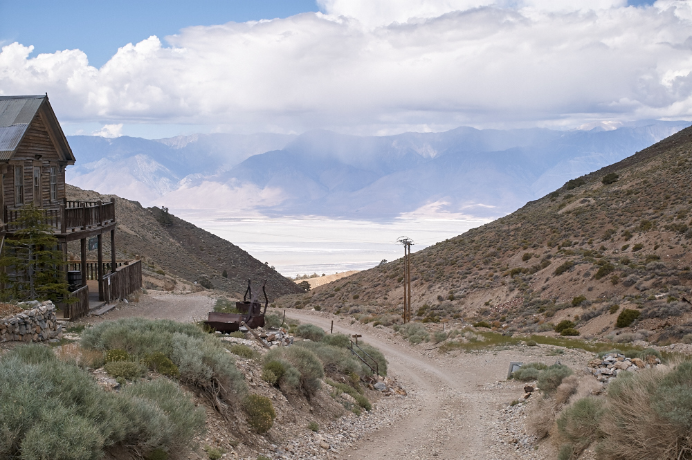
We slept good and the sun
was shining when we got up. We had coffee sitting in our
camp chairs and took in the surroundings. The morning
light illuminated the Owens Valley to the west with rain
squalls pelting the upper valleys. The building on the
left is the Cerro Gordo hotel.
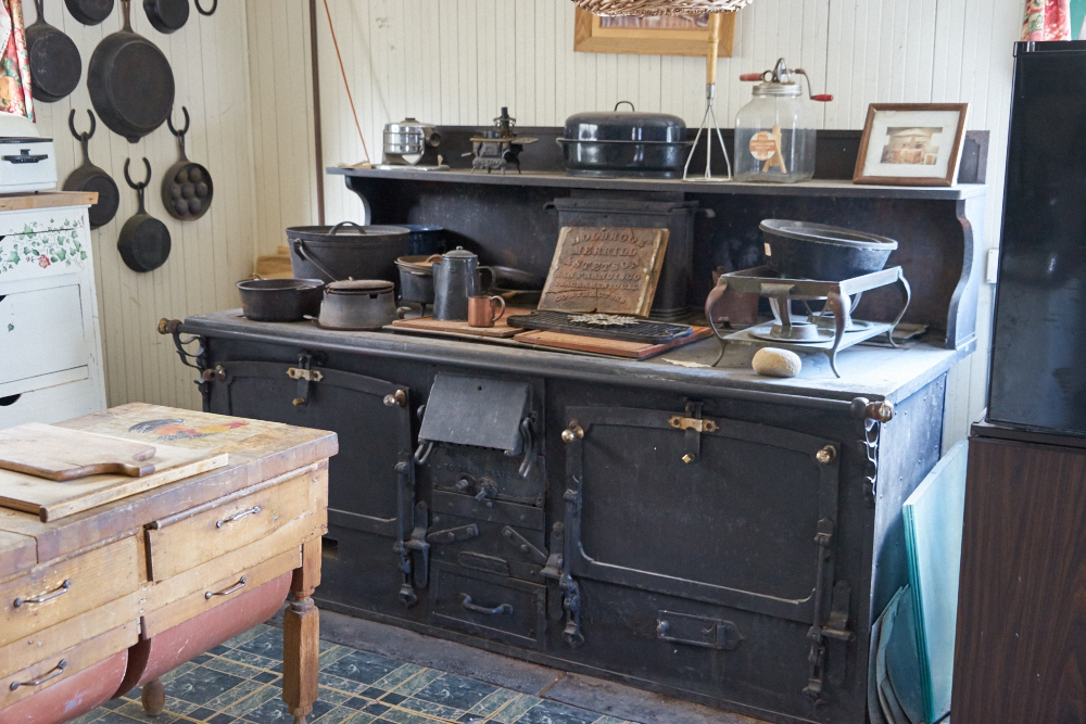
We went into the hotel and
found a huge oven that was used 24 hours a day during Cerro
Gordo's heyday. The stove took several hours to come to
temperature so the easiest thing was to keep it going all the
time. Plus, Cerro Gordo mines had two shifts and after
12 hours underground, miners have a tendency to be a bit
hungry.
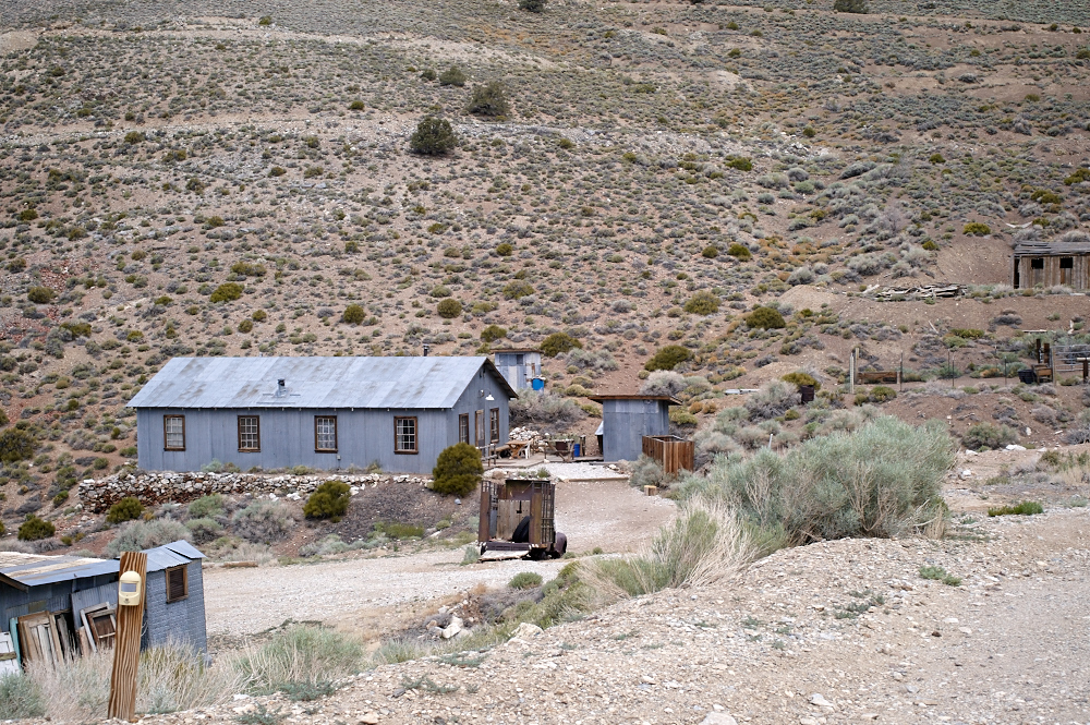
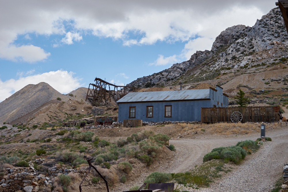
The large building is the
bunk house. The small building just to the right is an
outhouse and the next bigger building is the shower house.
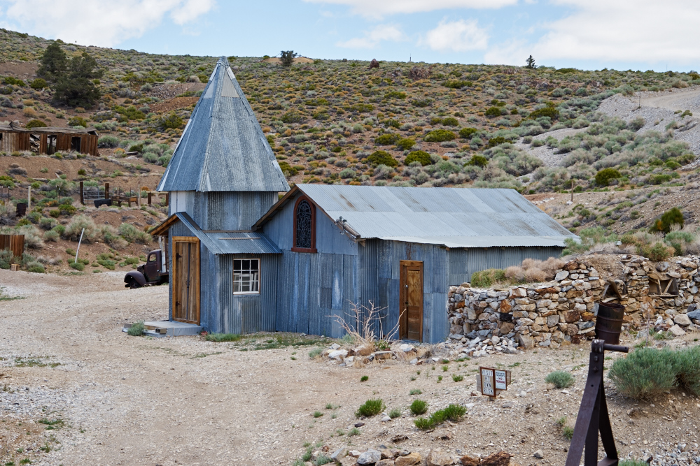
Bob did not tell us what
this building was, but from the gabled roof, one would suspect
it was a church of some kind.
The mine dump railway is visible on the skyline. The building in the
foreground now
serves as the Cerro Gordo museum.
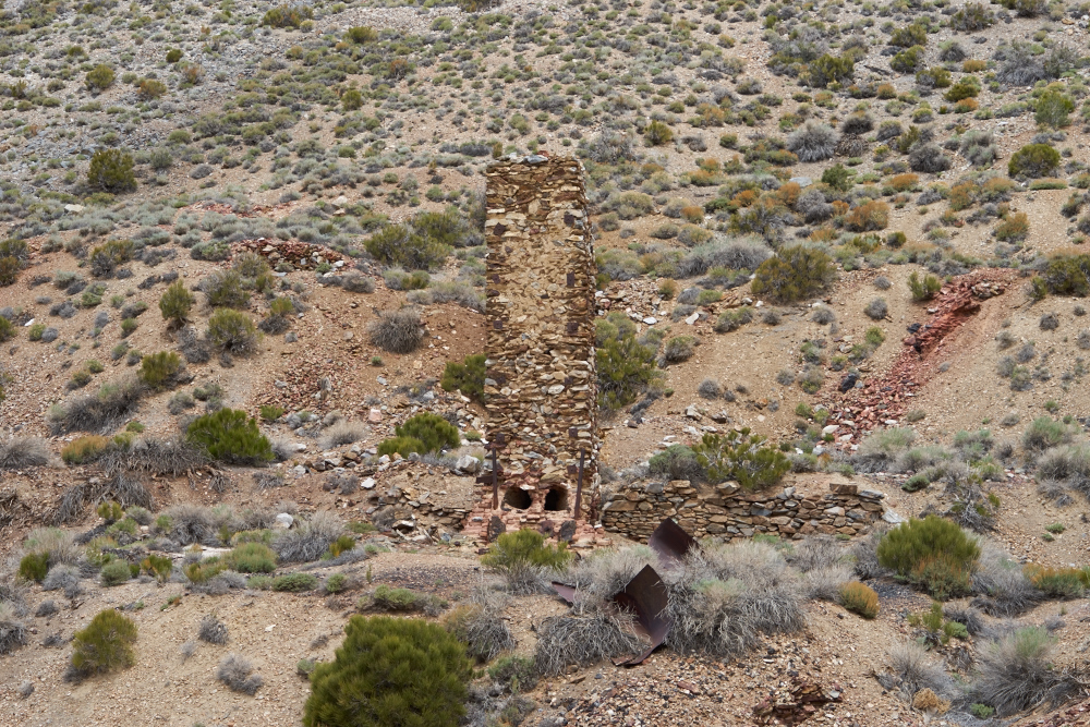
Just down the hill was a
chimney of one of the smelters at Cerro Gordo.
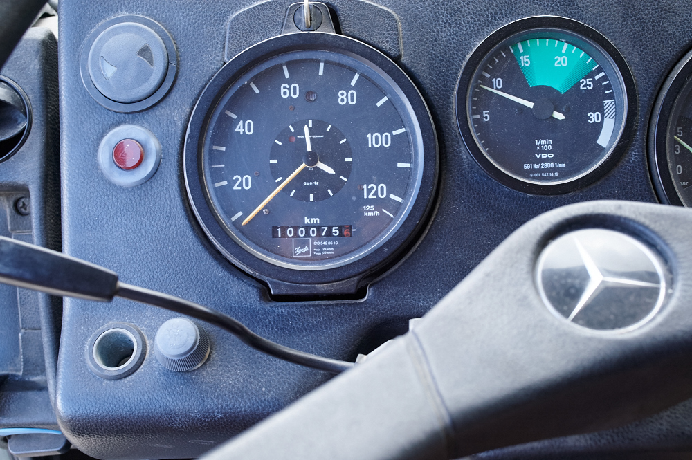
Happy Birthday Thor!
He just turned 100K (kilometers). He had 30K when I
bought him in 2010 and rescued him from sitting in a dusty
yard in La Junta, CO. Thor's story and construction
details can be found on
this web page.
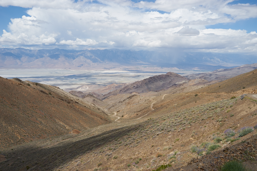
The road to Cerro Gordo is
very steep. Going down, I was over-revving the motor in
3rd gear low range so I had to gear down AND use the exhaust
brake. The cliff-hanging trail gave us an awesome view
of the Owens Valley. Note the rain squall on the far
side of the valley. We would experience rain off and on
all day.
The Cerro Gordo peak area
is riddled with old mining infrastructure. The wooden
chute was used to load ore. The mountain is peppered
with tunnels and shafts. The excavation from several
tunnels can be seen toward the upper right of the photo above.
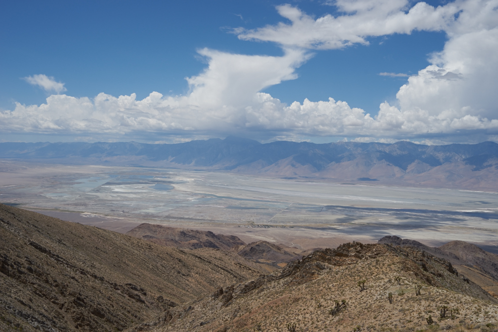
As we got further down the
grade we had a clear view of an impressive road on the other
side of the valley. I am guessing the road is quite
scary and the consequences of a mistake fatal.
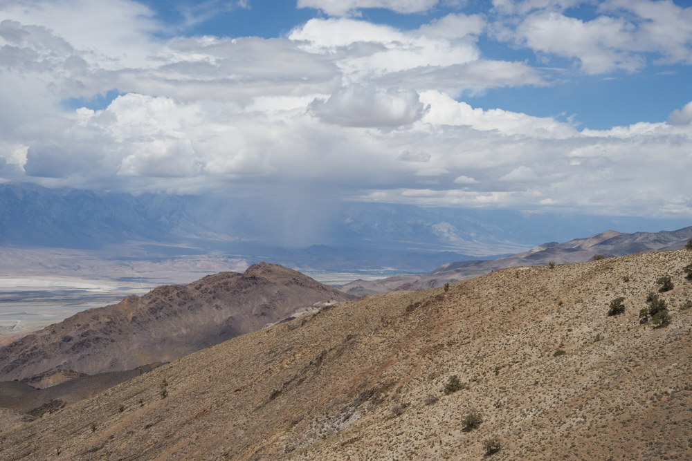
The squall to the
northeast increased in intensity. The rain sheets are
clearly visible.
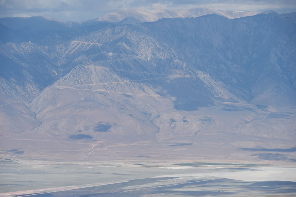
We hit a switchback that
gave us a clear view to the southwest over the dry Owens lake
bed.
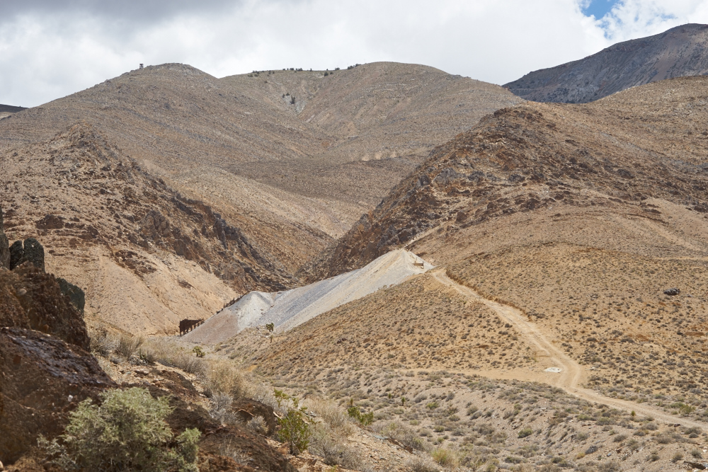
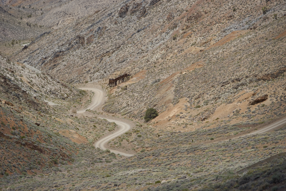
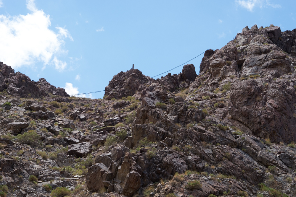
We passed plenty of mining
infrastructure that was abandoned. Note the tower on the
skyline at the upper left of the photo above -- it was part of
the aerial tram used to deliver ore to the bottom of the
mountain.
In the
distance, some of the tram towers were visible.
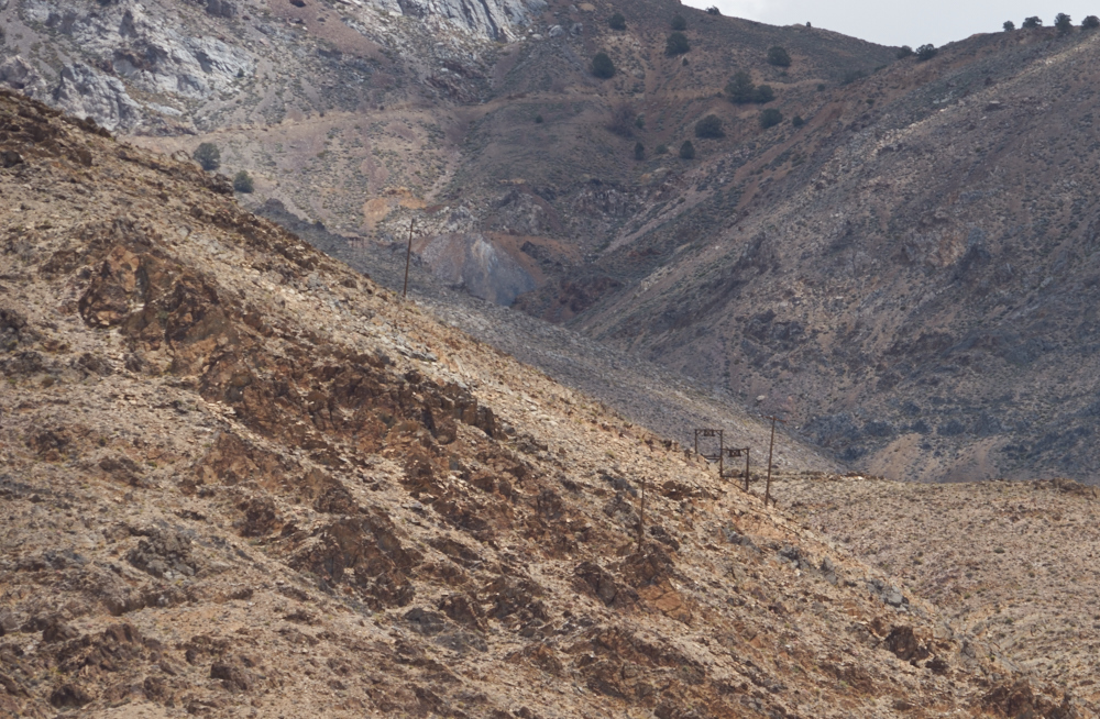
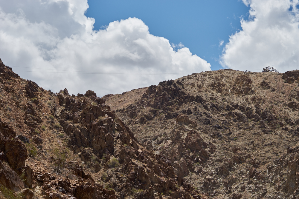
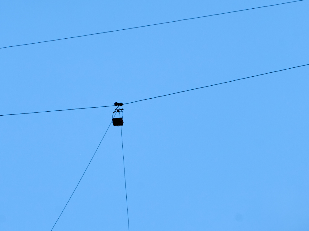
A zoom shot reveals that
these towers remain, complete with cable. The tram chose
"the best path" and the more recent power lines followed the
historical choice.
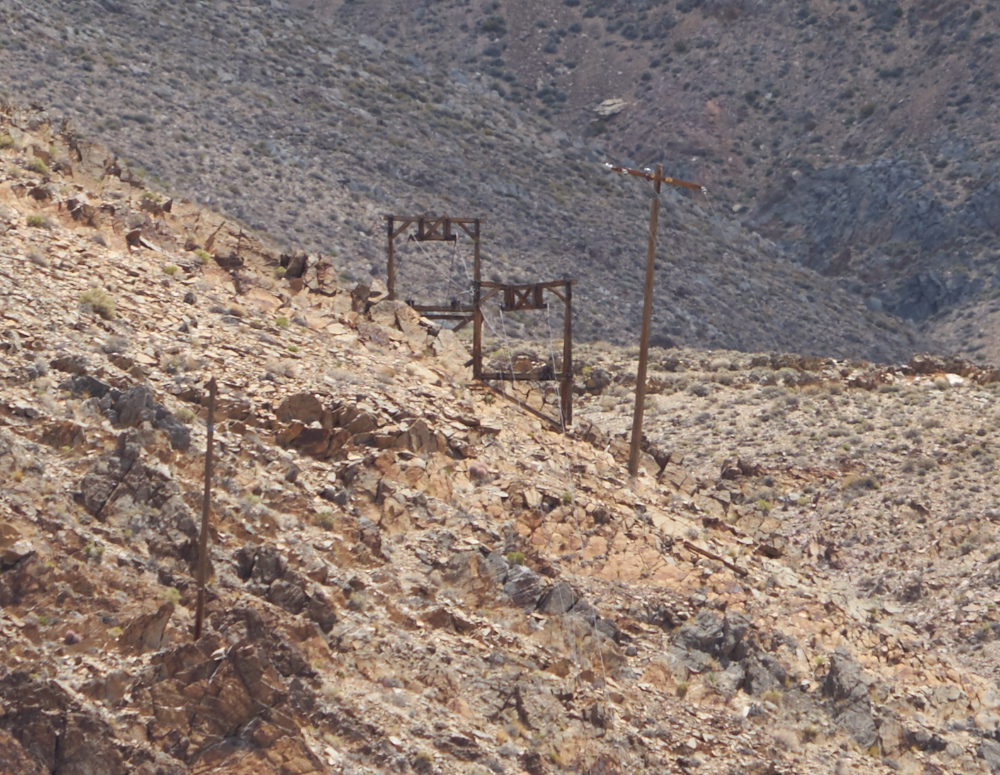
Note the cables that drape
over the top of the wooden ore chutes.
Further down the canyon,
the cables were now laying on the rock faces. The towers
had collapsed or were scavenged.
The cables were visible on
the skyline.
Lower in the canyon, the
cables were still in place and went to a large cable
supporting structure visible on the right.
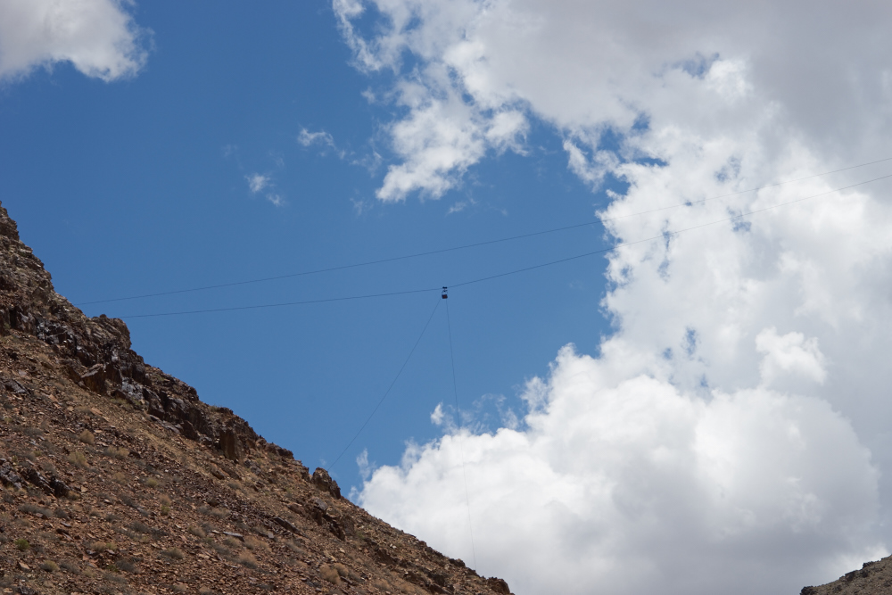
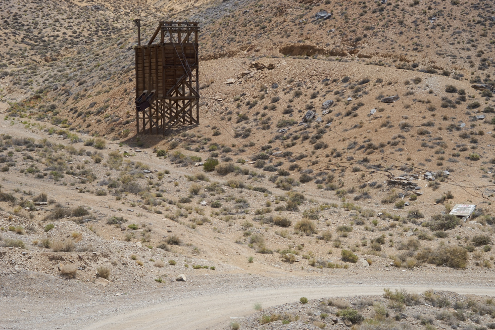
Lower still, we passed a
side canyon that had an ore car still hanging. The lower
cable (hanging) was used to power the buckets on the way up,
and slow them on the way down. Bob told us that a fellow
flew a drone over that bucket and photographed it. He
analyzed the photo and claimed that the bucket still has ore
in it!
I can only imagine the
power required to take a strain on the 1" cable used for the tram. I wonder
how they got the massive cable up the mountain.
It was spliced, for sure, but even so, the segments would
have been very, very heavy.
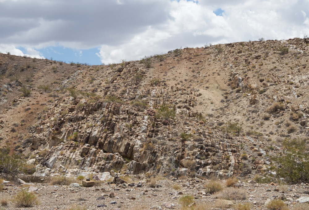
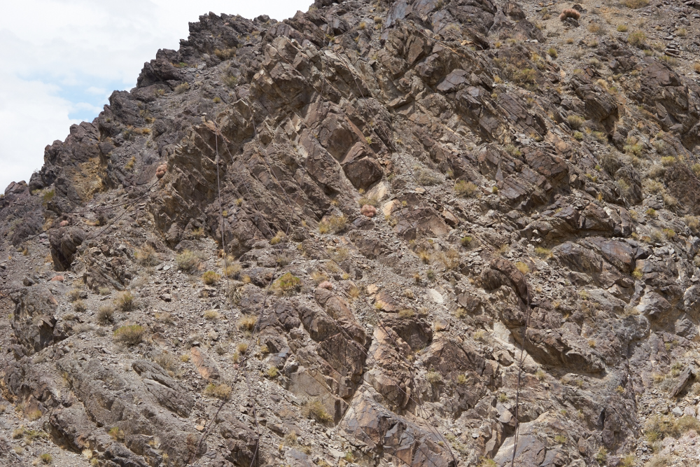
Near the exit to the
canyon we passed these vertical beds that are a testament to
the intense geologic forces that made these mountains.
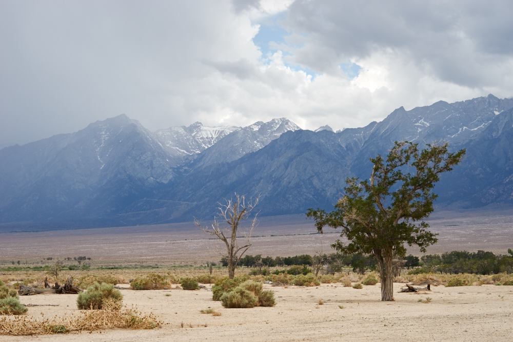
We exited the dirt road
and traveled to US-395 and then north. At Manzanar, we
decided to check out the exhibits of the old Japanese
internment camp. From the parking lot we got an awesome
view of the still snow-covered Sierra Nevada to our
west. Manzanar is an interesting study in politically
correct apologetic revisionist history.
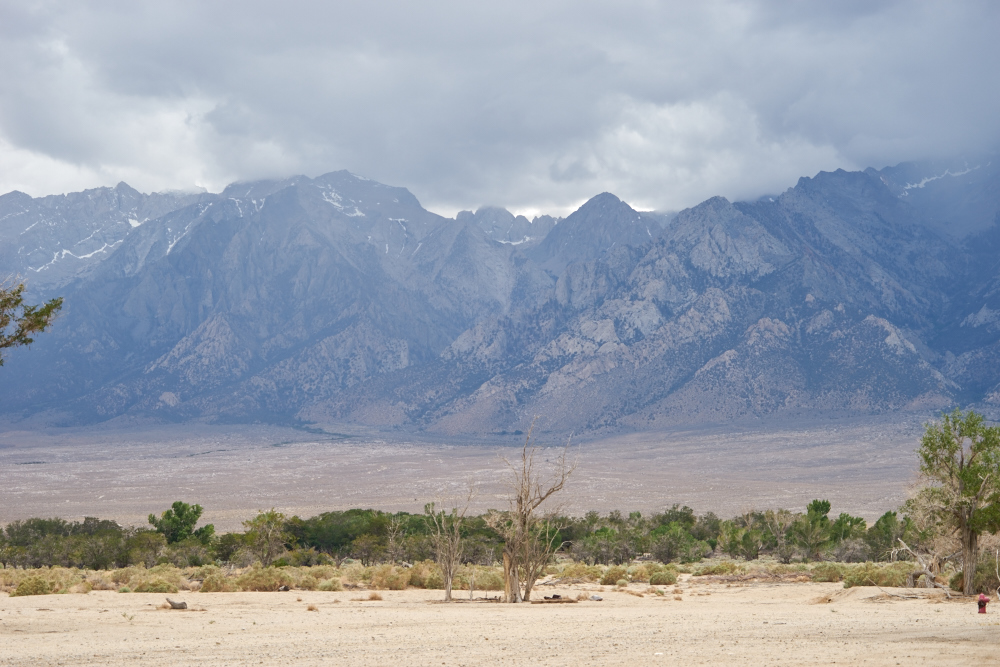
The face of the mountains
must have been a daunting sight for early travelers attempting
to cross the rage to get to the 1849 gold fields.
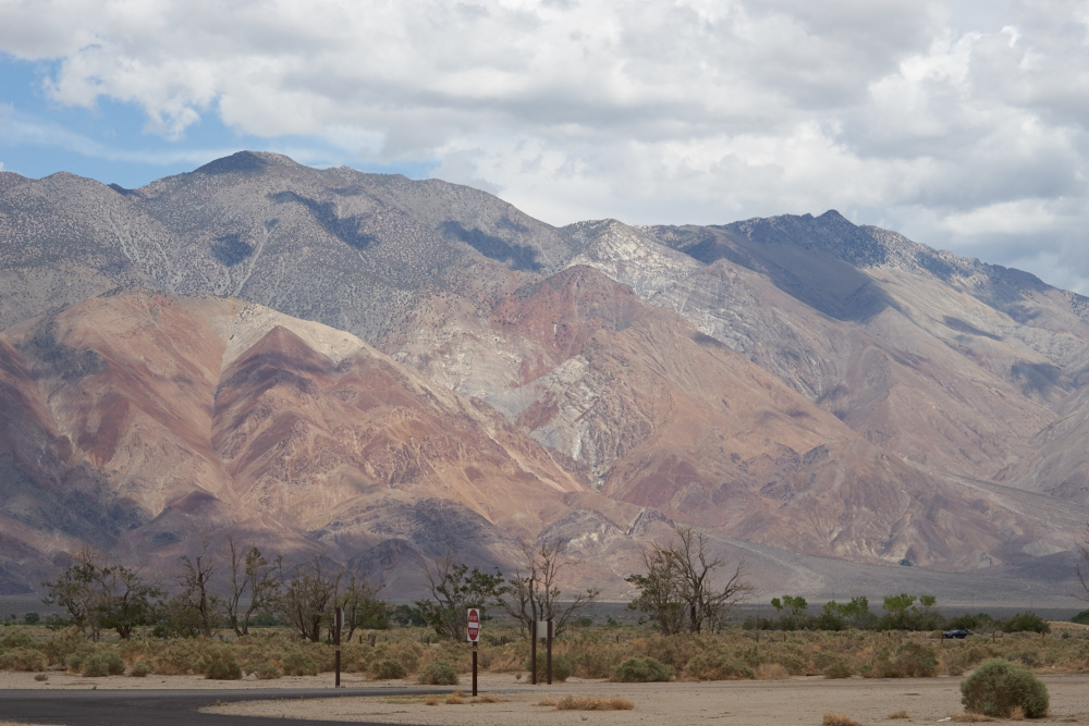
To the east, the Inyo
Mountains had colorful bands of highly mineralized ridges.
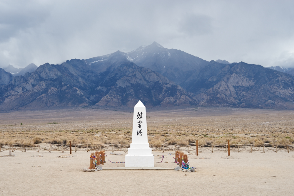
The monument at the
Manzanar cemetery was an impressive sight with the massive
peaks of the Sierra Nevada in the background.
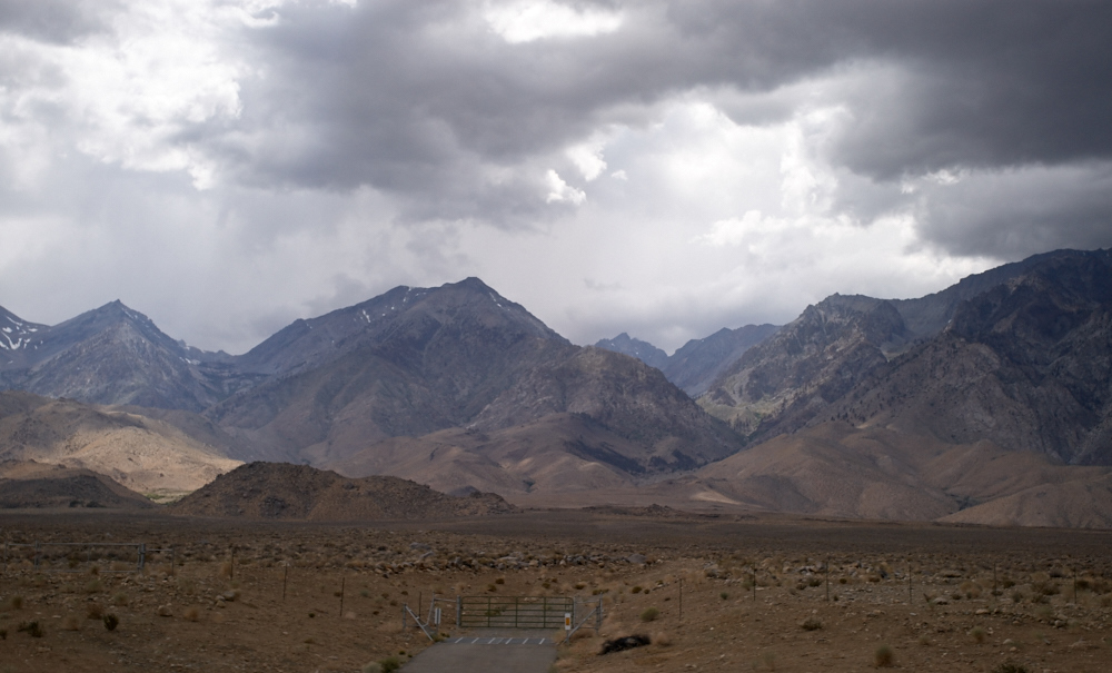
Further north outside of
Lone Pine, the weather degraded giving us intermittent rain.
We headed east into the
White Mountains with the
expectation of seeing the Bristlecone Pine grove, but were
overtaken by the
clock. The road was very steep and Thor was
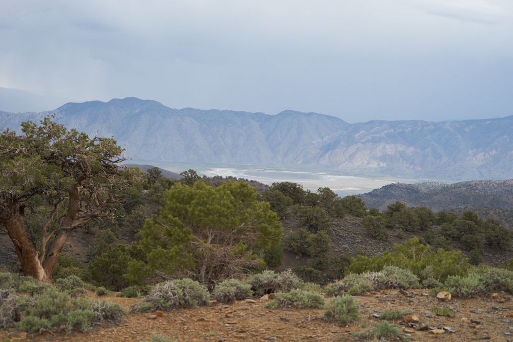
maxed-out at 25mph. We rolled into Grand View
campground and despite the overcast, got a grand view of
the Owens Valley to the west.
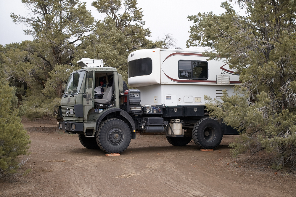
We ended up doing two laps
of the campground looking for a site that was acceptably
level. We chose the best one we could find, but still
had to block the wheels to get the living quarters reasonably
level. The rain found us shortly after we parked.
| Previous Adventure | ||
| Trip Home Page |
Photos and Text Copyright Bill Caid 2015, all rights
reserved.
For your enjoyment only, not for commercial use.