The photos below are what we saw.
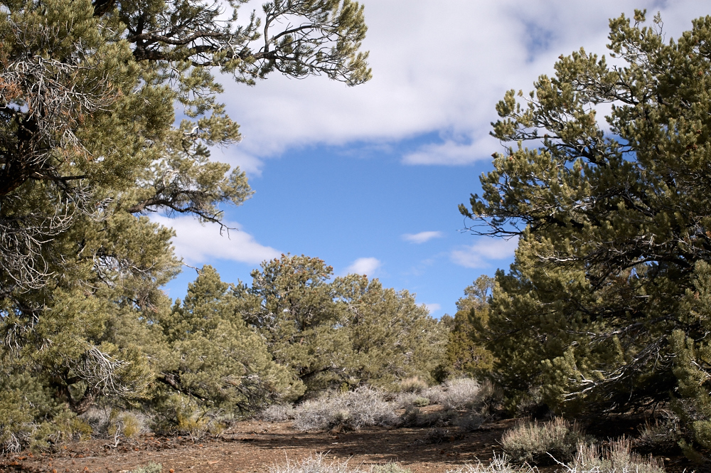
Our camp was in the
Pinon Pines. Pinons provide a very nice nut, called
pignoles by the Italians and pine nuts by the Americans.
The native Indians survived on these nuts.
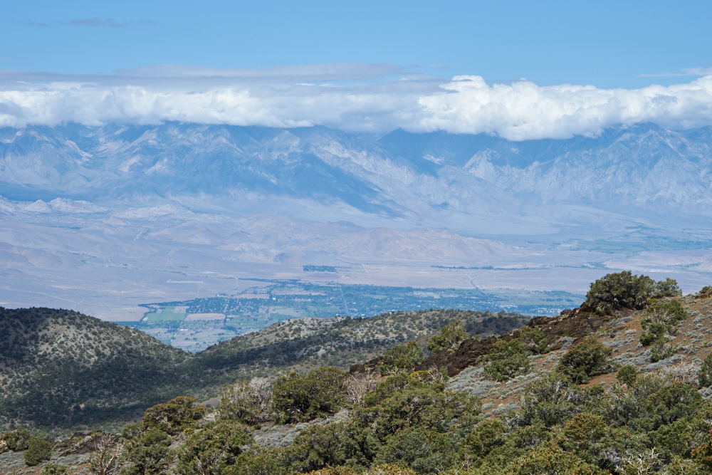
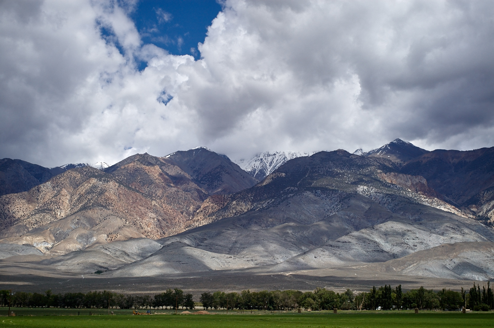
We
traveled north toward the Bristlecones and hit a view point that
gave us an awesome view of the town of Bishop in the Owens
Valley, 6,000 feet below. The Sierra Nevada was still
cloud-cloaked from the previous night's rain.
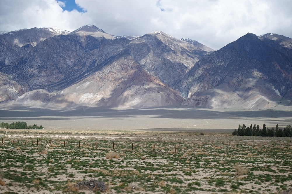
From the
viewpoint we could south to Deep Springs dry lake. Deep
Springs is in the middle of nowhere on the California-Nevada
border, but gained notoriety during the Cold War as being a
Russian nuclear weapons detection outpost. The U.S., as
part of the SALT agreement, allowed them to have a set of
personnel stationed there to insure that no nuclear weapons were
being tested at the Nevada Test Site, only 50 miles away.
Other than that bit of history, Deep Springs is just another dry
lake bed.
We
continued north to the Bristlecone Pines area and stopped to see
the exhibits, but the Visitor's Center was closed.
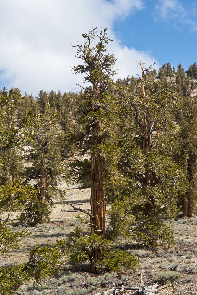
The
Bristlecones are twisted, gnarly, slow-growing trees that can
thrive where less hardy species cannot. Some of the trees
are many thousands of years old and analysis of their tree rings
give us an intimate look at long-term weather patterns in the
west. Despite all the media fluff about California's
drought being caused by Global Warming, this area has suffered
many prolonged droughts in the past and the current one is
just-another in this cycle.
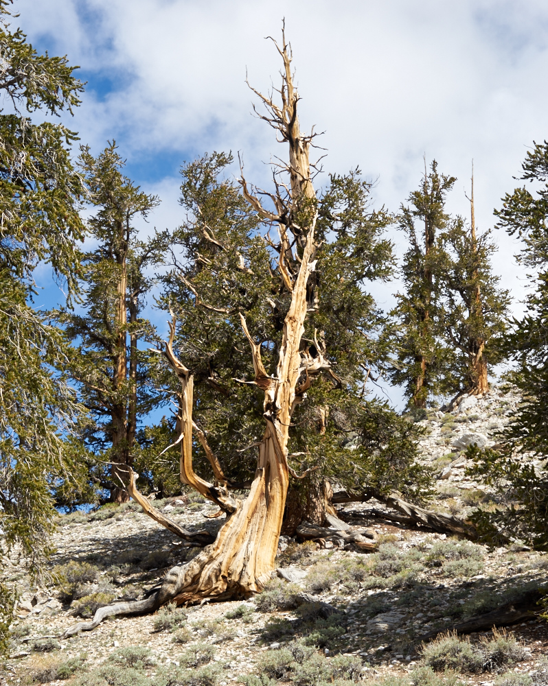
The
Bristlecones produce a very dense wood that is highly resistant
to insects and decay. These properties are critical to its
longevity.
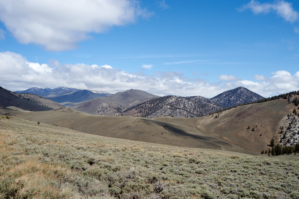
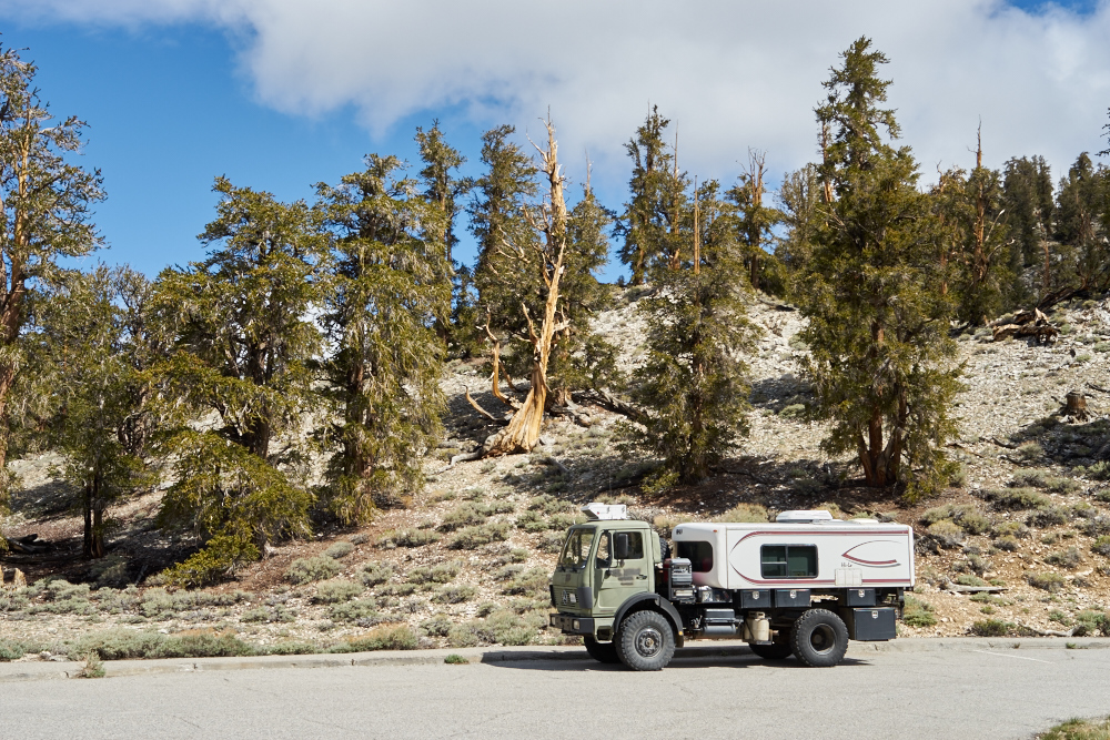
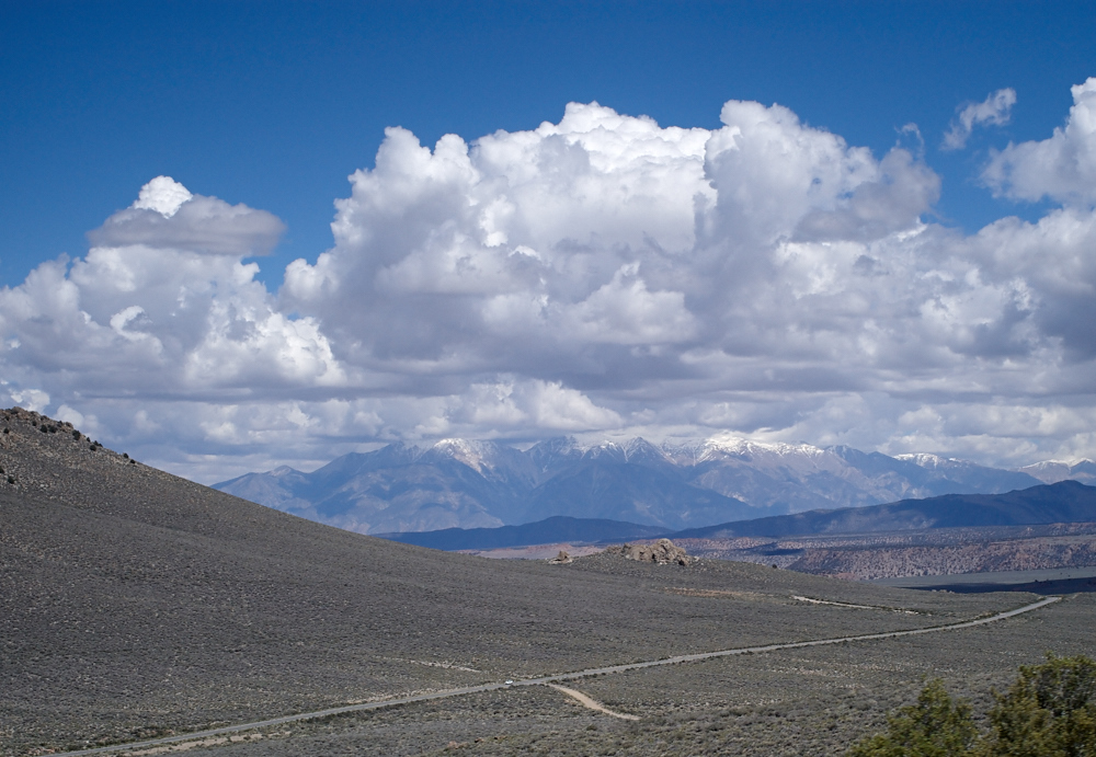
We
continued north and passed the 10,000 foot elevation point into
alpine tundra. White Mountain peak is over 14,000 feet and
still has plenty of snow.
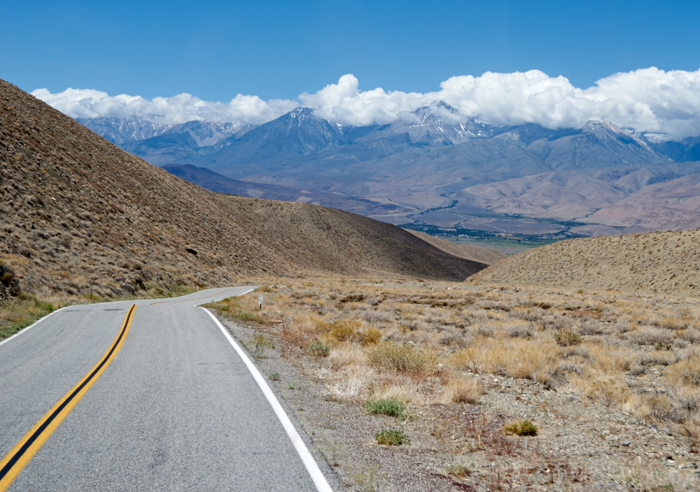
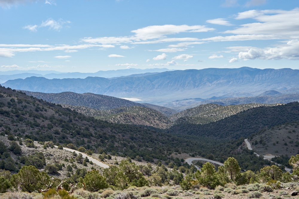
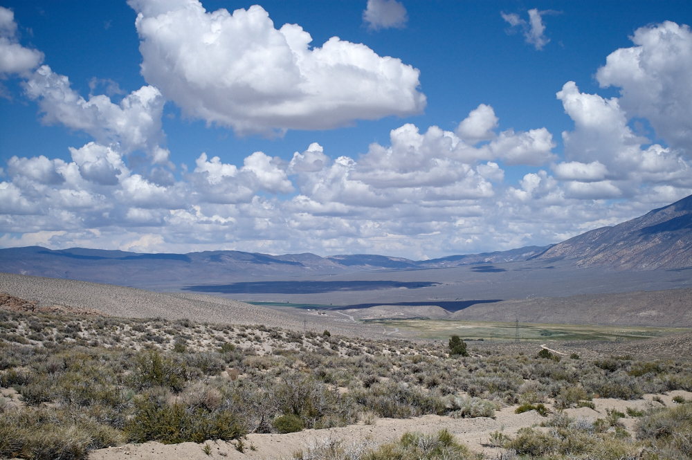
After
hitting our 4x4 road junction, looking at the map, looking at
the clock and reading the warning signs, we decided to change
our plan and return to the Owens Valley via the paved
road. Near the bottom of Westgard Pass we got a nice view
of the Sierra Nevada range to our west. Westgard is a very
steep road and has a section where the state highway is only one
lane as the road goes through a volcanic canyon.
After a
resupply and food in Bishop, we headed north toward Benton on
US-6. On the western flanks of the White Mountains,
irrigation provides the basis for productive agriculture.
One mile
down the road, with no irrigation, you get "basin and range
scrub".
Near
Benton Hot Springs the clouds cast deep shadows on the
landscape.
From the
grade just west of Benton Hot Spring, the clouds cleared enough
to allow a view of the high peaks of the White Mountains.
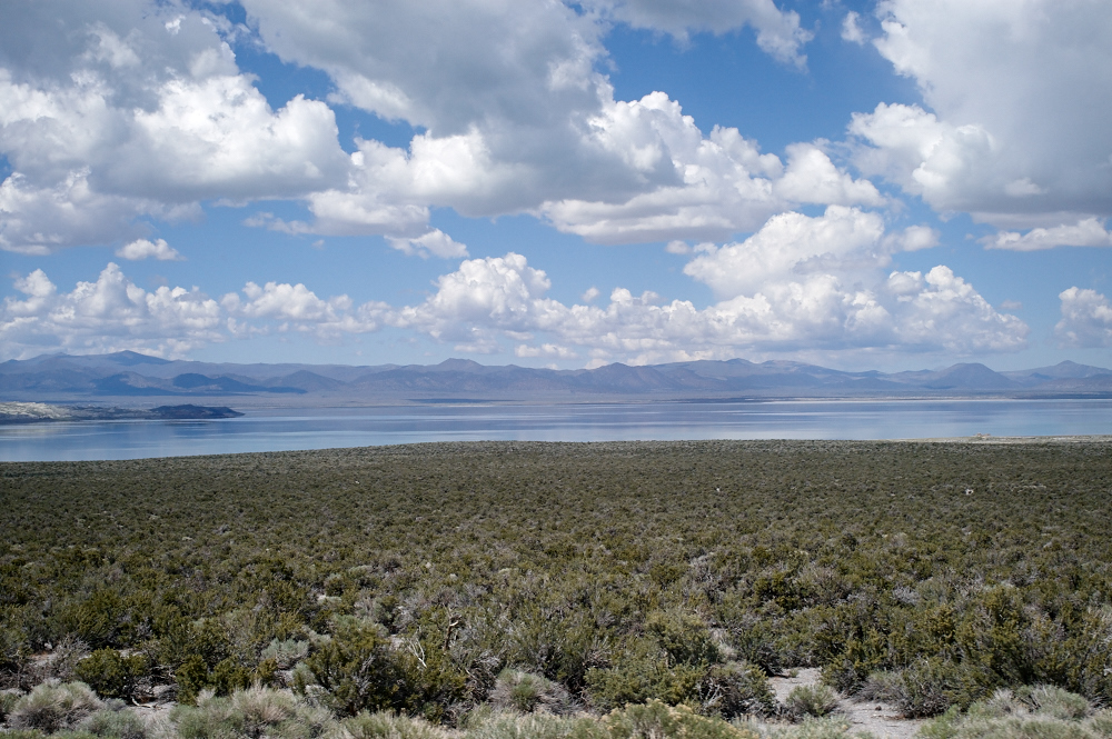
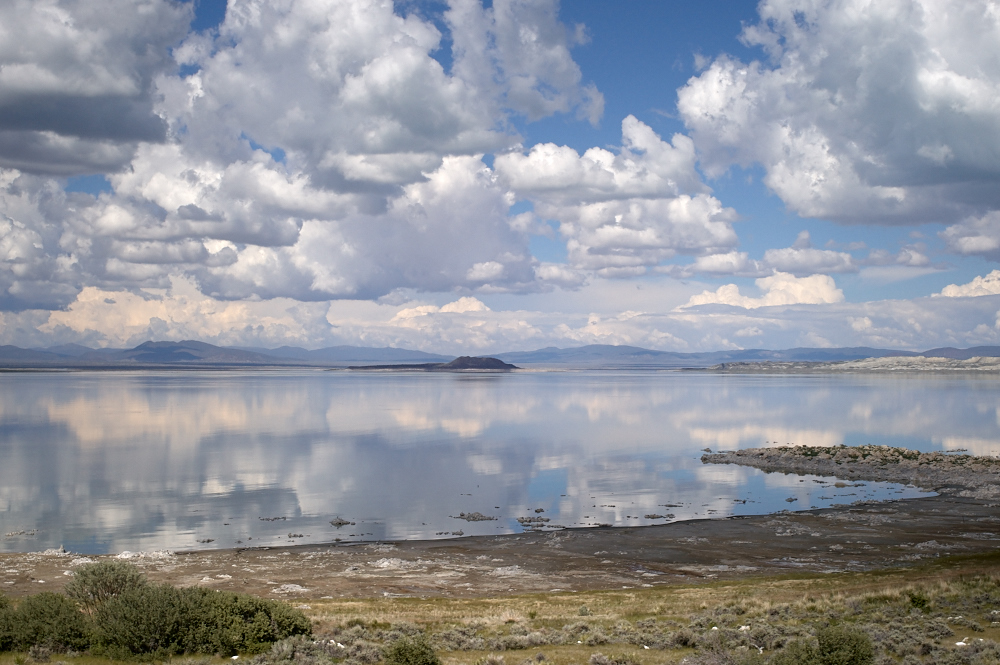
We
continued toward the west and got our first view of Mono Lake.
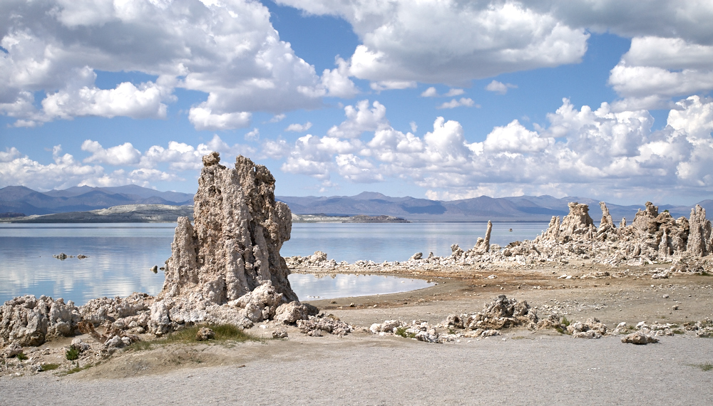
Despite
being late, we decided to stop at Mono Lake and check out the
tufa structures. These structures were created by the same
processes as those that formed the Trona Pinnacles: salt lake +
mineral hot springs + algae = tufa tower.
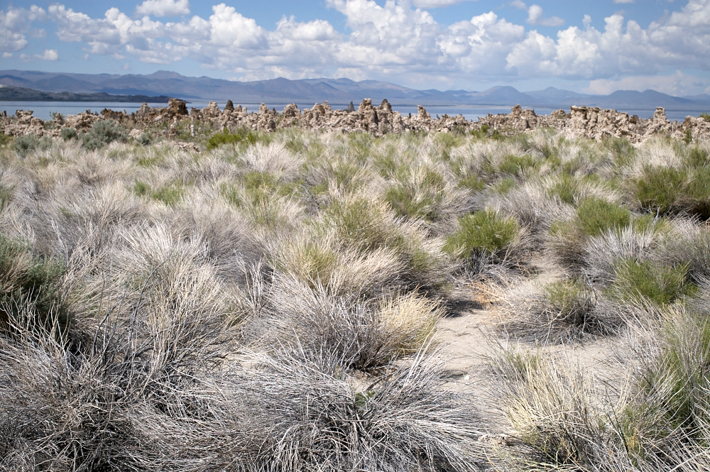
Some of
the towers were quite large (20 feet) but in general they were
much, much smaller than those at Trona. Trona's
pinnacles were hundreds of feet tall and much bigger in
circumference.
The
salt-tolerant brush and bright clouds provided interesting
contrast to the buff-colored tufa.
As
mountain runoff has been siphoned off for human usage, the level
of Mono Lake has continued to fall exposing structures right on
the waters edge.
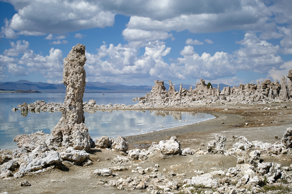
For a
sense of scale, the tower at the left is about ten feet
tall. Note the "oily" reflection of the clouds in the
lake. The dense brine in the lake has a higher viscosity
and is therefore less disturbed by wind producing nice
reflections.
On
regular water, the breeze would have produced significant
ripples and ruined the reflection.
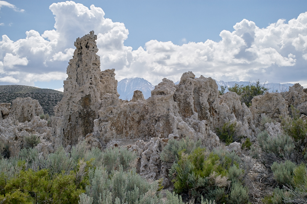
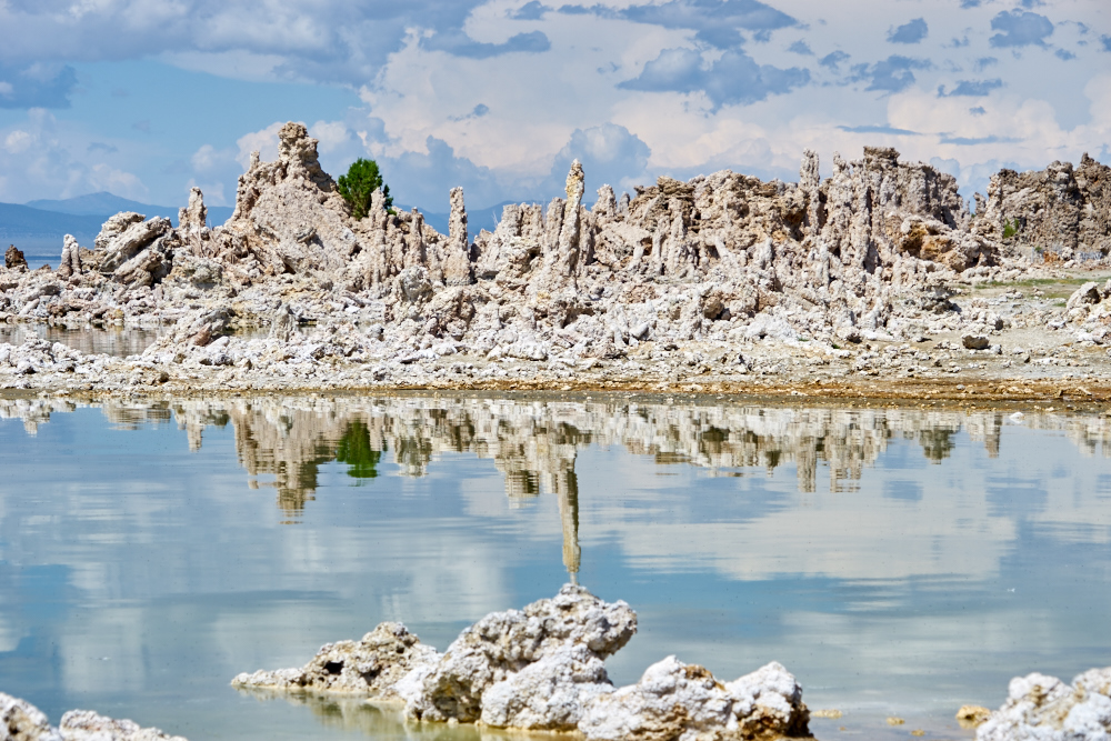
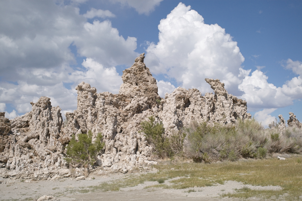
Several
areas had large clusters of towers.
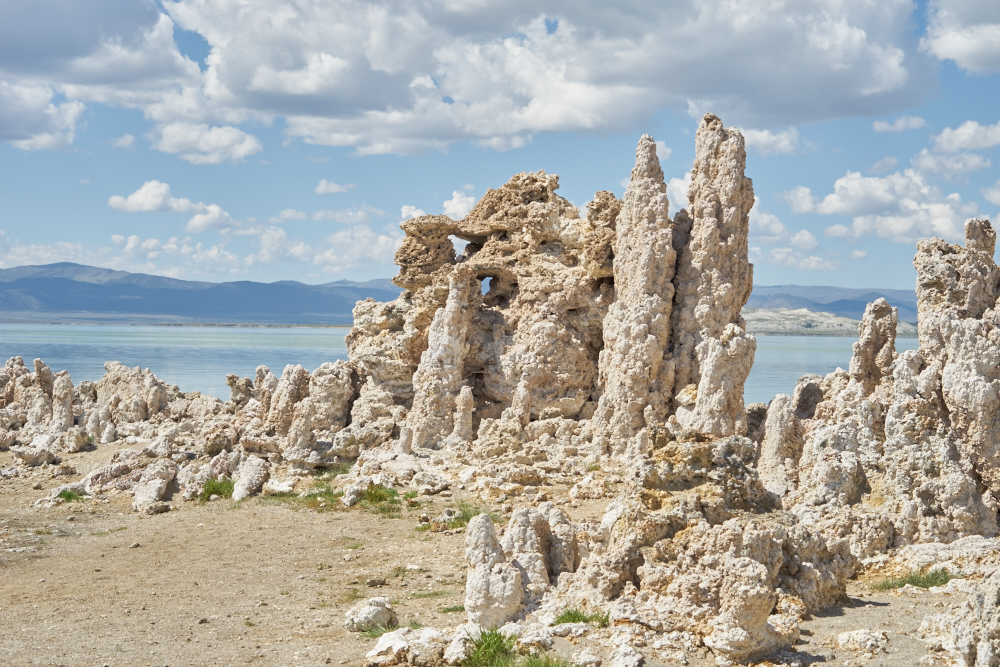
Some of
the towers had complex shapes with portals.
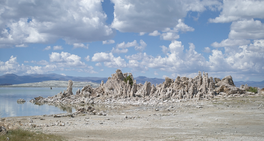
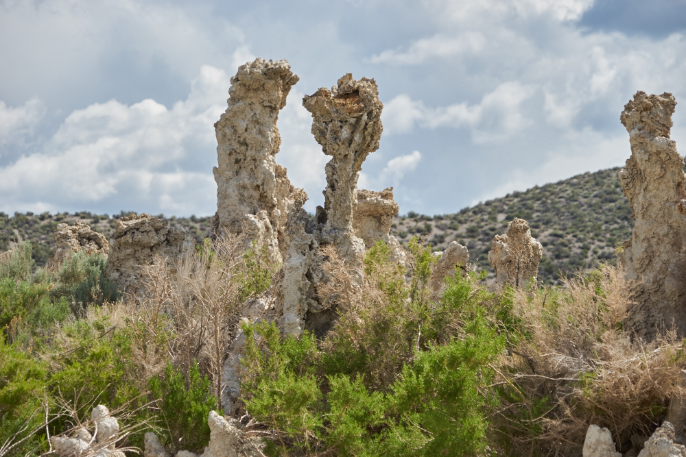
This set
was one of the tallest we saw, perhaps 25 feet tall.
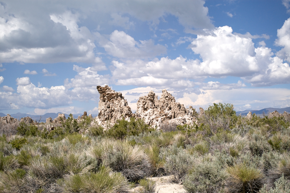
This set
of towers were quite thin and had interesting shapes.
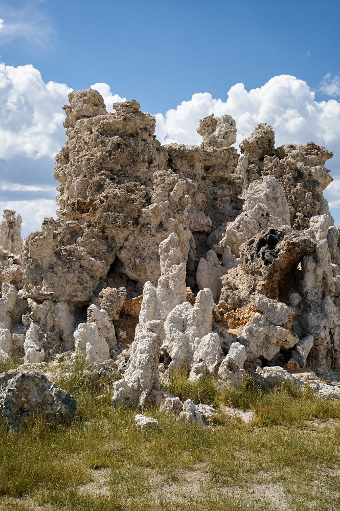
Mono
Lake has several kinds of salt-tolerant grasses and brush that
can grow near the briny water. Note the portal in the tufa
near the right edge of the photo above.
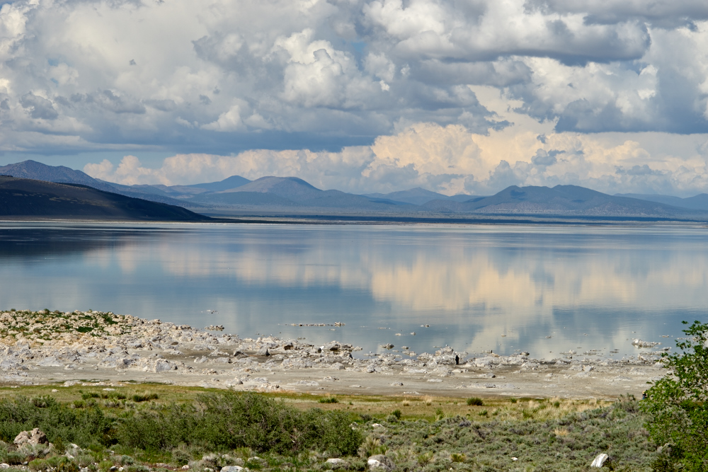
We
prepared to continue our travel north and got a view of nice
reflections of the hills and clouds to the west.
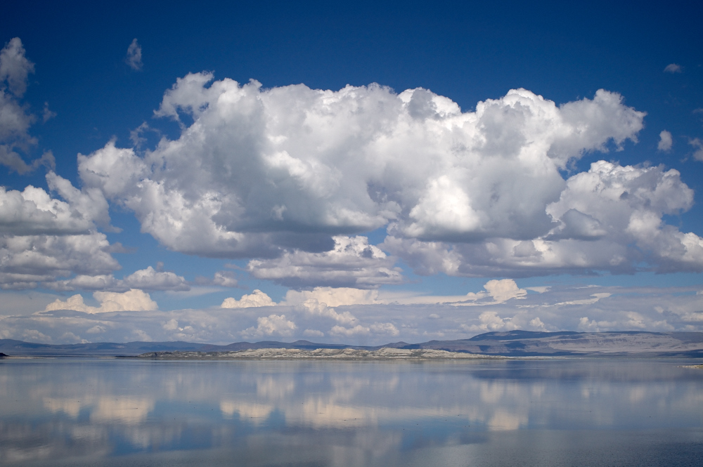
We continued west to
US-395, then north. From 395 we got a nice shot of the
clouds reflected on the saline waters of Mono Lake.
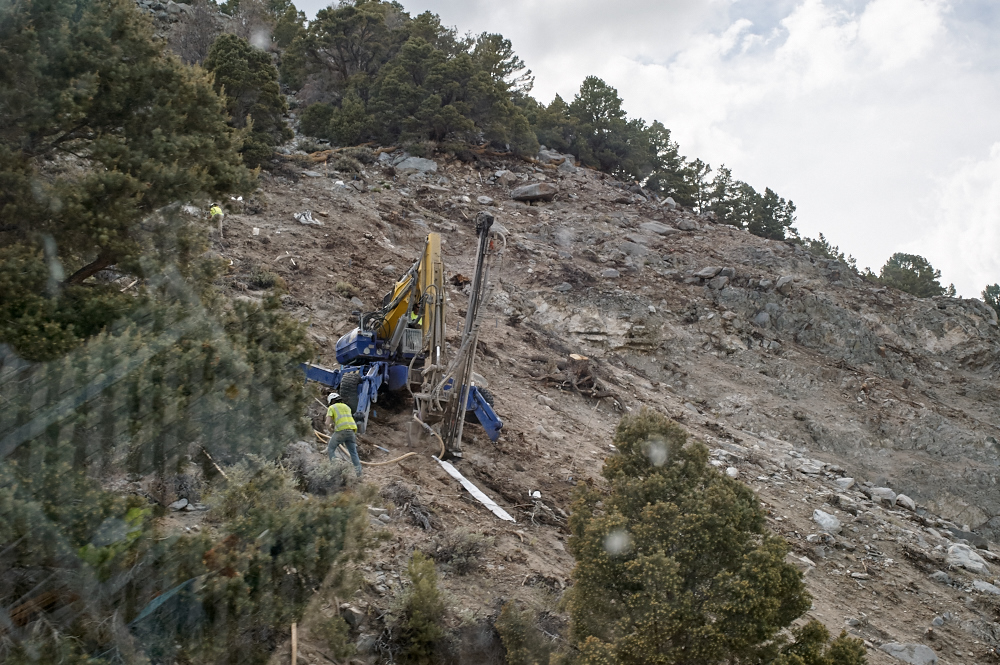
There had been a
large landslide that blocked one lane of 395. Workers
had equipment on the slide area attempting to put in rock
bolts to help stabilize the cliff. The blue thing is a
kind of high-mobility backhoe that can ascend steep/rough
terrain.
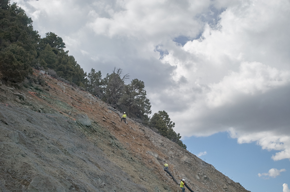
These workers risk
life and limb placing drain hoses to divert runoff from the
face of the slope.
From the
grade to the north of Mono Lake, we got a parting view looking
southwest.
| Previous Adventure | ||
| Trip Home Page |
Photos and Text Copyright Bill Caid 2015, all rights
reserved.
For your enjoyment only, not for commercial use.