We had
fun taking photos of the stars as the wind was calm and the
night was cool. Next morning, it dawned overcast and
breezy. We were within cell service from Trona so we were
able to get a weather forecast for our area: cloudy with a
chance of thunderstorms and possible flash flooding.
Perfect, just what was desired when you are camping in the
desert. We broke camp and headed north past Trona over the
pass and into the Panamint Valley.
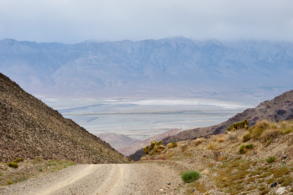
The photos below are what we saw.
The
overcast added flat light to an otherwise awesome scene.
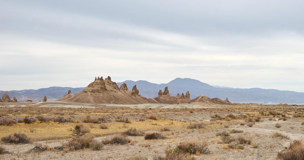
The
pinnacles we light painted the previous night are visible in the
distance. These are huge pinnacles.
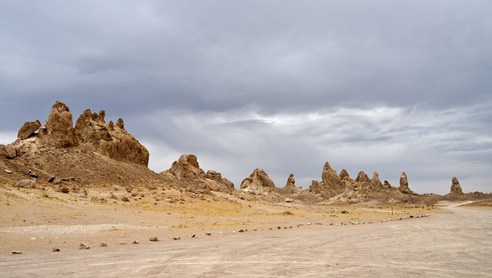
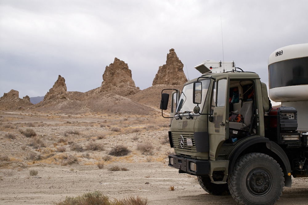
We
passed through the main pinnacle area. In retrospect,
these would have been better candidates for light painting
because you can easily get close to them and they were much
smaller allowing my wimpy flashlight to work better. Maybe
next time.
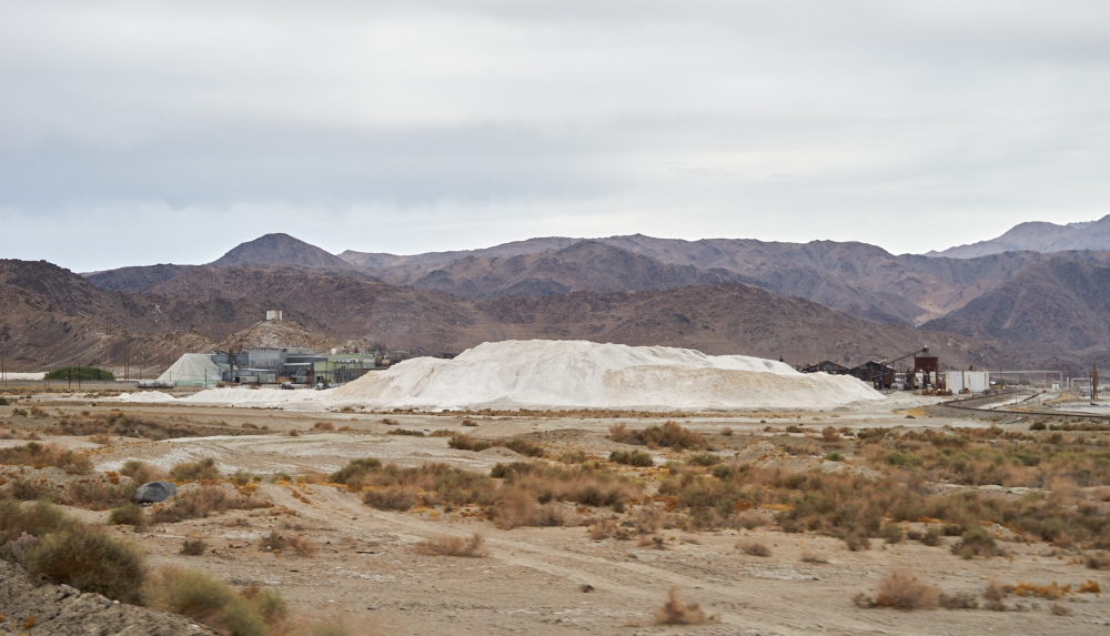
We
traveled north into Trona and from the highway we could see some
of the salt mining facilities. The salt products are
extracted from Searles dry lake and then shipped by truck and
train.
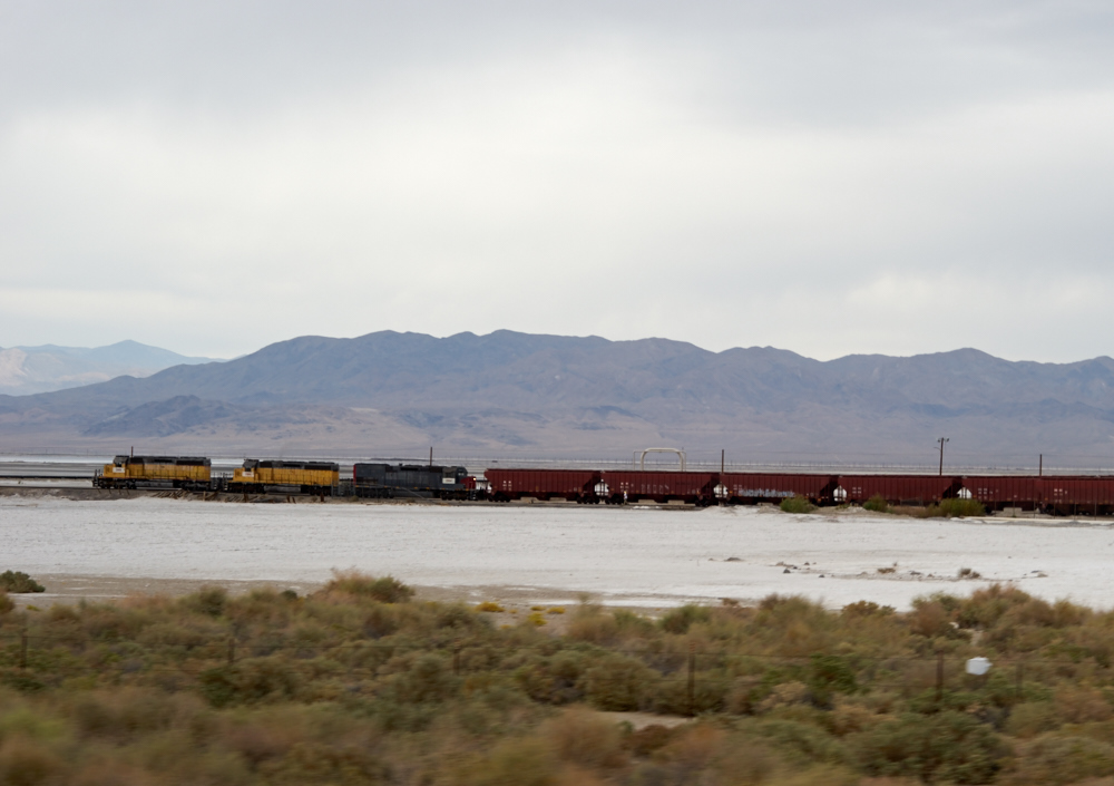
The
train we saw the previous evening was still being loaded.
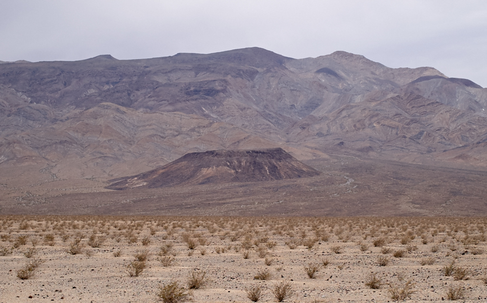
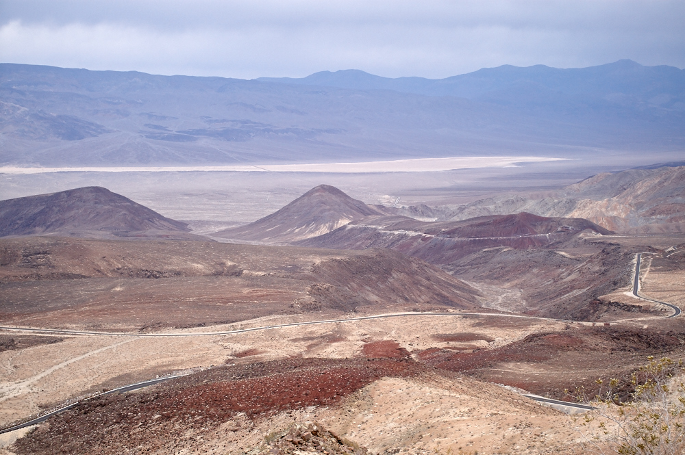
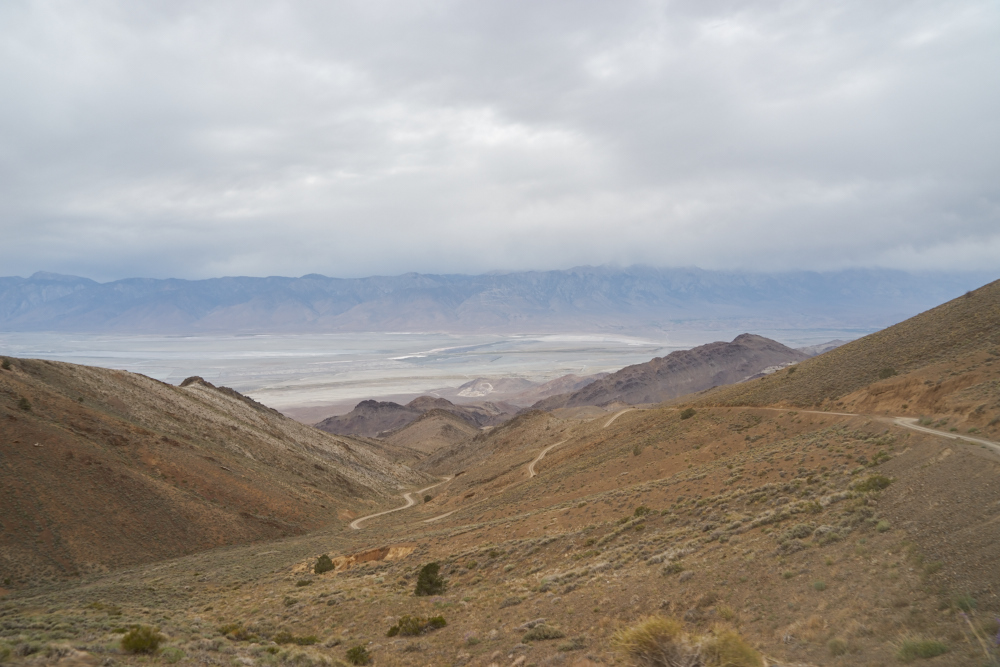
We
continued north into the Panamint Valley. To the west of
the highway was a large volcanic cinder cone on the flanks of
the ridge. Note the twisted patterns in the bedding of the
rock on the right side of the photo above.
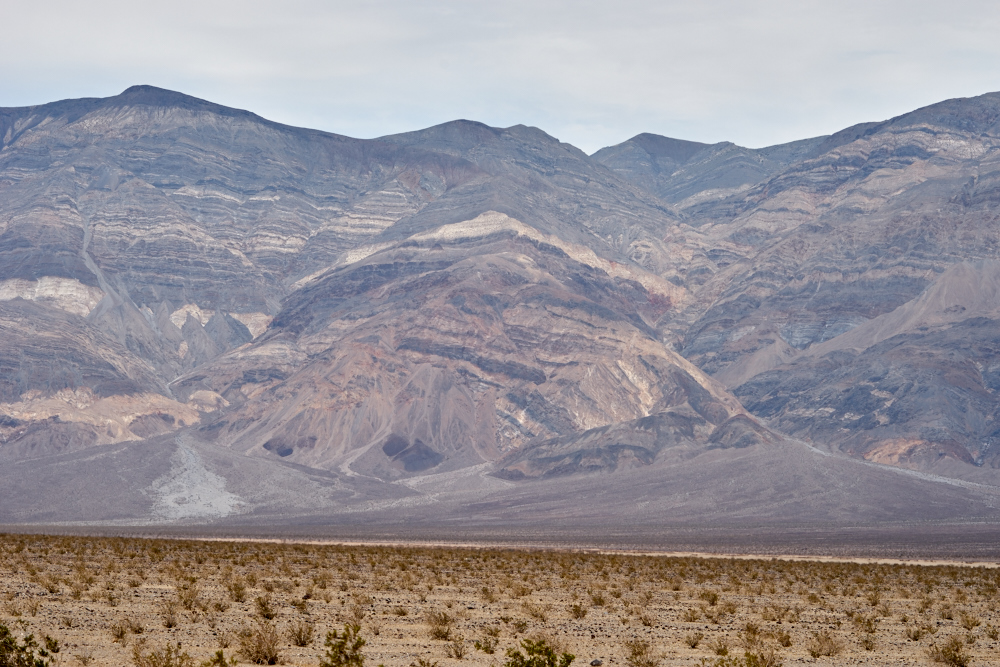
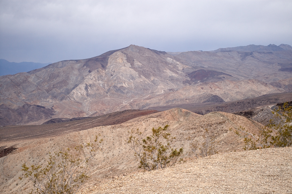
This
photo tells volumes about the tortured landscape of the Death
Valley area. Layered, uplifted, twisted, faulted and then
eroded, the remaining cliffs expose a wealth of history.
Note large flow-bajadas at the mouths of the canyons and in
particular the light-colored flow on the left canyon.
Landslides and slumps are visible in the upper reaches of the
left canyon.
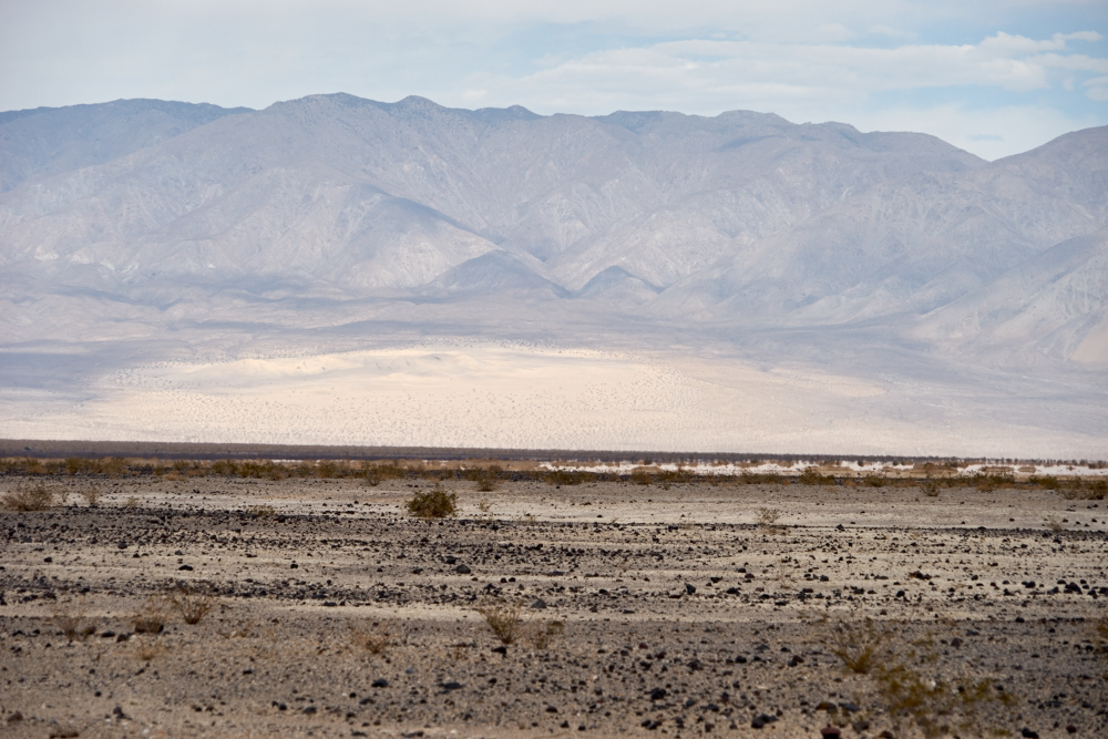
Further
north near Panamint Springs there were blow-sand dunes.
Note the dark volcanic ejecta on the desert floor.
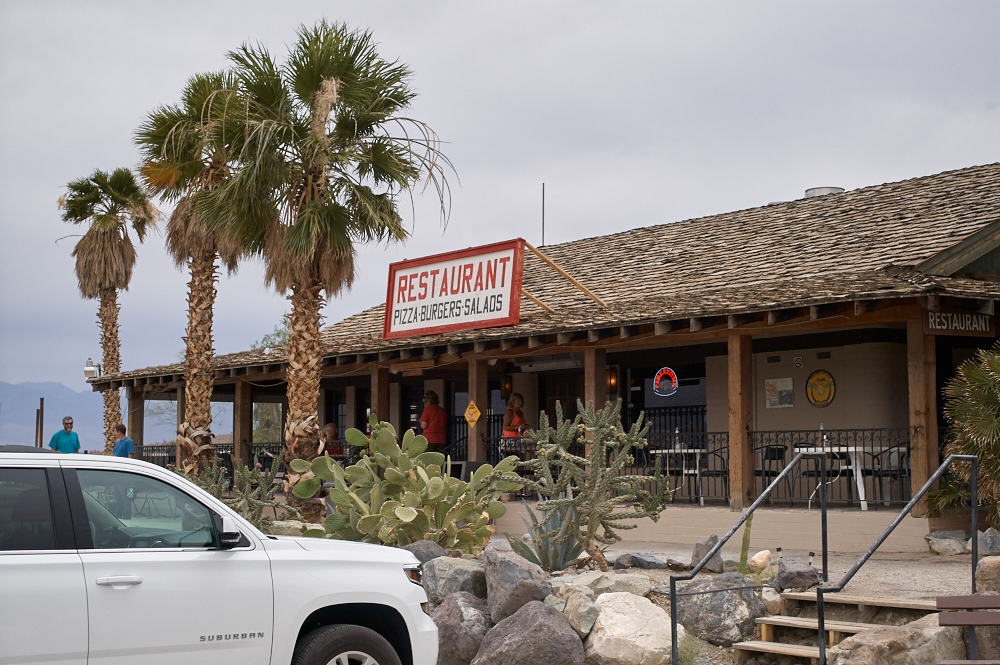
We were
hungry and when we passed Panamint Springs we decided to get a
burger. This is an old, historic building. The
springs are one of the only reliable water sources in the area
so all travelers of old were forced to pass here. New
roads followed old trails and the springs are still here.
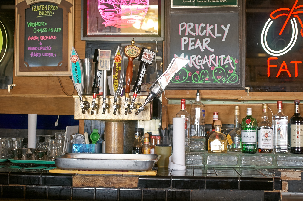
The bar
was quaint and the bartender friendly, so we passed our time
talking about Thor, our travels both past and planned.
When I mentioned that we were headed toward the Cerro Gordo
Ghost Town, the waitress said "Oh, would you take a pizza to
Bob? We send him pizzas all the time." Sure, why
not? After we finished our burger, we took Bob's pizza,
secured it in the camper and headed up the grade from Panamint
Springs to Keeler. Panamint is at around 1940 feet, the
pass is at 5260 feet and Keeler is around 3643 feet. But,
I did not realize that Cerro Gordo was at 8500 feet. We
had some climbing to do.
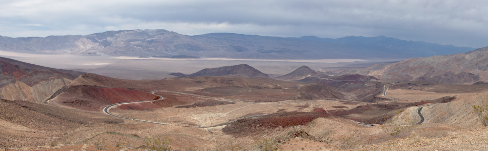
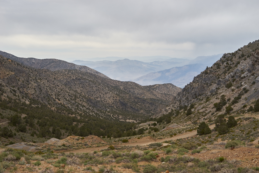
We
struggled up a steep grade and finally reached the Father
Crowley overlook point. We drove past the parking lot on a
dirt trail to the best viewpoint and I captured the panorama
above resulting in a 17MB JPEG image (reduced for display
above). Panamint dry lake is visible in the distance at
the base of the Panamint range. The blow-sand dunes are in
the center of the valley toward the left edge of the
valley. The dark zones are volcanic ejecta, ash and tufa.
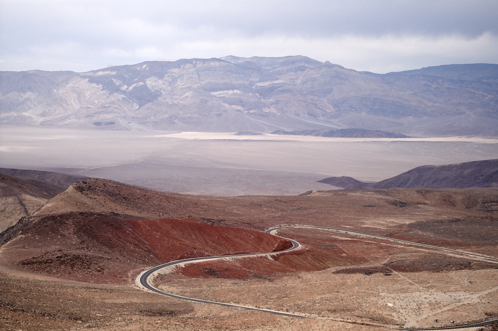
A closer
look at the northern portion of the valley. Note the
twisted bedding and exposed cliffs on the far valley wall.
The red hills in the foreground are volcanic cinders.
Further
to the south, the dry lake bed is clearly visible as are the red
ash layers.
To the
south, highly mineralized areas are visible on the far mountain
face as is yet another volcanic cinder cone. The dirt
roads service mining exploration areas on the mountain side.
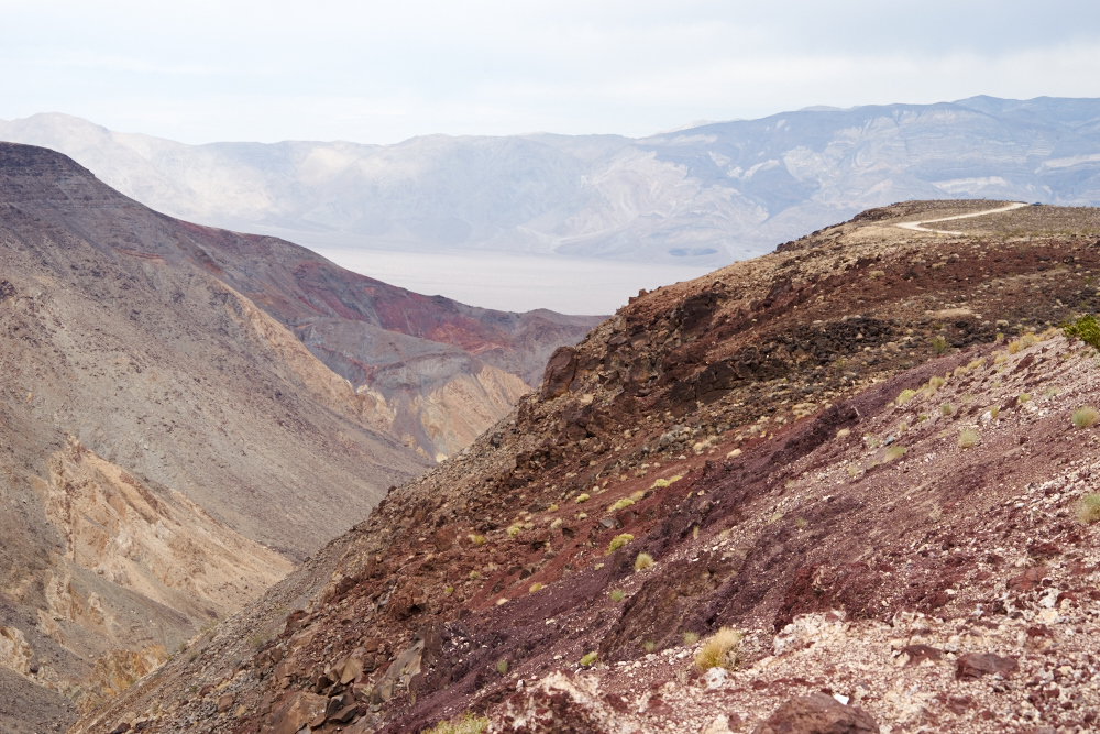
The
viewpoint was on a finger that was bounded on the north by a
massive, steep canyon. The trail to the viewpoint is
visible on the top of the ridge on the right.
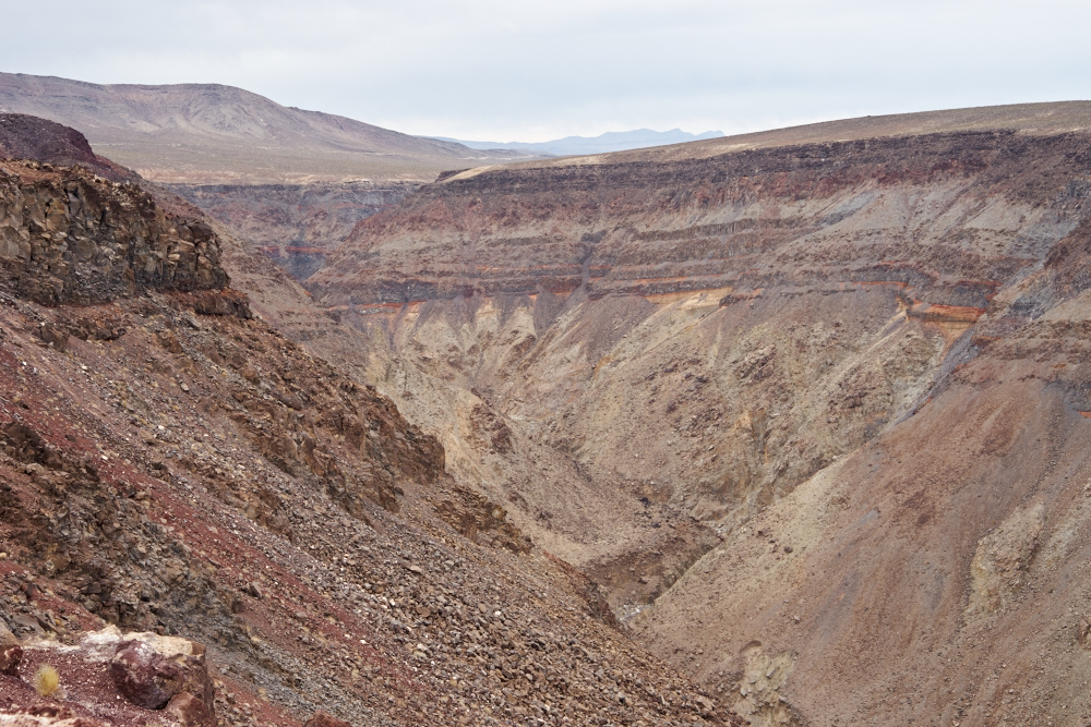
The
bounding canyon was large, steep and treacherous.
We were
on a pizza delivery mission to Bob at Cerro Gordo. But, we
were not aware of how steep the road was. Thor was in low
range and I was still seeing 1200 degrees F on exhaust gas
temperature. Thor was working hard! When we hit a
flat spot, I got out to let the motor cool and got a great view
of the Owens Valley and Sierra Nevada range to our west.
Weather was approaching, so we wanted to get to Cerro Gordo
before it hit. Indeed, it rained later in the afternoon.
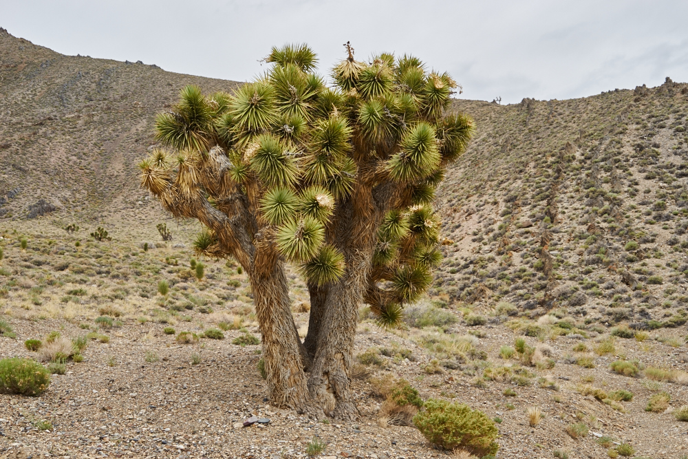
A
particularly large Joshua Tree was next to our stopping
point. Note the upturned bedding on the hillside.
Further
up the grade Kathleen stuck the camera out the window to get
this great shot of the Owens Valley.
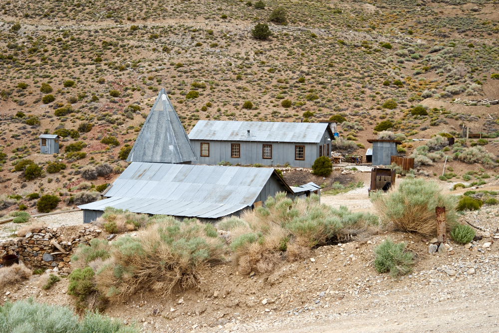
We
finally arrived at the top of the grade at Cerro Gordo Ghost
Town. While some of the structures were dilapidated, many
others were in good shape. Bob, the caretaker, was a busy
guy. Back in the day, Cerro Gordo produced galena (lead)
and silver in large quantities.
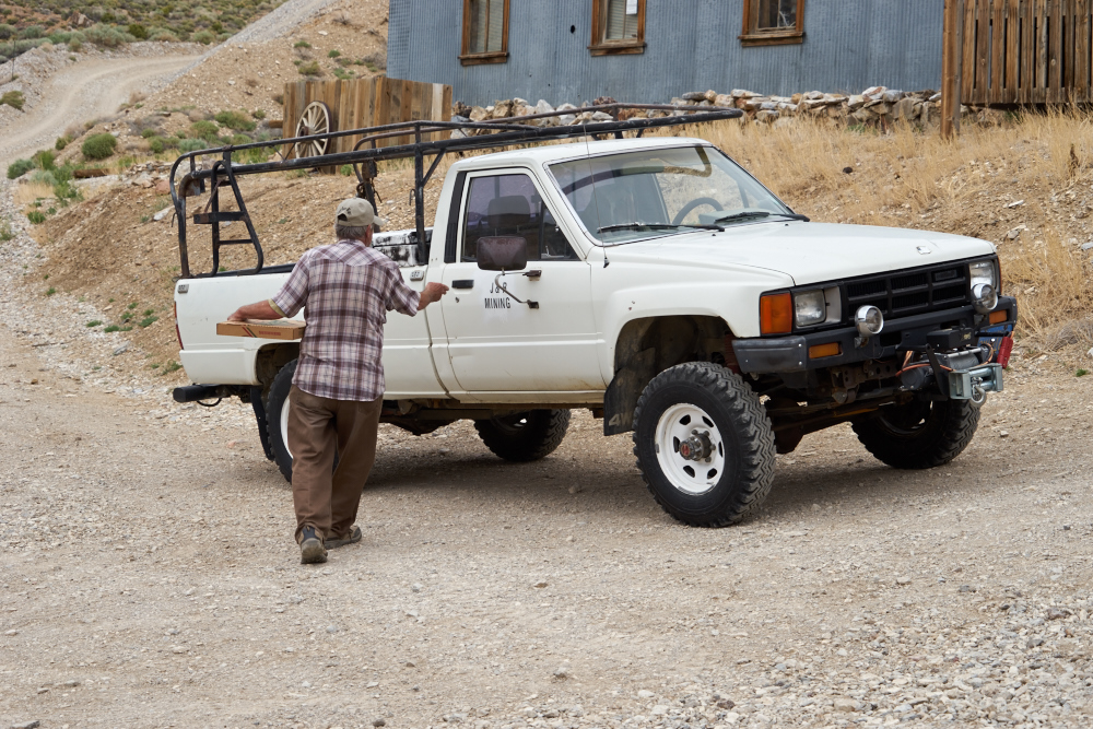
We gave
Bob "something that he wanted and something that he
needed." He wanted the pizza; he needed 20 gallons of
water. Cerro Gordo is a dry camp so all his water must be
hauled in from the valley floor. Ugh. The road to
Cerro Gordo is so steep that Bob had special low gearing
installed in his truck.
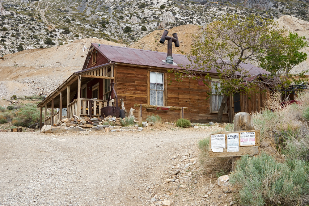
This
house was open, so we went inside. It was a
fully-functional house with electricity and I think Bob said it
belongs to the property owners and they use it from time to
time. It was actually a pretty nice place with a ton of
VCR tapes, a player and a TV as the display.
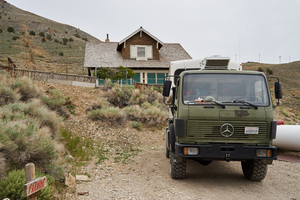
We
parked in a flat area and raised the top to the camper.
The house in the rear was not open. We ended up spending
the night where we stopped.
Bob
sells old artifacts found at the site as part of his "garage
sale" that he uses to fund site restoration.
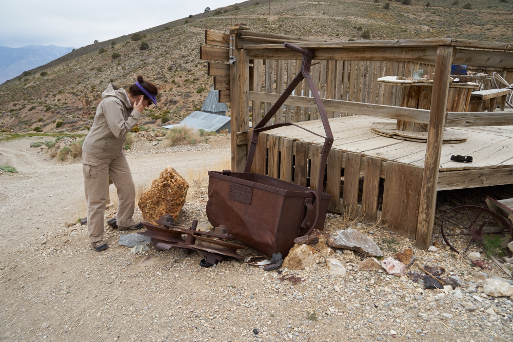
This is
an ore bucket that was part of a cable-way that carried ore to
the valley floor. Note the large pulley at the base of the
bucket.
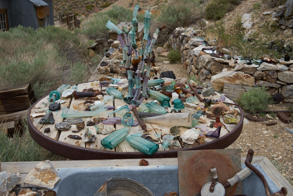
Some of
the artifacts were interesting, some less so.
This was
part of the ore loading station to get the ore into the cable
way for shipment down the mountain. The balance of the
loading station and steel structures were recycled during WWII.
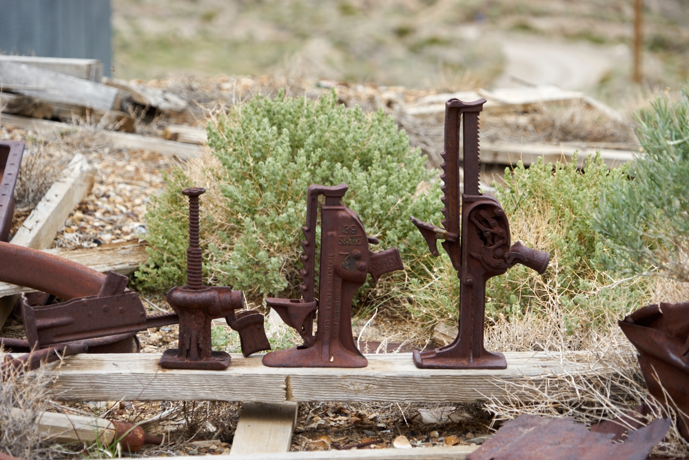
I remember using a jack similar to the center one when I was working underground on the track crew at Magma Copper.
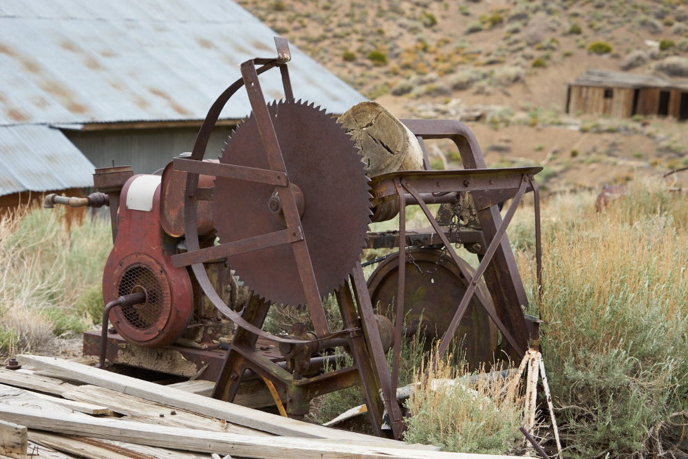
One of the old saws
used to cut mine timbers. Most of the trees on Cerro
Gordo Peak were logged for mine timbers, firewood or building
materials.
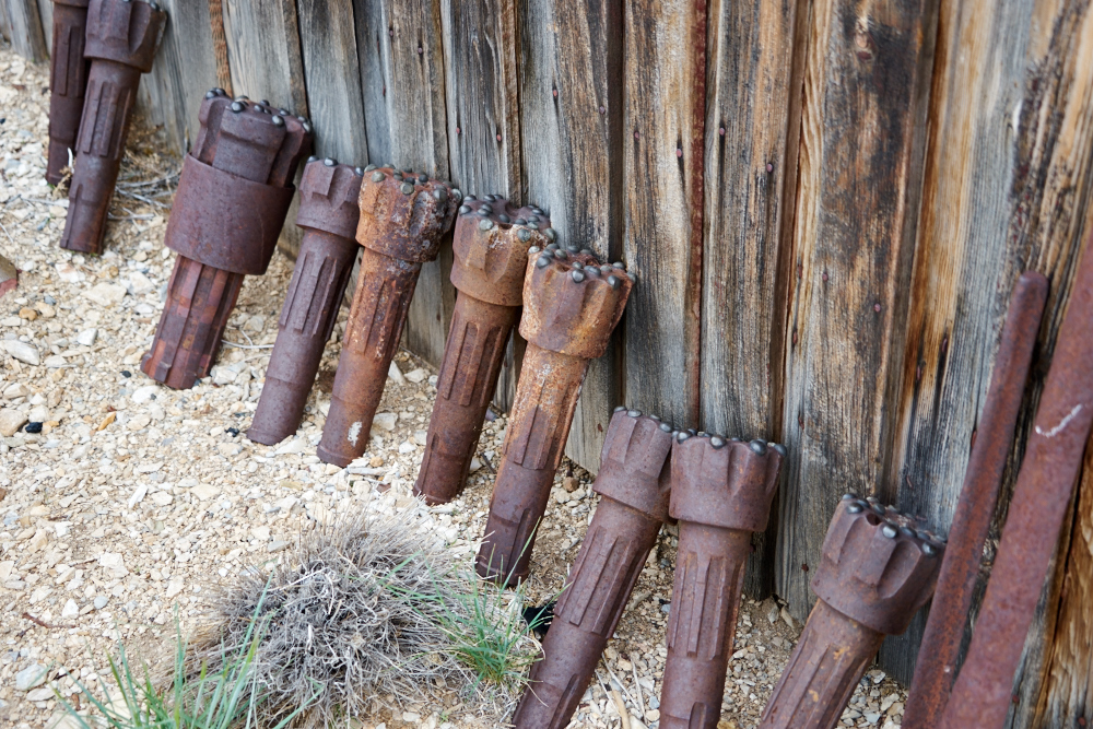
An assortment of old
carbide tipped drill bits.
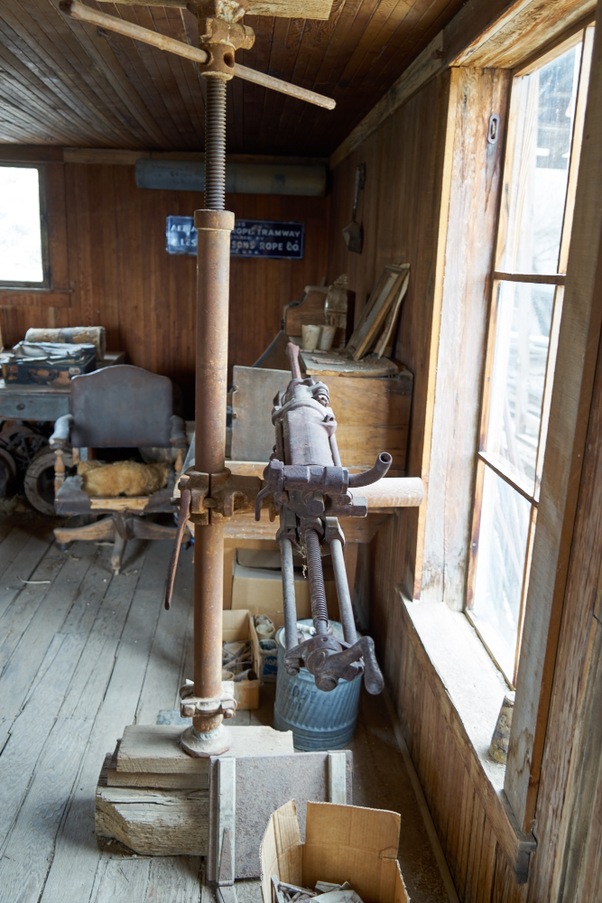
A jack leg drill and
support assembly.
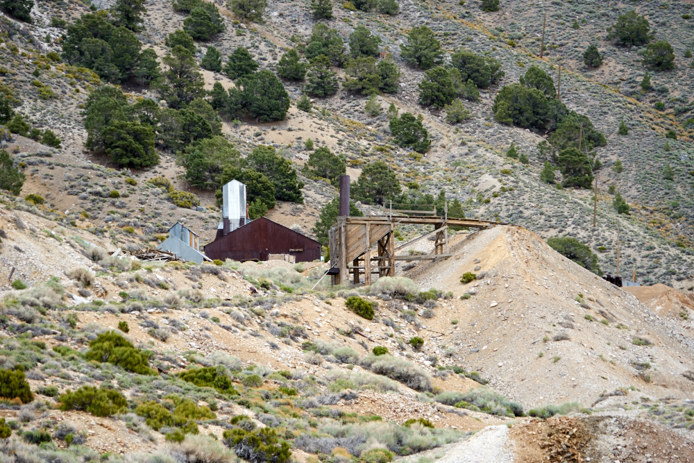
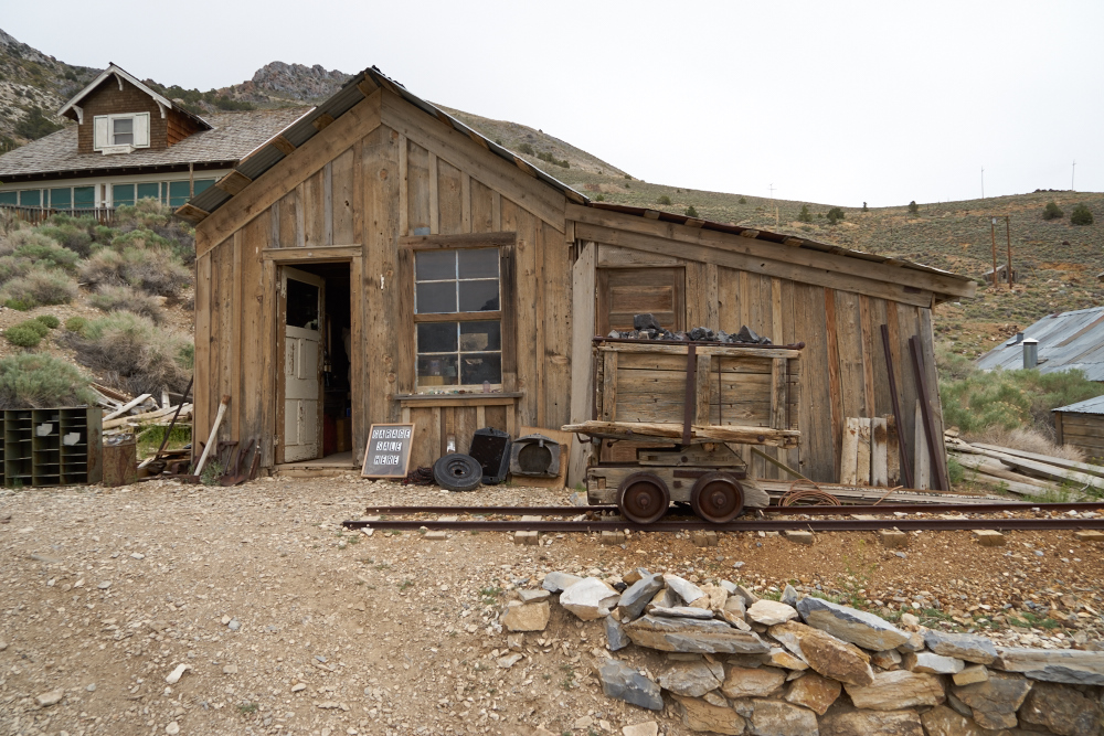
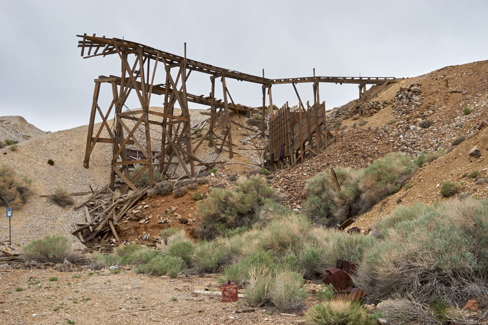
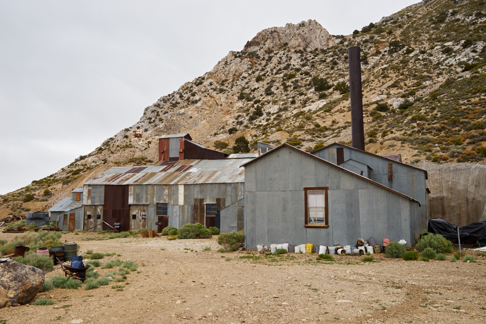
There were many mines
at Cerro Gordo. The building contains the hoist house
and head frame for one of the bigger mines. The
structure in the foreground is part of the ore loading system.
From the saddle at
Cerro Gordo we could see east into Saline Valley. Bob
told us we could do the road BUT the trees would prevent us
from getting through. That's a shame, perhaps we will
come back in from the other direction to see how far we get.
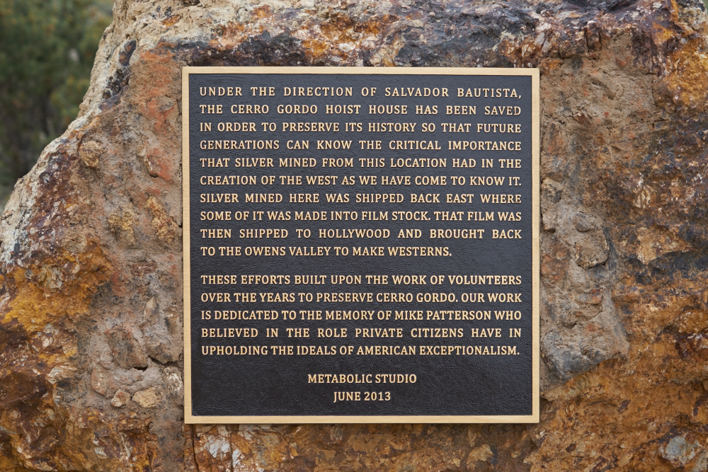
Outside the hoist
house we spotted this plaque on a large rock.
| Previous Adventure | ||
| Trip Home Page |
Photos and Text Copyright Bill Caid 2015, all rights
reserved.
For your enjoyment only, not for commercial use.