The photos below are what we
saw.
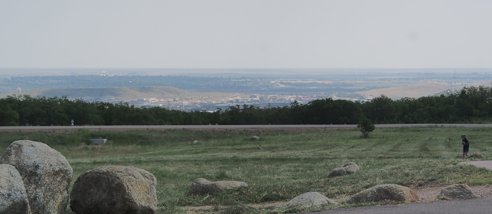
The view from Cheyenne
Mountain State Park was great. We could see most of the
valley to the east of Colorado Spring as well as Fort Carson.
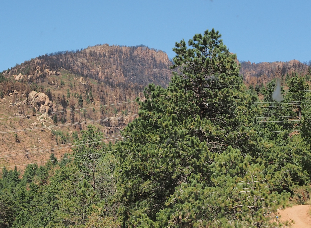
West of Colorado Springs,
US-24 headed into an area that was impacted by the Waldo Canyon
fire. The crest of the mountains were scorched by
the fire. Many homes were lost to the fire.
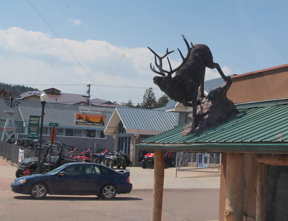
In Woodland Park we spotted
this elk on one of the roofs. The spots are due to dirt on
Thor's windshield.
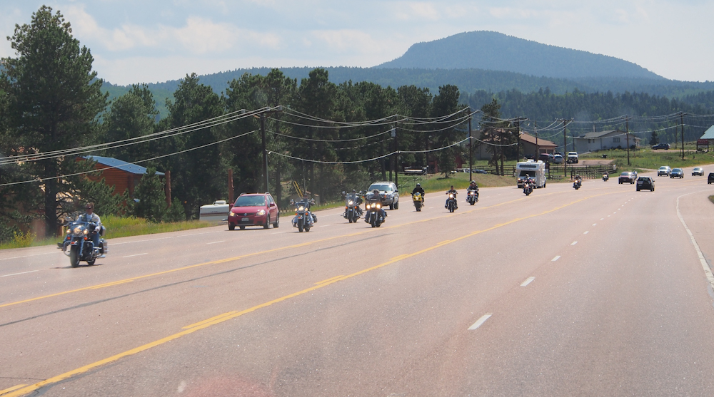
There was a motorcycle rally
whose path crossed ours. We encountered a ton of bikes
en-route to Colorado Springs from the mountains.
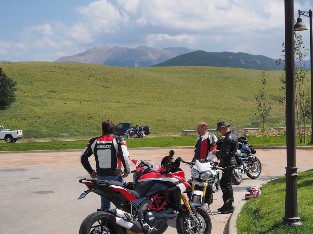
We stopped for a bio-break
just outside of Divide and some of the bikers were there getting
fuel and doing a rest stop.
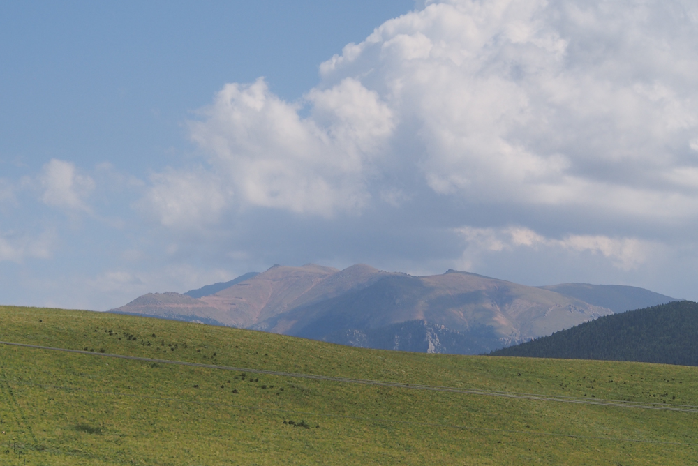
From the fuel stop we had a
clear view of Pike's Peak. The switchbacks of the road
were visible on the face of mountain in the photo above.
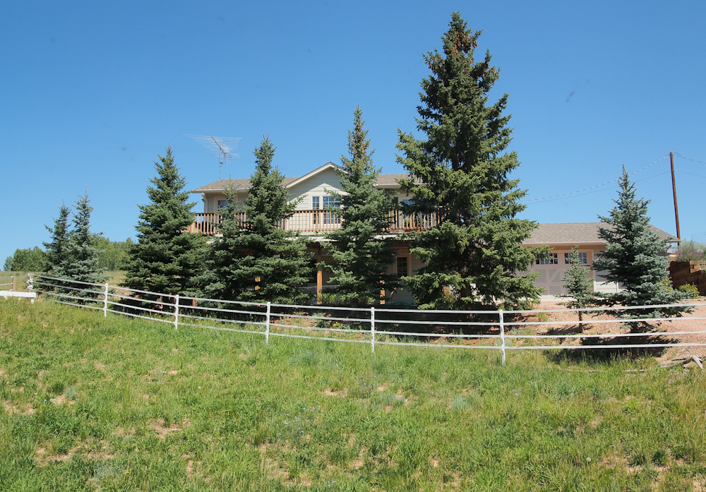
From Divide, we headed north
a short distance to visit our mog friends Kent and Taydie at
their ranch. In retrospect, I cannot believe that I was so
lazy that I shot the photo above through the windshield.
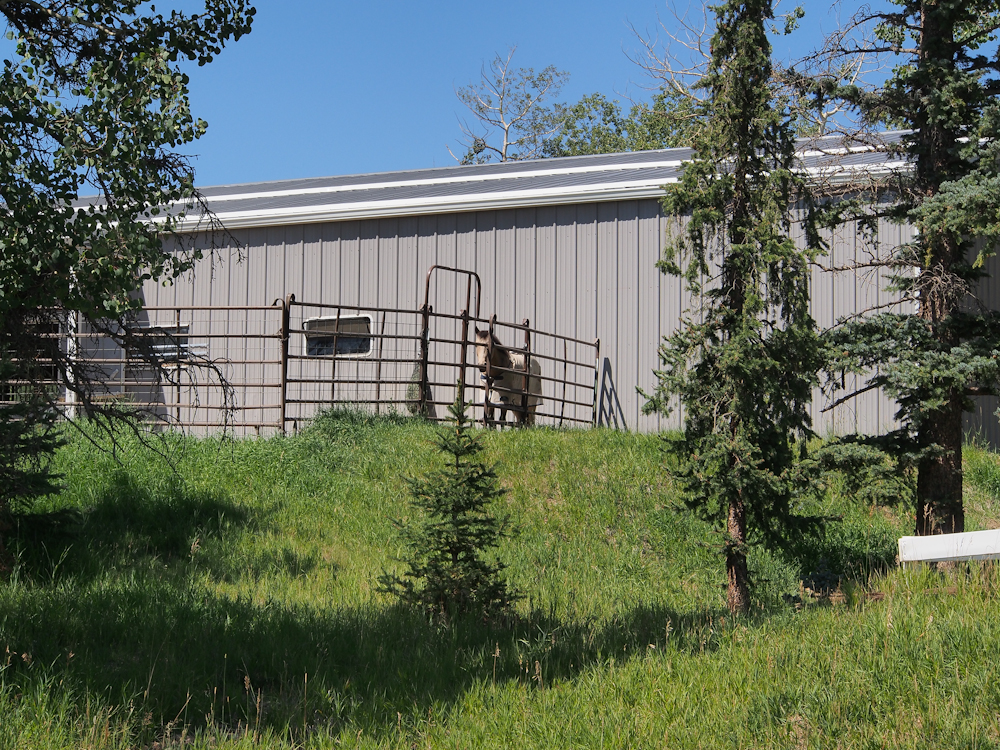
Taydie is a consummate
horsewoman. They have a large barn to help the stock
weather the harsh winters. For this photo, I actually got out of
the truck.
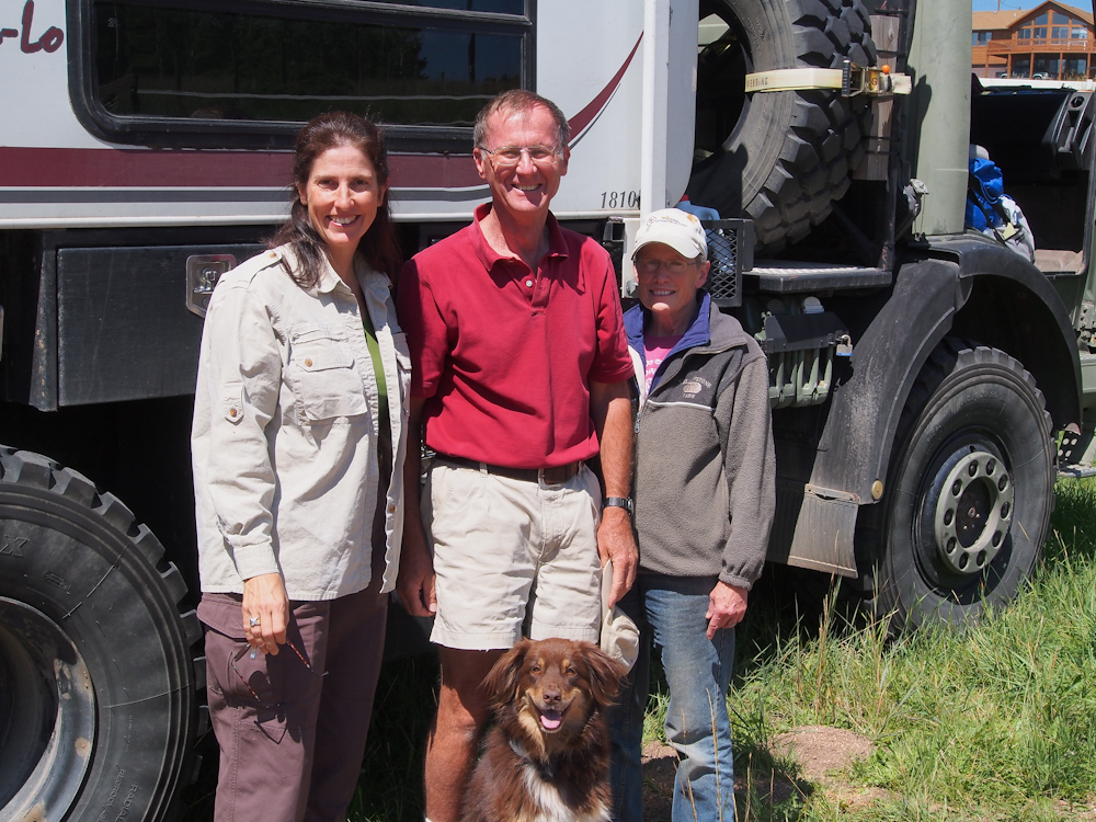
Kathleen, Kent, Taydie and
Happy.
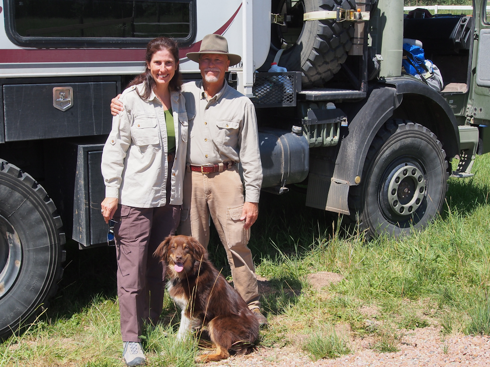
Happy the Australian Shepard
was a great dog.
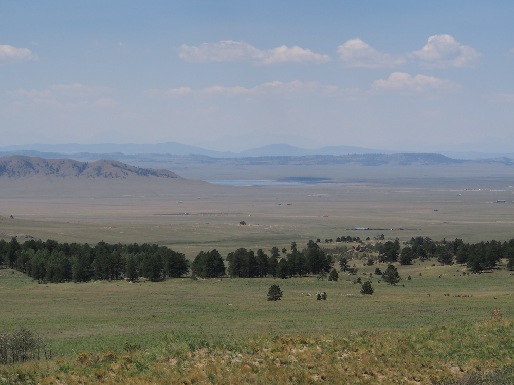
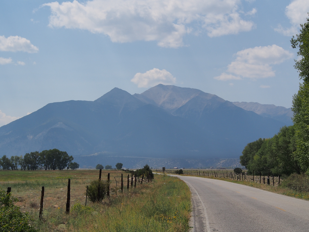
We continued heading west on
US-24 and at one of the passes we got a great view of the valley
to the west. Some of the peaks on the far horizon are over
14,000.
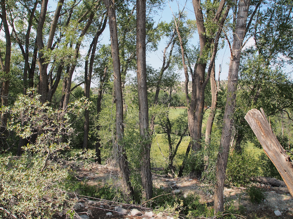
We headed south from Buena
Vista and then west toward Mount Princeton. At a roadside
stop we could see the dense growth near the irrigation canal.
The canal looks
insignificant, but in the west where water is in chronically
short supply, irrigation is critical to farming. All of
the fields serviced by this canal are critically dependent on
the water it provides.
Mount Princeton, one of
Colorado's "fourteeners" (over 14,000 feet in elevation) was
visible from our roadside stop.
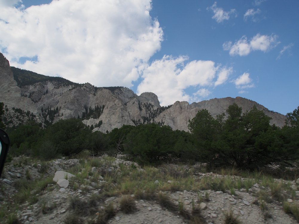
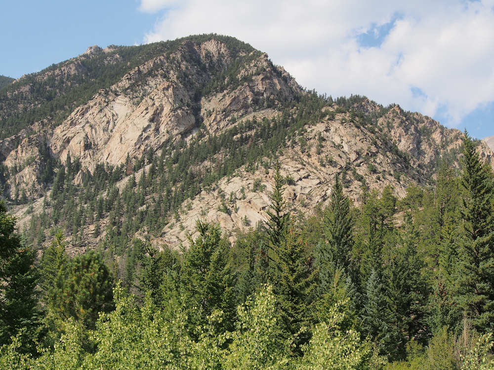
The north flanks of Mt.
Princeton were large cliffs referred to by the locals as the
"Silver Cliffs". Kathleen took the photo above while we
were rolling as a test of the camera's image stabilization.
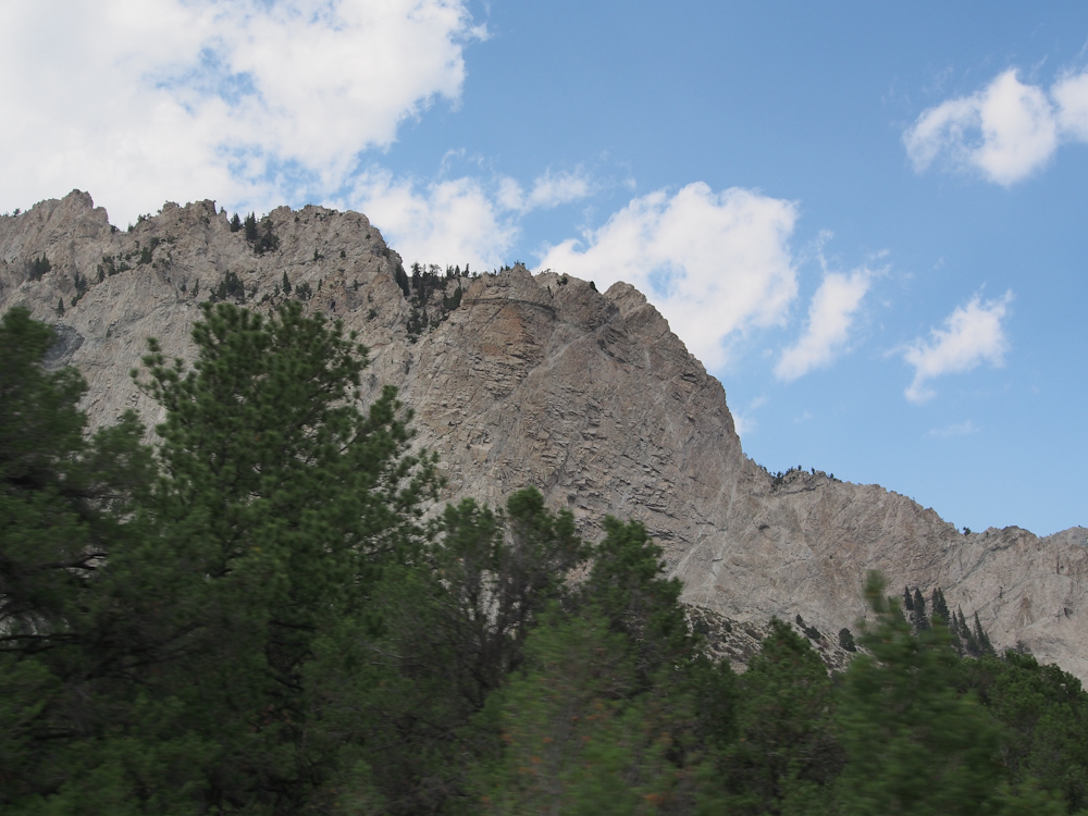
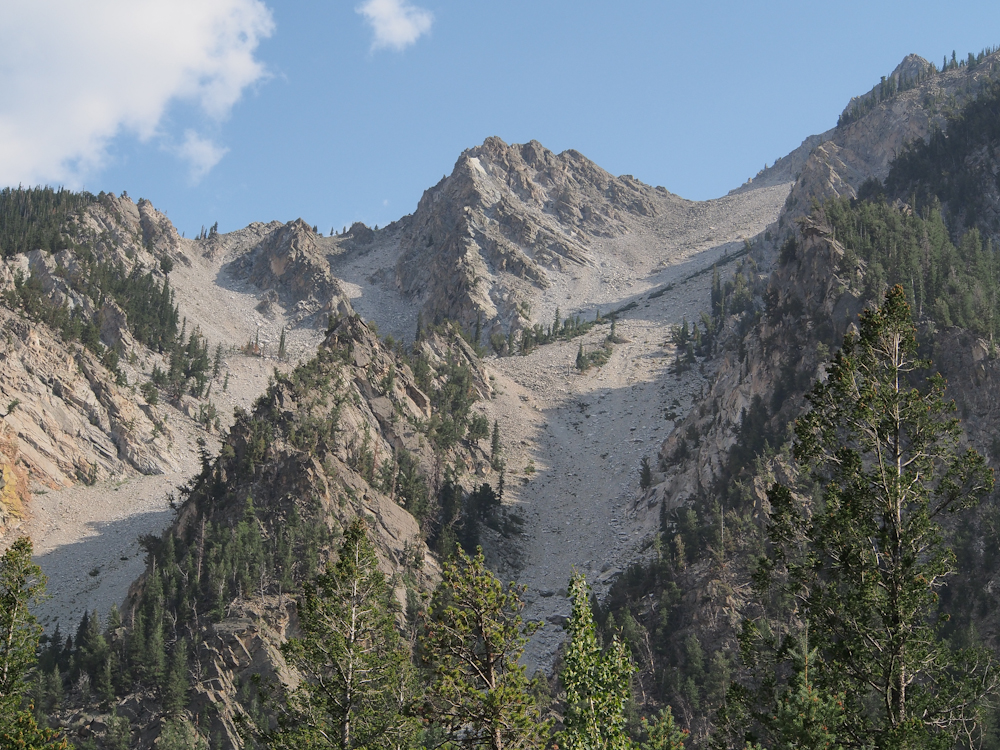
Silver Cliffs had
near-vertical walls rising perhaps 2,000 feet above the valley
floor. This photo was also shot while we were
rolling. Note the motion blur on the trees, but the image
stabilization correctly handled the cliffs which were the focus
point for the camera.
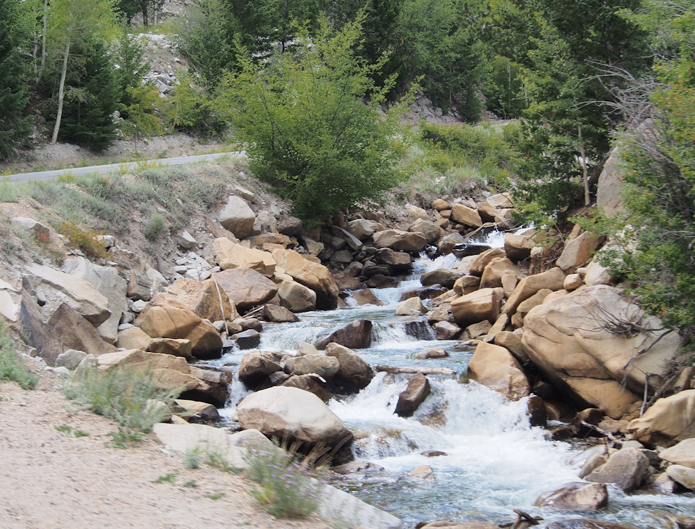
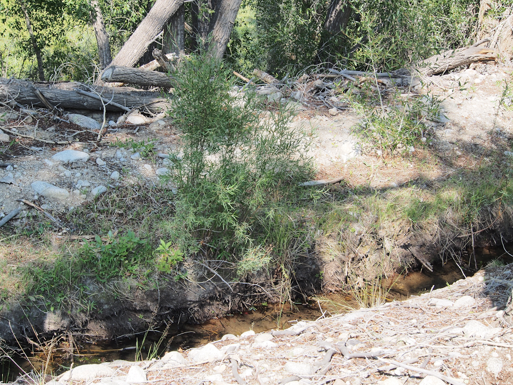
In the bottom of the canyon
was a small creek that had a nice set of small cascades visible
from the road.
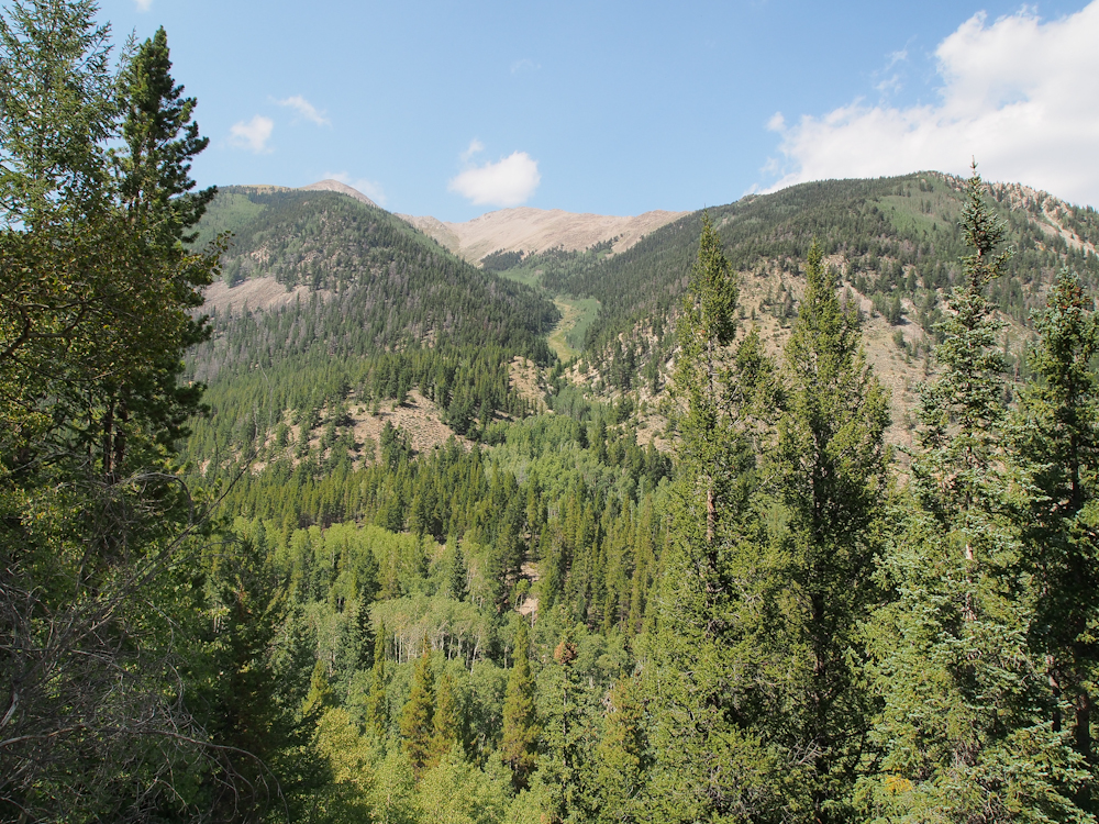
The Silver Cliffs finally
gave way to the main ridge on the south side of Mt.
Princeton. The upper reaches of the ridge were above
timberline.
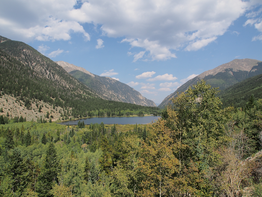
Further up the road we
stopped for some photos and saw that we had passed a good sized
lake in the valley. The dense brush along the road
prevented us from seeing the lake. The ridges on both the
north and south sides of the canyon were above timberline.
This photo was taken from far enough up the canyon that the
Silver Cliffs were no longer visible.
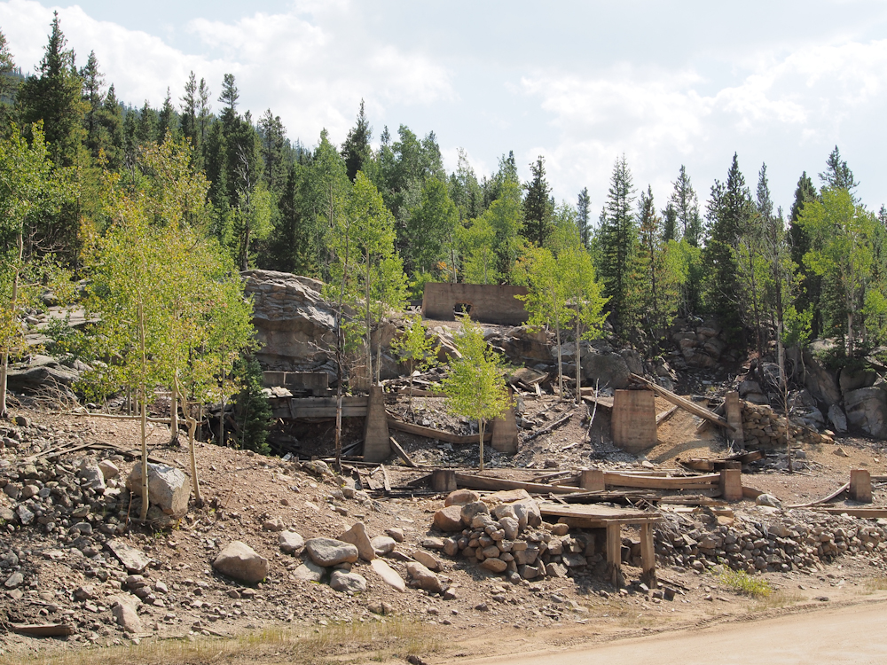
Further up the canyon we hit
the ruins of Iron City, CO. These concrete foundations are
all that are left of a once-thriving mining area. We
investigated the camp sites at Iron City and found them
unacceptable. So, we headed back down the canyon to
Cascade camp.
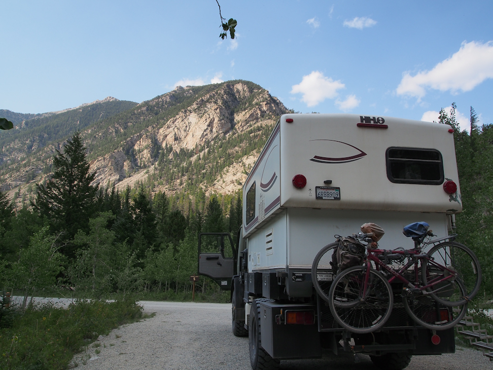
Cascade camp was mostly
empty so we got our choice of sites. From our site, we had
a clear view of the north cliff faces.
To the south of our site,
the canyon walls were very steep and eroded by multiple
avalanches.
Our site had an unobstructed
view of the cliffs.
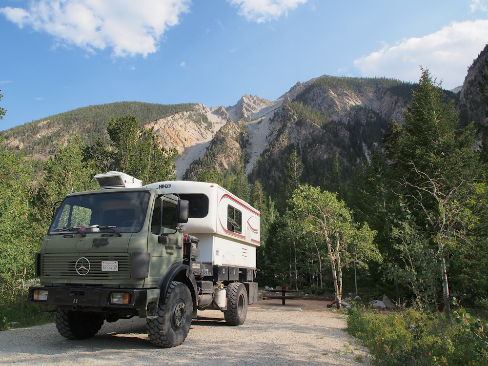
After the bird was removed,
I got a photo of the camper looking south.
| Previous Adventure | ||
Photos and Text
Copyright Bill Caid 2012, all rights reserved.
For your enjoyment only, not for commercial use.