The photos below are what we
saw.
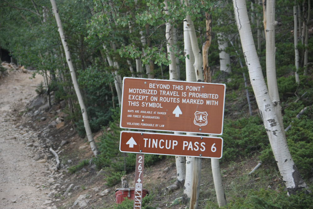
Tincup Pass was only 6 miles
away but almost 4,000 feet higher than this sign. Six
miles took us over an hour; the trail was very rocky and rutted.
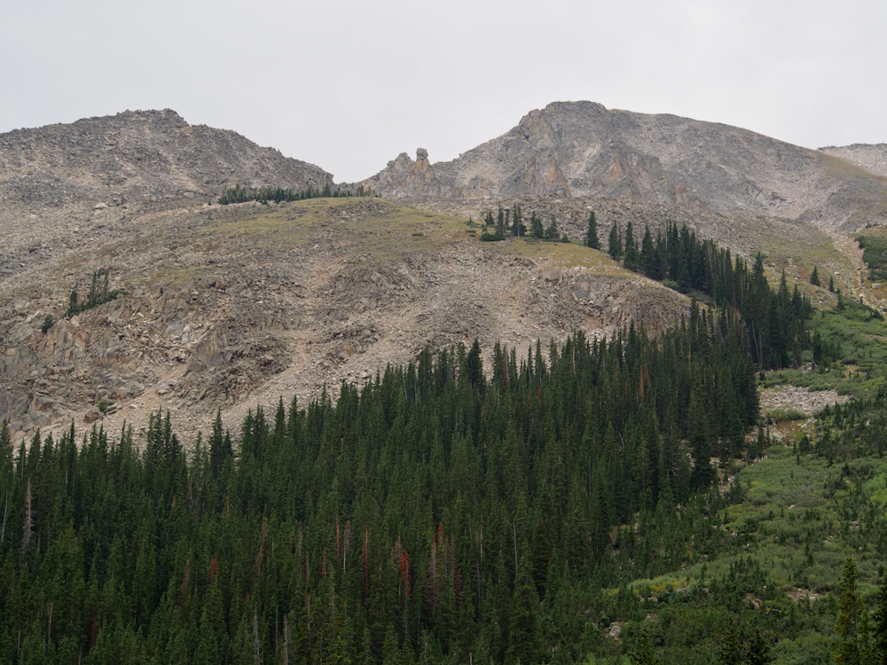
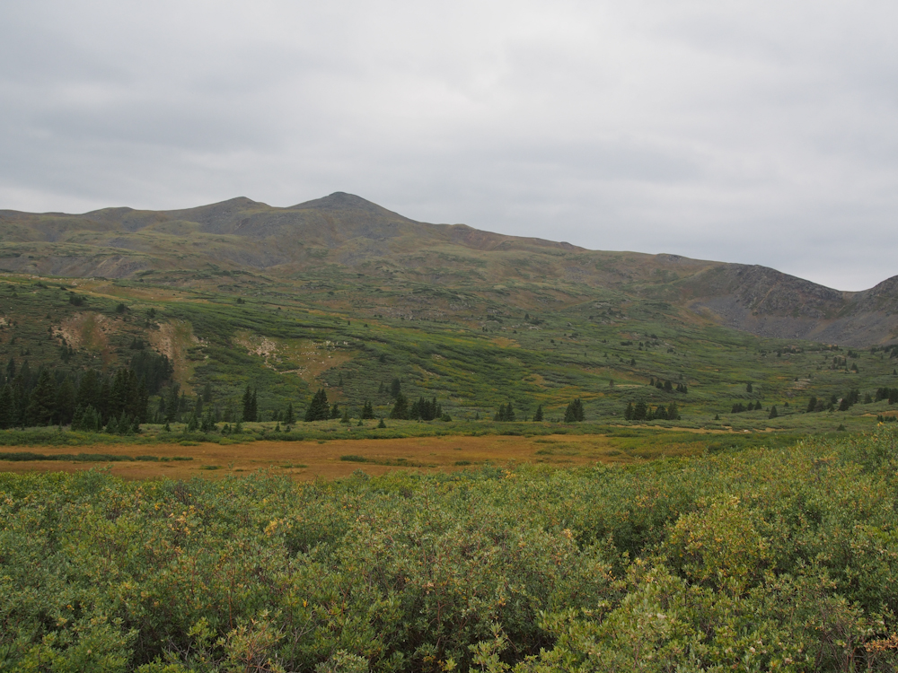
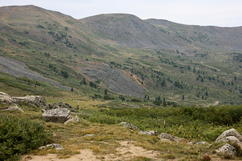
The approach to Tincup Pass
gave us great views of the surrounding ridges, all of which were
above timberline.
The high ridges were rocky,
rough and steep.
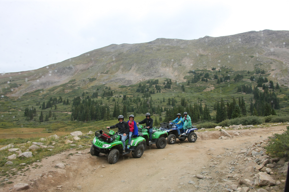
We passed many, many quads
and UTVs loaded with folks. Tincup Pass is a favorite with
this crowd. It was drizzling one our entire ascent of the
pass (and on the descent for that matter); note the ad hoc rain
wear of the gal on the last quad.
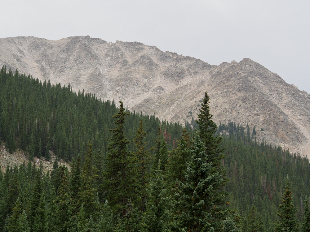
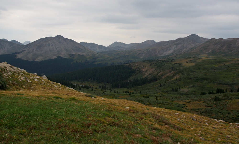
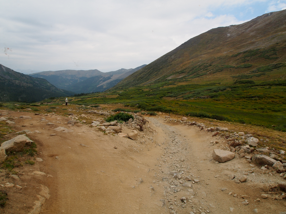
The approach to the pass
offered a great view of the high meadows above timberline.
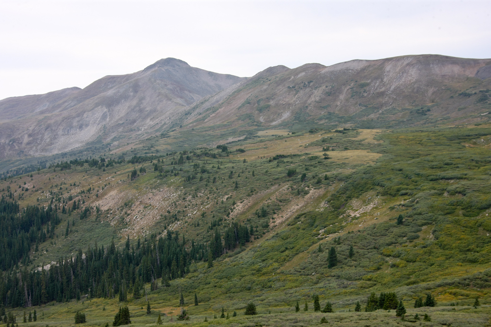
The ridges were steep and
rugged. It is almost unimaginable to think about going
through this pass before the road. But, it was done by the
prospectors looking for gold and silver in the mountains beyond.
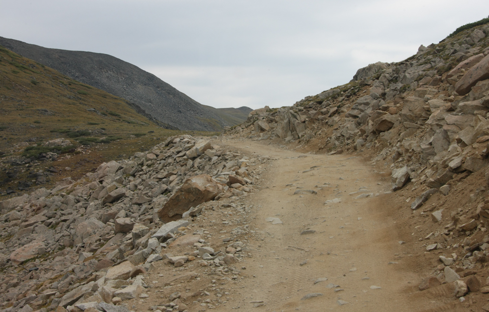
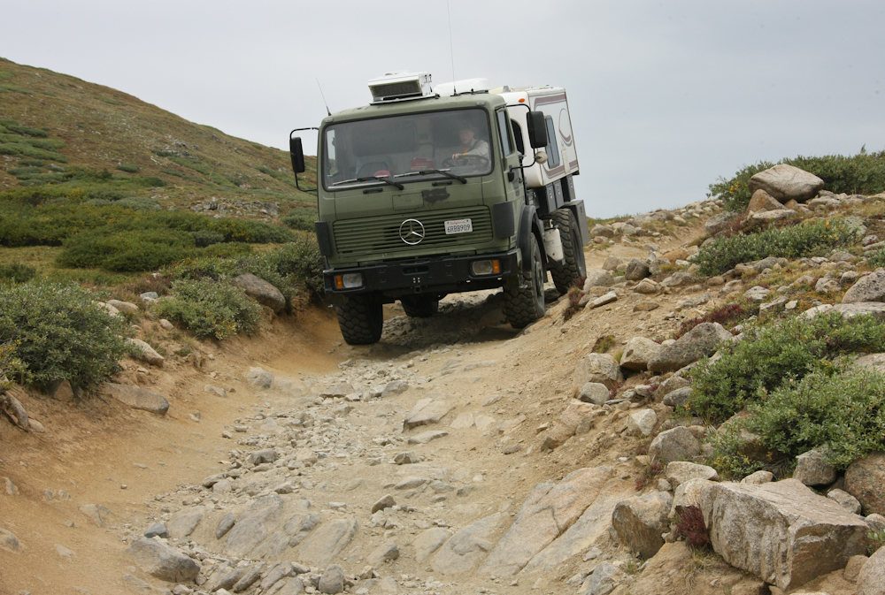
Near the pass the trail got
narrow enough to require careful driving. Not visible is
the cliff to the left of the photo. Thor fit easily but
paranoia was still rampant.
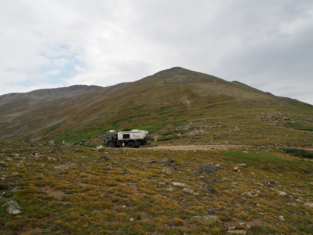
The crest of the pass was
flat and allowed us to get out and look around.
To the southwest the view
was unobstructed by trees.
Down the valley to the west
the distant peaks were visible.
Tincup Pass is on the
continental divide and the a portion of the trail that follows
the divide can be seen on the far hillside.
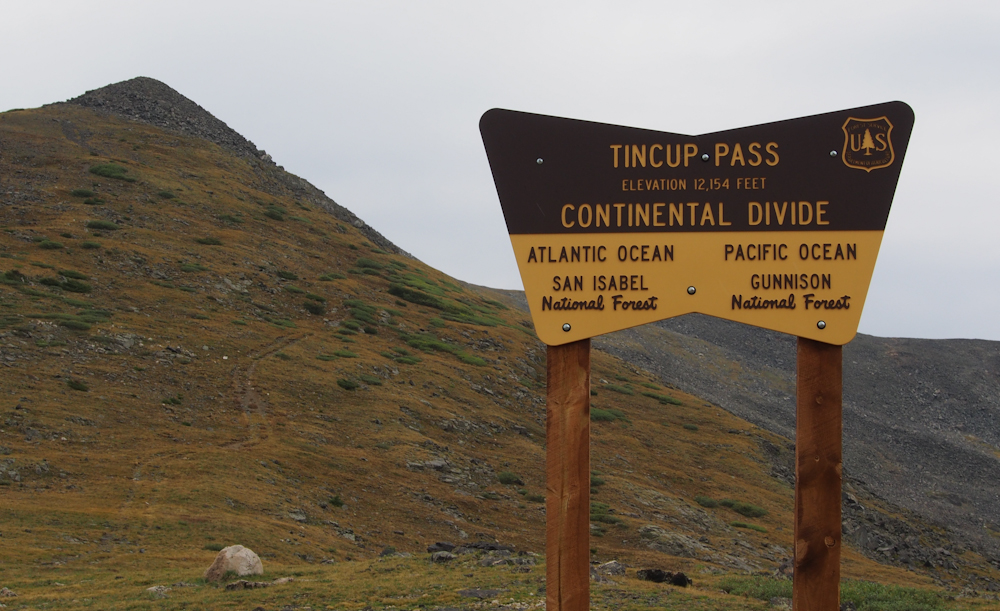
The sign tells the whole
story. It also appears that somebody attempted to take a
quad to the south along the face of the slope.
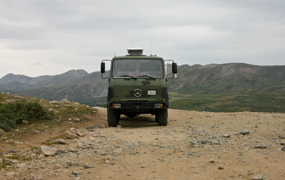
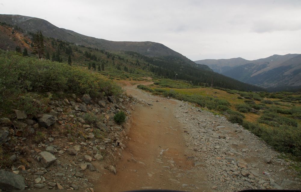
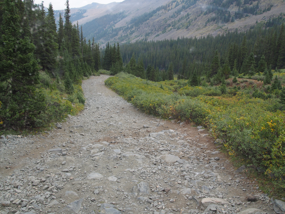
The west side of the pass
was much, much rougher than the eastern approach. On the
eastern approach, we were going about 5 mph. On the
western descent 2 mph max was the norm, usually much less.
Kathleen walked ahead to
"scout the route" to insure that we were not going to get Thor
into something that would be irreversible.
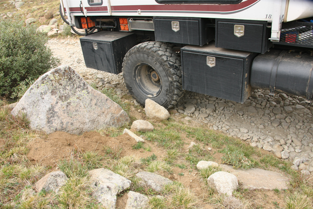
Scouting was a good idea
because there were a number of points in the trail where careful
wheel placement was required to prevent a ruptured
sidewall. We barely fit through this section without some
"trail engineering".
Thor's width insured that at
least 2 wheels were in the cobbles and boulders making for a
very rough, slow ride.
The good news in the western
descent was that we did not meet oncoming traffic and the trail
was wide. The bad news was that the cobbles and boulders
continued all the way down to Mirror Lake near Tincup.
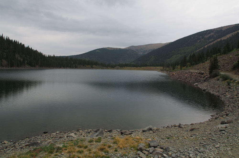
Mirror Lake was interesting,
but it was drizzling and cold. We continued down the
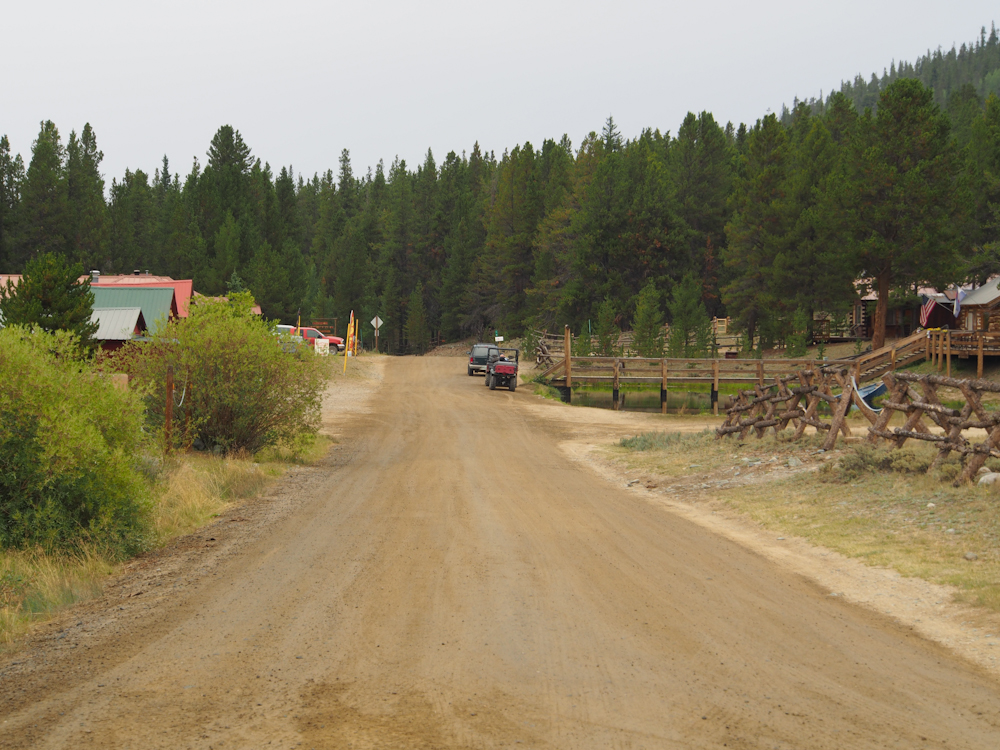
canyon to the village of Tincup.
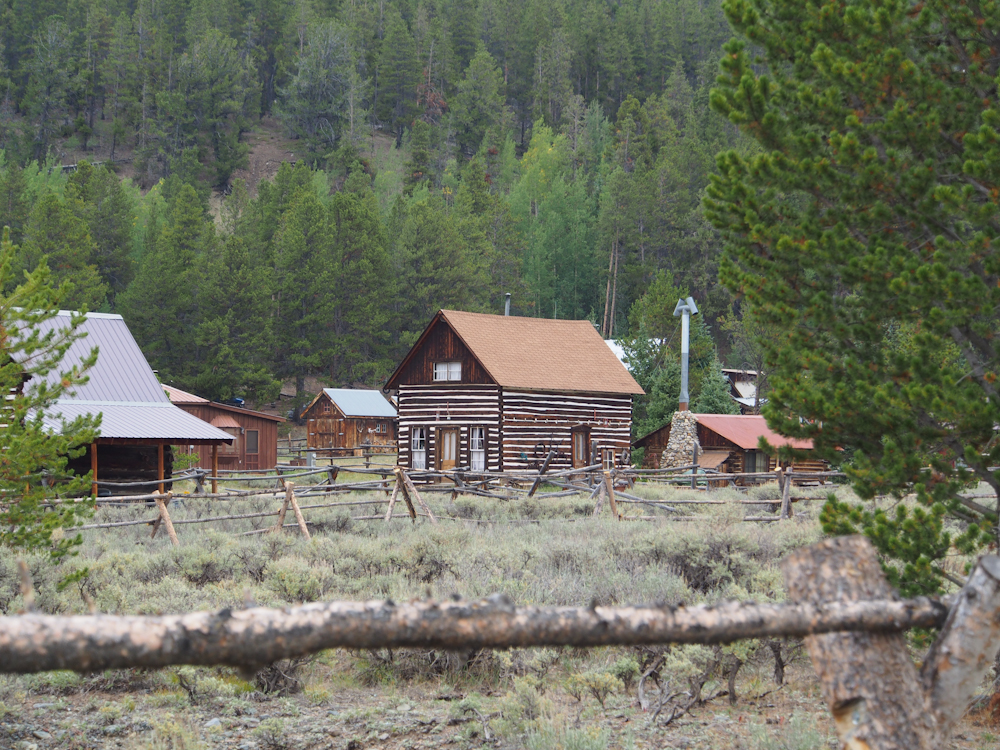
There was not much in Tincup
up but a few old cabins. Note the concrete/plaster
chinking on the log cabin above.
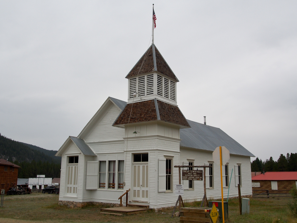
Tincup did have a town
hall/church. The sign says "Built 1903. Elevation 10160.
Sorry, dances have ended for the season".
Main Street, Tincup, CO.
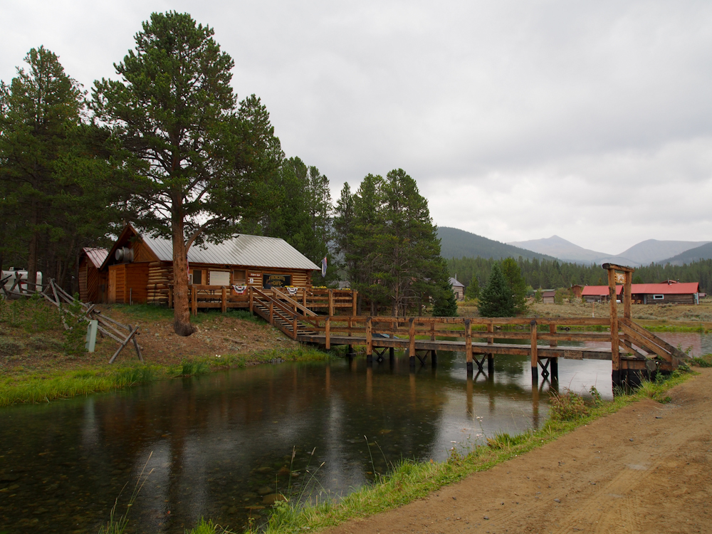
We stopped at Tincup's one
cafe which is across the bridge. The food was actually
quite acceptable, albeit pricey.
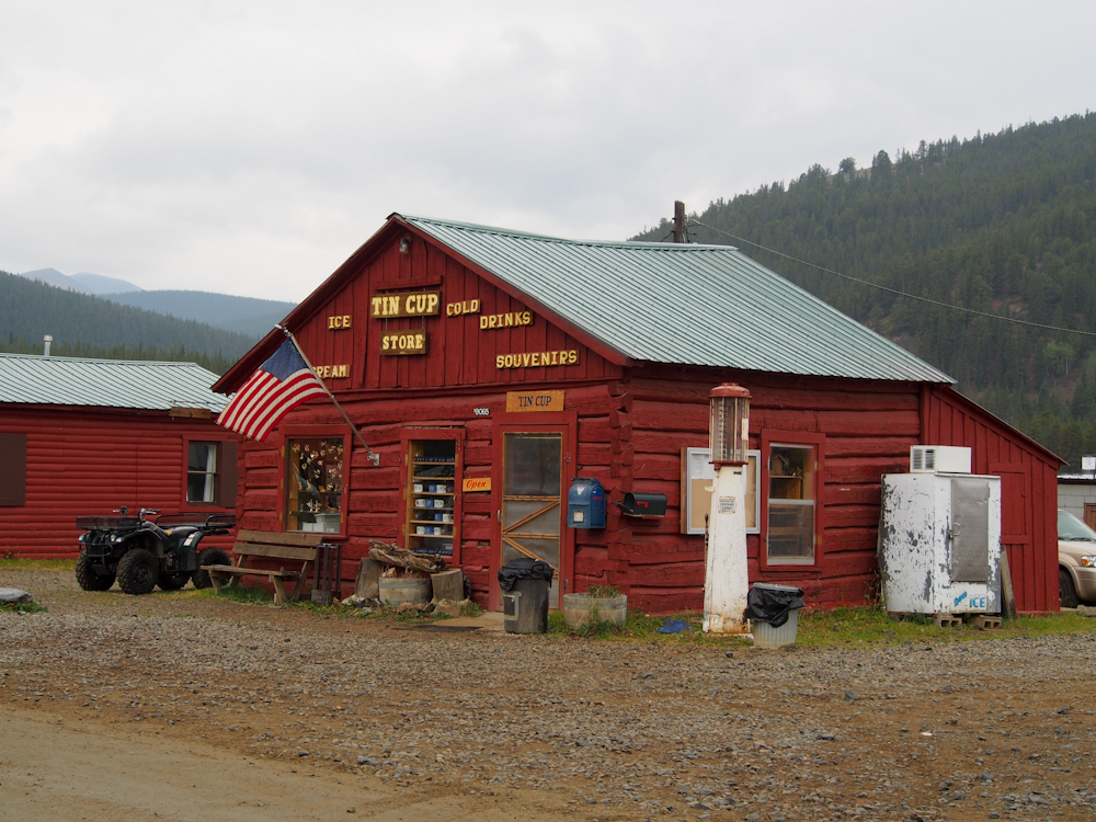
The Tincup store had the
"usual stuff" and occupied an honest-to-goodness hand-made log
cabin.


We passed the dam at Taylor
Park Reservoir and got a nice view of the spillway in operation.
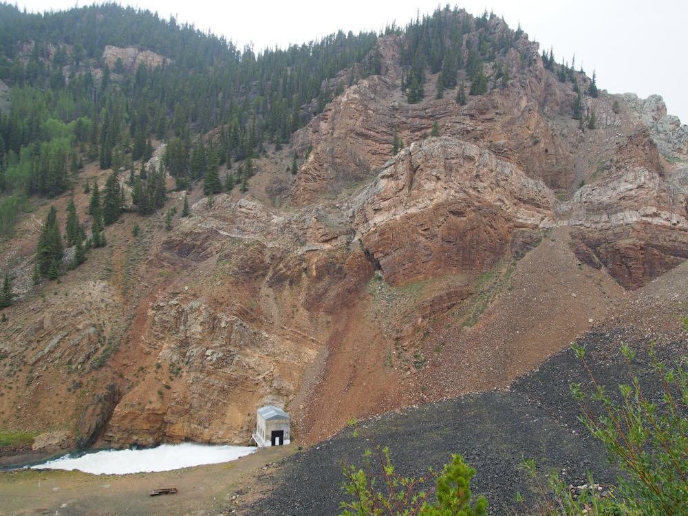
The
dam and spillway were put in a narrow canyon in the cliffs.
Note the folding in the rock strata.
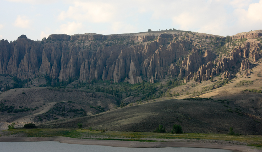
We
traveled south to Gunnison, CO for a supply stop. From
Gunnison, we headed west to Blue Mesa Reservoir. On the
opposite side of the reservoir we could see large, fluted cliffs.
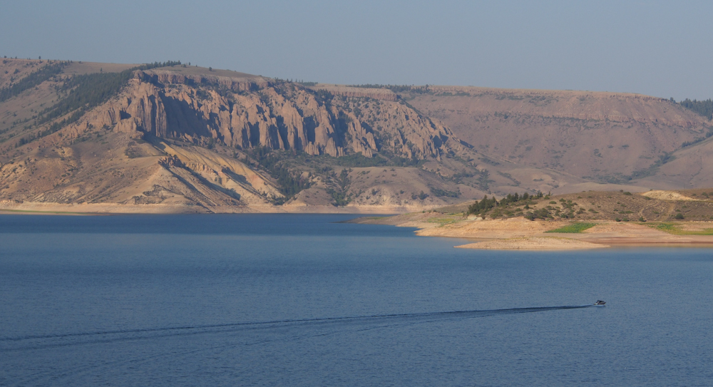
As the sun was going down,
we got a nice view of Blue Mesa Reservoir and the cliffs on the
north side from our campsite on the cliffs..
| Previous Adventure | ||
Photos and Text
Copyright Bill Caid 2012, all rights reserved.
For your enjoyment only, not for commercial use.