The photos below are what we saw.
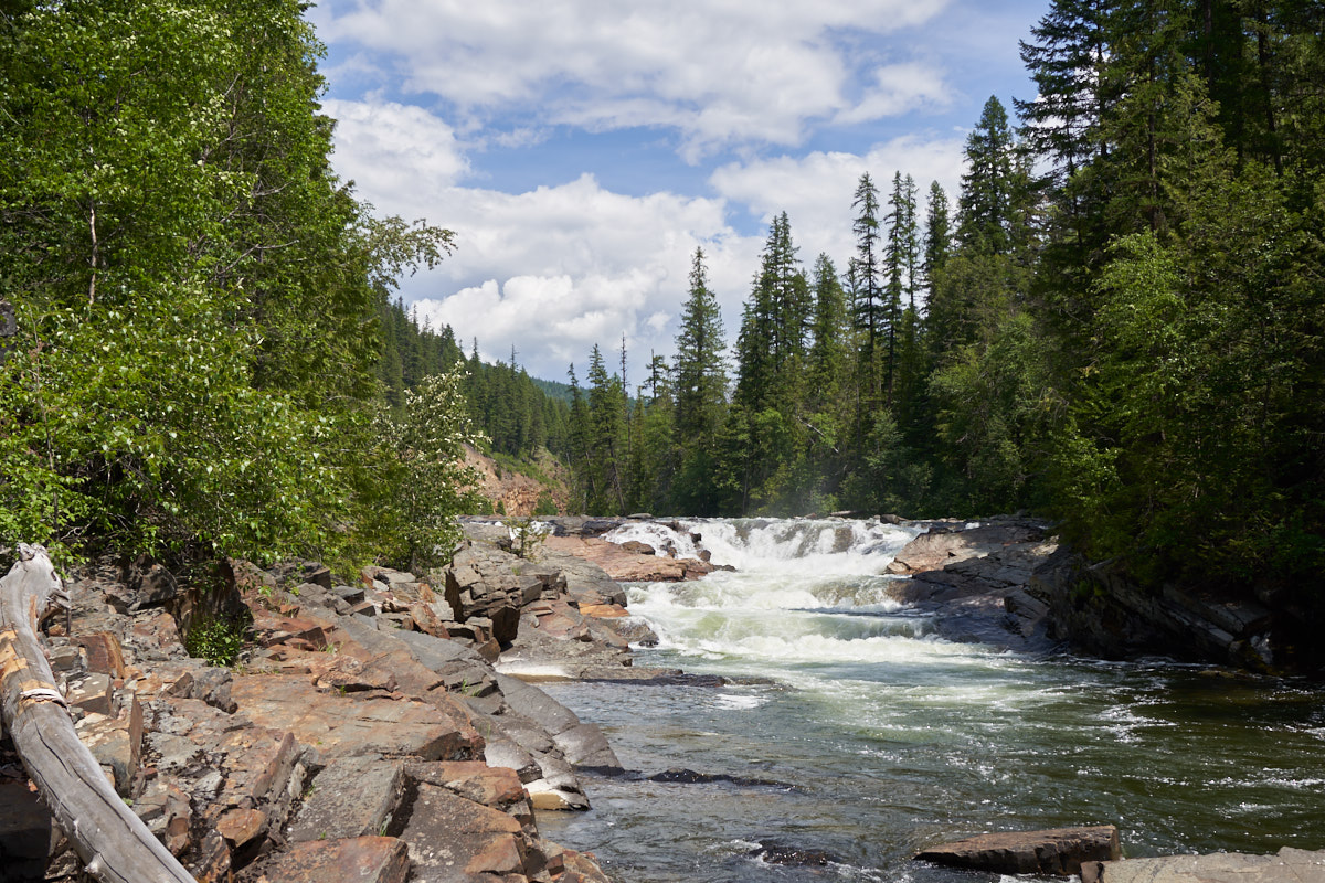
We saw a
sign for Yaak River Falls and decided to check it out.
There were several segments to the falls, this is the upper one.
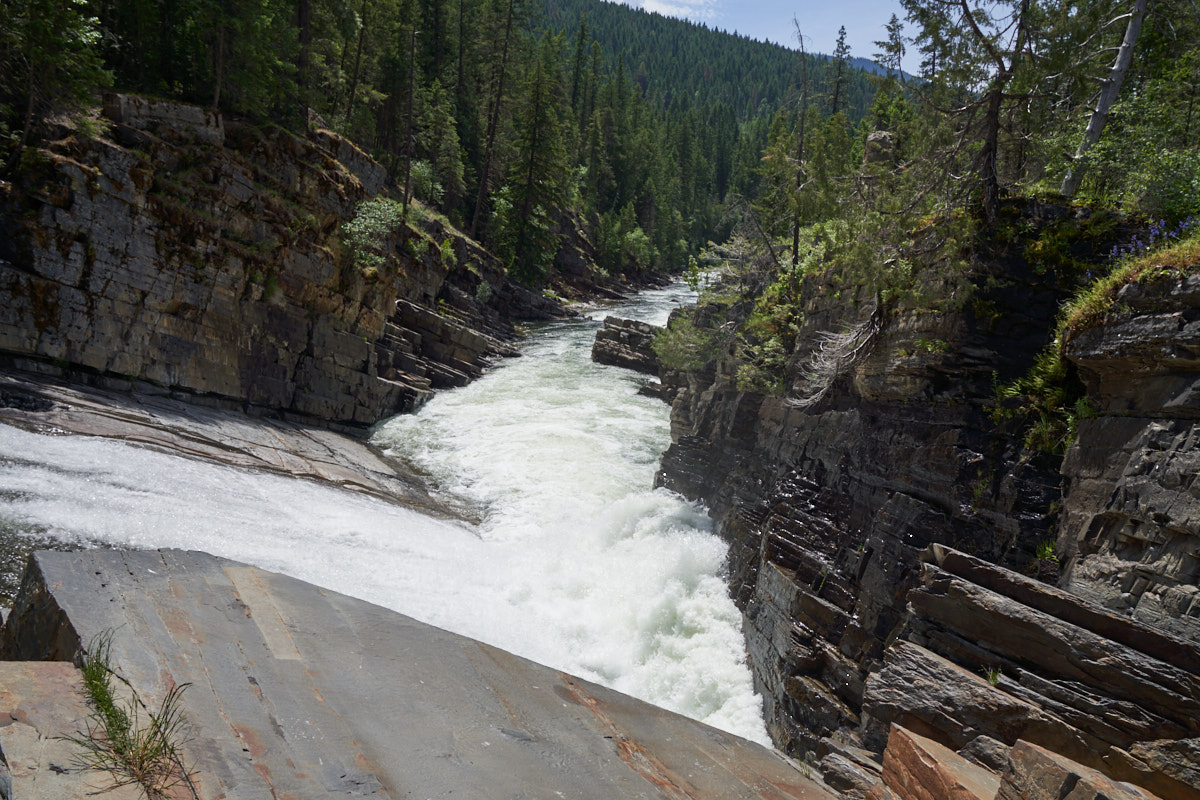
The
lower segment of the falls ended in a slide and an abrupt cliff.
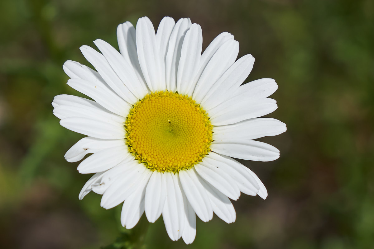
I
spotted this nice flower in a field. Note the pattern of
the buds are in nested logarithmic spirals
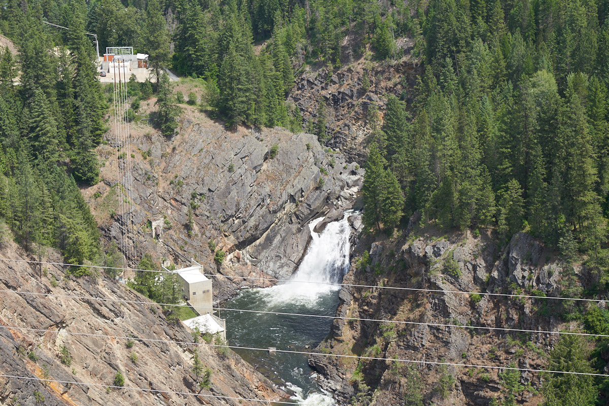
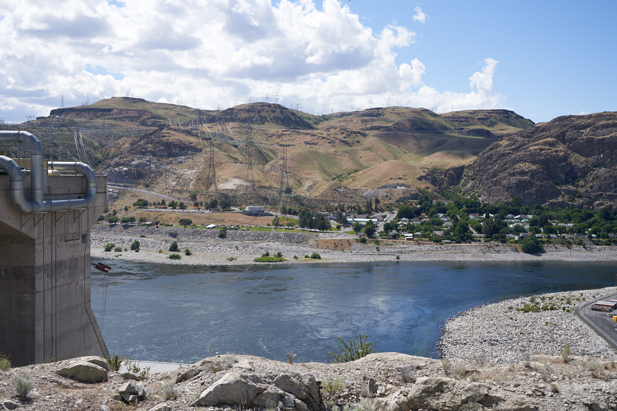
The
highway passed over a gorge and Kathleen got this shot of a
power plant built into a cliff.
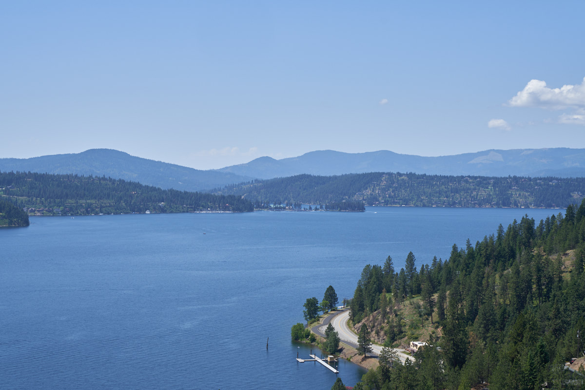
Our
first view of Coeur d' Alene lake. Our plan was to meet
the two other trucks at a campground near CDA and then
eventually head toward the Northwest Overland Rally site in
Plain, WA.
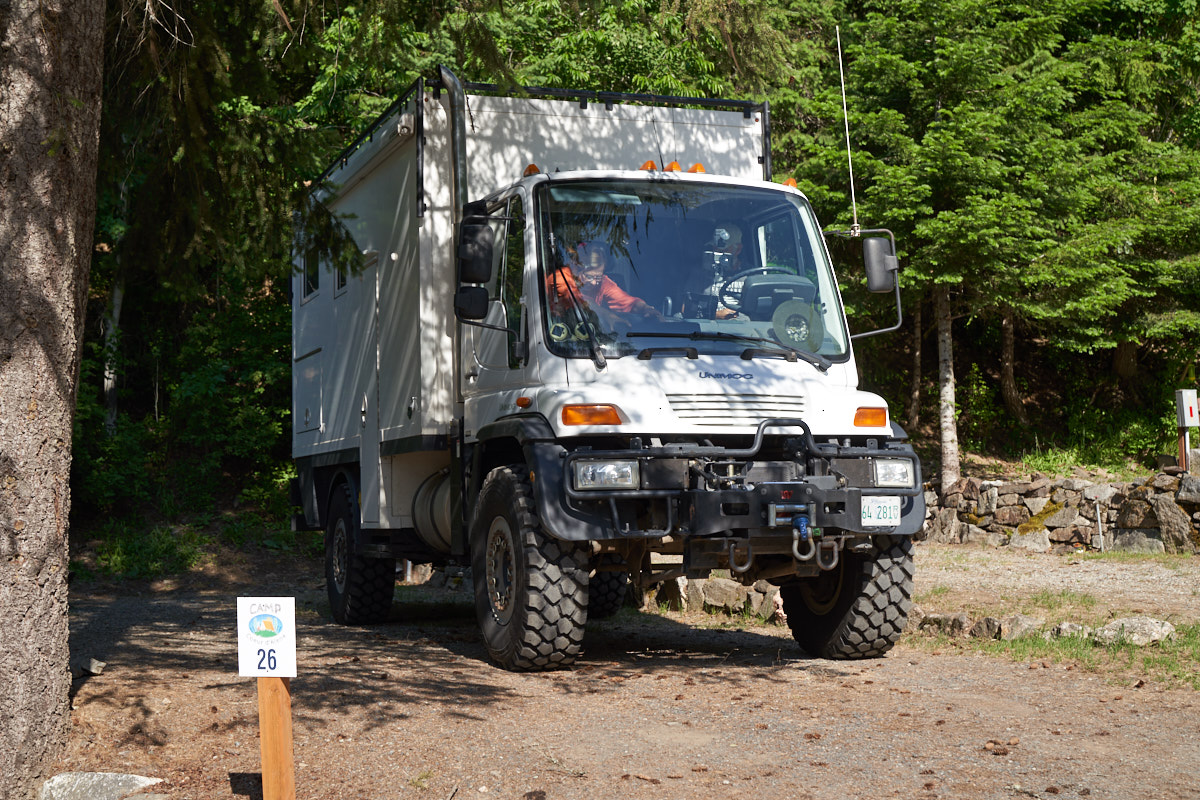
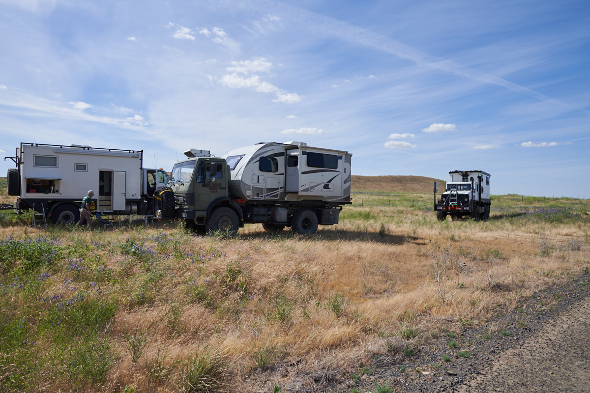
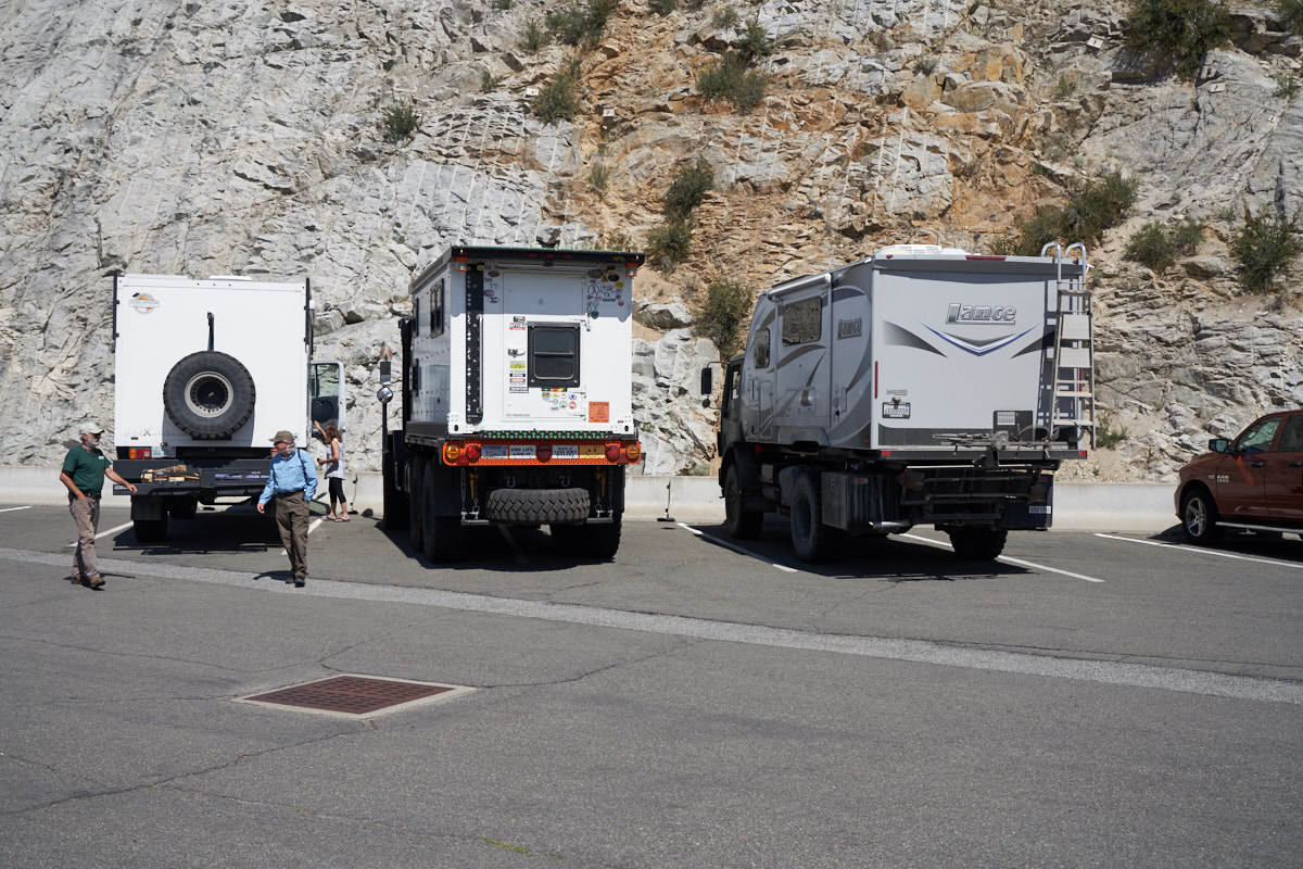
We had
been in text contact with our traveling partners and they showed
up at the campsite right on time. Above, is Mark and
Gail's U500 with GXV living quarters.
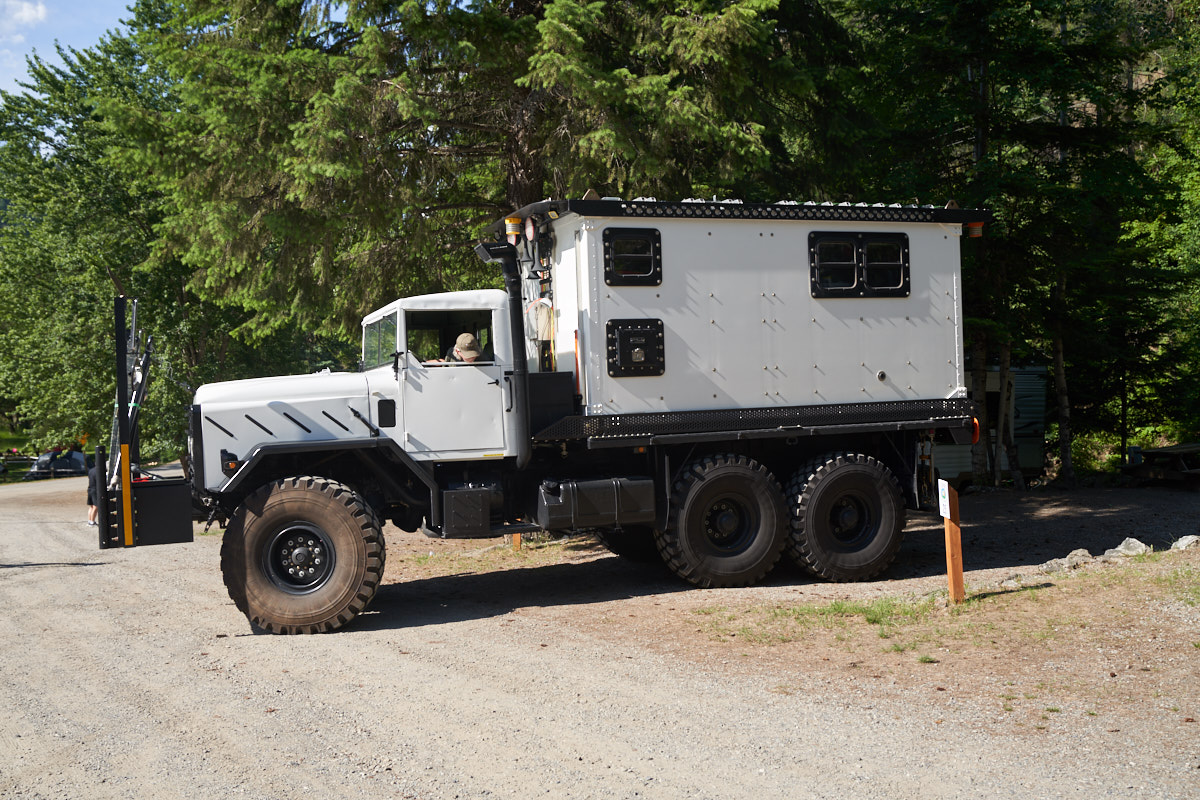
Vince
moved his living quarters to his ex-mil 5-ton truck and drove
that from Dallas.
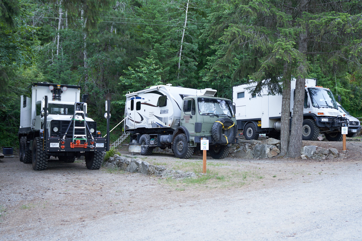
We were
lucky enough to get 3 adjacent campsites.
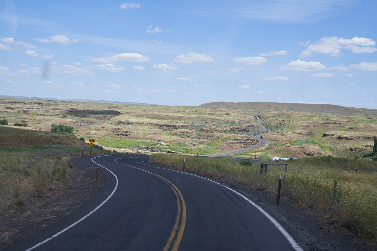
We drove
south and west into Washington state through the Palouse scab
lands. This area was heavily eroded during glacial floods
leaving many canyons and cliffs.

The
exposed basalt cliffs made travel in this area difficult.
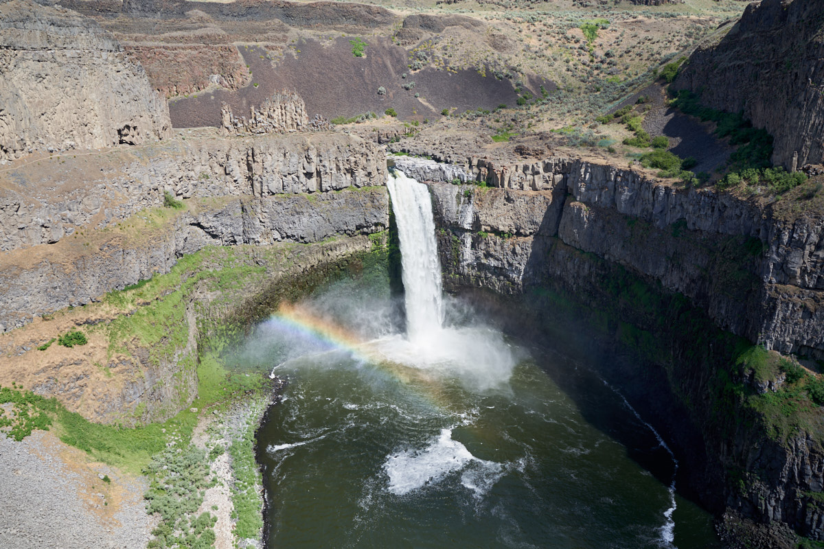
Our
destination for the day was Palouse Falls on Palouse
Creek. The large spring runoff created a spectacular sight
complete with mid-day rainbows in the mist.
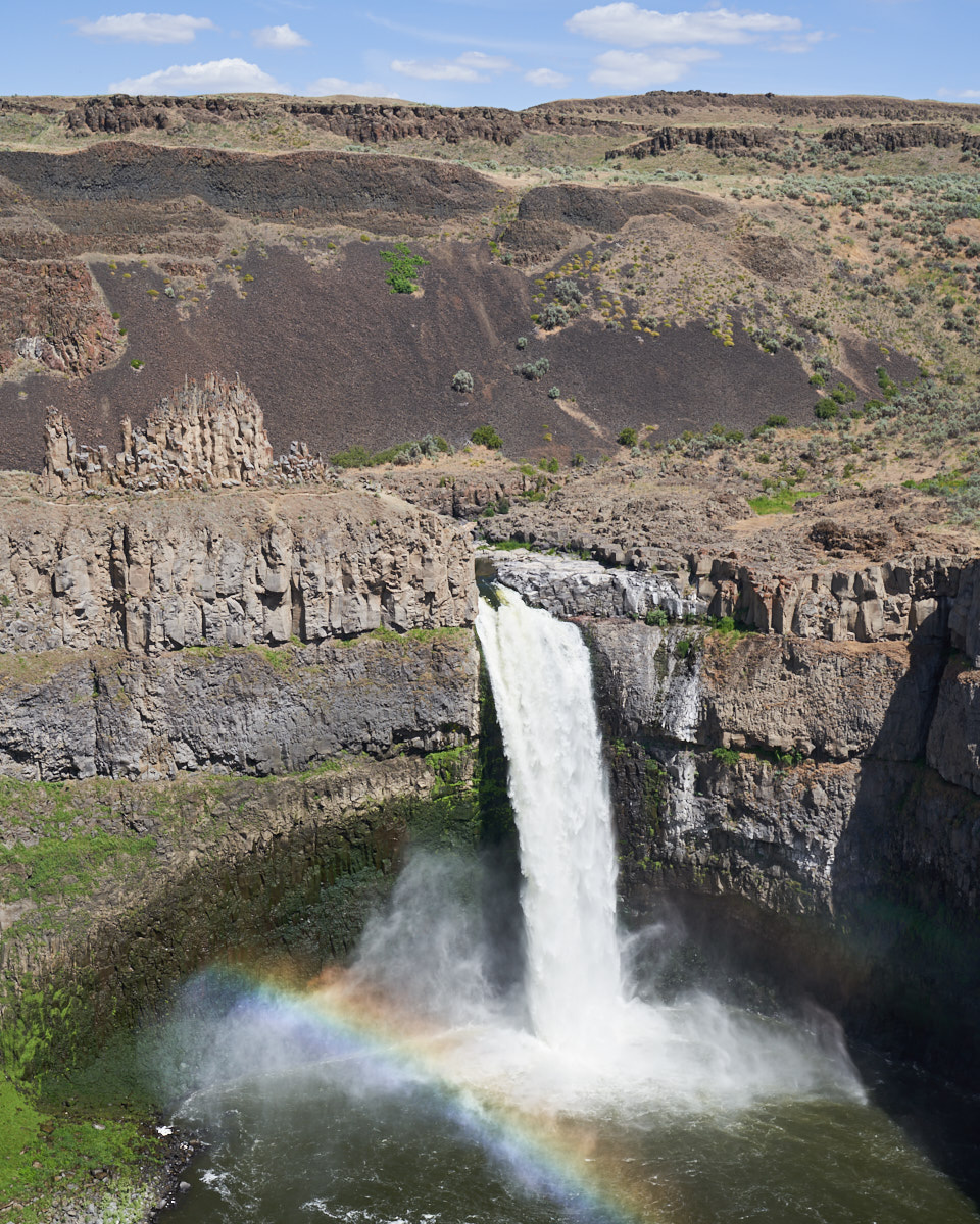
A closer
view of the falls shows the tall basalt pinnacles above and to
the left of the falls.
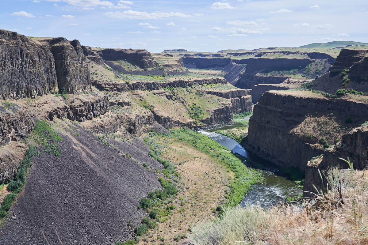
A view
downstream shows the steep basalt cliffs. These flows are
collectively referred to as the "Columbia River basalt flows"
and are over 10,000 feet thick in some areas.
Since
there was no vehicle camping allowed at Palouse Falls, we
literally did a side-of-the-road camp on a dirt road not far
from the falls. The skies were clear, the weather warm and
the winds were calm; life is good.
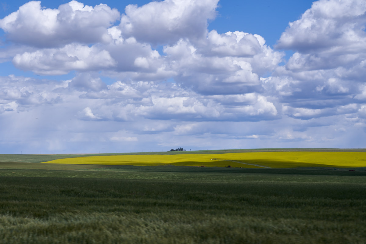
The
following morning we broke camp and the group headed north where
we came upon this interesting field in bloom.
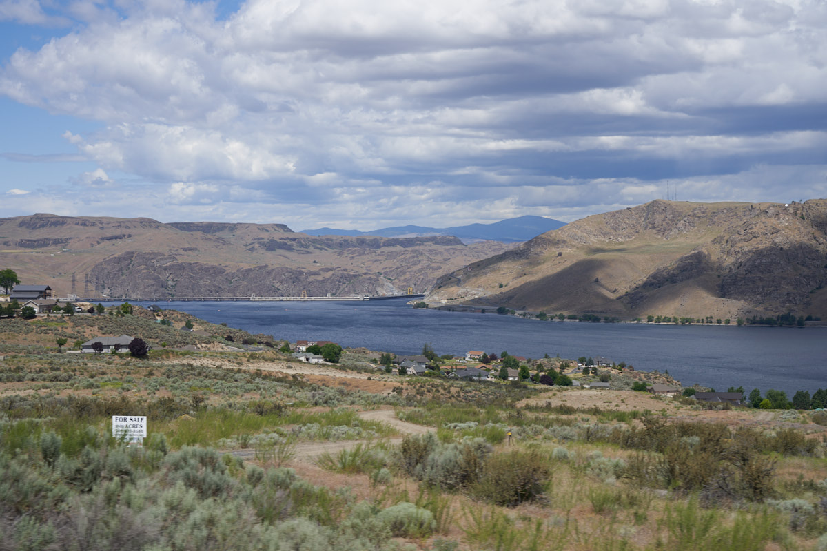
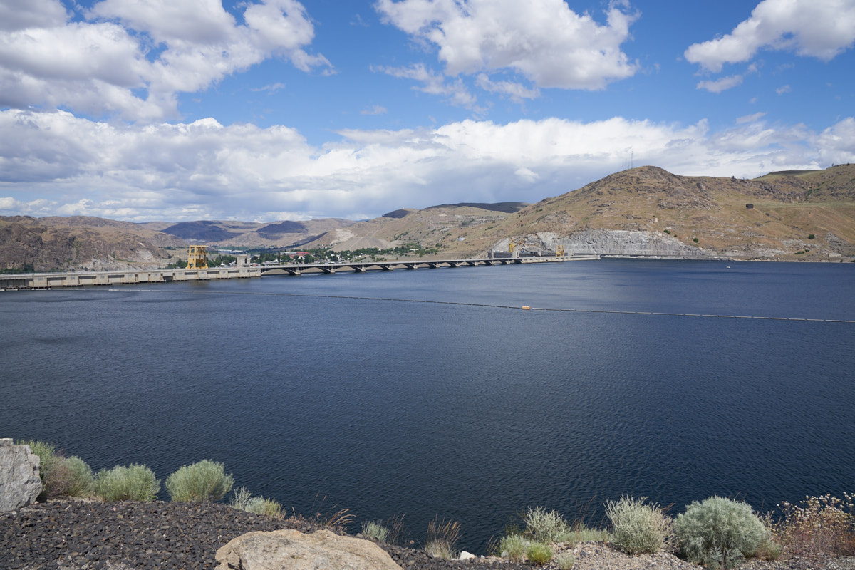
Our
destination for the day was the Grand Coulee Dam. Above is
a view of a portion of FDR Lake at the dam.
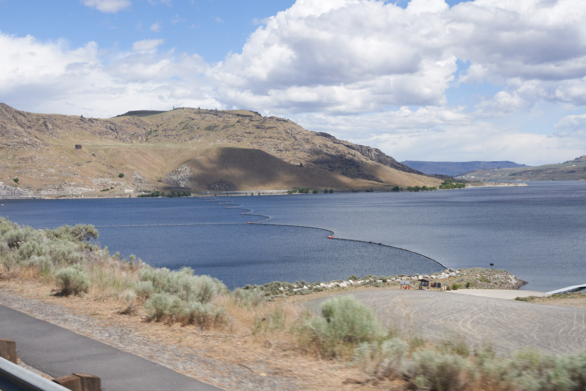
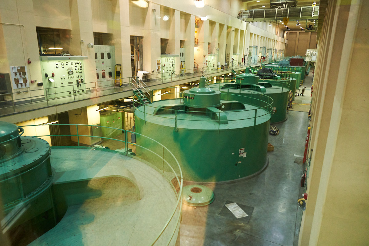
Our
objective was a dam tour. On our way to the tour site, we
could see the surface craft interdiction fences used to prevent
boats from getting too close to the dam
A view
of the dam from the reservoir side.
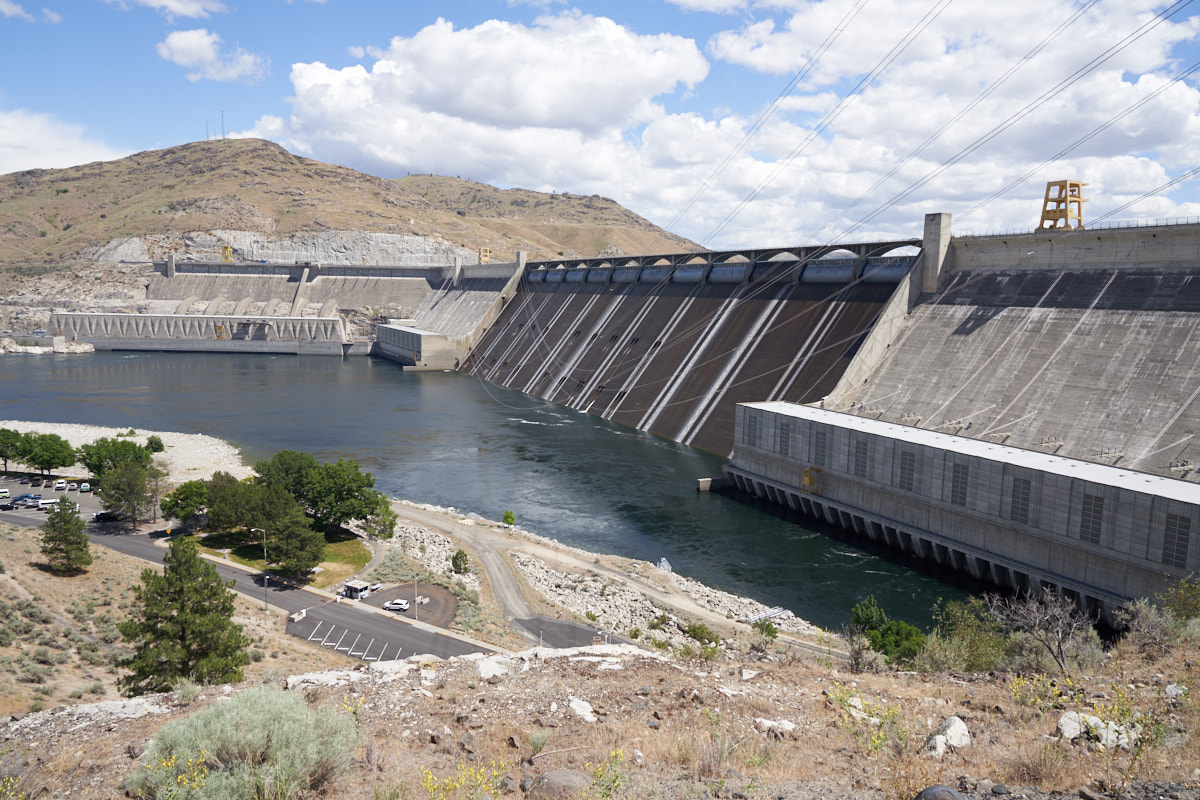
From the
overlook point we could see the entire face of the dam.
Grand Coulee is the largest producer of hydroelectric power in
the U.S. As such, it is considered number one on the
critical infrastructure list and has security to match that
status. Visible in the photo above are all three generator
galleries and the spillway.
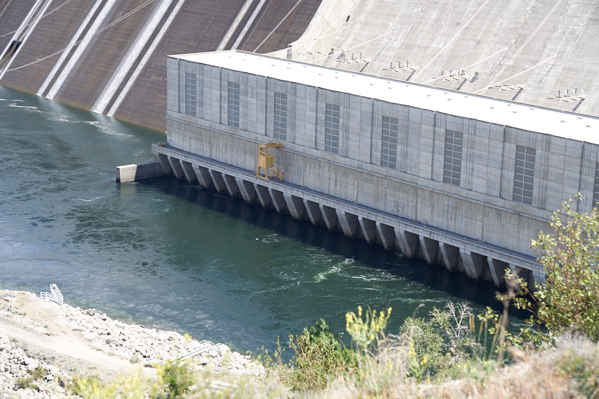
A closer
look at the right power house.
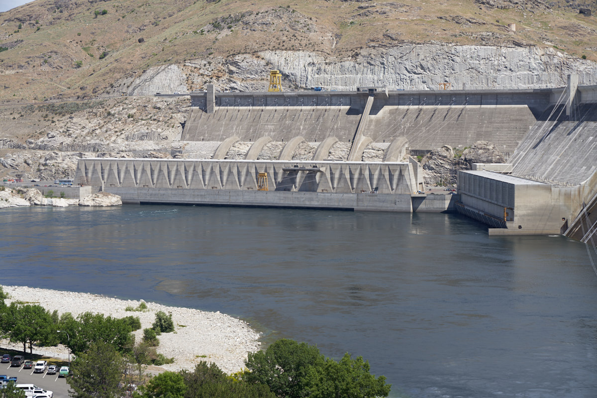
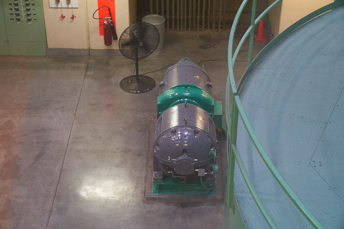
Powerhouse
number 2 is a clone of number 1. Number 3 has special
concrete siphons that deliver the water for the turbines.
Huge
networks of power towers carry the dam's massive output to the
west toward Seattle.
| Previous Adventure | ||
| Trip Home Page |
Photos and Text Copyright Bill Caid 2019, all rights
reserved.
For your enjoyment only, not for commercial use.