The photos below are what we saw.
We
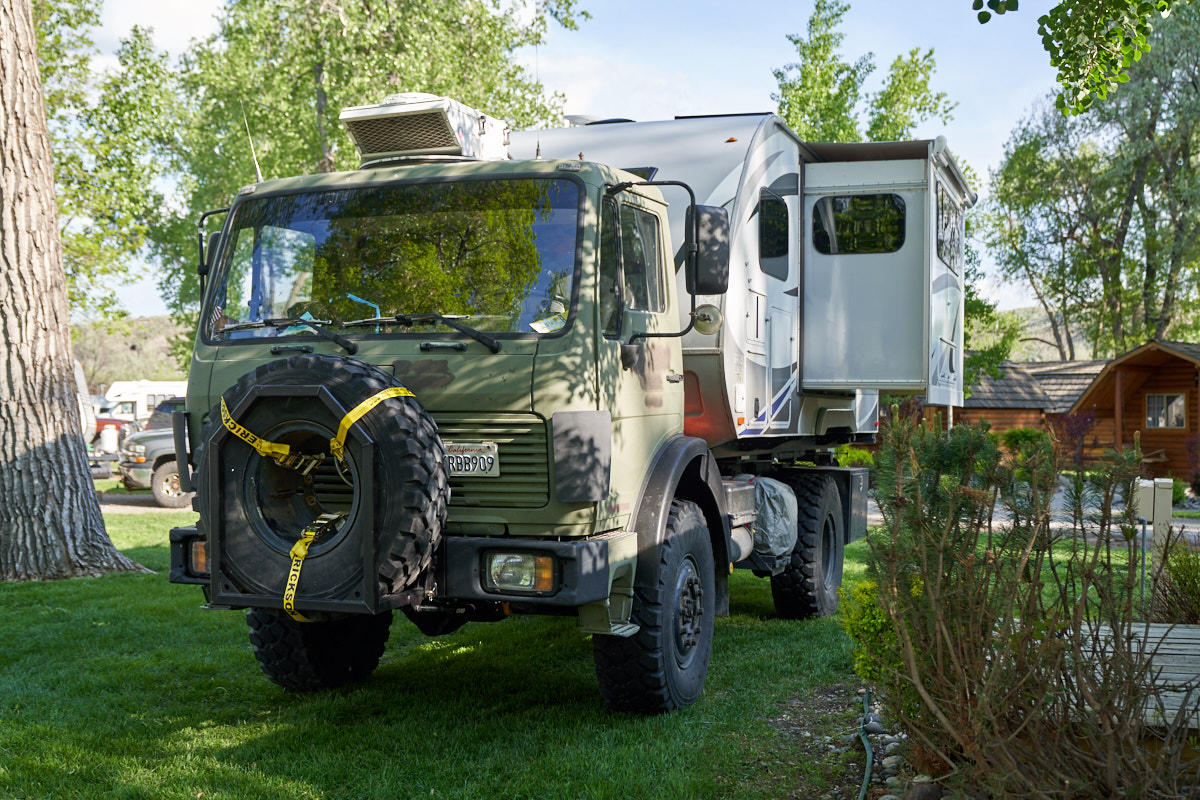
stayed at the Billings, MT KOA right on the Yellowstone
River. We had a nice spot with shade which was welcome in
the warm afternoon sun.

The
Billings KOA is a well-kept place with plenty of mowed grass and
shade trees.
The
following morning, we decided to do a day trip from Billings to
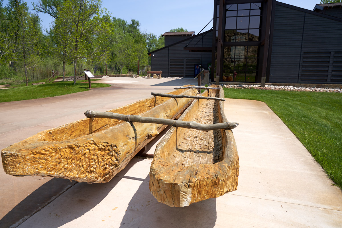
see Pompey's Pillar and Pictograph Caves. Pompey's Pillar
is a national monument dedicated to some graffiti left by Lewis
and Clark on their transcontinental expedition back in
1806. The above item is a recreation of one of the dugout
canoes used by the expedition members to haul cargo.
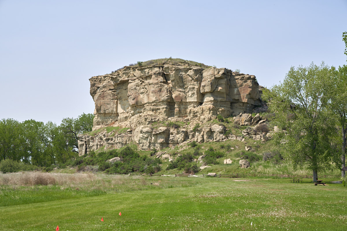
Pompey's
Pillar is nothing more than this unremarkable sandstone
butte. The carvings in the stone are on the upper right
portion of the bluff.
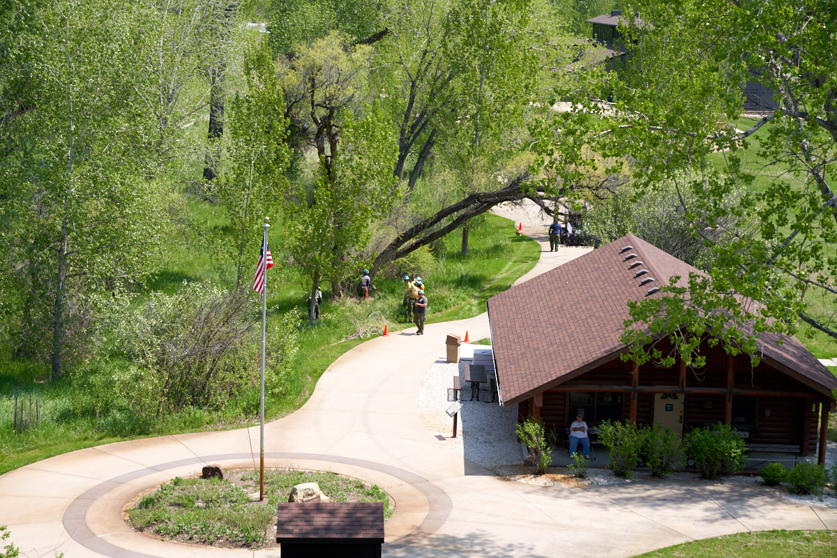
From the
stairs we could see some of the BLM firefighters removing a tree
that had shifted and was in danger of falling on the walkway.
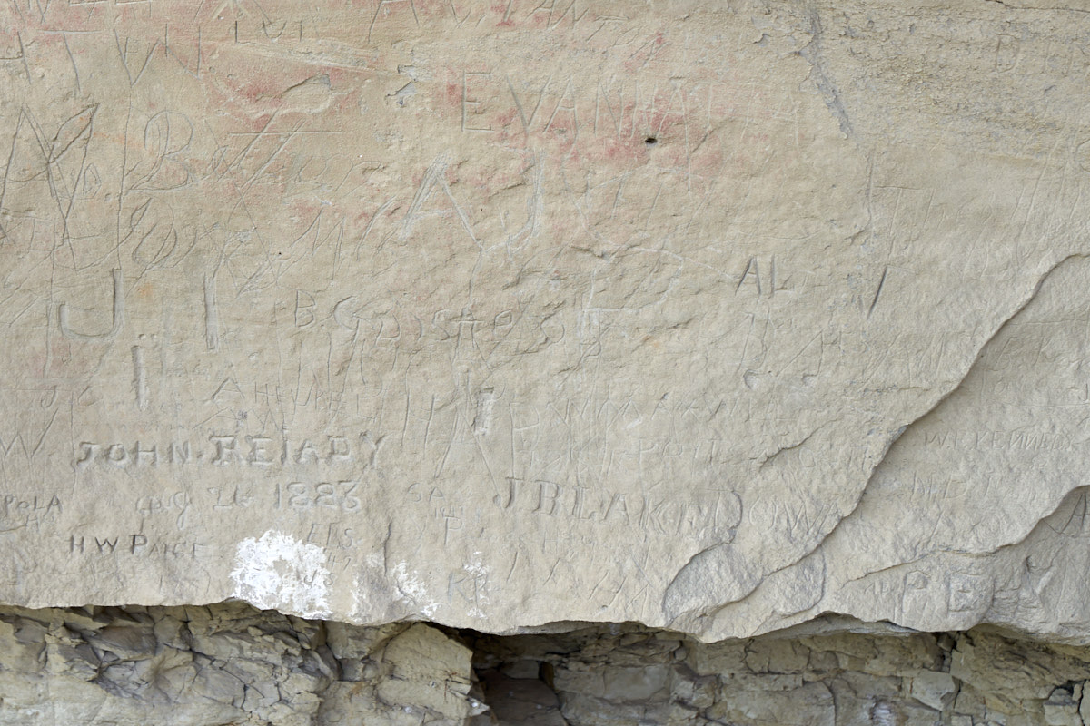
Near the
top of the walkway some of the carvings were visible.
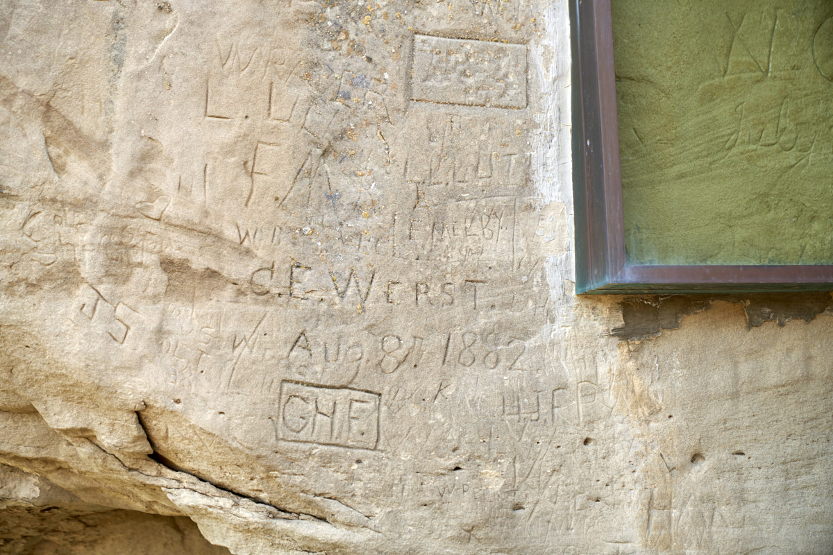
Some of
the carvings are recent others much older.
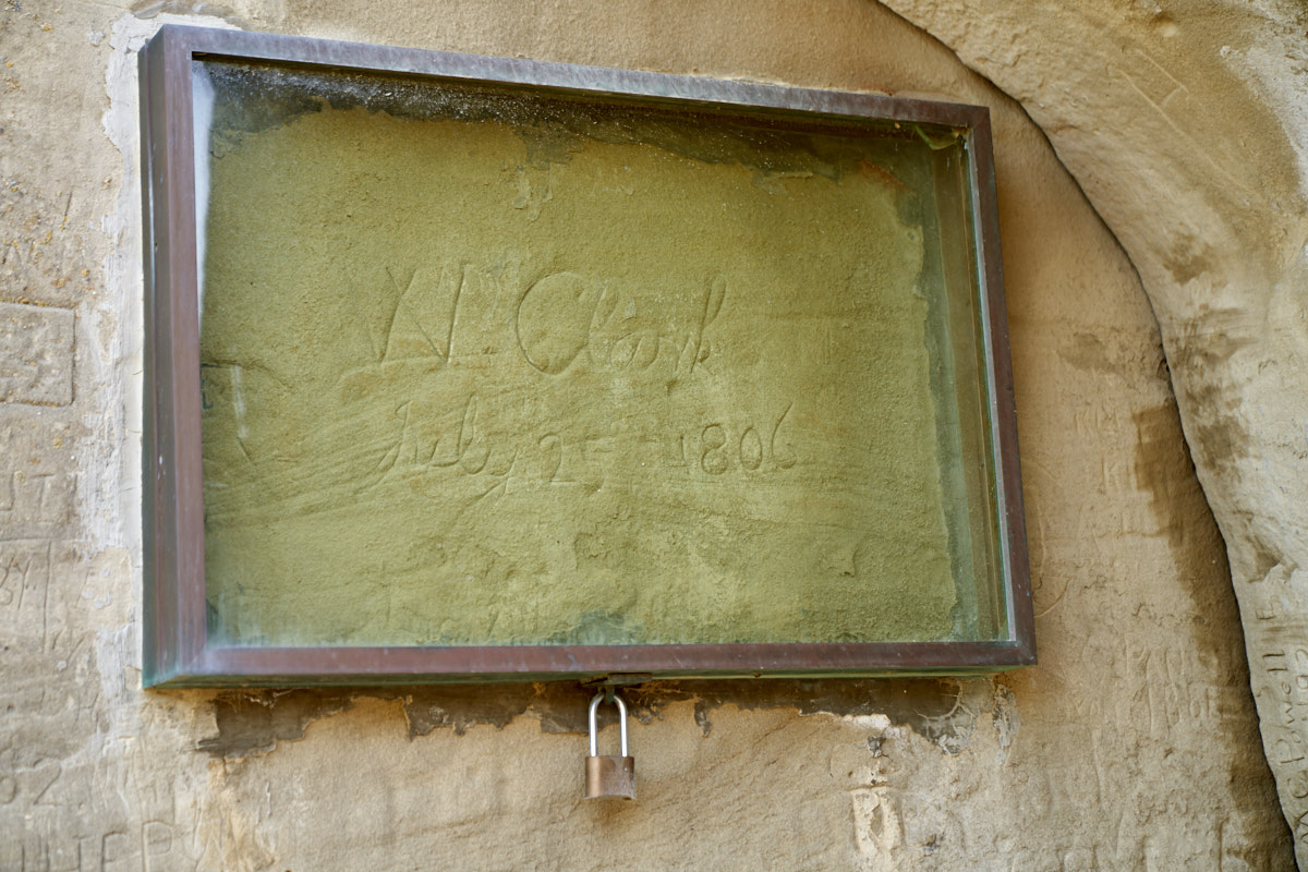
William
Clark's inscription was covered by a weather shield.
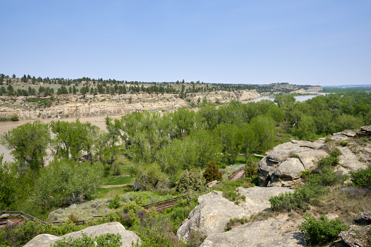
From the
top of the bluff we had a commanding view of the Yellowstone
River valley to the east.
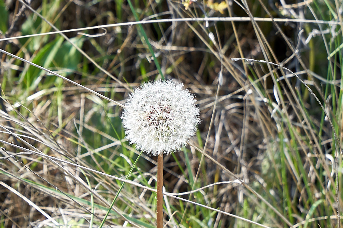
Everything
was in bloom. This dandelion still had all its petals.
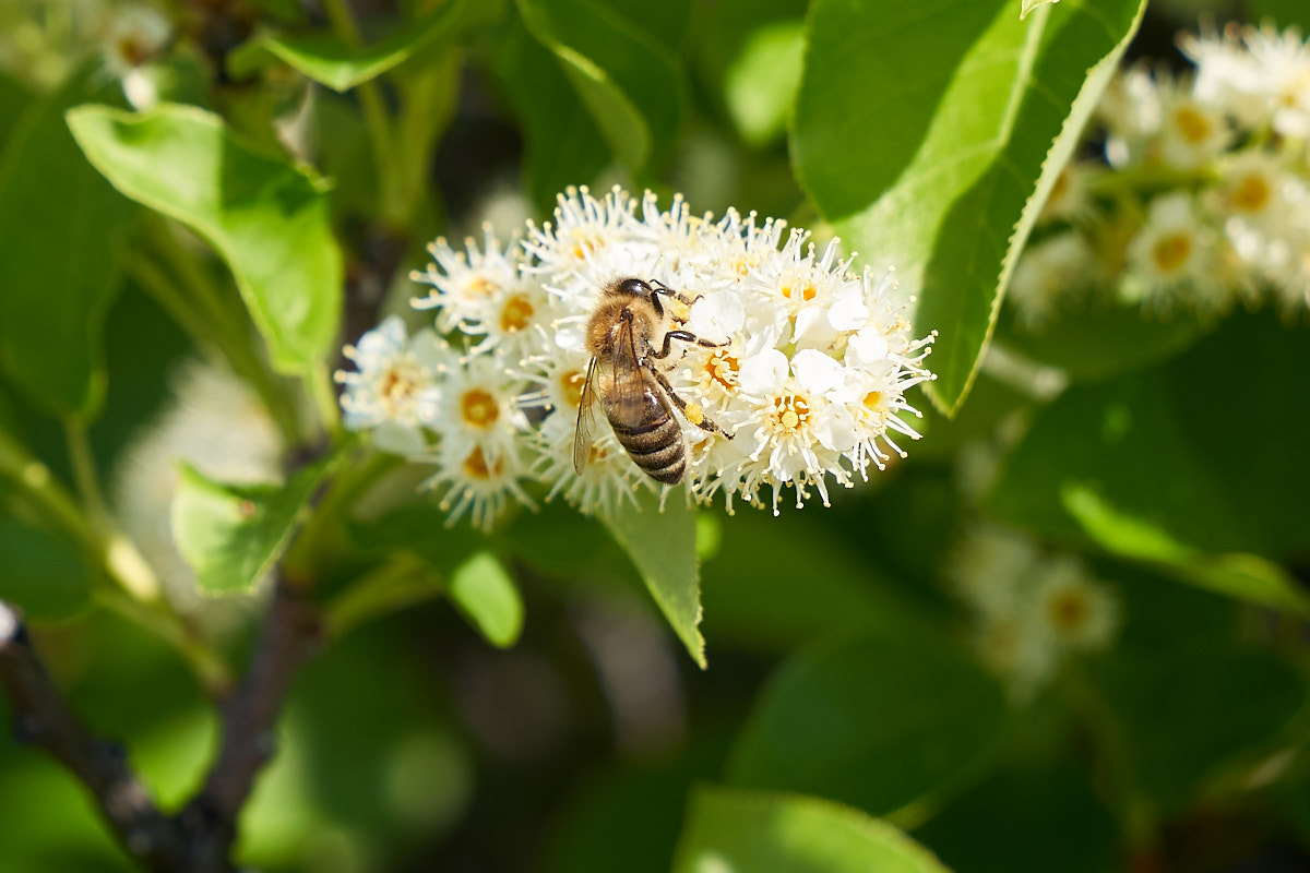
The blooms
on the bushes attracted squadrons of bees in search of pollen.
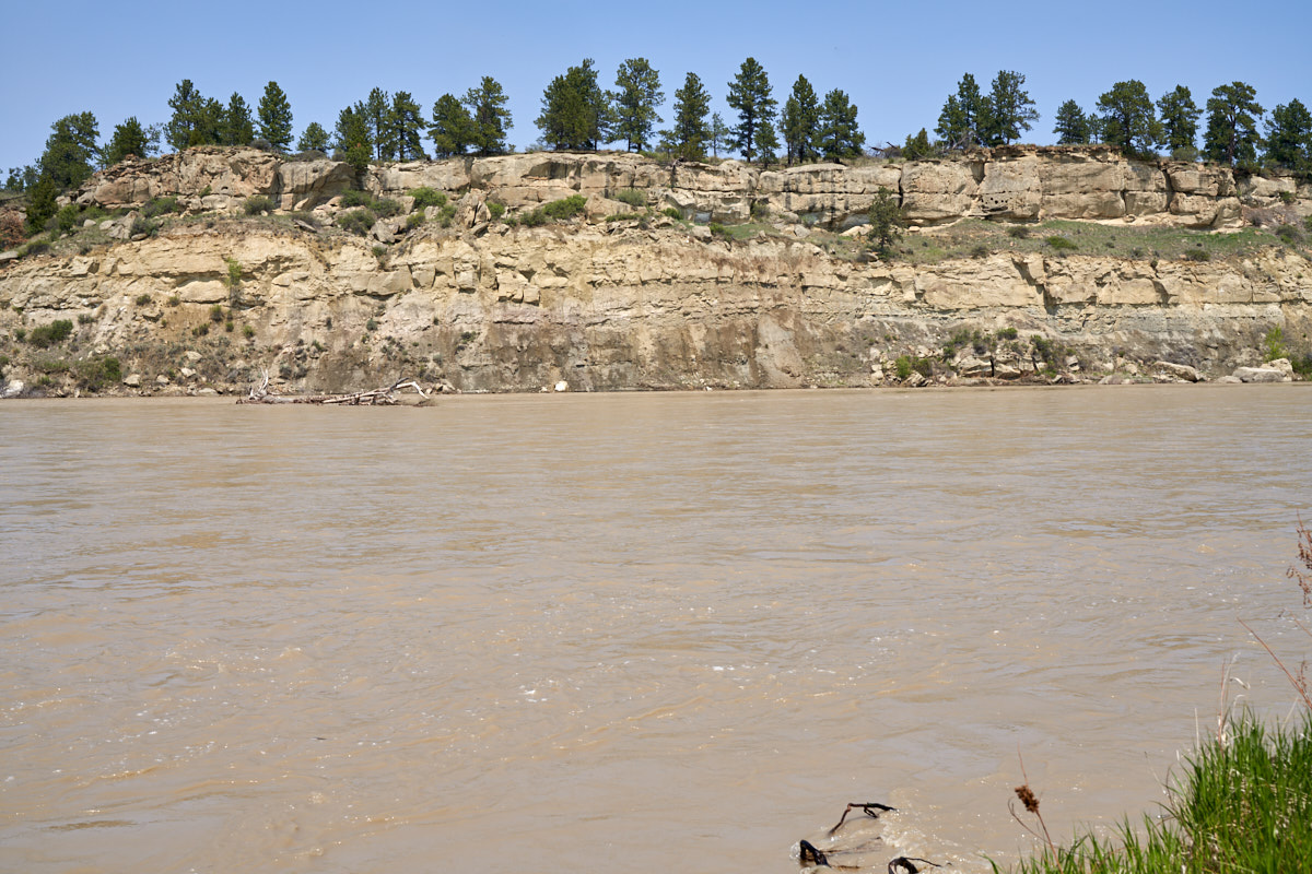
Our path
back to the truck took us past the banks of the
nearly-flood-stage Yellowstone River. Note the amount of
silt in the water from the recent hard rains. The river
was hauling huge tangles of downed trees and brush that had been
washed into the river during the rains.
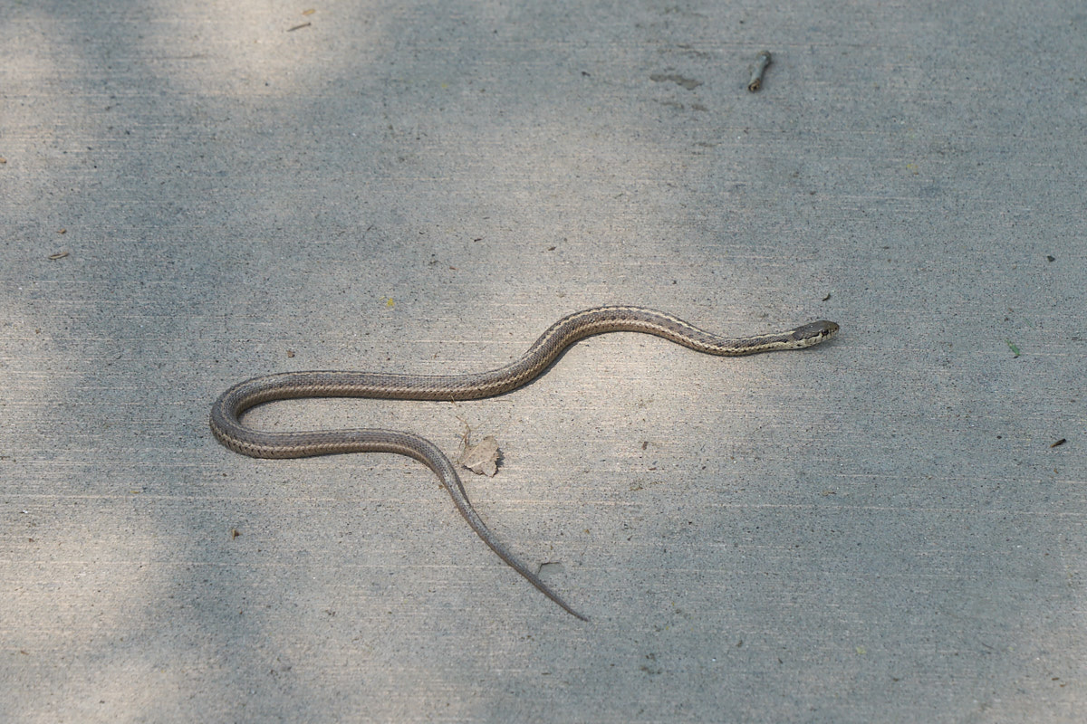
This
little snake had me dancing a jig. I saw him out of the
corner of my eye and my brain said "rattlesnake" and the dancing
started in earnest. Once I was out of range and
looked to see what it was I was relieved to discover that it was
no threat to me. The snake went his way and we went ours.
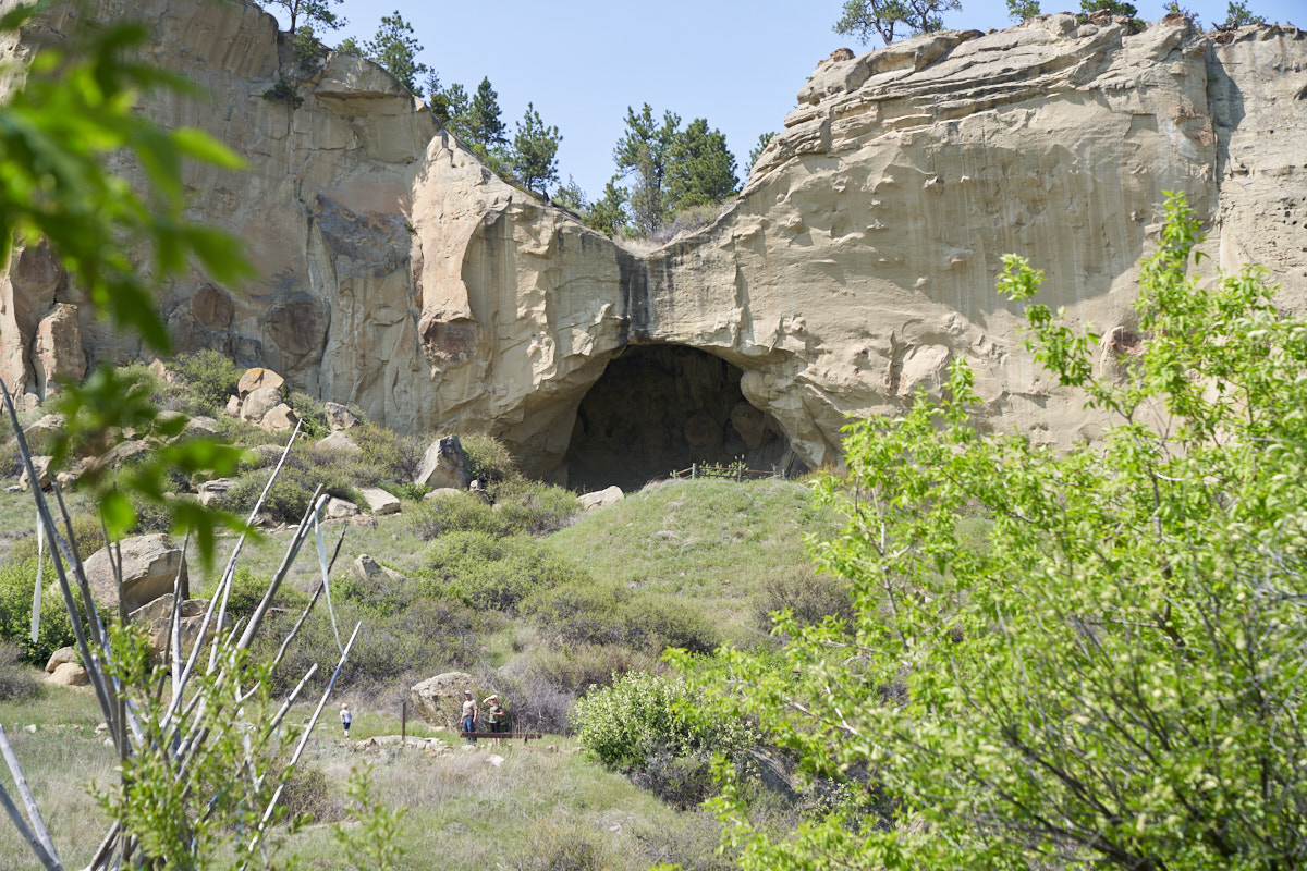
Our next
stop was the pictograph caves state park. Both the caves
and the pictographs were rather underwhelming.
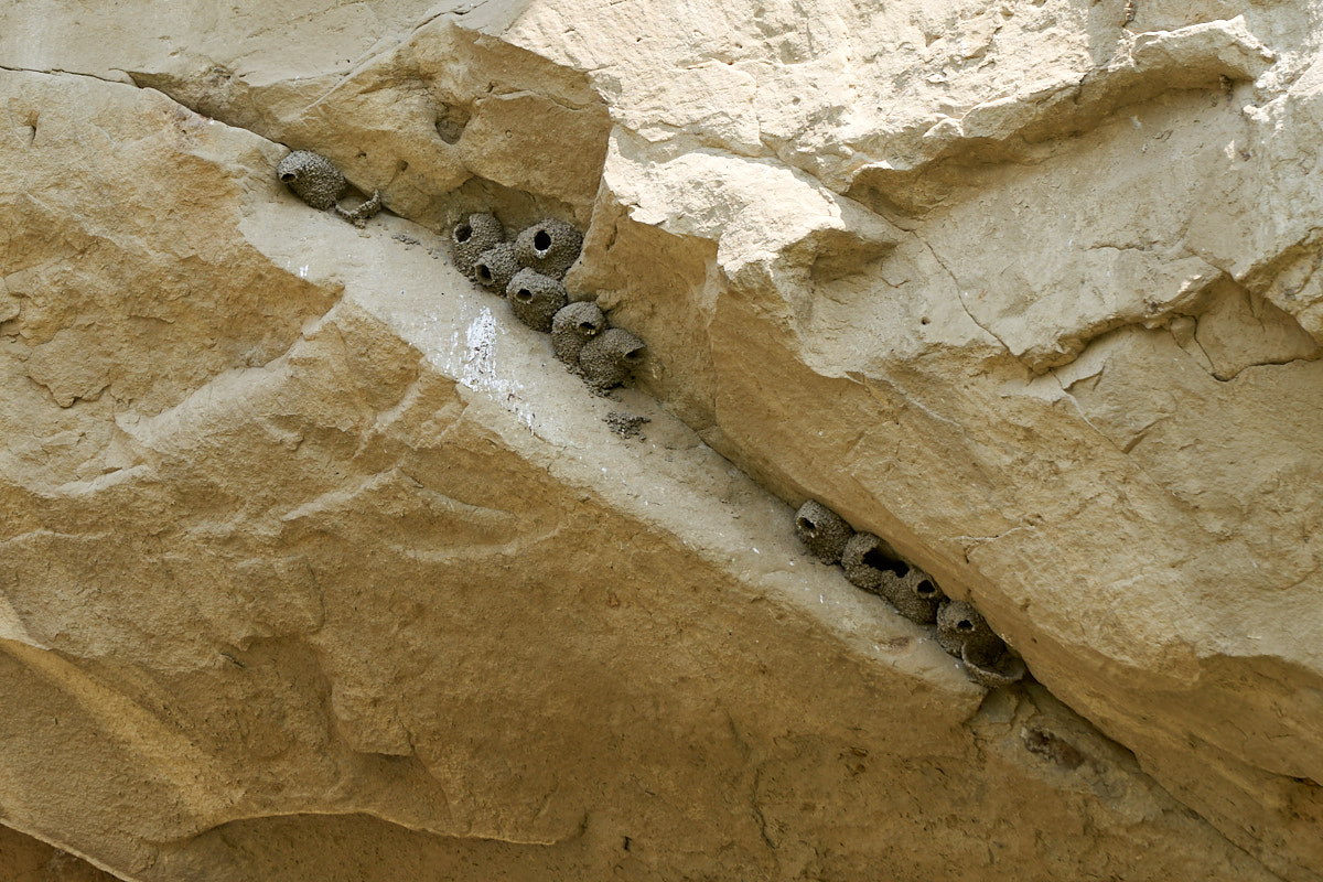
The
short hike from the parking lot showed us many mud dauber nests
on the cracks in the cliff.
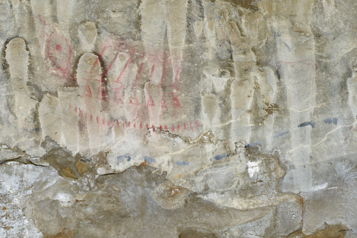
The
pictographs were heavily damaged by water seepage. The
seeps were causing the surface of the rock to flake off taking
the pictographs with them. The shot above is the
best-preserved portion of the cave. Visible are red
figures that look like rifles.
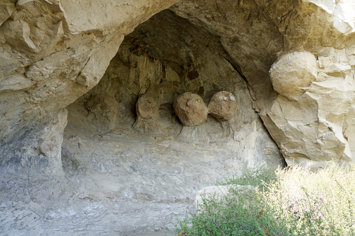
In the
other caves, nearly all the pictographs had flaked off revealing
spherical inclusions of harder sandstone buried in the cliff
walls.
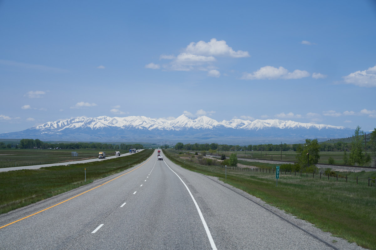
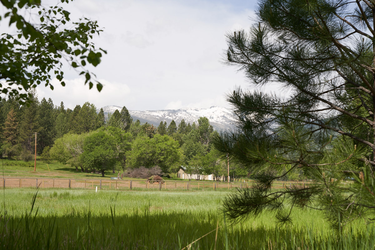
We left
Billings and headed west on the interstate. In the
distance we could see the Crazy Mountains outside of Big
Timber. The recent rains brought plenty of snow to the
high country resulting in a magnificent panorama.
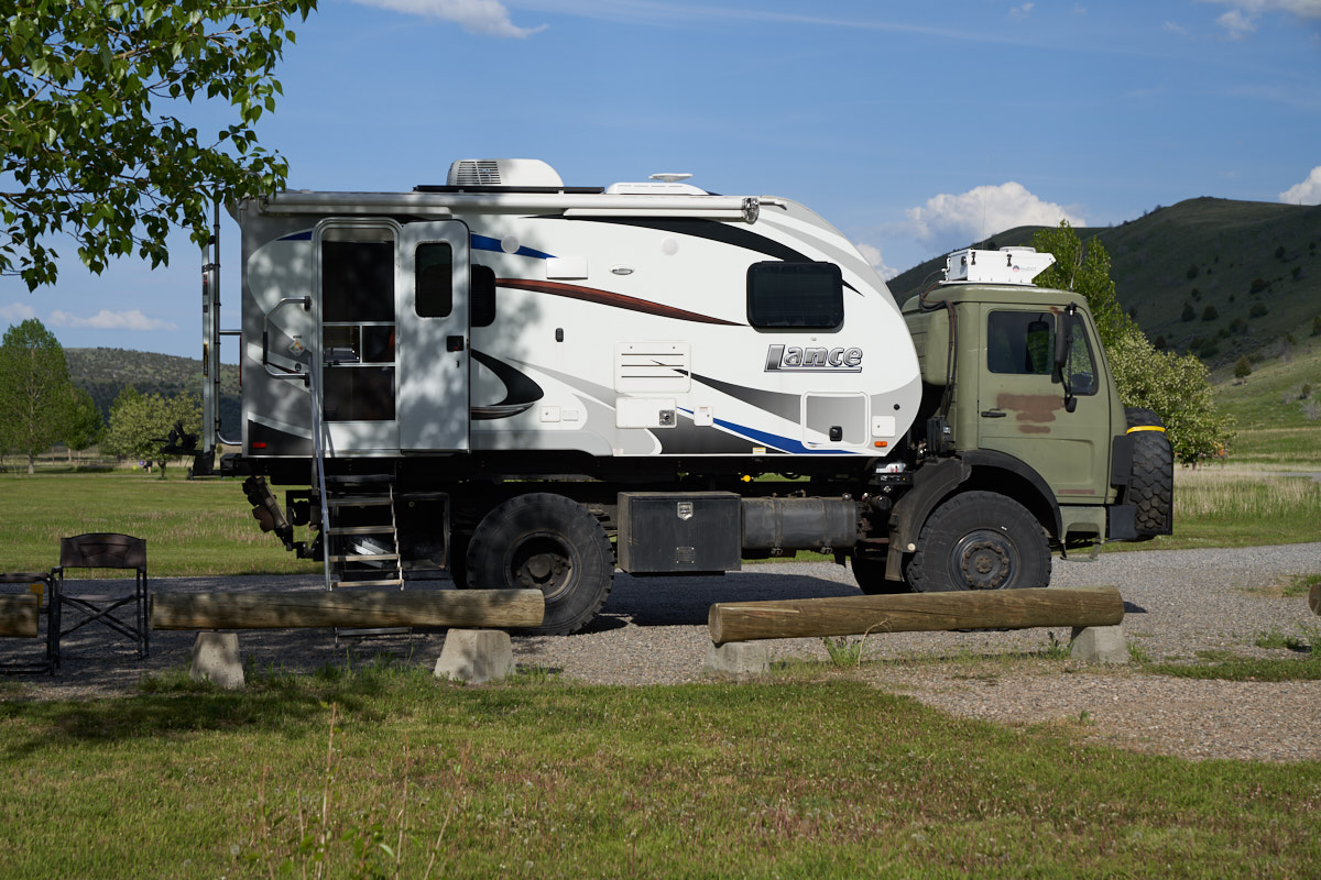
We
rolled to Bozeman, then south and west to Red Canyon on the
Madison River. We found a great BLM camp right on the
river.
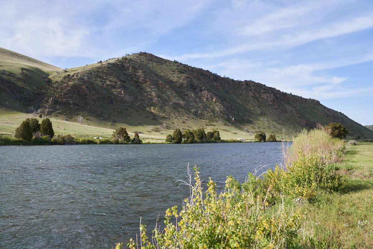
The view
from the door of our camper. The river was flowing
bank-to-bank.
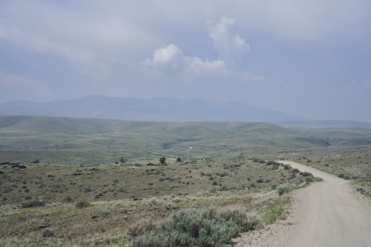
The next
morning we broke camp and continued to the west. Our path
took us over the hills via a dirt road.
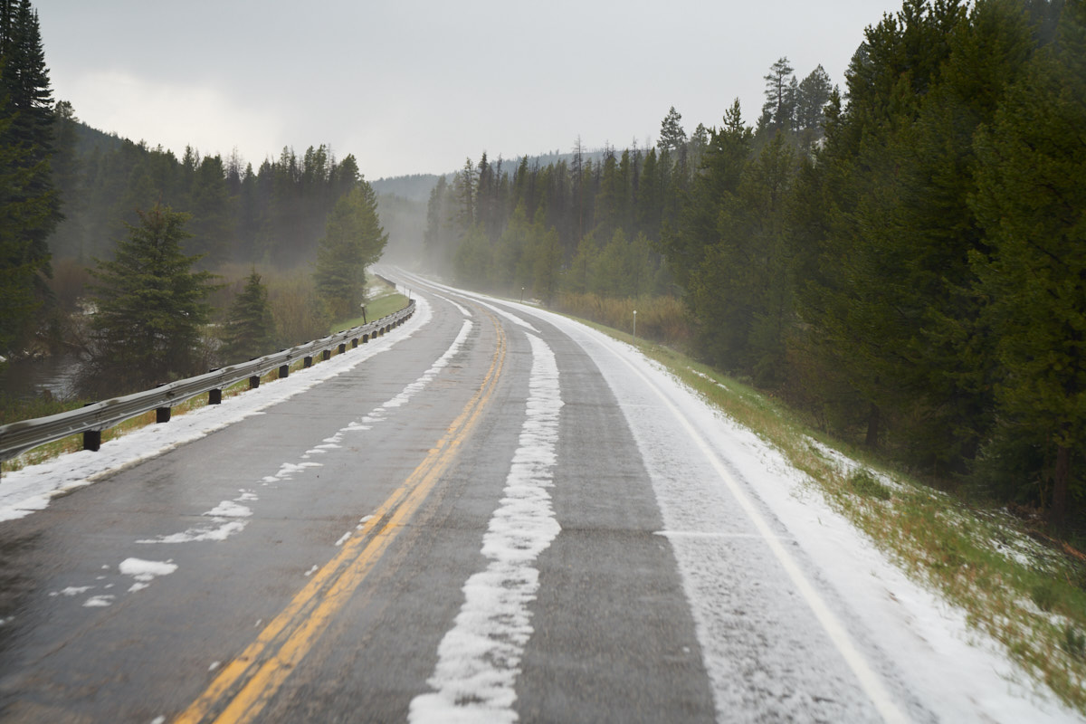
Further
west at Chief Joseph pass the rain turned to snow making things
exciting.
| Previous Adventure | ||
| Trip Home Page |
Photos and Text Copyright Bill Caid 2019, all rights
reserved.
For your enjoyment only, not for commercial use.