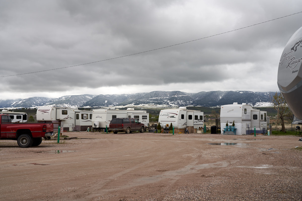
Our
night in Laramie was windy, rainy and cold. It snowed in
the hills over night, but fortunately it did not snow in
town. We broke camp and headed north to our friend's place
outside Cody, WY.
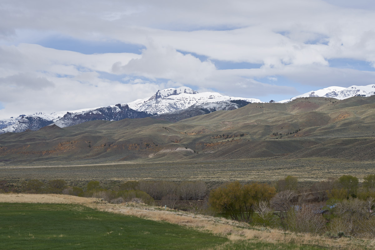
The photos below are what we saw.
The rain
in the valley turned into snow in the nearby mountains.
Happily, we would not have to deal with snow on the road.
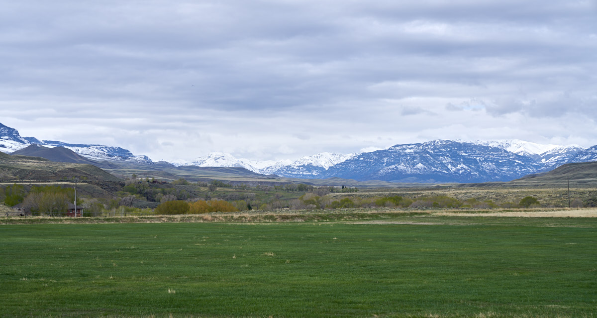
We traveled from Laramie to Cody without issues and then planned
to spend several days in Cody.
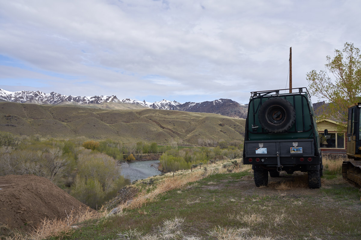
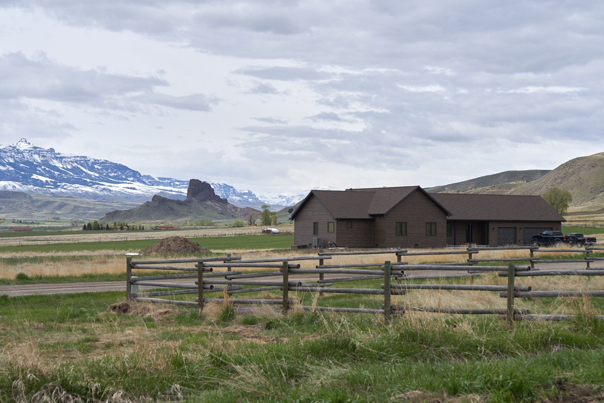
Our friends
Bob and Sandy own the "Lost Ranch" on the south fork of the
Shoshone River. The views from the property were
breath-taking. Within a few days of our arrival it
snowed. While the snow cover in the valley melted quickly,
the peaks of the mountains retained their snow for weeks.
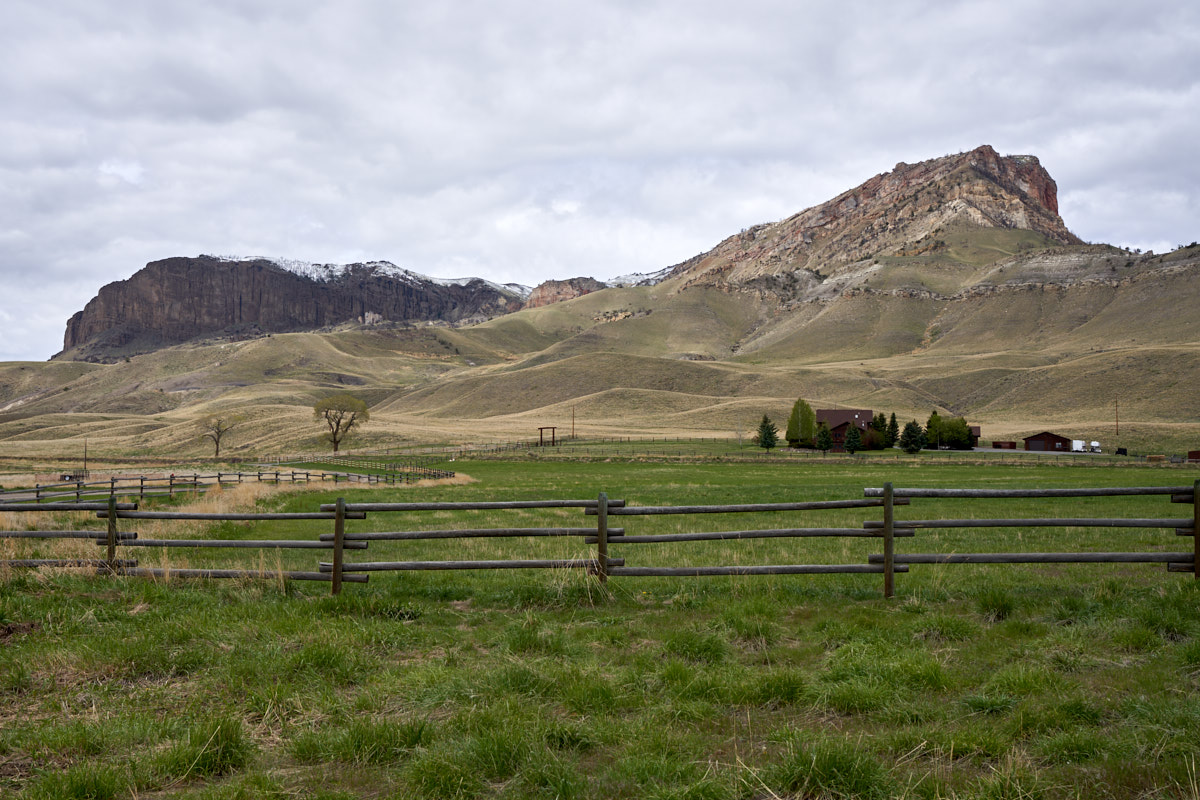
The
ranch sits between Carter Mountain and the Absaroka Range.
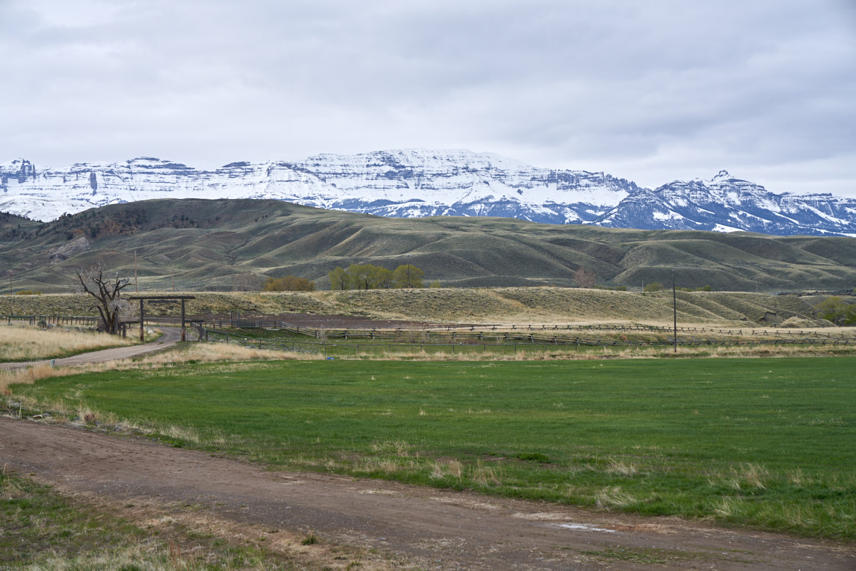
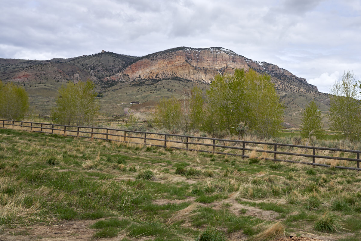
The
cliffs of Carter Mountain were covered by snow during the recent
storm.
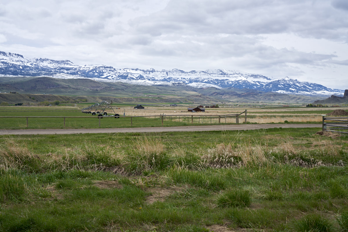
The
Absaroka Range was visible beyond the Shoshone River.
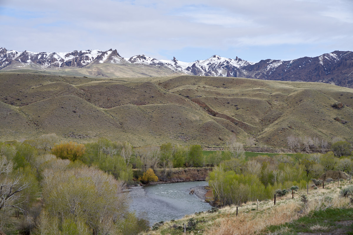
The
upper peaks were very rugged with many faults and upturned
bedding resulting in spires and hoodoos.
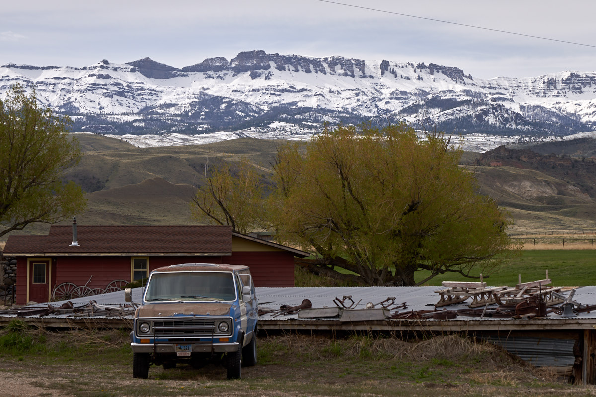
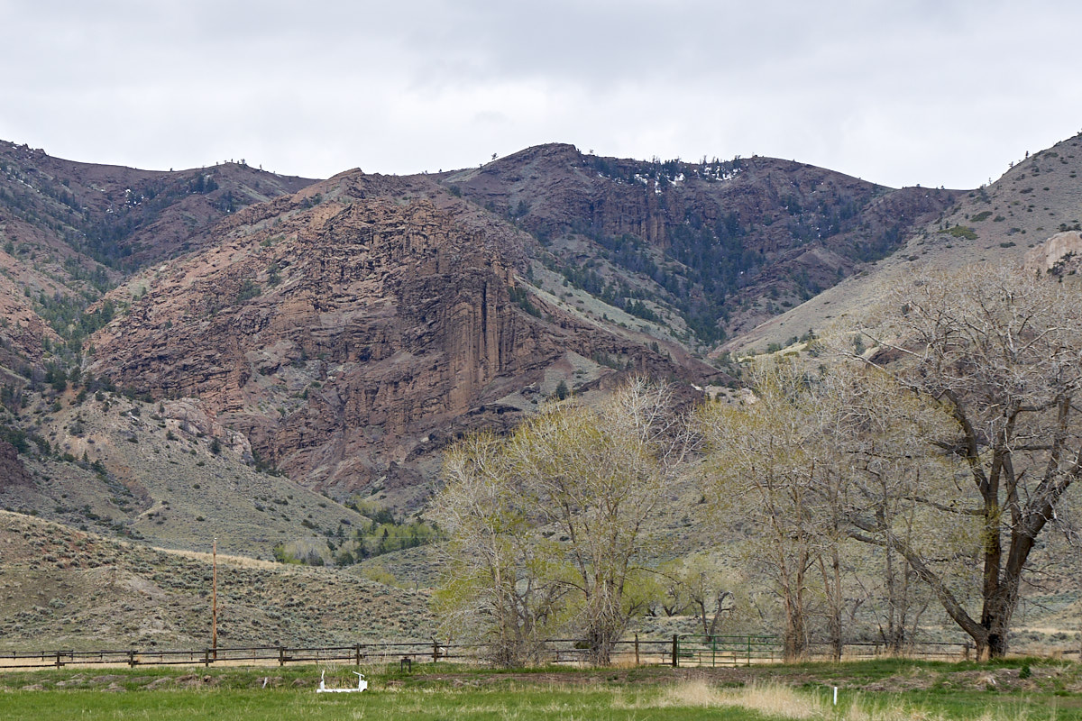
The
Carter Mountain side of the valley sported a huge palisade of
cliffs.
I was
helping Bob with some chores in a nearby town when one of his
friends called with an "emergency". One of his (30) horses
had to be put down due to hoof laminitis and something needed to
be done with the carcass. Aside from the ugly sight and
smell, it is unwise to leave rotting meat around your farm or
ranch. Dead animals attract bears and wolves and a
problematic encounter is sure to result. So, plans were
made to travel to the friends' ranch the following day and
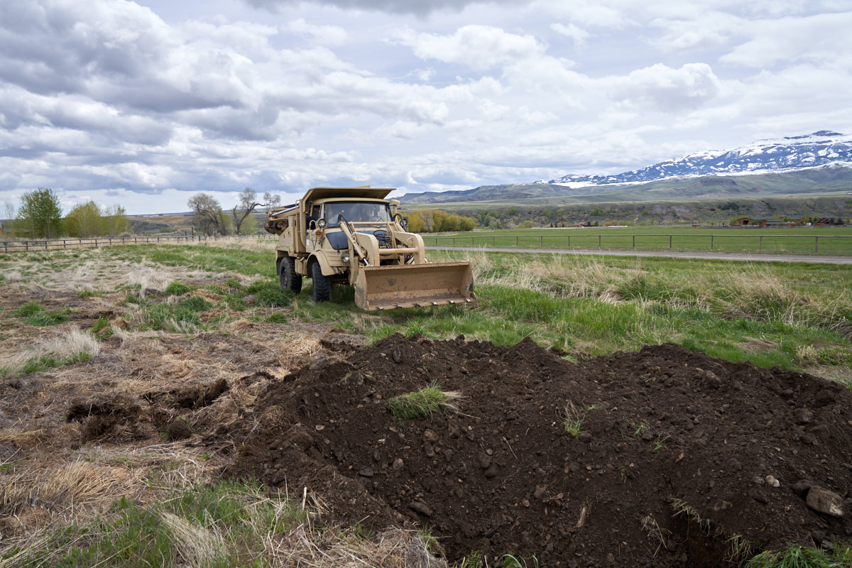
dispose of the carcass. We used Bob's CEE tractor (a model
406 Unimog with a bucket and backhoe. Upon arrival at the
horse burial ground we got a nice view of the western cliffs.
The terrain on the flanks of the Absaroka Range has been tortured by faults, uplifts, erosion and glaciation resulting in unique landforms.
In the
distance is a volcanic plug named "Castle Rock". The
Absaroka Range sits astride the Yellowstone Caldera and has been
touched by volcanism and lava flows for millions of years.
The
western cliffs of Carter Mountain were visible in the distance.
Steep
cliffs have been eroded to produce curtains of rock.
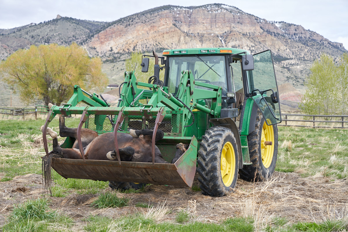
Our
"customer" arrives on the scene. Death is a part of nature
and one never really thinks about the consequence until you have
1500 pounds of dead, soon to be rotting, meat to dispose
of. The rancher's loader was used to transport the carcass
to the burial site.
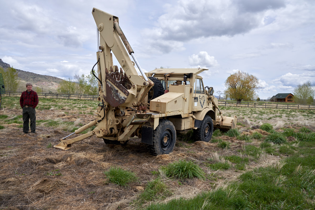
This
small area is the normal disposal area for dead animals.
Bob's CEE tractor was going to be used to dig a deep hole for
the body.
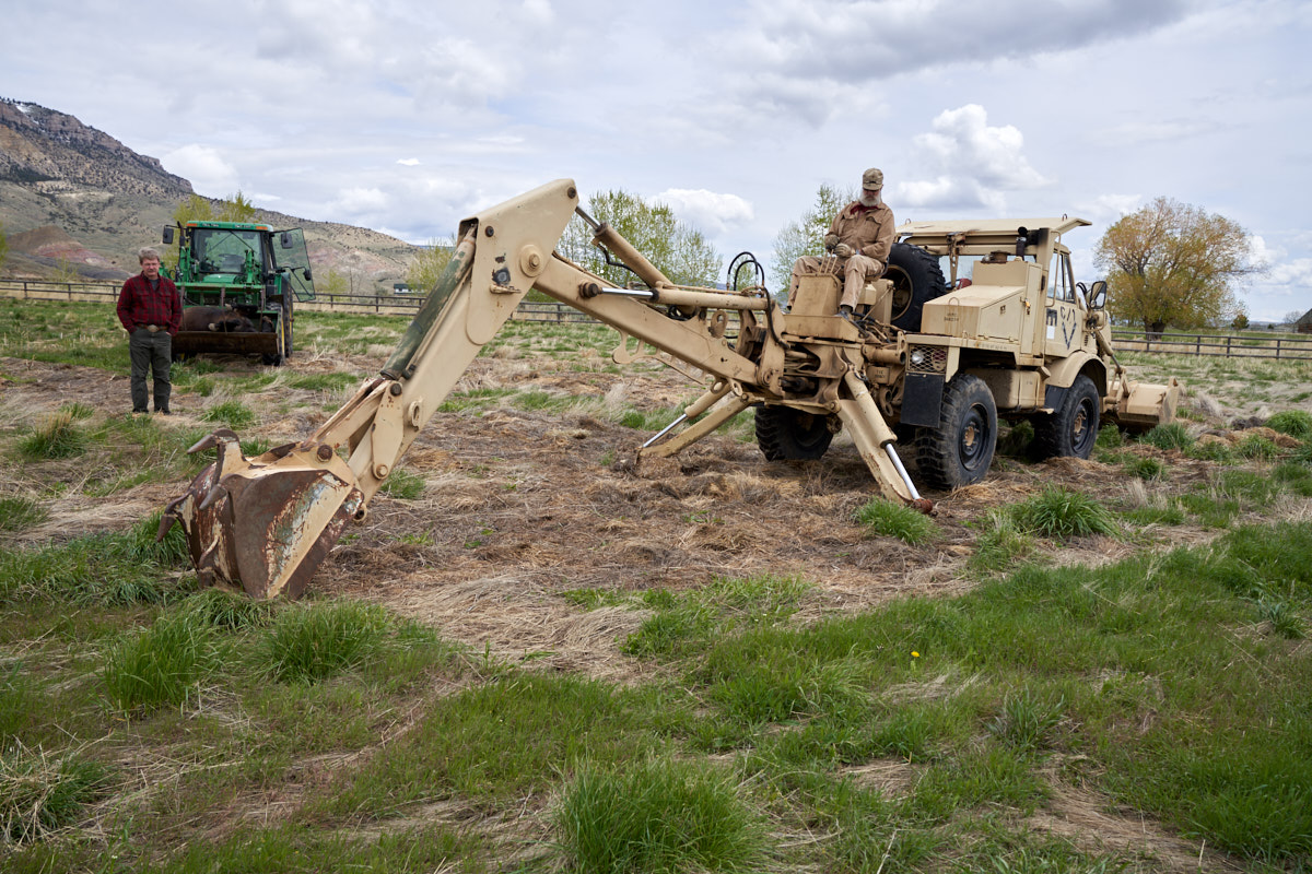
And away
we go. The hoe cut easily through the soil.
Like
most construction projects, one person worked and the balance
watched. Bob dug the hole easily in about 15 minutes.
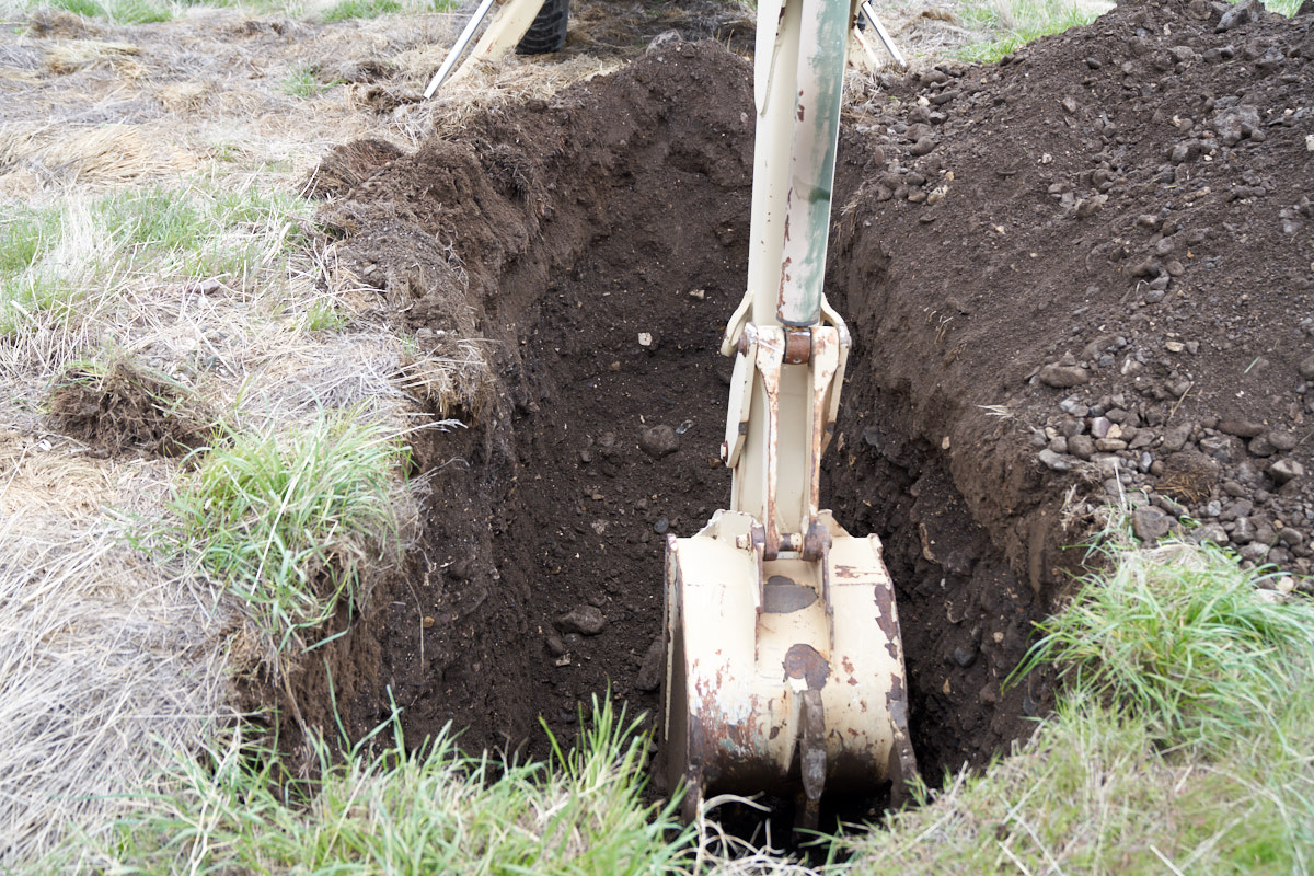
The soil
in this area is likely a lateral moraine from the last ice
age. Note the large number of cobbles.
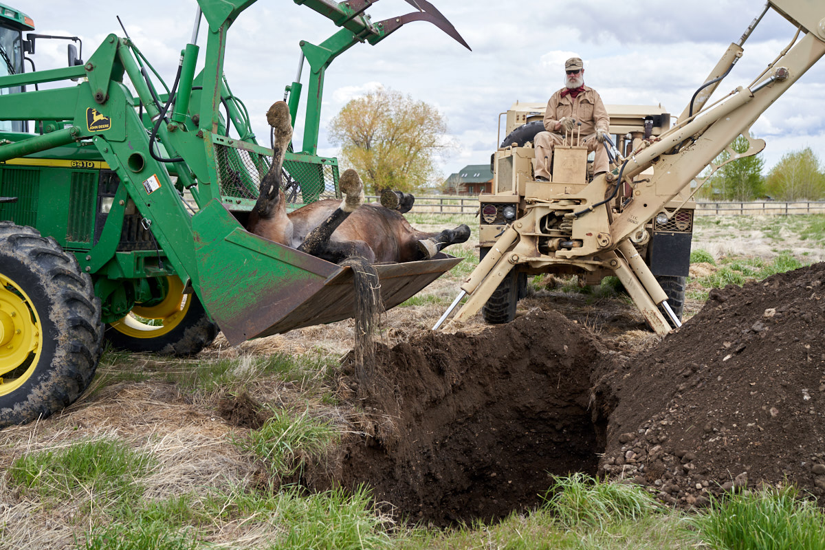
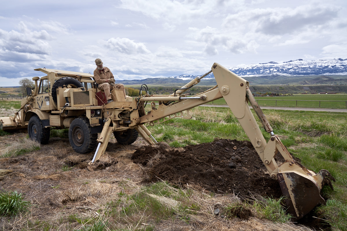
Time to
finish the deed.
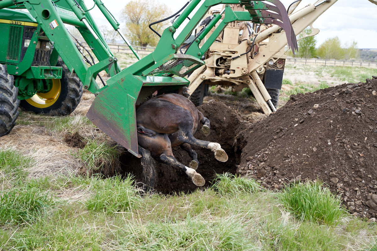
Moving
the horse carcass without a machine would have been impossible.
The
backhoe was retracted and the bucket was used to scrape the soil
back into the hole.
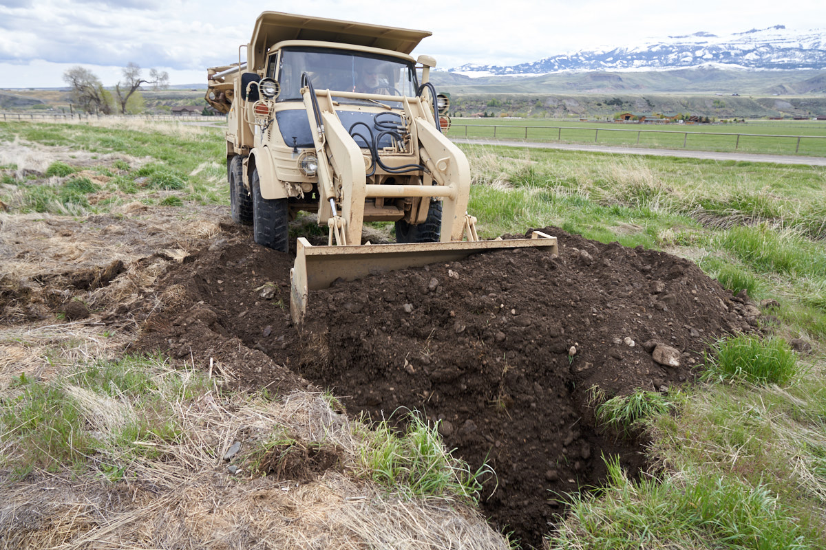
Since
the soil was freshly dug, it was quite easy to move.
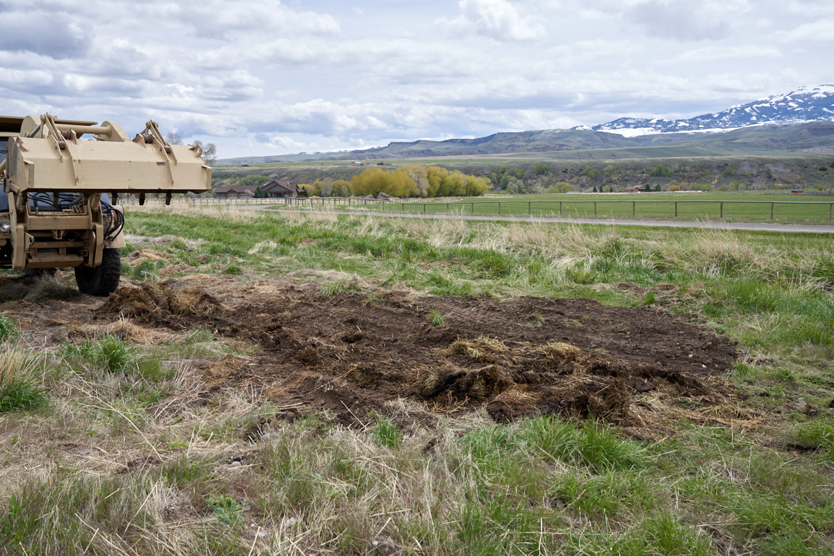
One
horse, laid to rest. RIP.
| Previous Adventure | ||
| Trip Home Page |
Photos and Text Copyright Bill Caid 2019, all rights
reserved.
For your enjoyment only, not for commercial use.