The
photos
below
are what we saw.
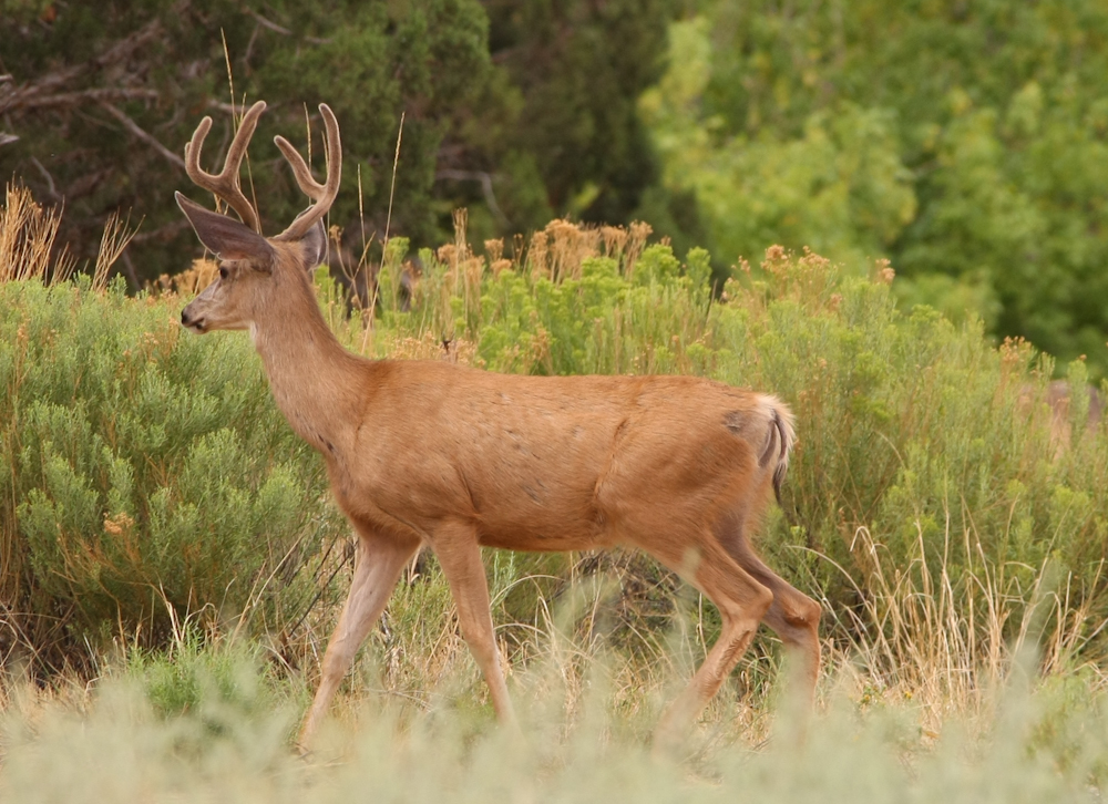
I
was sitting outside at the picknic table and this nice buck came
wandering through camp without a care in the world. He
headed down to the river for a drink.
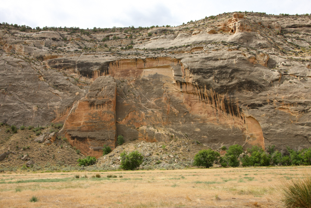
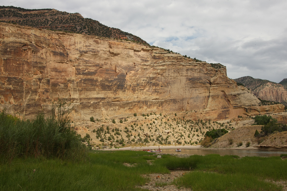
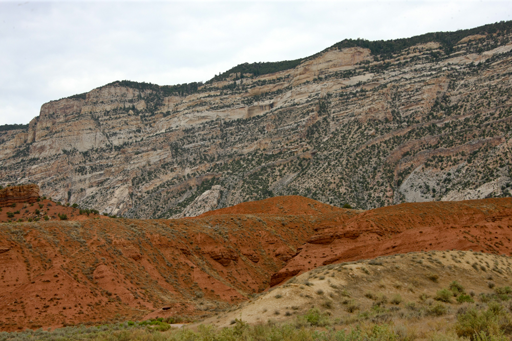
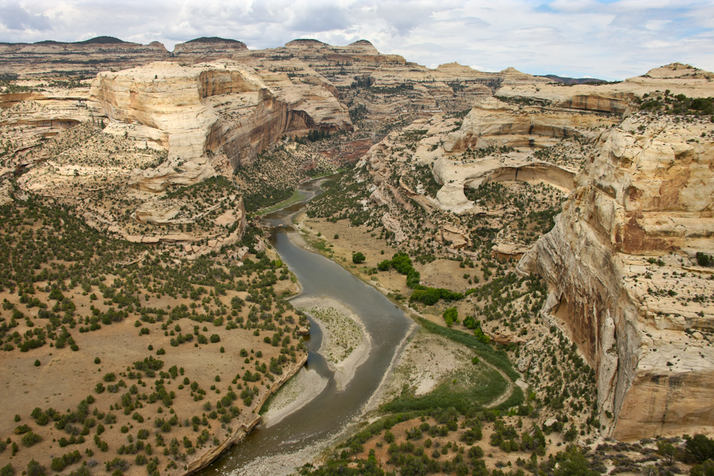
Echo
Park is actually quite big. The walls of the cliff are
rugged and steep.
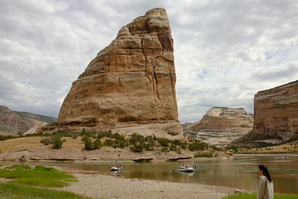
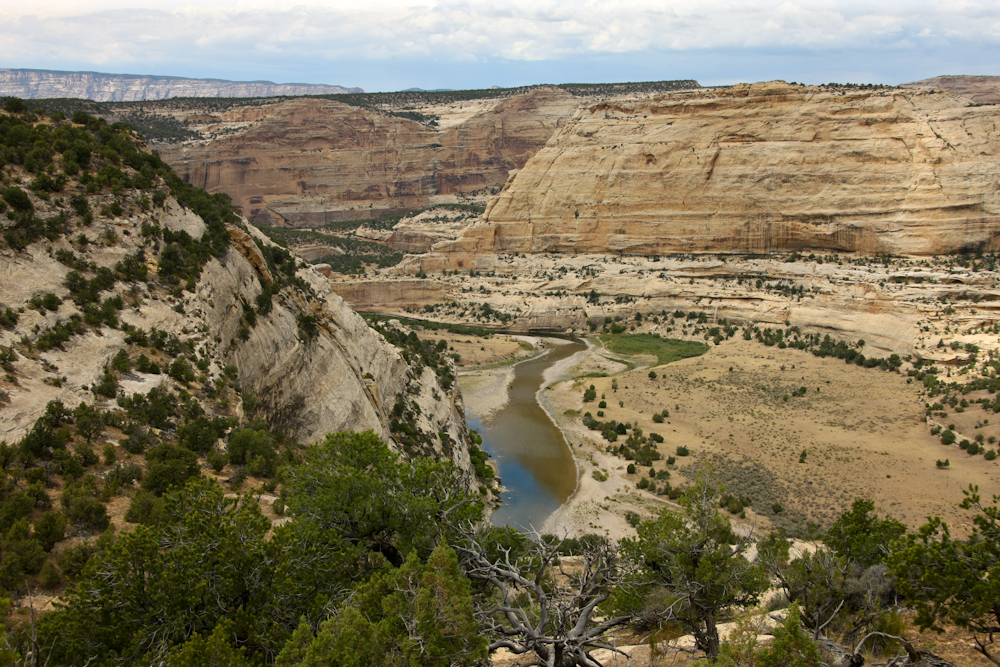
On
the river bank we saw some of the rafters that frequent the Green
River. Across the river was a large rock monument.
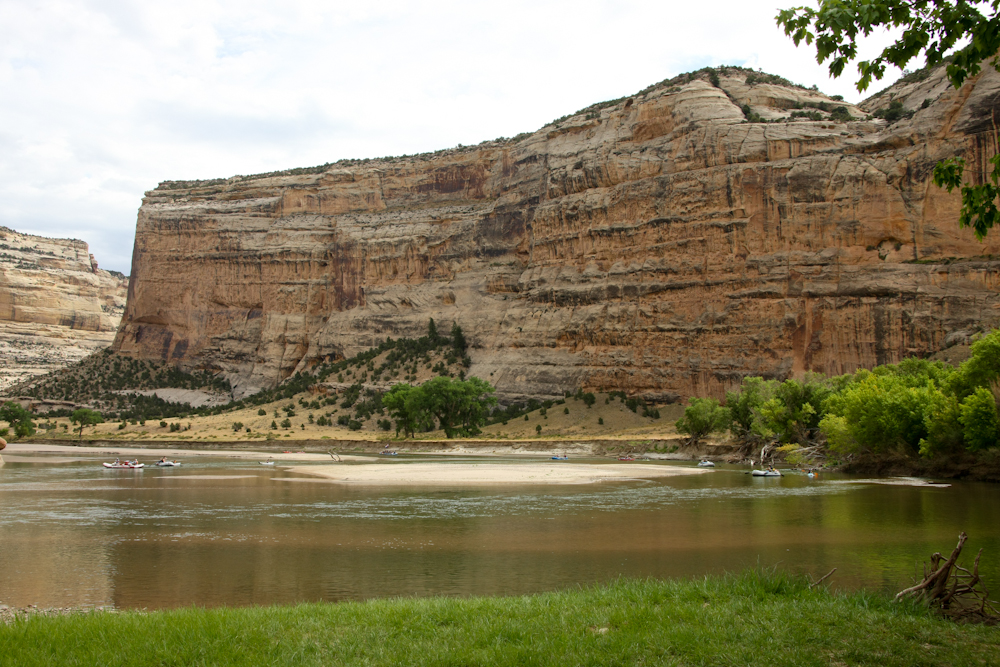
More
rafters were coming to the beach at Echo Park.
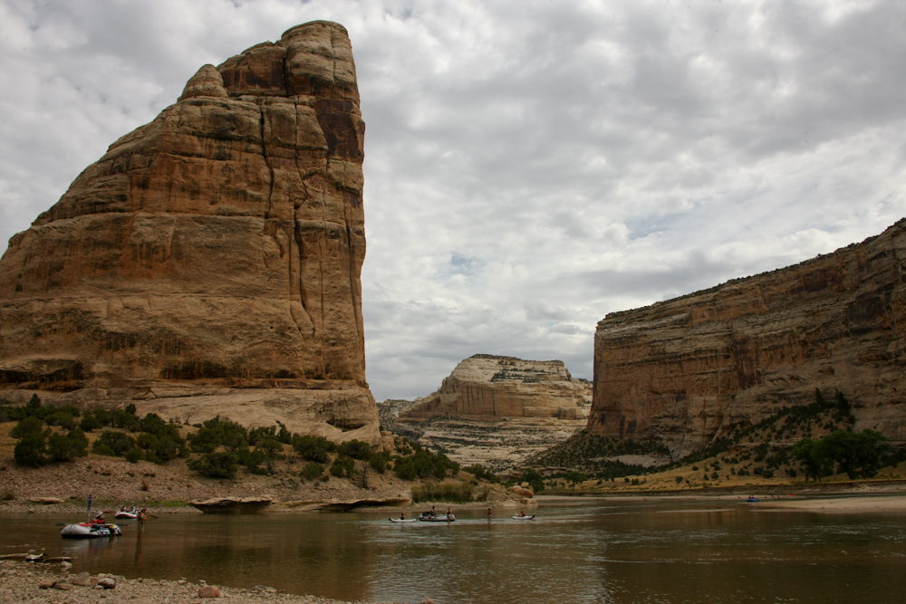
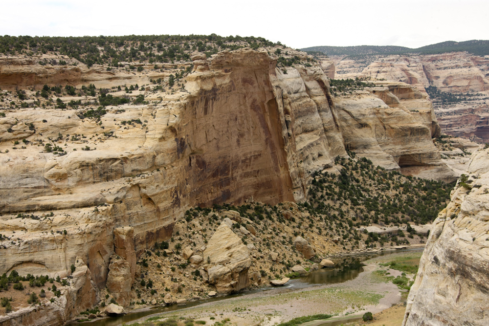
To
the northwest the Green River turned north leaving a huge cliff at
the bend.
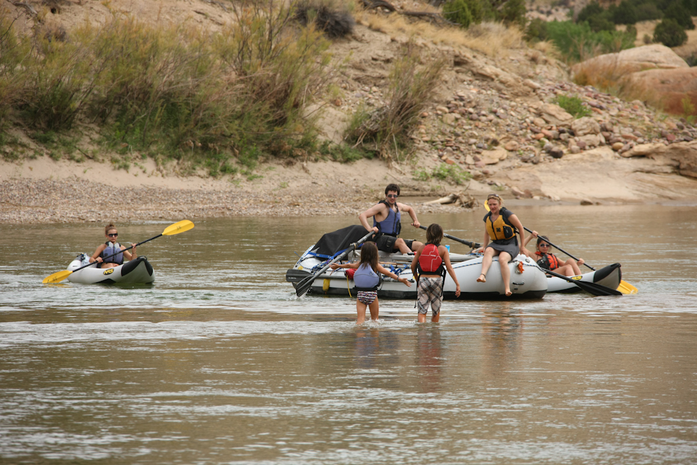
Many
of the rafting outfitters cater to families with small children.
The
high clounds were actually a good thing as it prevented it from
getting too hot. The water temperature in the Green River
was cool, so the lack of sunshine was causing a number of the
rafters to complan about being cold.
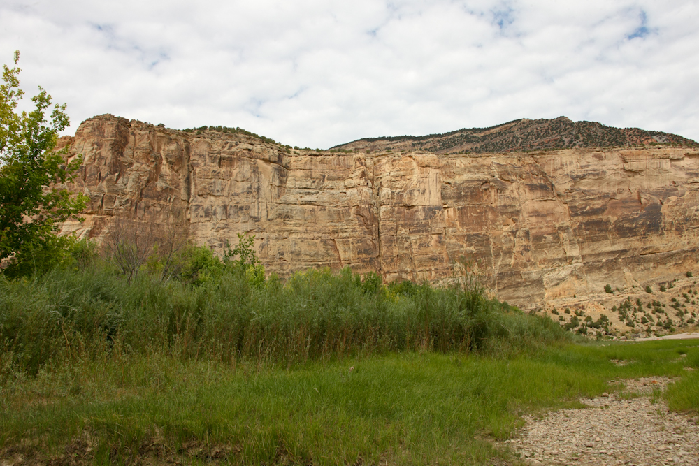
The
riverside vegetation was lush and attracted plenty of game like
the deer shown in an earlier photo.
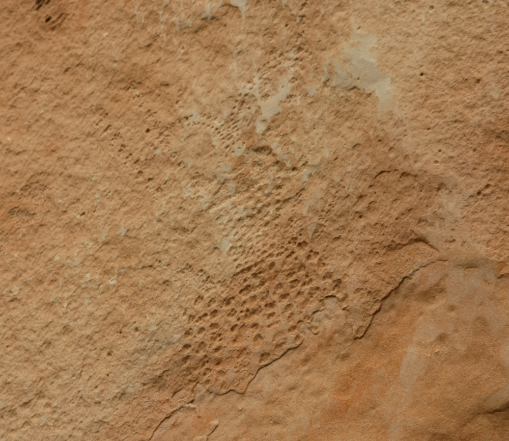
We
left Echo Park and alongside the trail was a pull-out with a sign
that said "petroglyphs". We hiked to the stream area and
found nothing obvious until we checked the sign. The
petroglyphs were about 35 feet above the ground way out of normal
view. The claim was that the streambed had eroded over time
leaving the petroglyphs "high and dry". At eye-level was
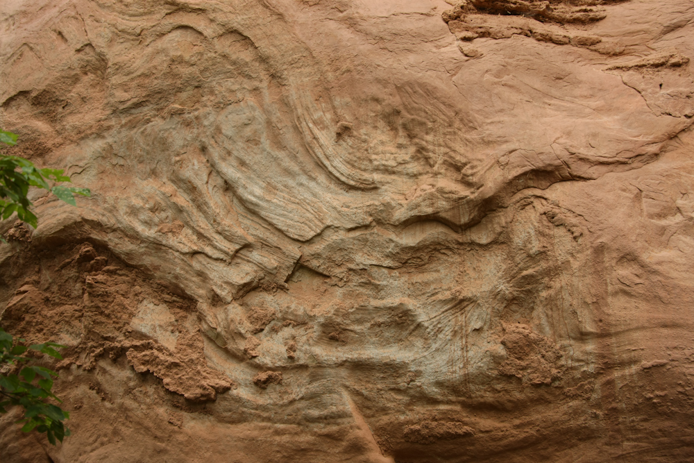
this odd pattern in the sandstone wall.
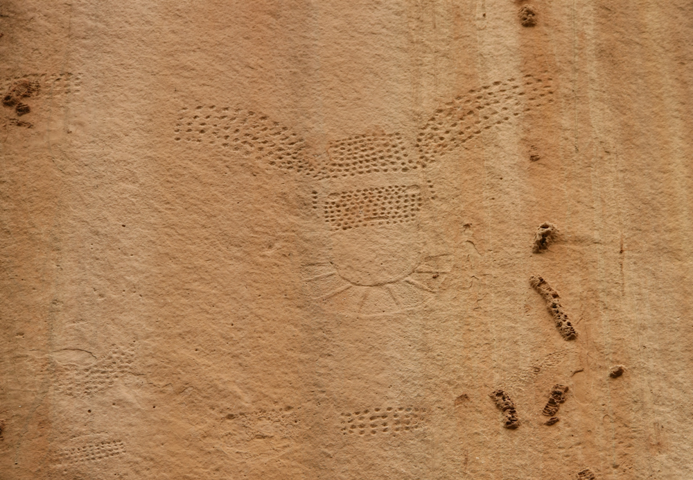
The
petroglyphs were high enough on the cliff wall that they were
nearly invisible to the naked eye. These figures were of the
"pecked and carved" variety.
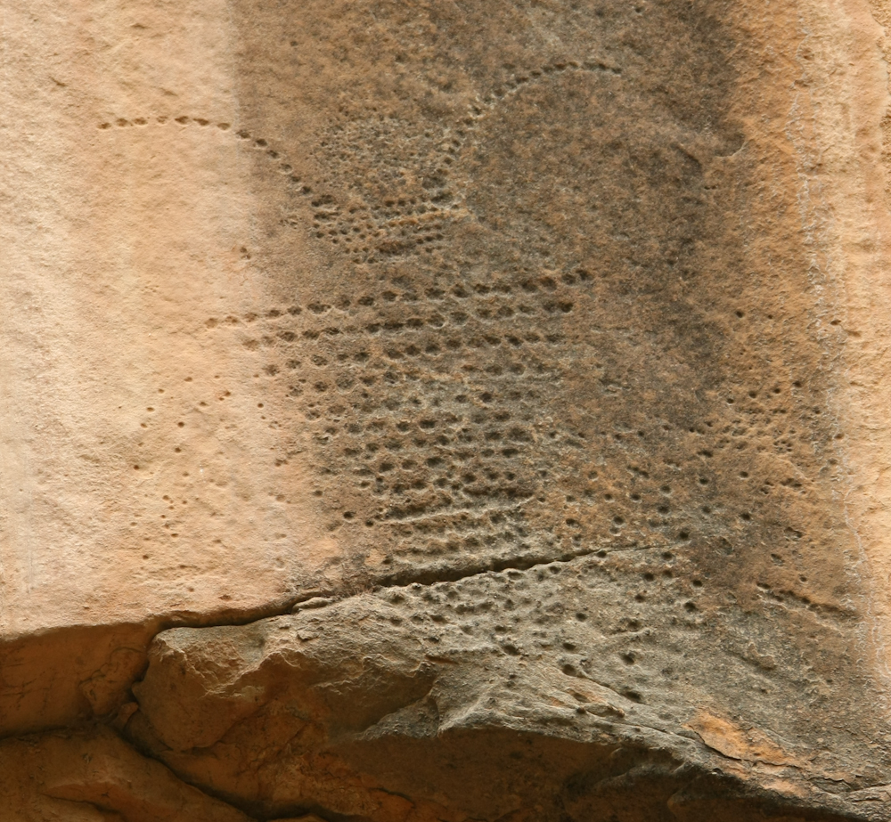
This
is either a stone art representation of a bug or an
extraterrestrial being.
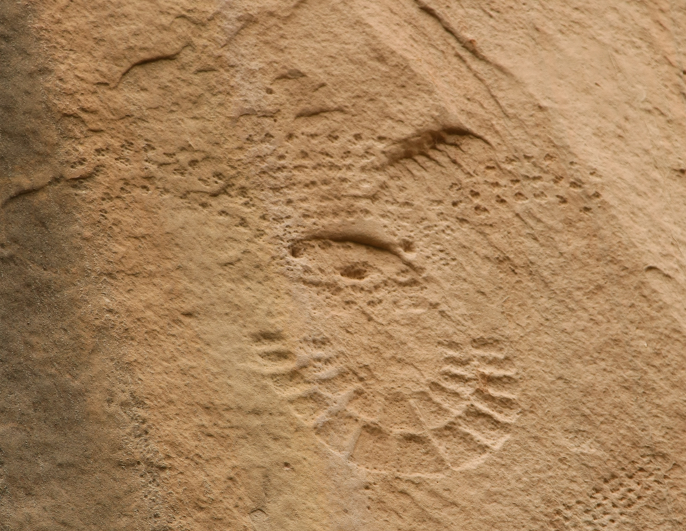
This
petroglyph had suffered quite a bit of weathering. There was
no age estimate of the petroglyph given, but the general opinion
was that they were created by the Fremont Culture dating from AD
700-1300.
Bugs
seemed to be a common theme in these petroglyphs which is quite
different from other rock art that we have seen in the west which
were primarly large mammals and shamanistic glyphs.
The
petroglyphs were behind the trees on the left of the photo
above. The narrow canyon provided a path for both a small
stream and our trail.
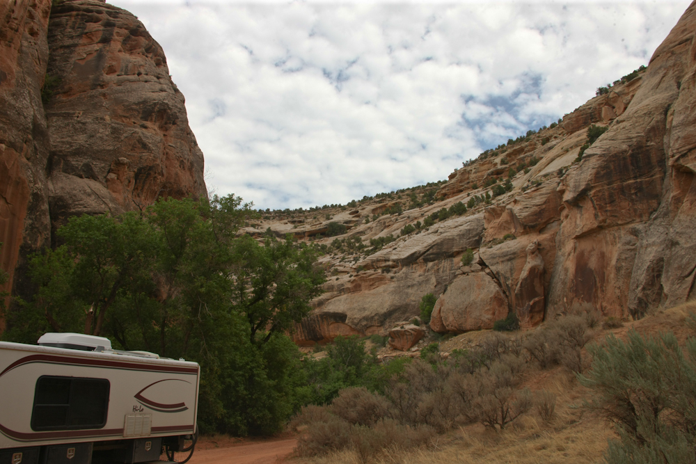
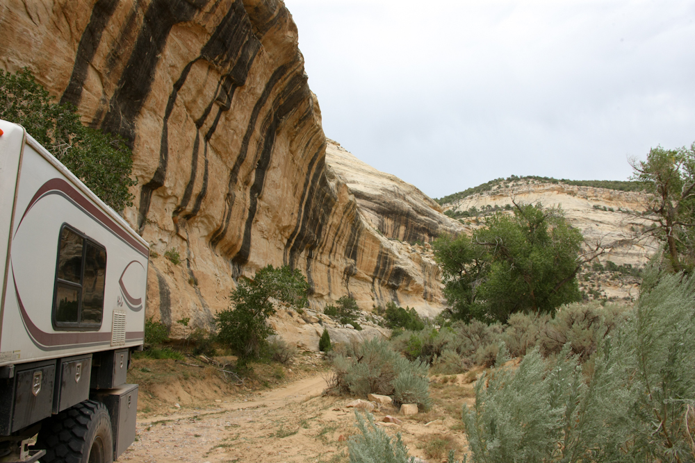
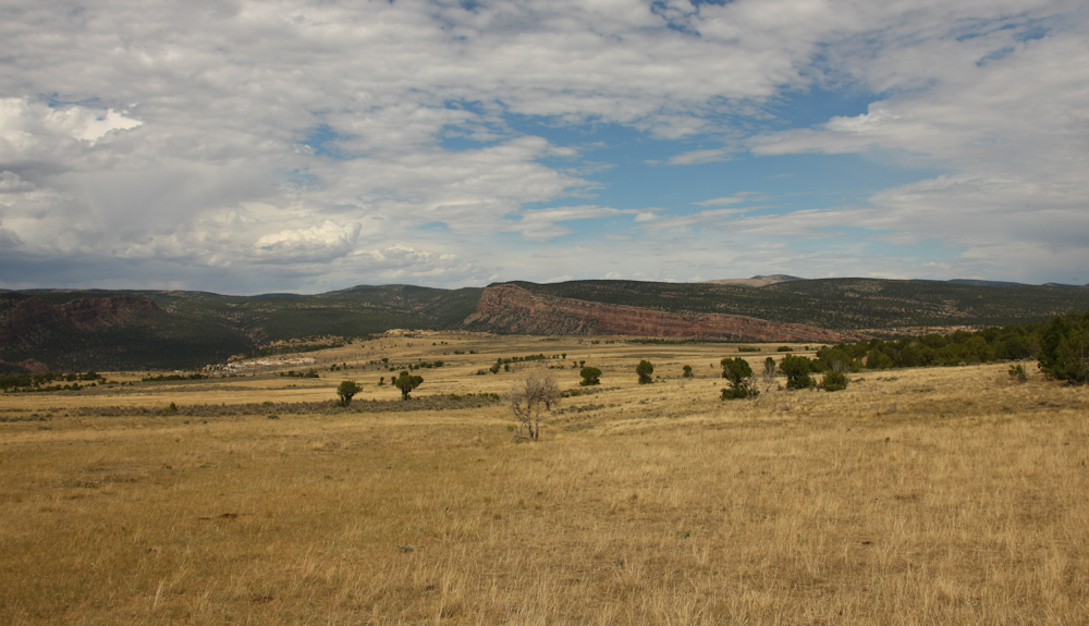
Instead
of retracing our path to Echo Park, we elected to take the long
way out to the east. Our path took us below the rugged
cliffs of the Yampa Bench.
Our
initial path to Echo Park went through the narrow slot in the
cliff wall.
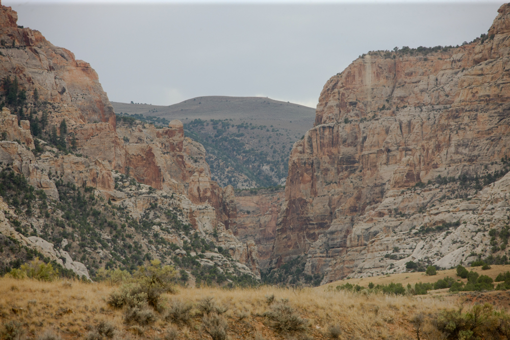
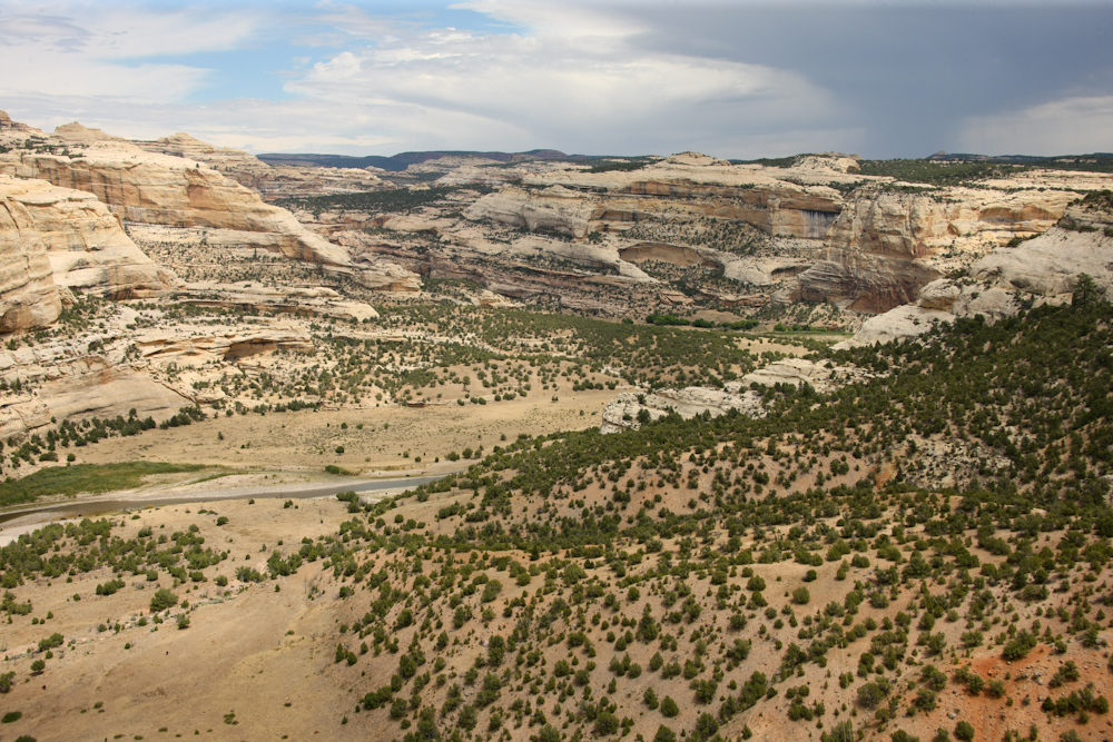
Our
first overlook opportunity was called Castle Park. It was a
very nice view of the canyon created by the Yampa River.
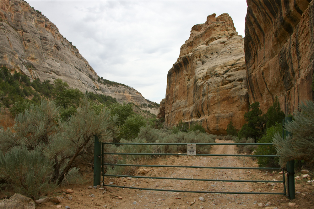
As
we traveled east on the trail, we encountered a fork in the
road. The GPS suggested that the right fork would take us to
another overlook. Instead, the narrow trail went down into
the canyon bottom and ended in a locked gate. This appeared
to be private property. Note the high canyon walls.
We
decided to fix something to eat. While we were stopped the
rancher that owned the property on the other side of the gate came
by. We chatted for awhile. It seems that he owns 160
acres of bottomland on the Yampa river. He is fully "off the
grid" and has about 3 hours of dirt road travel to get to US-40
and another hour of road travel to hit a city of any size for
supplies. He also stated that he can make a satellite phone
call "sometimes" but other than that, no communication at
all. He took some photos of Thor unlocked the gate and went
on. We finished eating, turned around and continued on.
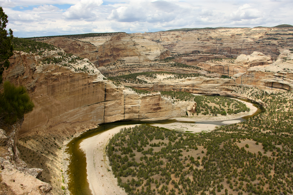
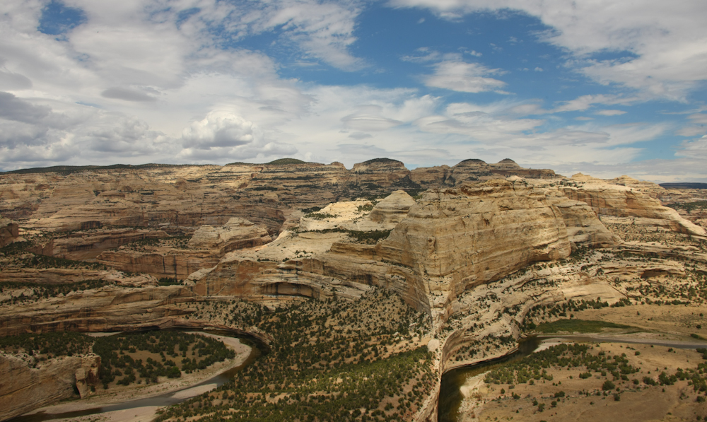
We
continued east to a place called "Harding Hole Overlook".
From the overlook, the view was astounding. The Yampa had
carved a wide canyon with its oxbows and at each turn of the oxbow
there was a huge vertical cliff. There are 5 oxbows in the
photo above, see if you can identify each of them.
Looking
to the east from the overview the cliffs from the oxbows are just
as pronounced.
Looking
due north from the overlook the lens of the camera, even at 28mm,
could not fully reveal the scope of the view.
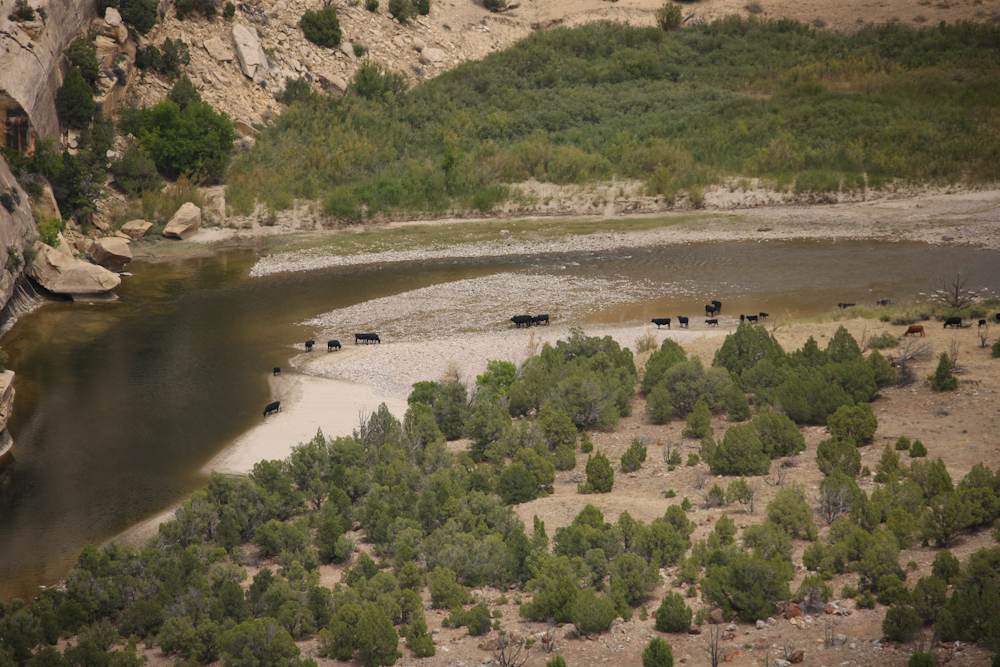
Someone,
likely the rancher that we met earlier, was running cattle in the
bottom land of the Yampa valley. No need for fence here;
those cattle, unless they can fly, are not going anywhere except
the river bottom.
Looking
to the east from Wagon Wheel point the scope of the canyon is
visible.
Traveling
further east on the Yampa Bench, we could see the uplifted mesas
to the north. The open area was recently burned resulting in
grasslands.
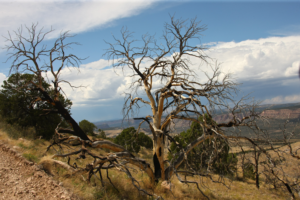
The
trail went over a high, steep ridge and this burned tree is
testament to the recent fire.
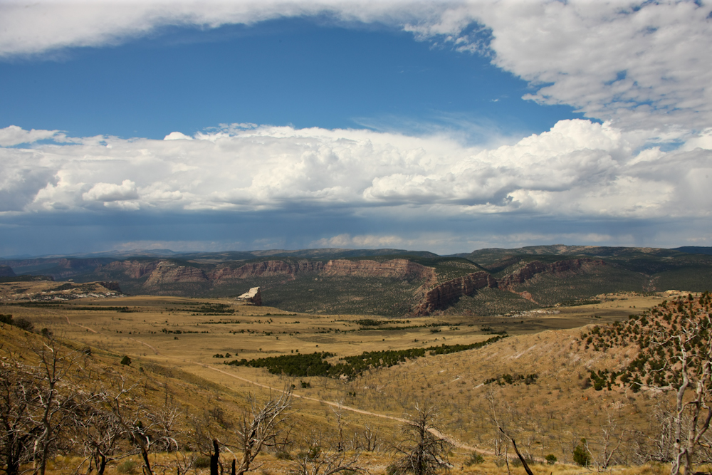
From
the crest of the ridge we got a parting view of the Yampa River
gorge before descending the south side toward US-40 many miles
away.
| Previous Adventure | ||
Photos
and Text Copyright Bill Caid 2010, all rights reserved.
For your enjoyment only, not for commercial use.