The wind blew hard all night, but thanks to the camper, we slept well. We broke camp in Snow Canyon and headed north through Pine Valley, over Iron Mountain and to the Kolob Terrace. The photos below are what we saw.
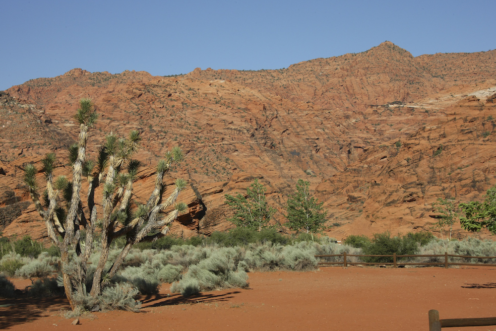
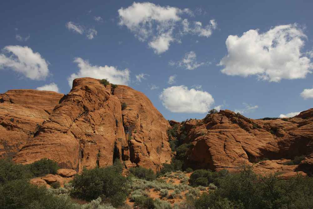
The morning broke clear, but still windy. The bright sun provided a clear view of the colorful red sandstone to the west of our camp site.
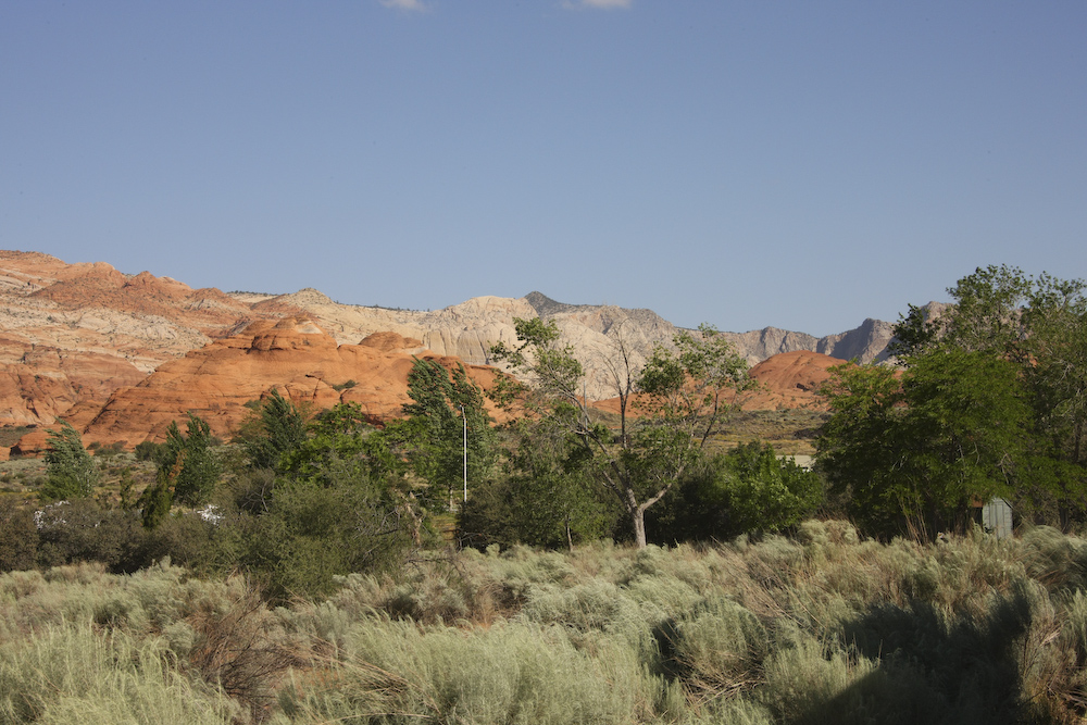
In the distance, to the northeast, the white sandstone cliffs were visible.
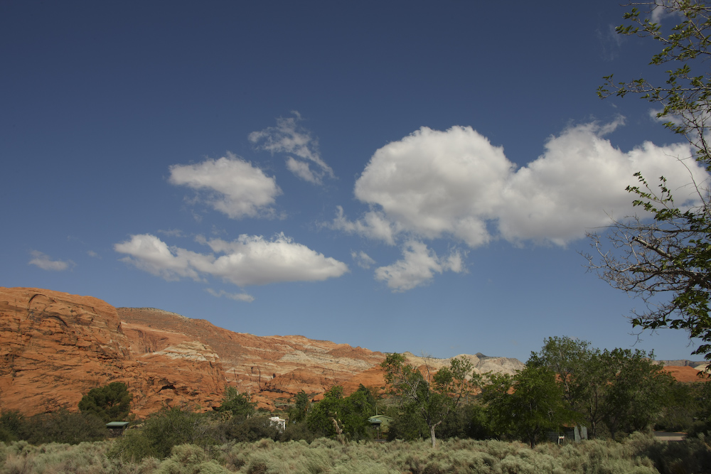
The continuing wind blew in puffy clouds. The camp area it Snow Canyon has a number of nice trees that were supported through active watering by the park support crew.
The cottonwood trees on the left were near a small watercourse, currently dry.
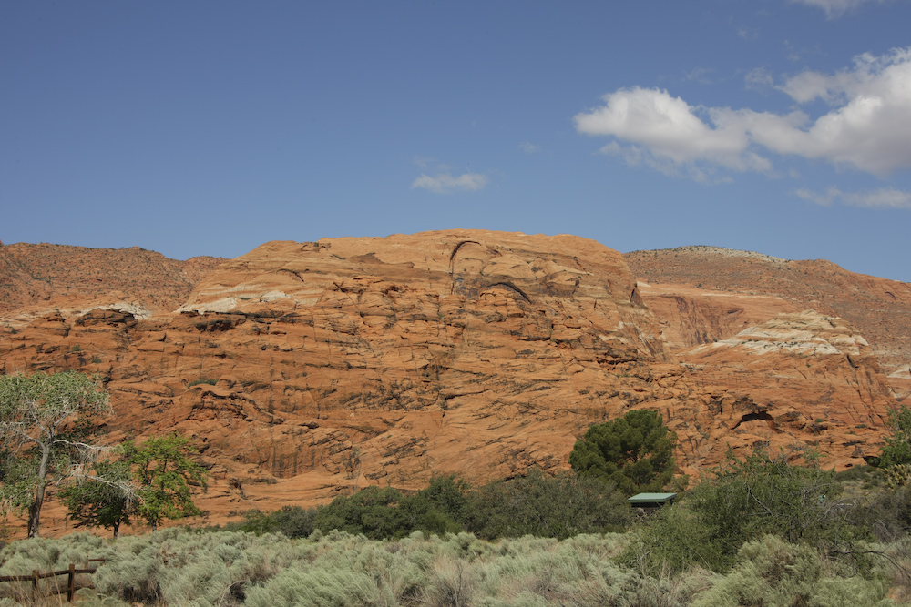
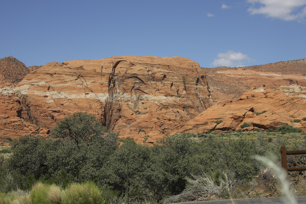
These cliffs were wind-blown sand dunes in their previous life. In the photo above, the bedding patterns are clearly visible.
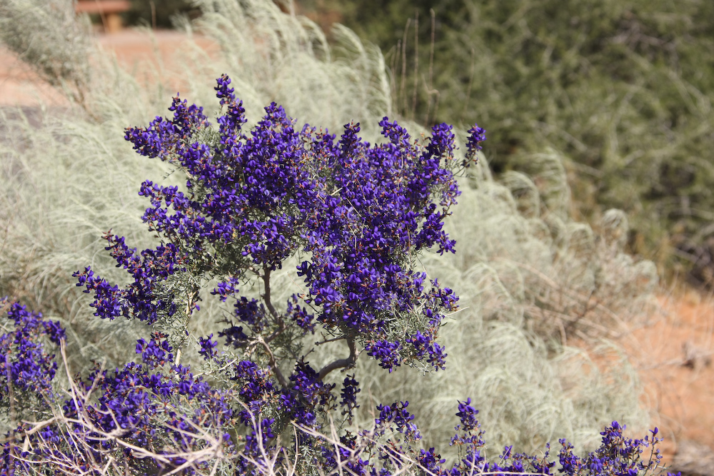
The Indigo Bush were in full bloom providing brilliant purple flowers.
The white sandstone banding provided a nice contrast to the red background.
The erosive action of the freeze-thaw and wind-blown sand exposes the cross bedding of these ancient sand dunes now frozen in stone.
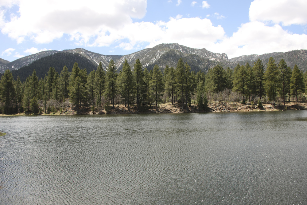
Once we broke camp at Snow Canyon, we headed toward a range of 9,000 foot peaks north of St. George. This area, known locally as "Pine Valley" was within the Dixie National Forest and contained snow-covered, forested peaks and man-made lakes. There were some folks fishing in the lake, but the strong winds combined with 8,000 ft altitude made it too cold (for me).
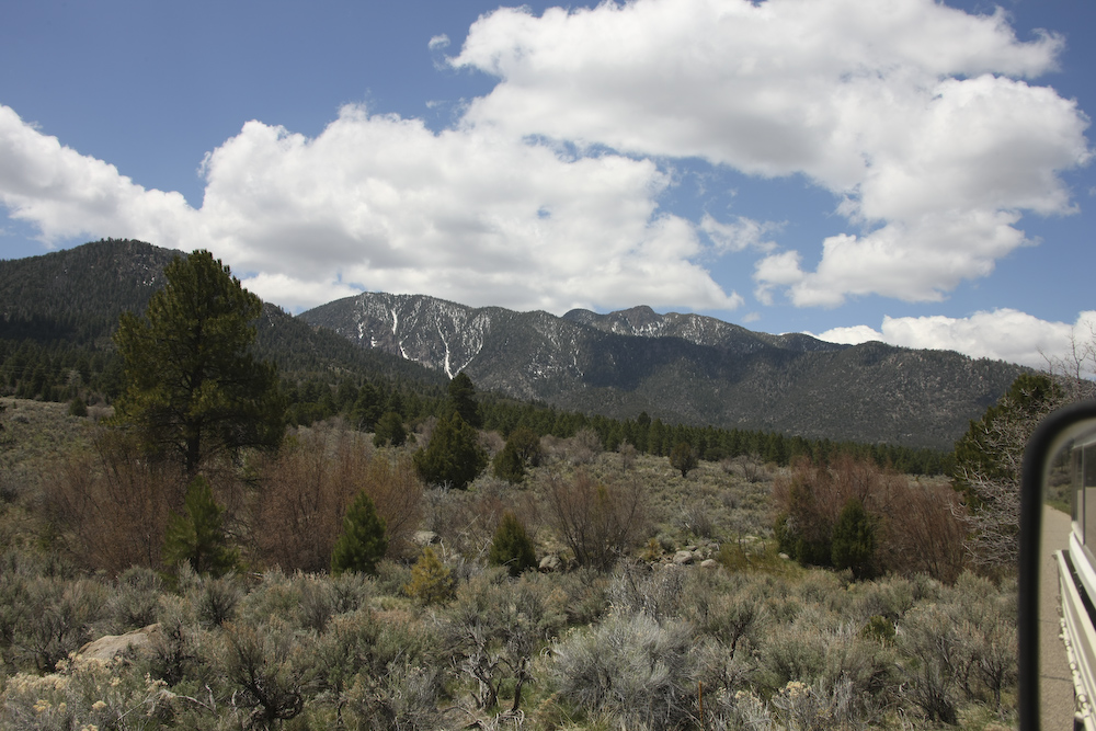
The avalanche runs on the side of the mountain were clearly visible from the road.
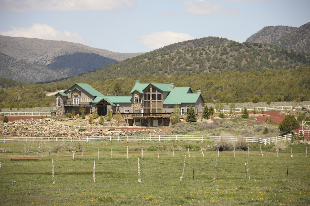
There were some "small cottages" in the Pine Valley area. This, however, was not one of them. I asked some of the locals about the large homes we saw in the area and they said that they were likely owned by "rich folks from Las Vegas". The place above was so big I thought it was a hotel.
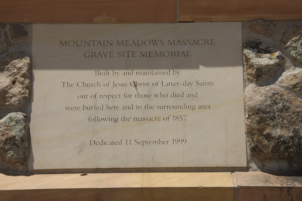
We left Pine Valley and headed north toward Cedar City on UT 18. Along the way, we passed the site known as Mountain Meadow. At this location, there was a politically charged event that happened in 1857 that became know as the Mountain Meadows Massacre. Two photos below shows the "politically correct" description of the event, as described by the perpetrators, the LDS.
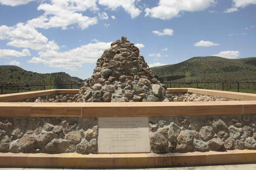
The LDS maintain this monument to the event close to the actual site of the killings.
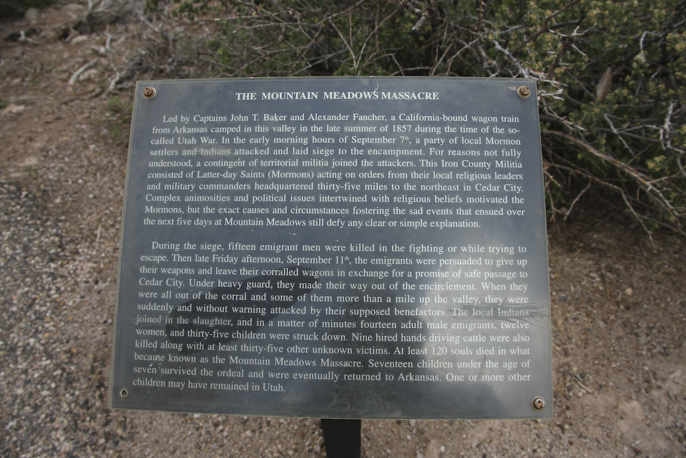
This sign tells one version of the Mountain Meadow Massacre. For another description, see Jon Krakauer's book "Under the Banner of Heaven".
From Mountain Meadow, we headed north, then east toward Cedar City and then toward the Kolob Terrace via UT 14. Just outside of Cedar City, we turned south on Kolob Road. This road is very steep, more than 8% in some sections, but allowed us to ascend the face of the cliffs to nearly the top of the Kolob Terrace. Once near the top, we had great views to the east, west and north. The photo above shows the view to the east-northeast with the structures that comprise Cedar Breaks National Park visible.
The tops of the peaks still had substantial snow. Indeed,our forward progress later in the day would be impeded by snow banks over 8 feet high.
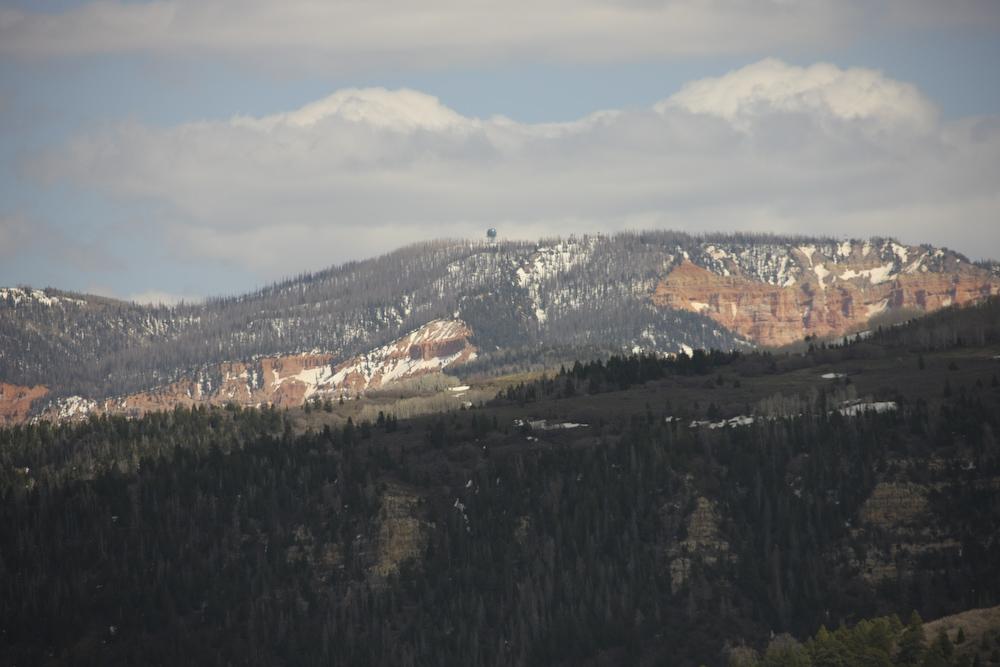
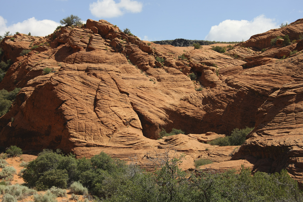
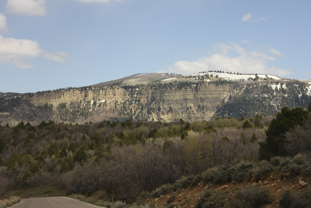
The geologic formations in this area are prone to steep cliffs and interesting erosion patterns. A government radar dome is visible on the far ridge.
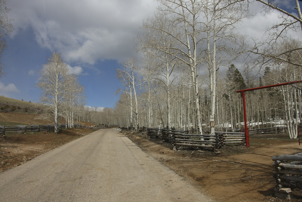
Further up Kolob Road we passed large pastures bounded by field fences. Spring comes late to the high country, these Aspen trees were still hibernating. At this point, we were at about 9200 feet elevation.
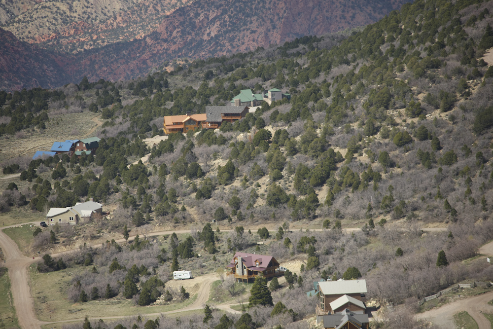
On the western flanks of the ridge were many nice houses with awesome views of the valley floor to the west.
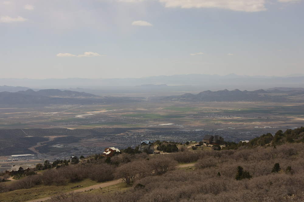
As you can see, these homes have a commanding view of the valley to the west. In the valley, the structures that comprise Cedar City can be seen. Just a bit further down the road, we passed a county road crew transporting a bulldozer. Seeing the unimog, they were anxious to "talk trucks" and told us that the road ahead was blocked by deep snow and would be un passable, even to the 1300. So, discretion being the better part of valor, we turned around and headed back to St. George for dinner with some friends from San Diego who recently moved to the area.
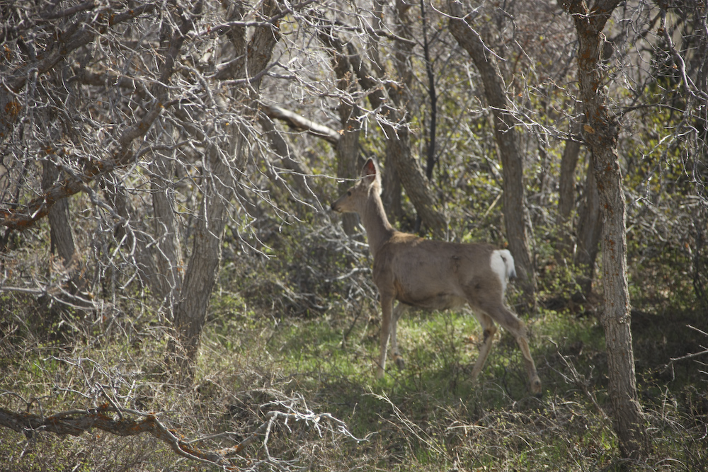
The area on the top of the Kolob Terrace is heavily wooded and supports a large population of deer. This one was not particularly afraid of the noise of the truck and stuck around long enough for a photo.
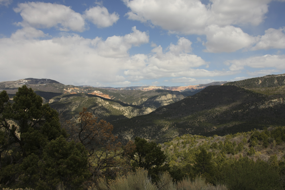
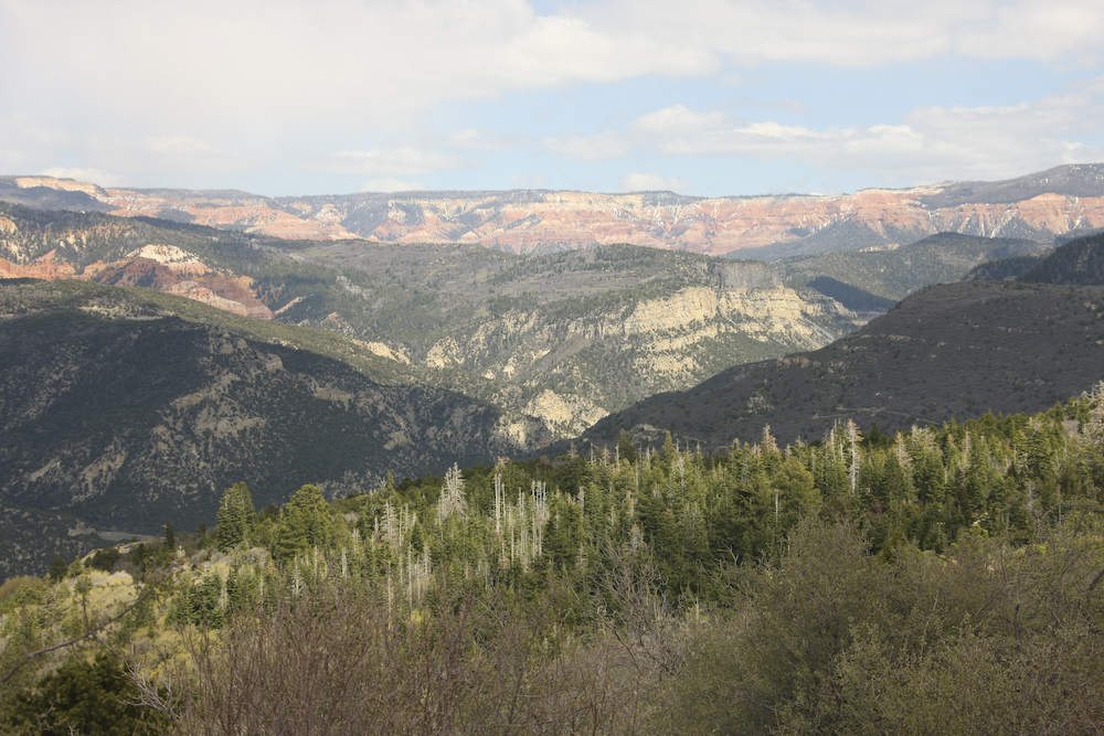
Descending the north flank of the terrace gave us a great afternoon view of the area know as the Markaguant Plateau.
After meeting the county road crew, we decided to declare an early end to the day and head directly back to St. George. Unlike the previous night, we decided to go to a motel and get cleaned up for our dinner date. Dave and Christine, neighbors from down the street in our neighborhood in San Diego, moved to the St. George area earlier in the year and we were anxious to see them and catch up. We had a great dinner at one of the nicest restaurants in St. George, the Painted Pony. Tomorrow, we would again attempt to cross the Kolob Plateau, albeit at a lower altitude. Sadly, we would meet with the same result.
| Previous Adventure | ||
| Trip Home Page |
Photos and Text Copyright Bill Caid 2008, all rights
reserved.
For your enjoyment only, not for commercial use.