We spent the night in Needles, CA in a motel and then headed north on US 95 toward Lake Mead. Our destination for the day was St. George, UT with a planned camp in Snow Canyon. Our path would take us past Lake Mead and Valley of Fire State Park in Nevada. The photos below are what we saw.
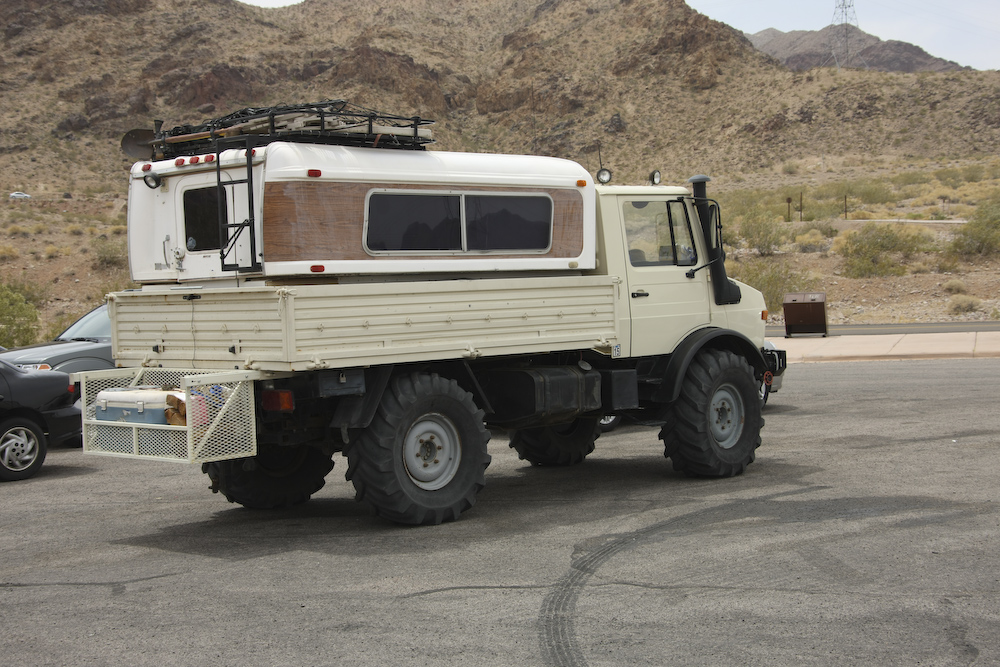
We parked the unimog to shoot some photos of Lake Mead. The truck performed well to this point and the cargo basket on the back was a great accessory. Dave and Sharon gave us several bundles of wood that we took along, but never used.
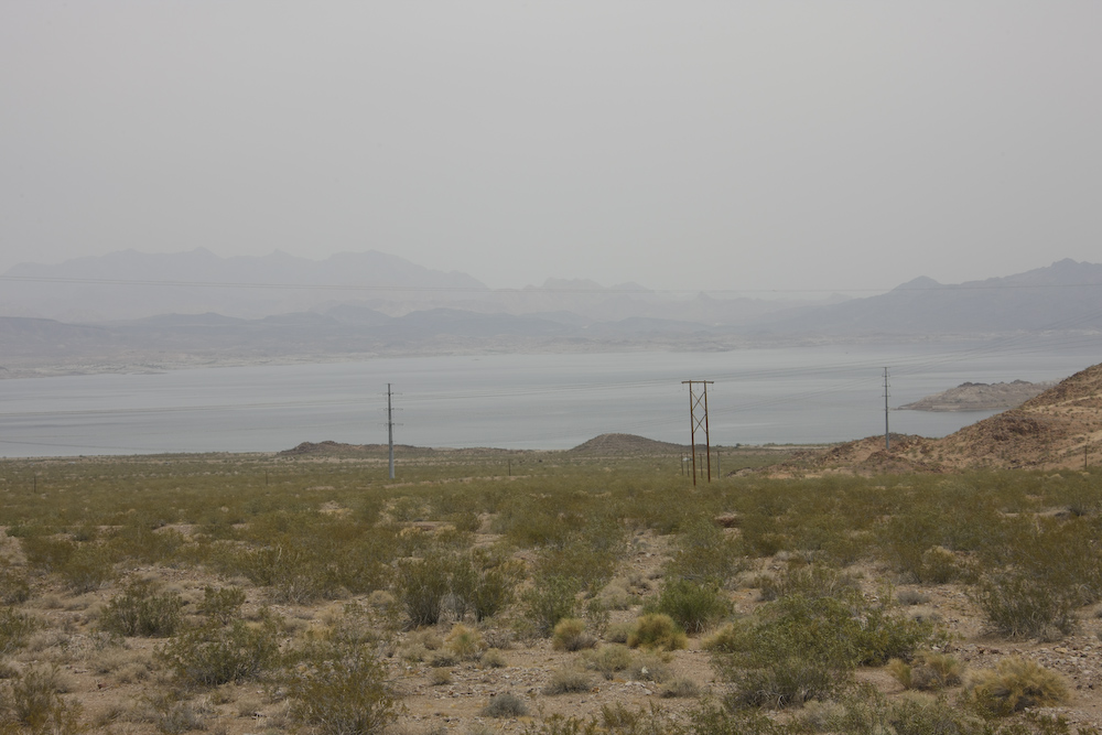
From the overlook, we had a commanding view of Lake Mead. The west has been in an extended draught. There has been below normal rainfall for more than 10 years and usage continues to grow. Lake Mead is many hundreds of feet below "full pool" and a recent estimate suggest that under current rainfall/usage patterns, the lake will be empty by 2015. If this becomes reality, that will be really, really bad for the American West. Los Angeles, San Diego and Phoenix rely heavily on this river for their drinking water. Additionally, the agricultural hotbeds of the Imperial and Coachella valleys are totally dependent on imported water. This crisis is much worse and much more immediate than $5/gallon gas, but few people are aware of the issues. If you are interested, I strongly suggest getting a copy of "Cadillac Desert" by Marc Reisner. This book, written many years ago, details the issues and the history of the fight for water in the west. It is a great book and I have read it several times. In the photo above, the historic high water marks are barely visible on the far side of the lake. But, the island at the right of the photo gives an indication of where the water level has been.
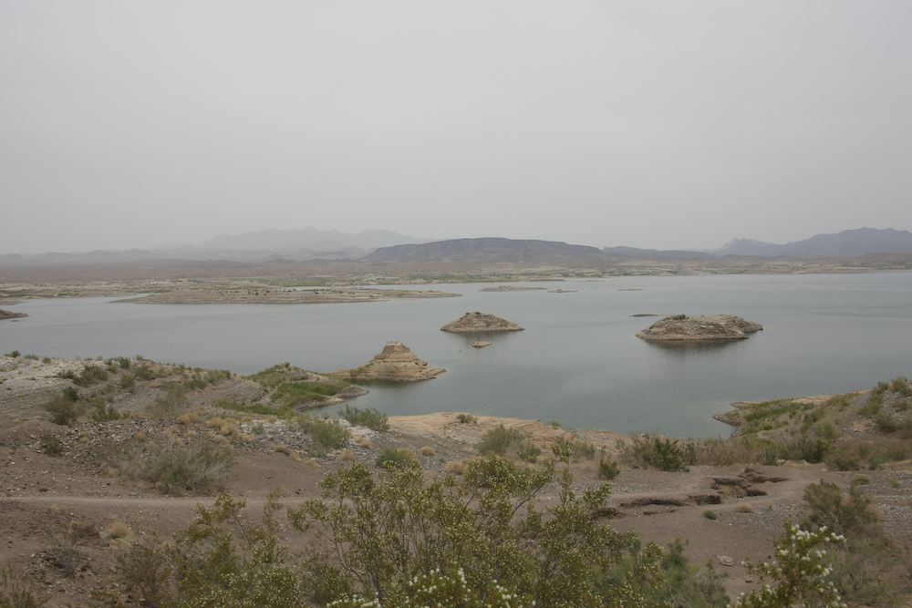
Further up the road, we stopped at another overlook. In this photo above, the extent of the water depletion is more visible. All the islands in the foreground were under water and are now exposed.
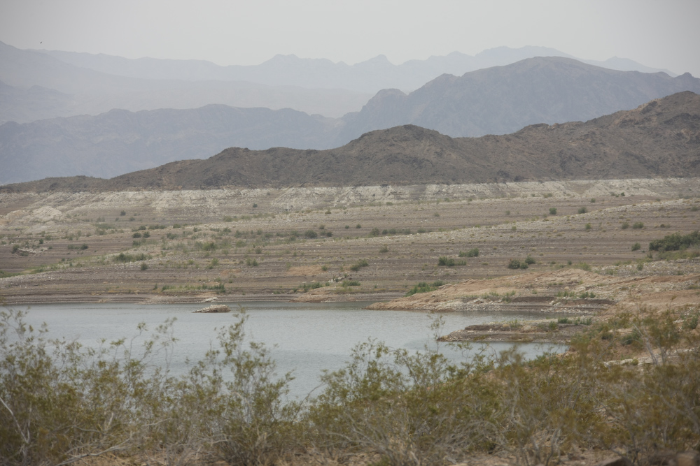
The shot above shows the drop in water level clearly. The lake is about 150 feet below full pool and dropping fast. One foot of water depth at full pool is much more water than one foot 150 feet lower. This is because the lake sits in a canyon that is wider at the top than the bottom. Therefore, assuming a constant usage rate, the level will drop faster over time.
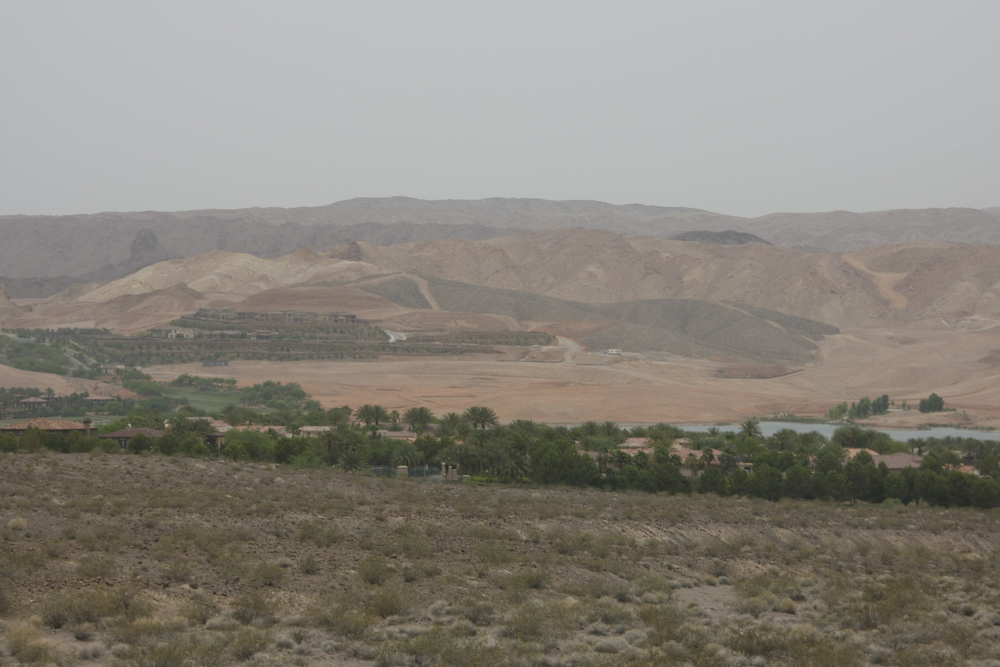
The photo above shows the Reflection Bay and Southshore Golf Clubs on Lake Las Vegas. The water in the foreground of the photo is the man-made Lake Las Vegas. The presence of all that greenery and watered lawns in the middle of an arid desert blows my mind. This sort of life-style will come to an end in the near future, that seems certain.
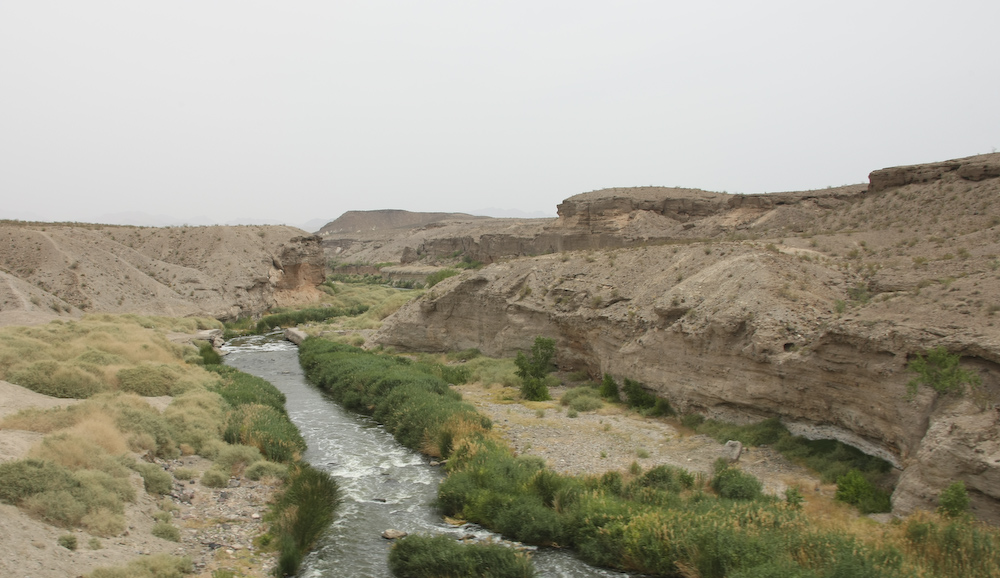
This is the outflow from Lake Las Vegas into Lake Mead just below. Note that the vegetation exists only within a few feet of the water line due to the poor permeability of the soil.
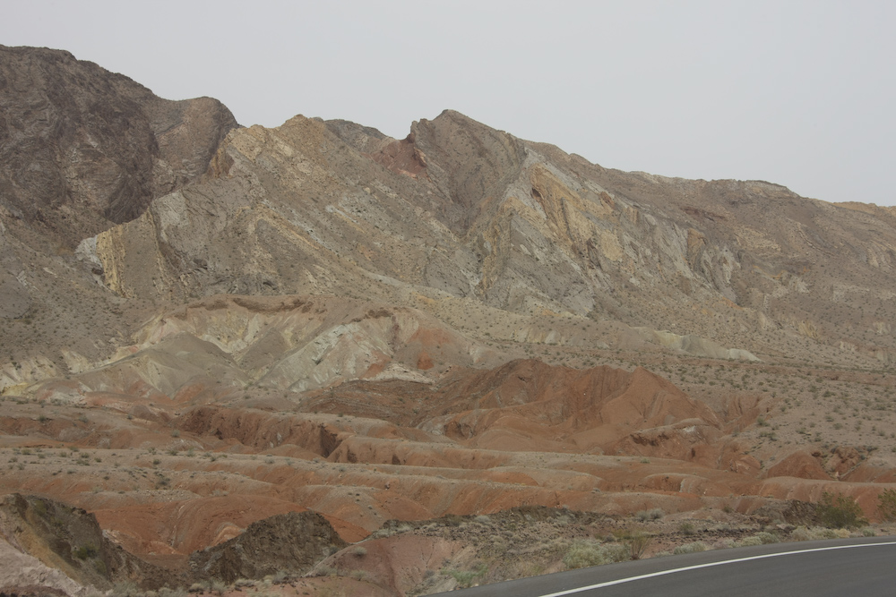
Like much of the west, the area around Lake Mead is geologically tortured. Here, the uplift and warping of the rocks are clearly visible.
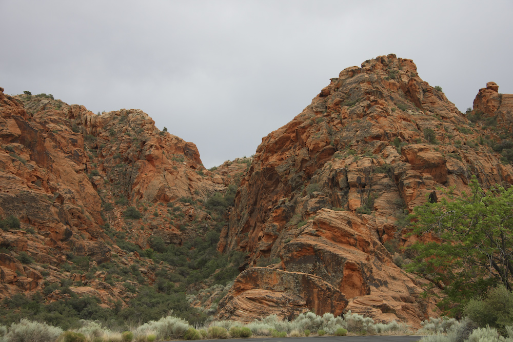
Further north, near Valley of Fire, sandstone outcroppings started to appear. The wind and sand erode the rock into interesting patterns.
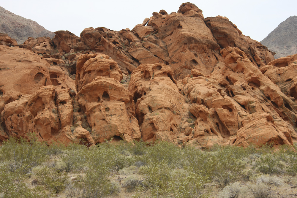
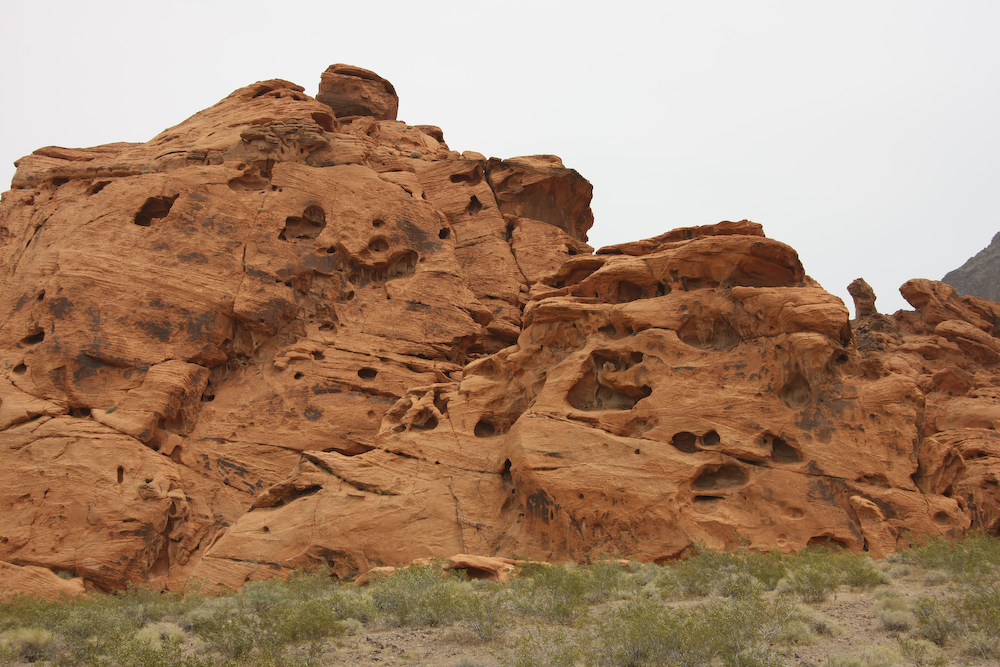
Many wind caves were eroded into the face of the rock.
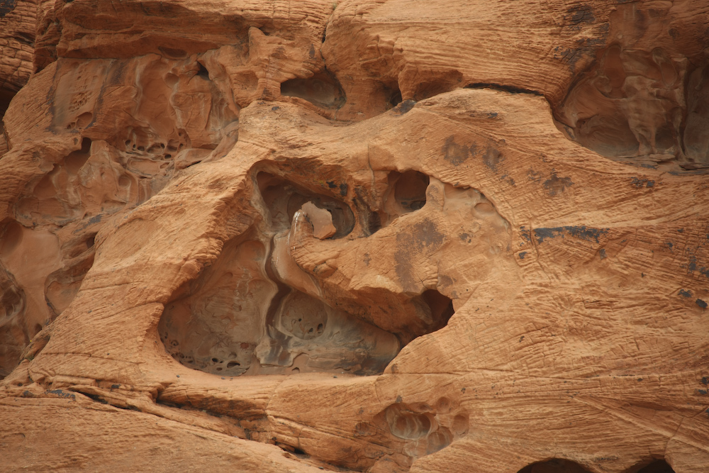
The action of the wind resulted in caves within caves within caves. This sandstone was from ancient sand dunes as can be seen from the bedding patterns in the face of the cliff.
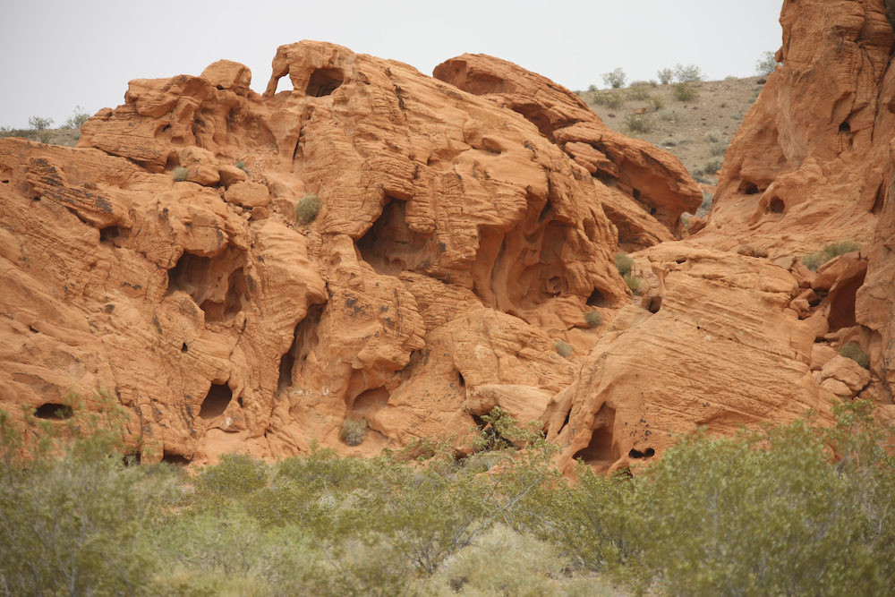
The wind erosion resulted in mini-arches and windows being eroded in the sandstone cliffs. The arch can be seen in the upper left of the photo.
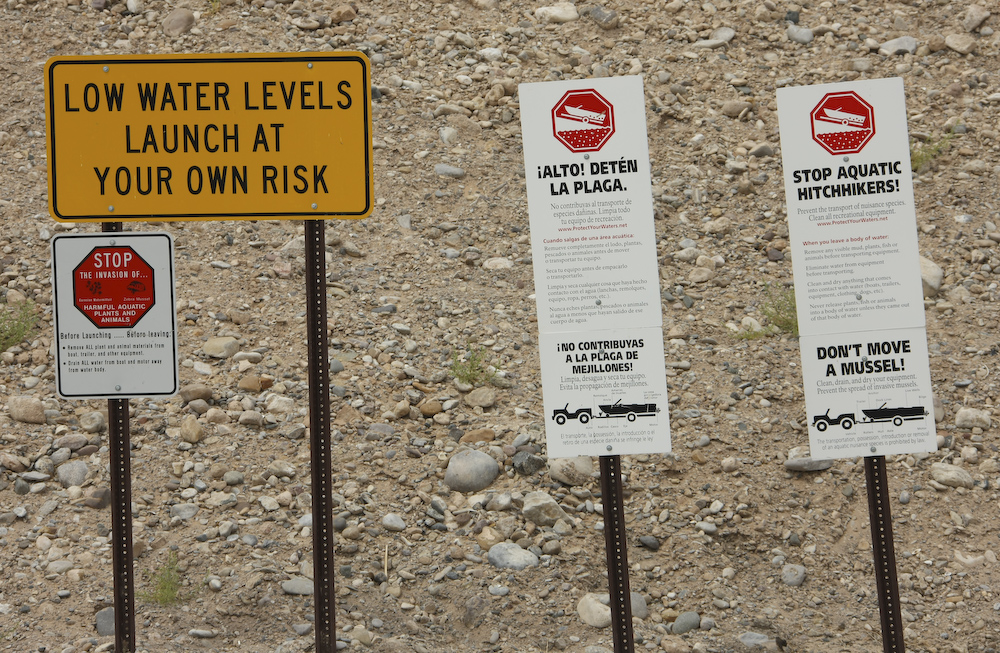
The sign pretty much tells the story. The water level is SO far down that the end of the launch ramp is in the mud. See next photo below. In addition, the lake has been invaded with some kind of fresh water mussel that is causing ecological havoc.
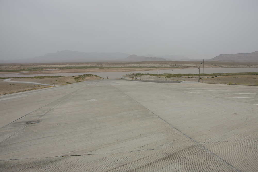
This photo above shows the extent of the water drop. The dock is the small spot at the end of the concrete launch ramp.
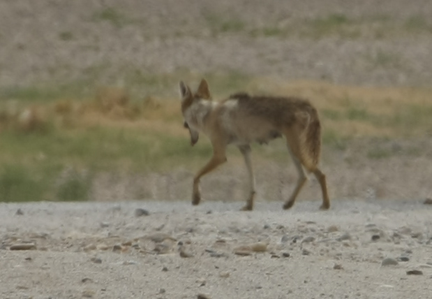
The image of this female coyote is distorted due to the heat shimmering off the hot ground. But, despite the distortion, it is clear that this is one, very skinny coyote. Note the emaciated hips and the irregular fur patterns resulting from mange. I am guessing that these animals feed off of food left by campers in the area. But, since the lake water level is so low, most folks are not camping here anymore. The resulting scarcity of food clearly impacts all the animals in the area.
We left the Lake Mead area and headed north on I-15 to St. George, UT. STG is one of my favorite areas. In addition to being the gateway to Zion National Park, there are many other interesting geological structures in the area. One of my favorite camping areas is Snow Canyon. In the old days, Snow Canyon was in the boondocks. But now, given the high growth rate in STG, the entrance to the canyon is literally in town. But, once you get into the park, you are not aware of the city just beyond the canyon. Above is the view from our camp site. Since we arrived late, we were lucky to get a site at all.
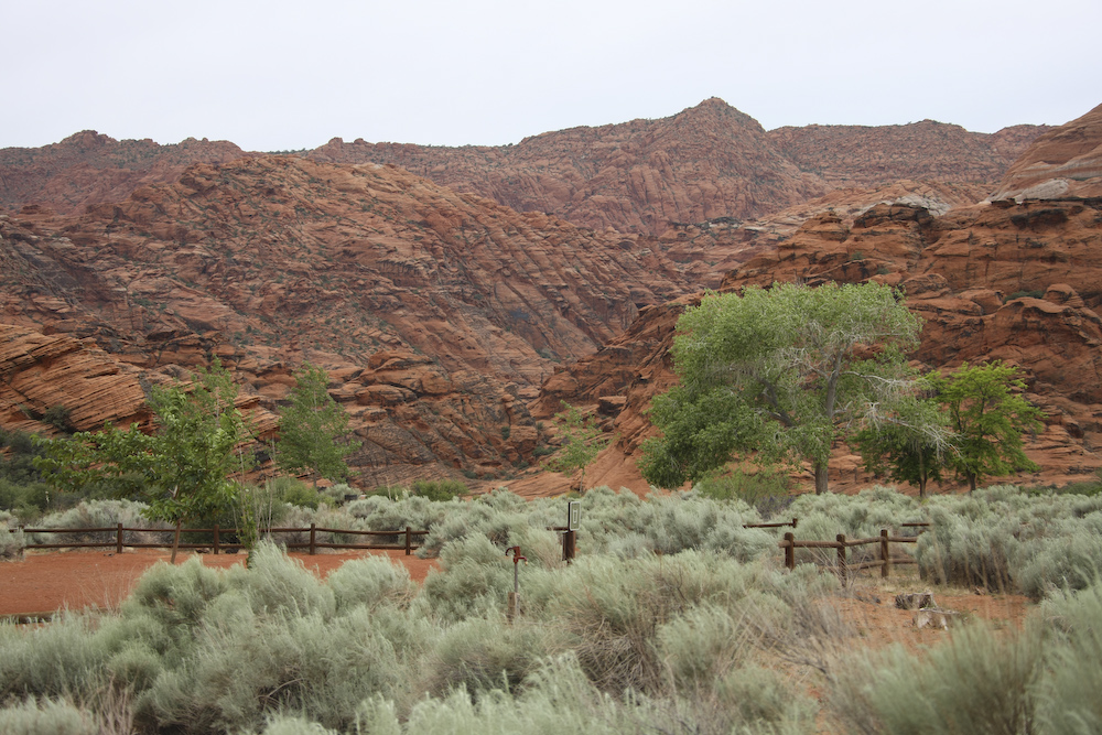
Looking to the west from our camp site across Snow Canyon.
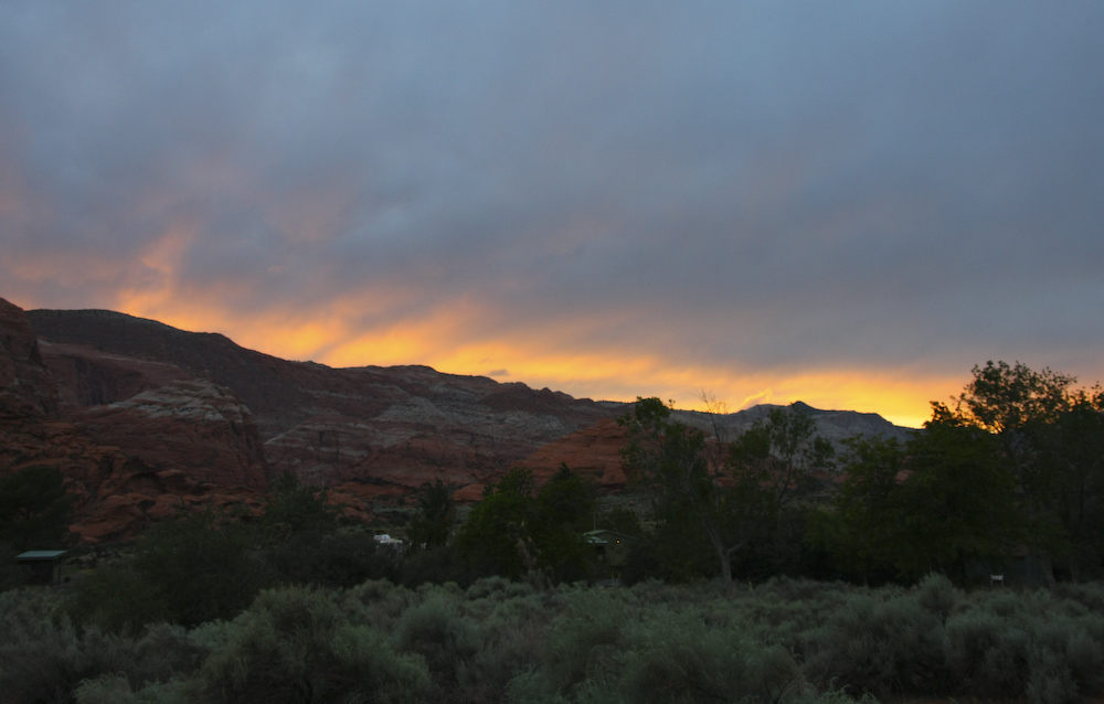
It had been gray, overcast and windy all day. But, the clouds broke just before sundown providing us with a mini-sunset.
We had a great night. The wind was strong and the camper was rocking quite a bit, but we slept warm and well. Next day, our plan was to tour the area around Cedar City, Pine Valley and head over the Kolob Terrace back into St. George. Nature would impact our plans, but it would only be an inconvenience.
| Previous Adventure | ||
| Trip Home Page |
Photos and Text Copyright Bill Caid 2008, all rights
reserved.
For your enjoyment only, not for commercial use.