Once we broke camp in Hawk Canyon, we headed north across the Borrego badlands toward the town of Borrego Springs. The photos below are what we saw.
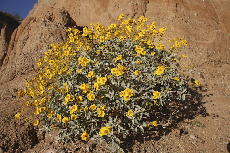
Spring had come to the Borrego desert. Here, a Brittlebush is sporting nice yellow flowers.
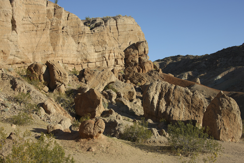
Hawk Canyon is a dead-end. We camped at one of the forks near the end of the canyon. Close to our camp was this large rock fall of debris that had spalled off of the canyon wall. I am glad that we were not there to witness this event.
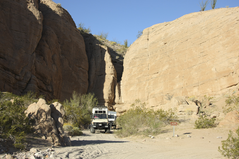
A view of both campers at our site near the terminus of Hawk Canyon. The mini-canyon in the center turns into a waterfall when it rains. Hopefully, I will not be camping there when that happens!
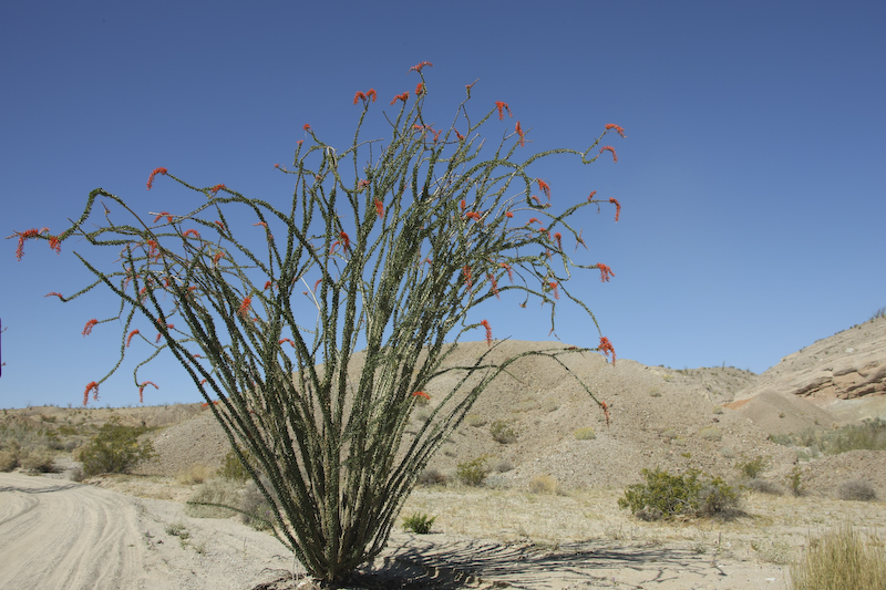
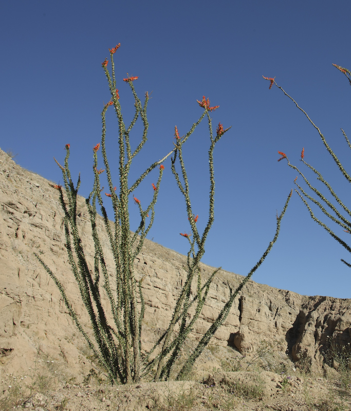
We broke camp and headed north along the ridge line toward Borrego Springs. Our path would take us down a large drop off then into a wash that would take us all the way to the town of Borrego Springs. Along the way, we spotted this healthy ocotillo that was in bloom.
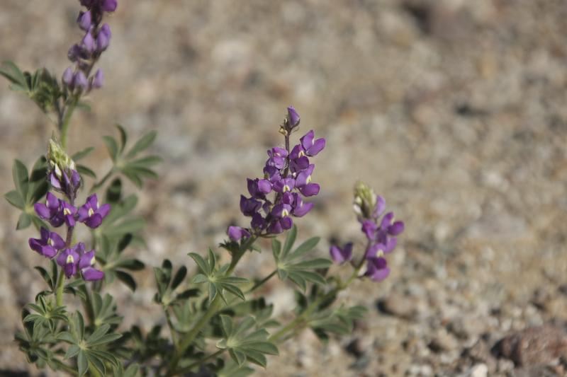
Many flowers in the area were in bloom. These are Desert Lupine (according to Desert USA).
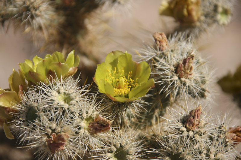
Even the most-dreaded cholla was in bloom. I hate these cactus and anybody that has had an encounter with it hates them too.
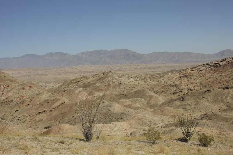
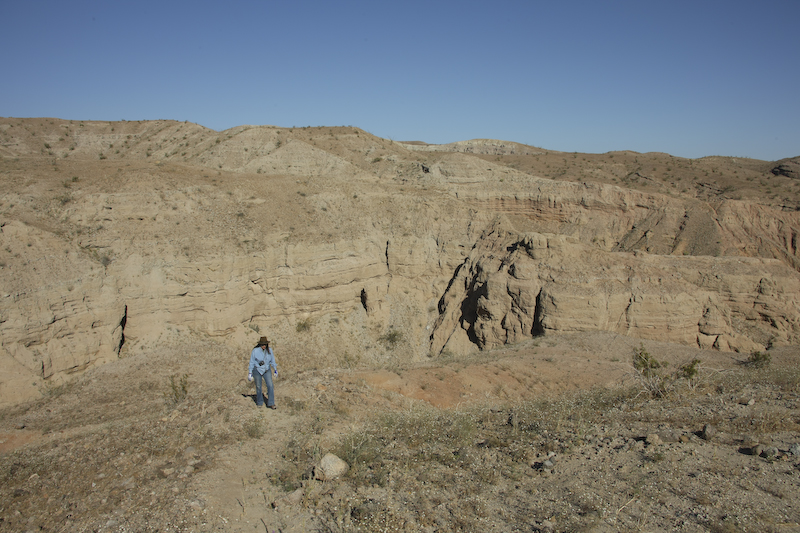
From the ridge line the Santa Rosa mountains to the north were visible. Also, in the center are the Borrego Badlands. On the right are a set of wind caves.
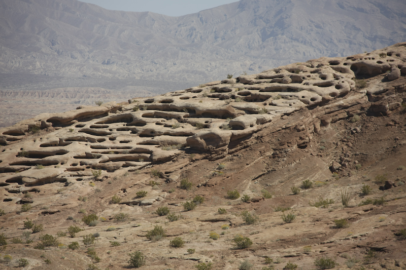
Near the drop off, the cliff provided a better view of the wind caves. Both Steve and I did the drop off without incident although I was told later that he was "somewhat concerned" during the actual event. The truth is that Unimogs can handle very rough terrain and are usually operator limited rather that equipment limited. I myself have proven that time and time again backing away from obstacles where the truck was willing but the operator was not.
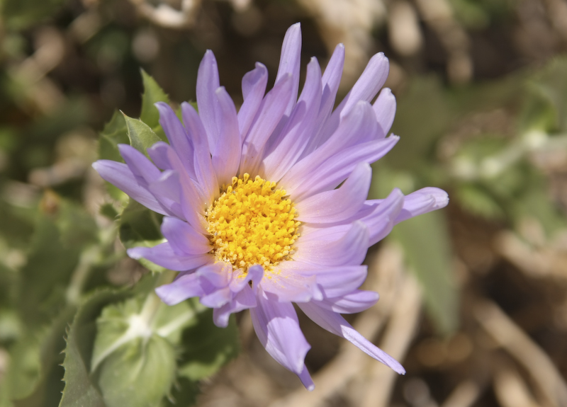
These Mojave Aster with nice pastel purple flowers were everywhere..
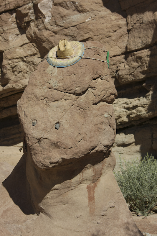
Just downstream from the drop off we spotted this fellow. This was not here a few weeks ago when we traversed this area with another group of moggers. I can only guess what the the stain is from.
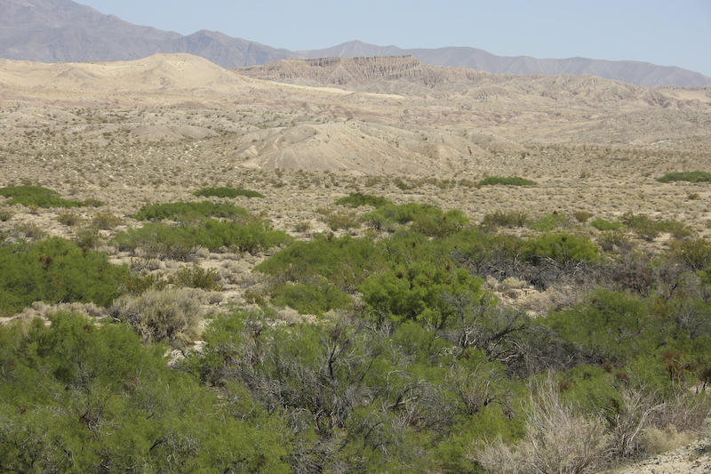
Font's Point is visible in the background of this photo. This area is near a monument to the original Anza party that went through the area in the 1700s. The mesquite trees shows that there is water close to the surface. Indeed, Anza dug wells to water his troops and animals during his journey across the desert. Once we left the desert, we went to Borrego Springs for lunch and then headed north to the Mecca, CA area. We traveled nearly the entire length of the Imperial Valley and got some nice views of the Salton Sea en route. We fueled up in Mecca and then headed east into the Mud Hills area.
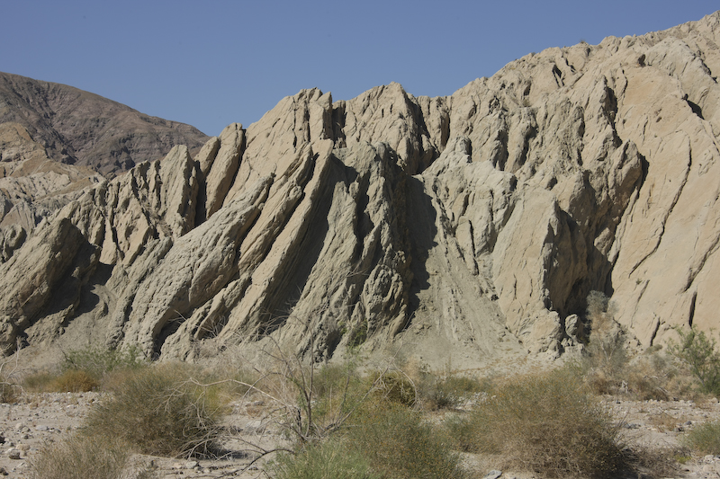
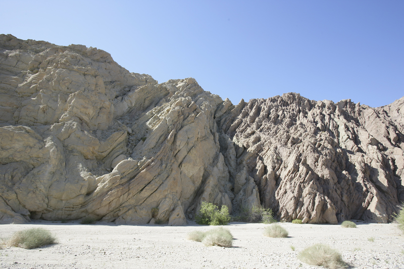
The Mud Hills are actually an area of uplift that is caused by the San Andreas fault that runs below the hills. The fault produced nice upturned beds that result in interesting cliff structures.
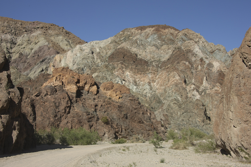
The fault and other geologic activity in the area resulted in heavy mineralization in the rock as evidenced by the coloration of the canyon walls. The road to Ladder Canyon travels through this canyon and eventually dead-ends near the trail head.
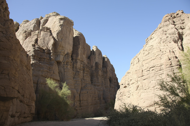
The path up the main canyon was an easy hike. The entrance to Ladder Canyon was perhaps 1/2 mile up this wash.
The entrance to Ladder Canyon is hidden behind this rock fall. We nearly missed it and were it not for the small sign on the opposite wall of the canyon, we would have just kept on walking right past it.
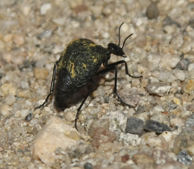
Along the way, we passed this fellow. I am sure that it is a kind of beatle, but I have never seen something like this before.
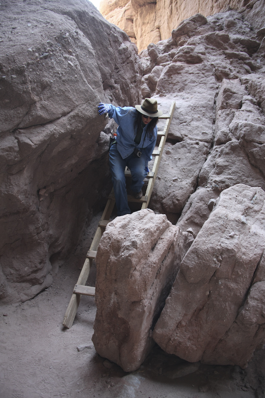
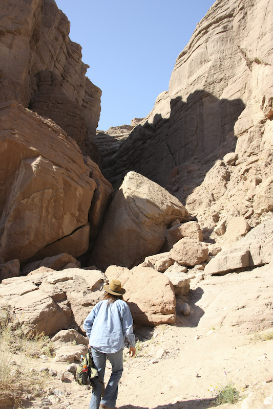
The reason behind the naming of the canyon was soon revealed to us. There were several sets of ladders that were needed to be able to get past steep obstacles. Here, Kathleen descends the first ladder past the rock fall into the narrow base of the canyon.
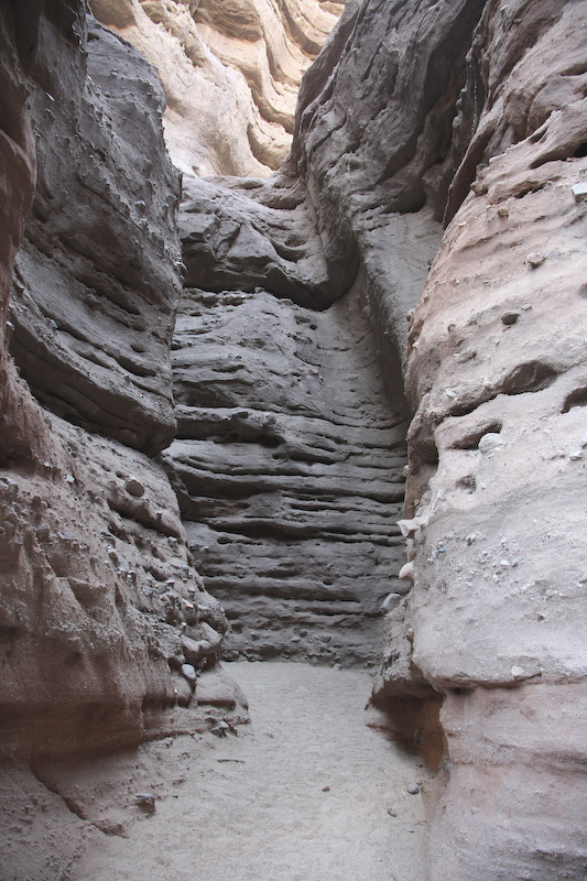
Ladder Canyon is a slot canyon that has been eroded into the mud hills and soft sandstone rocks. In some places, it is only a few feet wide. In most places, it is very dark and made me realize that I should have brought a flash camera.
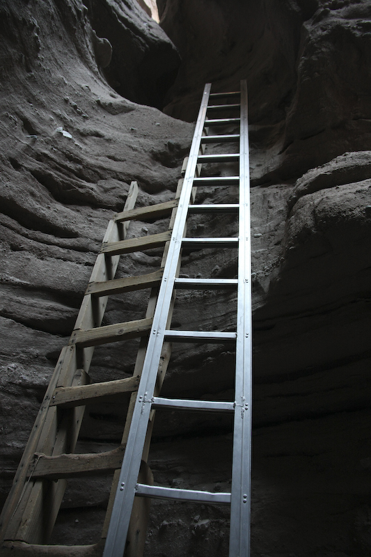
The second set of ladders ascended a steep face to get to the next level. Note the old worn wooden ladder on the left.
Kathleen makes it up one of the steeper sections.
We made it to the top of the canyon rim and when we got there, the ocotillo were in bloom. However, there were not many of them as the mud hills are very, very barren.
The view from the top of the ridge was nice, but the views to the south were impacted by the dust in the air from farming in the Imperial Valley.
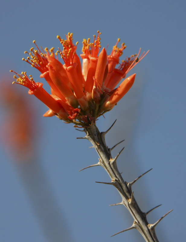
The ocotillo were in bloom and sport nice, bright red flowers during the spring season. The bloom is highly dependent on winter moisture and without it, there is no spring blooming.
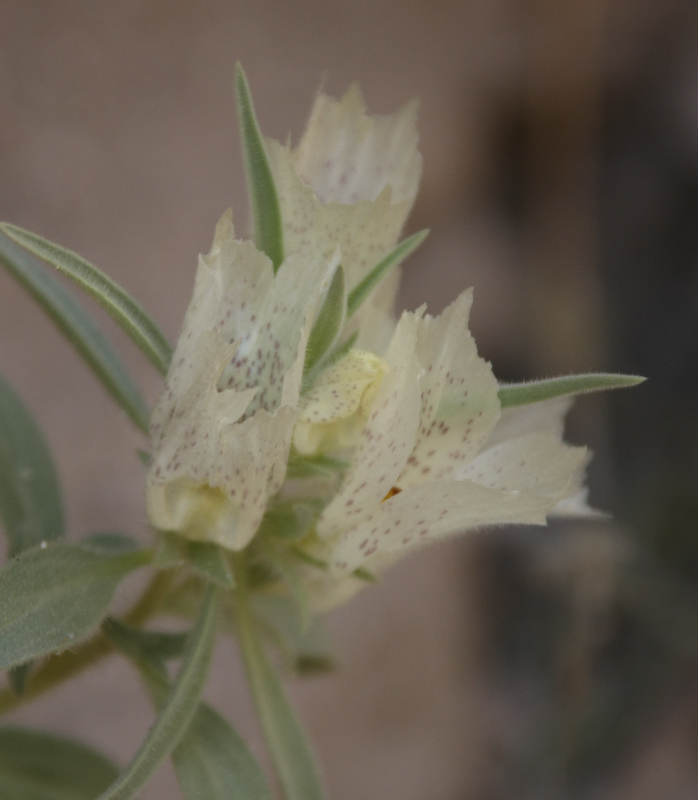
Another flower in bloom in the inner canyon. These are Ghost Flowers.
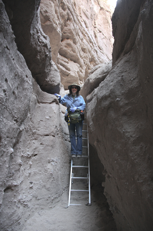
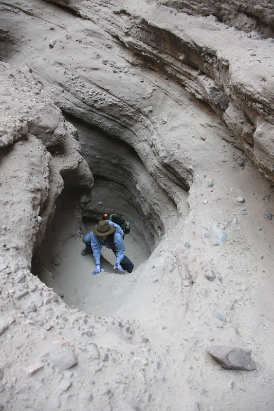
Kathleen descends one of the ladders. Happily, this was a new aluminum ladder as opposed to the old, worn wooden variety.
We camped near the end of the canyon and just pulled off the side of the road. We had the whole place to ourselves until 0800 the next morning when a fresh cadre of hikers showed up to get started before the day got too hot. The canyon walls across from our camp had nice folding due to the San Andreas fault. Note the curved beds and the uplift.
We had a great night. The wind was calm and it was warm. Kathleen cooked up some Thai noodles and chicken and we chased it with red wine. There were no cars that came through the canyon after nightfall so it was nice and quiet. In the morning, we would head north through the Mud Hills and into Joshua Tree National Park and then into the Mojave Preserve. Our objective for the day was to reach Mitchell Caverns in the middle of the preserve.
| Previous Adventure | ||
| Trip Home Page |
Photos and Text Copyright Bill Caid 2008, all rights reserved.
For your enjoyment only, not for commercial use.