We
called our mog-buddy Mark in Grants Pass to see if he had plans
for the 4th. Since he had nothing scheduled, we hopped in
Thor and headed out to Grants Pass. It was an easy cruise
with no issues. When we arrived, Mark had a place all set
up for us in the front driveway.
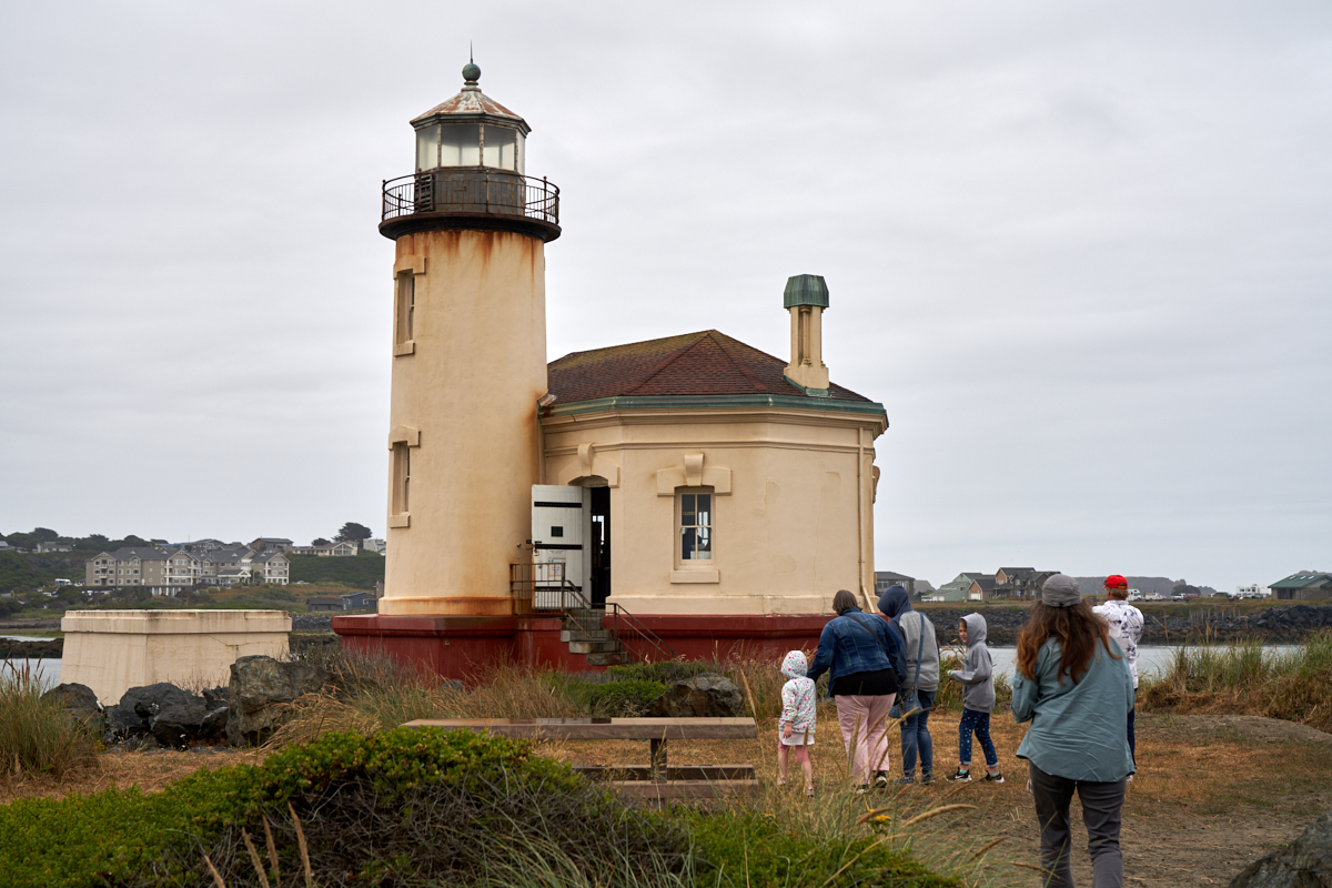
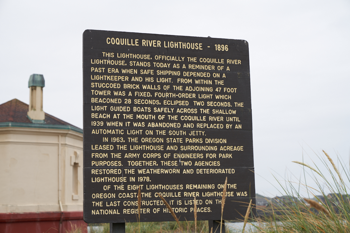
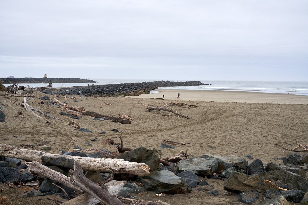
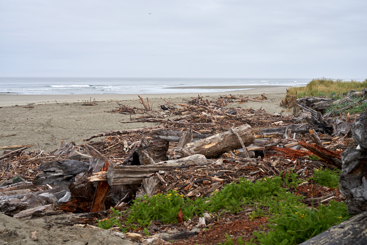
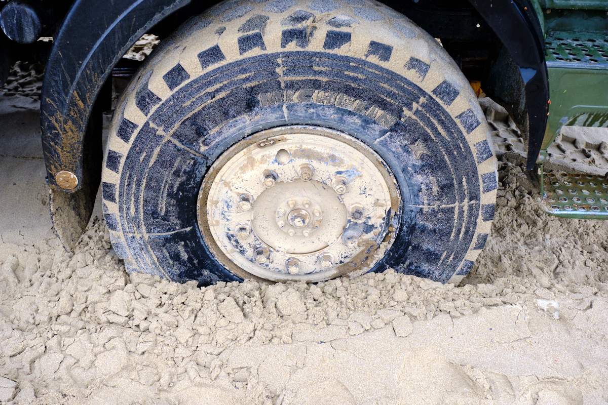
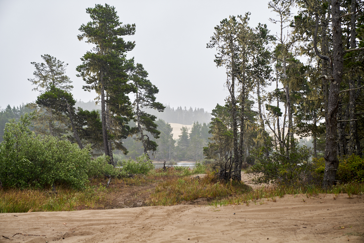
The photos below are what we saw.
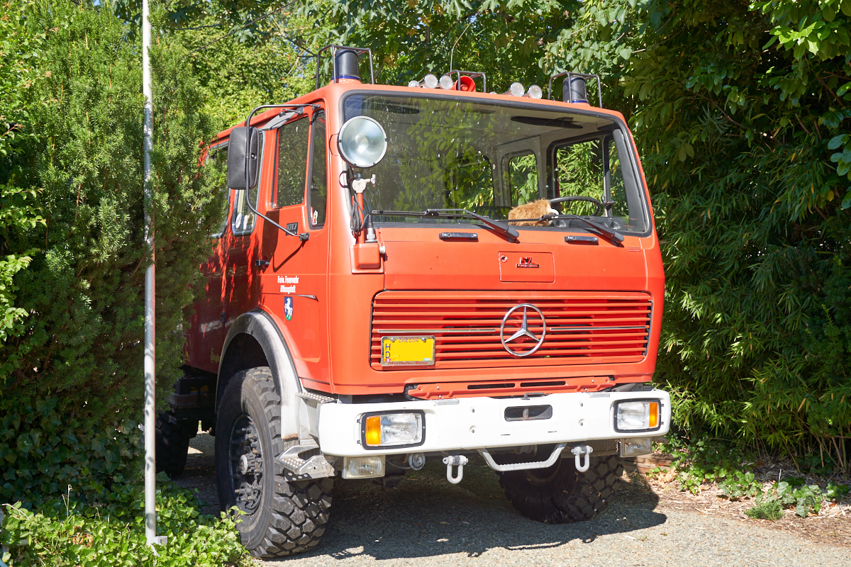
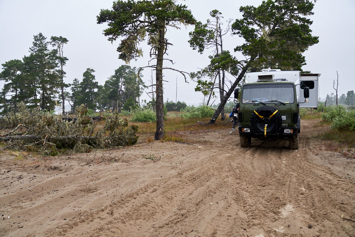
When we
arrived, we found Mark's 1017A, AKA "Mammut", hiding in the
bushes, lurking, watching Thor drive into his territory.
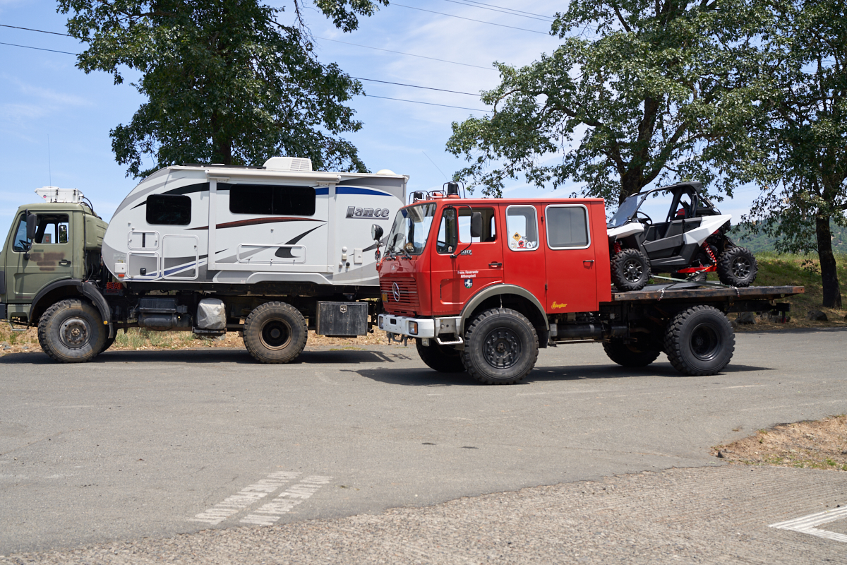
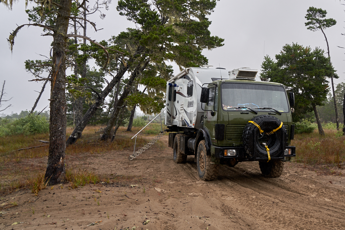
We spent
a few days at Mark's place on the Rogue River just hanging
out. When we finally decided to leave, Mark suggested that
we head to the river to a parking lot that would allow some
comparison photos of Thor and Mammut.
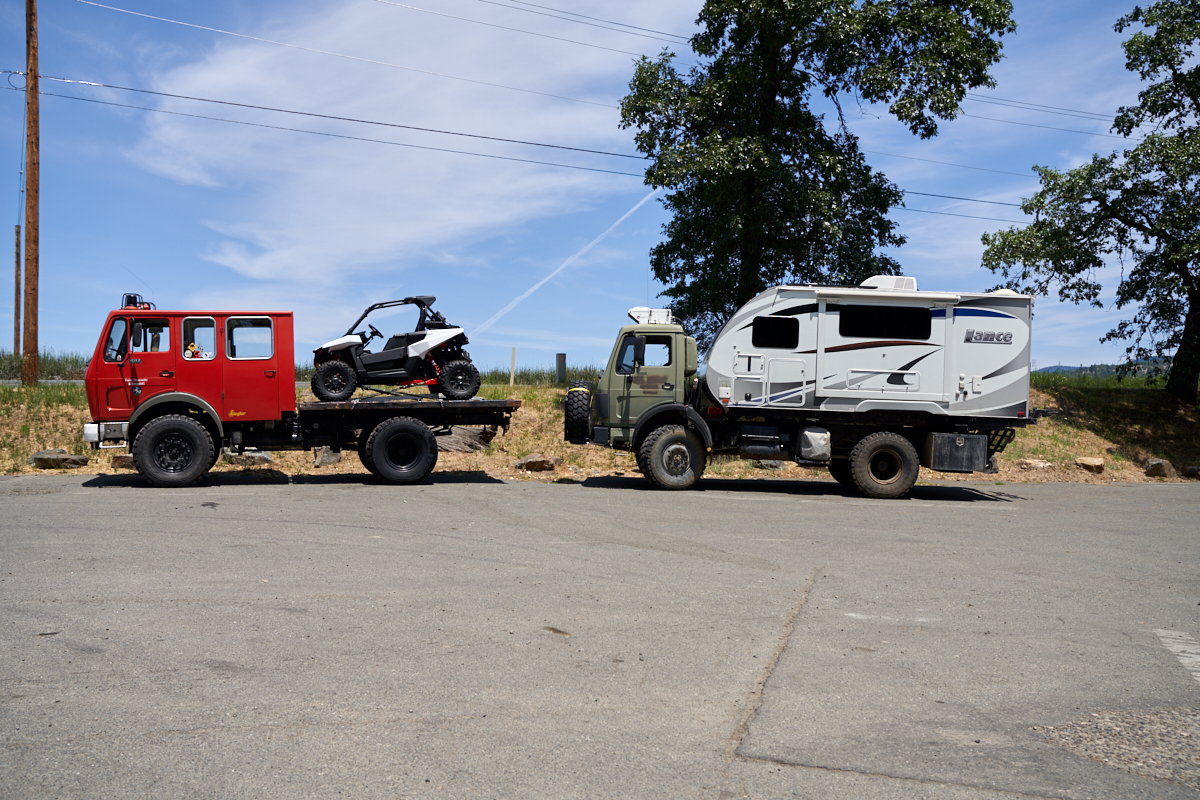
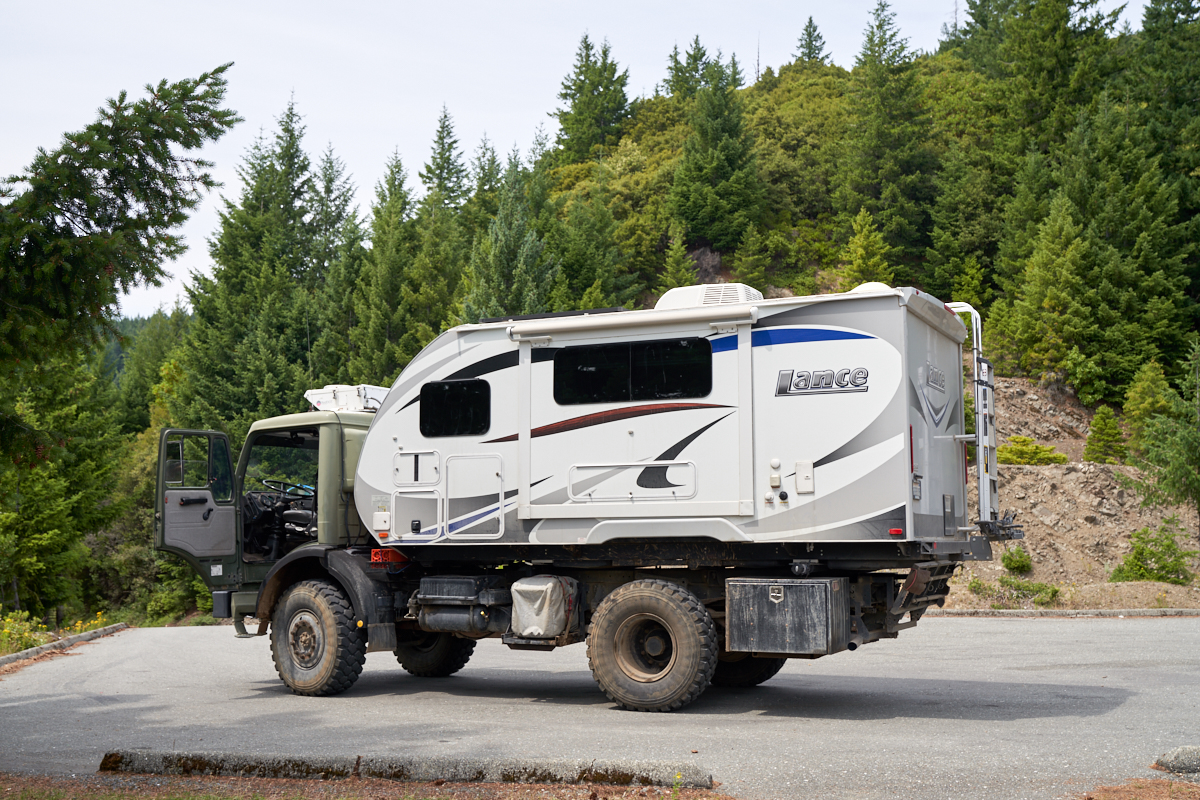
The body
styles are similar, but not exact. I think Mammut is a 1978
model; Thor 1988. Mammut came from the factory in the
"fire truck" configuration, Thor in the military configuration.
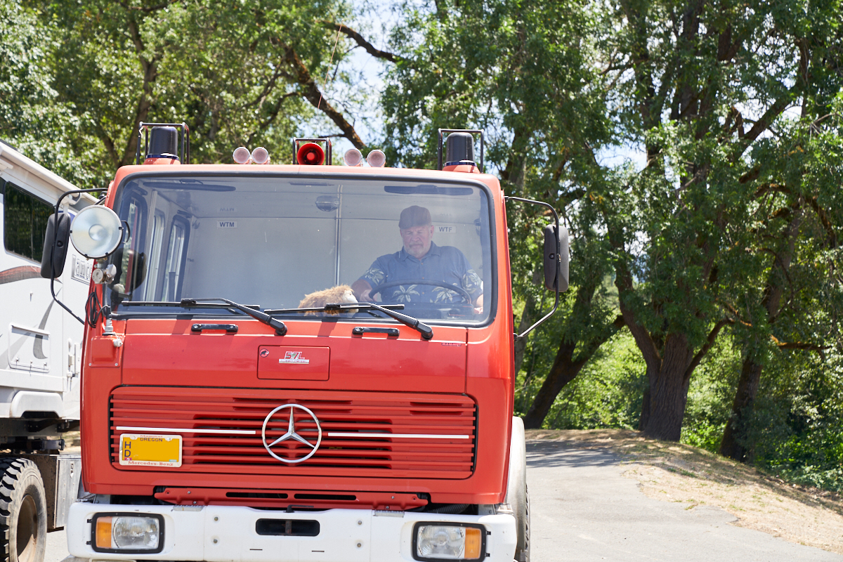
Mark has
his stuffed mammoth as the dash ornament. Not sure what the
sticker beside his head means, other than the obvious.
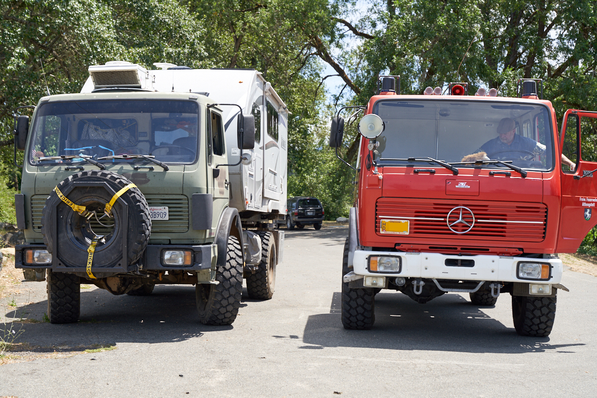
Once we
got the trucks moved to where there was no perspective
distortion issues, it is easily seen that these are the same
wheelbase.
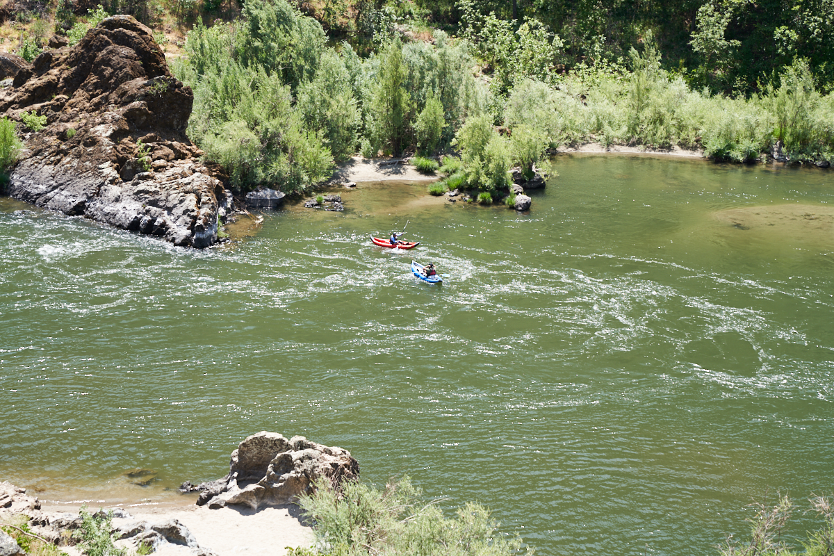
As we
left Grant's Pass, we headed west along the Rogue River toward
the Pacific. From the cliffs along the river we spotted
these kayakers.
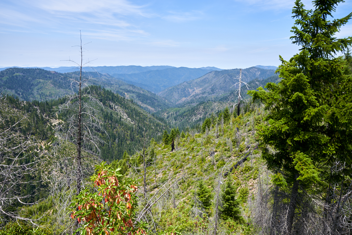
Mark
suggested that we take the scenic route that gave us the best
views. From the top of the pass at about 4500 feet we had
a great view to the north.
The road
was steep, narrow and rough and therefore pretty slow going.
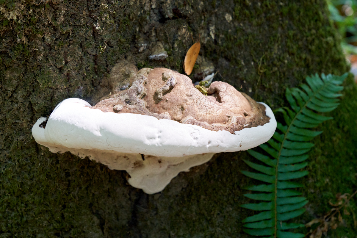
We
arrived at a campsite named Quosatana and decided to stay the
night. One night turned into two, so it was a relaxing
stay. Near our campsite we spotted this tree with a fungus
shelf.
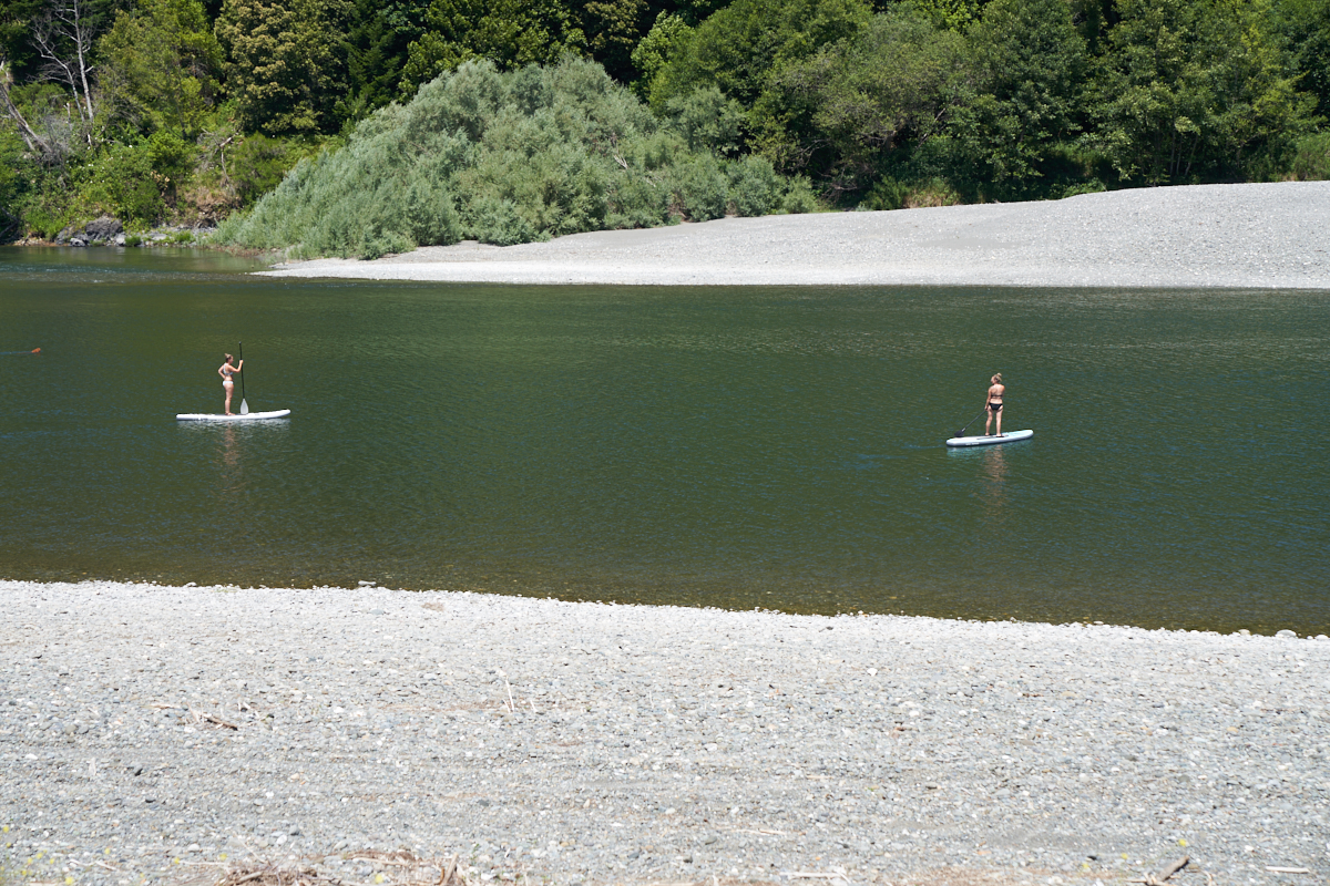
Quosatana
was right on the Rogue River and had a nice gravel bar for
swimming and water sports.
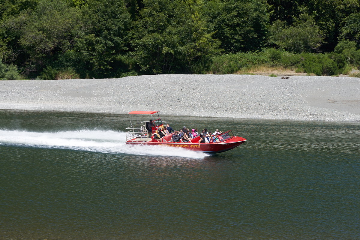
The gals
on the paddle boards must be locals because when they heard the
noise from a high-powered boat, they started paddling to the
opposite shore. In 30 seconds the boat arrived at about
45mph and filled with tourists.
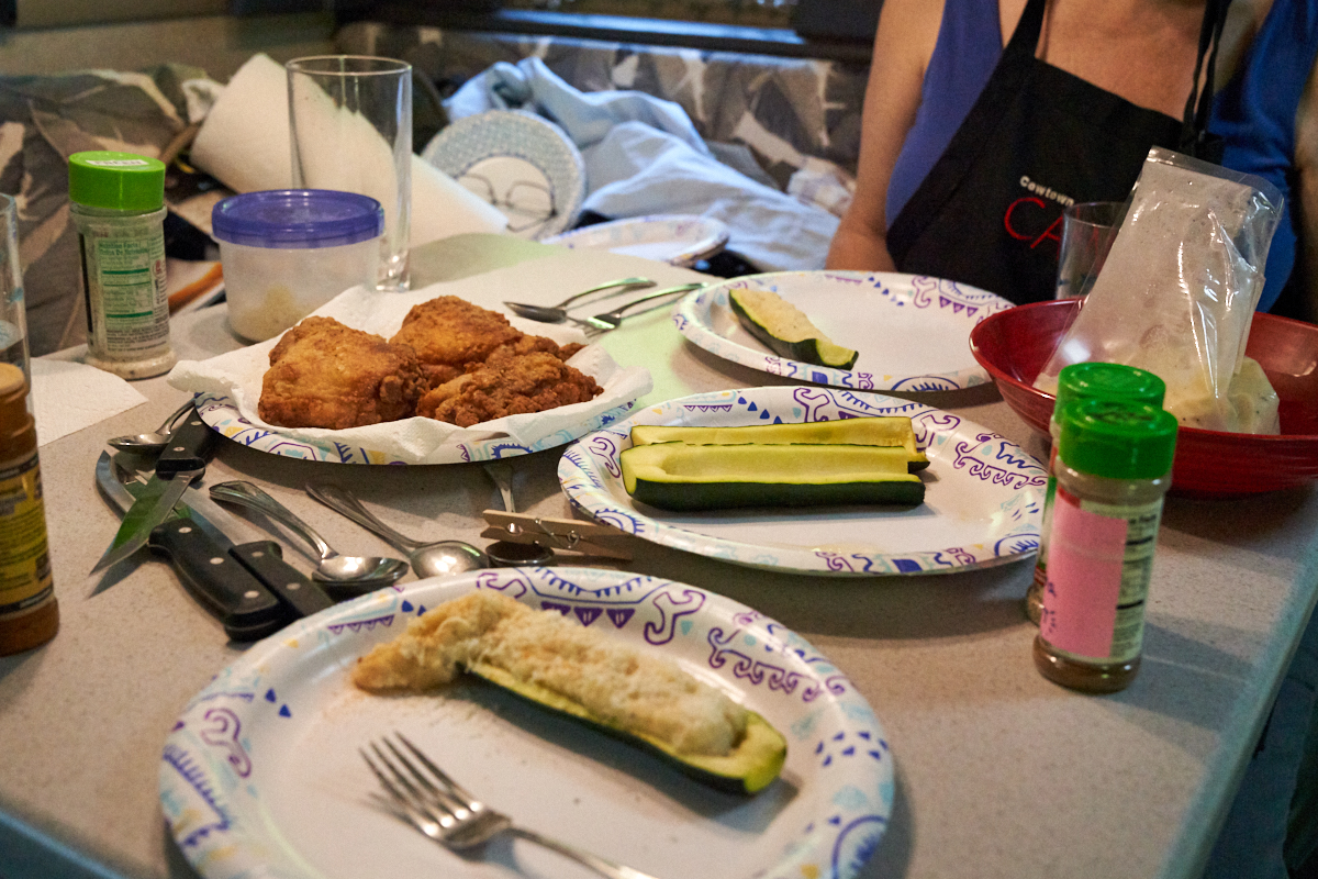
Since we
stayed at Quosatana for more than one night, Kathleen made me
fried chicken and zucchini boats with creamed parsnip
filling. Dinner was awesome, particularly since we were
sitting in a campsite next to a beautiful river.
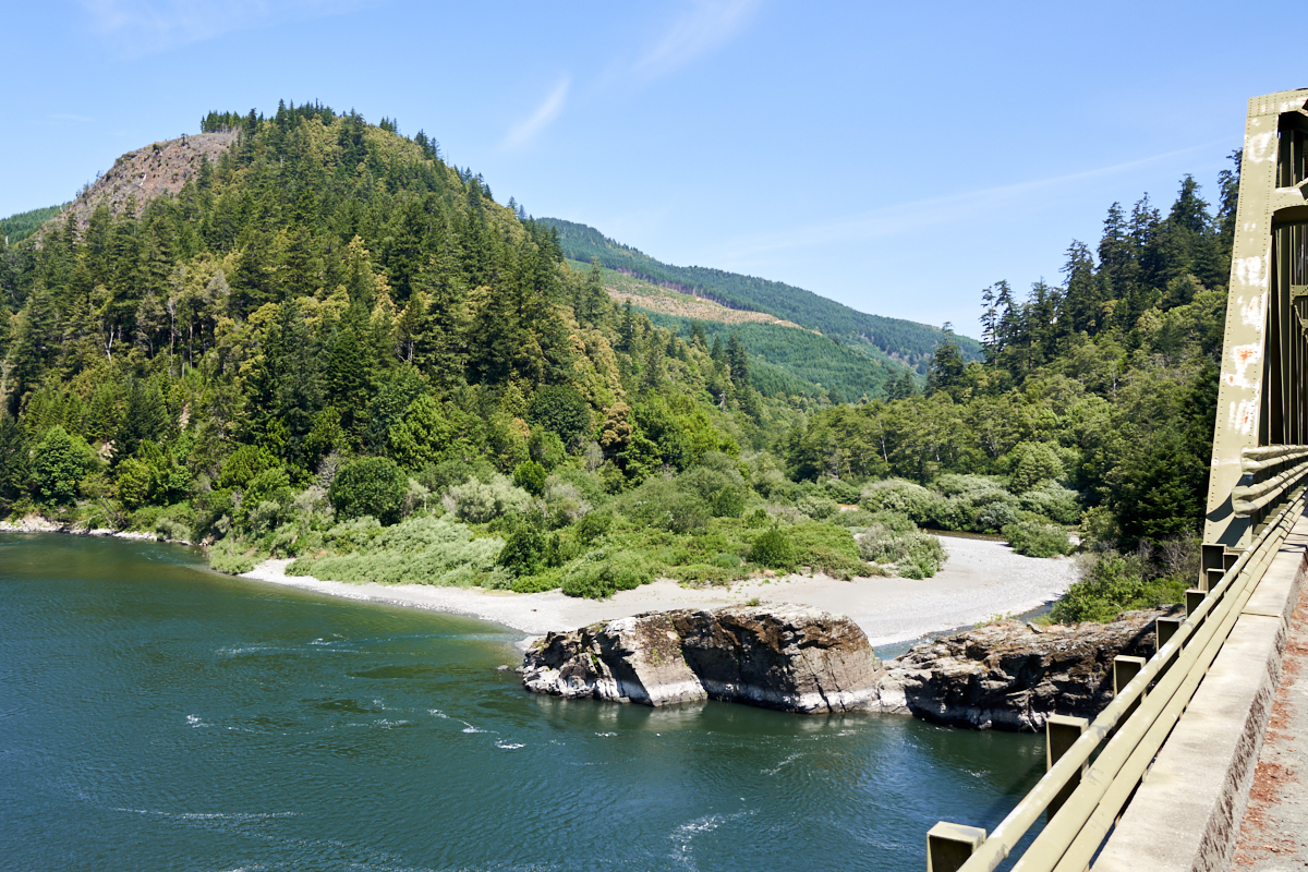
We
rolled out of Quosatana and headed toward the ocean and crossed
the Rogue River on the way.
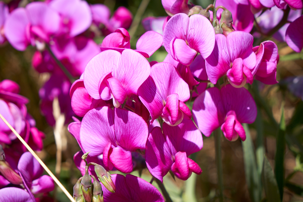
Once we
hit the coast road we pulled over for a few photos. There
was some kind of nice flower in bloom on the roadside.
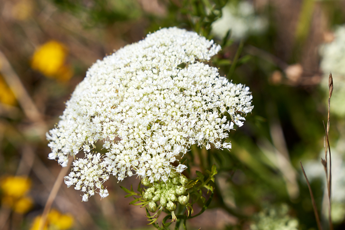
Another
roadside bloom.
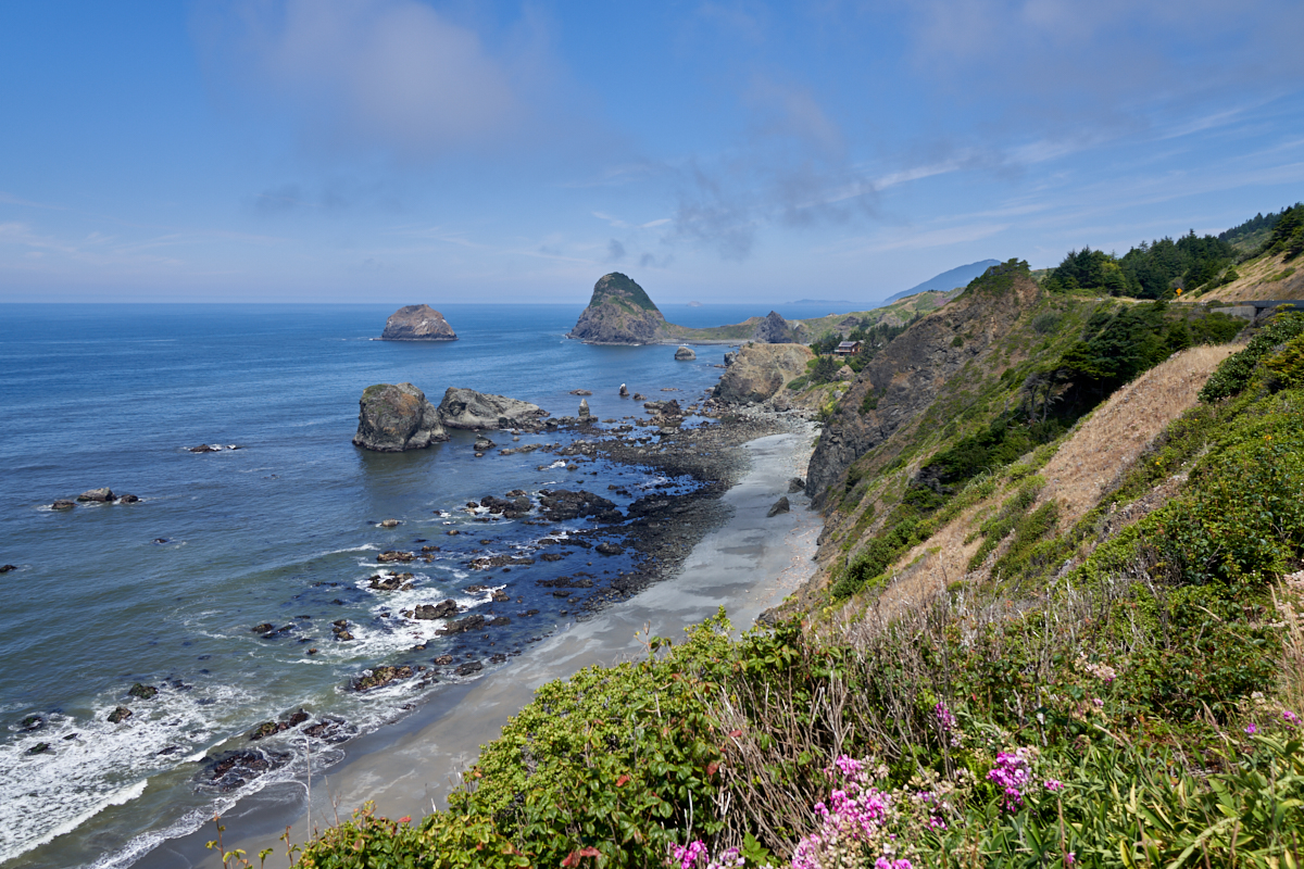
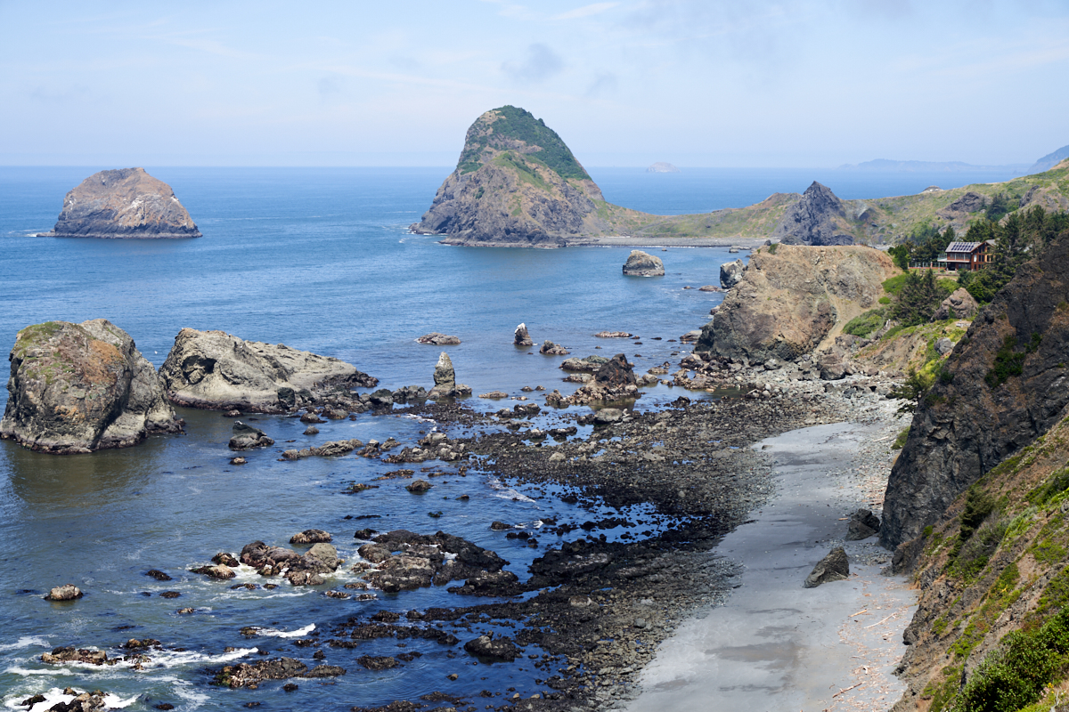
A nice
shot of the rocky Oregon coastline. Note the house on the
cliff at the center-right of the photo above.

| Previous Adventure | ||
| Trip Home Page |
Photos and Text Copyright Bill Caid 2019, all rights
reserved.
For your enjoyment only, not for commercial use.