
There
was a beefy list of maintenance actions to be performed on Thor
while we were in La Junta. We were there 3 days and
essentially did a "clean sweep" on the action list. When
the actions were complete, we loaded and headed toward Durango,
CO to visit more friends. Sadly, we never made it to our
planned destination.
The photos below are what we saw.
One of
the actions on Thor was to replace all the rubber in the cooling
system. Thor is nearly 30 years old and despite German
rubber being "good", 30 years is very optimistic for a viable
service life for rubber parts. Nothing has failed YET, but
it was prudent to replace these components before they fail.
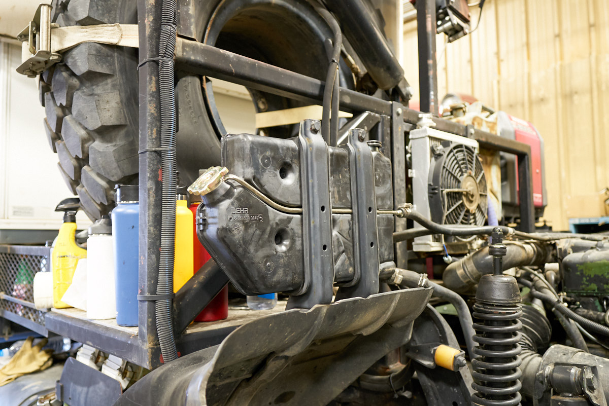
One item
that was replaced was the radiator reservoir. Oddly, MB
does not have these parts any more. The rubber was
available, but this was the LAST reservoir in inventory on the
entire planet.
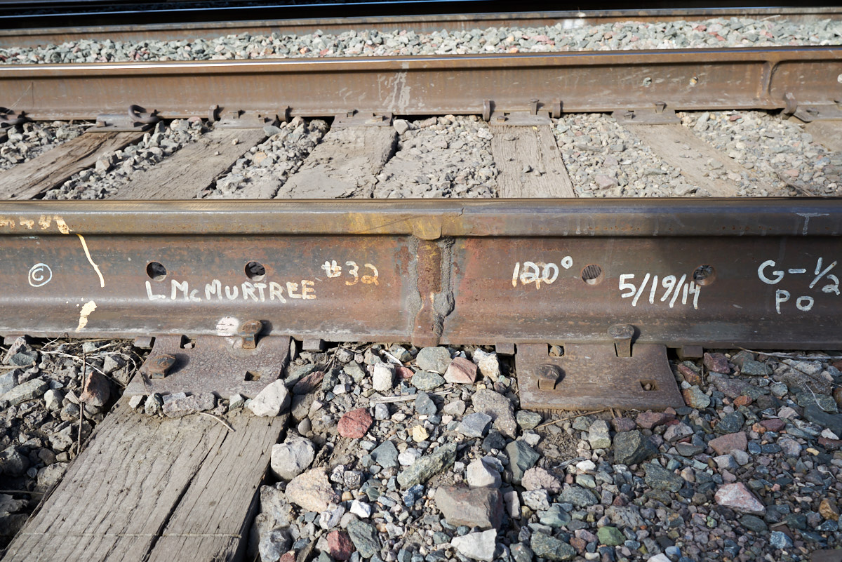
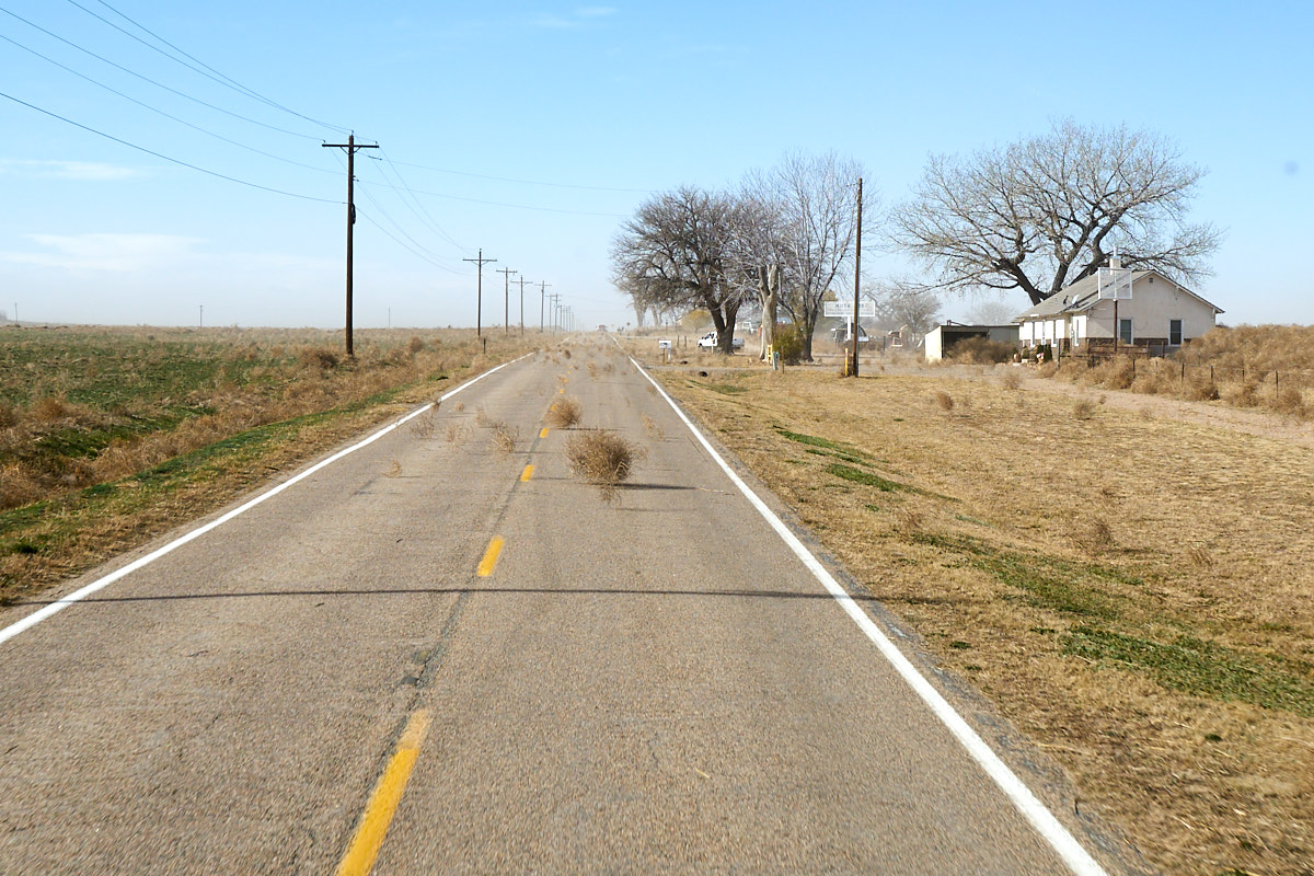
Terry
Lee Enterprises' shop is right across the street from the BNSF
main line through La Junta. During a down period, we walked
across the street to look at the tracks. Above, we spotted
a thermite weld on the track and it was signed and dated.
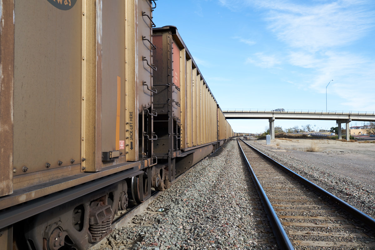
The BNSF
carries lots and lots of coal. 23 150-car trains pass though
La Junta each day. The cars above are full of coal from
Wyoming mines and are being delivered to power plants further
east. The string of cars stretches out of sight.
When the
truck was completed and we were ready to roll we went out of the
shop to discover that there were high winds. We traveled
west toward Walsenberg, CO and on the highway we were subjected
to a river of tumbleweeds being blown by the high winds.
The
tumbleweeds were an endless precession driven by the high winds;
a river of debris. I estimated the wind speed at 50mph
sustained with higher gusts. The winds were so strong that
the truck could not go faster than 45mph at full motor output
(1300 degrees F at 20 psi turbocharger boost).
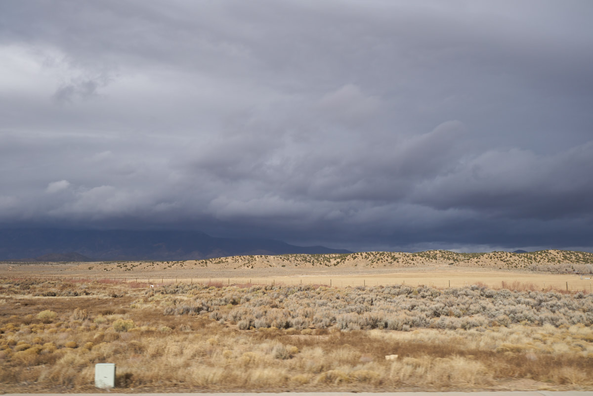
The
storm was approaching from the west and sadly we were heading
west to our next destination. The low clouds were covering
the mountain peaks west of our position. We continued west
to Alamosa, continuously checking the weather online. Our
conclusion was the Wolf Creek Pass (10,000 feet) was becoming
dangerous. We were still about an hour away and sundown
was rapidly approaching. When we reached Monte Vista, we
concluded that the pass was a no-go, so we notified our hosts
for the night and then backtracked to Alamosa and then headed
south to Taos, NM.
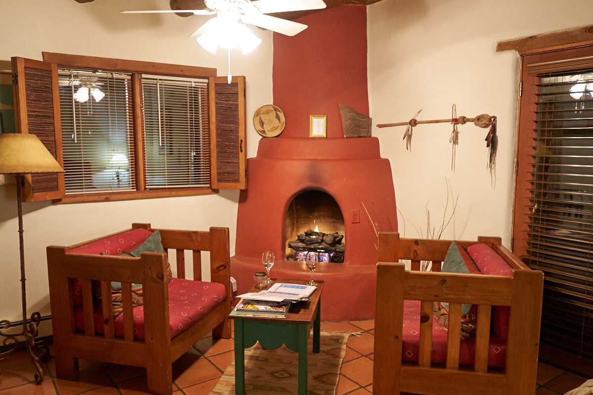
We had
cell service en-route and Kathleen located a very nice bed and
breakfast in Taos called Hacienda del Sol.
Above is the sitting area with nice fireplace.
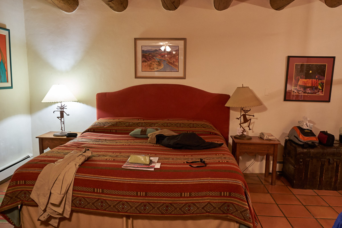
I failed
to have the presence of mind to take a photo before we dumped
our junk in the room. The bed was equipped with special
micro-fiber sheets that were super plush. Note the log
beams in the ceiling.
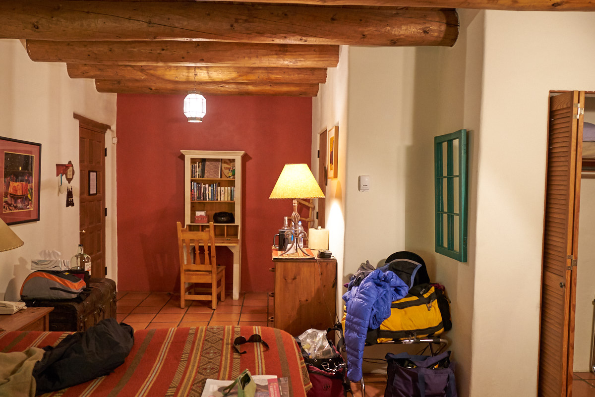
The
remaining portion of the room. We were lucky to discover
that right next to the hotel was a nice restaurant so we grabbed
our coats and hit the bricks.
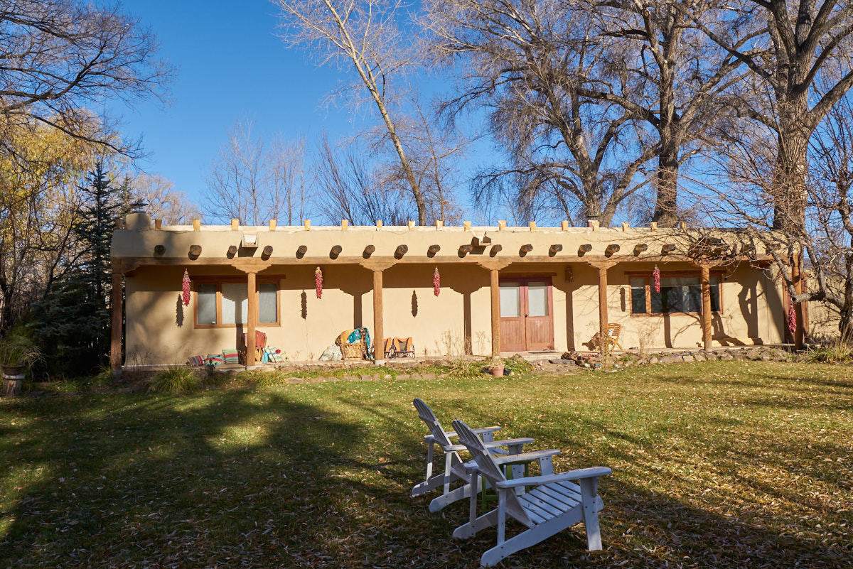
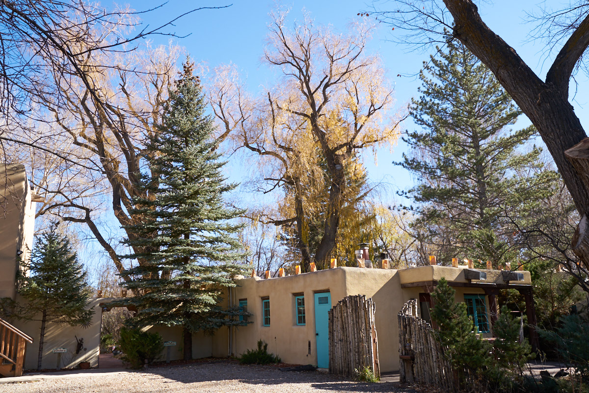
Hacienda
del Sol had a number of structures with guest rooms. This
bank of rooms was separate from the main building.
Our room
was on the bottom floor at the far right.
The
kitchen was in this building. Note the illuminarios
on the crest of the wall in preparation for La Navidad.
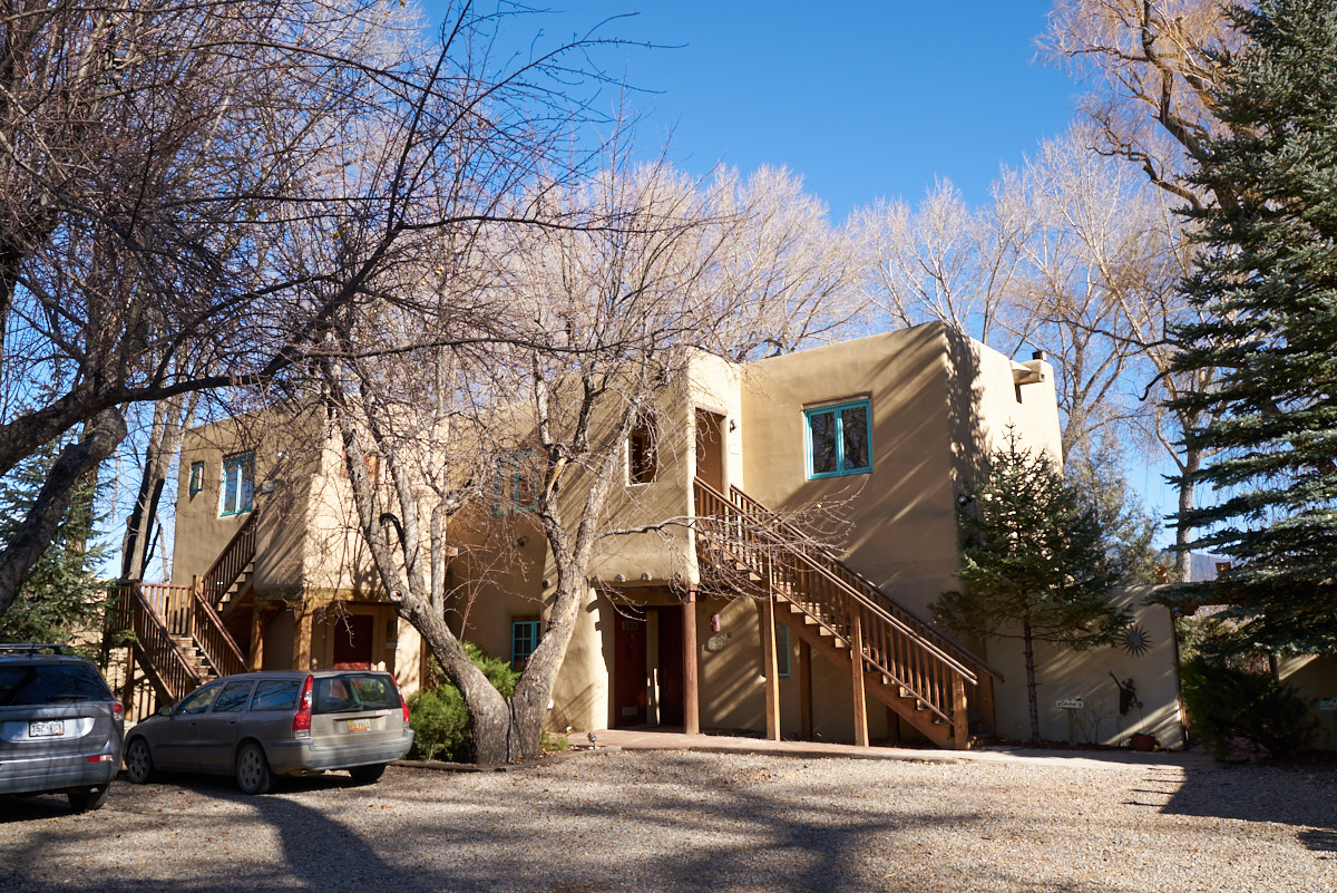
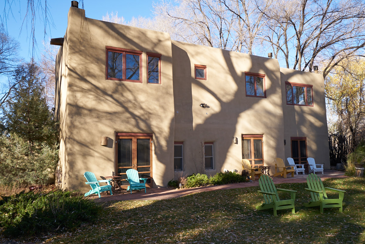
The
parking lot side of the two story structure.
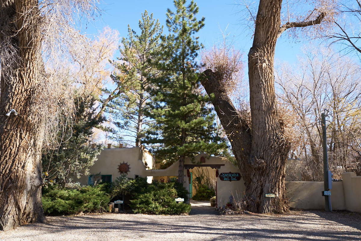
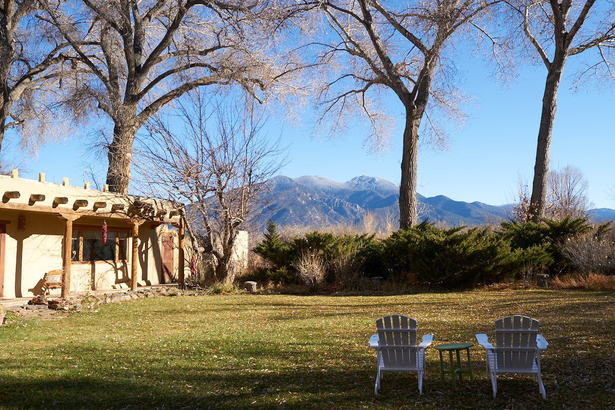
The property
had a number of huge cottonwood trees. Note the size of
the tree trunk to the right of the sign.
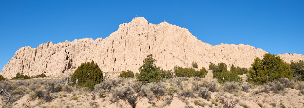
We
headed south out of Taos toward Santa Fe. Along the way we
passed this nice set of cliffs visible from the highway.
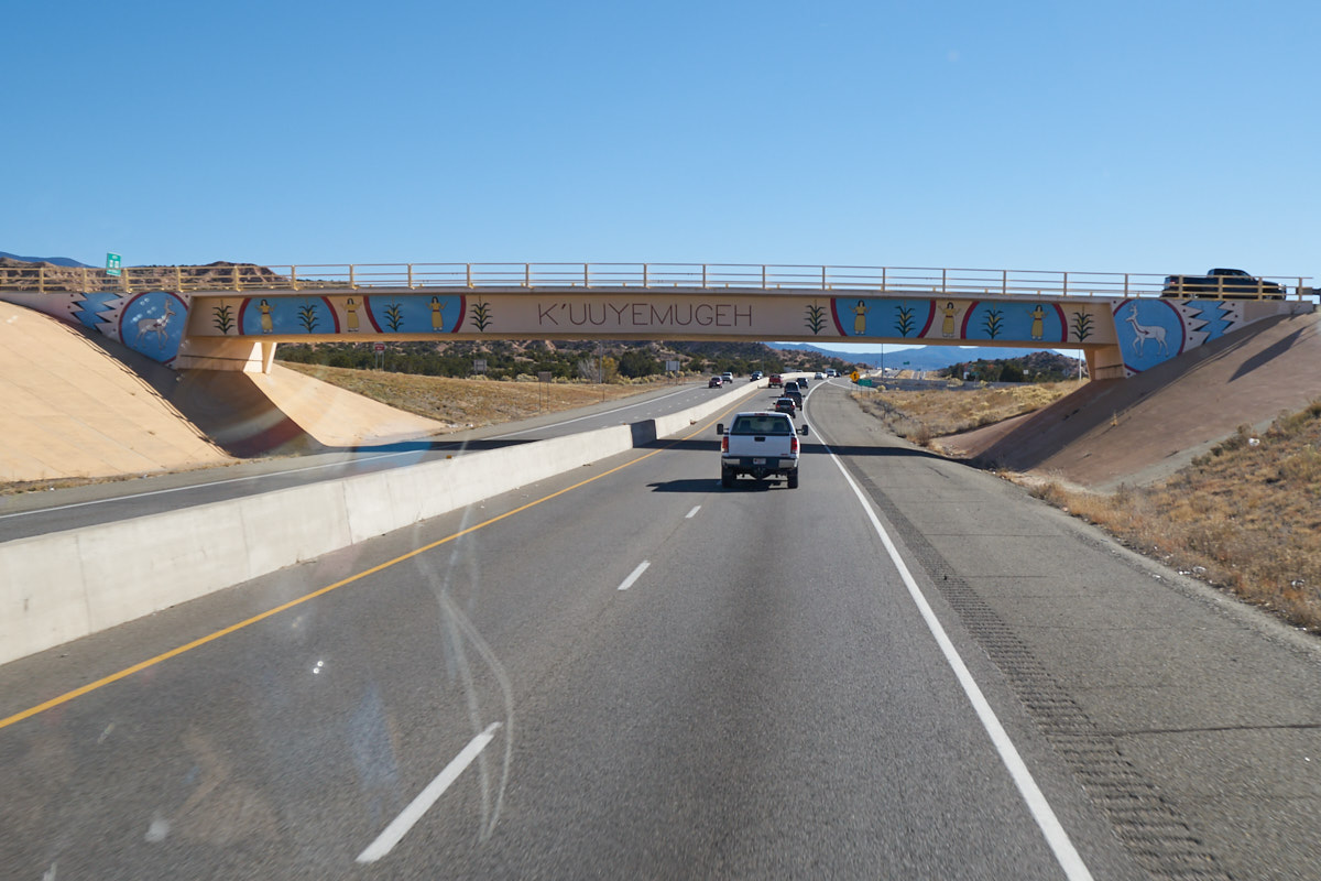
The
highway passed through a number of Indian Reservations and one
of them had this interesting bridge.
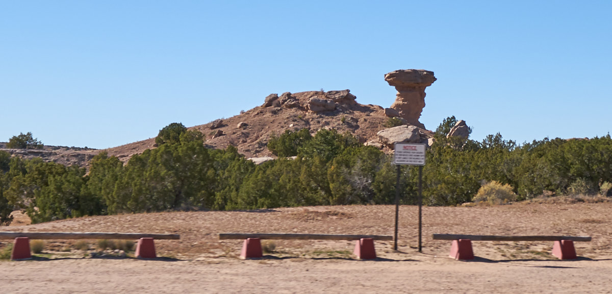
Further
south, we passed a rock structure called "Camel Rock" to the
west of the highway.
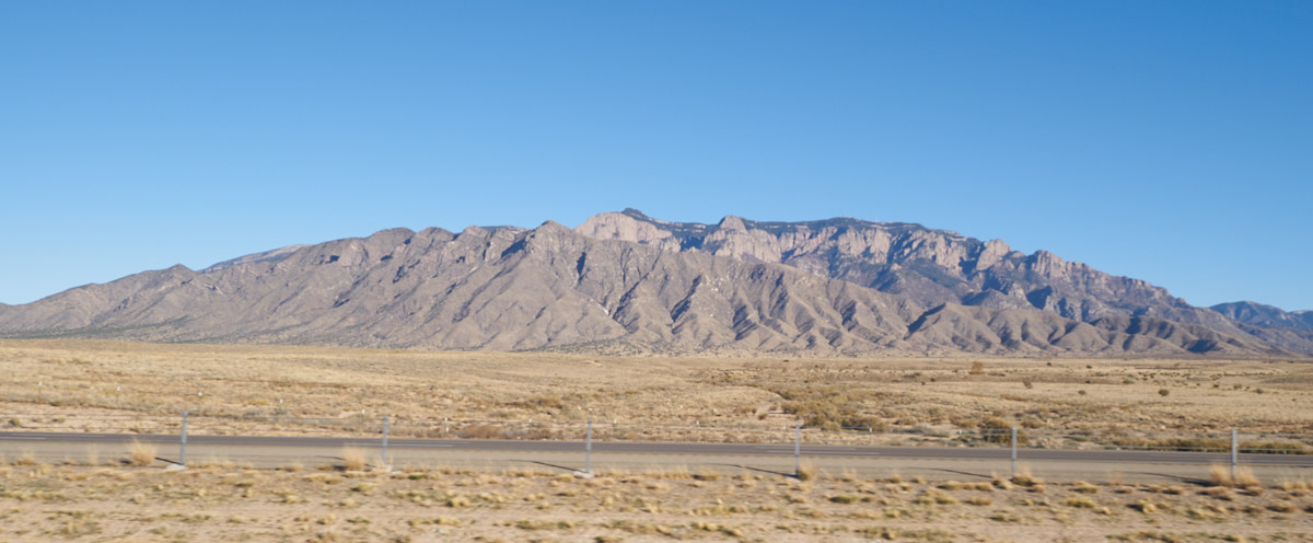
North of
Albuquerque we got a view of the Sandia Mountains and the
massive cliffs on the west slope.
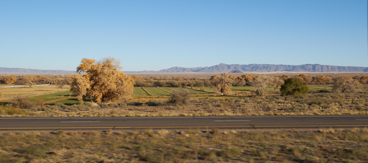
We
continued south on I-25. South of Albuquerque we could see
the rich fields along the Rio Grande river and the mountain to
the east of the valley.
| Previous Adventure | ||
| Trip Home Page |
Photos and Text Copyright Bill Caid 2017, all rights
reserved.
For your enjoyment only, not for commercial use.