Curtis
Gulch was a great campsite as we were alone and the weather was
kind. We only spent one night and the following morning we
headed out to points south.
The photos below are what we saw.
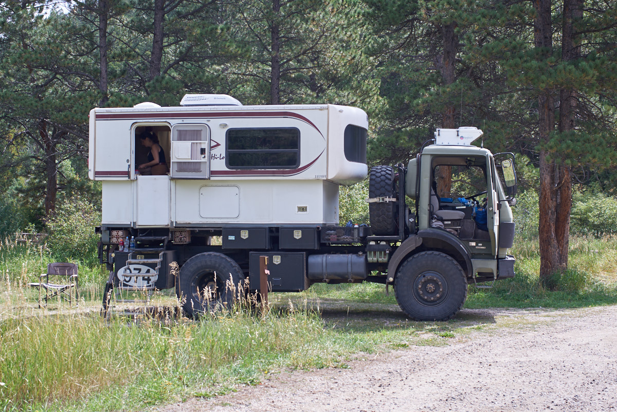
The
campsite was basic in that it had no services, but it did have a
flat parking area and a picnic table. Above, Kathleen
prepares breakfast.
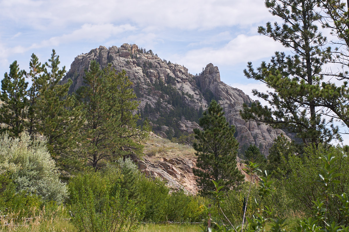
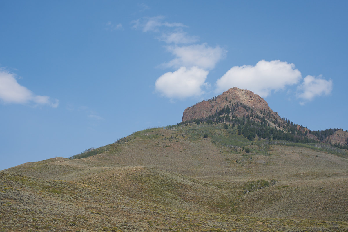
To the
east from the campsite was a huge rocky outcropping.
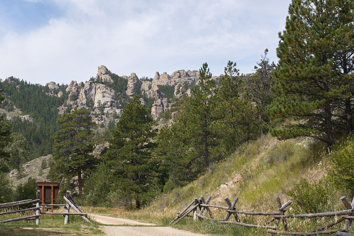
To the
west was another large set of steep cliffs.
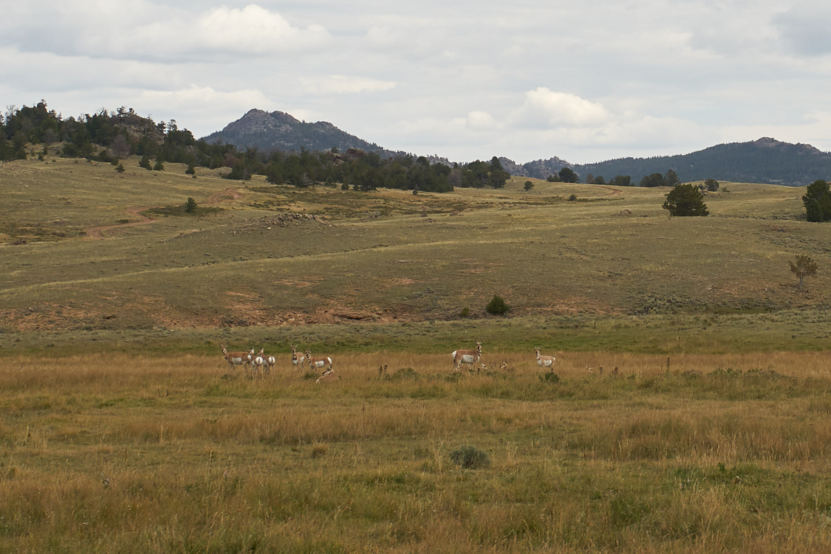
We
rolled west then south through the valley and surprised this
herd of 10 antelopes who were resting in the tall grass.
We
traveled about 60 miles on the dirt trail to the asphalt and
then headed into Laramie, WY for a resupply. From Laramie
we headed southwest into the mountains. Kathleen wanted to
see the Wyoming Infrared Observatory (WIRO) which was on top of
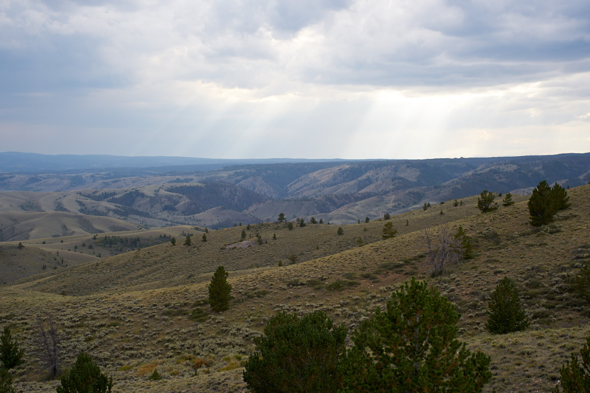
a 9700 foot peak. As we traveled up the rough dirt track
to the telescope we could see thunderstorms dumping rain to the
southwest.
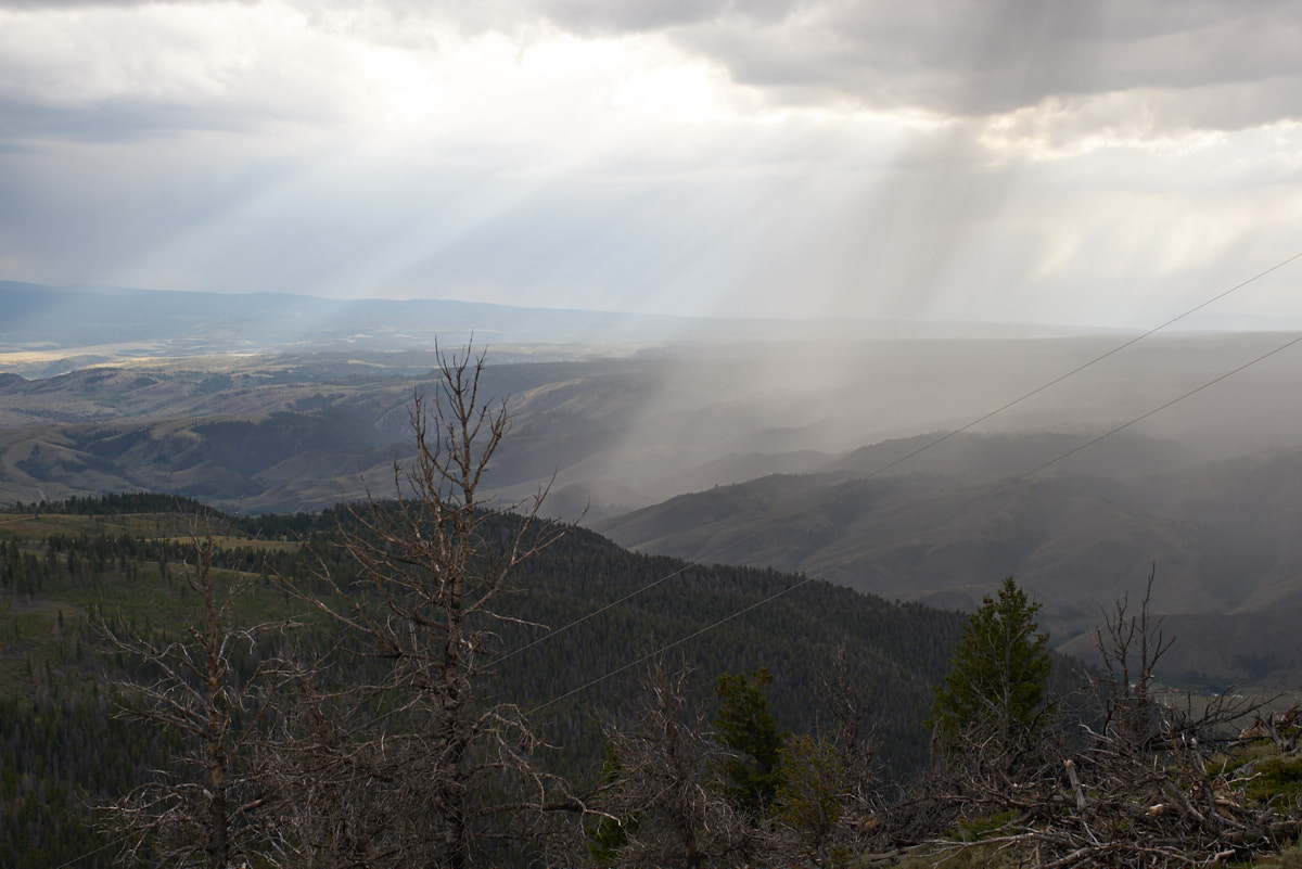
From the
peak we could see the rain lashing the hills below.
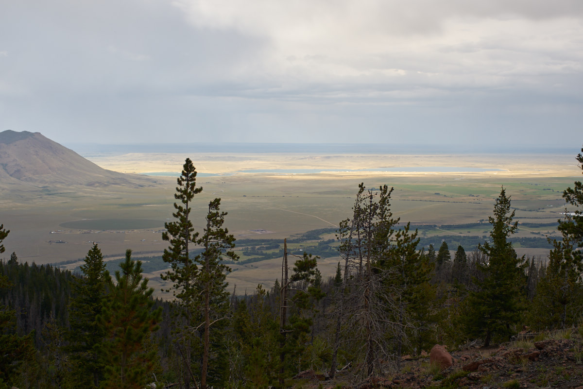
To the
north it was still sunny. The high vantage point allowed
us to see a reservoir in the distance.
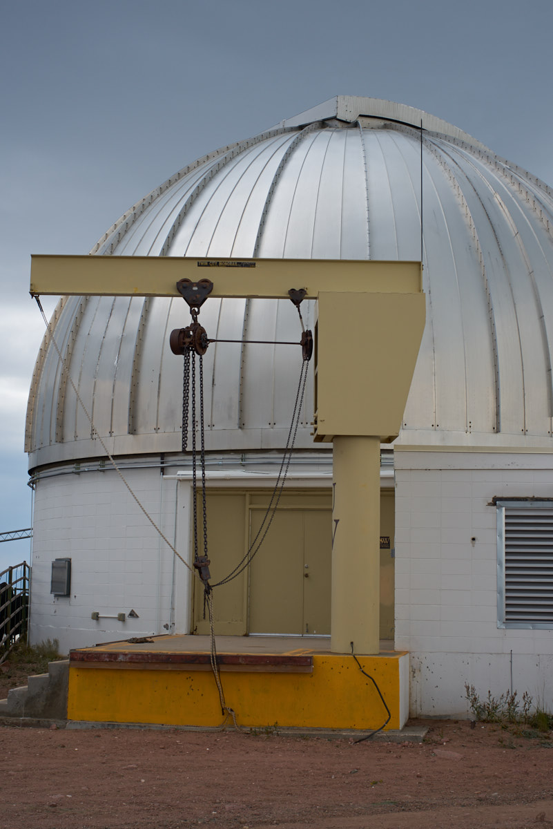
While
the sign at the bottom of the mountain stated that visitors were
welcome, there was no one there when we arrived. The
facility was rather "industrial", which was expected.
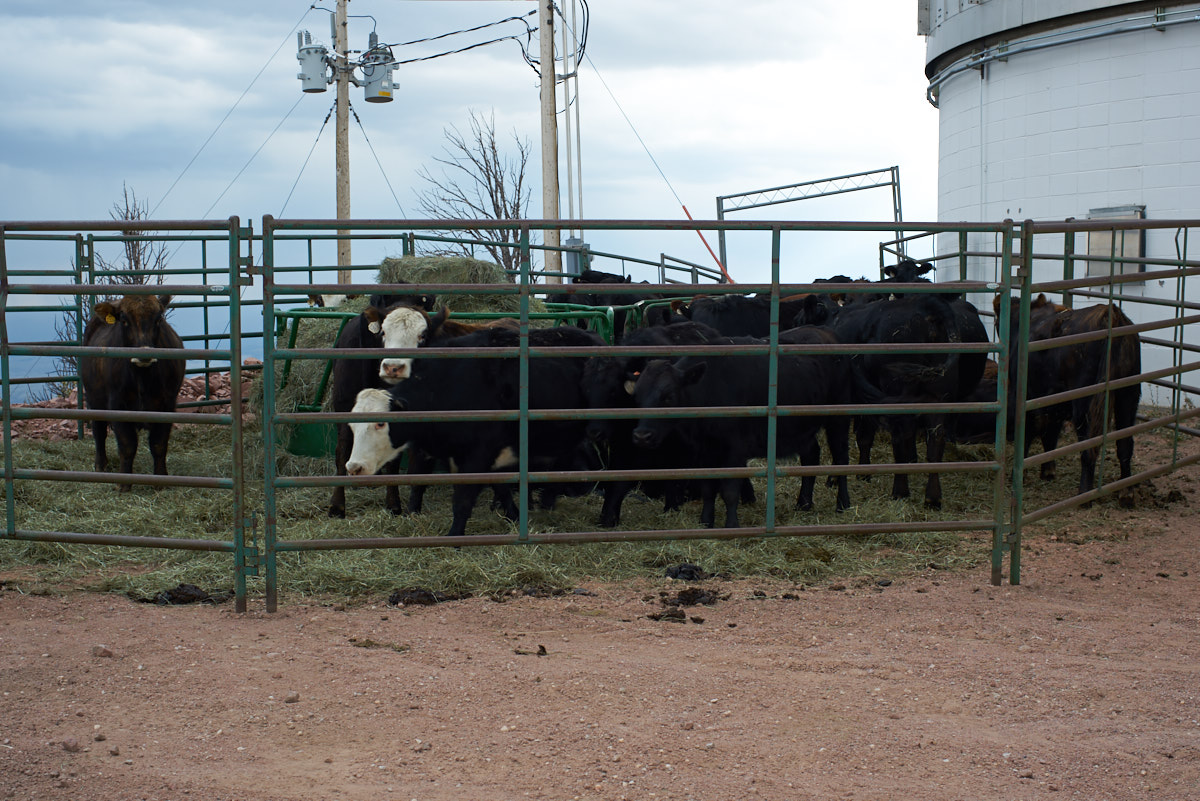
What was
not expected, however, was having a bunch of cattle corraled
next to precision, high-value electro-optical equipment. I
have no idea why the cattle were there except that the peak of
the mountain was at 9700+ feet elevation so perhaps U of WY were
using these cattle for experimental purposes. Or, perhaps
they were there to feed the astronomers.
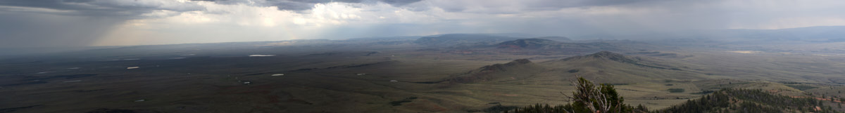
The
wide-angle view from the peak was breath-taking.
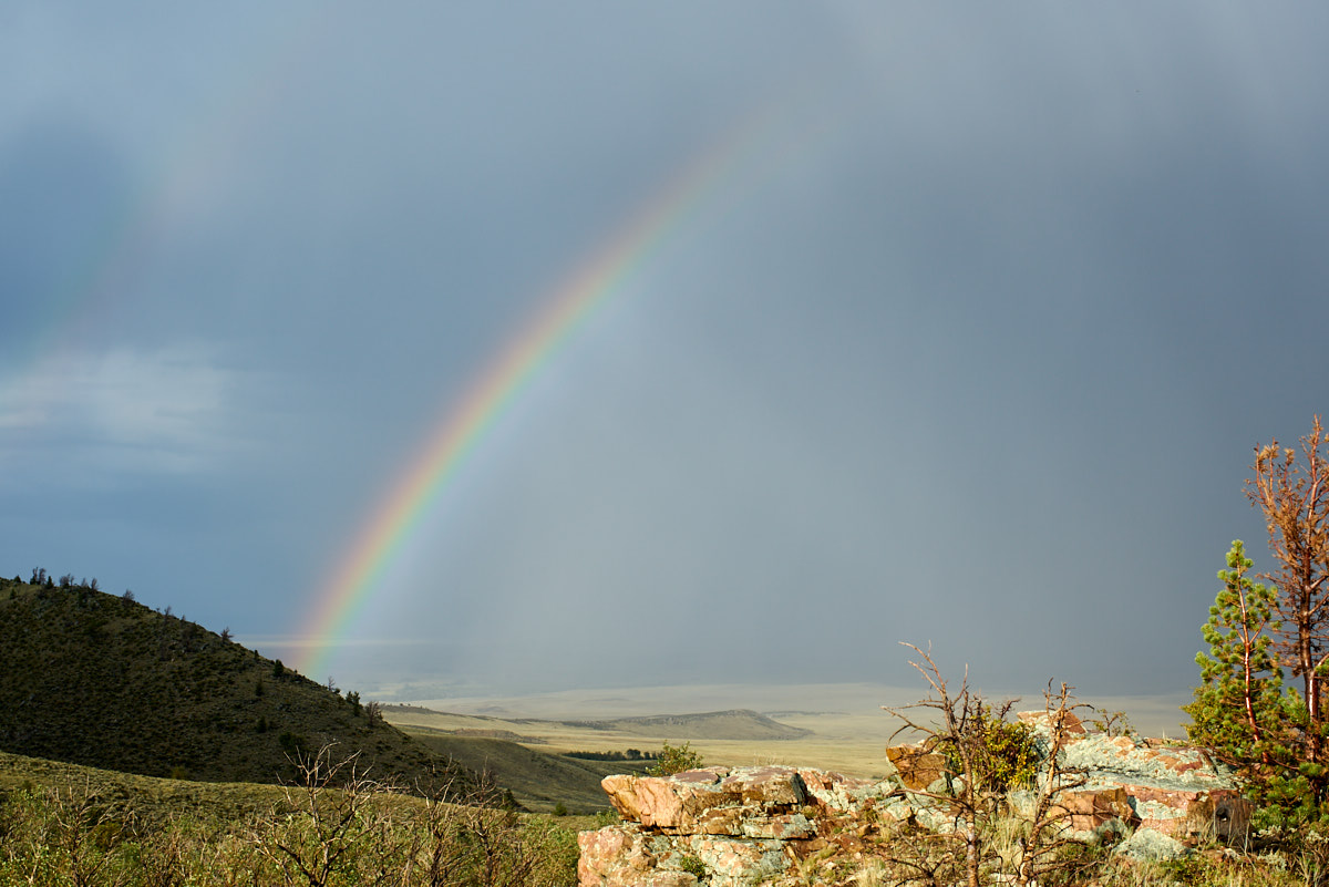
The rain
finally stopped and gave us a nice rainbow.
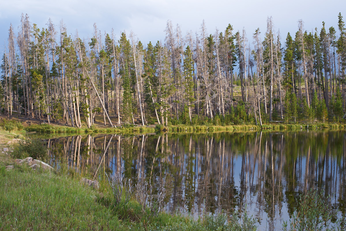
From
WIRO we traveled west into the mountains and found a campsite at
Miller Lake. Miller Lake, as it turns out, was an
abandoned camp area next to a small pond. We were alone at
the camp but the weather turned cold so we retired to the
camper.
From
Miller Lake we traveled south into Colorado and south towards
Steamboat Springs on US-40. From the highway we could see
huge rock outcroppings that towered over the valley.
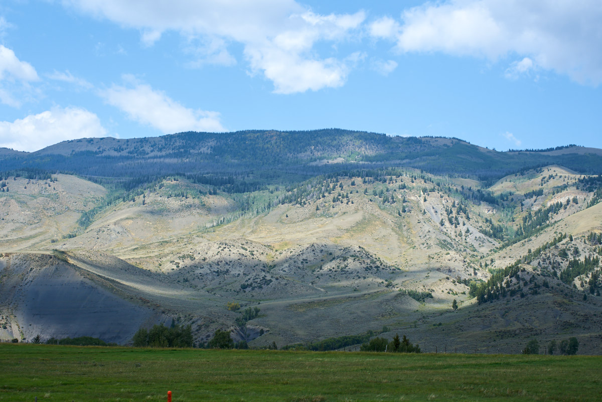
This
portion of US-40 was over 8,000 feet in altitude so the peaks to
the east had to be at least 12,000 feet. The valley was
broad and fertile supporting a large number of hay farms.
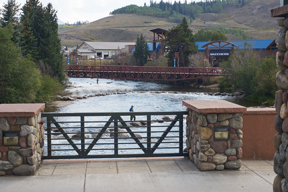
Further
south we came to Silverthorne. This area has become quite
"gentrified" since I lived in Colorado back in the '70s.
The photo above was taken while we were waiting for a traffic
light. Note the nice stone work on the bridge and the fly
fisherman in the river.
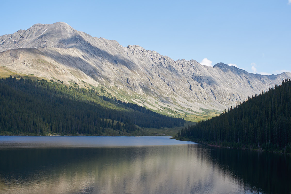
Our
destination for the night was Leadville, CO. We followed
CO-91 over Fremont Pass and saw the towering ridges to the east
of the highway.
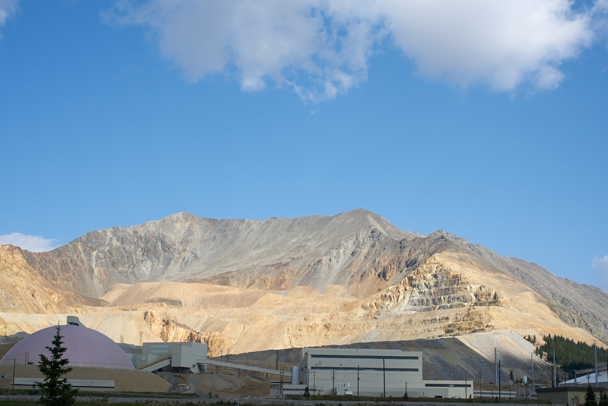
At the
top of Fremont Pass we came upon the Climax Mine. This
facility is one of the largest molybdenum mines in the world and
is at 11,000 feet.
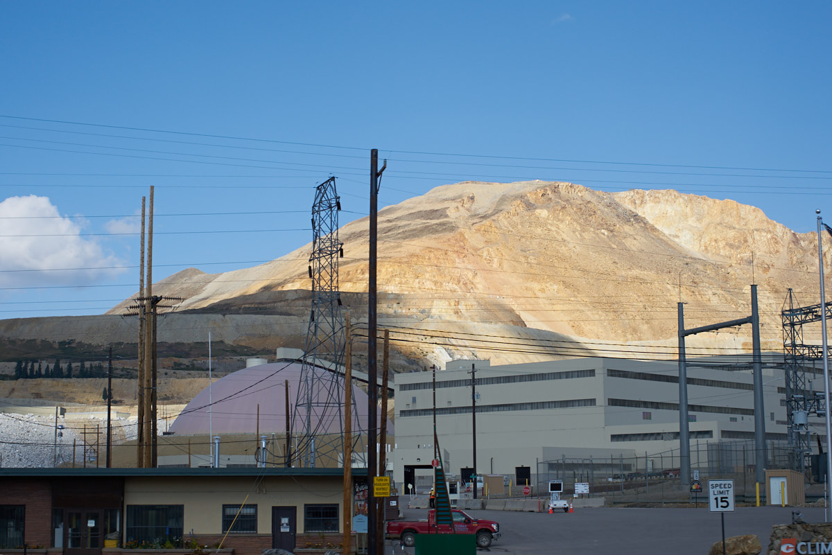
This is
a big facility, and interesting because it was started around
the turn of the (other) century. There is lots of
expensive infrastructure at the top of the pass.
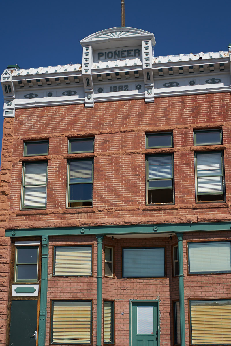
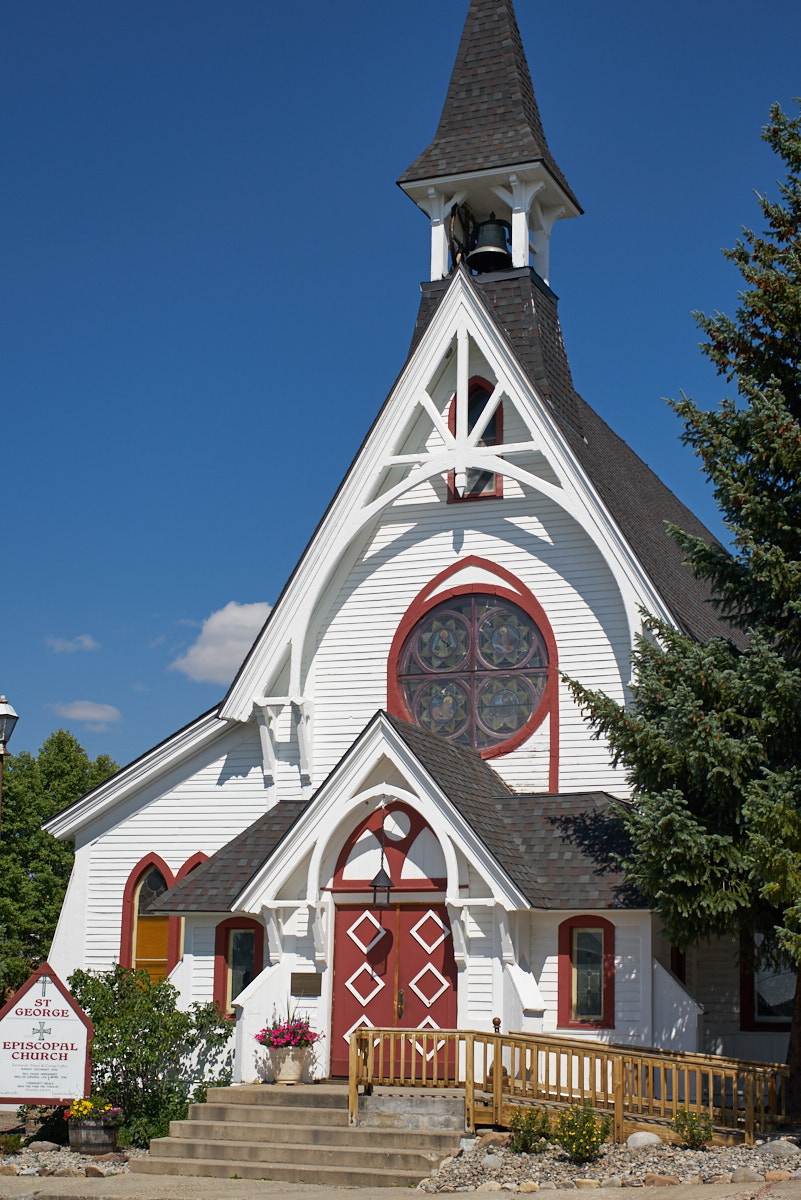
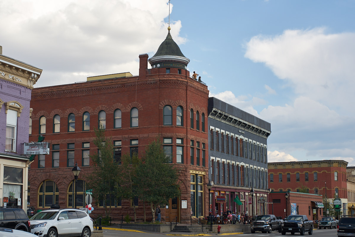
We came
to Leadville to visit our friends Rachel and Jimmy.
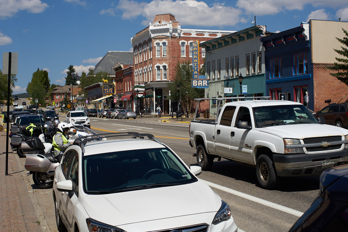
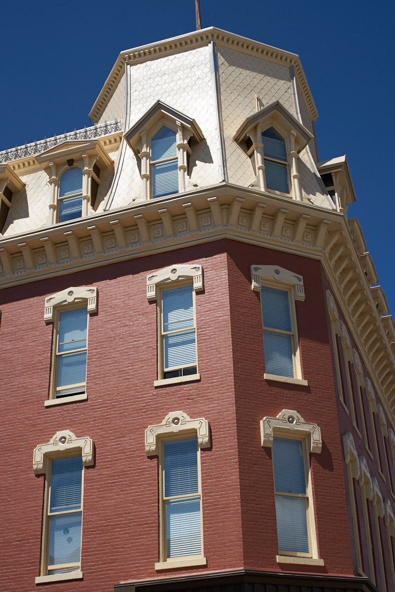
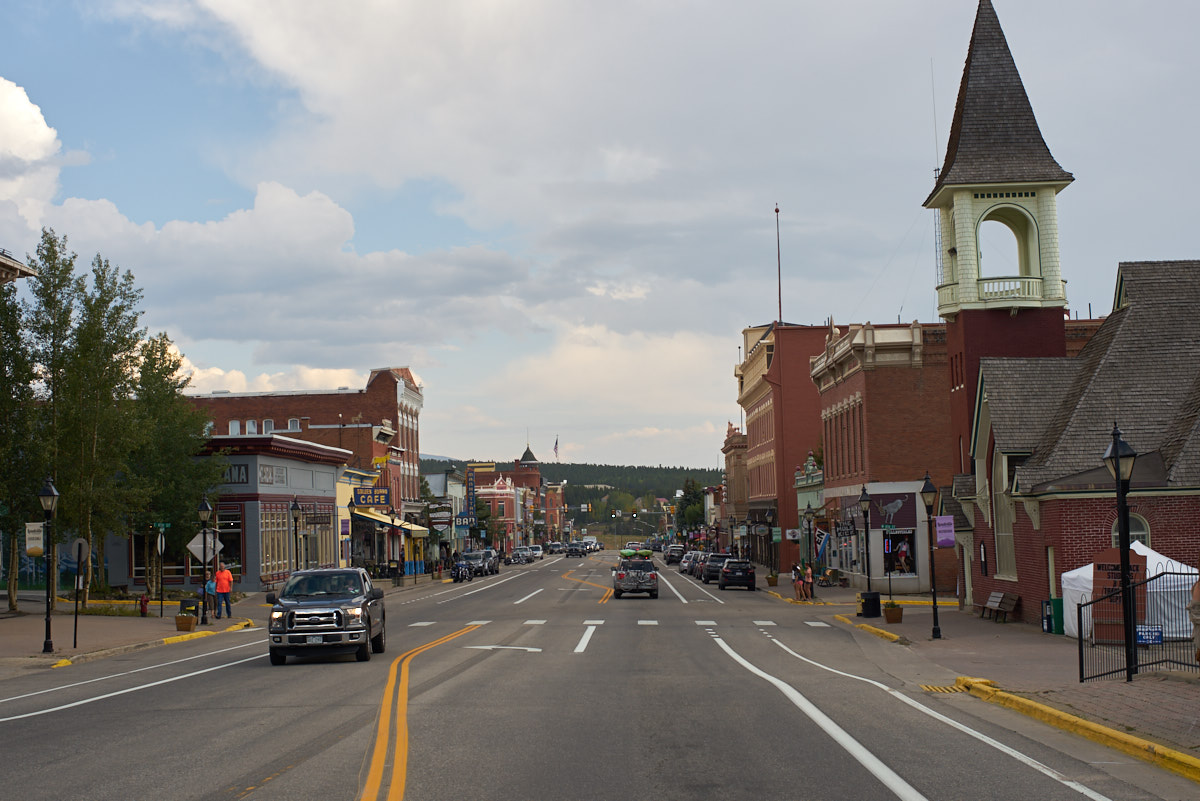
Leadville is a quaint mining town turned tourist haven with
plenty of interesting buildings from the late 1800's. The
building above was right across the street from our RV park.
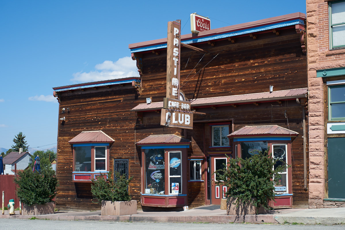
Also
across the street was one of the local watering holes.
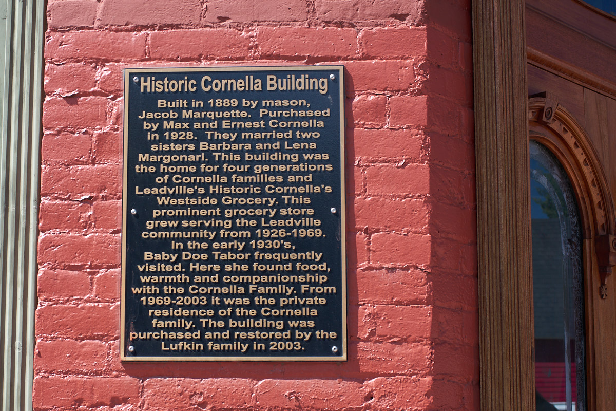
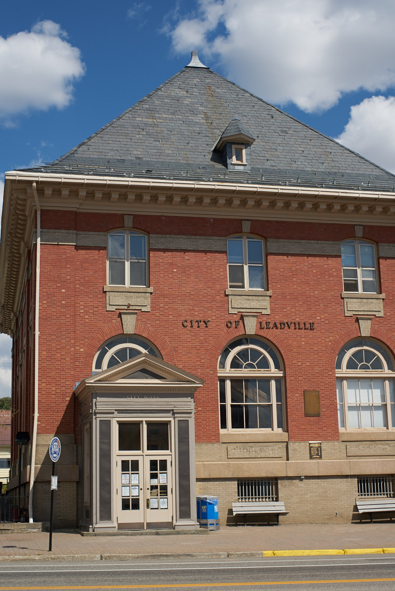
Many of
the buildings were quaint and interesting.
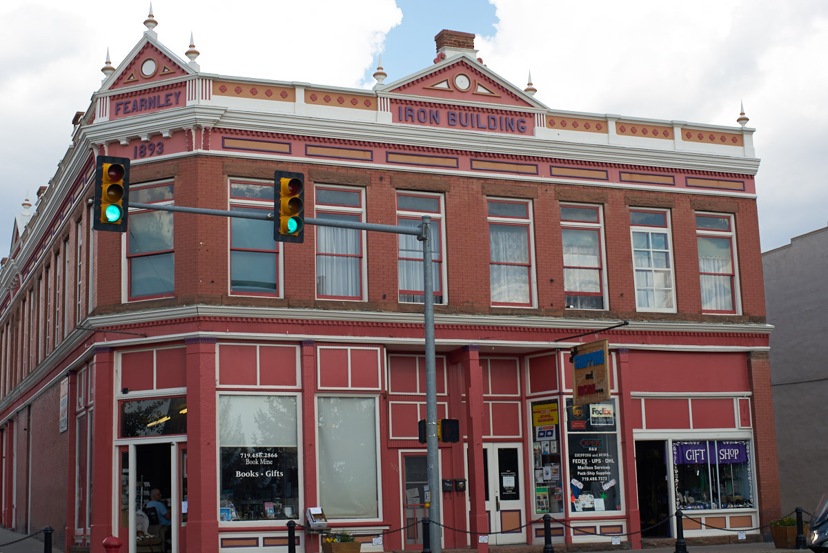
Rachel
has her yoga studio in this historic building.
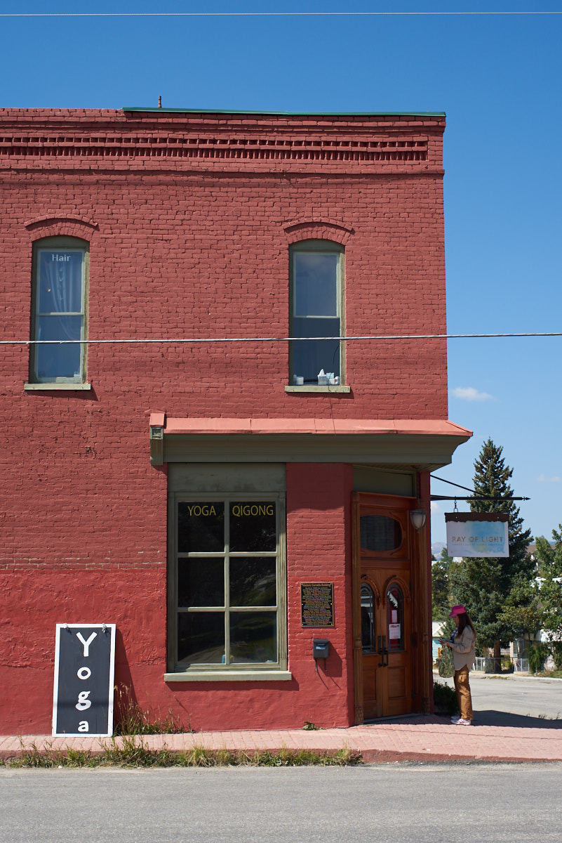
The
building, like many in Leadville, is made of brick.
| Previous Adventure | ||
| Trip Home Page |
Photos and Text Copyright Bill Caid 2017, all rights
reserved.
For your enjoyment only, not for commercial use.