The photos below are what we saw.
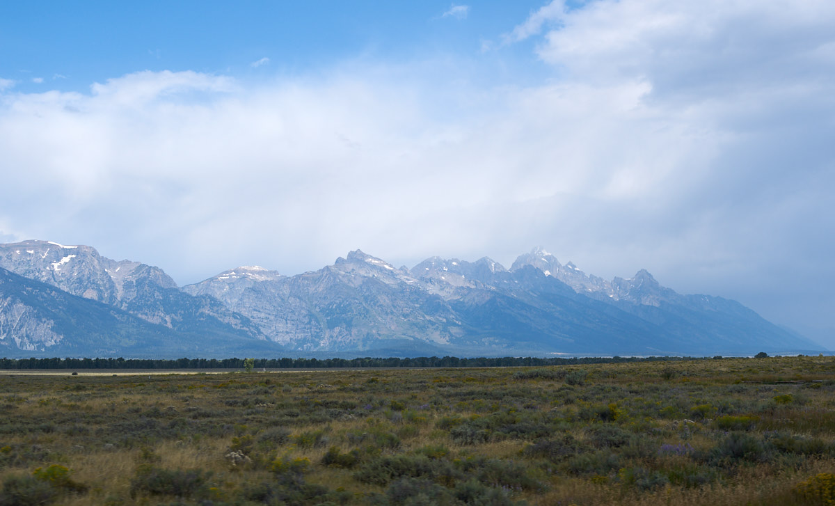
As we
traveled north from Jackson we got our first views of the
Tetons. The weather could have been better, but it did not
rain all that much; just enough to clean our windshield.
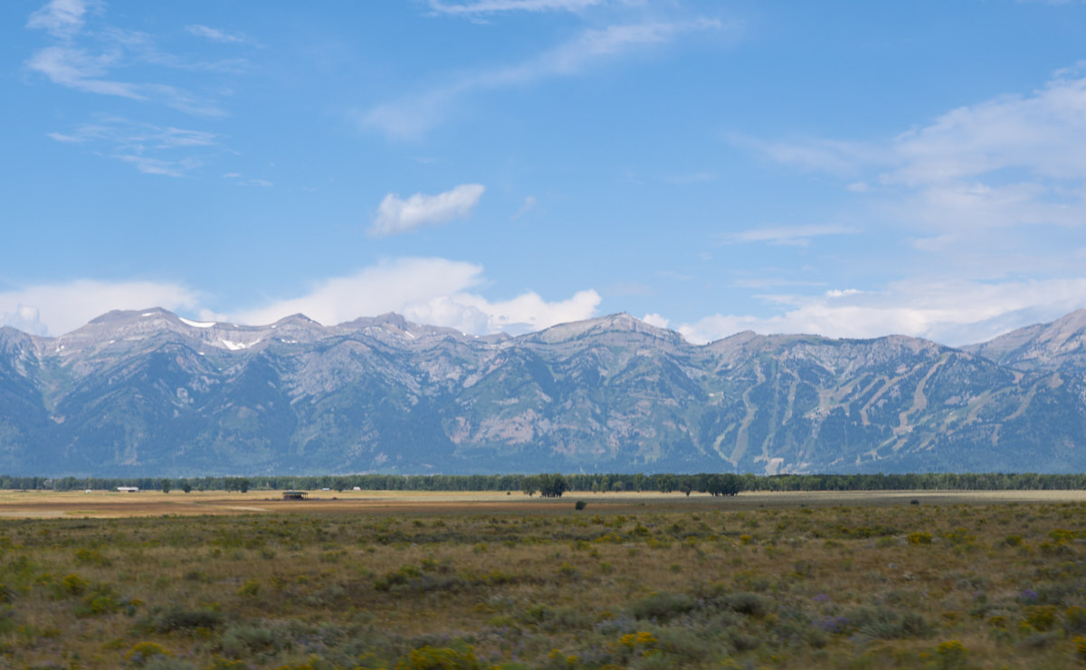
We got a
nice view of the Teton Village ski area north of Jackson.
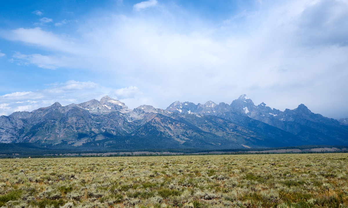
The
weather started to break a bit providing better views of the
Tetons.
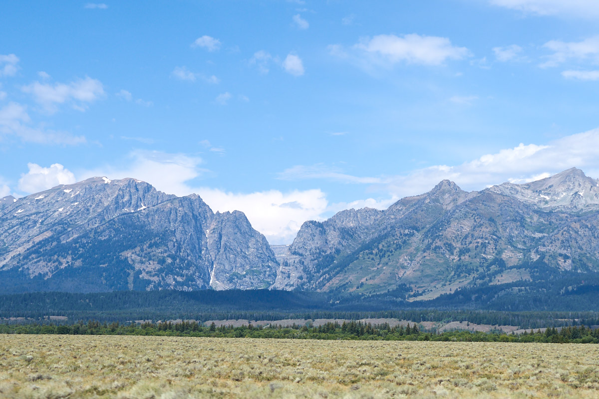
Note the
massive canyon in the face of the Teton range.
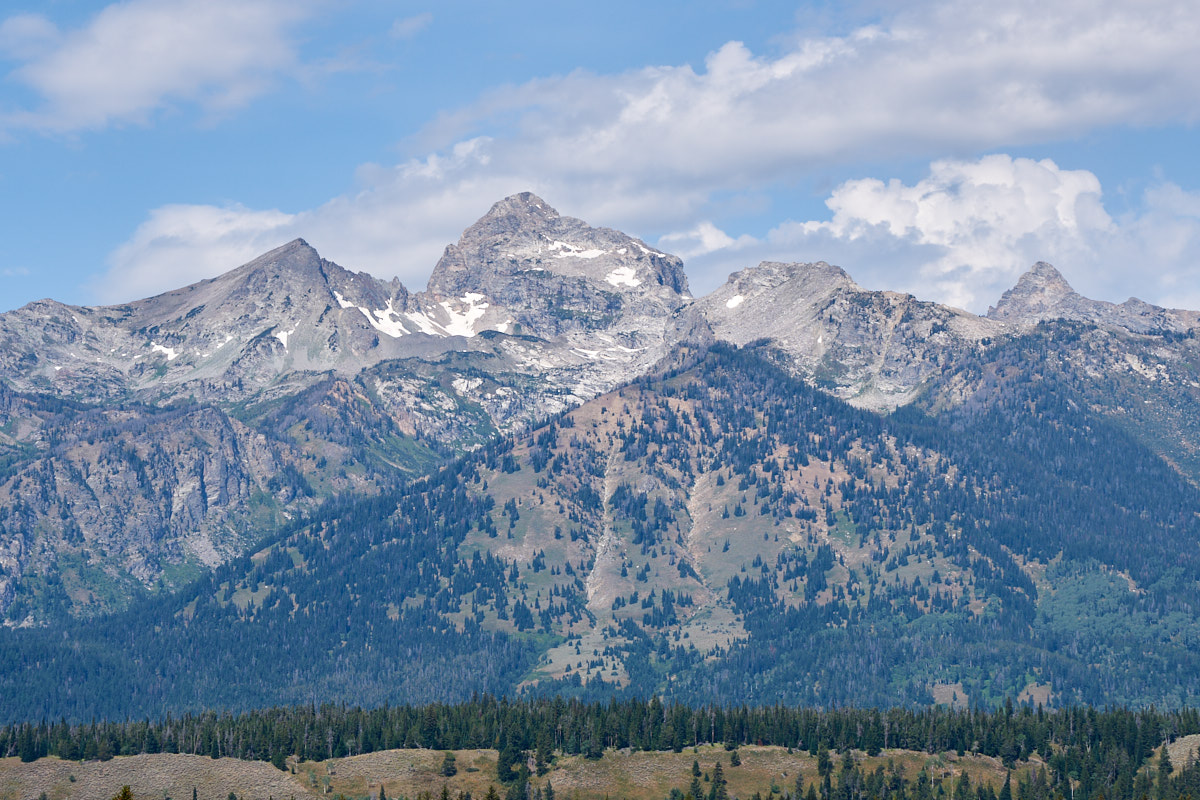
The
upper peaks still had snow fields left over from the winter
storms.
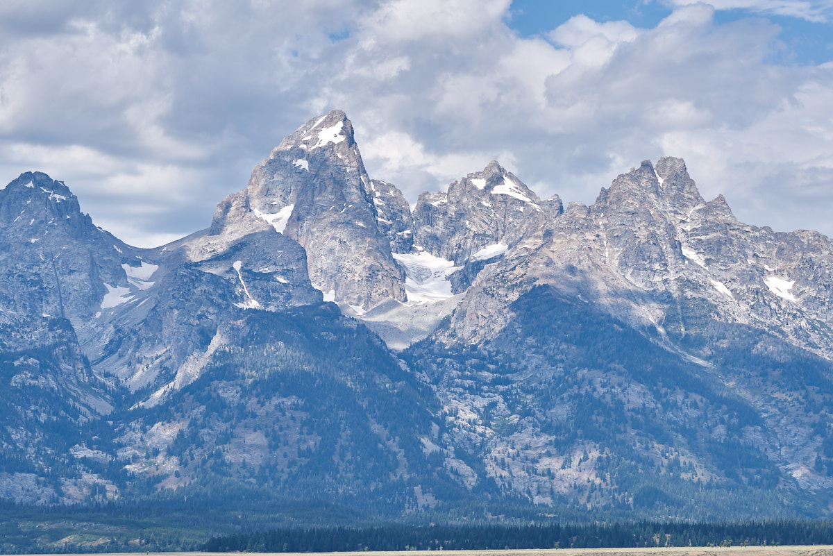
Grand
Teton is the largest peak in the range.
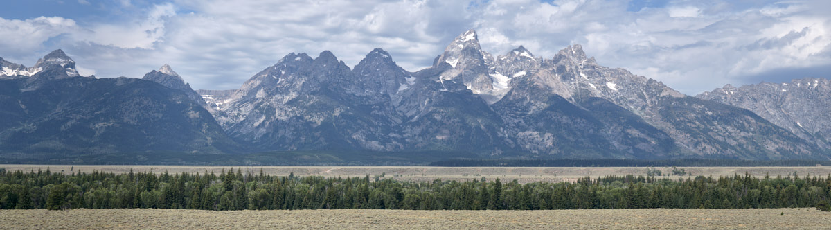
A
multi-shot panorama shows a nice view of the Tetons.
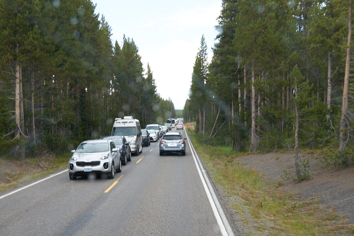
Once in
Yellowstone park we encountered massive amounts of
traffic. The traffic issues were compounded by road
construction that reduced the traffic to one lane.
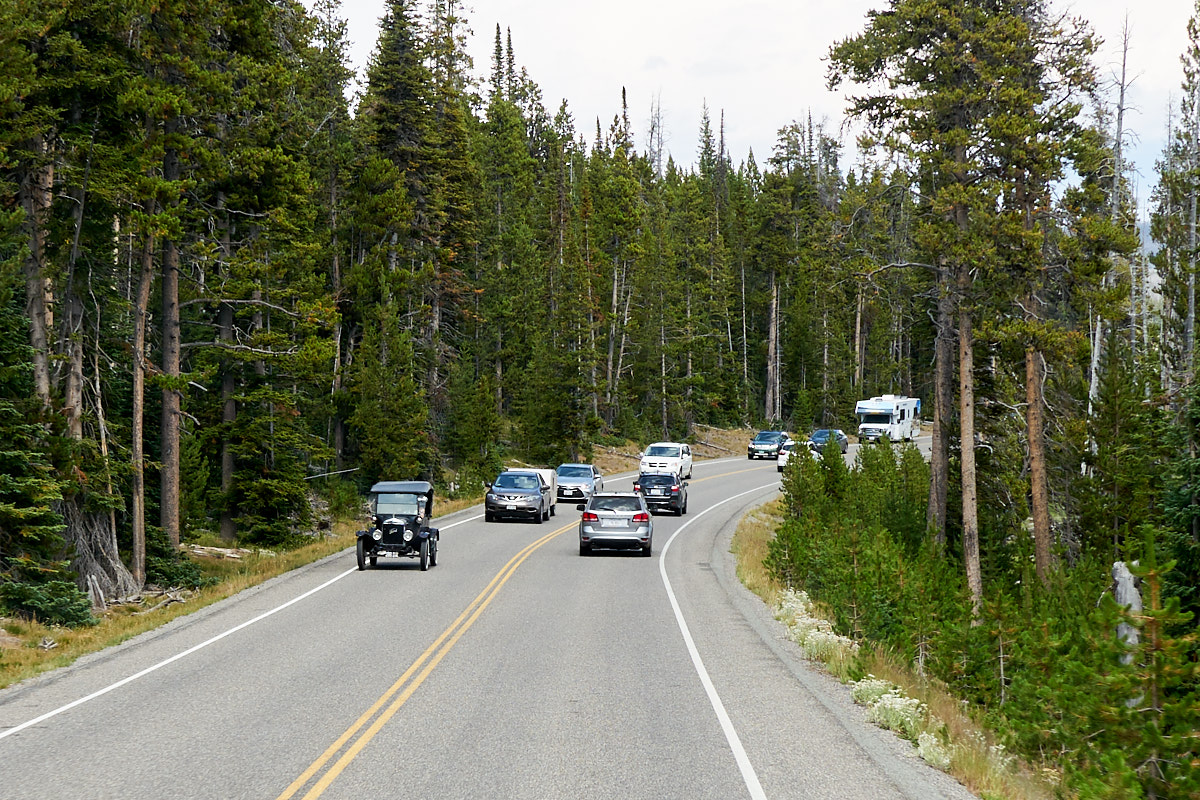
Further
north into the park we encountered a Ford Model A in the
oncoming traffic.
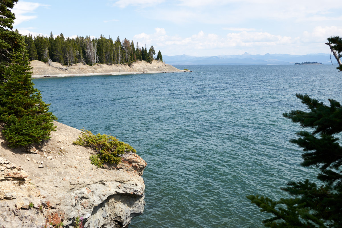
From a
pull-out we got a nice view of Yellowstone Lake.
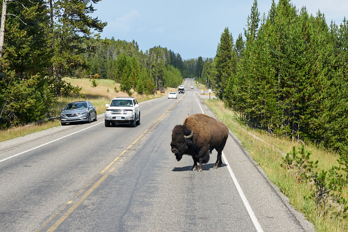
Closer
to the eastern entrance we encountered bison on the
roadway. The bull knew the traffic was there but did not
care. He waited until Thor got right up to his face before
he moved.
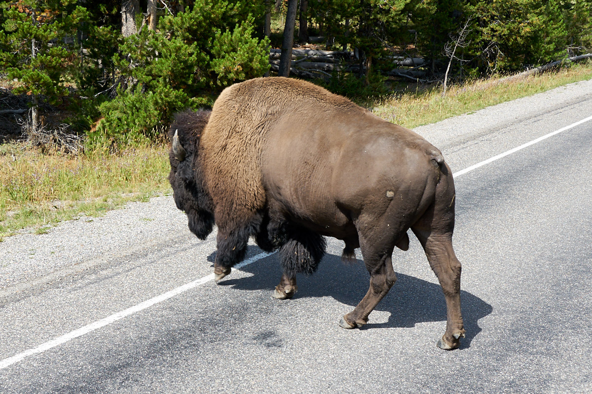
The bull
just sauntered across the road stopping traffic in both
directions.
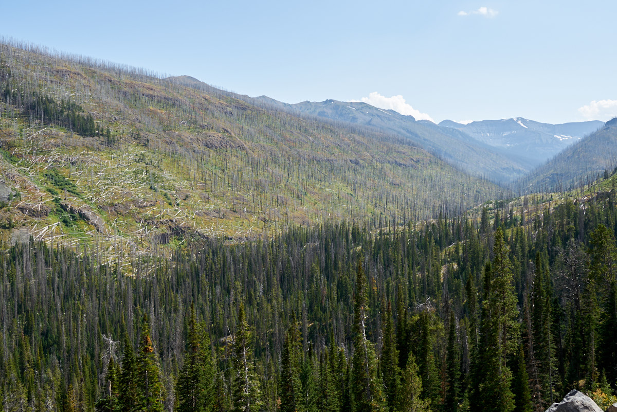
Since
our last visit to the area, Yellowstone has suffered many large
fires resulting in huge swaths of burned areas.
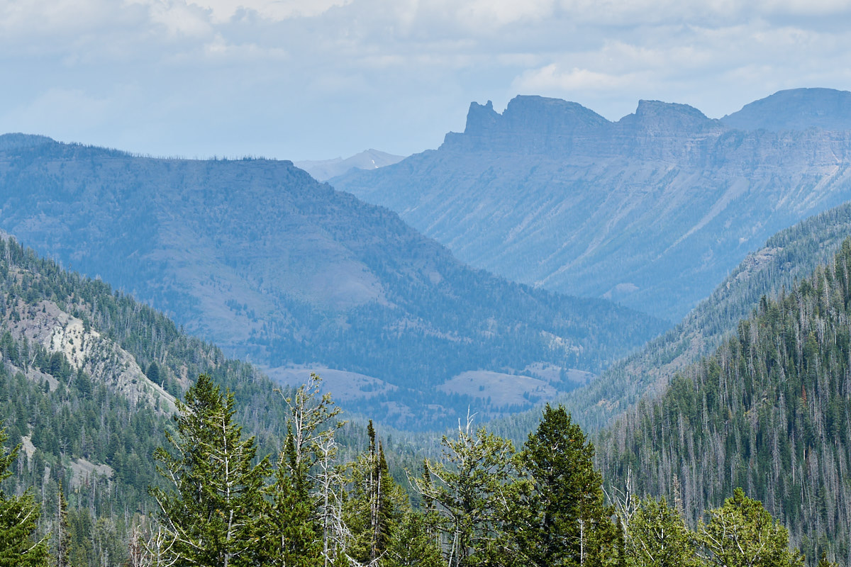 '
'From the
top of the pass we could see the peaks of the Absaroka
Range. The formation is called "Sleeping Giant"
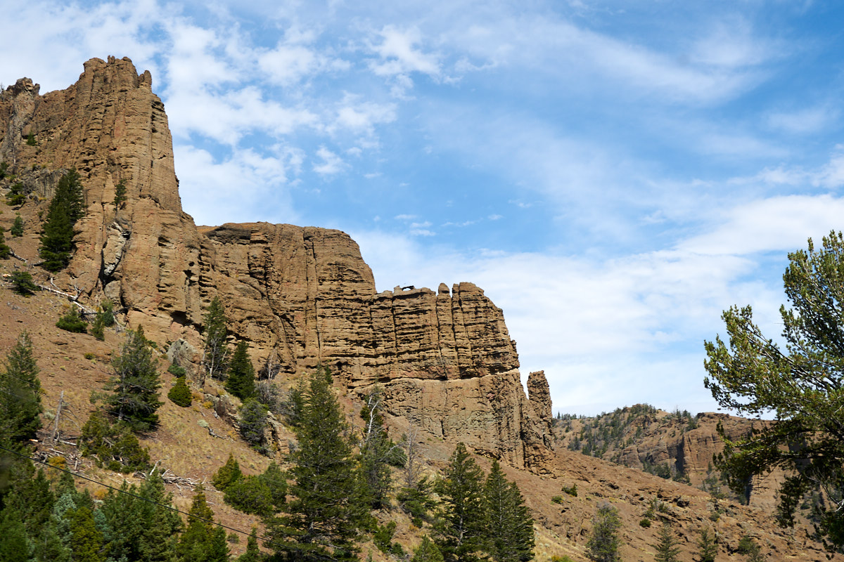
We
spotted an arch in one of the cliffs.
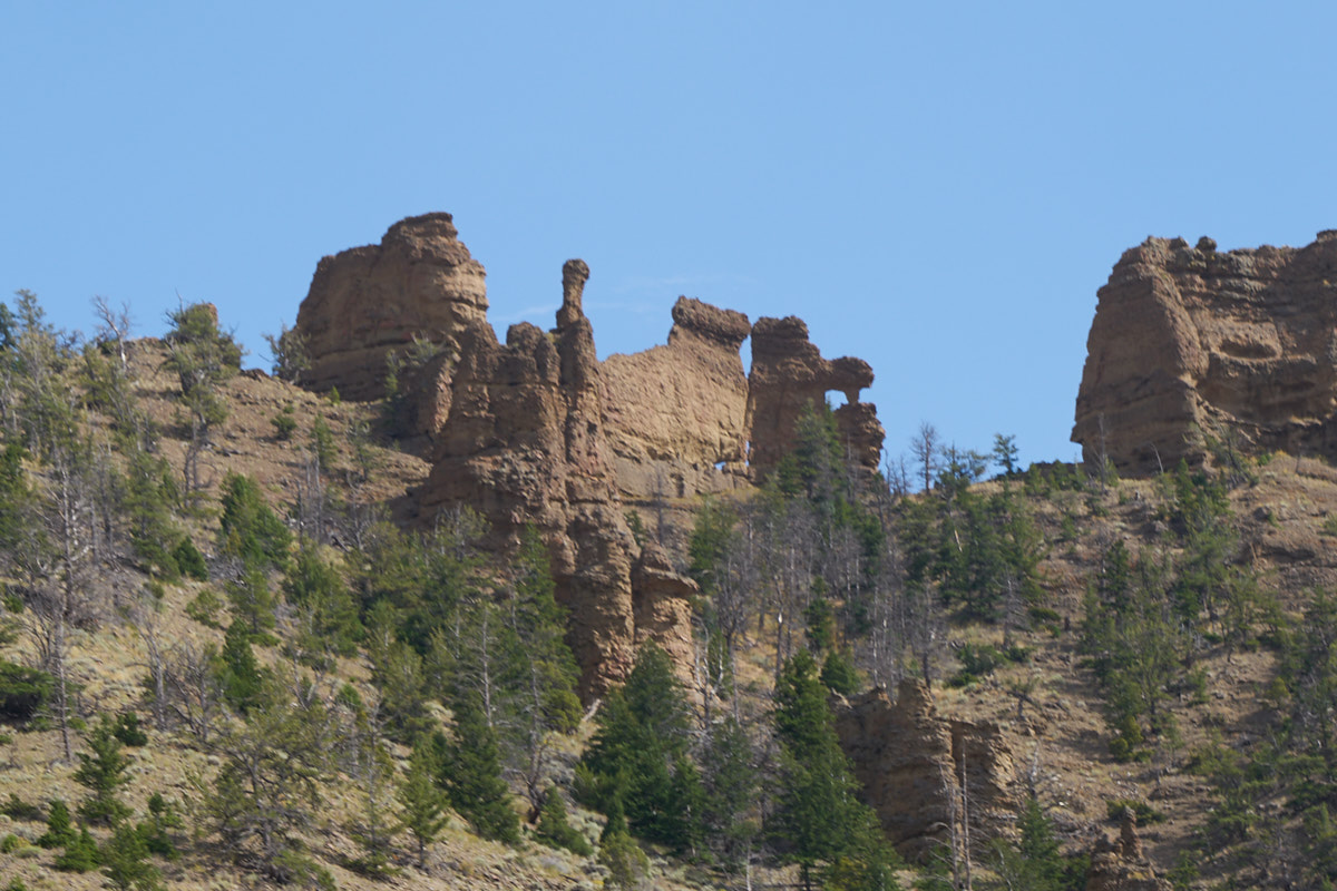
From the
highway we could see hoodos on the tops of the cliffs.
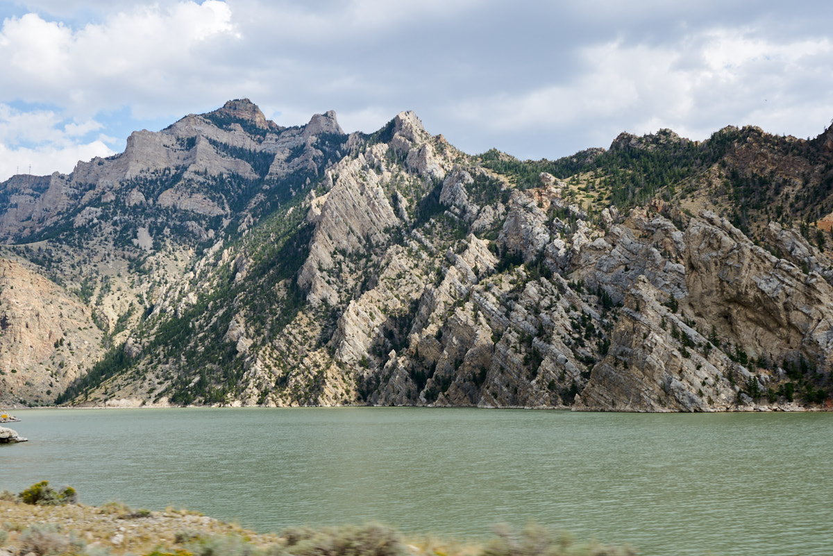
Near Buffalo
Bill State Park we could see the bedding in the cliffs.
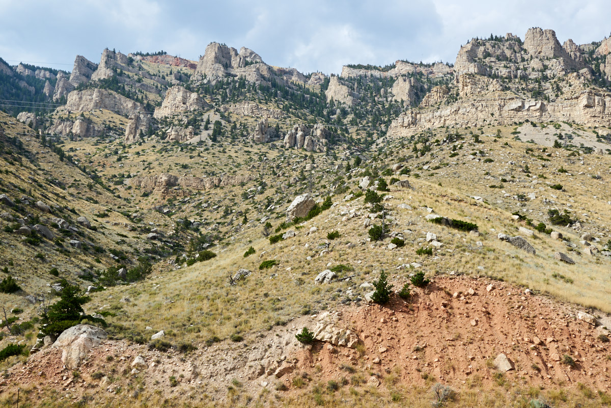
The
cliffs above the highway were steep and daunting. We did a
re-supply in Cody and then headed south on the South Fork of the
Shoshone River to our buddy's ranch.
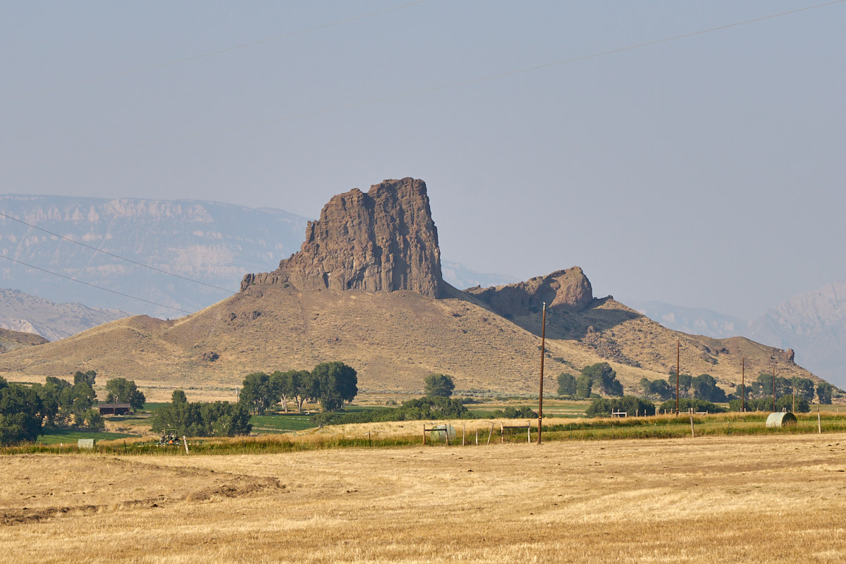
From
Bob's "Lost Ranch" we could clearly see Castle Rock.
Castle Rock is a volcanic plug that has eroded to expose the
core.
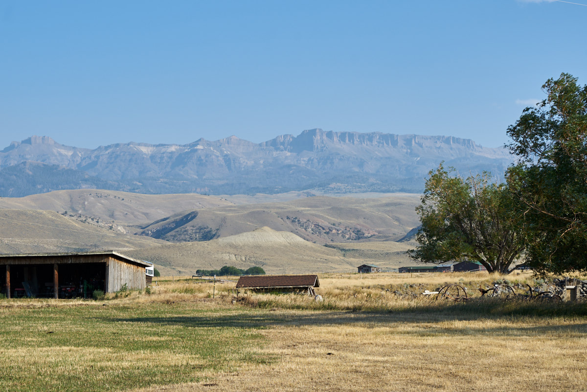
To the
south of Lost Ranch were the cliffs of Carter Mountain.
The top of the ridge is 12,000 feet.
| Previous Adventure | ||
| Trip Home Page |
Photos and Text Copyright Bill Caid 2017, all rights
reserved.
For your enjoyment only, not for commercial use.