Trip Report
20160303
The photos below are
what we saw.
The path
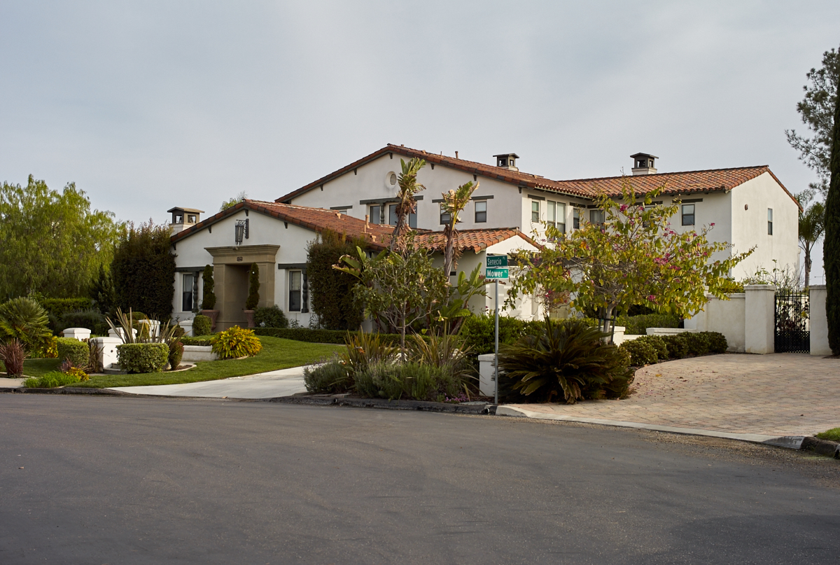
we chose to the waterfall required we park in a residential area
to reach the trail head. There were some very nice homes
in the area.
Northern
San Diego has some nice homes, but we had never been in this
specific area before and was surprised by the sizes of some of
the dwellings. The whole structure is not visible because
the trail is heading into a side canyon, but just based on the
roof line, this is a big home.
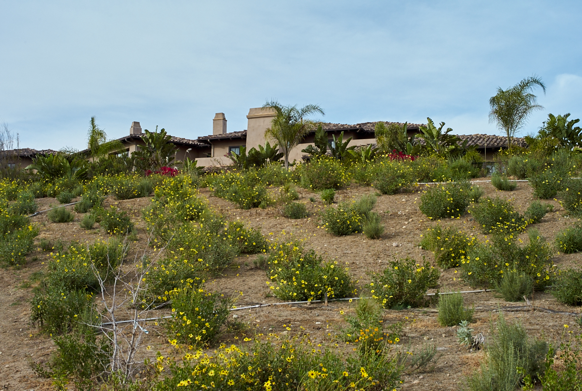
As we
followed the trail we got restricted views of the homes in the
are, but what we could see was impressive. Many of the
homes had large, ground-mounted solar arrays.
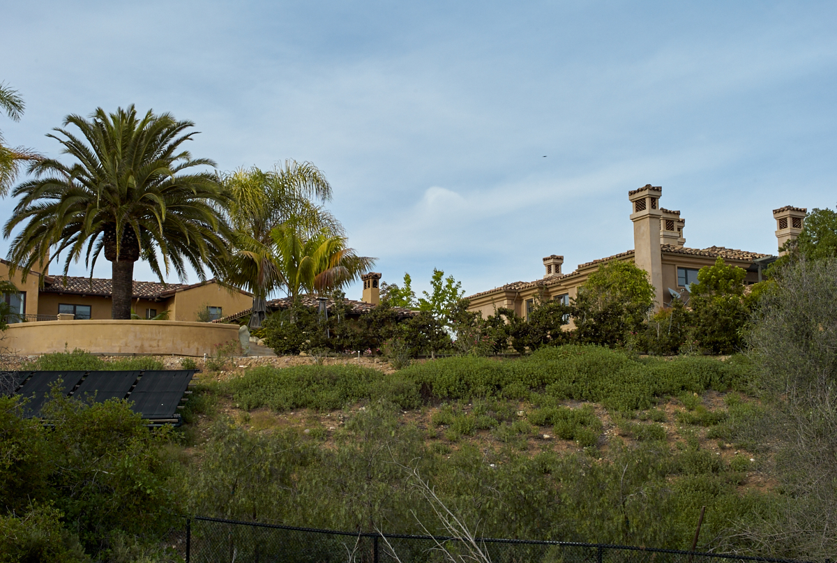
Further
into the upper reaches of a side canyon allowed us to see some
isolated homes with nice landscaping.
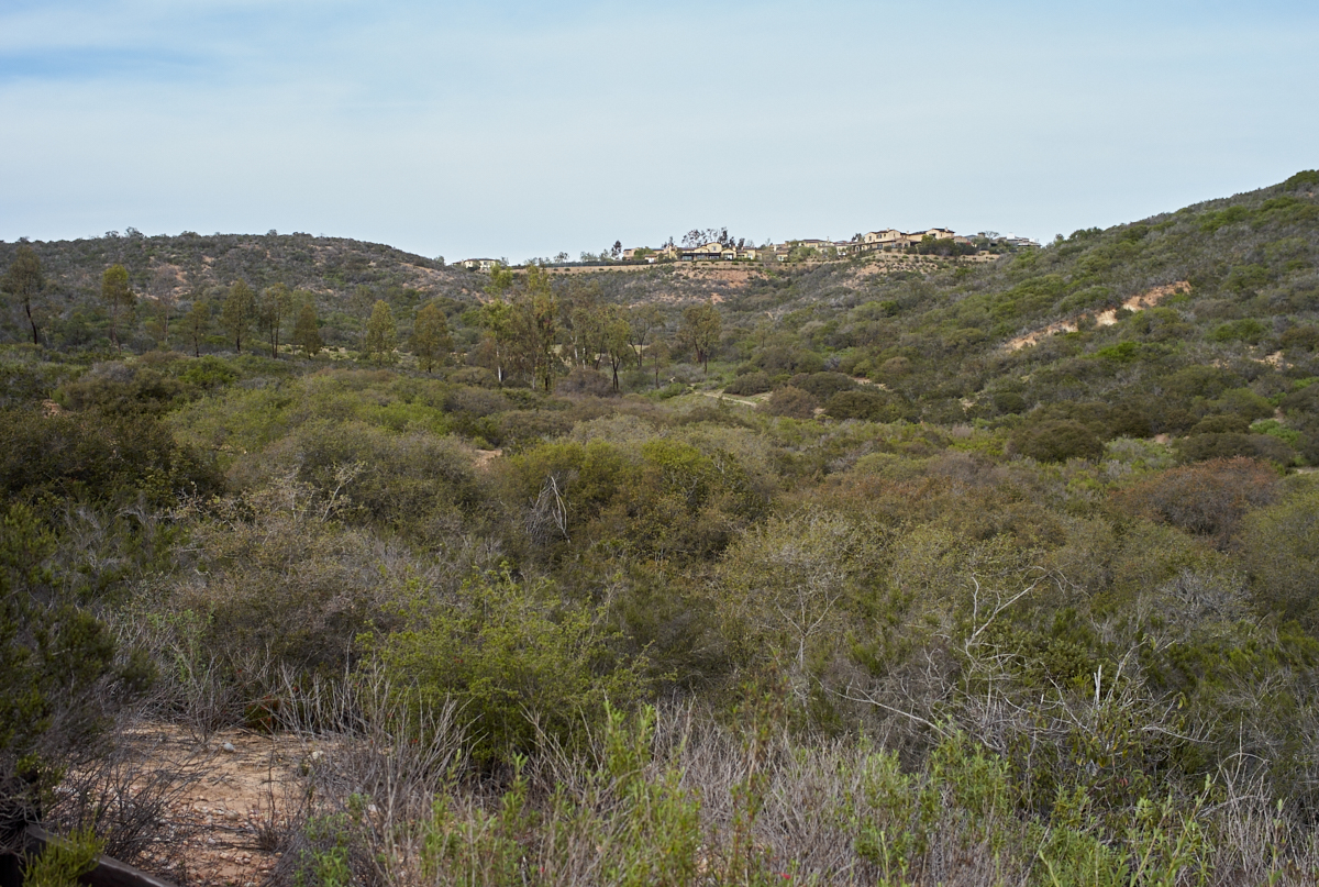
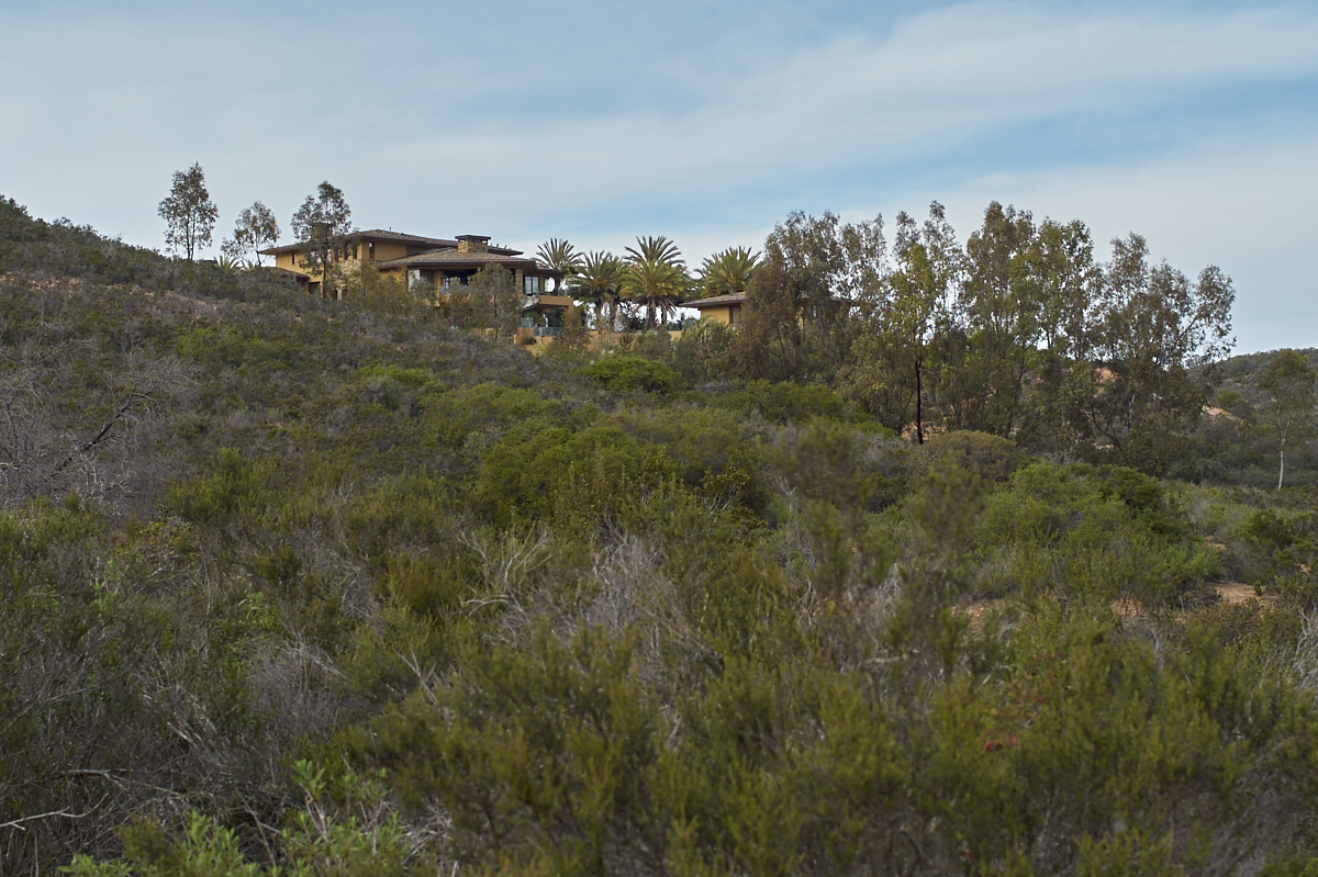
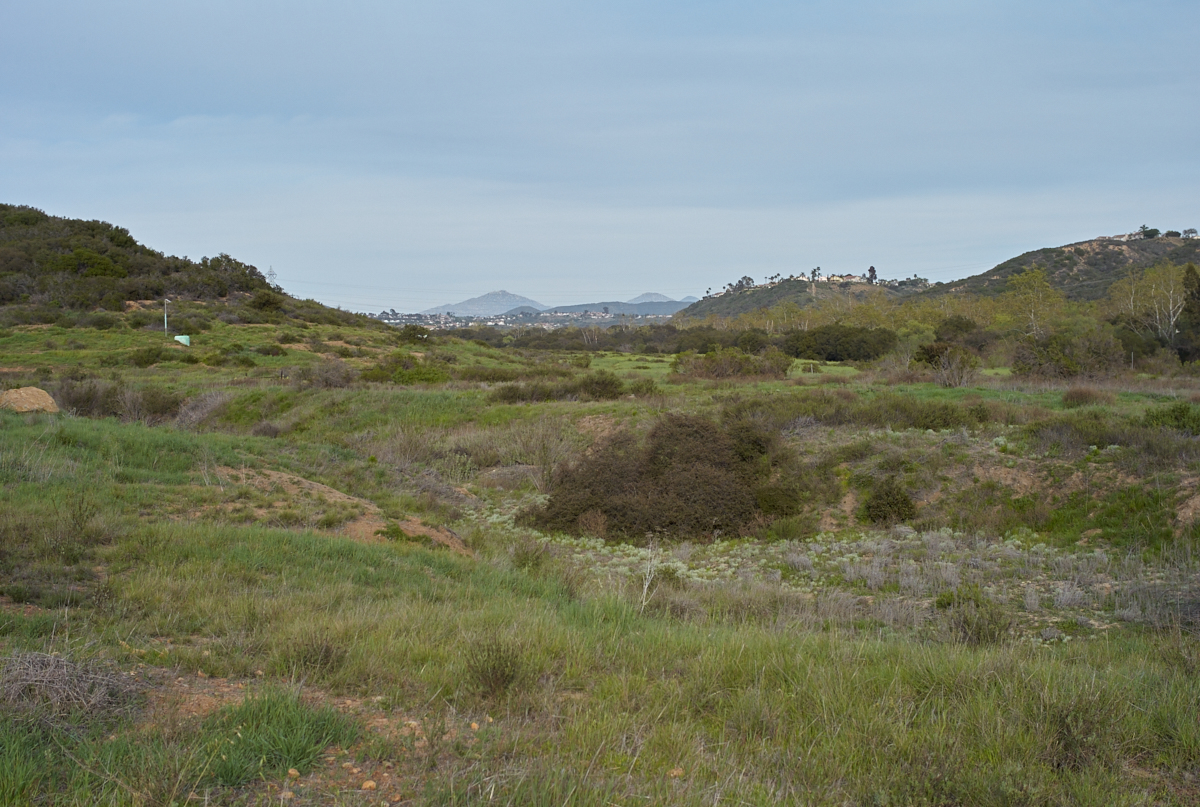
The
distant ridges to the northeast had homes on the canyon
rim. The canyon is part of the reserve.
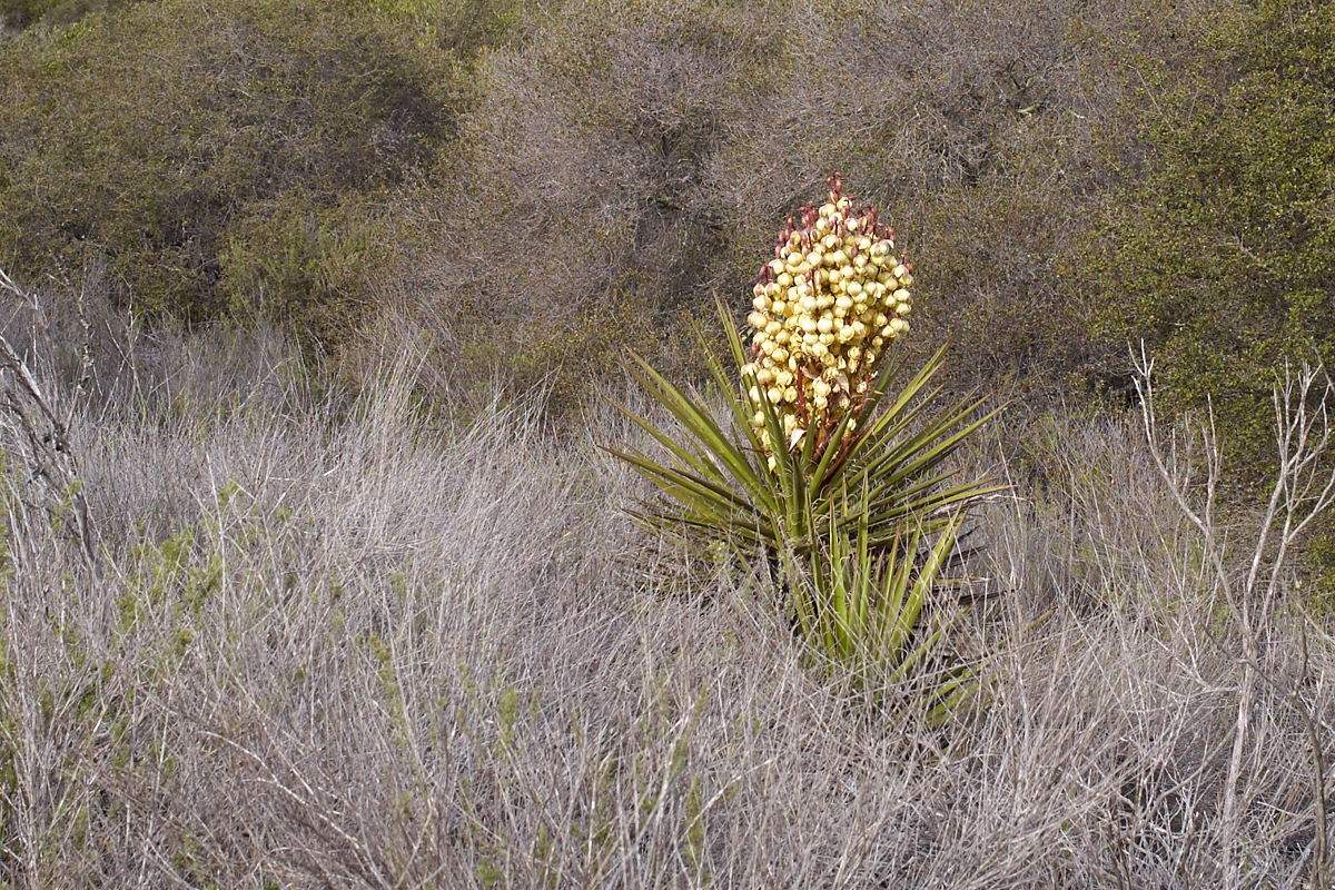
Near the
bottom of the side canyon we spotted this yucca in bloom.
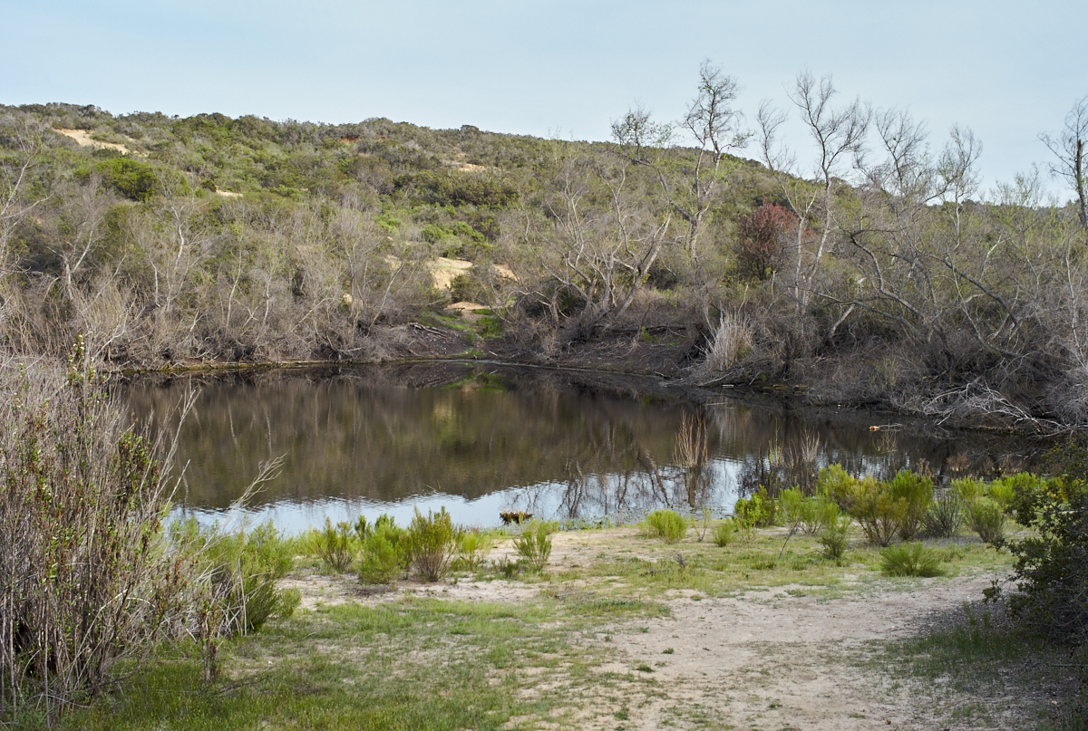
There
was a man-made retaining pond at the bottom of the canyon.
The existence of any standing water in this area is surprising.
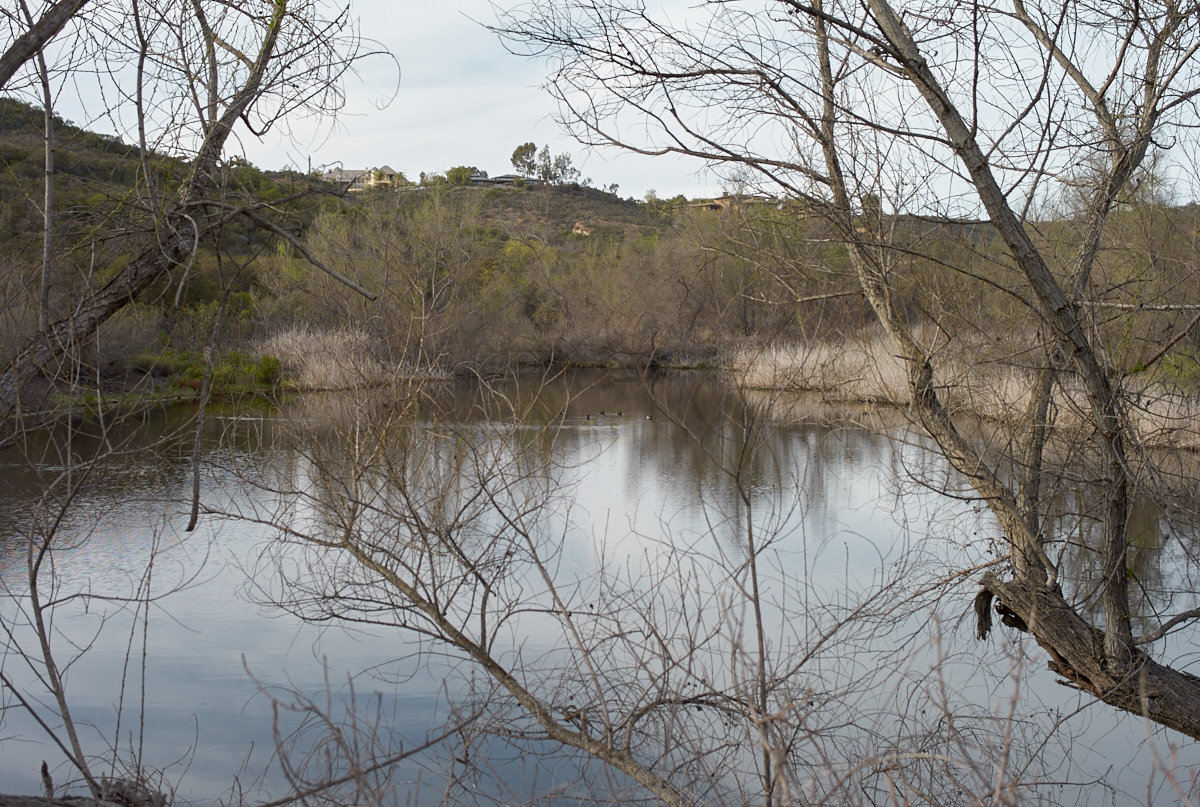
Looking
north up the side canyon we could see the large homes on the
canyon rim. Note the ducks on the pond.
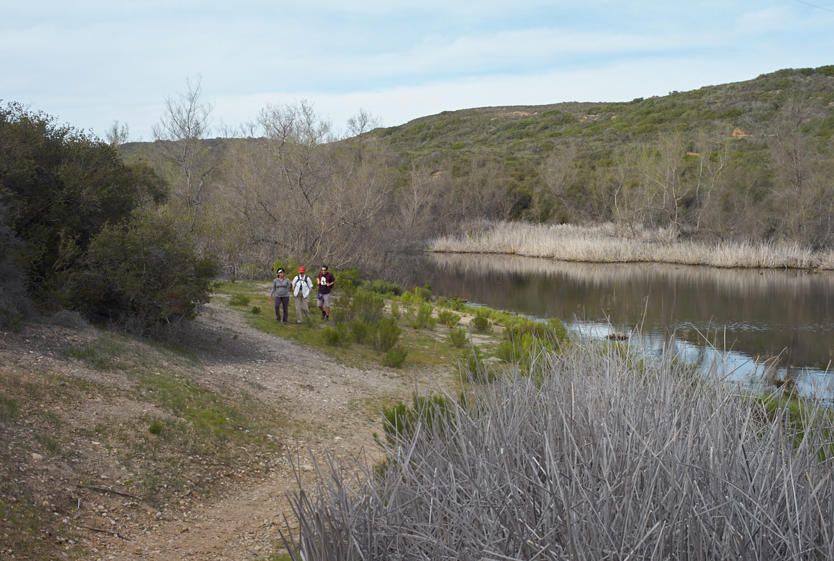
Robin,
Kathleen and Jerry finish looking at the ducks and we continued
on toward the main branch of Penasquitos Canyon.
When we
reached the main canyon we could see Mount Woodson to the east.
The recent rains
caused most of the plants to be happy.
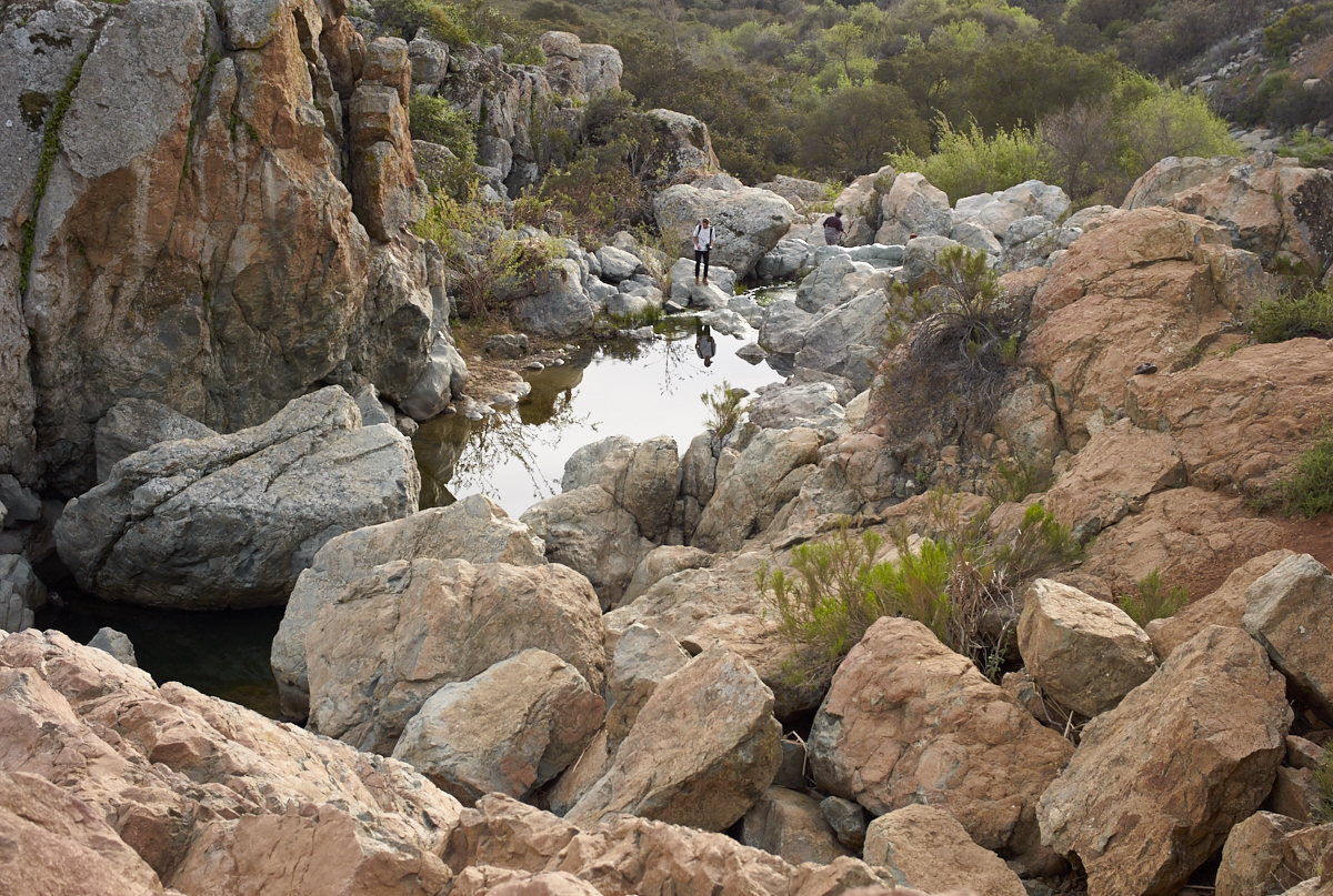
I was
surprised by the amount of rocks in the bottom of the
canyon. This is rather atypical for canyons in this area.
There
was a reasonable flow of water in the creek.
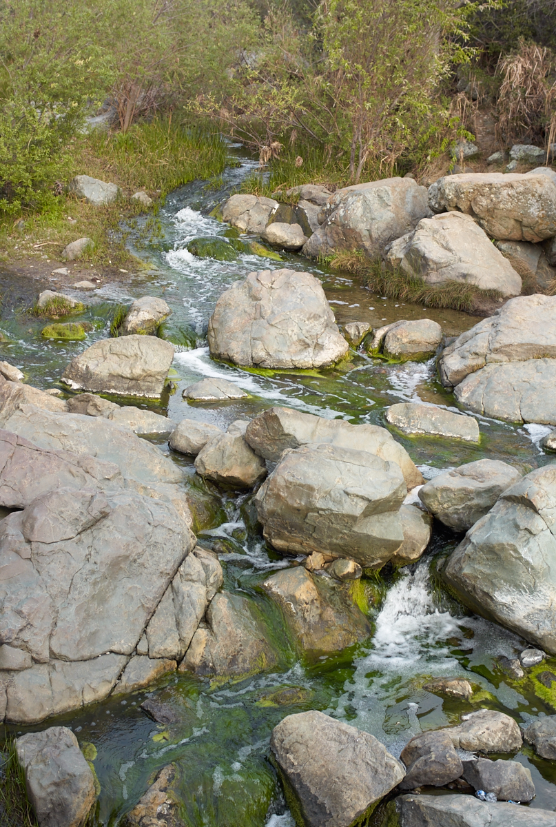
The
amount and type of the vegetation near the creek attests to the
persistence of water in the stream.
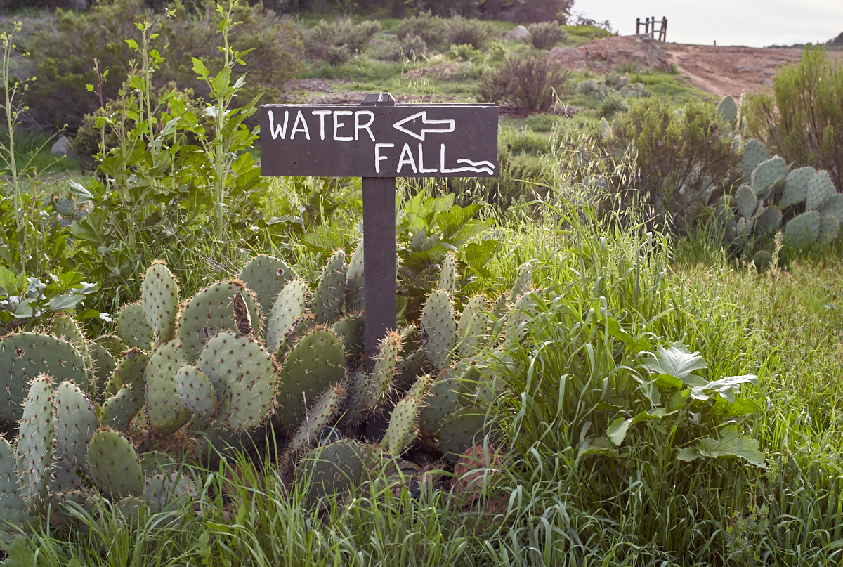
Photos
seemed to be the sport of the day.
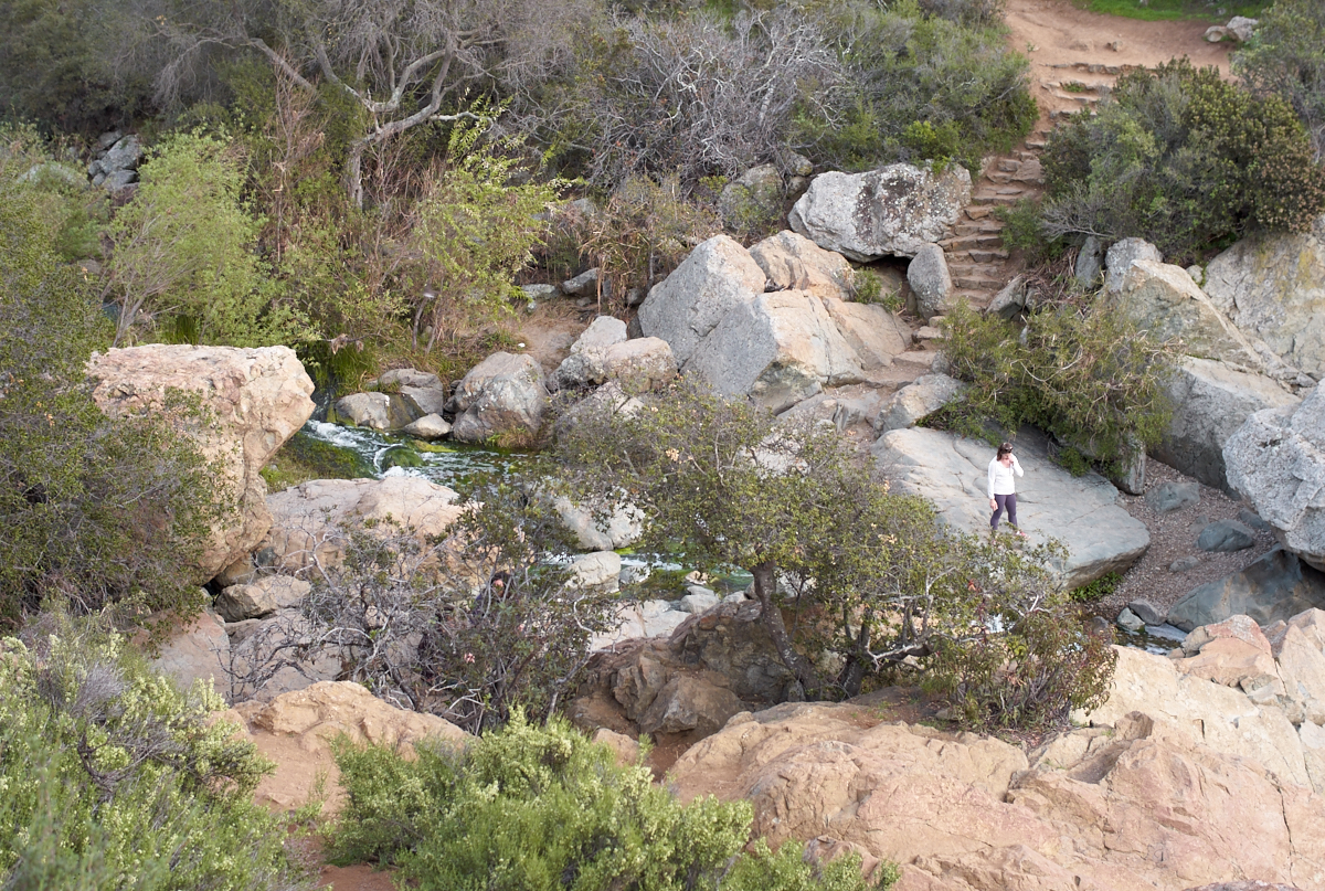
Stone
steps had been laid on the south side of the canyon wall.
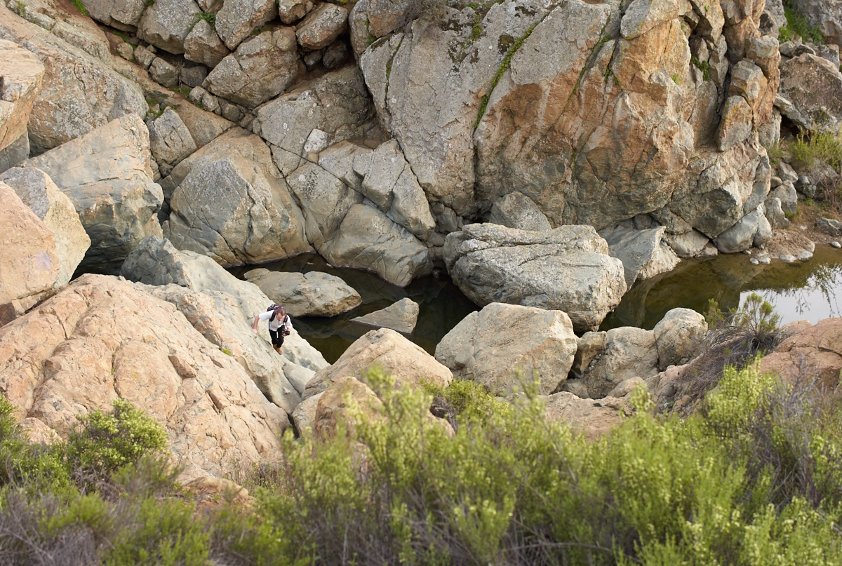
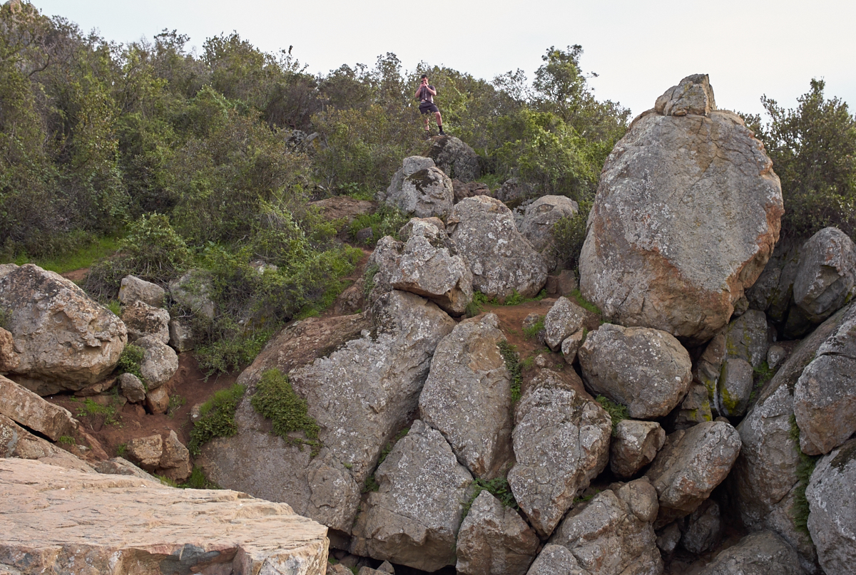
The
depth of the canyon can be estimated from the fellow climbing up
from the water.
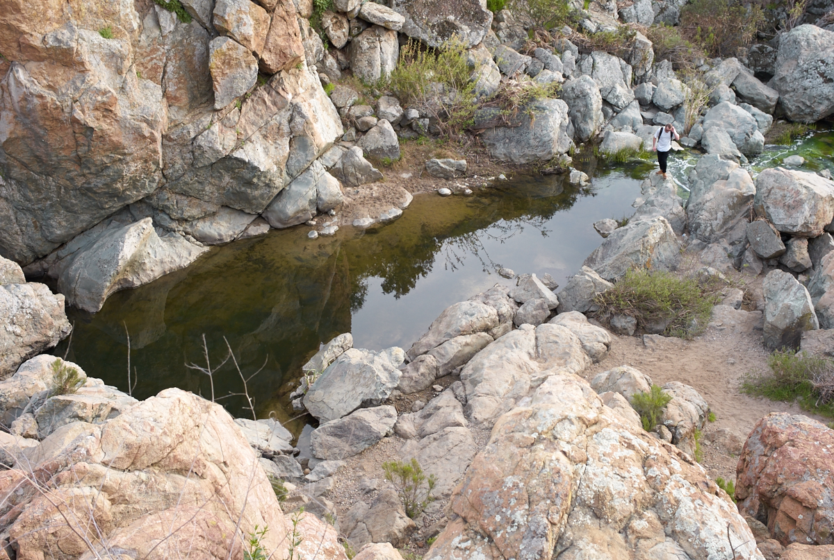
I later
photographed the same fellow in a different part of the canyon.
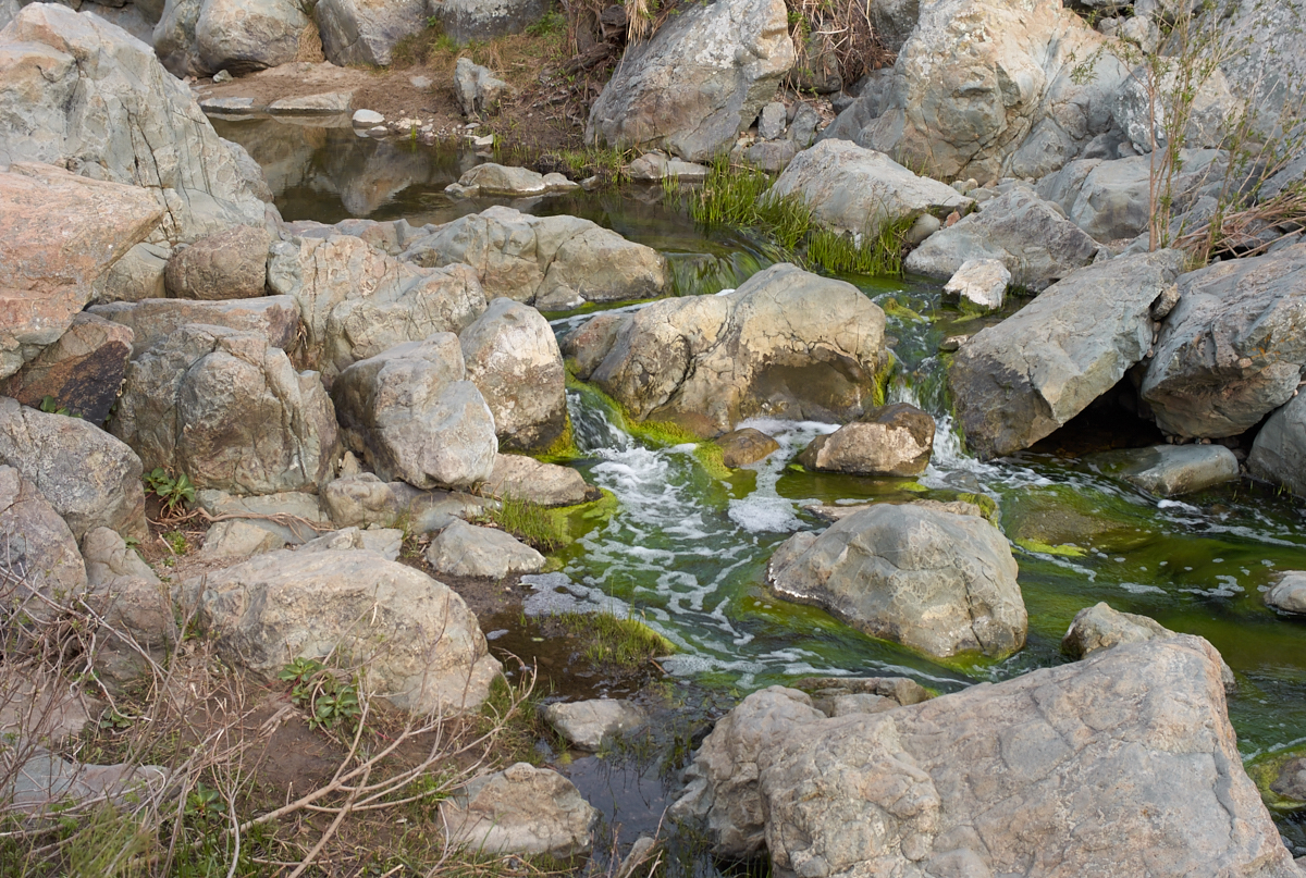
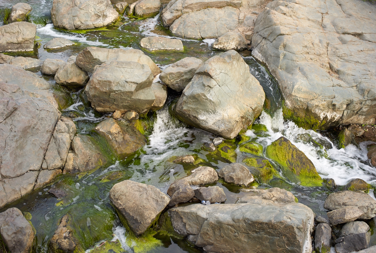
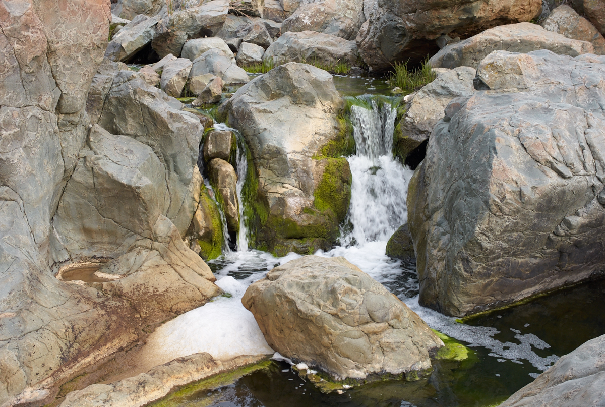
The
water made a pleasing sound as it poured over the rocks.
The foamy chud at the
base of this little cascade is a testament to the questionable
quality of the water in the creek. Much of this water is
"urban runoff" which comes from streets and storm sewers and is
usually laced with automobile drippings, animal droppings and
dish washing detergents.
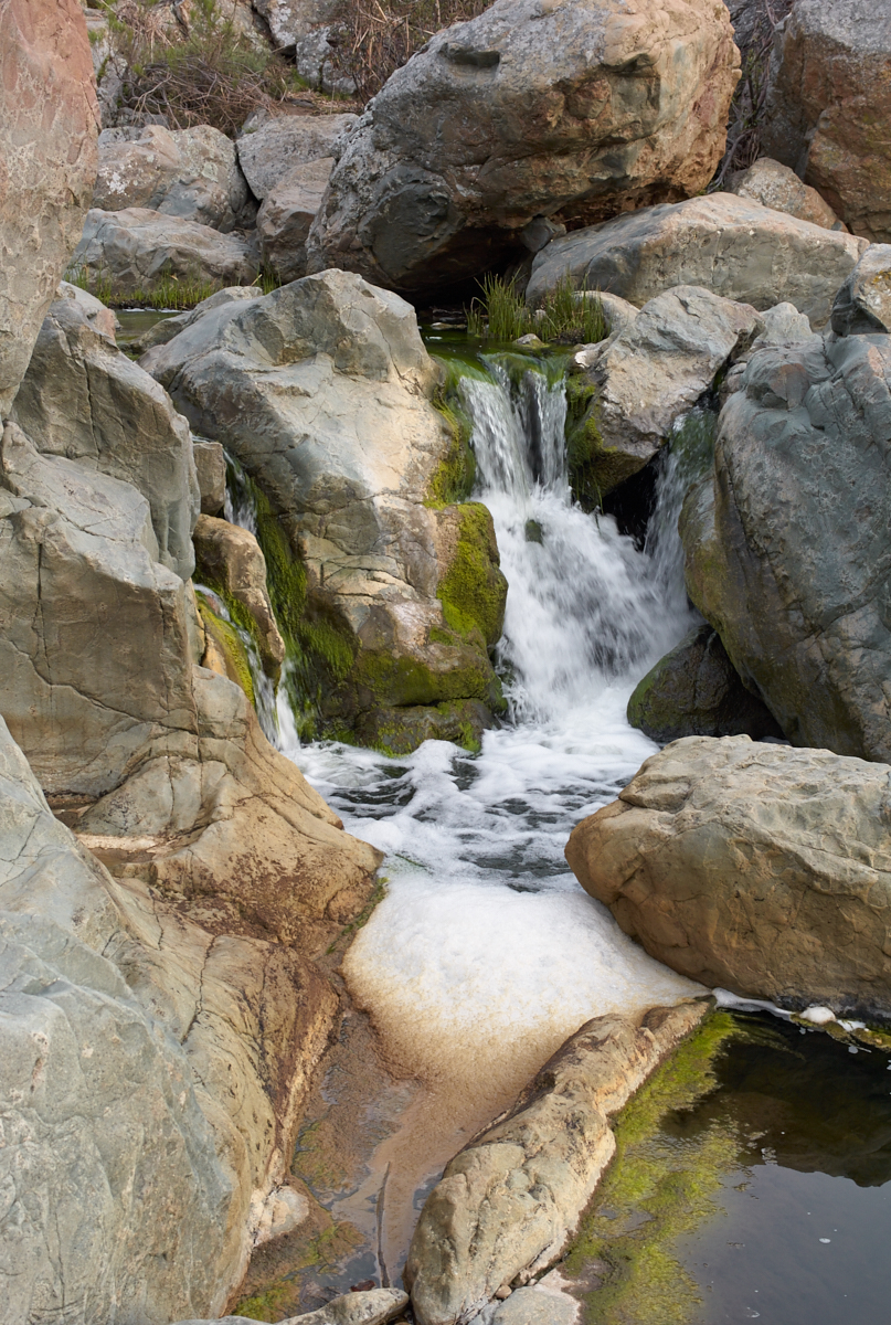
The water flow level
was small now, but note the erosion in the pocket of rock in
the left center of the photo above. This erosion is the
result of powerful hydraulic action over extended periods of
time. Clearly, this steam carried much more water in the
past to cause this level of erosion.
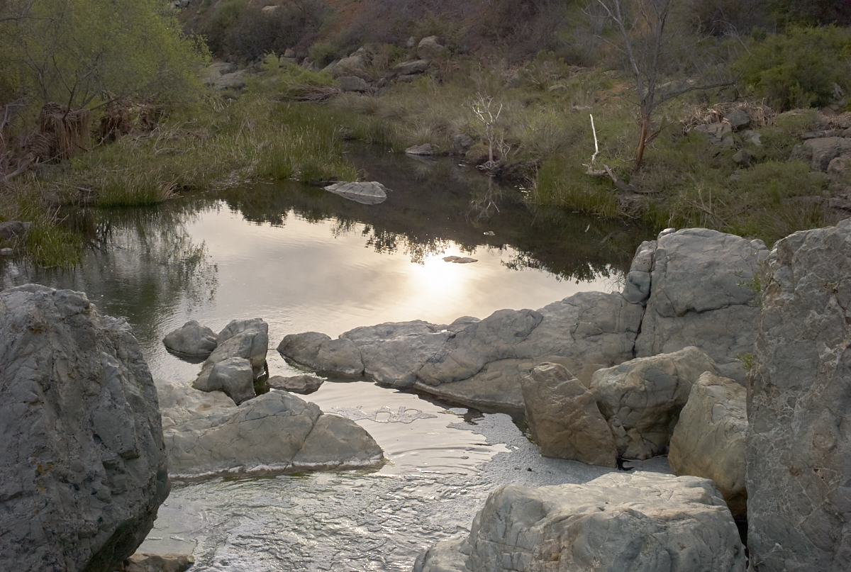
Below the set of
cascades was a tranquil pool.
It was nearly sunset so we headed out toward our car. The return path was uphill the whole way and we had several near-collisions with high-speed mountain bikes descending from the rim of the canyon.
PQ canyon
is remarkable because there is water. While this might
seem normal to anyone from an area with rain, it is rare indeed
in the arid southwest, particularly the coastal regions.
It is good that the city of San Diego had the foresight to
declare the area a park and keep it in its natural state.
PQ has many miles of hiking trails and it is worth a visit if
you are in the area.
Copyright Bill Caid 2016. All rights reserved.