We left
our hotel in Kaanapali and headed toward a small town on the
east coast of Maui called Hana. The road to Hana is very
narrow with plenty of one lane bridges. For the most part,
the road follows steep cliffs through the jungle with only
occasional views of the water. Popular lore states that
there are over 600 turns in the road from the Maui isthmus to
Hana.
The photos below are what we saw.
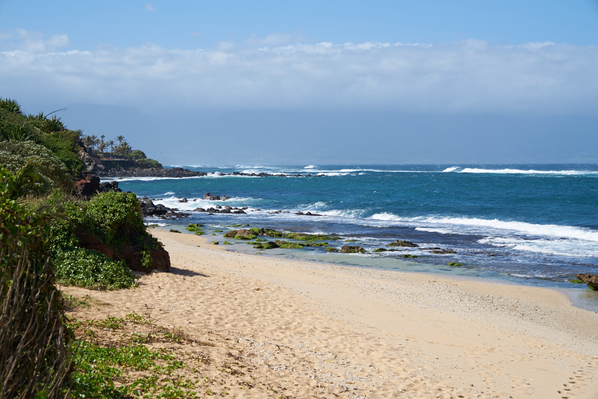
Still on
the isthmus, we came upon a turnout that allowed views of the
north shore surf. The north side of the island gets much
bigger waves due to its proximity to the Gulf of Alaska which is
the nursery for large Pacific storms, particularly in the winter
months.
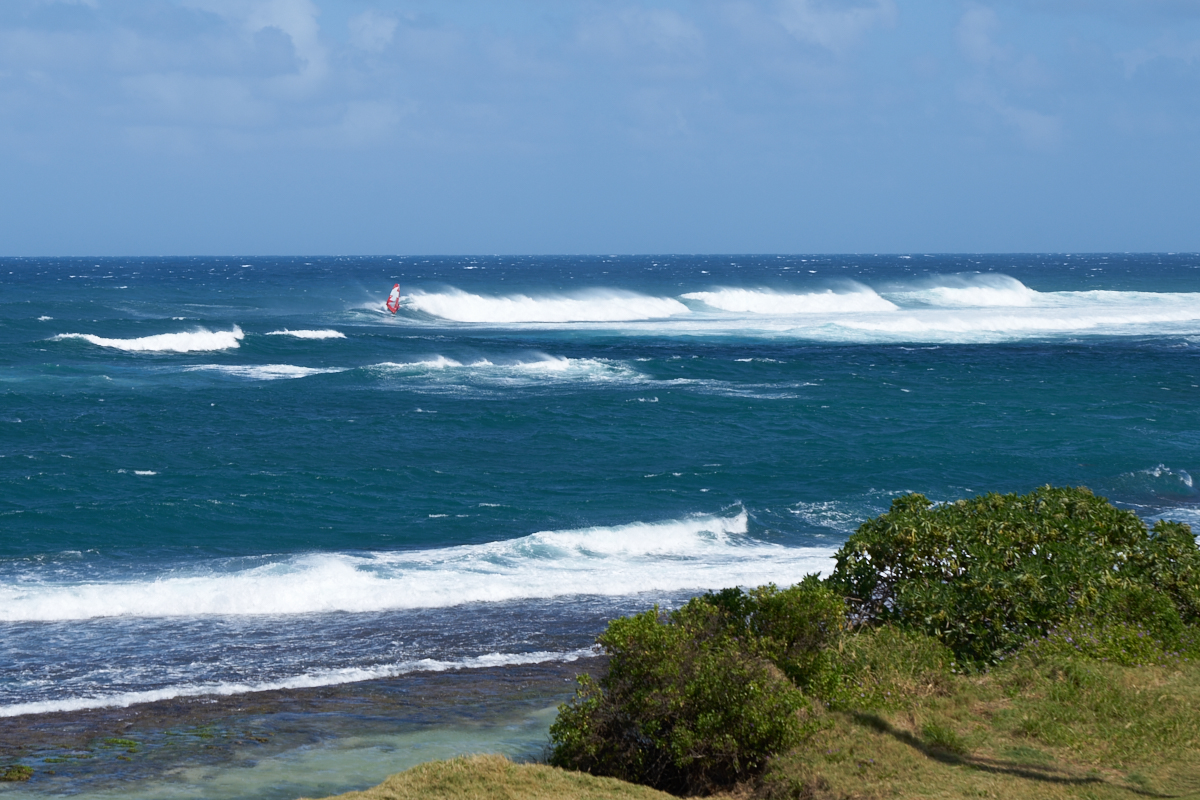
Strong
trade winds combined with high surf conditions draws wind
surfers.

The reef
just off shore provided an area for boogie boarders.
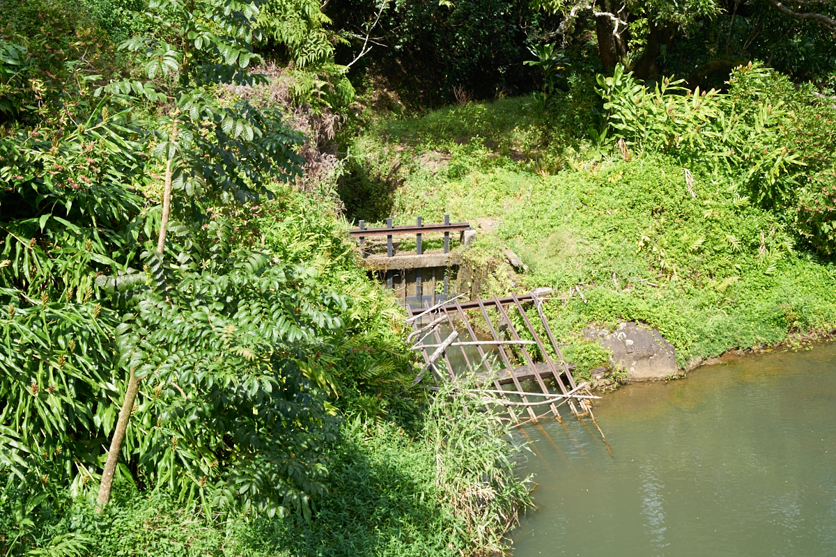
The road
left the beach areas and started a climb up the cliffs into the
jungle. The road was built in 1928 and provided land
access to the locals to areas that were otherwise only
accessible via boat. The early sugar cane plantation
owners created a canal system to divert jungle runoff on the
north side to the dry south side. Above, the remains of a
weir can be seen.

A small
check dam had been built to pool water for entry to the canal
weir.
Construction
of the canal infrastructure was a huge project back "in the day"
due to the remoteness of the area.
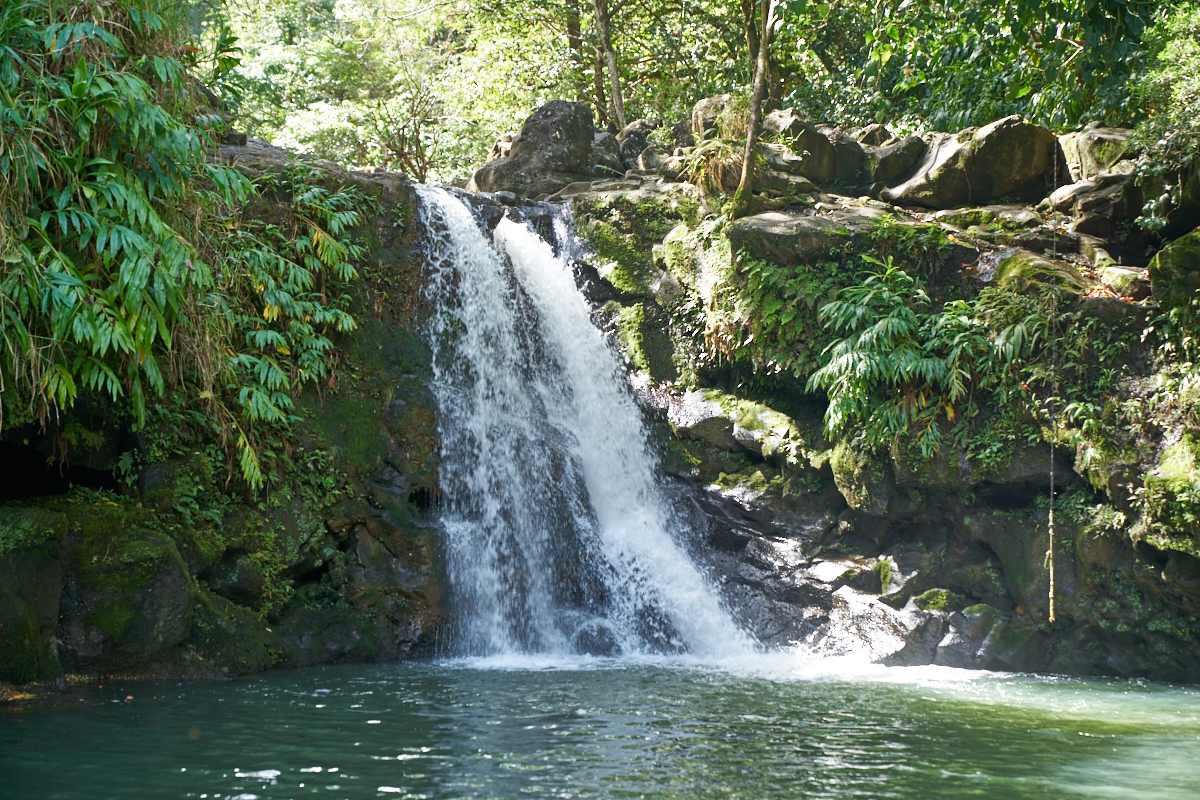
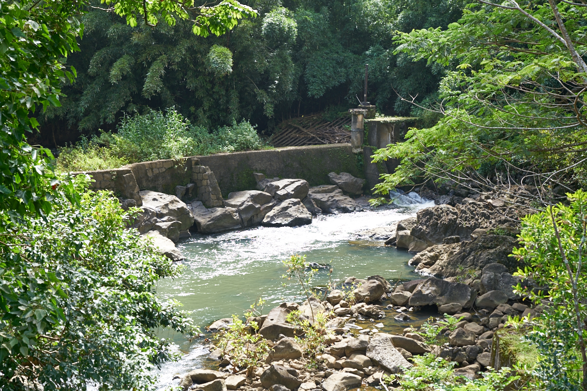
Further
up the road we came upon a small waterfall.
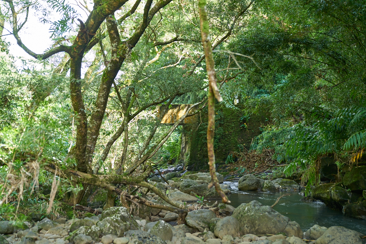
While
dismounted at the waterfall, a look in the opposite direction
showed the river channel and the concrete bridge for the road.

Stephanie,
Kathleen and Craig.

The road
went past the Keanae Aboretum. The plaque in the photo
above tells the story.
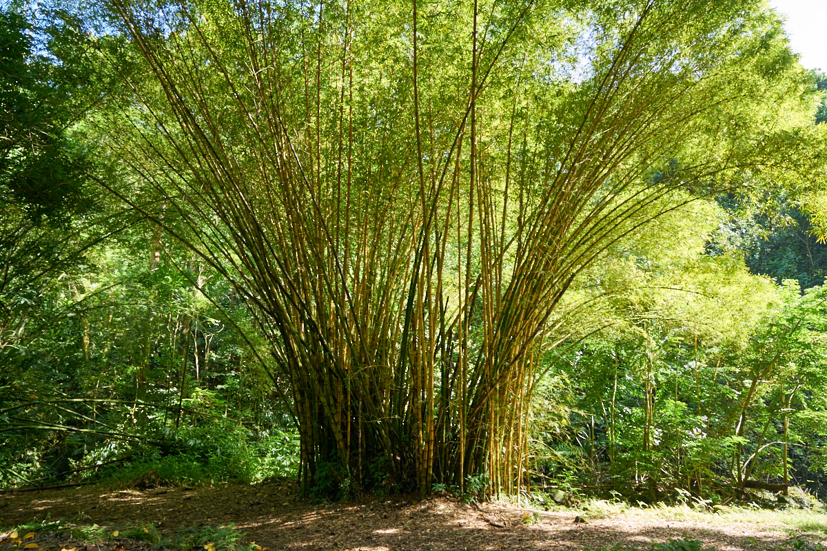
A stand
of bamboo at the aboretum.
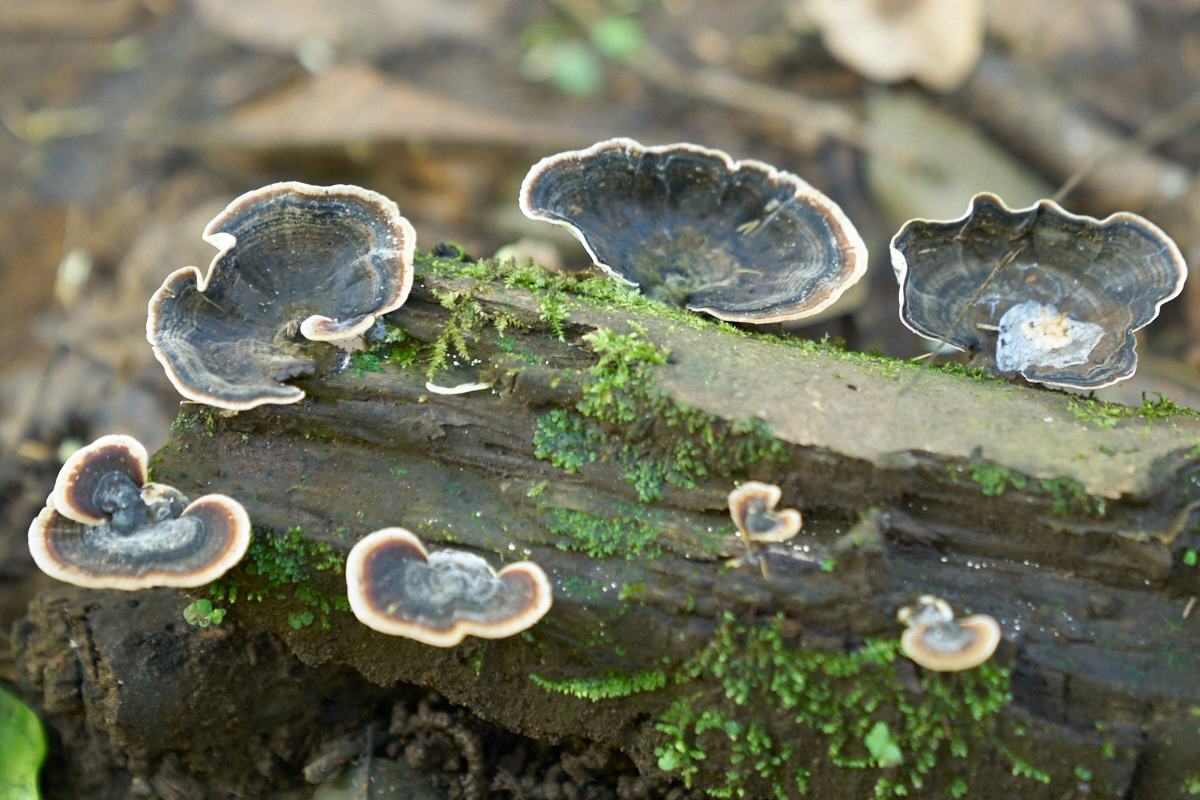
The
jungle wetness supports all manner of plant life including this
odd fungus.
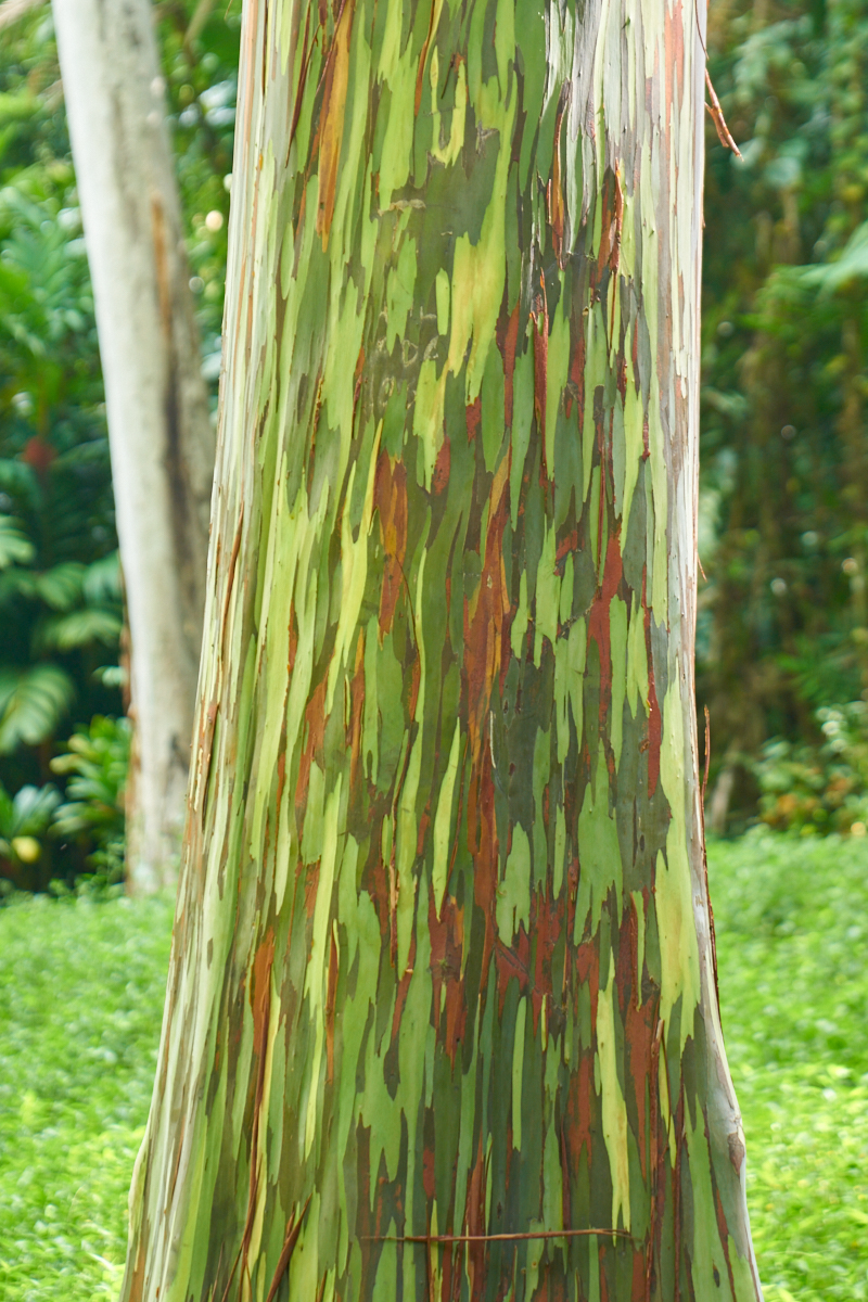
There
were a number of specimens of Rainbow Eucalyptus trees.

In the
jungle, the fight for survival centers on access to bright
sunlight. Plants that have robust structure, like big
trees, are used as a free ride to the sunlight. Vines and
creeping plants cover ever tree.
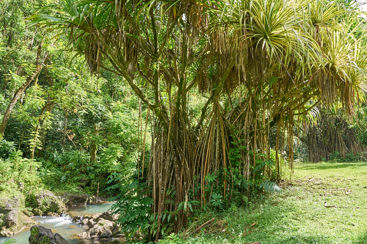
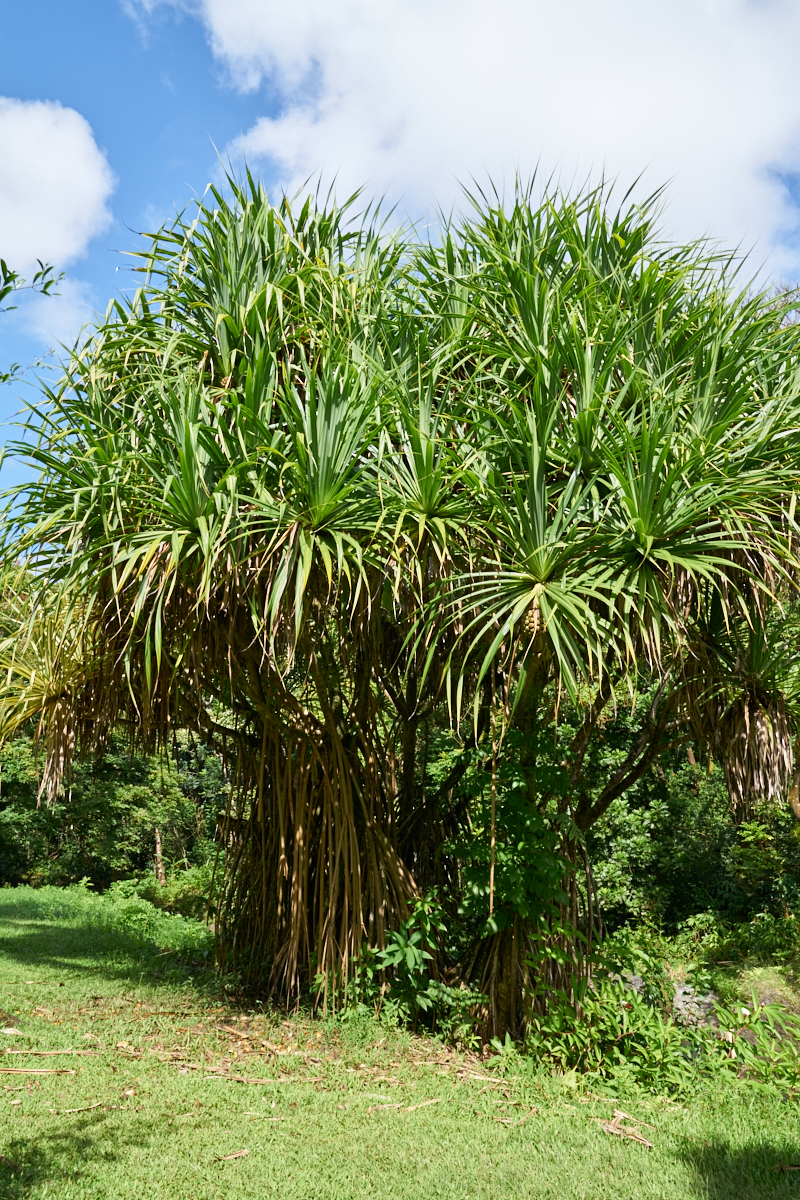
I should
have noted the name of this plant, but the multi-part root
structure is unique.
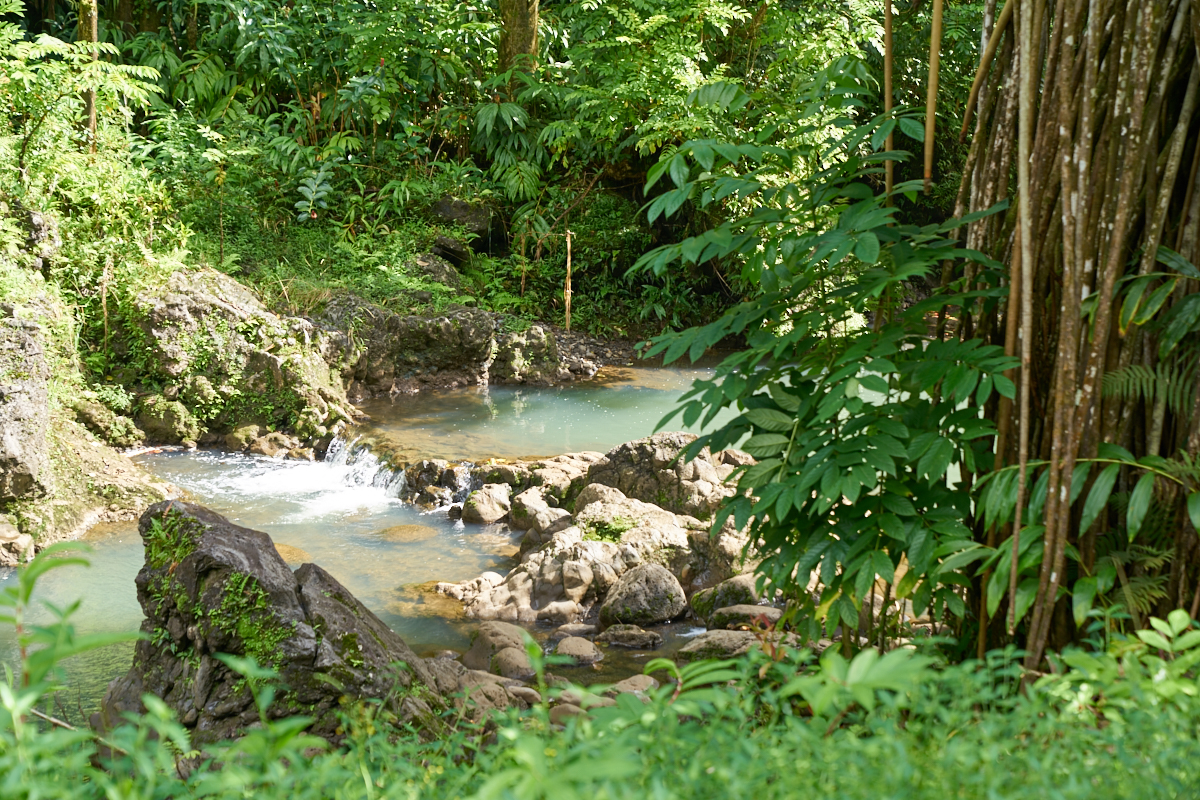
There
were many pools in the stream that flows through the arboretum.
Another
specimen of the multi-part root plant.
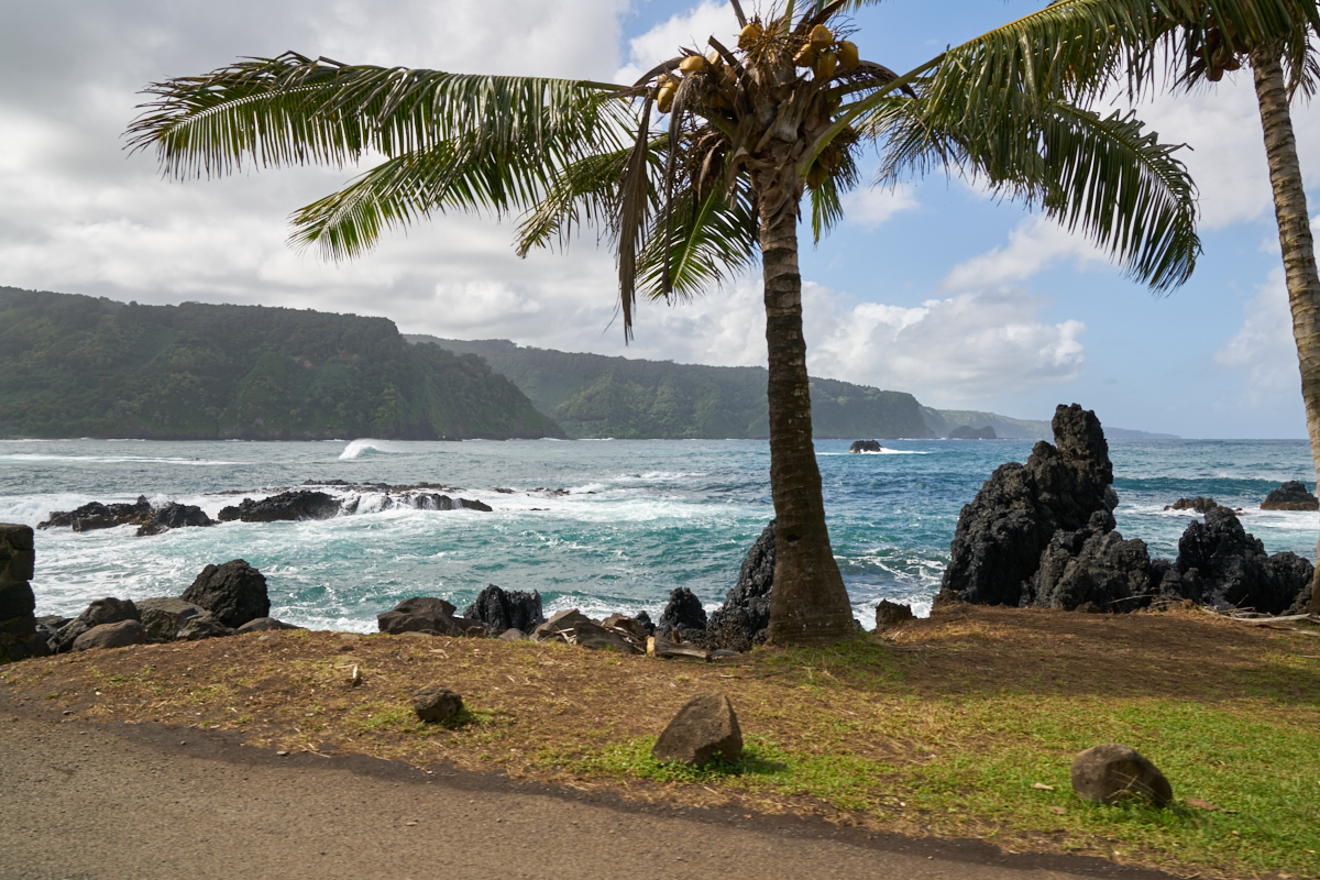
The road
wound its way down the cliffs to the ocean which gave us a view
across one of the small bays.

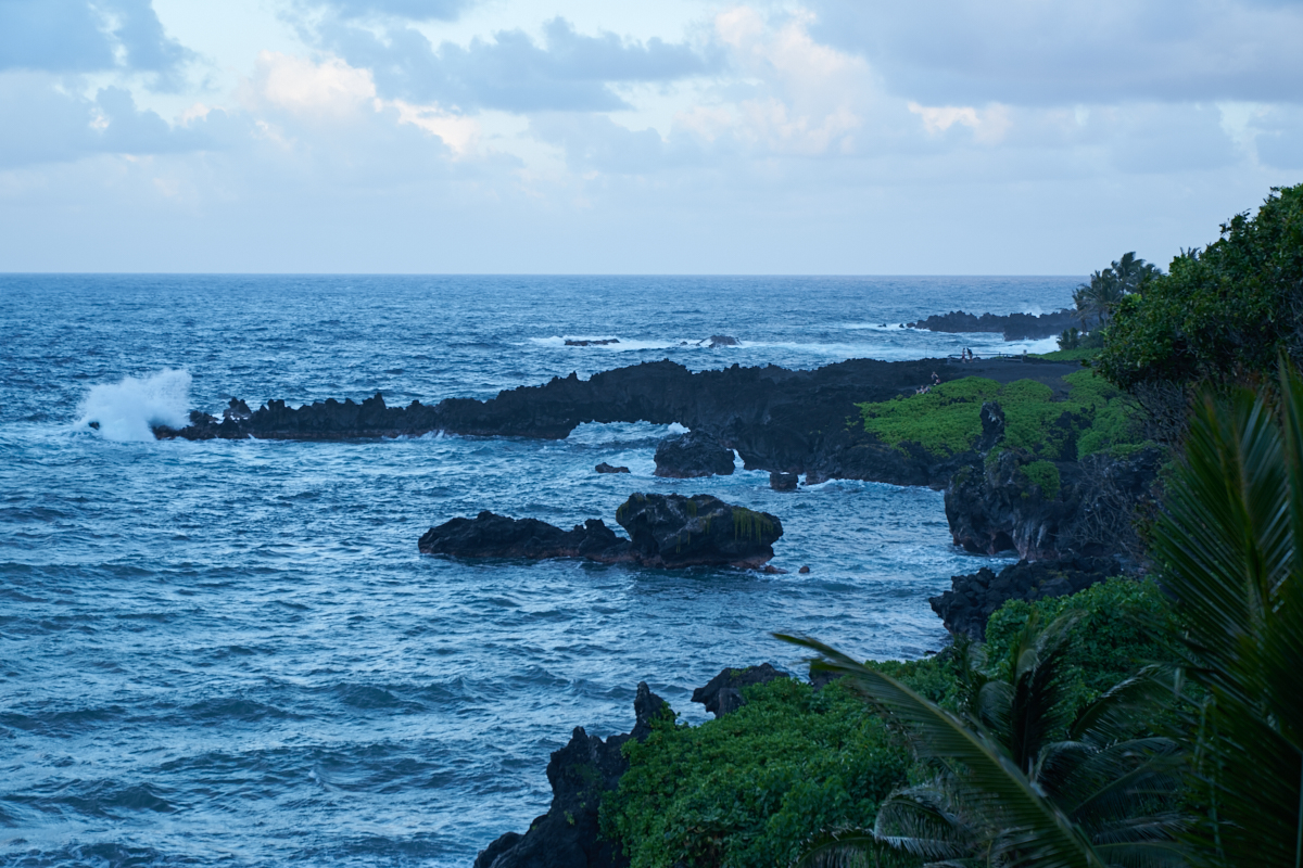
The
shoreline on the north side was very rugged with volcanic rocks
stretching into the surf making swimming here out of the
question. You would be cut to ribbons by the sharp rocks.
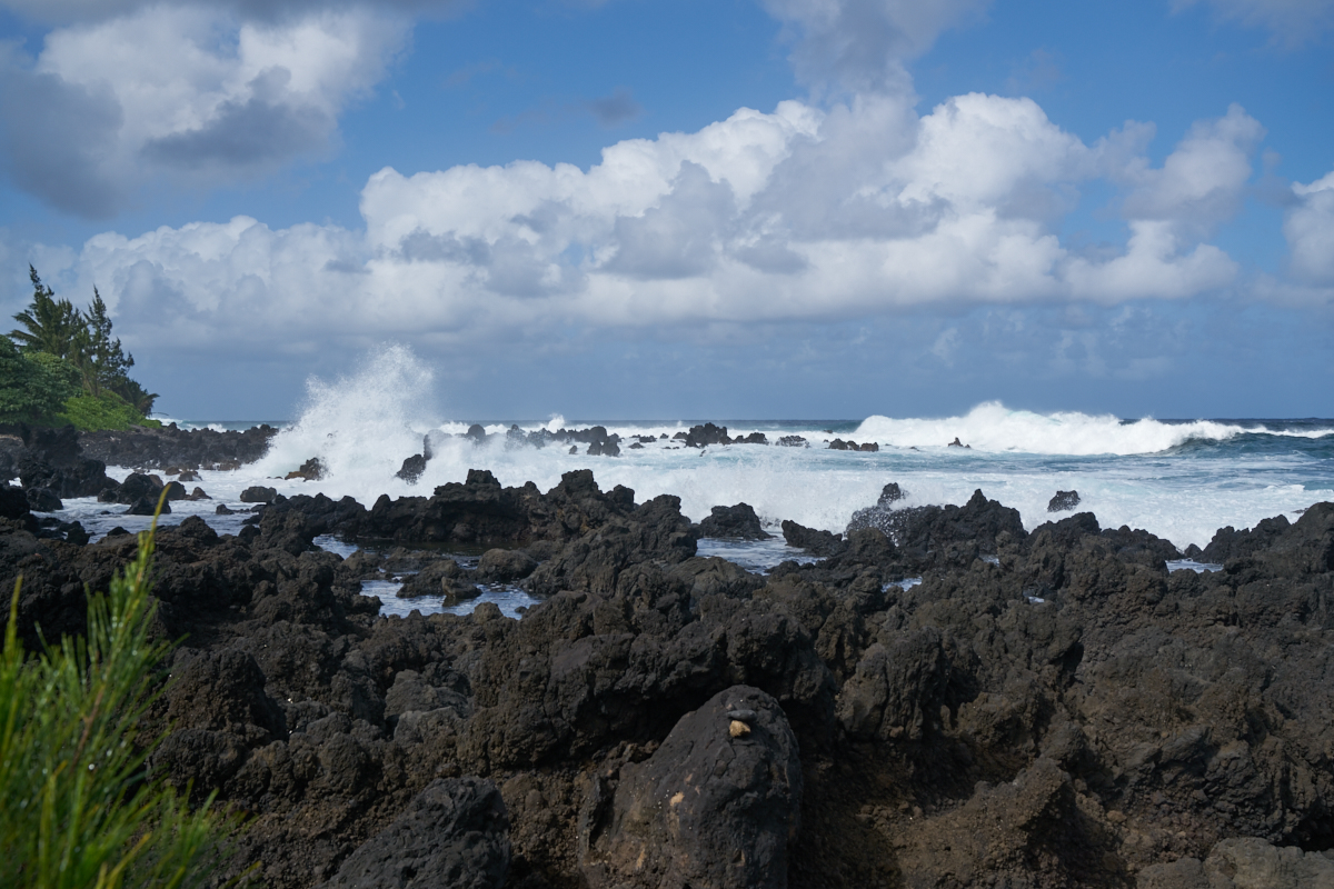
The
large waves crashed on the sharp rocks sending huge clouds of
spume into the air.

There
was a small ranch right on the edge of the surf. Note the
miniature horse
in the center of the photo above.
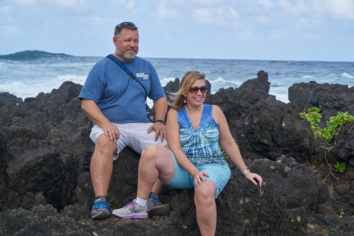
Craig
and Stephanie pause for a photo on the jagged lava rocks.
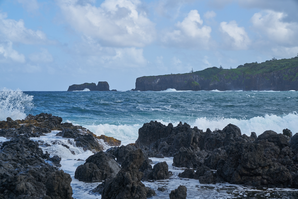
The
headlands to the east would have presented a daunting obstacle
to anyone wanting to land a boat on the shore.
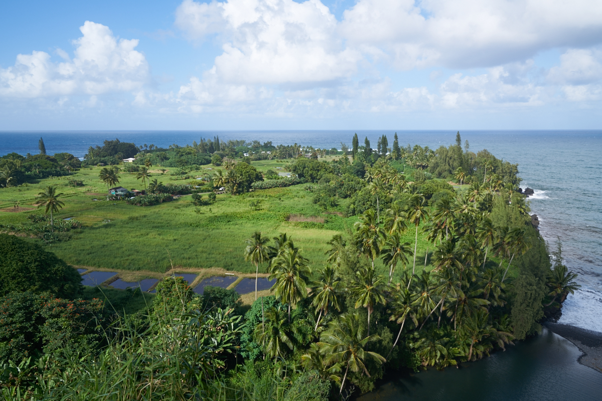
The road
resumed the climb up the cliffs giving a view of the taro ponds
in the clearings below.
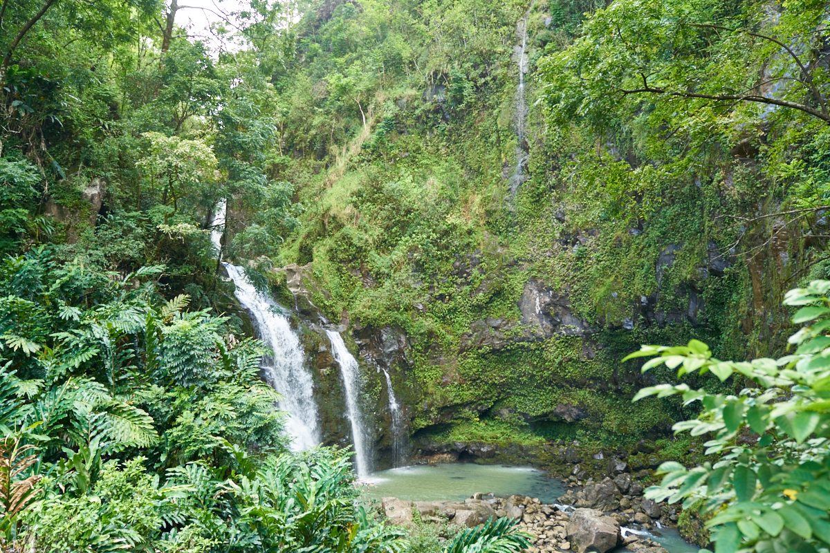
The road
passed a triple falls with a small pool at the base. Due
to the viewpoint, these falls seem much smaller than they really
are; the largest being 70 feet high.
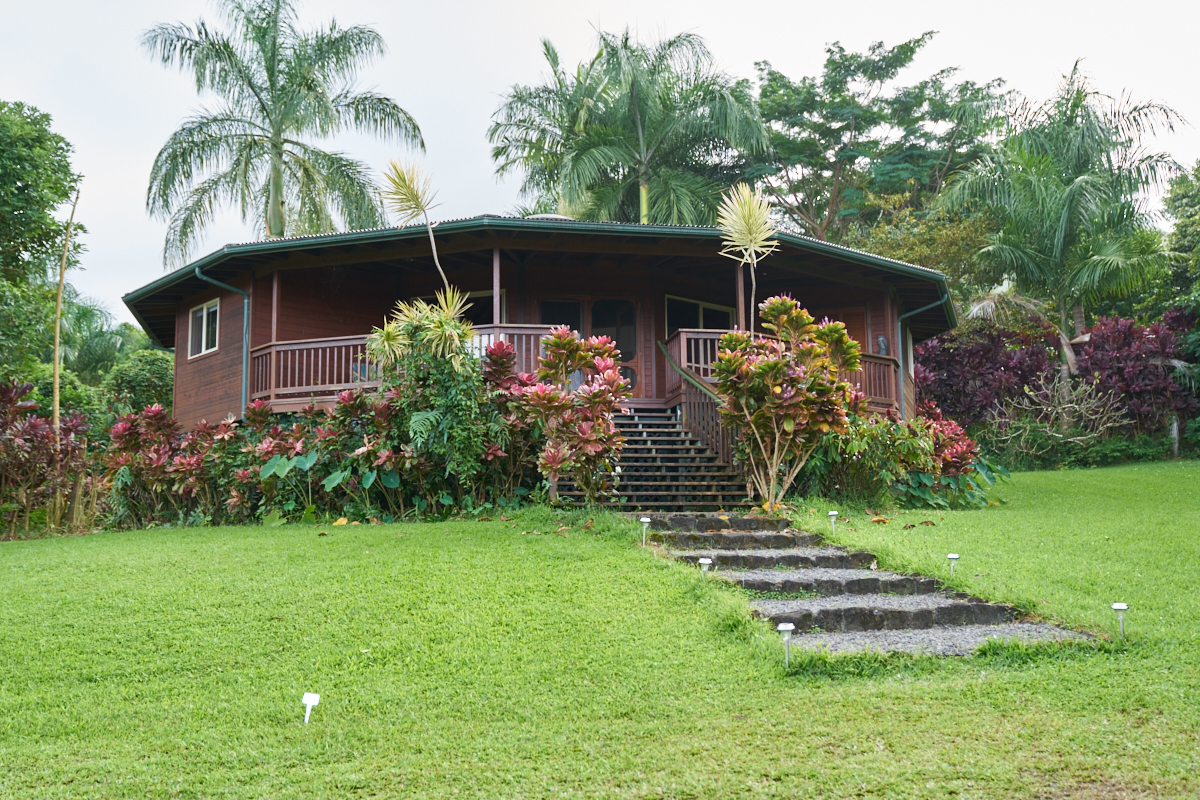
Craig
and Stephanie had a place reserved on the north side of Hana.
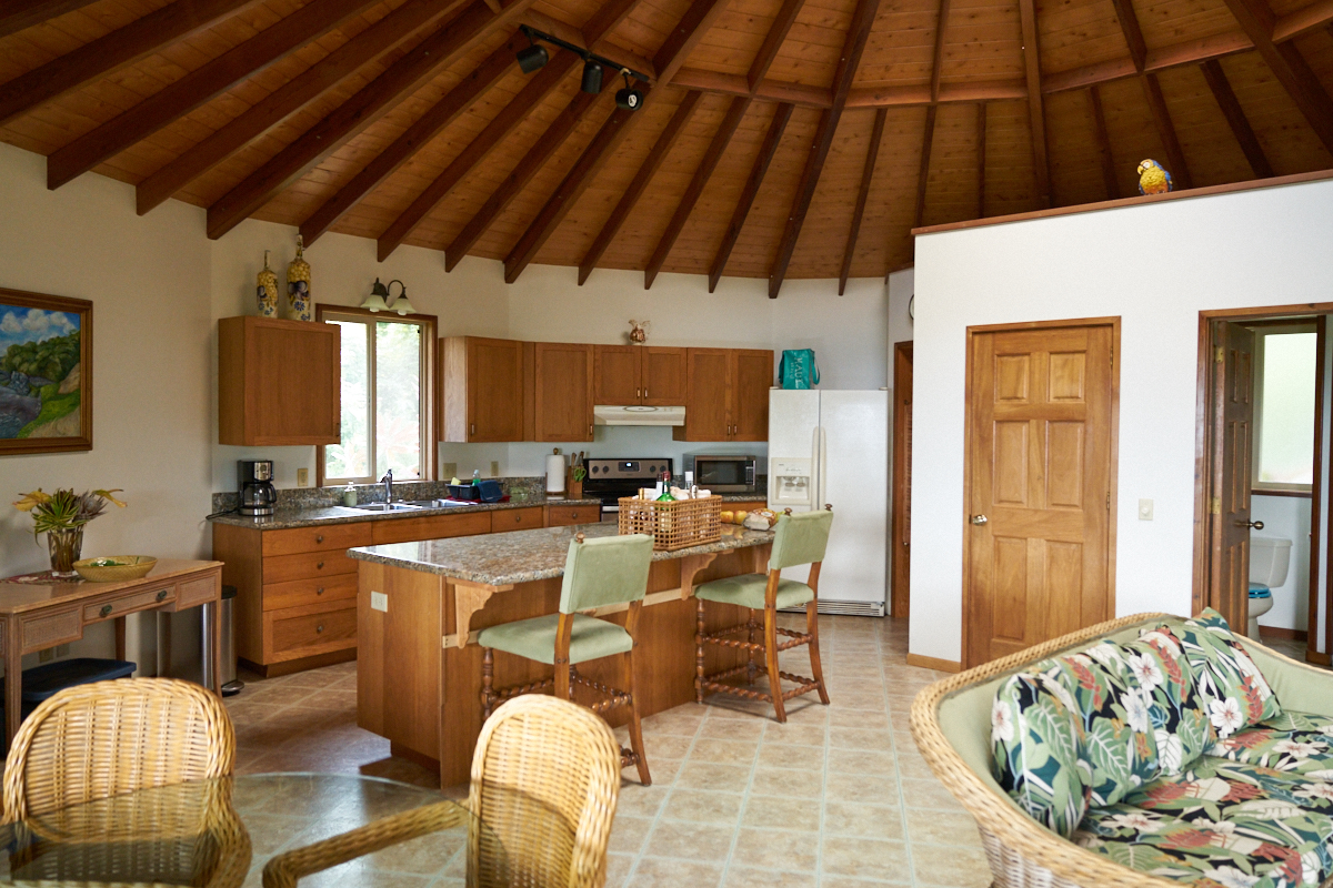
The
rental had plenty of space, although the sleeping areas were
small (cozy is the term that is currently in vogue I
think...). The place had what we needed and was close to
"central" Hana.
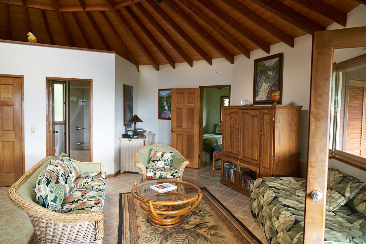
I am
sure that this rental produces a nice revenue stream for the
owner.
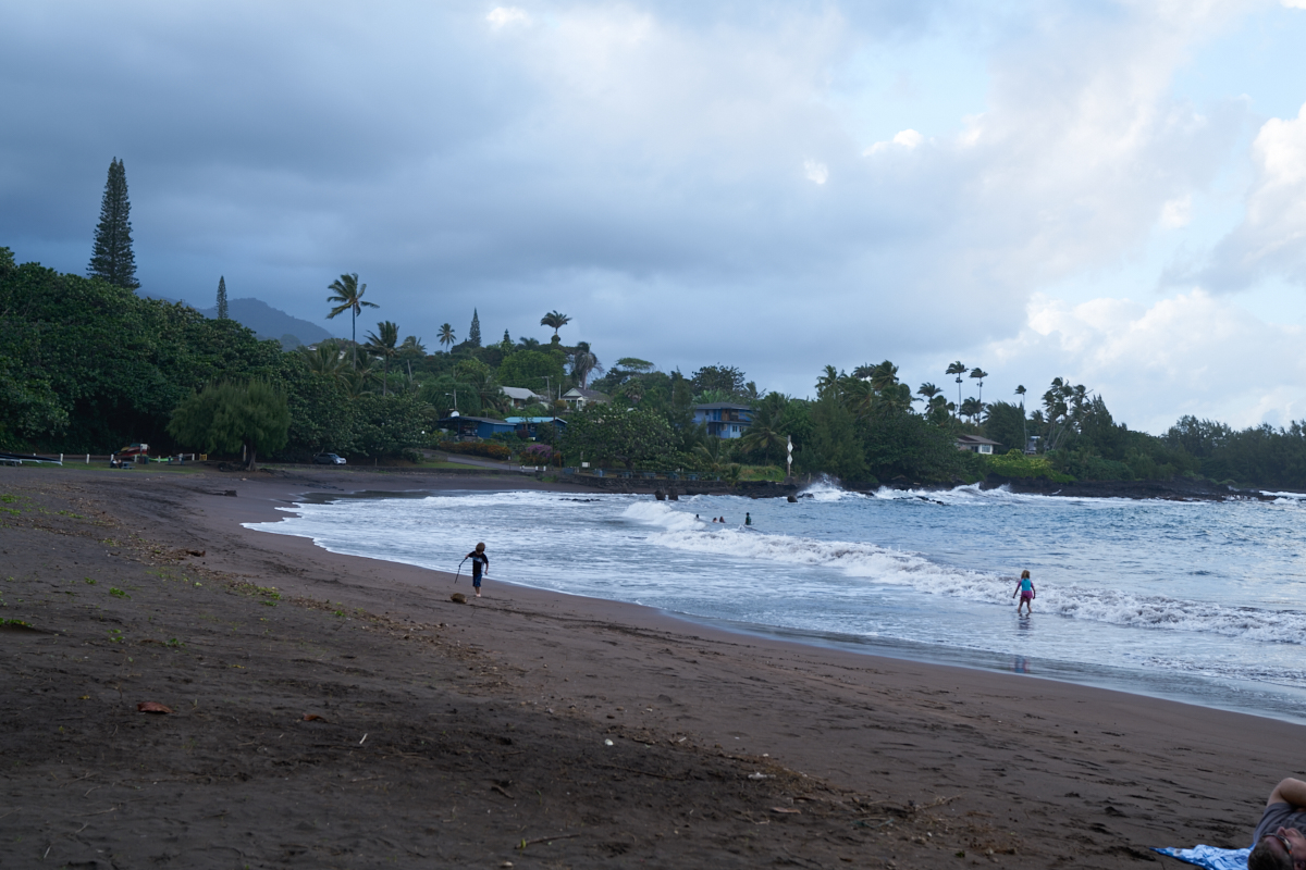
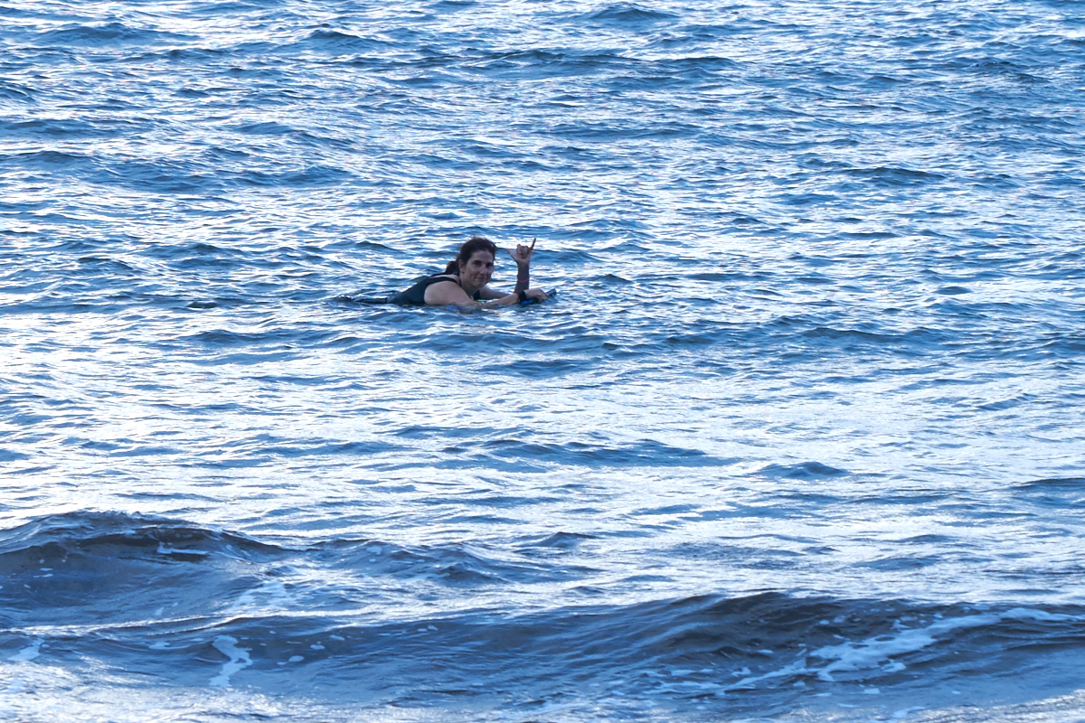
Despite
being near sunset, we headed to the beach to attempt
snorkeling. The water was rough and the waves were
churning up the water preventing good visibility.
Kathleen
tries here boogie board.
| Previous Adventure | ||
| Trip Home Page |
Photos and Text Copyright Bill Caid 2016, all rights
reserved.
For your enjoyment only, not for commercial use.