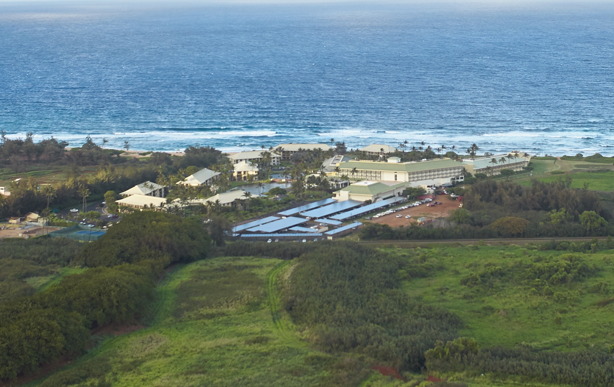
The
photos below are what we saw.
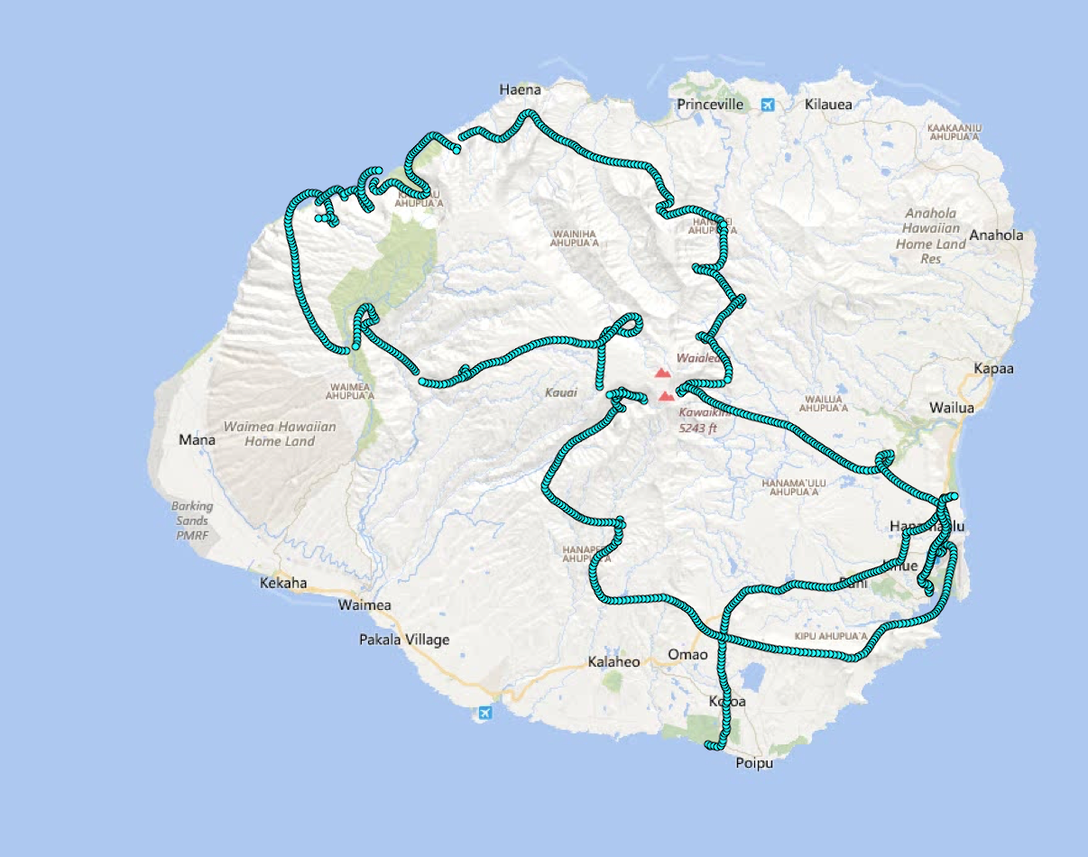
Our
flight path (for reference).
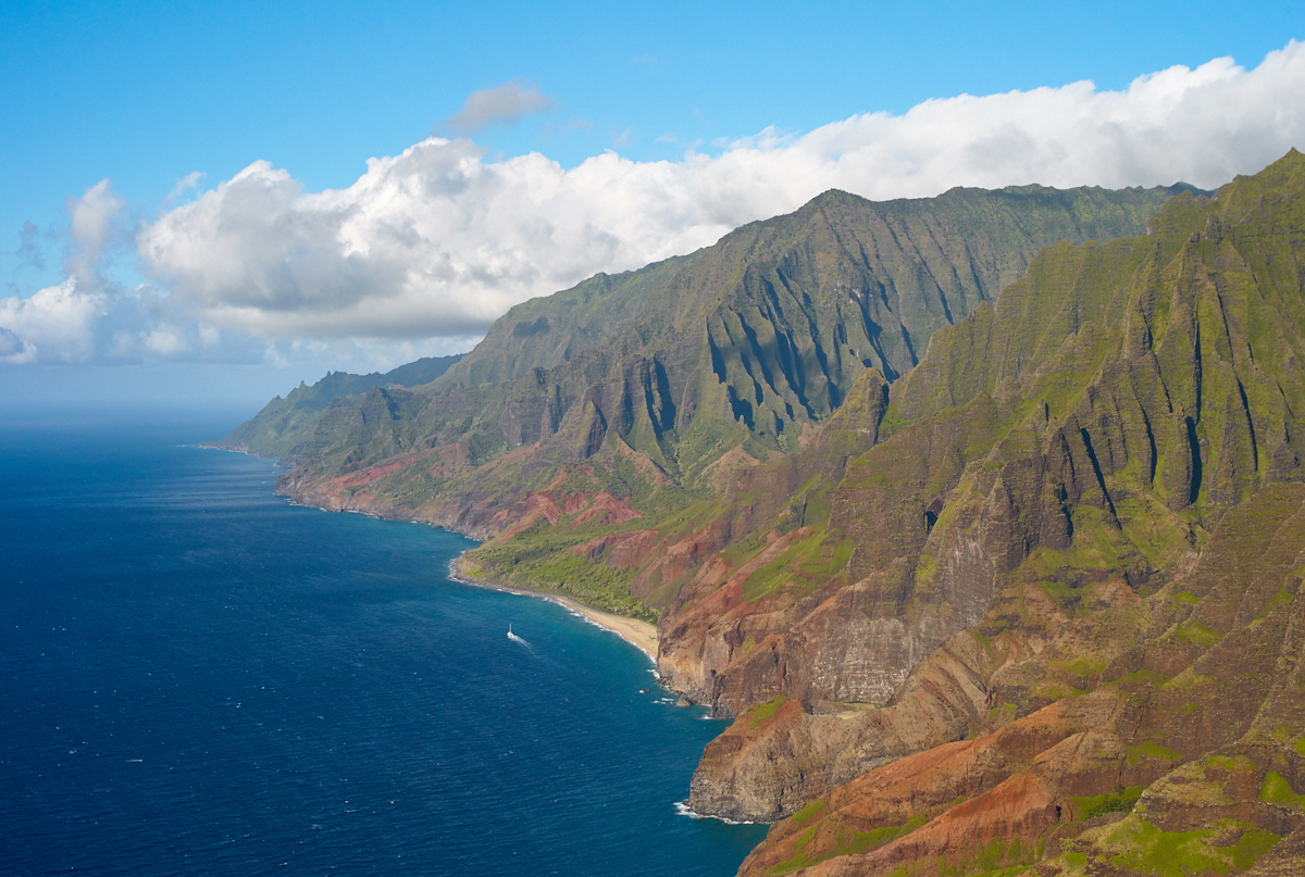
Our
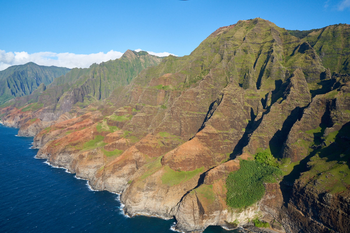
first view of the Na Pali Coast was breathtaking.
As we
floated over the ocean we could see the sand and rocks below the
crystal clear surface.
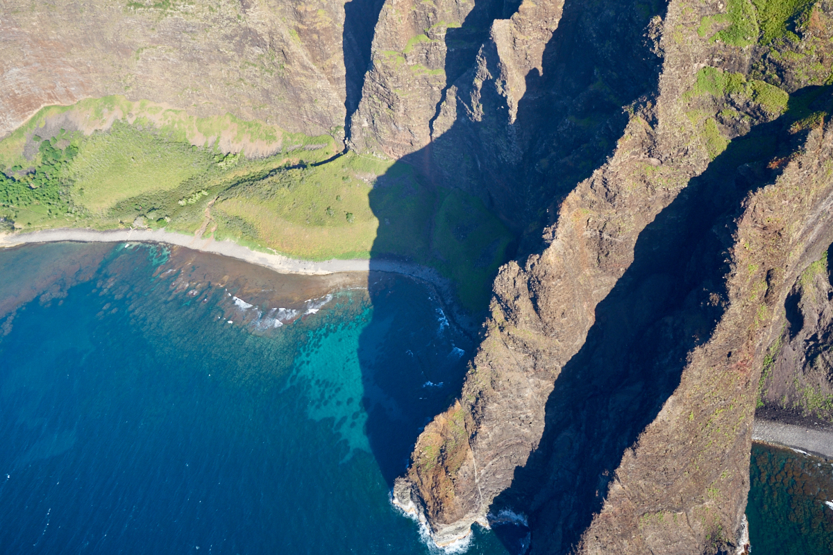
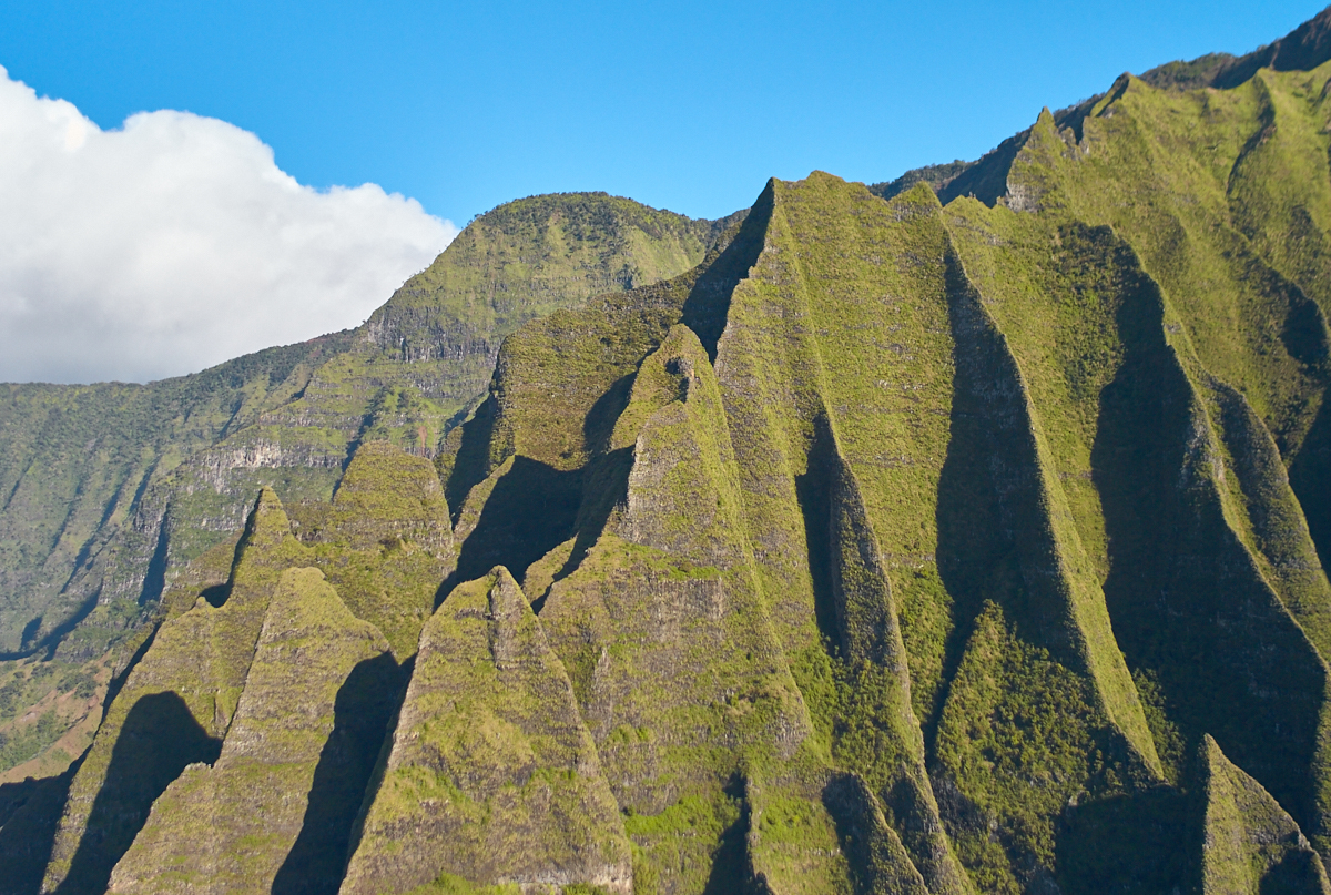
Looking
west we could see massive headlands that prevents on-foot travel
along the beach. But, look carefully in the center of the
photo above and you can see a trail through the brush.
At the
bottom center of the photo above is a huge sea cave.
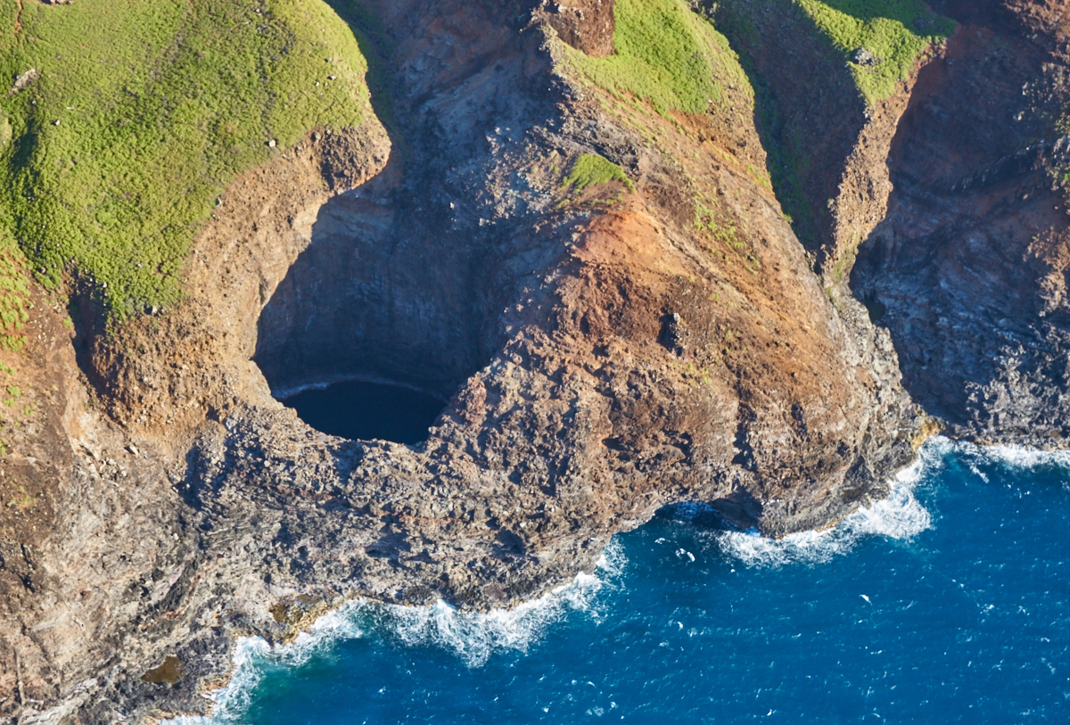
The sea
cave had a huge open portal.
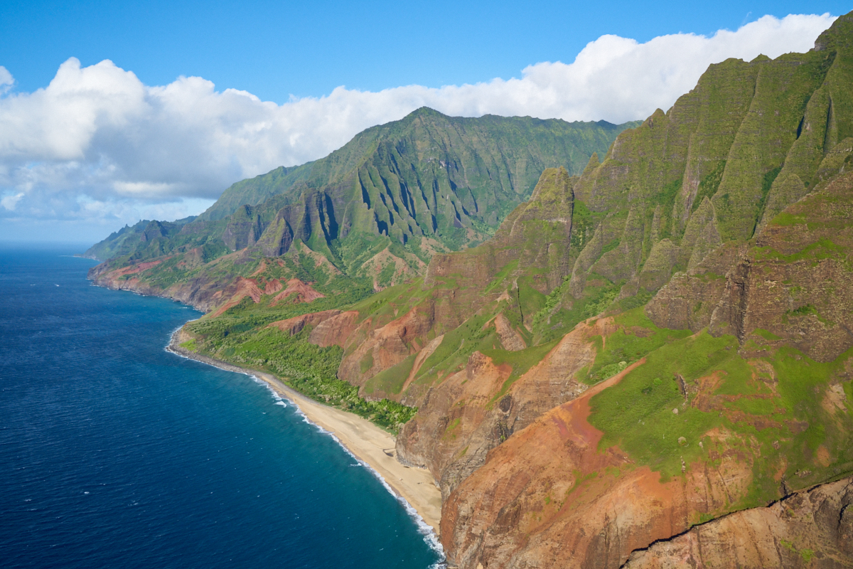
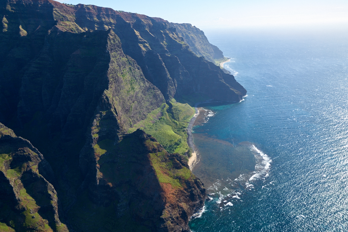
The
beach area is at the end of the so-called 11-mile Na Pali Trail.
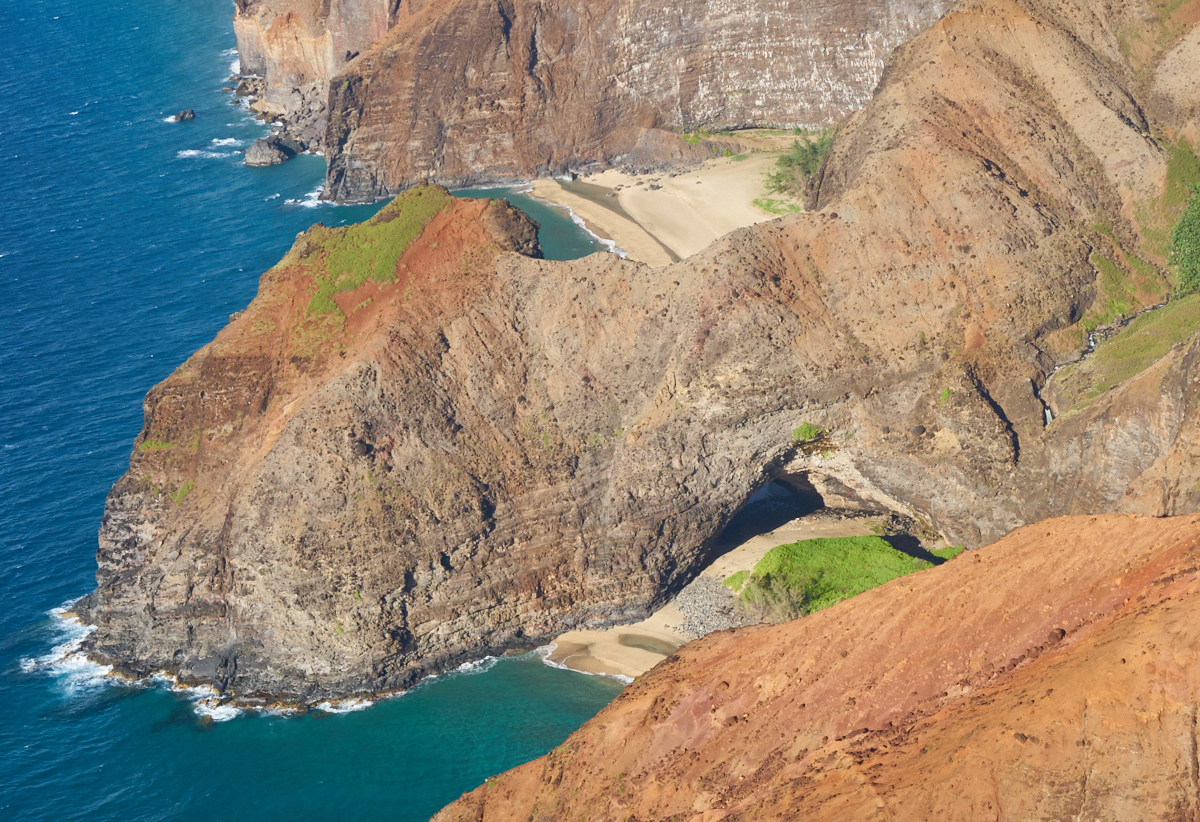
Another
arch carved by the pounding surf.
The cliffs
are sheer and there is no path up.
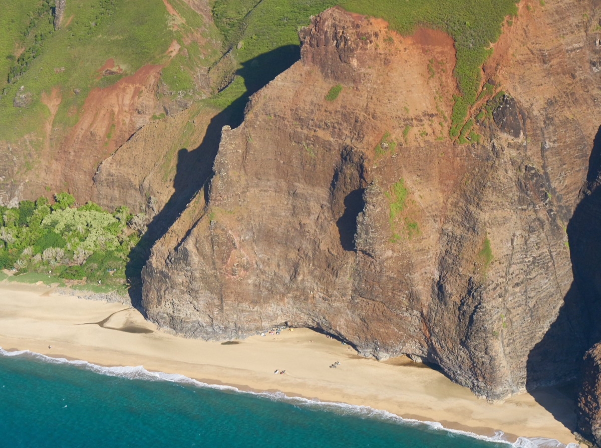
Some
campers set up on the beach. Great except for high tide;
hope they checked the tide chart!
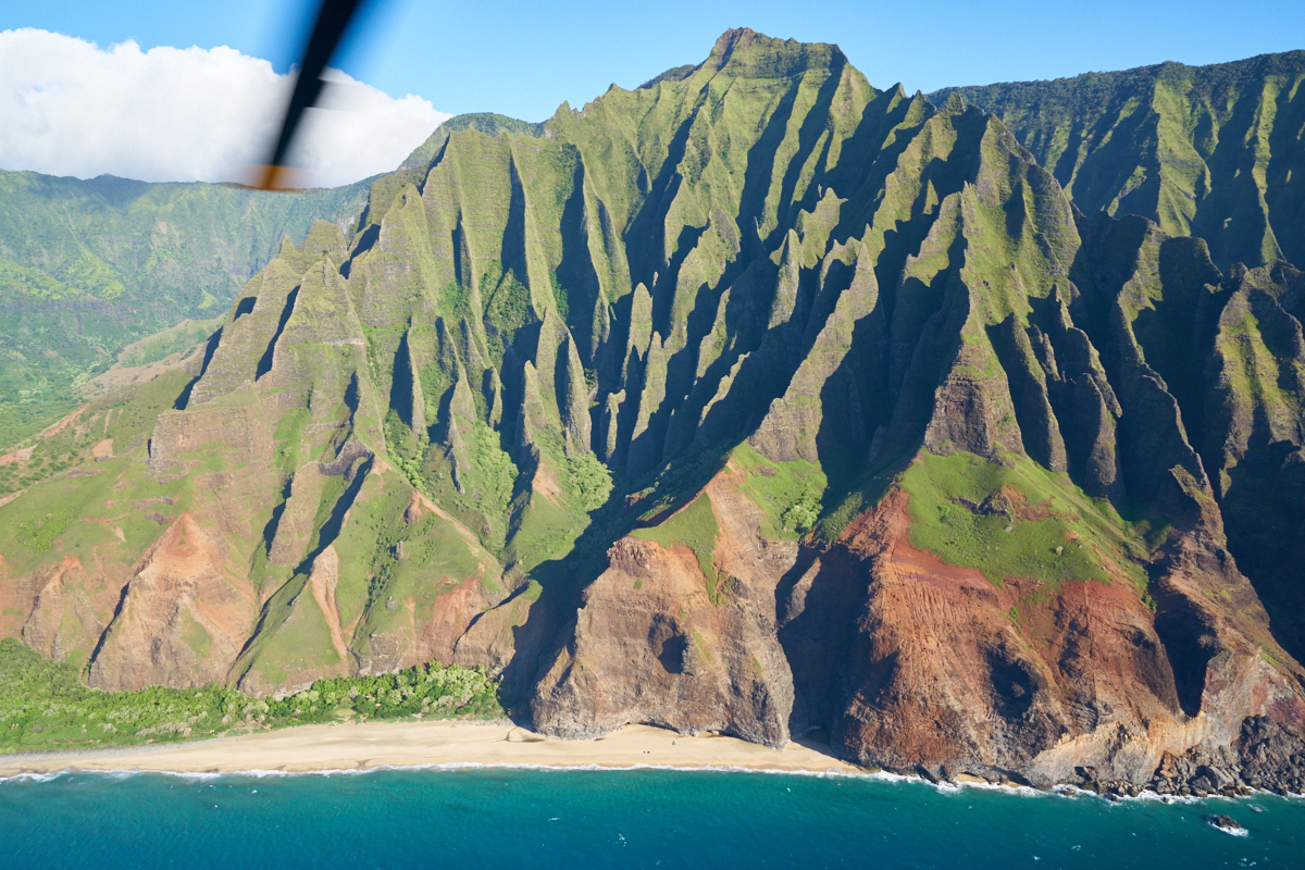
The
pilot swung away from the coast a bit to provide a better view
of the rugged terrain. The helicopter blade is visible in
the photo above.
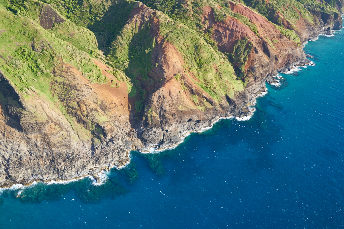
The
coastal water is azure blue.
The
chopper headed away from the coast area and back toward the
mountains.
As we
headed toward higher altitude, the clouds came back making light
scare and photos hard.
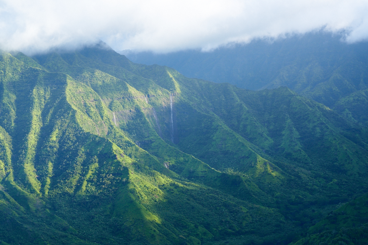
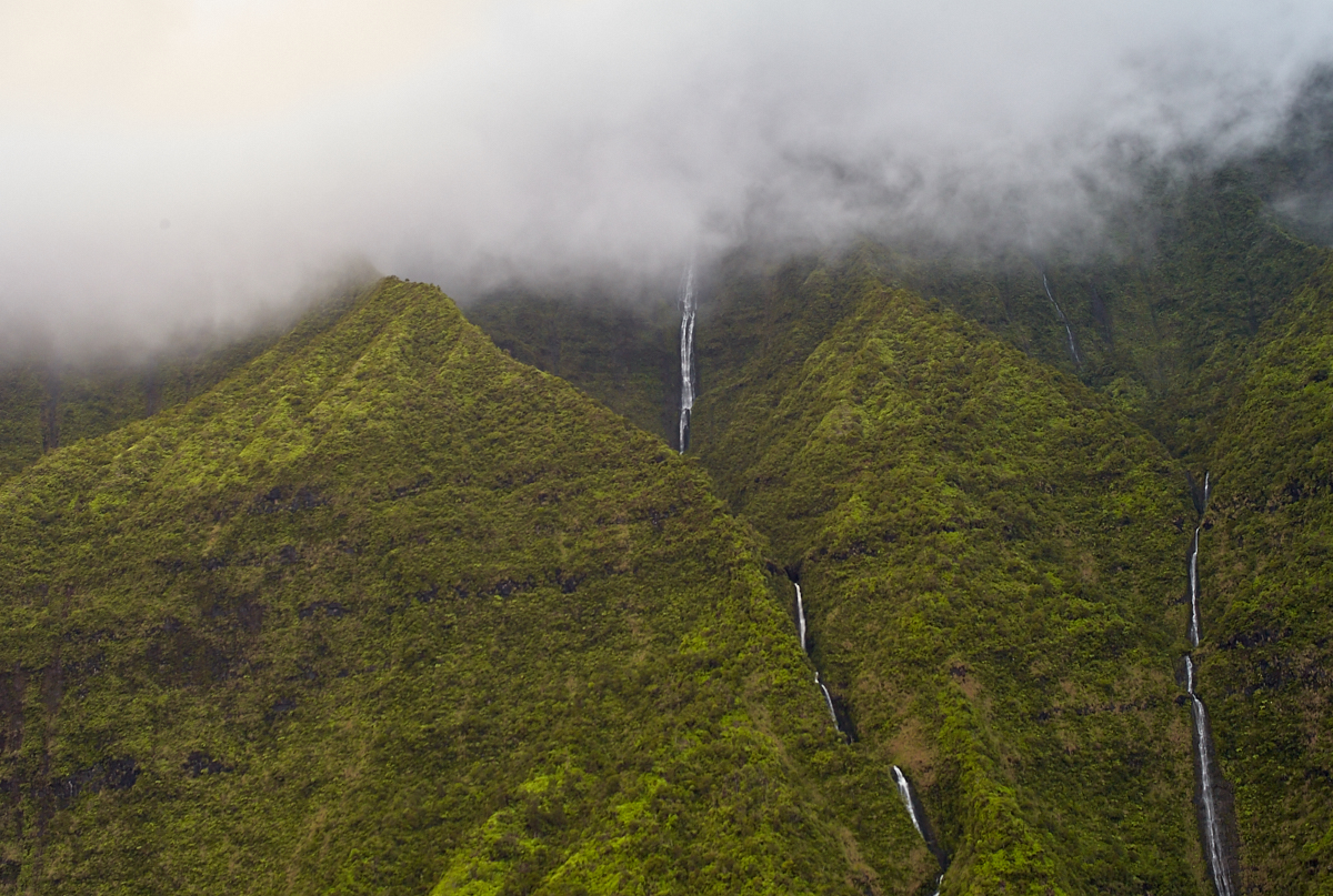
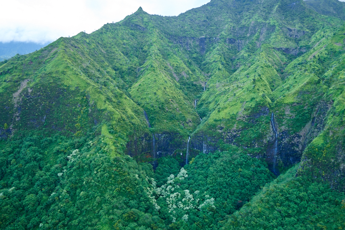
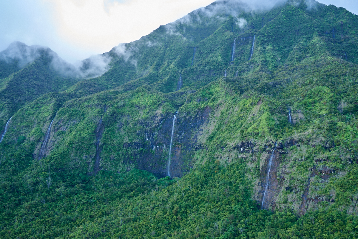
The
northern escarpments had huge cliff faces with waterfalls as
well.
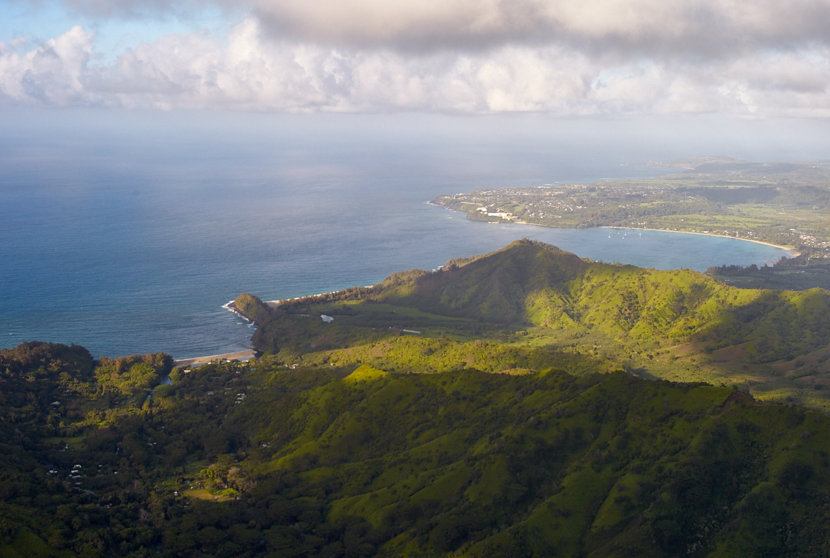
As we
headed back over the mountains Kathleen got the shot of Hanalei
Bay above with my Leica M8 with 35mm Voightlander lens. A
very respectable photo given a fully manual camera and "only"
12mp. Keep in mind my first digital camera had 1mp and my
current has 42mp!
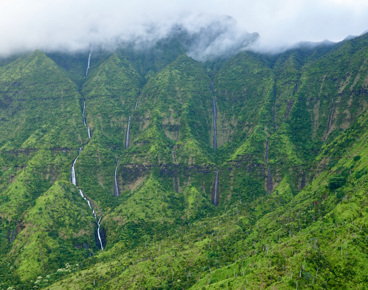
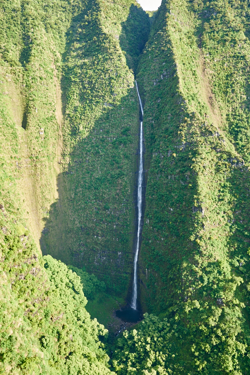
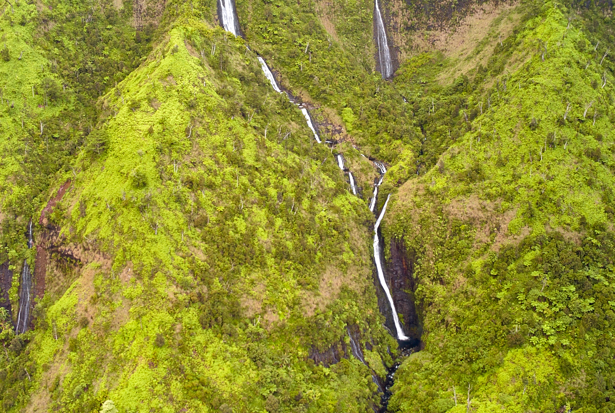
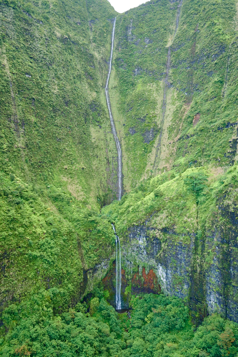
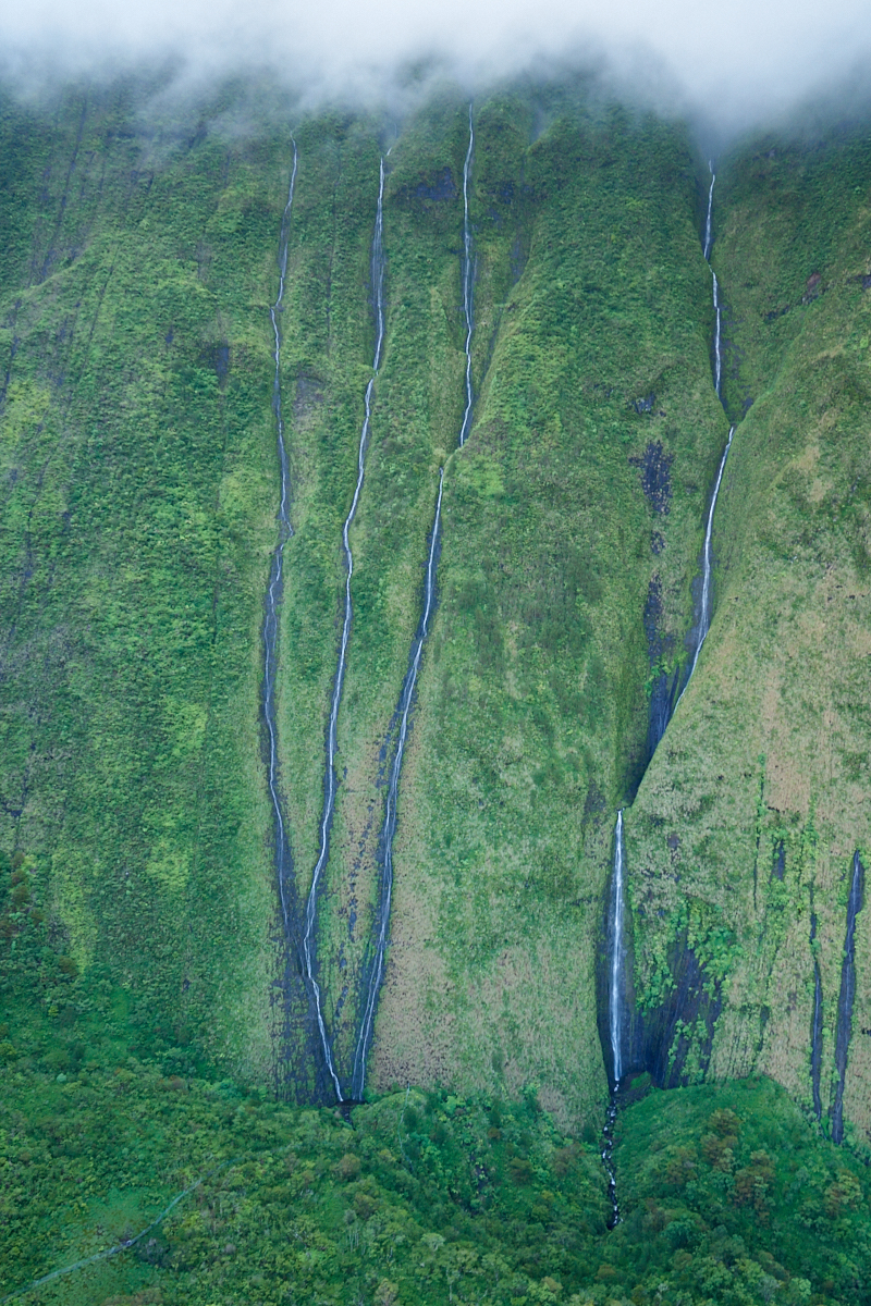
This
cliff face was covered with waterfalls.
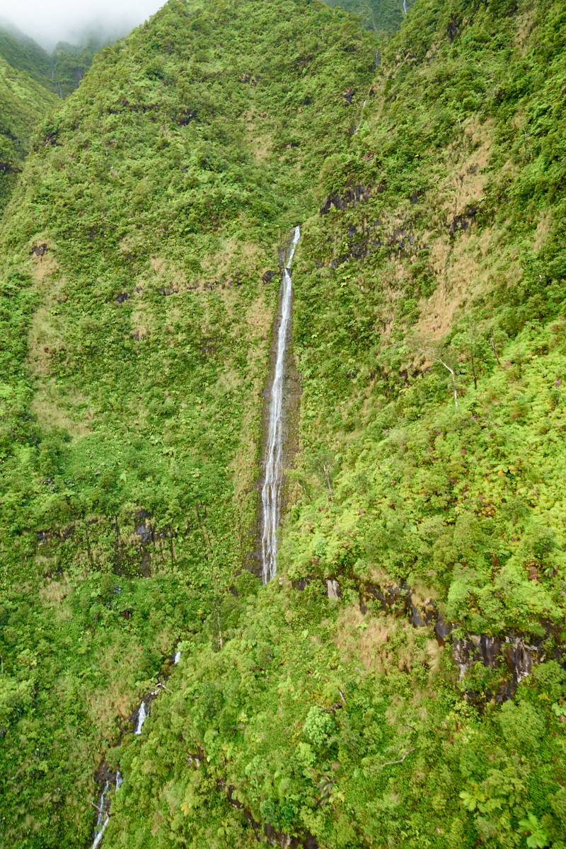
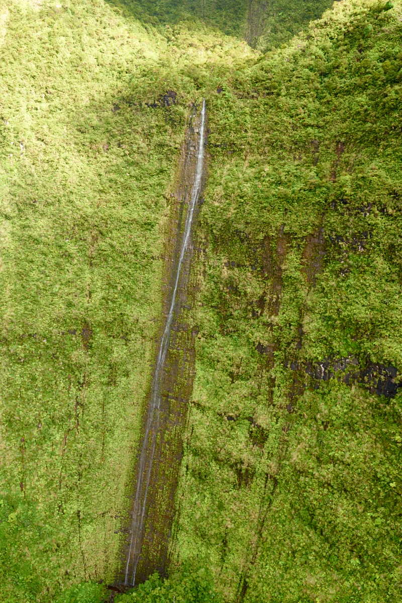
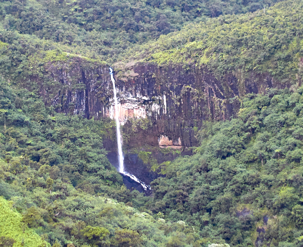
This
falls was taller than the field of view of the lens at 24mm.
Note the
alcove at the bottom of the falls.
A nice
large pool that is totally inaccessible.
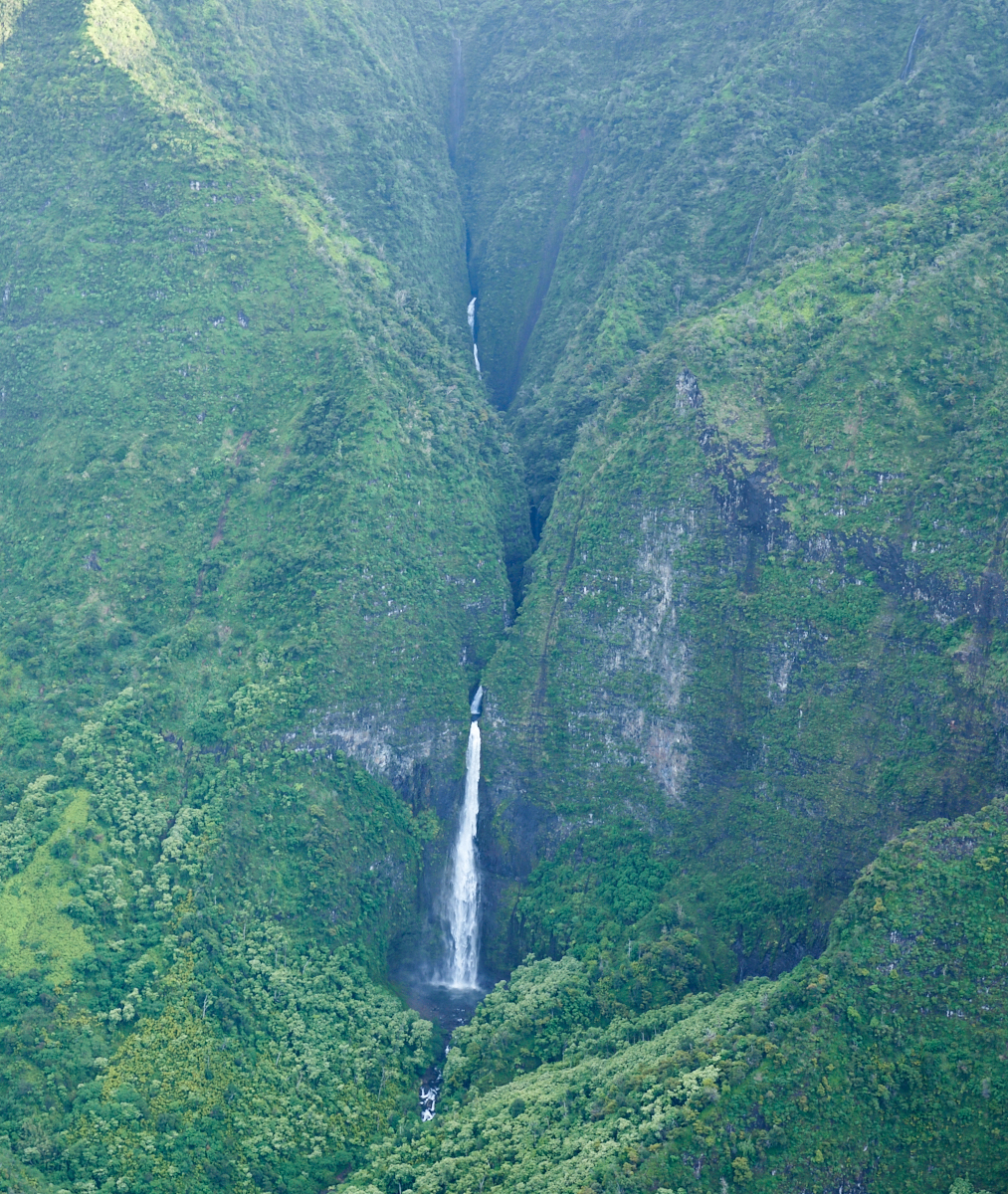
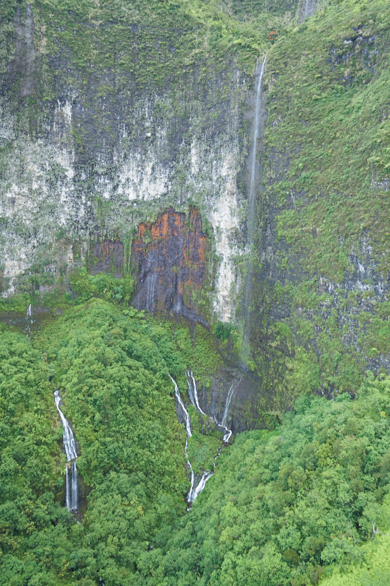
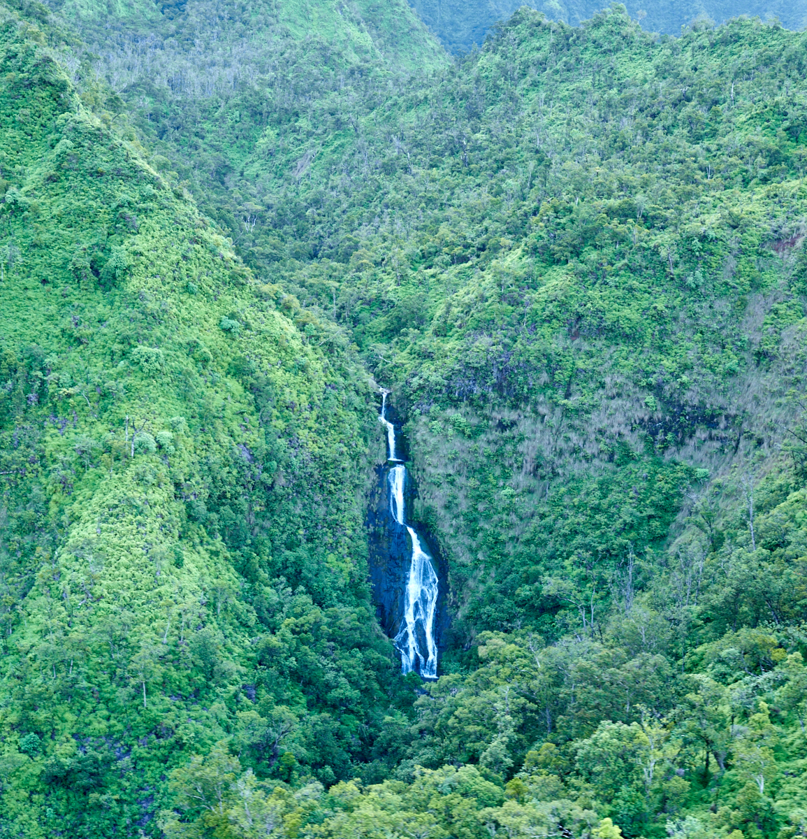
It
rained overnight providing plenty of water for the falls,
although this was just a small trickle.
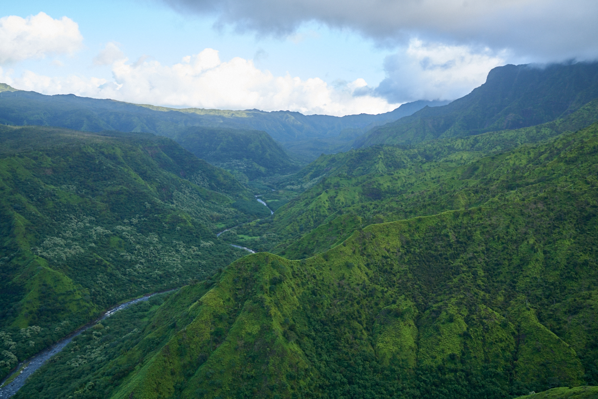
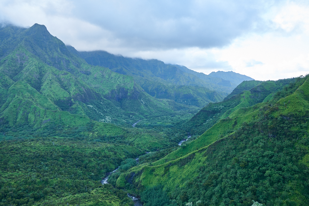
This
valley, like every valley, had a good-sized river.
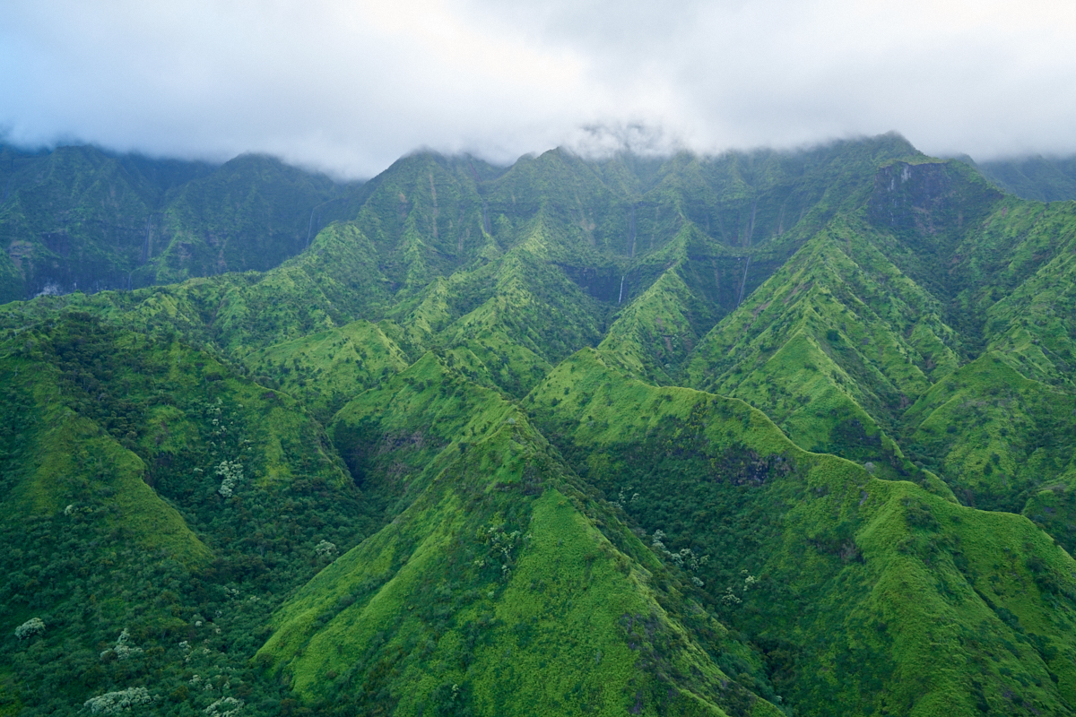
As we
got higher into the mountains the clouds were covering the tops
of the peaks.
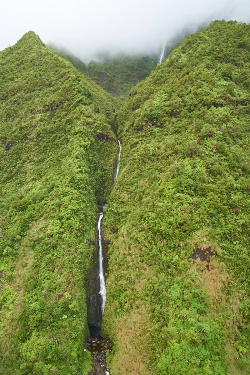
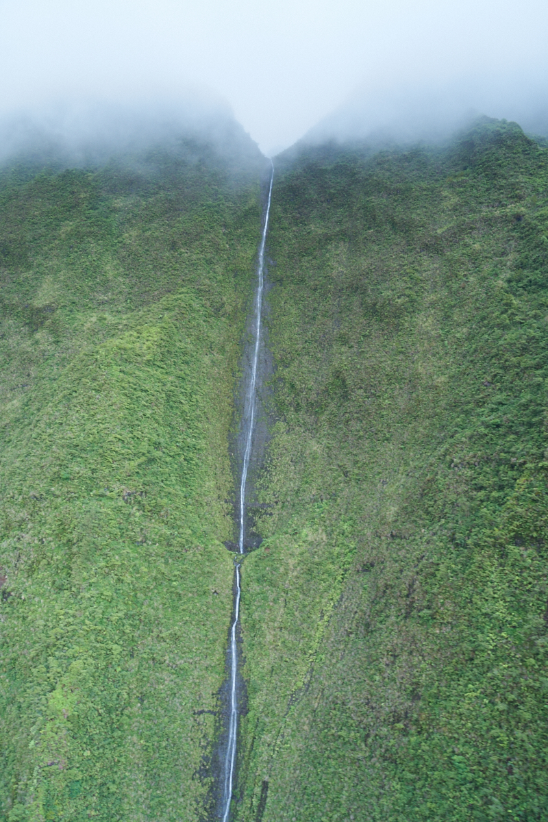
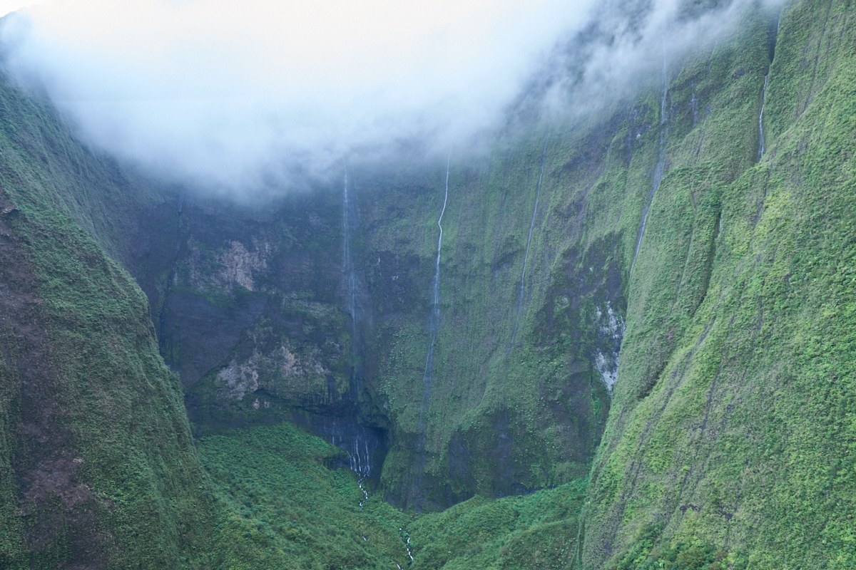
Another
narrow alcove carved by the running water.
The flow
of water created a large amphitheater in the cliffs.
The
clouds were closing in fast.
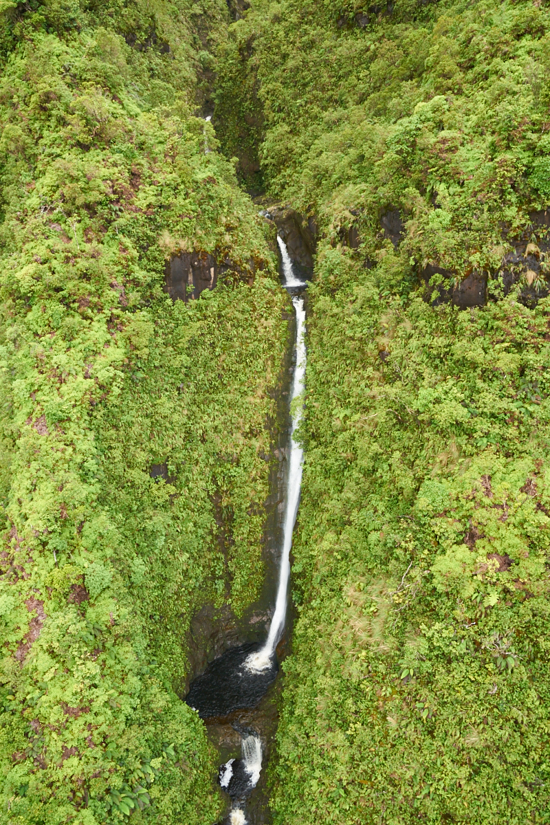
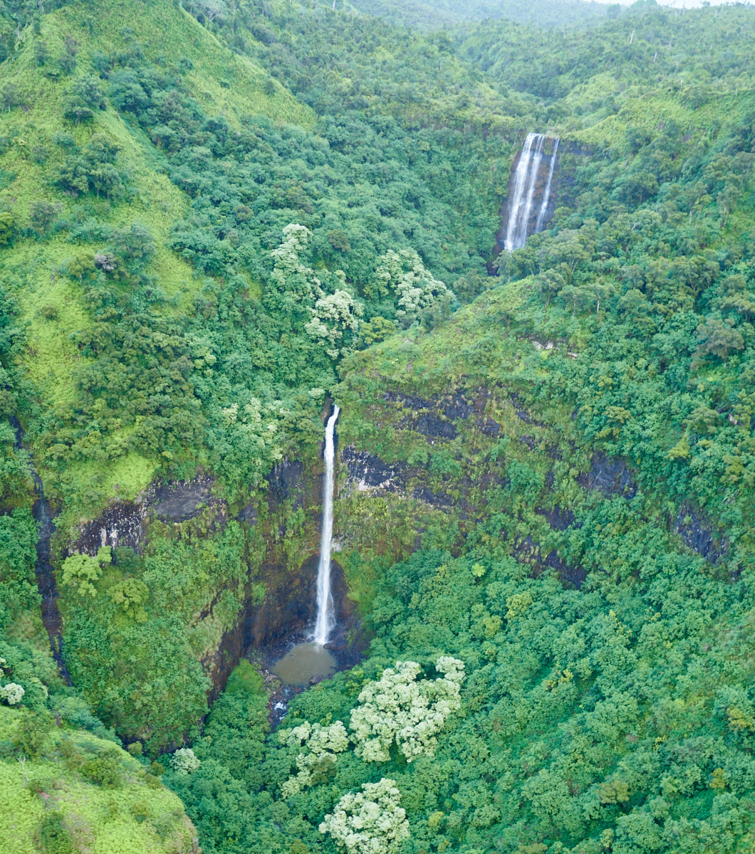
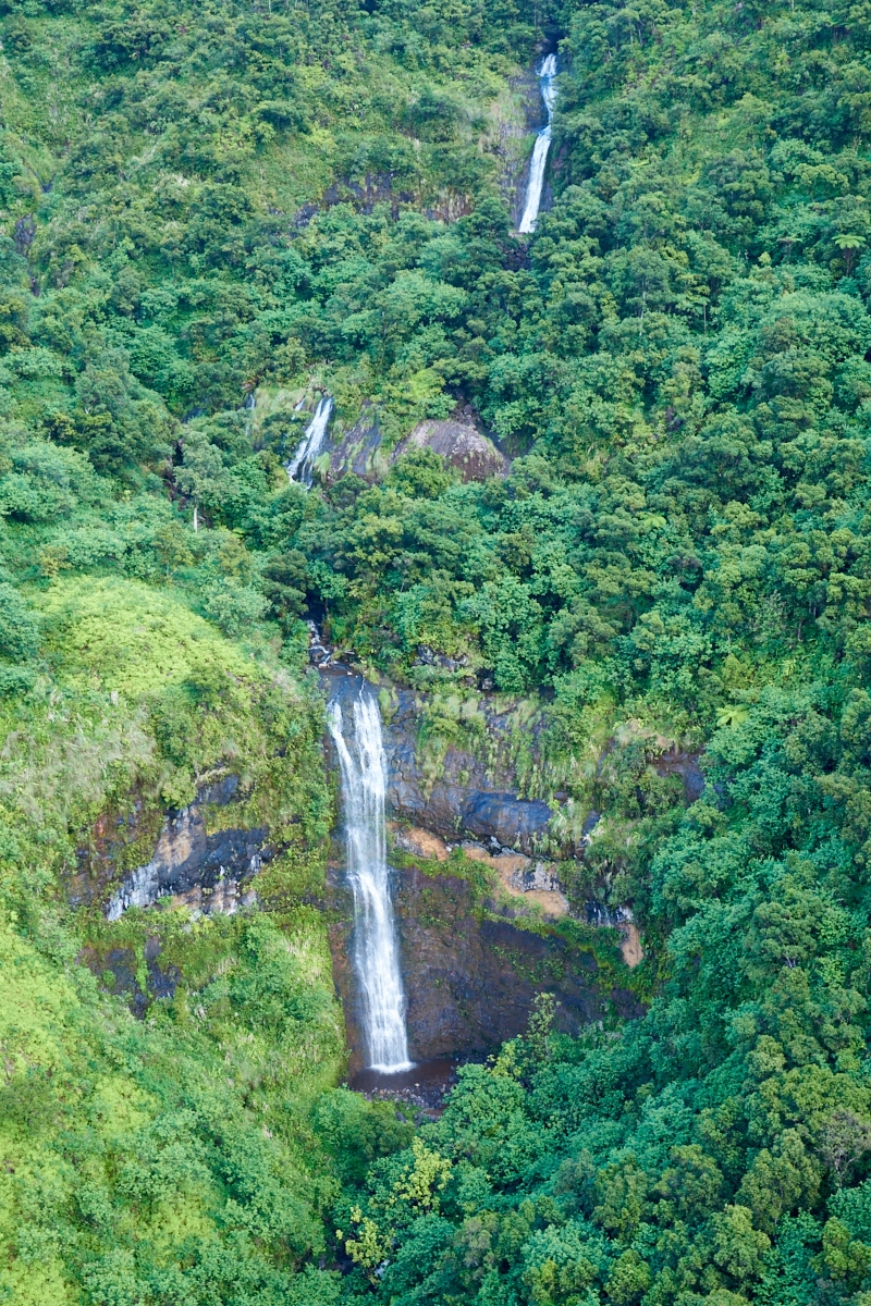
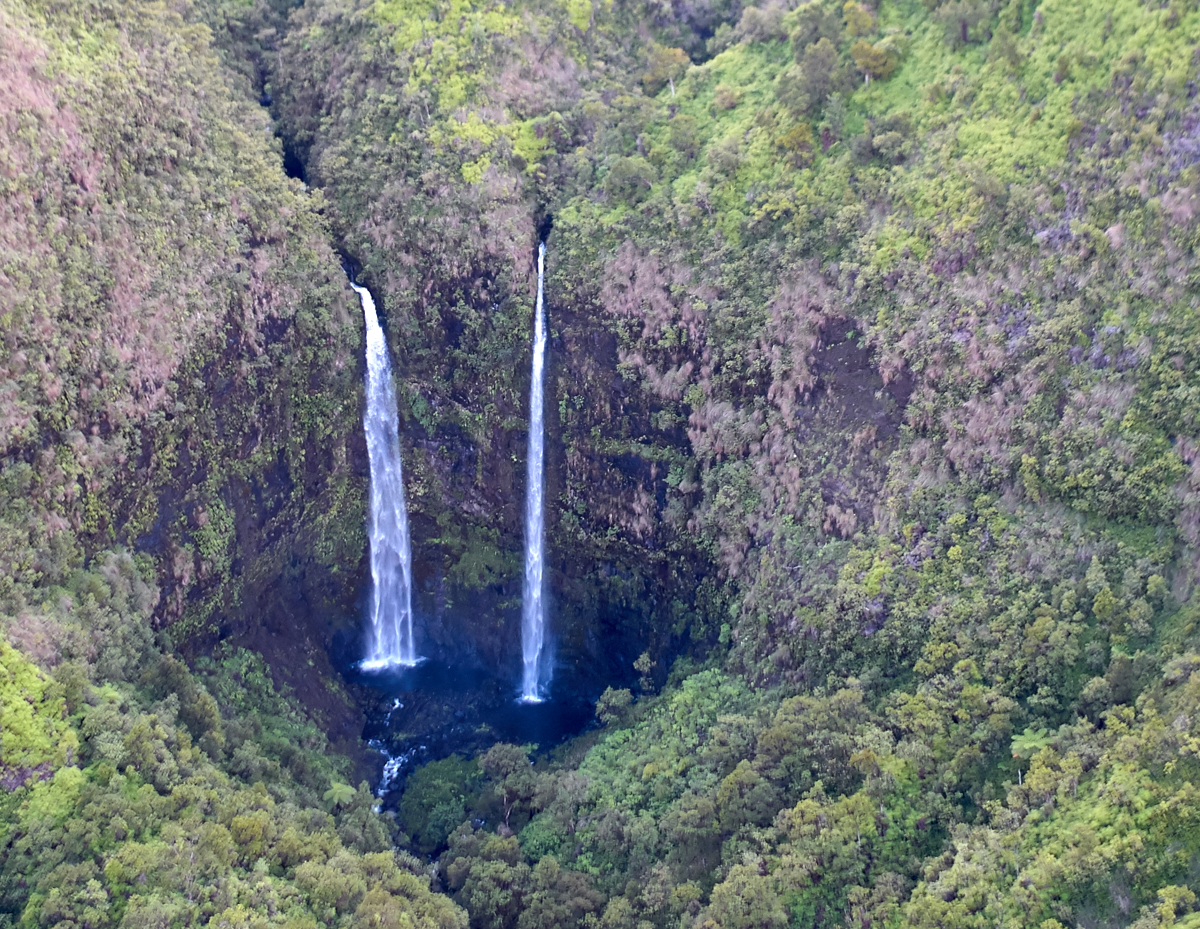
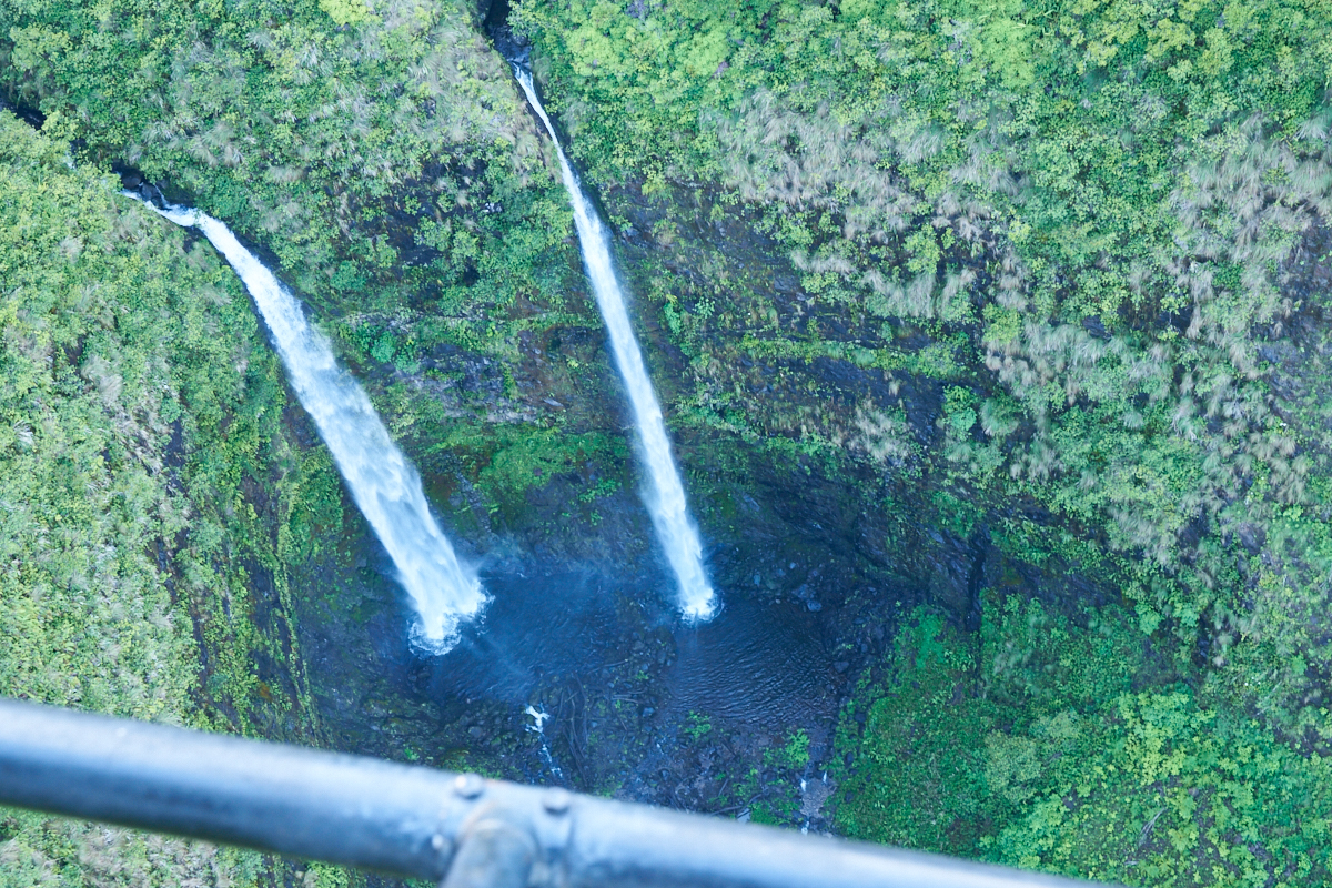
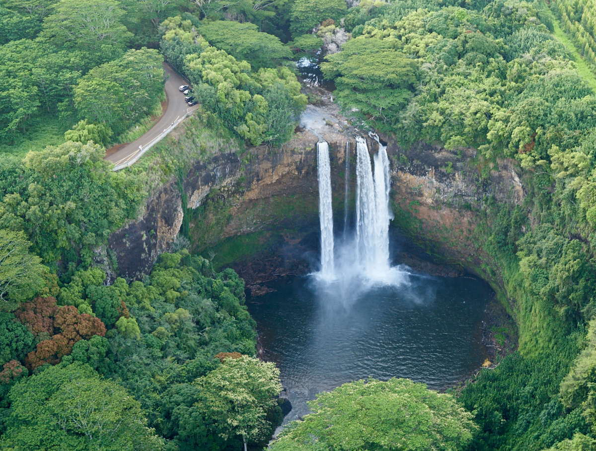
A
multi-stage drop for this creek.
The
lower falls are based on ground water with the upper falls being
based on surface water.
Only the
really steep areas are free from heavy vegetation.
| Previous Adventure | ||
| Trip Home Page |
Photos and Text Copyright Bill Caid 2016, all rights
reserved.
For your enjoyment only, not for commercial use.