The photos below are what we saw.
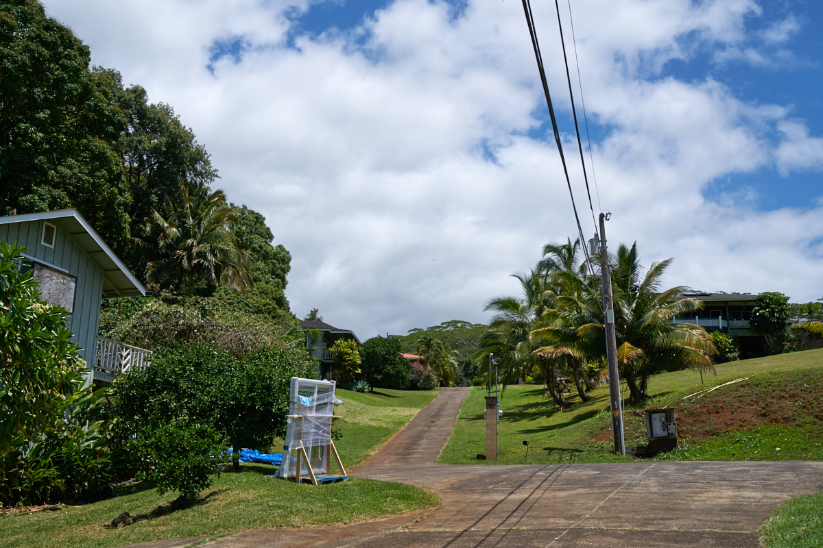
Sandee
rents a small place in a rather rural area called Lawai which is
in the southern part of the island.
We slept
well and got up moderately early the next day. I was more
jet lagged than I expected but it was not an impediment.
After eating, we headed out to see Wiamea Canyon.
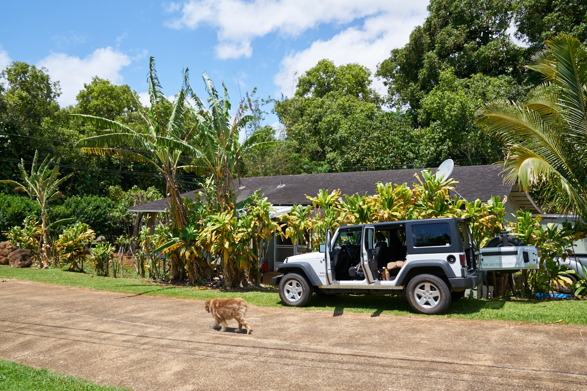
We
rented a 4-door Jeep and it was more than acceptable in terms of
comfort and handling. The barn door on the rear provided
easy access to our cargo.

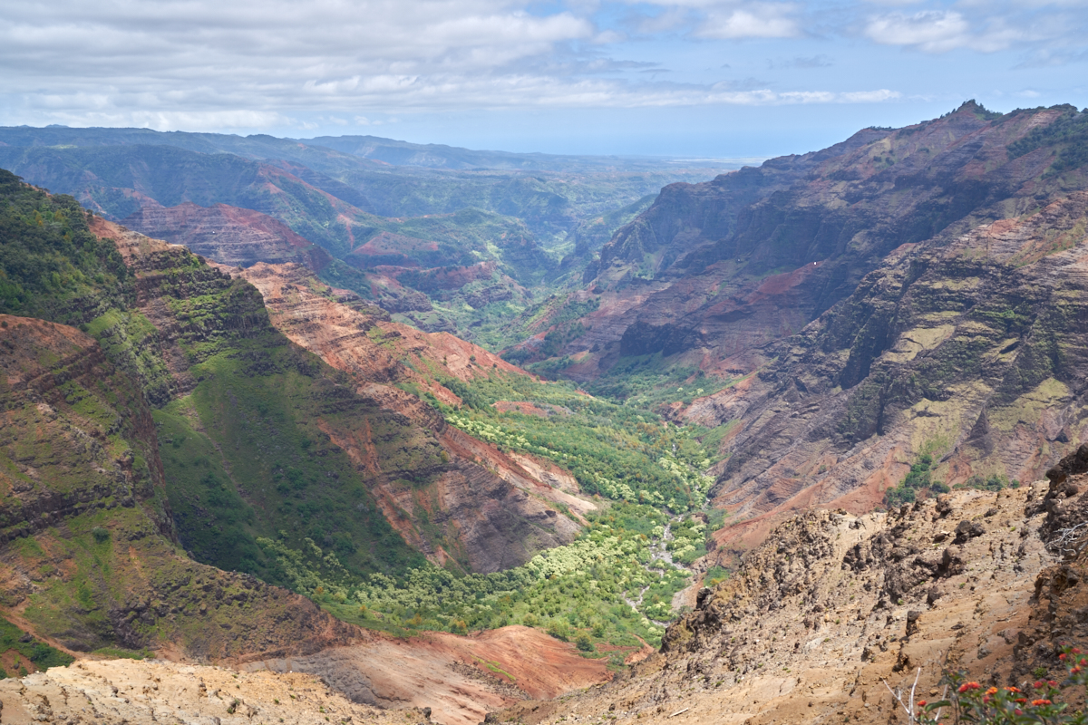
Not far
from Sandee's place, the road had an overlook that provided a
nice view of a canyon on the southern flanks of the island's
main mountain. The valley floor was lush with vegetation.
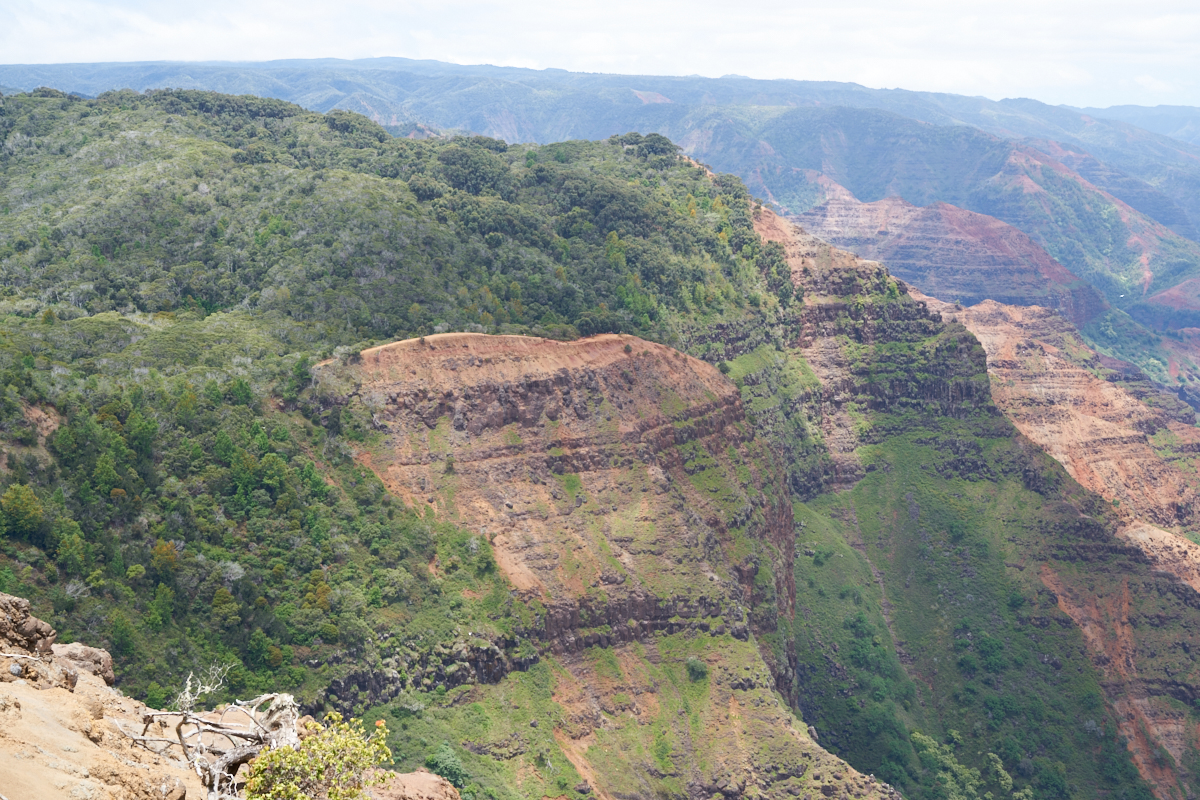
We
continued around the perimeter of the island until we got to
Wiamea and then turned inland and proceeded up the
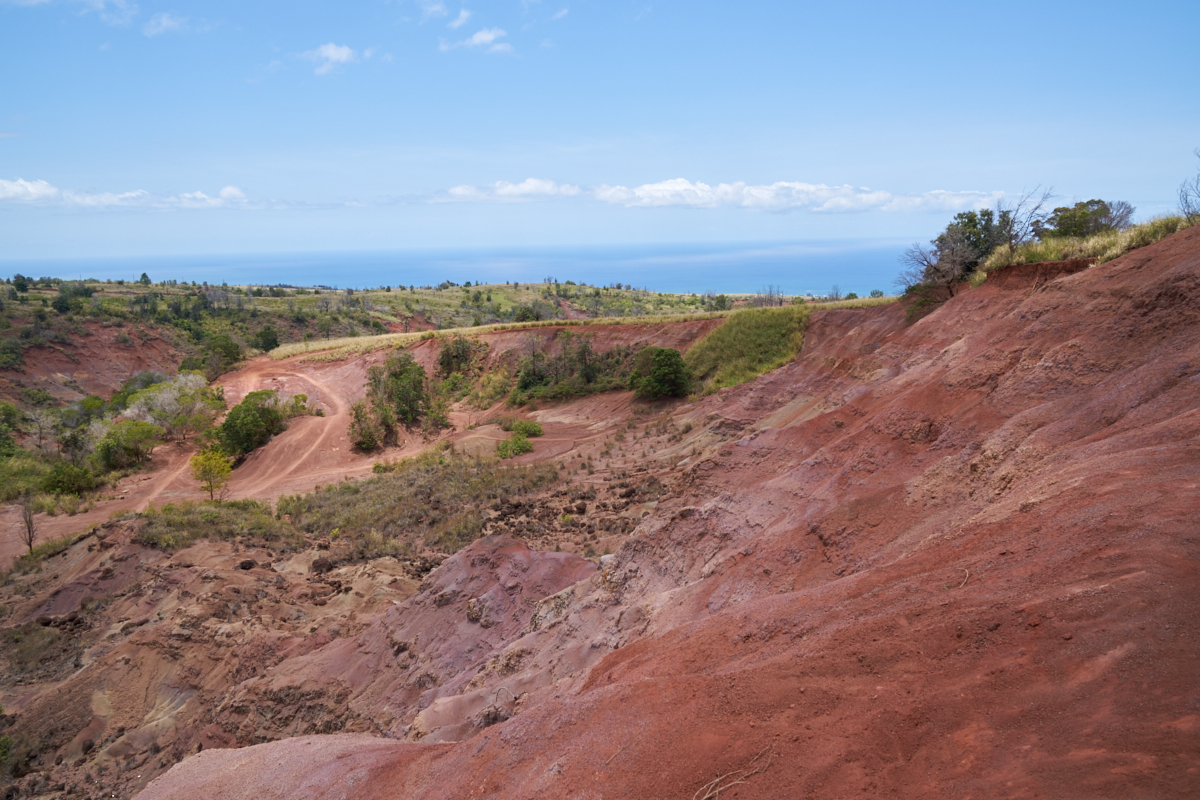
mountain. At a pull-out, we got a nice view of a small
canyon where the erosion has exposed the multicolored volcanic
tufa underneath.
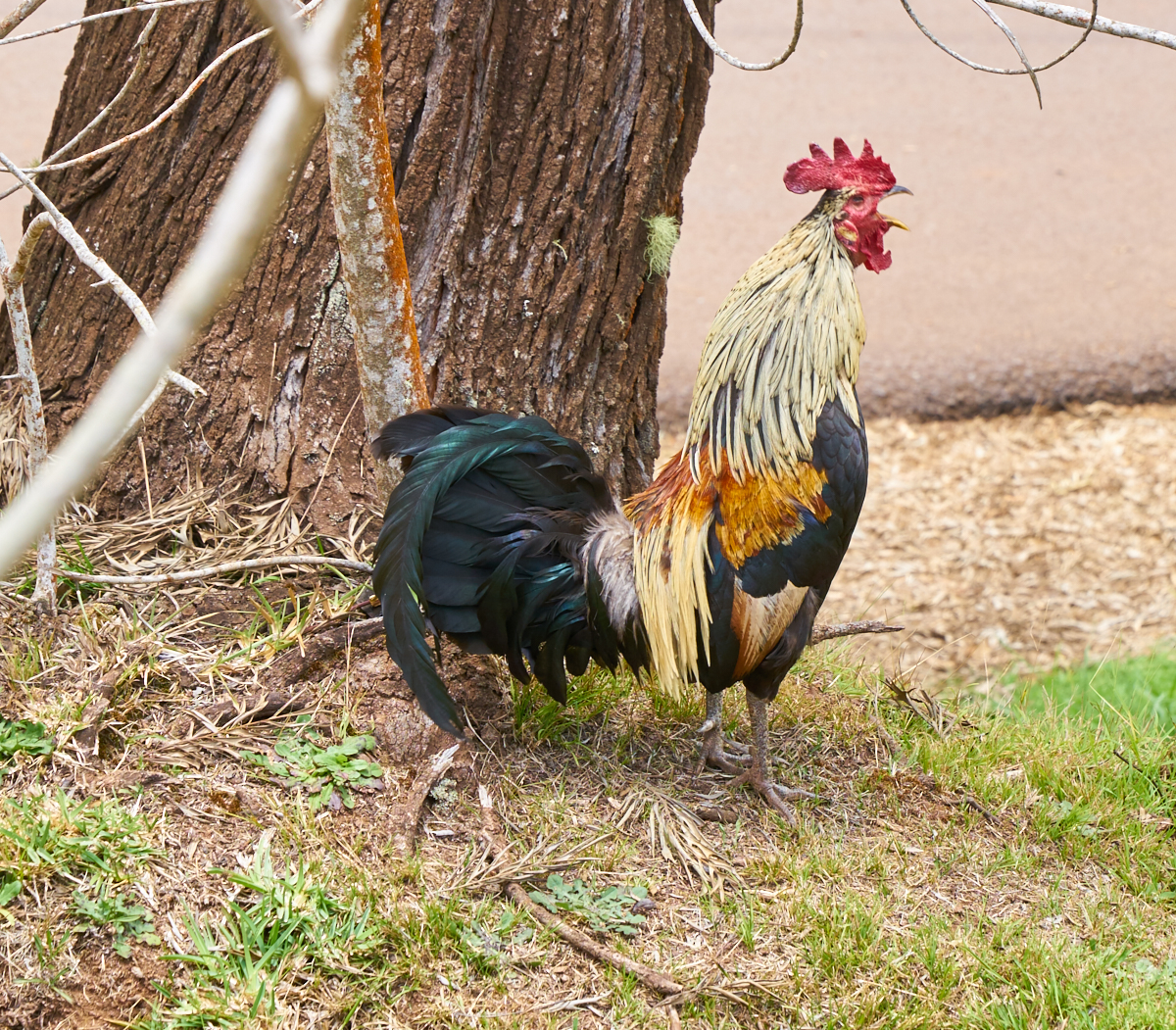
Plenty
of feral chickens on Kauai. These yard birds were
everywhere making noise and chasing each other around. We
were near a lookout point when we spotted this noisy fellow.
Our
first good look at the falls of the Wiamea River. The view
was breathtaking, but not the best view of the canyon.
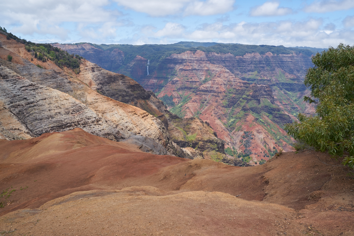
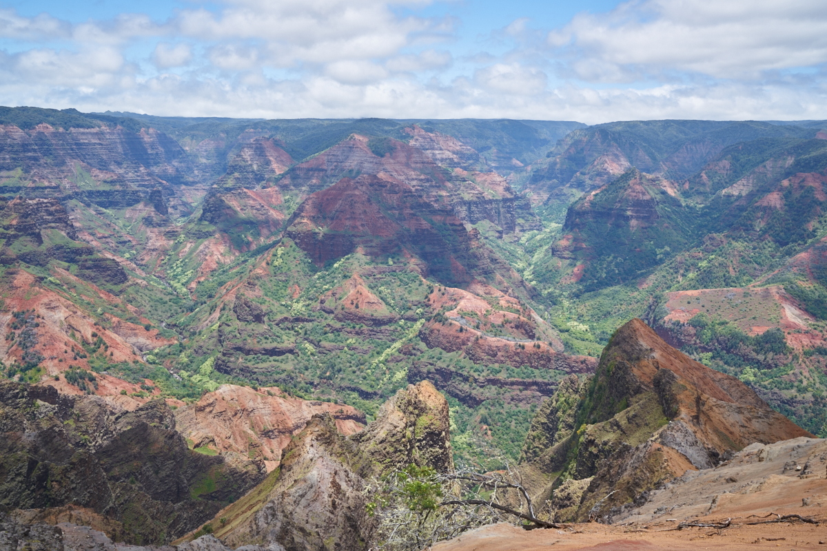
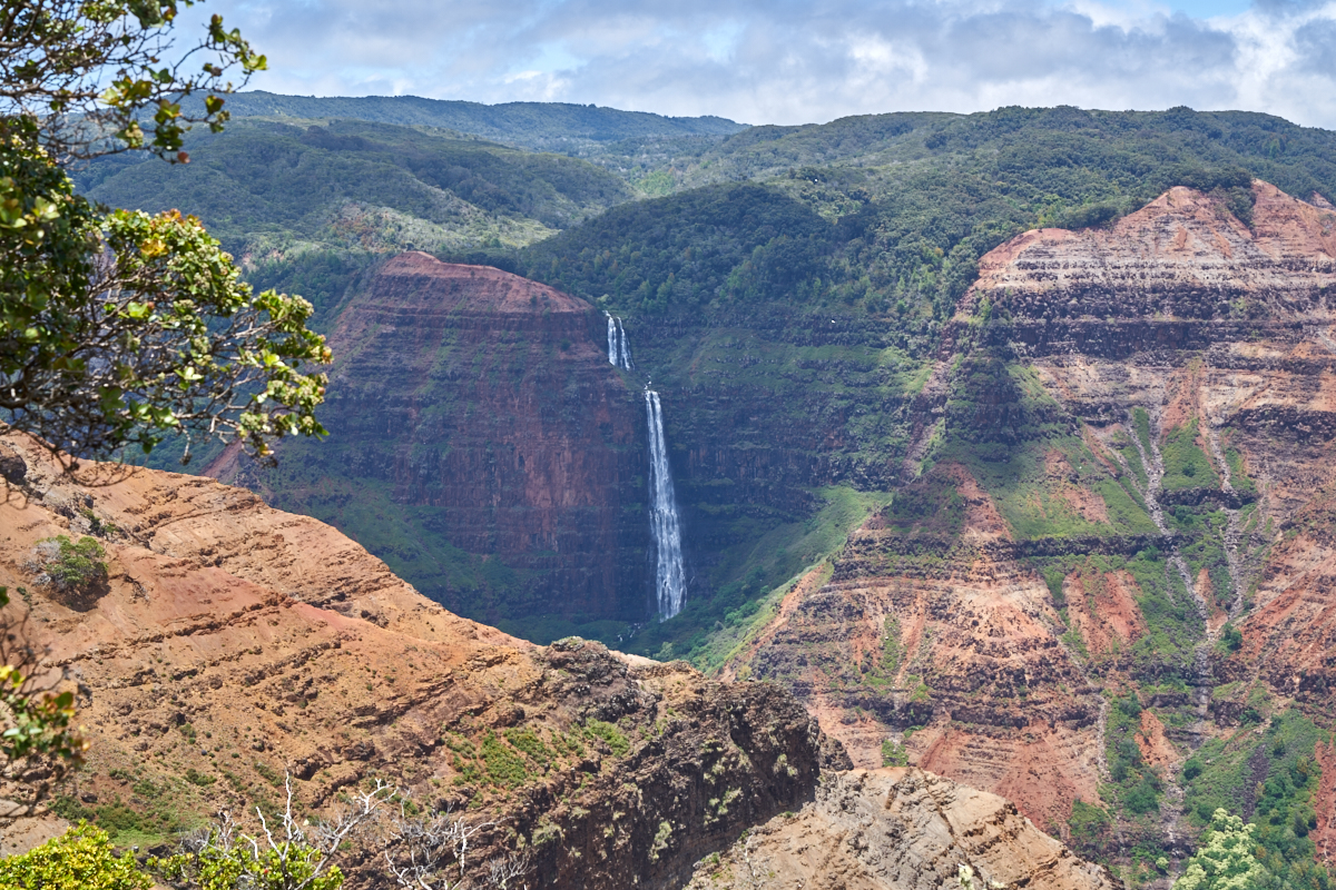
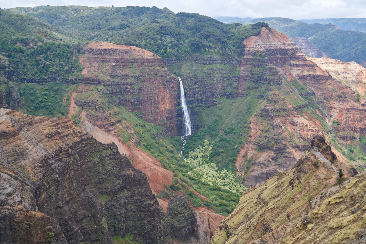
Further
up the road we came to a better viewpoint that had sweeping
views of the massive canyon. On the far canyon wall, we
could see Wiamea Falls. The erosion had exposed layer upon
layer of volcanic tufa rendered in subtle hues in the dappled
sunlight.
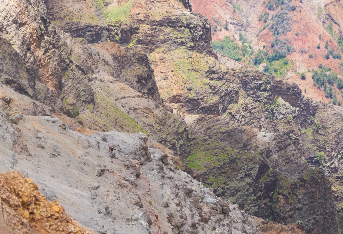
While
marveling at the scope of the canyon, I glanced down and spotted
a goat well below the canyon rim seemingly not distracted by the
danger of the steep terrain.
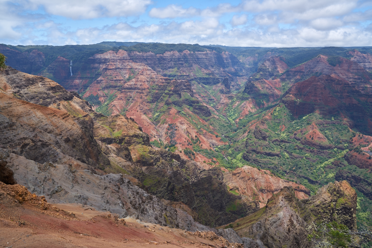
The
broken clouds caused the lighting to vary from moment to moment
revealing new patterns and textures in the canyon walls.
The
central part of the canyon has many branches, many of them
dry. Only the main canyon carried water.
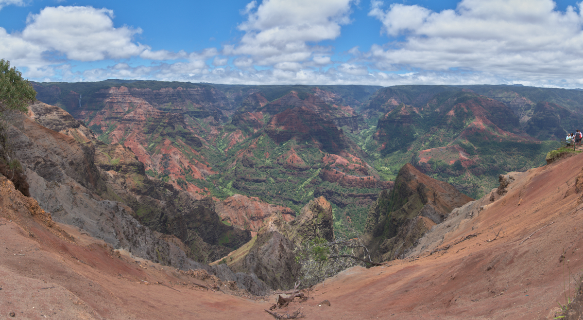
The
photo above is a 5-shot panorama that encompasses about 120
degrees of view.
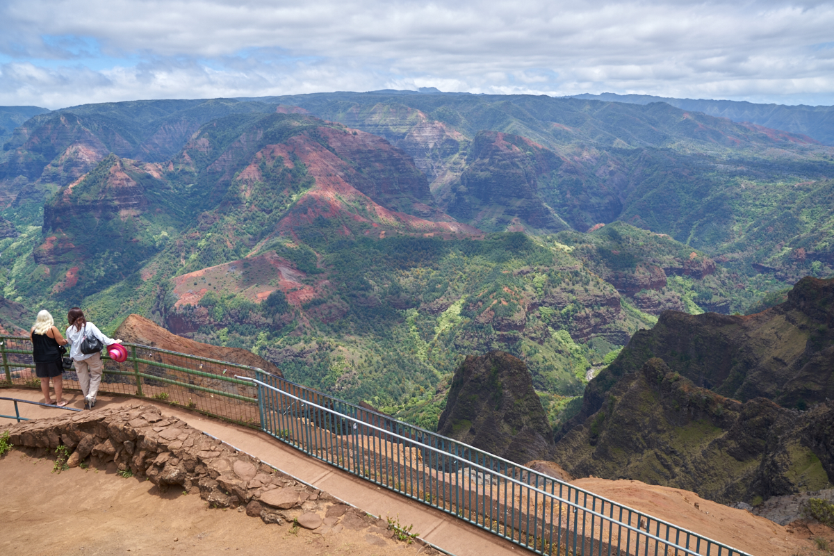
The
girls went to a lower lookout to get a better view of the downstream
portion of the canyon.
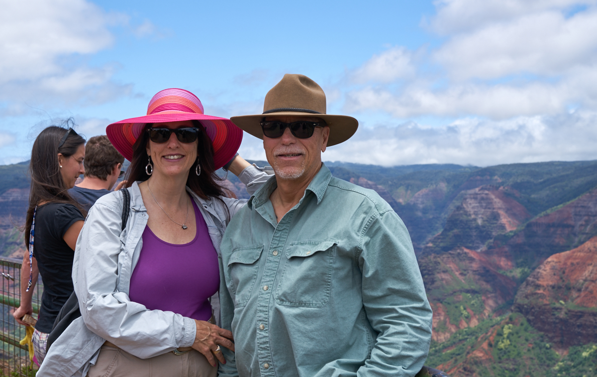
Sandee
was nice enough to take a photo of us.
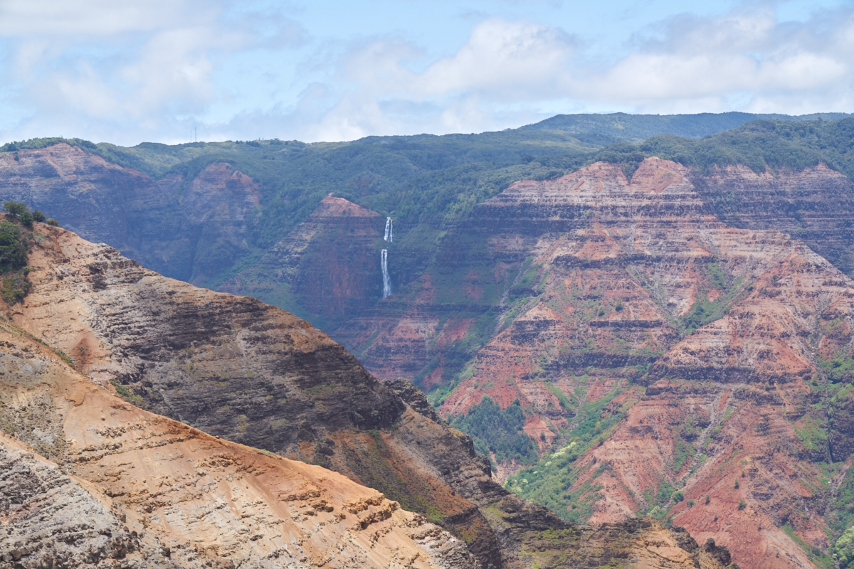
Another
viewpoint further up the road provided a closer view of the
falls.
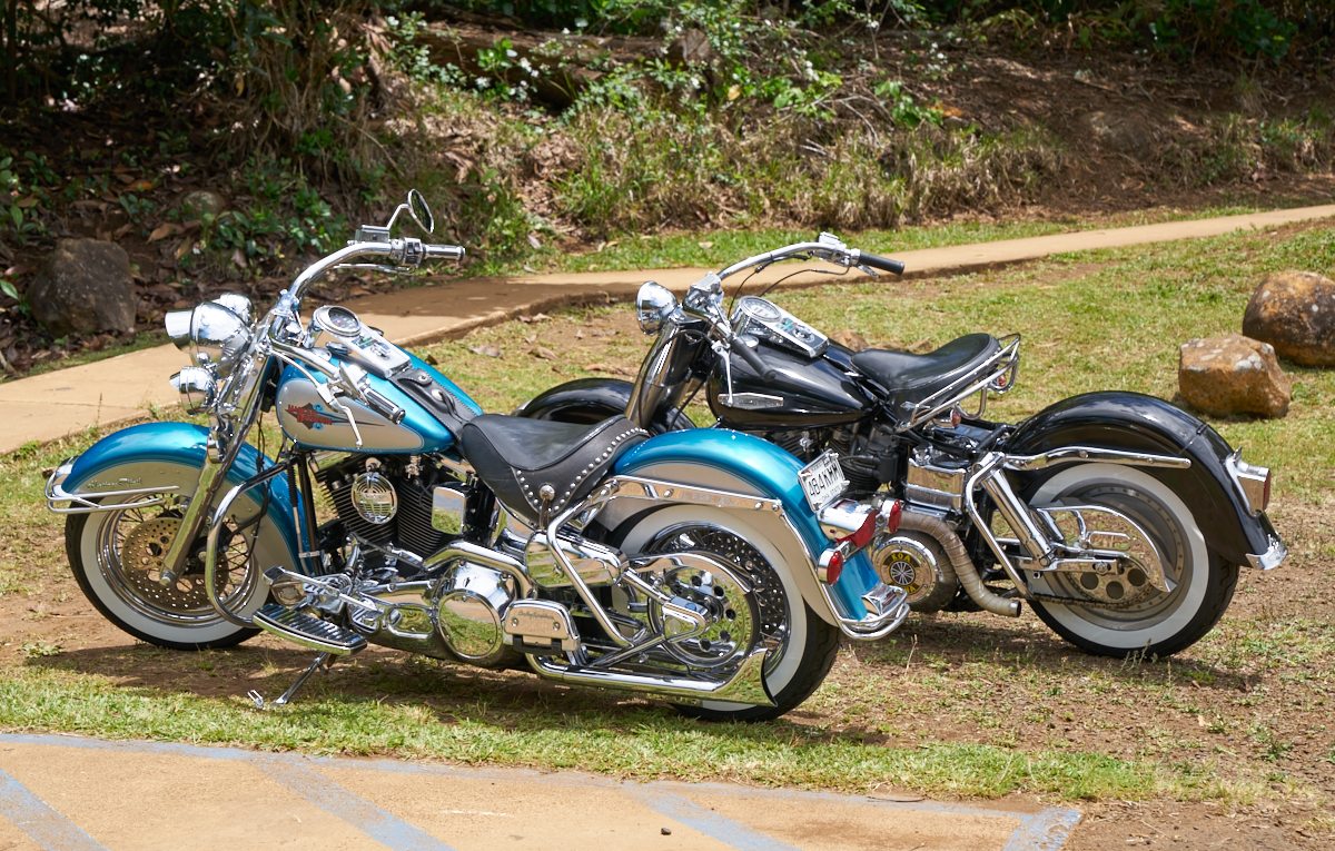
We came
upon these nice bikes at one of the lookout parking lots.
A view
looking downstream in Wiamea Canyon. The white dot on the
right side is a huge bird that was soaring in the canyon.
From the overlook, we could see a trail on the
crest of the far canyon wall. There were folks over there
seeking a better view of the canyon.
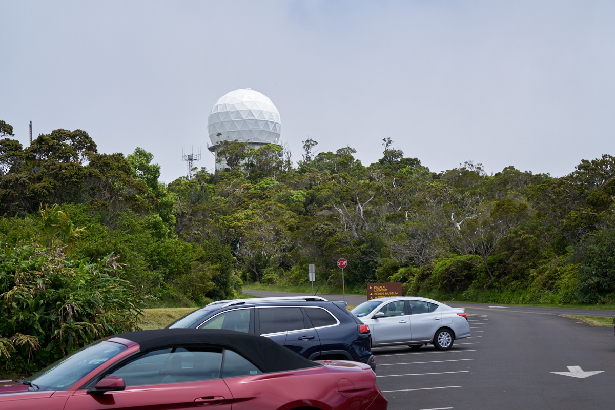
We
continued to the top of the mountain to the final overlook point
and came upon an air control radar operated as part of the
Pacific Missile Range Facility. PMRF has exclusive access
to a big chunk of the west end of the island.
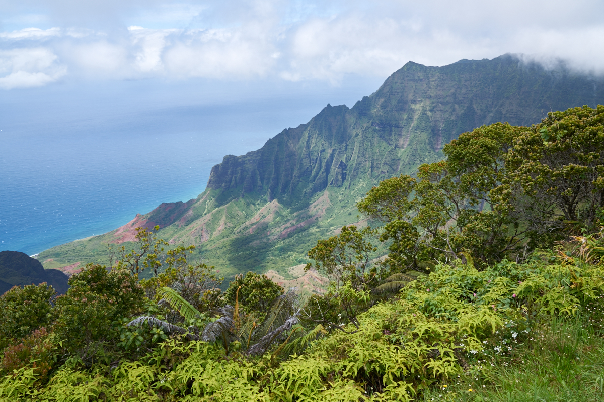
From the
overlook, we got a stunning view of the cliffs leading down to
the ocean. The scene is right out of a postcard.
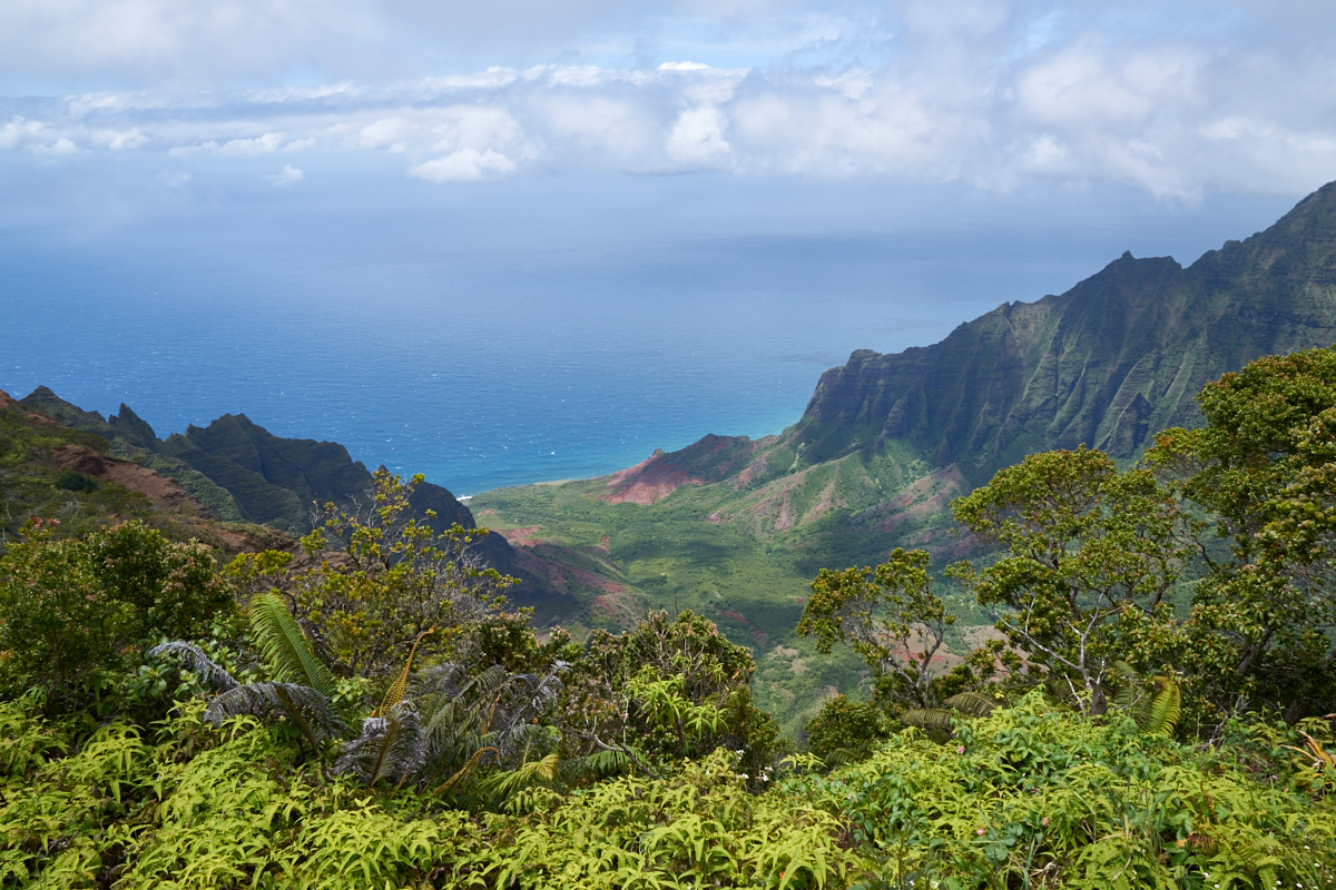
The
canyon walls were incredibly steep with the lower canyon
emptying right onto a secluded beach.
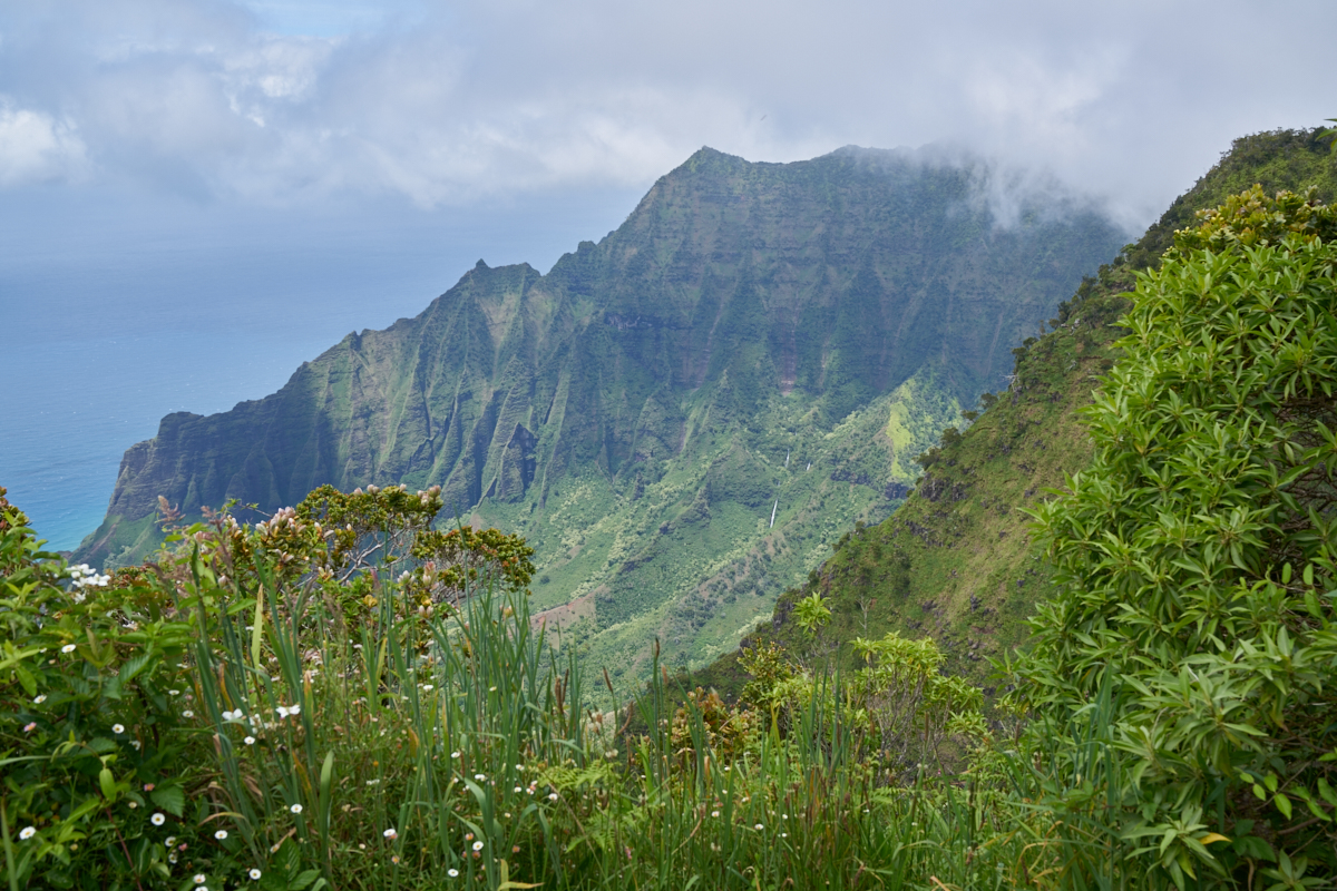
Moving
to a slightly different viewpoint, we could see a set of
waterfalls cascading down the far canyon walls.
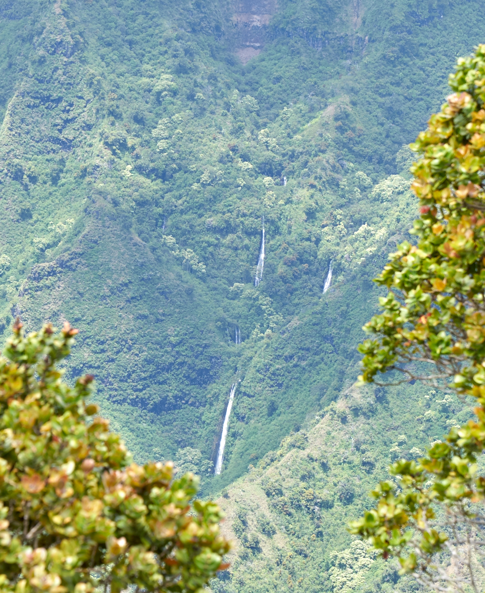
Zooming
in on the waterfalls, it was easy to see that these are very,
very tall falls.
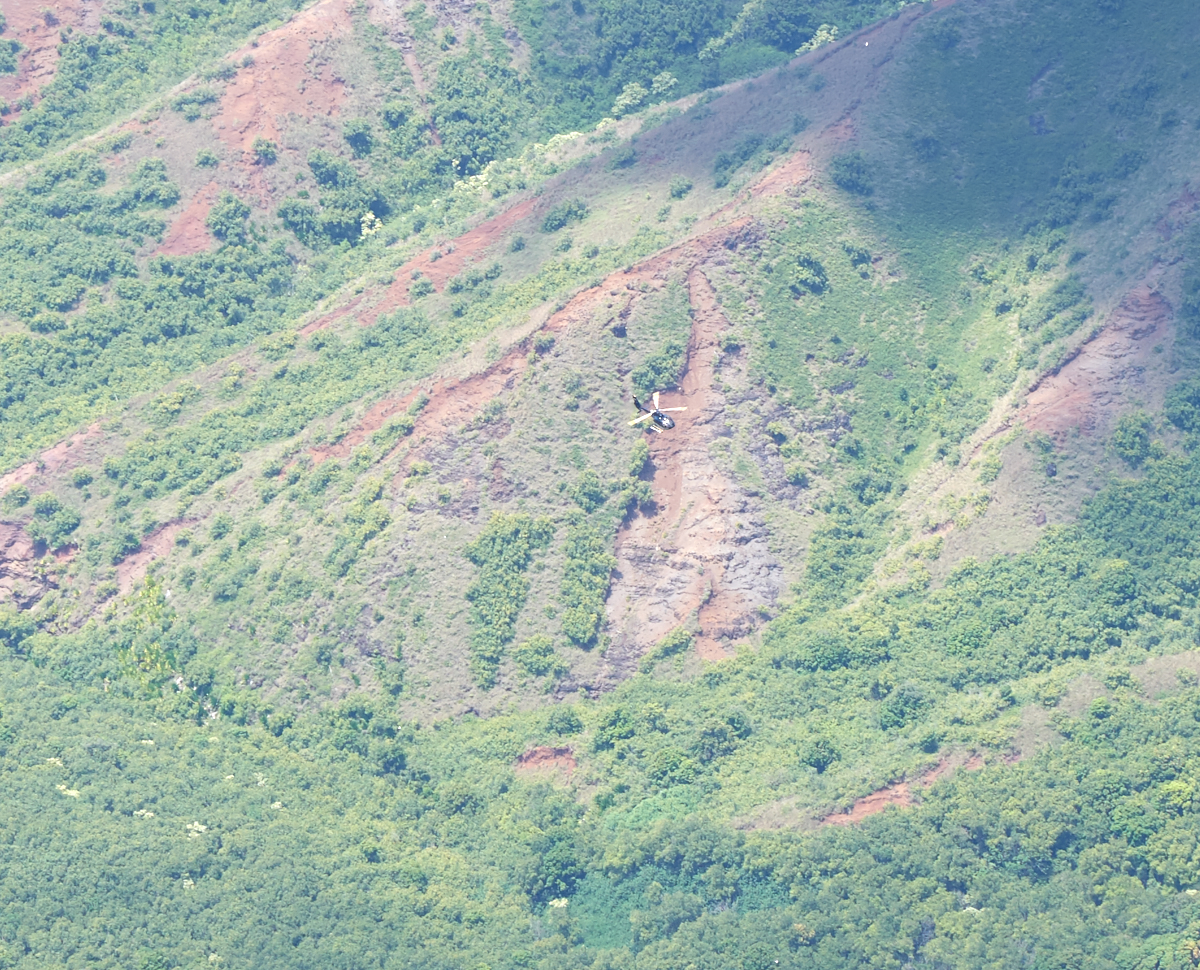
We heard
noise from the canyon below and had to look hard to see a
tourist helicopter working its way up the canyon. This is
a crop-of-a-zoom.
On our
return to the beach we passed another good overlook for Wiamea
Falls.
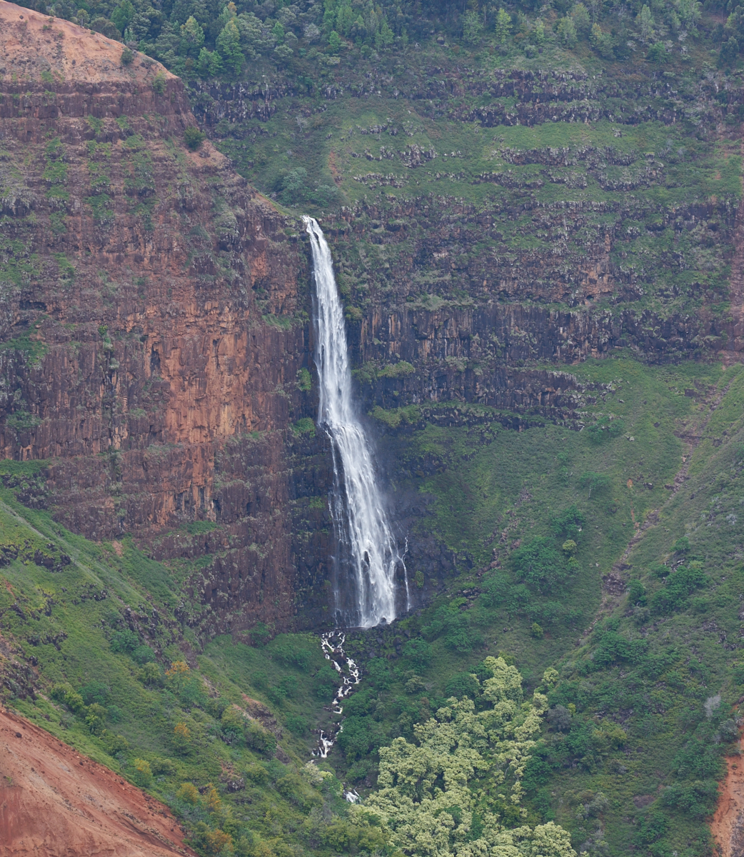
The
falls are huge.
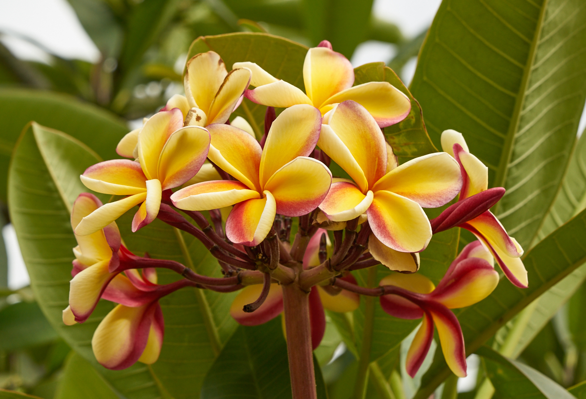
From the
mountains in the center of the island, we returned to the beach
area where we spotted these nice plumeria blooms.
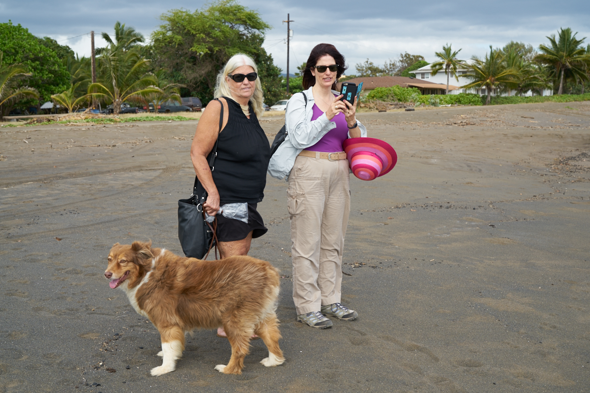
Rio,
Sandee and Kathleen
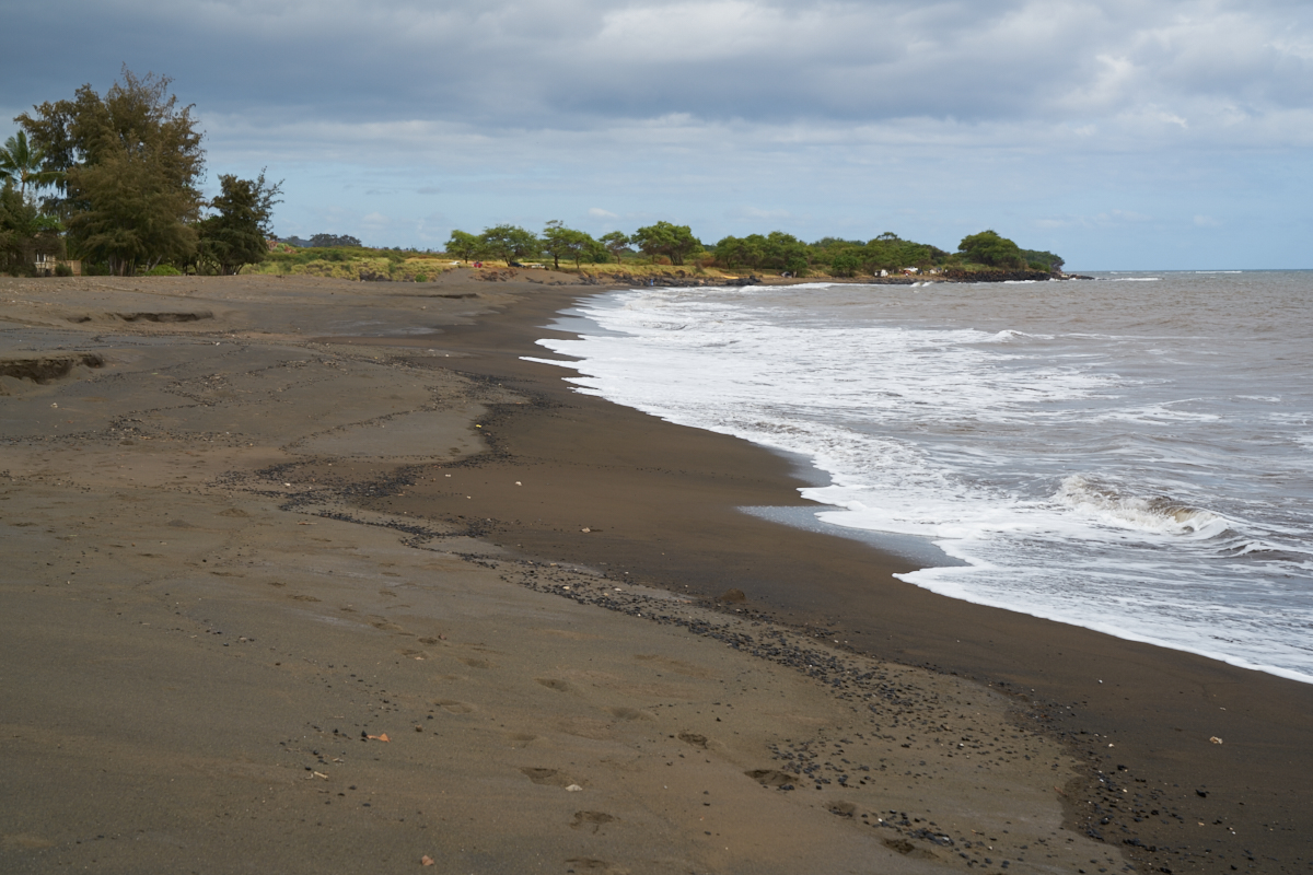
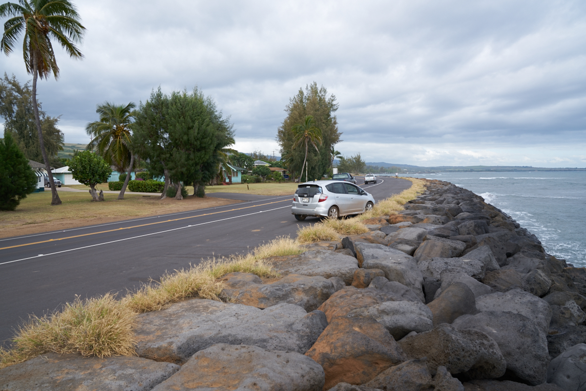
The volcanic sand beaches of Wiamea.
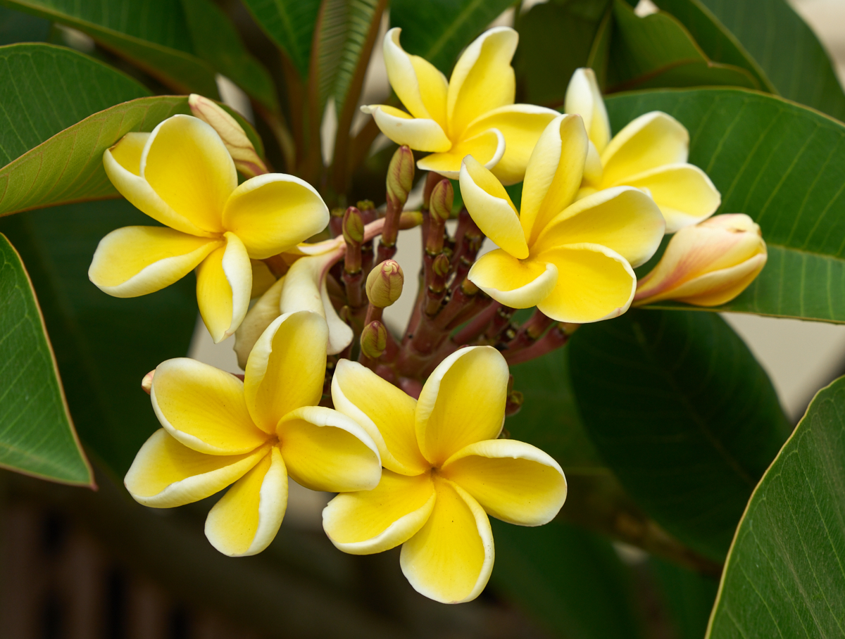
More
nice plumeria blooms.
| Previous Adventure | ||
| Trip Home Page |
Photos and Text Copyright Bill Caid 2016, all rights
reserved.
For your enjoyment only, not for commercial use.