The
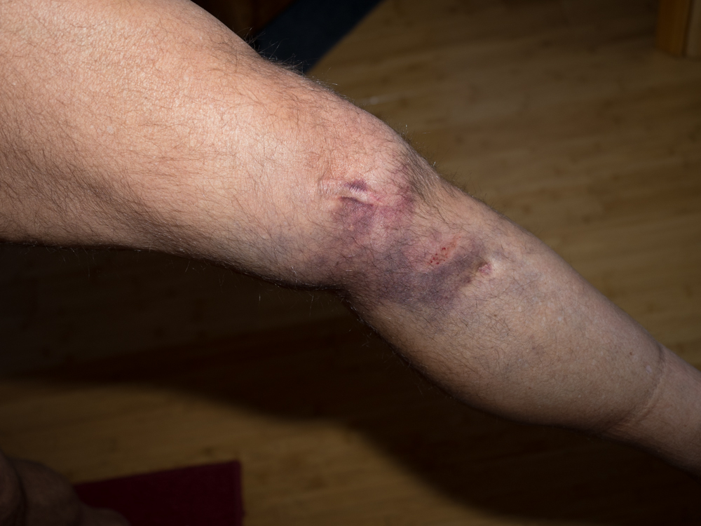
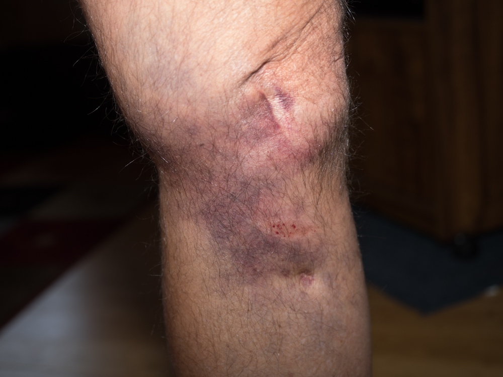
photos below are what we saw.
There
was much more bruising that I originally expected, but was happy
to see that the impact point was below my knee rather than
on it. The 2 scars are left over from a 1979 broken
femur. The lower scar is from the traction pin. I am
sure the bruise will get worse as time passes.
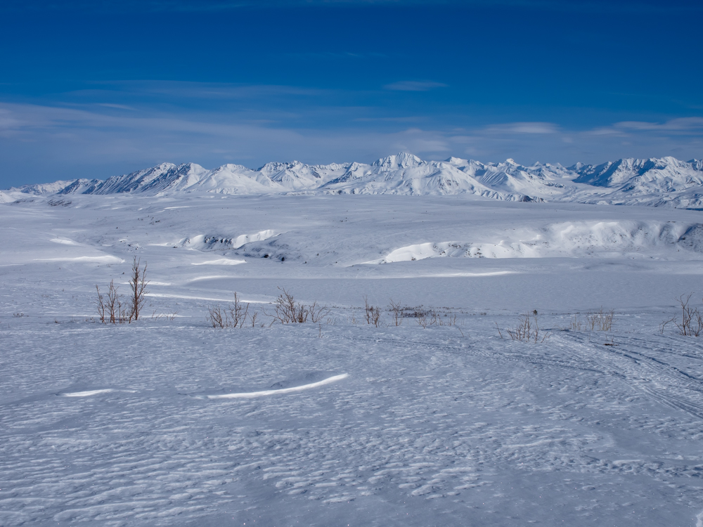
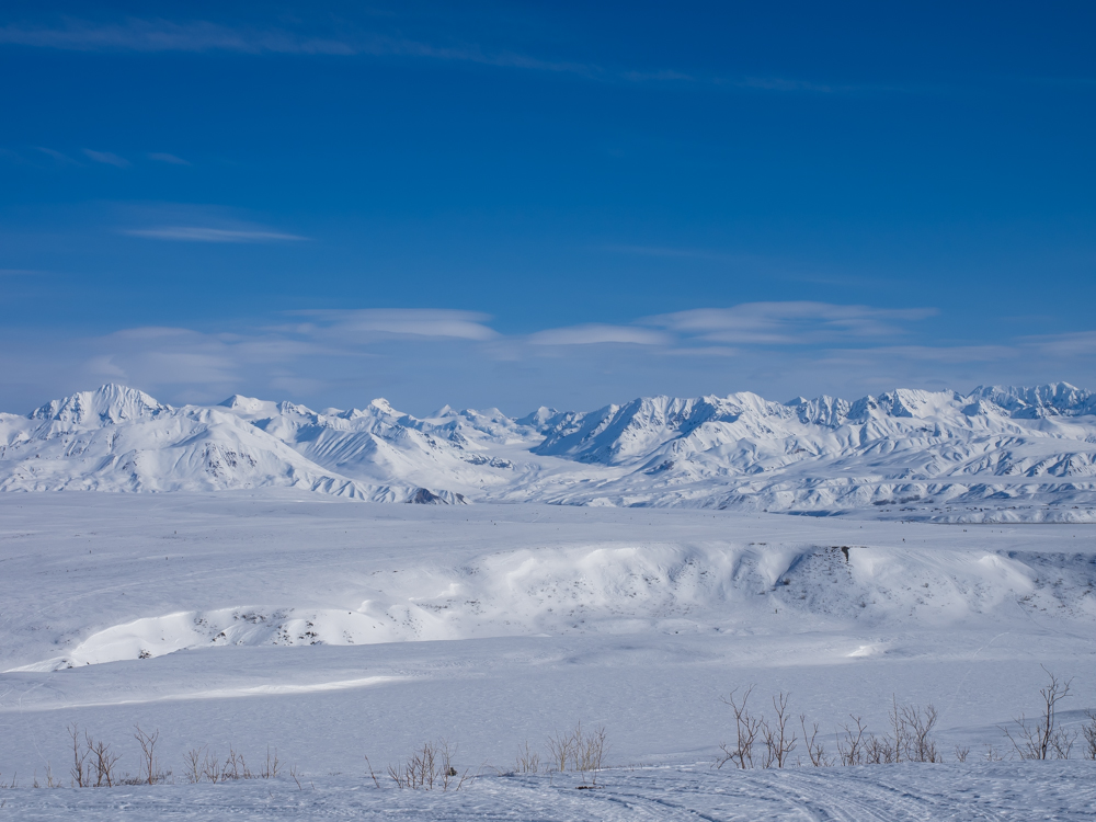
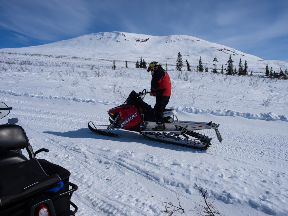
After I got through
feeling sorry for myself, we suited up and headed out to McLaren
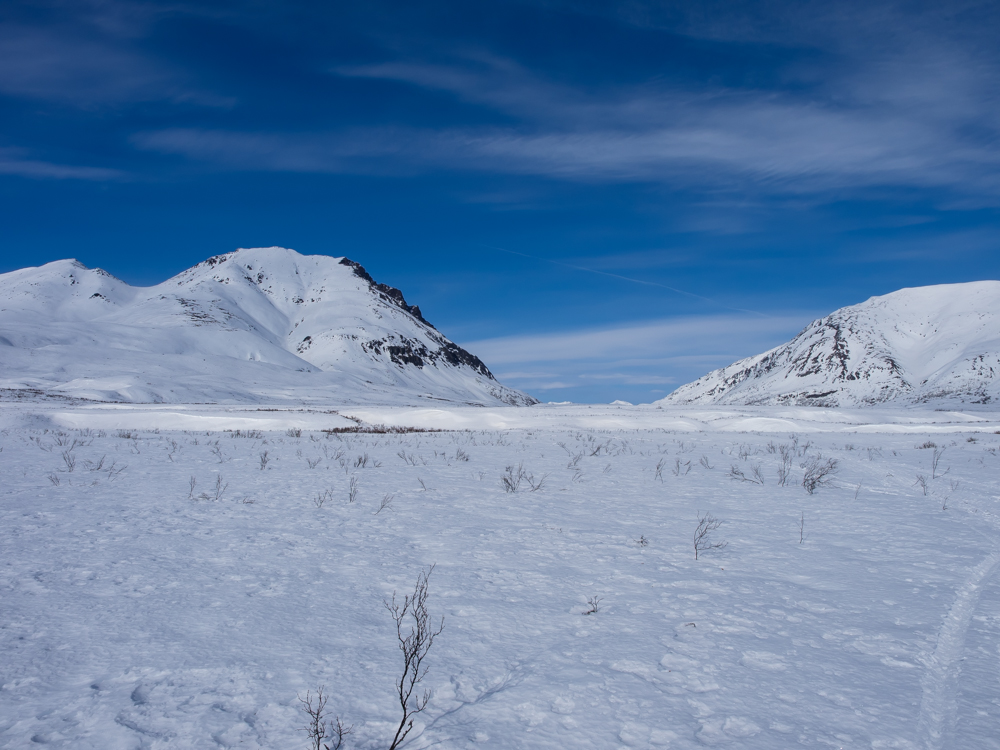
Lodge. As we got higher on the ridge en-route to McLaren
Lodge we got a nice view of the mountains to the north of
Dan's cabin.
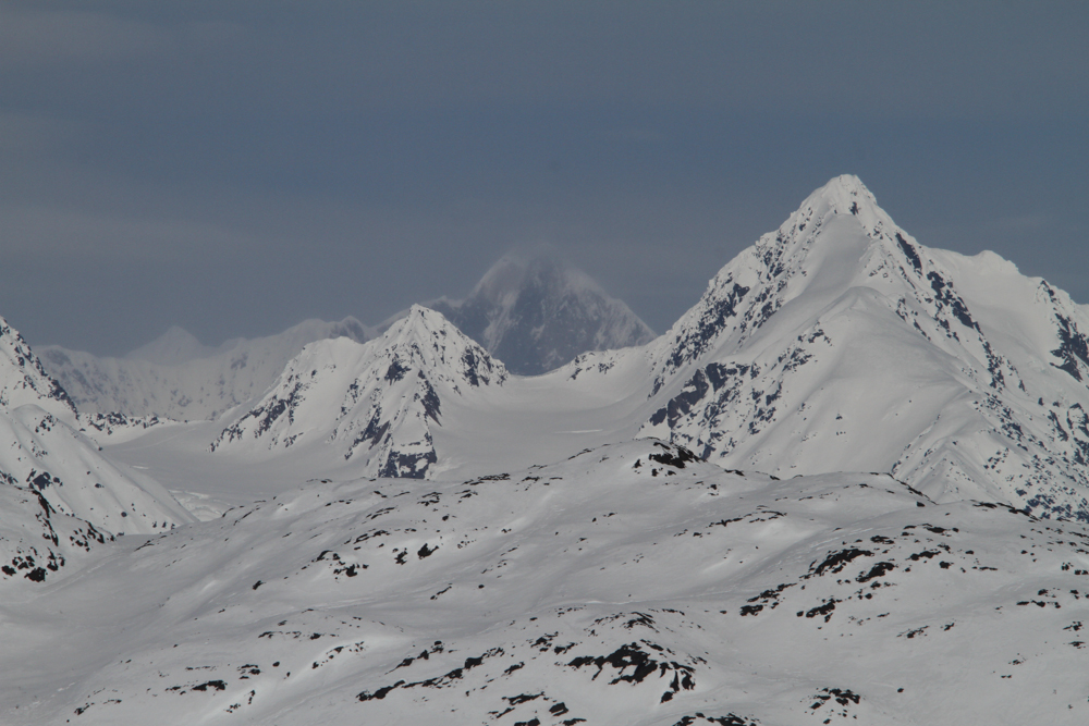
We did a
stop for photos at an overlook point.
The
glacier at the center of the photo above will be our objective
for tomorrow.
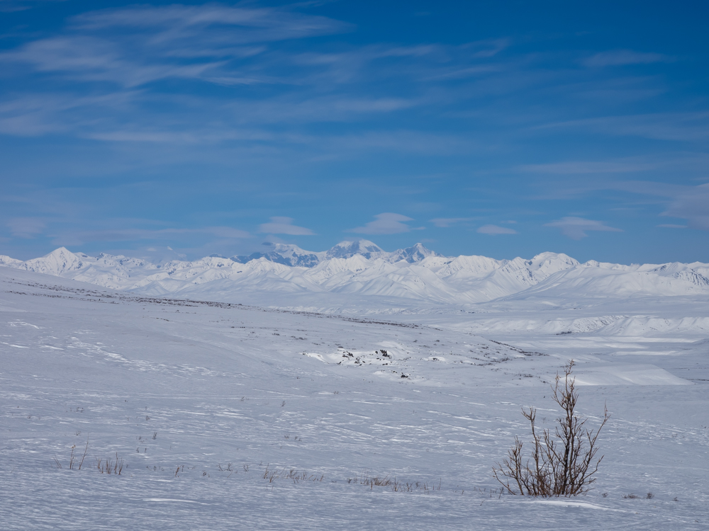
To the
northwest were some large peaks in the Alaska Range.
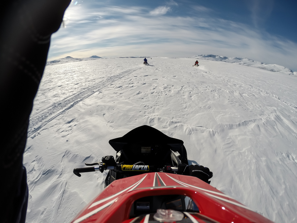
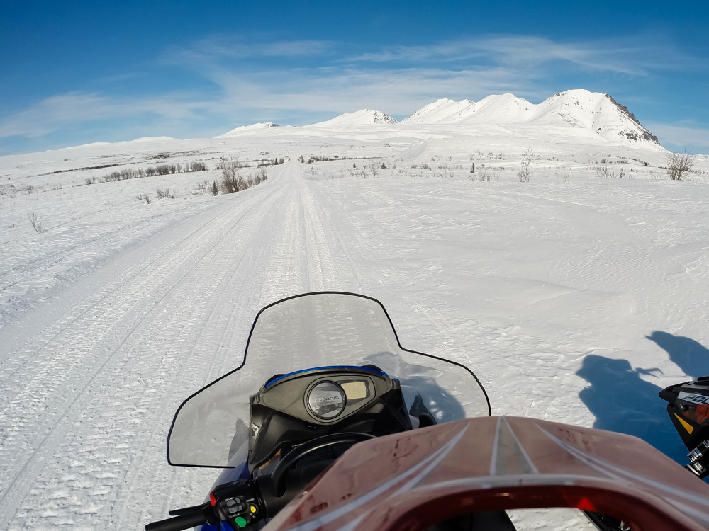
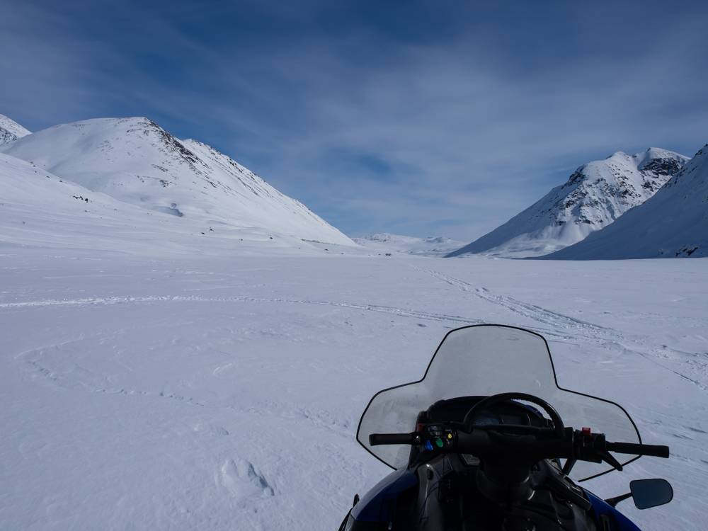
My GoPro
allowed me to take snapshots while in motion. Above, we
are heading across Summit Lake. I did not run the remote
as it drained the battery far too fast. So, that is my
hand in the left of the photo above.
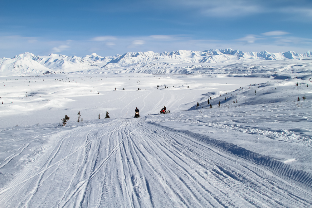
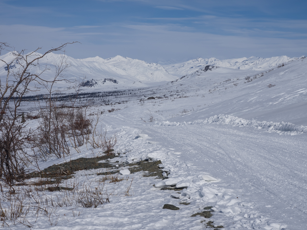
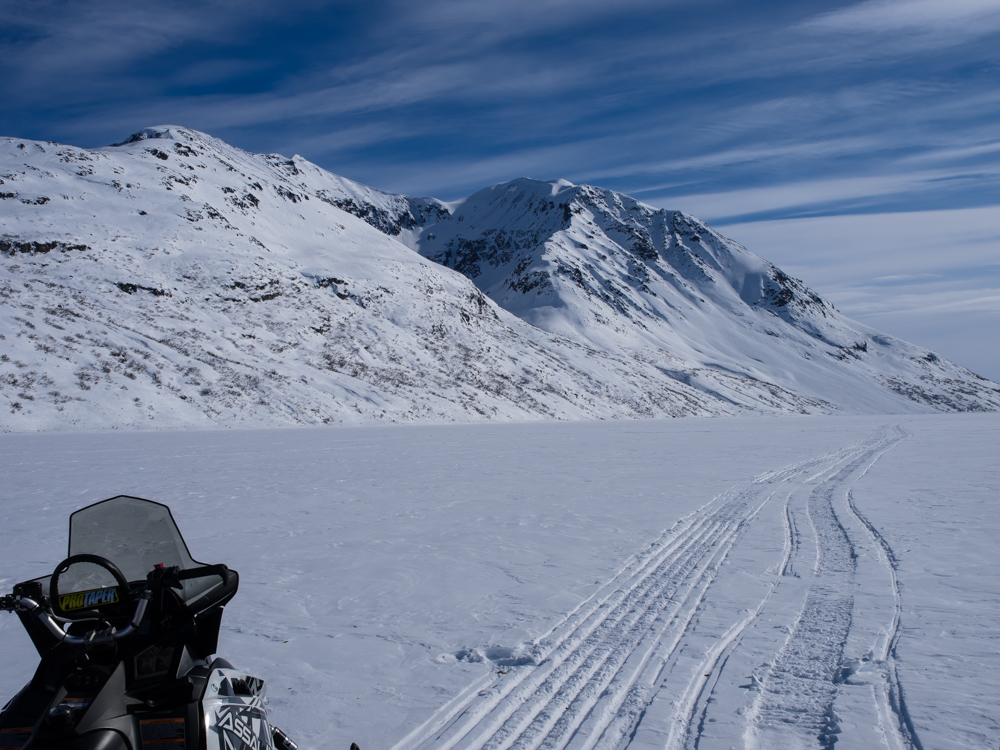
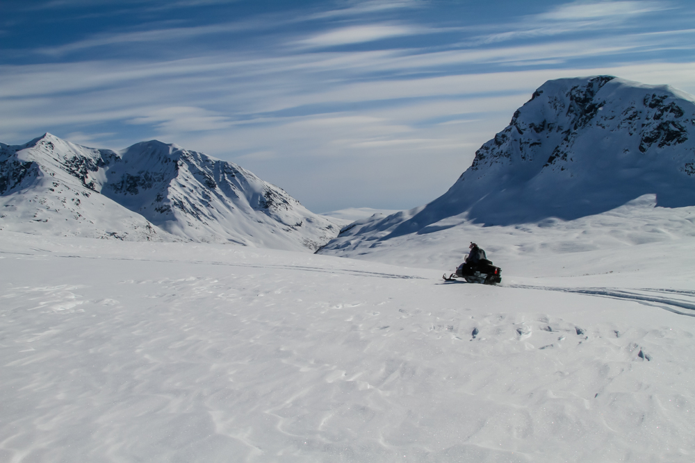
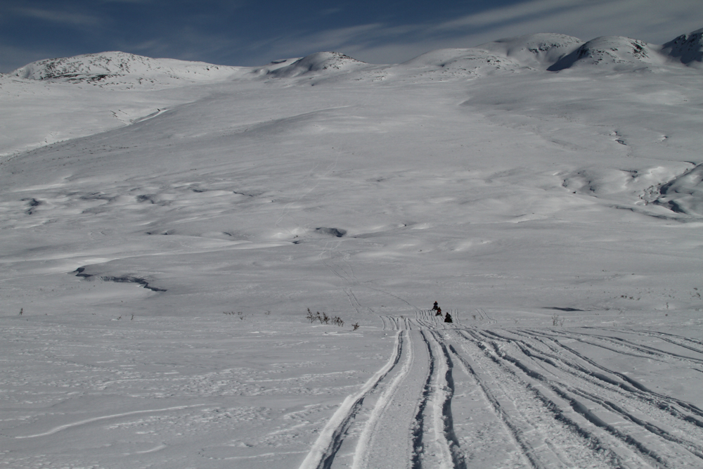
The
higher ridges provided a dramatic view of our route.
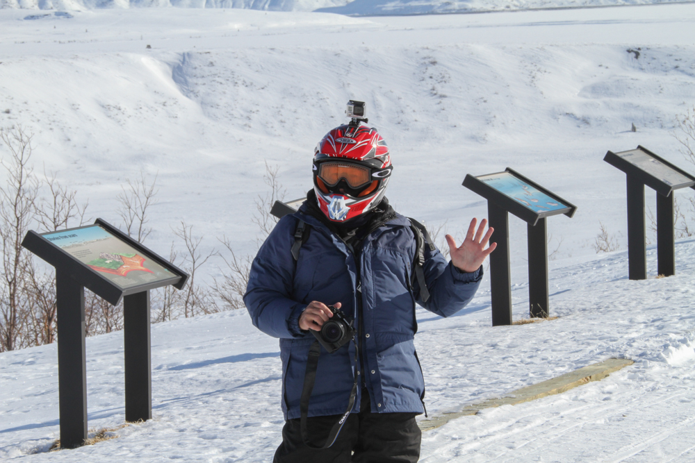
Roberto
shot this photo of me. The GoPro makes me look like an
space alien.
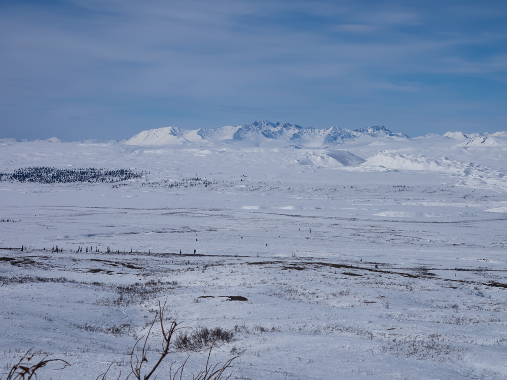
Other
ranges were visible in the distance across the flats.
Our path
followed the Denali Highway.
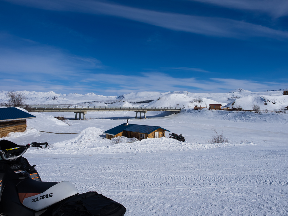
It was
about 35 miles to McLaren Lodge. When we arrived we
crossed the McLaren river via a concrete bridge. We had
lunch at the lodge and filled up our gas tanks.
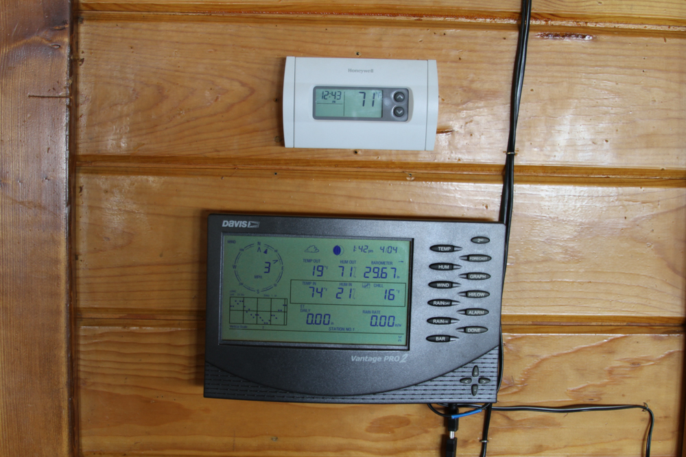
The
thermometer at McLaren Lodge showed the outside temperature to
be 19 degees at 1:42pm.
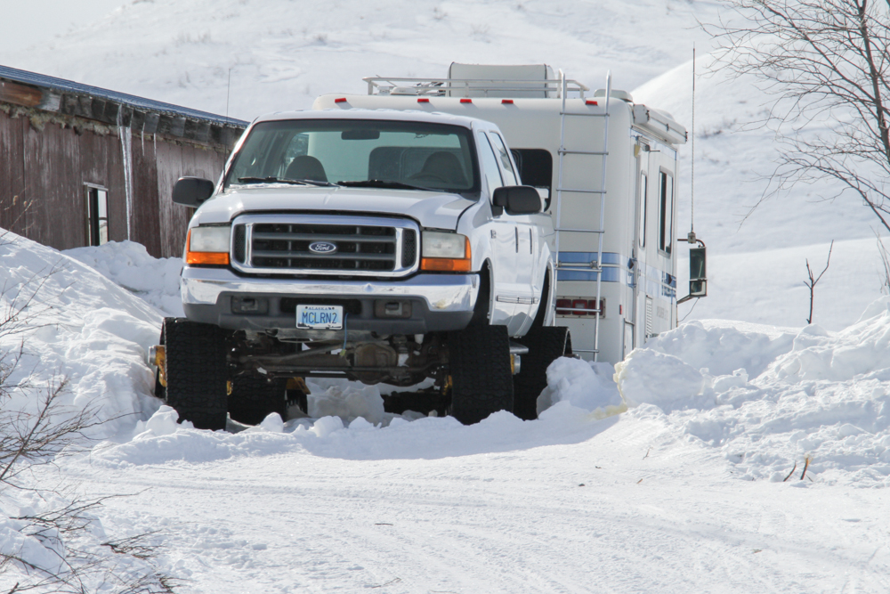
The McLaren Lodge has a Matt-Tacks upgrade to their pickup.
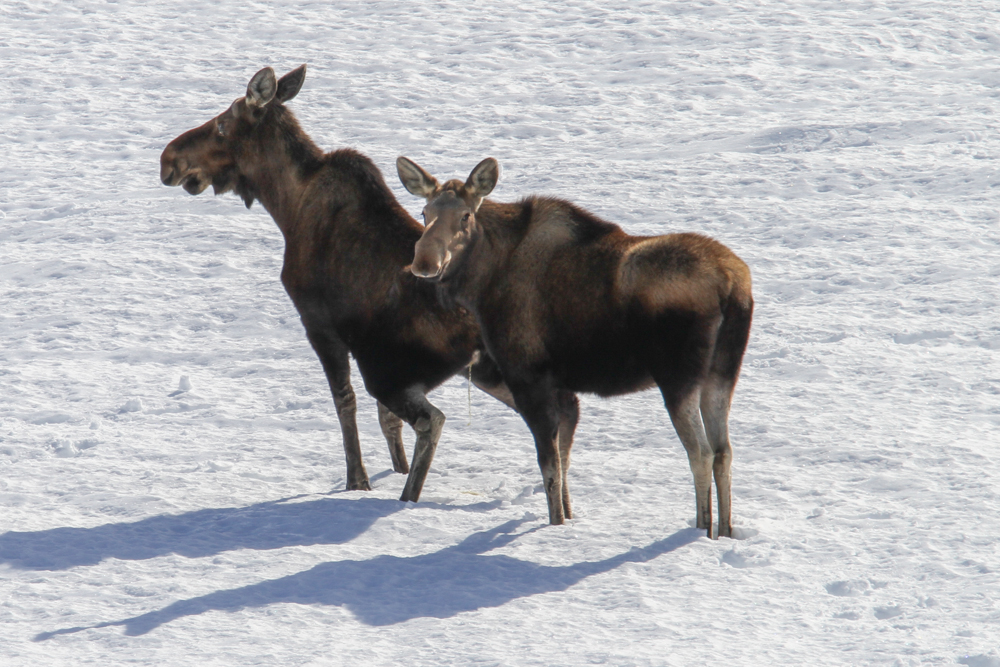
Roberto's
long lens got us "close" to these moose.
After
lunch, we headed north along the McLaren river, then east.
The first part of this path was actually groomed by the SnoCats
at McLaren.
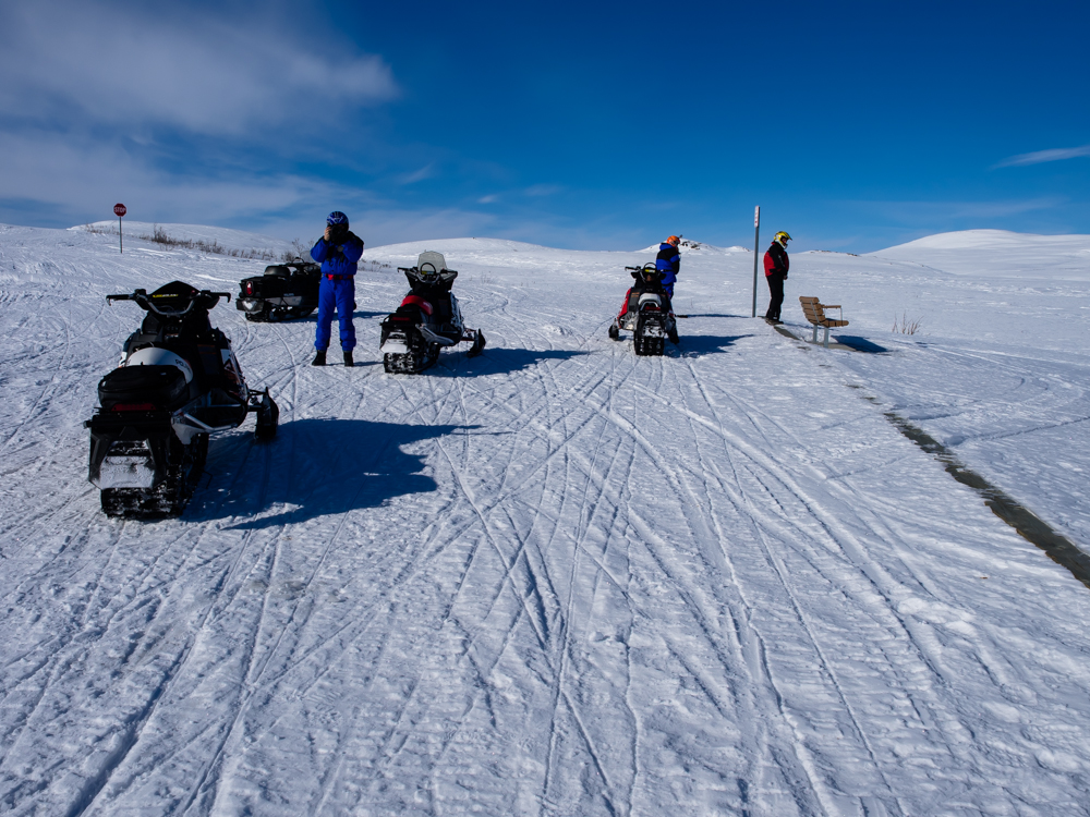
We
needed to stop periodically for photos and bio-breaks.
Dressing in cold weather clothes makes simple tasks
difficult. These are the times when it is really nice to
be a guy.
We
turned east off the groomed path into the glaciers.
We
climbed higher on the glacier and had to stay to the center of
the valley due to the possibility of avalanches.
The
surrounding peaks were rugged.
Our path
will take us through the divide in the center of the photo.
Our path
will be through the notch in the center of the photo.
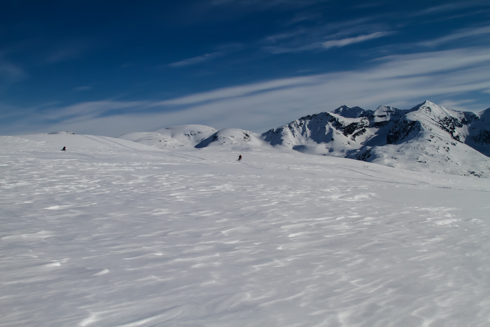
We had
several ridges left before our descent.
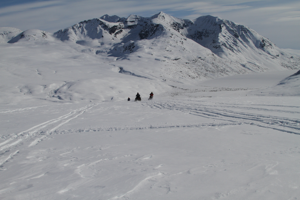
We
finally crested out and started down into the next drainage.
We had a
substantial distances to cover.
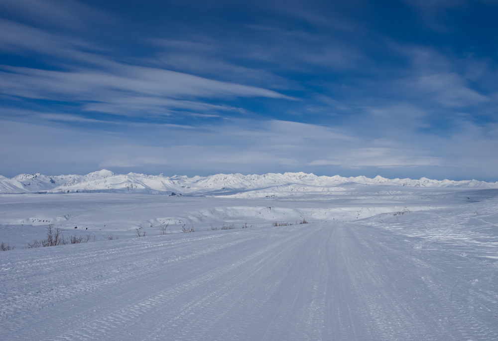
Finally
we crossed the flats to get back to the Denali Highway.
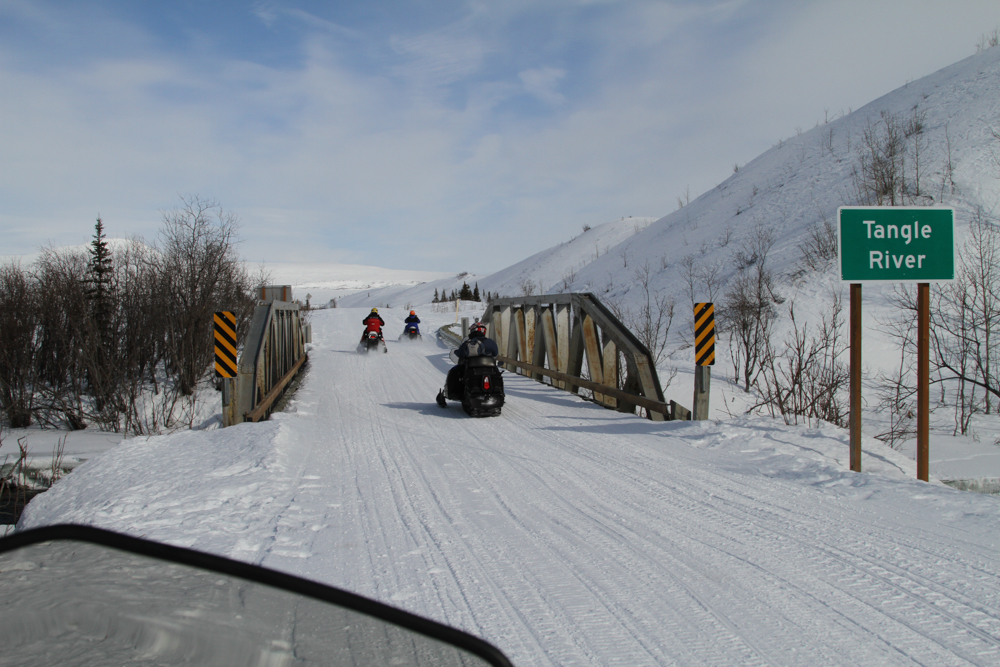
There
was a campground at Tangle River and the bridge crossed running
water which was flowing fast enough to not freeze.
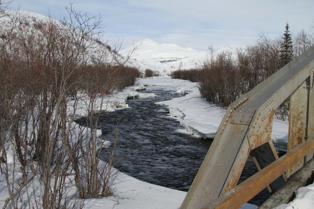
The
Tangle River is small by Alaskan standard, but would be a major
river by California standards.
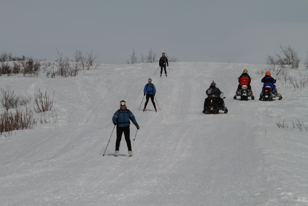
We
encountered a trio of cross country skiers on the Denali Highway.
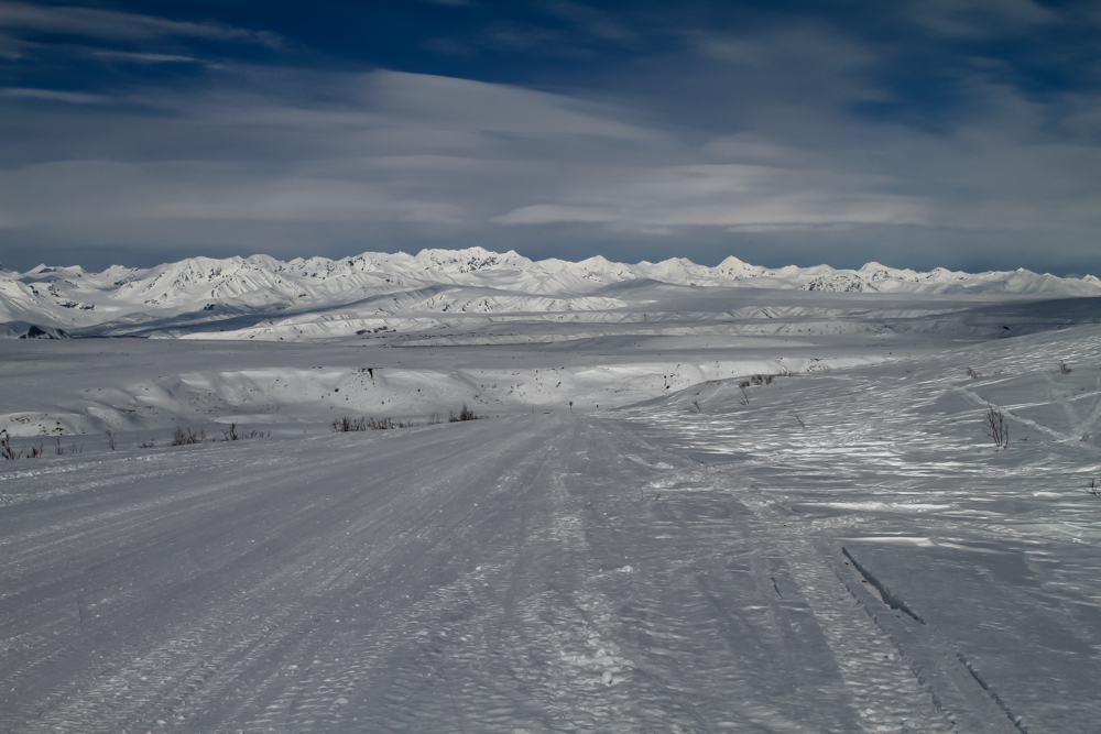
The last
crest before the downgrade to Summit Lake provided a nice
end-of-day scene.
| Previous Adventure | ||
| Trip Home Page |
Photos and Text Copyright Bill Caid 2014, all rights
reserved.
For your enjoyment only, not for commercial use.