The photos below are what we
saw.
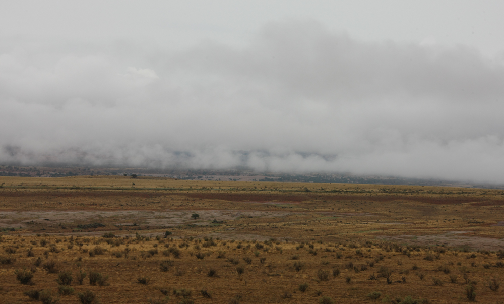
The low clouds had socked us
in; we were in and out of the clouds as we made our way south
off the Anticline Overlook mesa toward US-191.
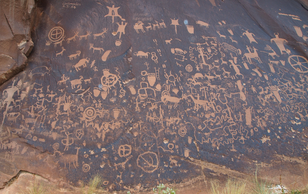
Despite the overcast and
rain, we decided to take the short detour to Newspaper
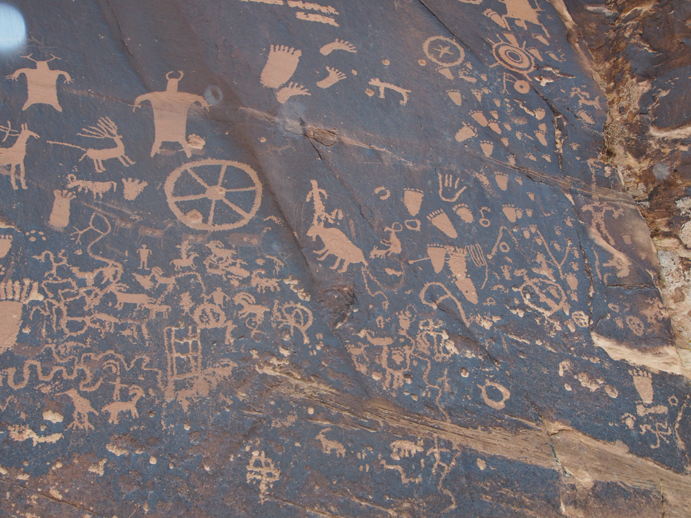
Rock. Newspaper Rock is one of the more richly decorated
petroglyph areas in the west.
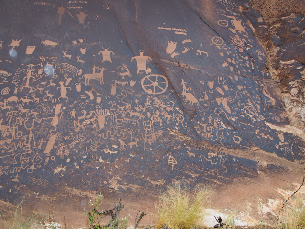
A number of the icons here
are recent as evidenced by the sharp boundaries. One of my
favorite icons is in the upper left of the photo above; the
fellow with the snakes coming out of his head.
The figures in the upper
left are either shaman or extra-terrestrials depending on your
personal belief system.
We slogged on through the
rain until we got off the high portions of US-191 and descended
the cliffs into Bluff, UT. Bluff is situated on the San
Juan river at the foot of a large set of sandstone cliffs.
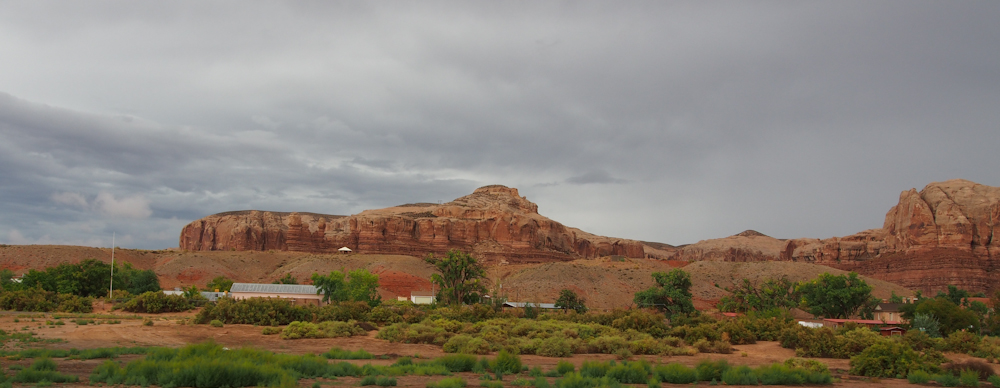
On the west side of Bluff we
encountered the first evidence of flash floods in the
area. Unbeknownst to us, a big portion of the west had
suffered heavy rains and associated flooding. In the
slickrock country, flash floods are common.
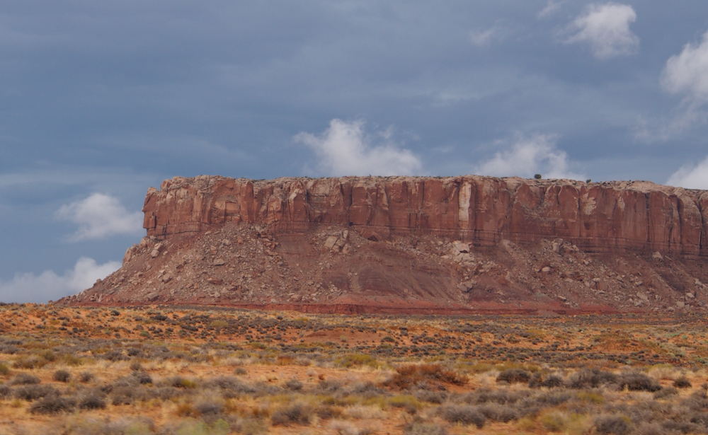
The wall of cliffs near
Bluff, UT were tall and impressive.
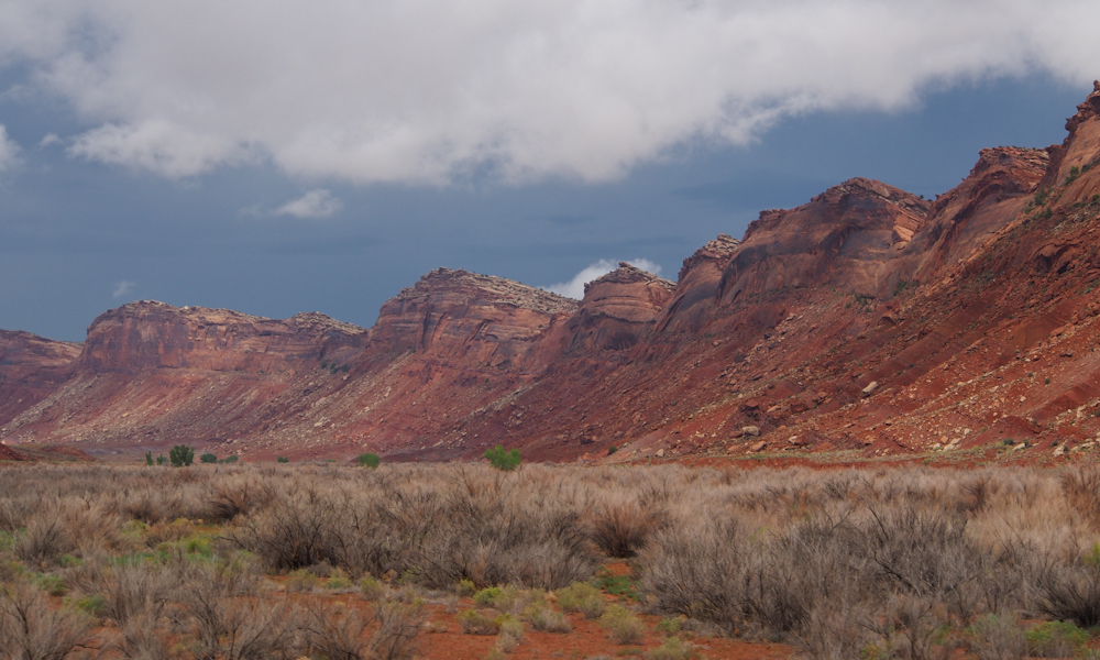
The road passed over an
awesome hogback structure. Our reference map for the area,
AAA's "Indian Country", is the definitive source for information
and showed that this hogback is flanked by 2 dirt trails, one
east side, one west side. Next time we are in this area we
will travel both roads.
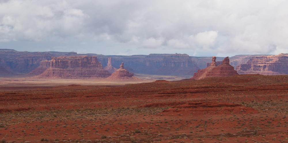
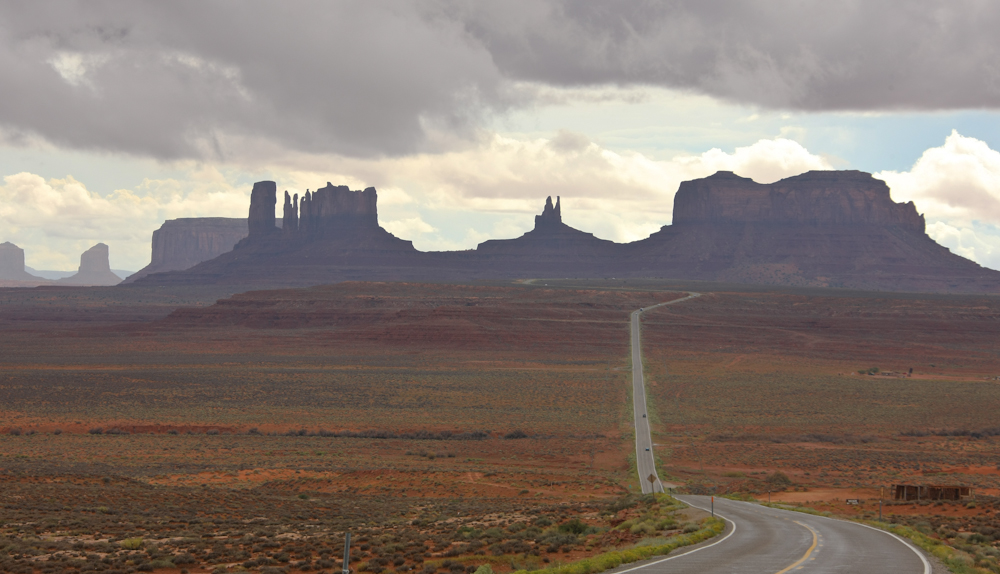
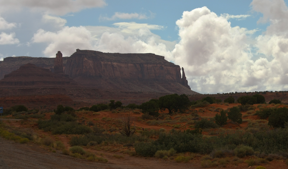
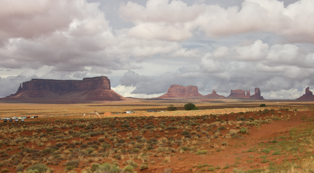
Continuing south we came to
the northern border of Monument Valley. The cloudy skies
made lighting difficult for the cameras, but even at a long
distance the monuments were imposing.
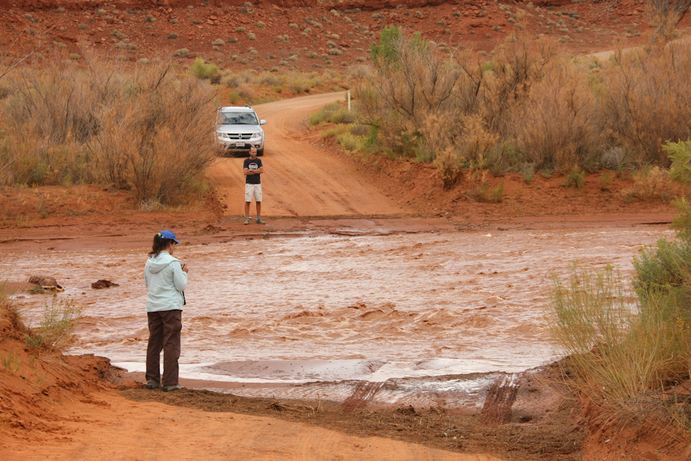
Houston, we have a
problem. Kathleen spotted this fellow from the highway and
we took the dirt trail to check things out. The license
plate on the car says California, but we were guessing the
fellow was a European tourist from his accent. He was
smart to not attempt to cross the wash, but did ask us to tow
him across with Thor. The water was swift and the mud on
the edges of the water was thick, gooey and slippery as
snot. Thor would have likely been able to cross without
incident, but towing him across would have flooded his vehicle
with silt-laden mud. We declined his request and
told him that he should just wait until the waters subside.
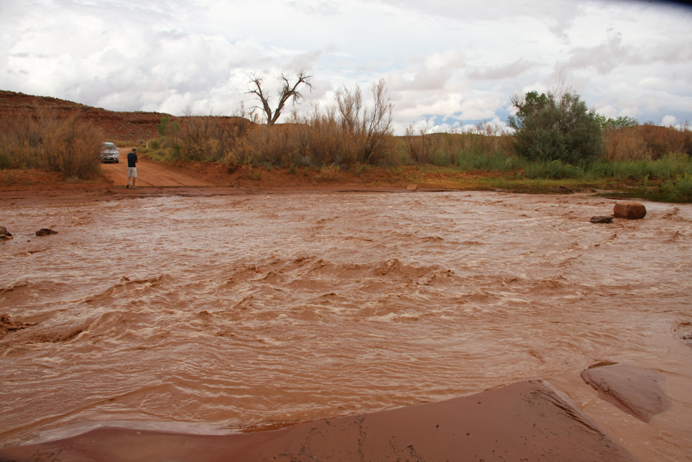
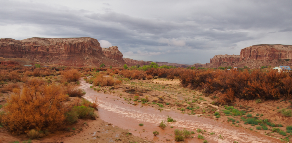
This photo gives a better
perspective on the size of the creek. Note the tire tracks
in the lower right of the photo. Towing him across would
be a really, really bad idea.
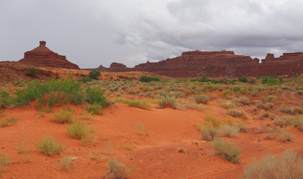
While assessing the stranded
motorist situation, I noted some small sand dunes near the
wash. When the sandstone in the area weathers, it turn
back into sand resulting in dunes. The pink colors were a
nice compliment to the deeper colors of the rock still standing.
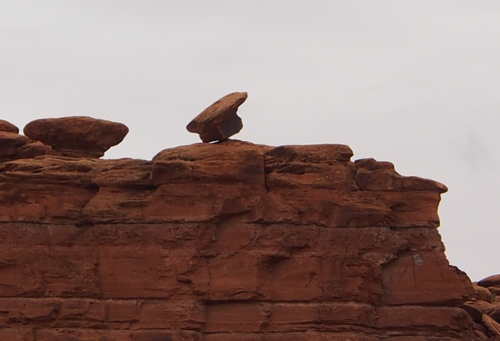
A bit further south toward
Mexican Hat, we spotted a hoodoo that had recently failed.
We were in this area within the past 5 years and this structure
was still intact. The less weather-resistant underlying
layers finally eroded and allowed the cap rock to fall.
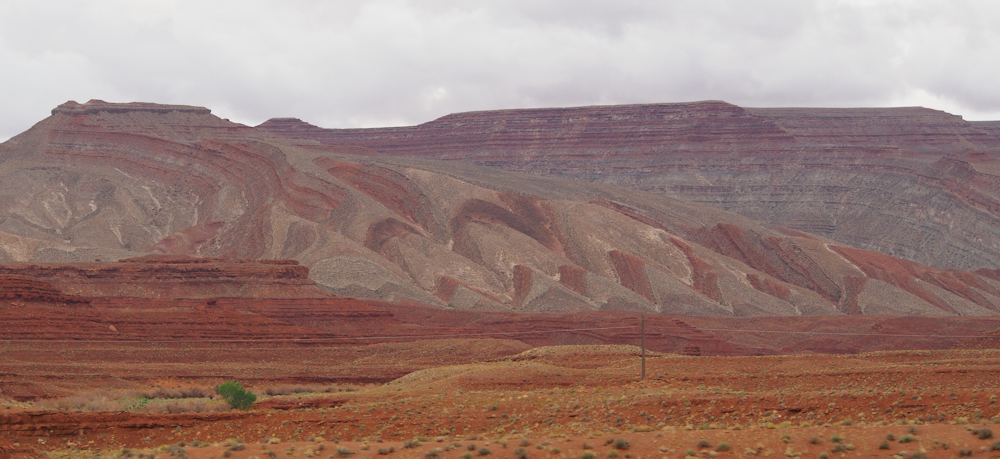
Near Mexican Hat, there was
a colorful monocline that clearly showed the effects of
differential weathering of the rock strata. The
post-uplift weathering and erosion revealed a warped,
multi-colored layer cake beneath.
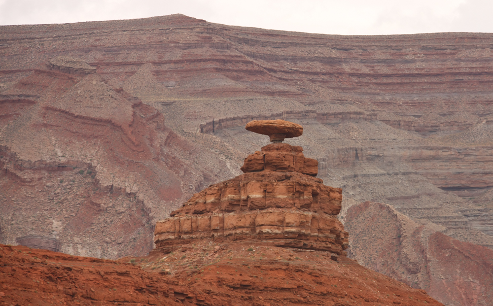
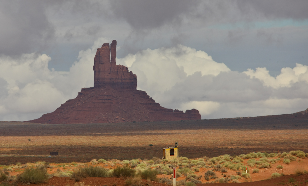
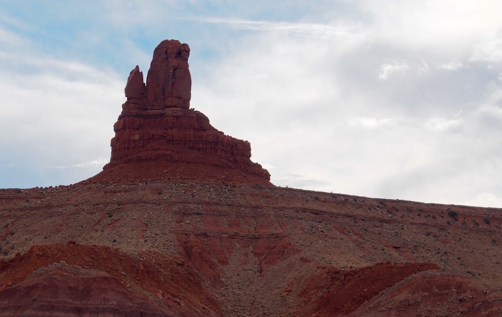
Mexican Hat is the signature
hoodoo in this area. And, like the hoodoo shown several
photos prior, it will collapse as well. But, for now, it
remains remarkable due to its small neck.
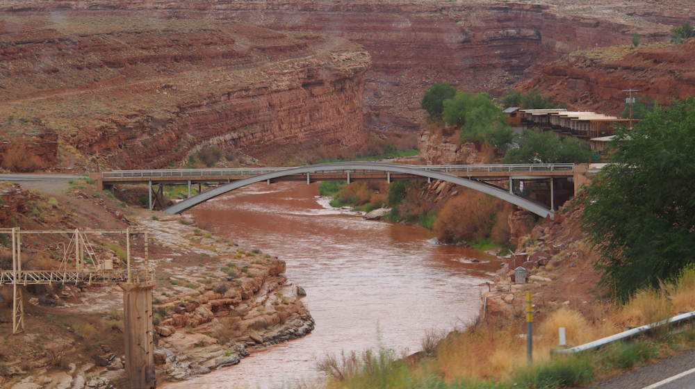
The highway had to cross the
San Juan river and required a substantial bridge.
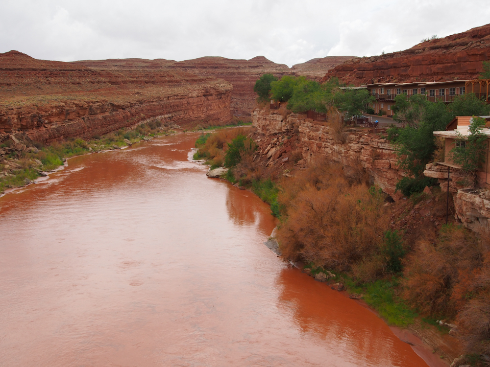
The San Juan river is the
largest watercourse in the area and it has cut deep canyons into
the multicolored sandstone.
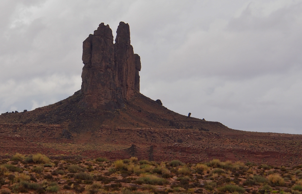
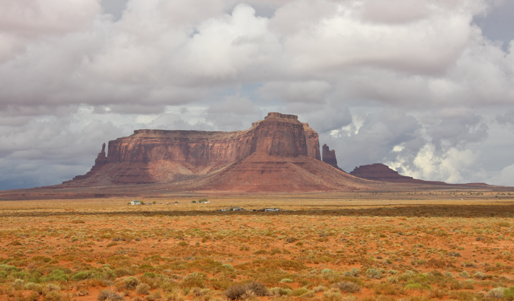
In the Monument Valley area,
most of the structures are sandstone. But, there were
several that were volcanic plugs.
Back-lit by the afternoon
sun, the northern approach to Monument Valley was impressive.
Note the thin monuments in
the far ridge.
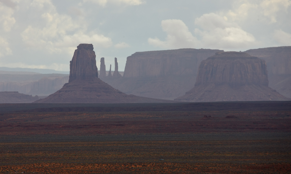
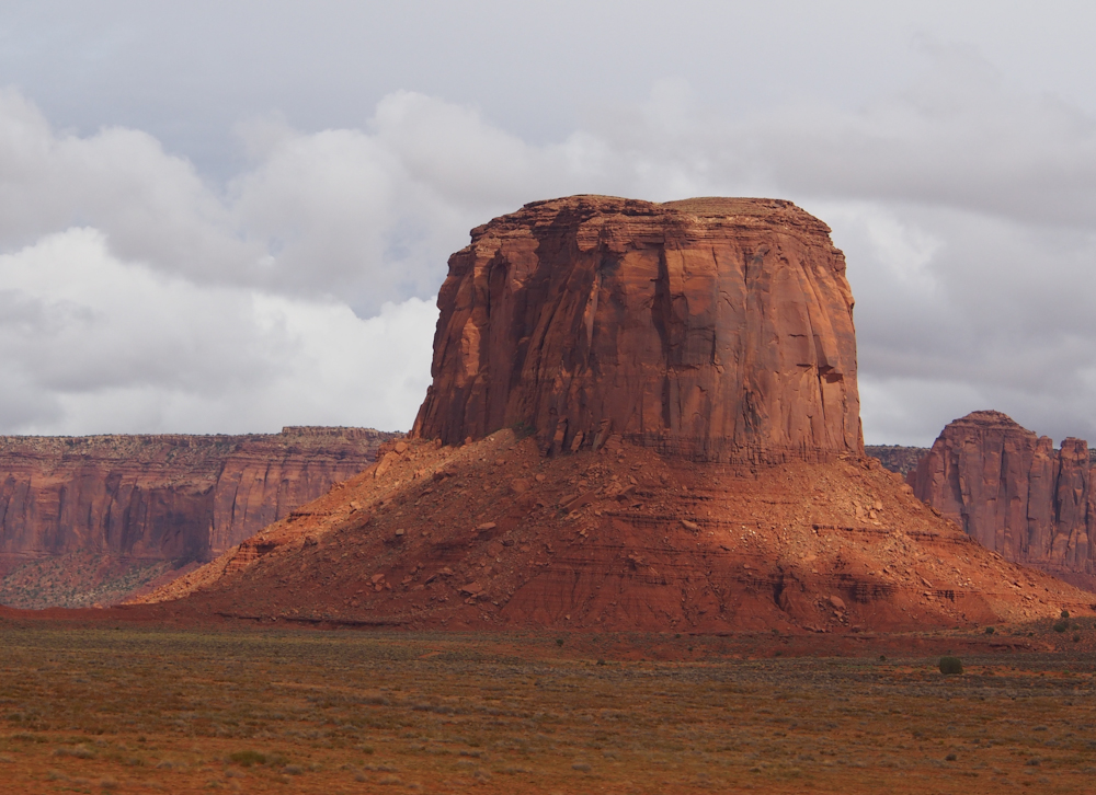
Each of the larger monuments
was flanked by smaller ones that had been spawned by cracks in
the rock followed by weathering.
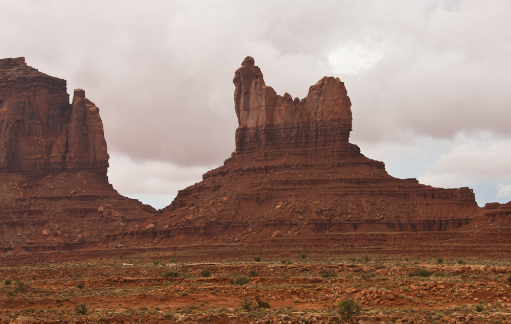
The monuments came in all
sizes and shapes.
The harder cap rock
underlayed by softer strata produce this type of structure.
Getting to the sun side of
the valley produced truer colors in our photographs.
We stopped at Goulding's
Trading post for a bio-break and got a nice panorama of the
valley.
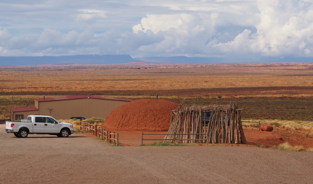
Next to the trading post was
a demonstration hogan. A hogan is the native word for an
earthen dwelling made out of local clay-based mud and
wood. A dwelling is a requirement for this area; at 6,000
feet it gets PLENTY cold in the winter and the flat areas
support high winds too.
A large portion of the
reservation areas are "economically depressed". The wooden
structure in the foreground gives a hint as to the conditions
here.
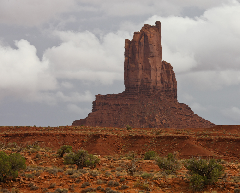
Even the minor monuments
were a pleasure to see.
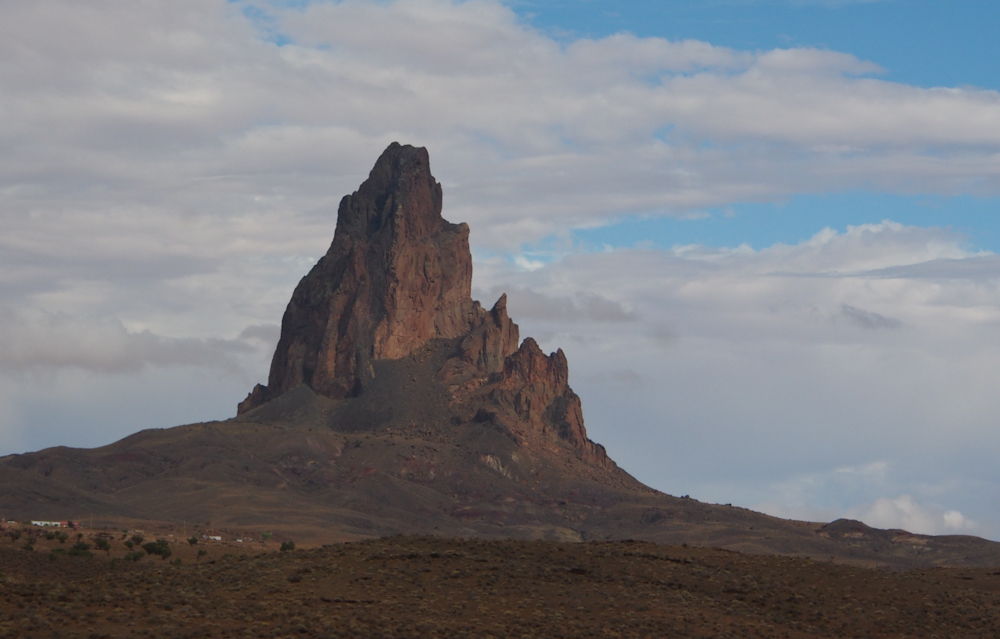
Further south, just north of
Kayenta, we came upon this large volcanic plug visible from the
road.
On the opposite side of the
road was a "normal" sandstone hoodoo.
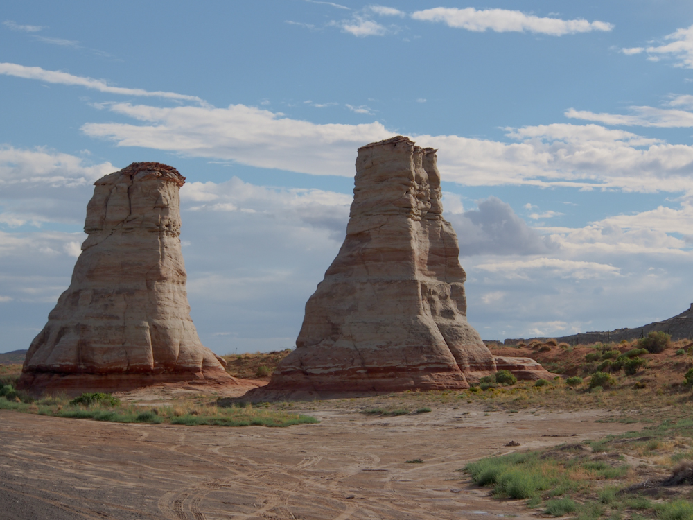
South of Kayenta and almost
to Tuba City, we came upon this pair of hoodoos created out of
white sandstone.
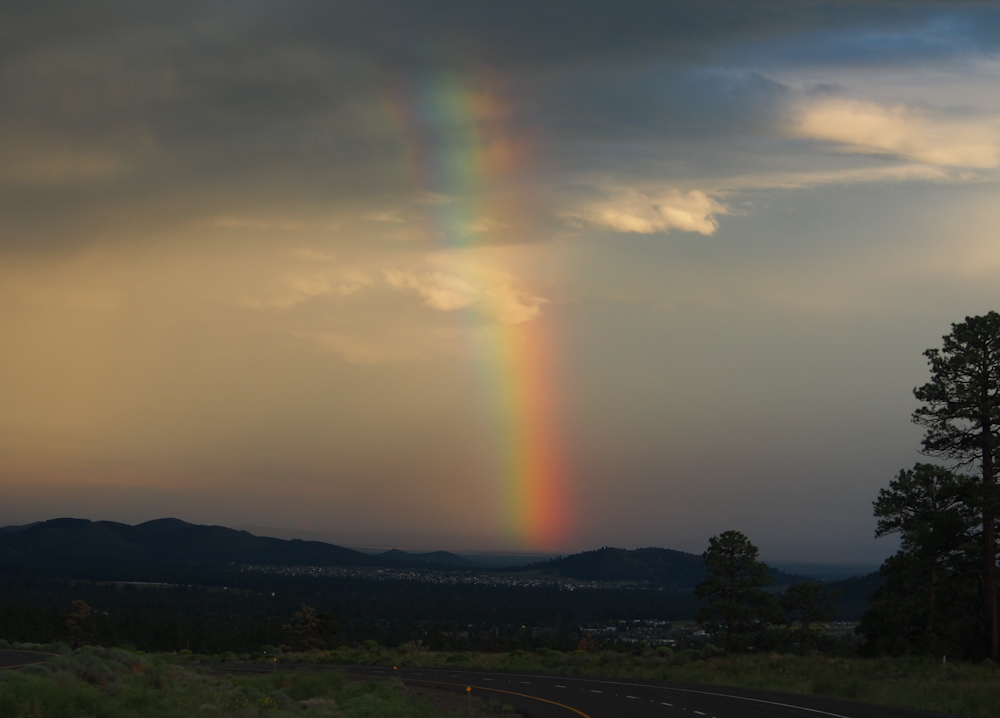
The rain continued off and
on all afternoon. Our route took us to US-89 and then
south into Flagstaff, AZ. Crossing the pass on the eastern
flanks of the San Francisco Peaks, we got a nice view of a
rainbow.
| Previous Adventure | ||
Photos and Text
Copyright Bill Caid 2012, all rights reserved.
For your enjoyment only, not for commercial use.