We
left Hot Springs and traveled north to see Mount Rushmore and from
there, to the east to the Badlands.
The photos below are what we saw.
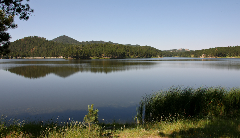
From
Wind Cave, we traveled to Custer State Park and found a site near a
lake. We had a good, quiet night despite the large number of
folks in the campground. Next morning, we rolled out to do the
so-called "Wildlife Loop Road" and then on to Mt. Rushmore.
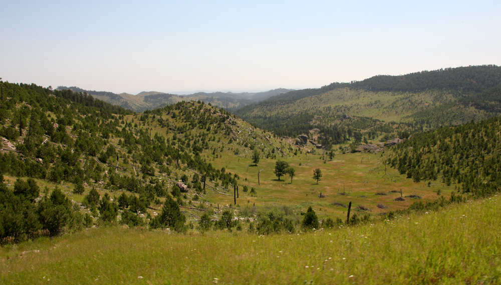
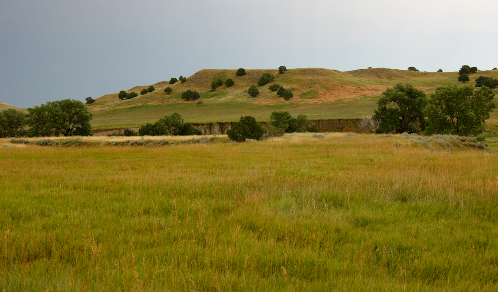
The
loop road had nice views of the surrounding Black Hills. This
area frequently has natural, lightning-caused fires and the impact can
be seen in the photo above.
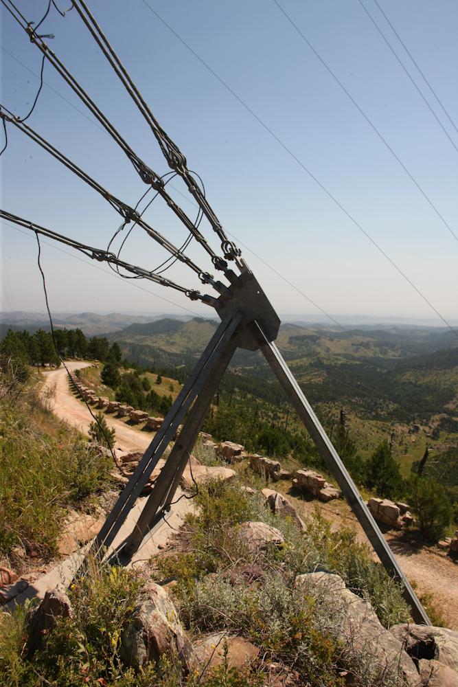
We
passed a road that led to a set of radio towers and a lookout at the
top of the mountain, so we took it. The radio towers provided the
cell service for the area and due to the high winds, the support guy
wires were extensive.
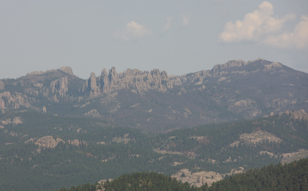
The
peak provided a nice view of the Pinnacle area of the Black Hills.
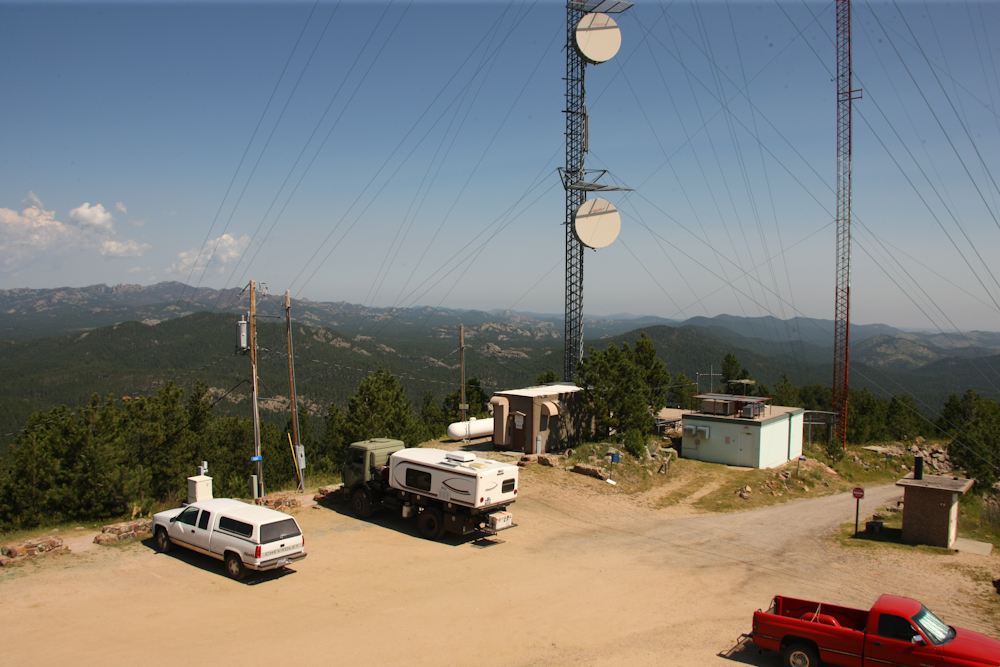
From
the lookout structure, a portion of the infrastructure was
visible. Mt. Rushmore is just to the left of the center tower.
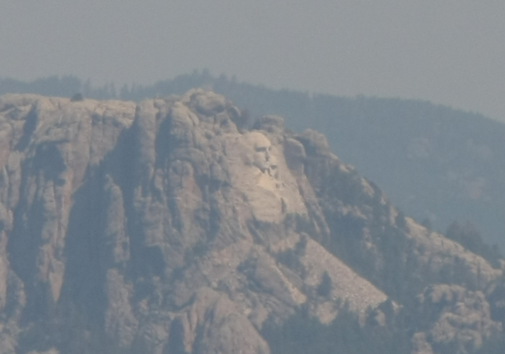
A
crop-of-a-zoom provide the view above. Rushmore is an imposing
structure.
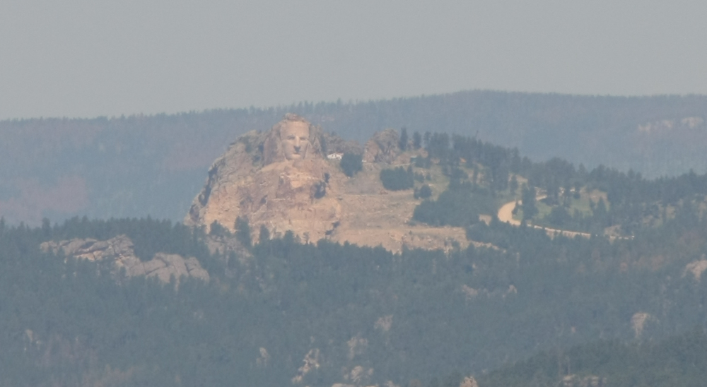
More
to the west, we also had a view of the Chief Crazy Horse carving.
This is still a work in progress.
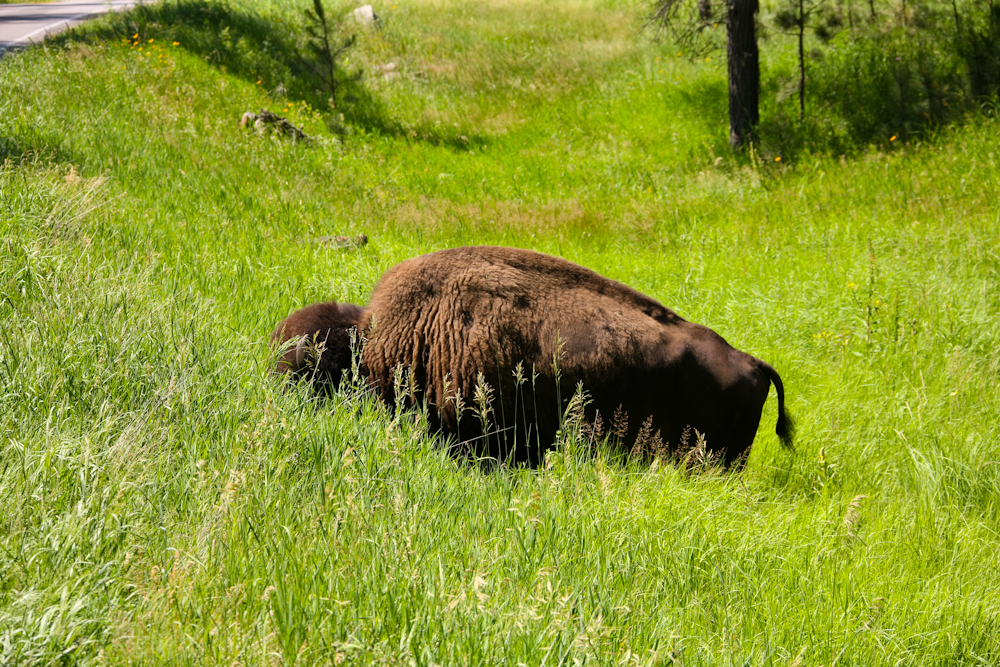
Back
on the Wildlife Loop road, we spotted this buffalo next to the
road. He did not care a whit about the passing cars.
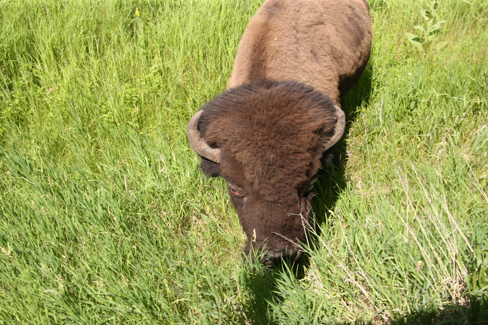
He
did lift his head to check out the noise of the 1017's diesel engine.
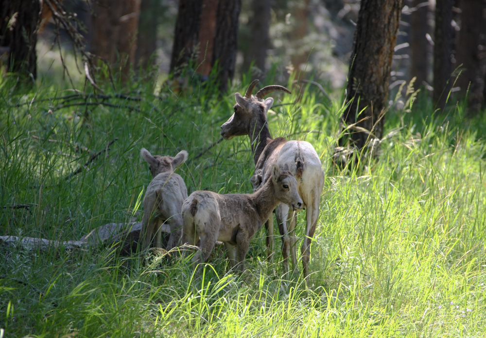
Further
down the road, we spotted these mountain goats. I did not know
that goats could have multiple offspring at once, but that is clearly
the case here.
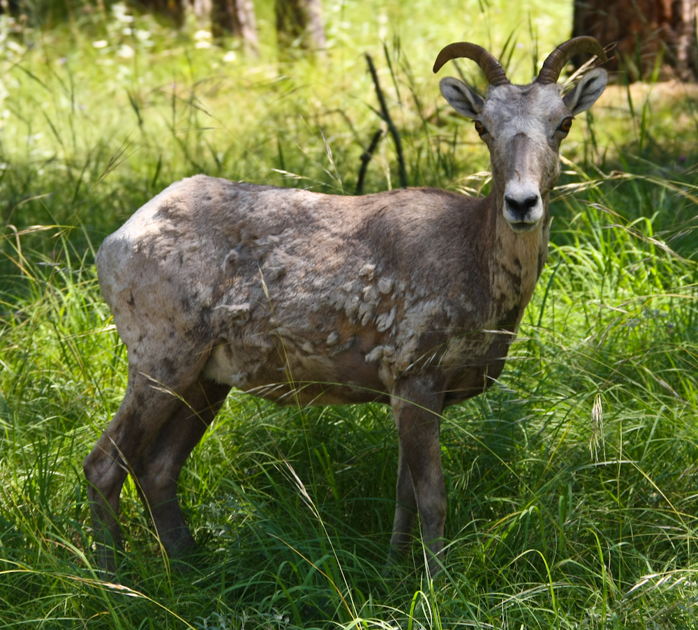
Another
goat close to the road.
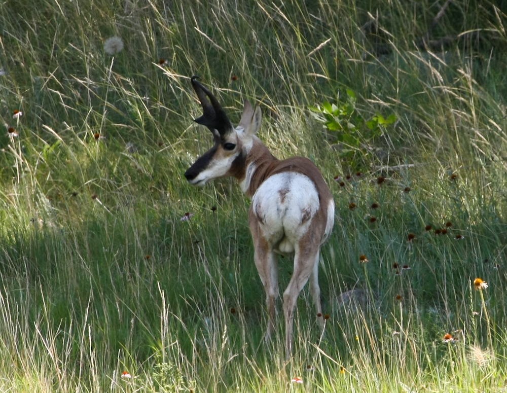
Further,
we spotted this Pronghorn antelope. Clearly a male.
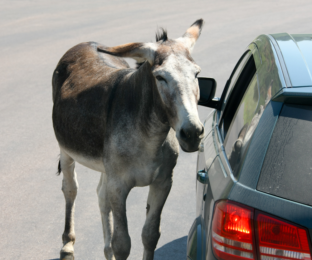
This
mule caused us to laugh out loud. He worked the line of cars like
a Tijuana street vendor, moving from car to car seeking
hand-outs. He stuck his snout into each car and usually got what
he sought. His efforts with us earned him a few raw
almonds. Generally, it is not good form to feed wildlife, but
this fellow is far from wild. He worked with mechanical precision
earning, I am sure, chips, Cheetos and candy.
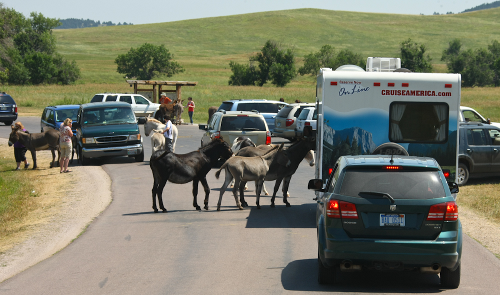
His
buddies were clearly trained at the same school. There were
plenty of these mules and they knew the drill and worked the crowd like
pros. The one just left of center is clearly pregnant.
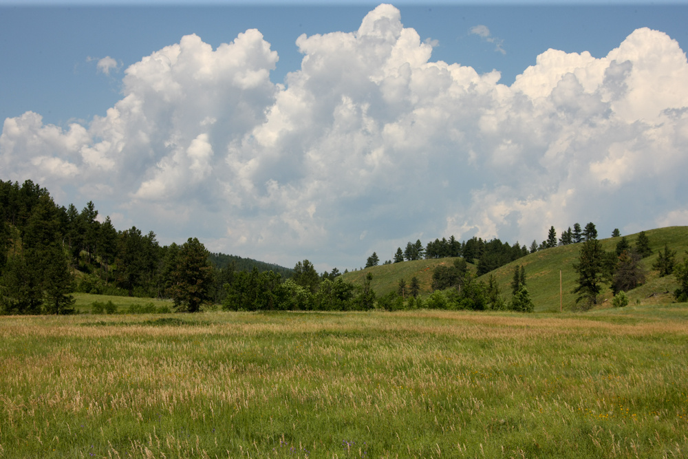
The
loop road passed nice meadows with great views of the massing
clouds. Later in the day, we would get a strong thunderstorm that
knocked down power lines.
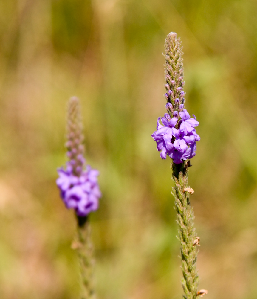
There
were nice stands of flowers in the meadows.
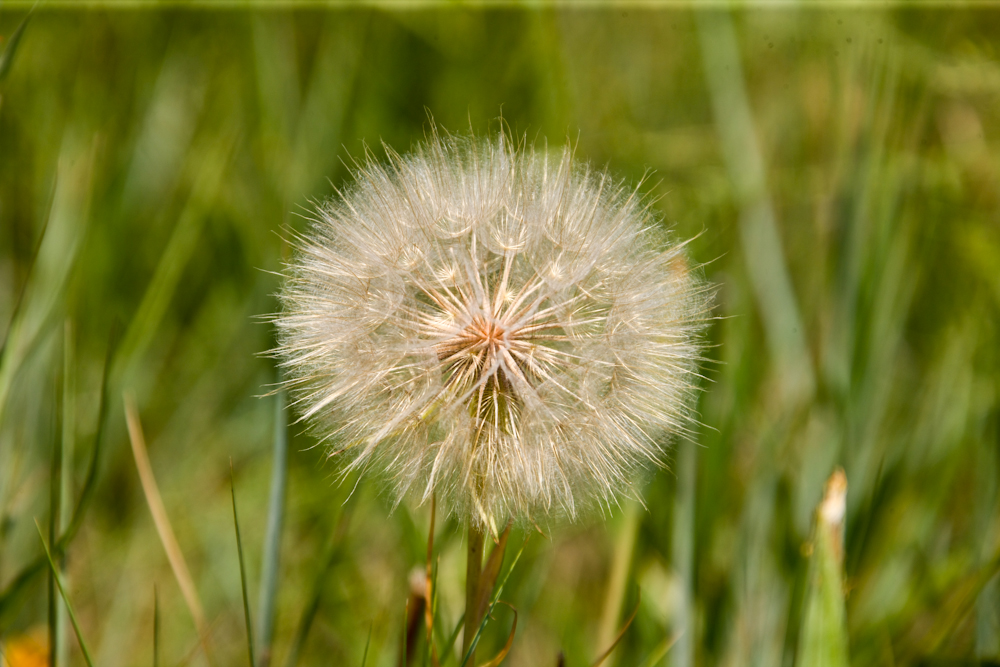
This
was a very large dandelion, perhaps 3 inches in diameter.
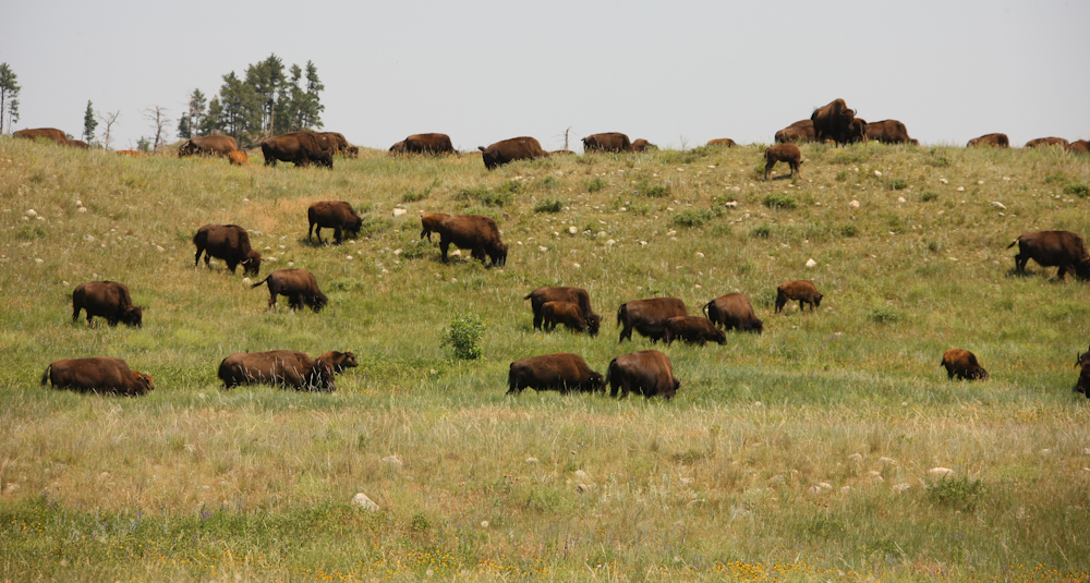
Further
on, we passed a reasonable herd of buffalo.
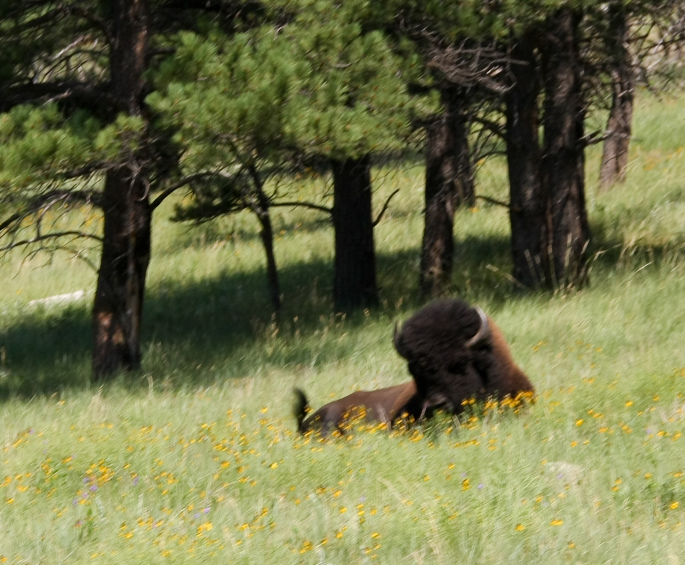
This
large bull had no interest in the herd and was off in a field by
himself.
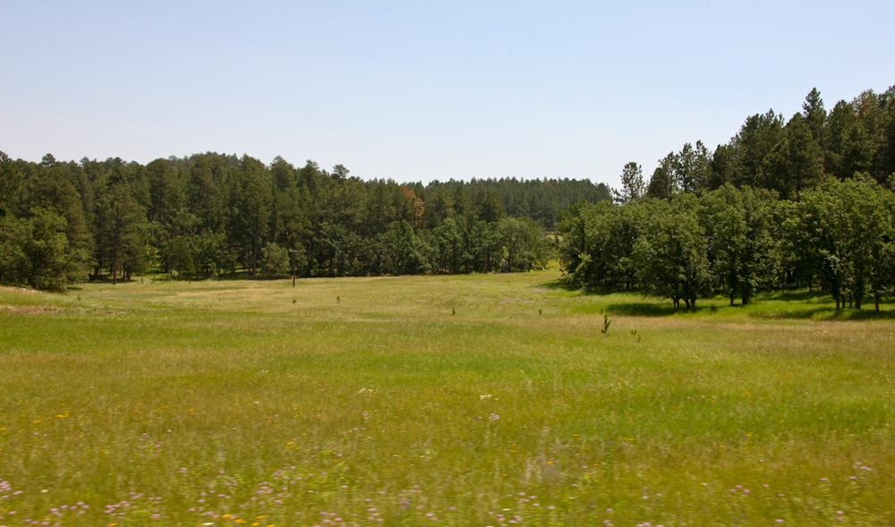
The
meadows had nice flowers and were thick in deep grass.
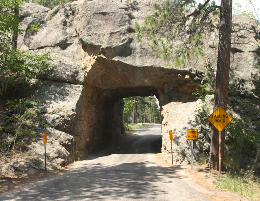
The
road to Rushmore from the south was steep, twisty and passed through a
number of small, one-lane tunnels. We fit, but were scraping our
2M antenna on the roof.
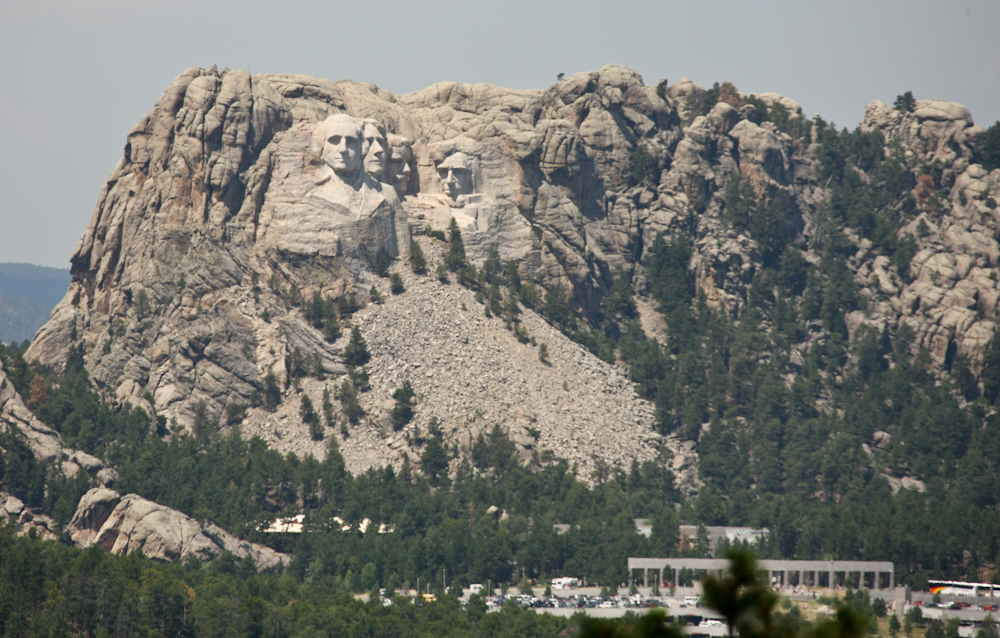
The
high point on the south road provided another view of the monument and
the tourist facilities at the base of the mountain. To our
dismay, we discovered that the base area, while "administered" my the
National Park Service is not really NPS. They charged for parking
and our annual pass got us nothing. You can get in the monument
for free, but they charge for parking. And, there is no other parking.
The claim was that the parking was run by a private concern. I
think this is yet another scam to hoodwink the taxpayer -- charge for
an access card and then charge again claiming that the pass is not
valid. And this is, of course, above and beyond the stream of
tax-supported funds that are pointed at the NPS. Spend without
bound and then ask for more. No wonder the government is broke.
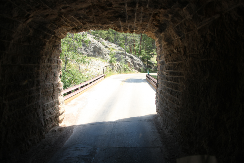
Another
narrow tunnel followed by a spiral switchback. The exit of the
tunnel is a bridge and the road turns to the right and goes under the
bridge.
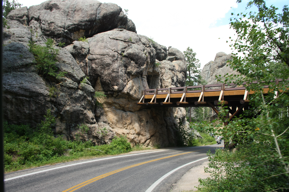
Another
view of the spiral switchback.
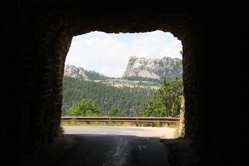
The
exit of this tunnel provided a view of the monument.
The
weather turned sour while we were there. It rained on us, then
hailed. But, soon the clouds cleared enough to get reasonable
lighting. The planning and construction of the monument took
about 17 years and the primary sculptor, Lincoln Borglum, died very
near the completion.
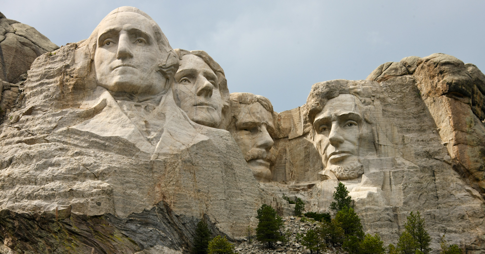
An
impressive work.
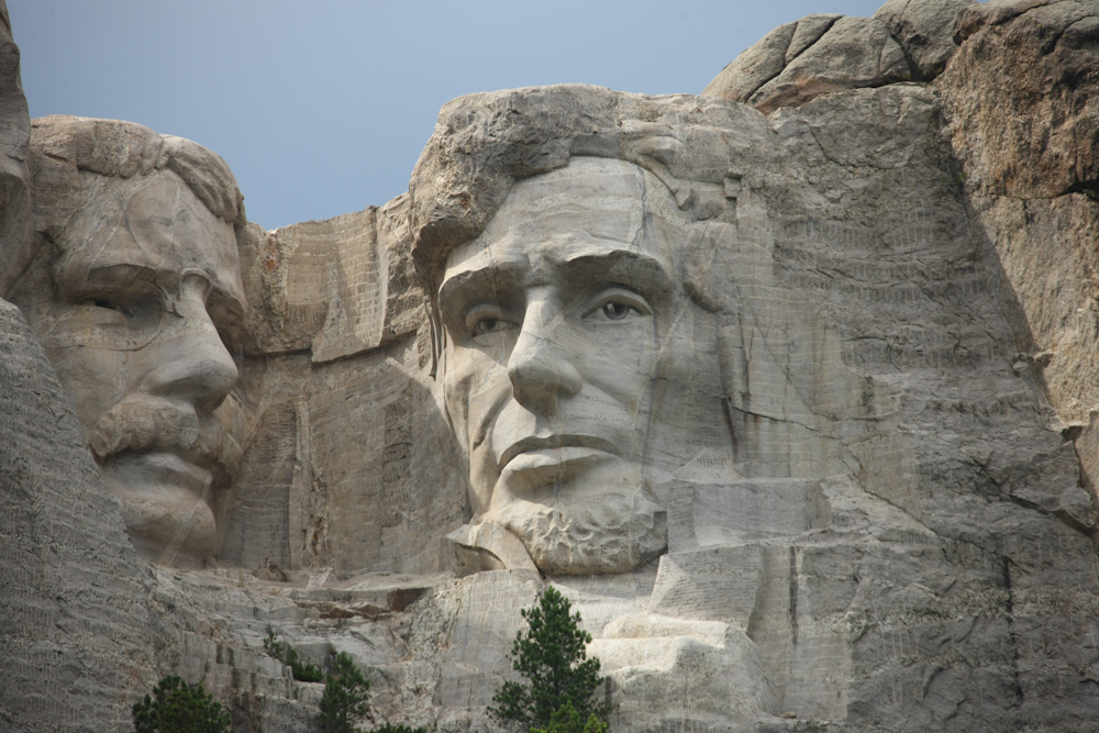
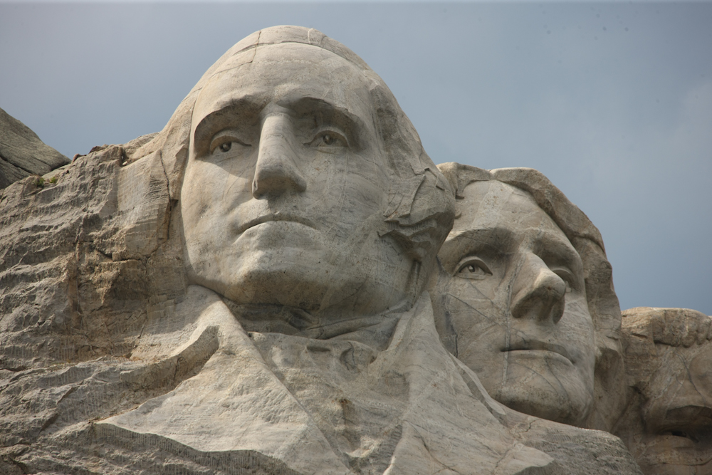
A
very detailed depiction of the presidents.
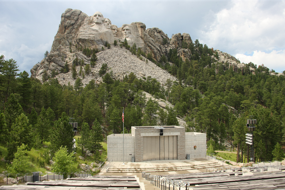
NPS
has built a large amphitheater to provide shows about the monument.
We
left Rushmore and headed east. We passed this fellow on the way
to Hermosa, SD. This does not look like he had fun.
We
had a large thunderstorm while fueling in Hermosa. The high winds
blew down power lines and blocked our access on the road east. We
bypassed the downed lines and headed east. After about 10 miles,
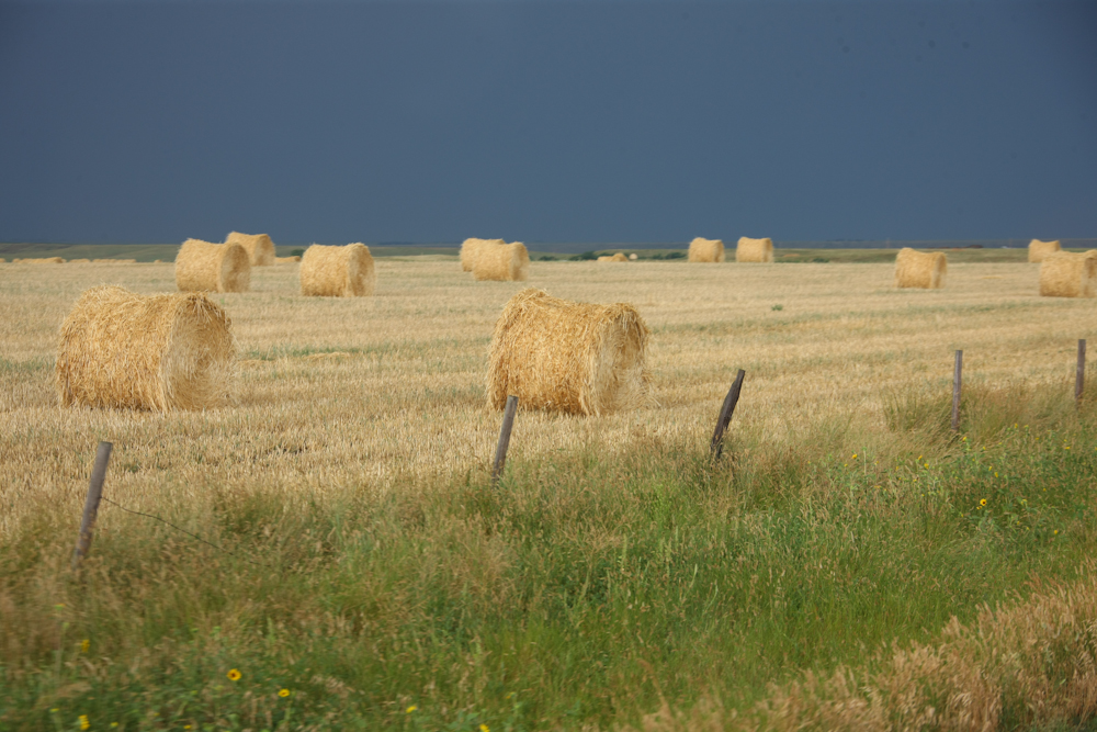
we turned northeast and hit the dirt on a county road. On our way
to the Badlands, we passed massive hay operations. The storm that
had hit the area was in front of us and we were chasing it east.
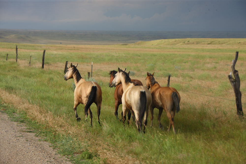
We
passed a section of road with a hand painted sign that said "Danger,
horses on roadway". Why they were on the roadway I am not sure,
but we did encounter them. They were quite skittish and bolted as
we came close.
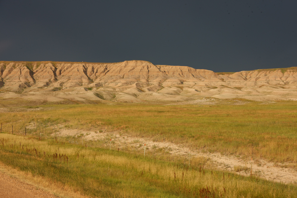
Further
east, we encountered our view of the badlands.
The
rear lighting and the dark horizon accented the badlands area.
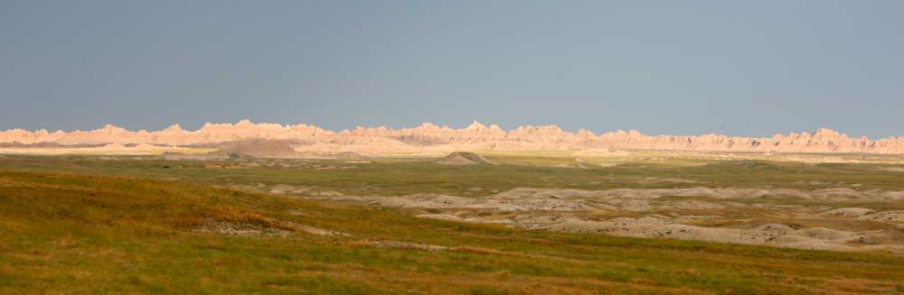
We
passed a sign for the Sage Creek camp area and we took the road.
Given that it is a national park area, we had to camp in organized
areas. Since it was late in the day, we took the first camp area
that we passed. Above is a view from the door of the camper
toward the hills.
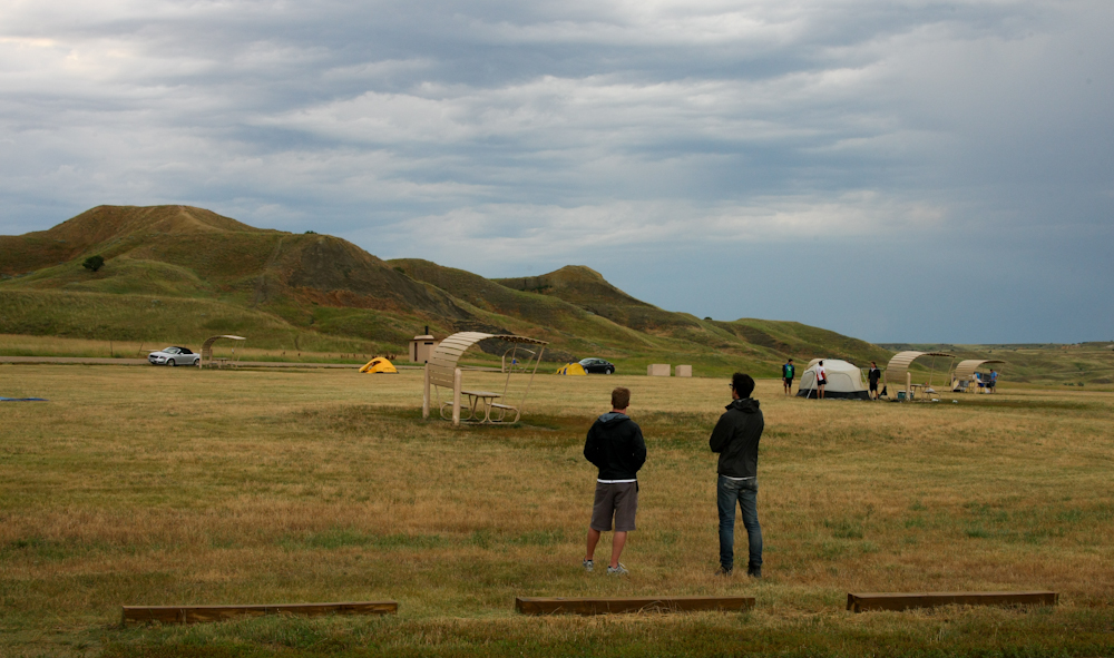
Sage
Creek is a bare-bones camp. There are pit toilets, but no
services, no water. But, oddly, despite our seemingly remote
location, there was cell service. Our cell phone modem gives us
internet connections when we have service, thus this update.
Above, fellow campers ponder life.
Mt. Rushmore is
impressive. Pay parking notwithstanding, it is worth a
visit. Keystone, the nearest city, is a true tourist trap, but
other than that a nice place. Later today, we will visit the
badlands.
| Previous Adventure | ||
| Trip Home Page |
Photos and Text Copyright Bill Caid 2011, all rights
reserved.
For your enjoyment only, not for commercial use.