We spent the night in
Philipsburg, MT at a small RV park. The place was clean and quiet
and that was the best that we could hope for. The next morning we
checked out the 2 blocks of Philipsburg's main street and then did a
grocery stop. From there, we headed south, then back onto the
dirt. The final destination was for this segment was Riggins,
ID.
The photos below are what we saw.
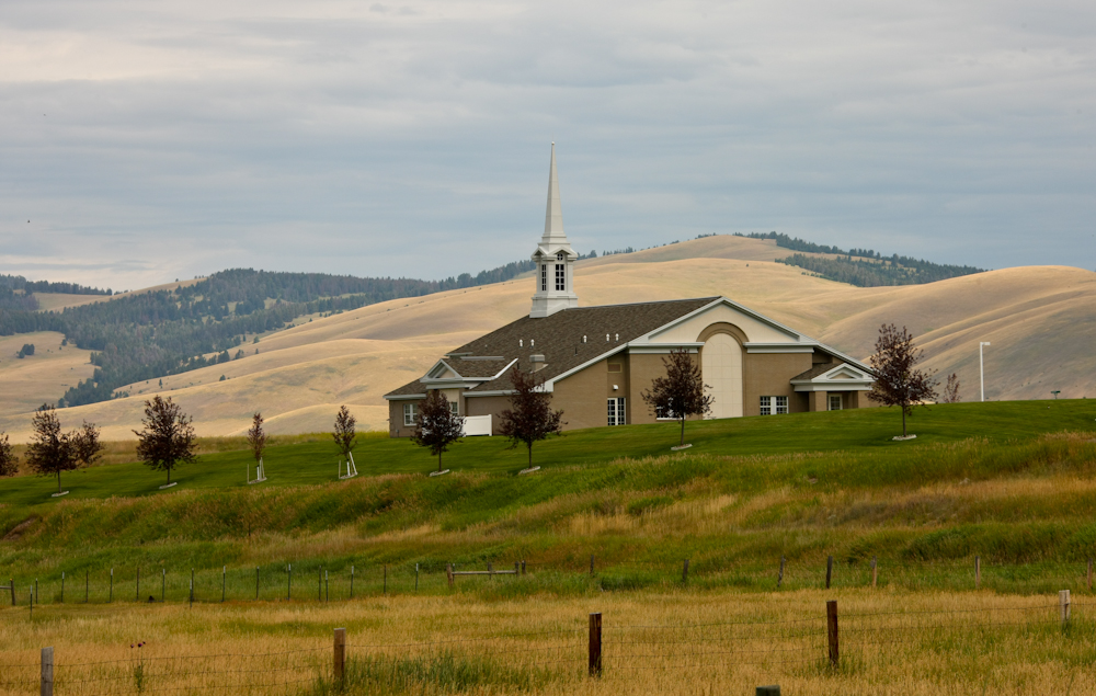
The main church in Philipsburg was
visible from our camp site.
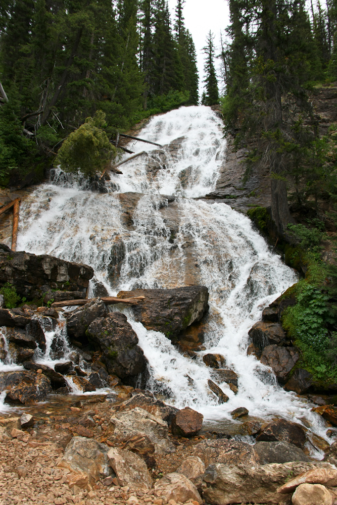
After a supply stop at the local
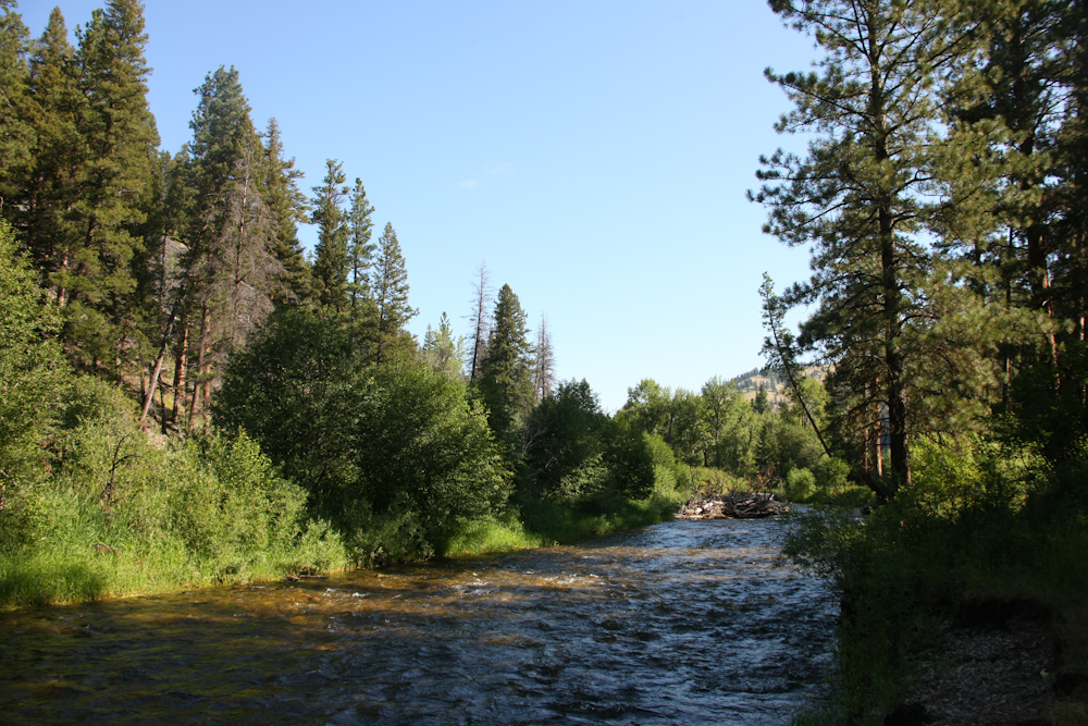
store we headed back into the mountains on the dirt. We came upon
this nice waterfall next to the road.
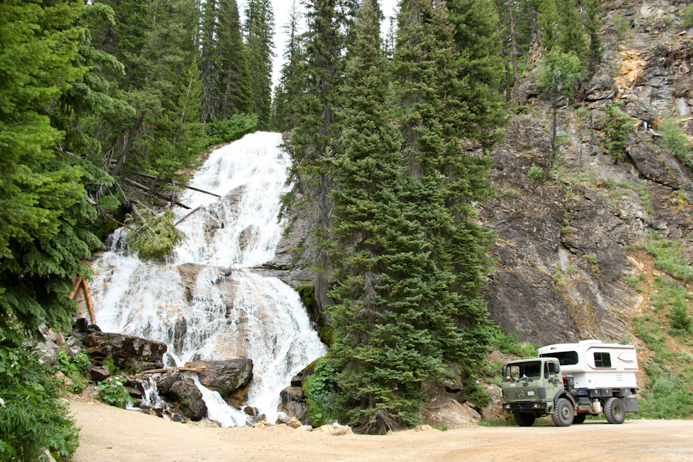
The size of the waterfall becomes
more apparent when the 1017 is in the picture. The place was
nice, so we raised the top and did a lunch stop. We also came
upon a young fellow in an older Suburu that was having cooling
problems. He claimed to have a handle on the issue, we we stopped
to assist him several times and ended up escorting him to his final
destination near Darby, MT.
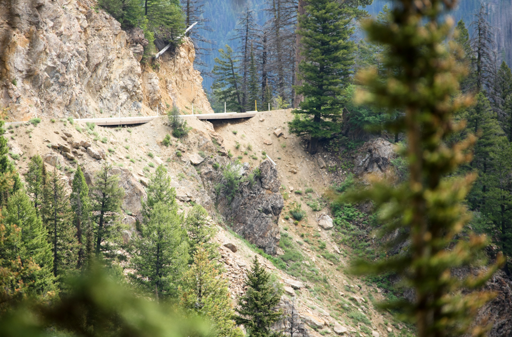
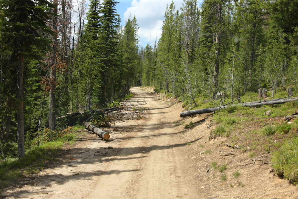
Just by chance, I looked back up
the road from our position and noticed the condition of the road.
The road so far was very steep and narrow and the sight of big voids
under the trail was not comforting.
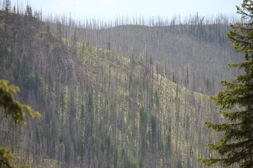
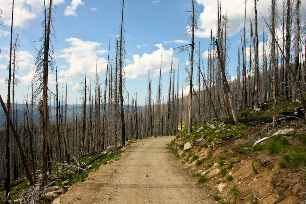
On the opposite ridge we could see
the damage from a recent fire. This would be a recurring theme on
this segment of our trip.
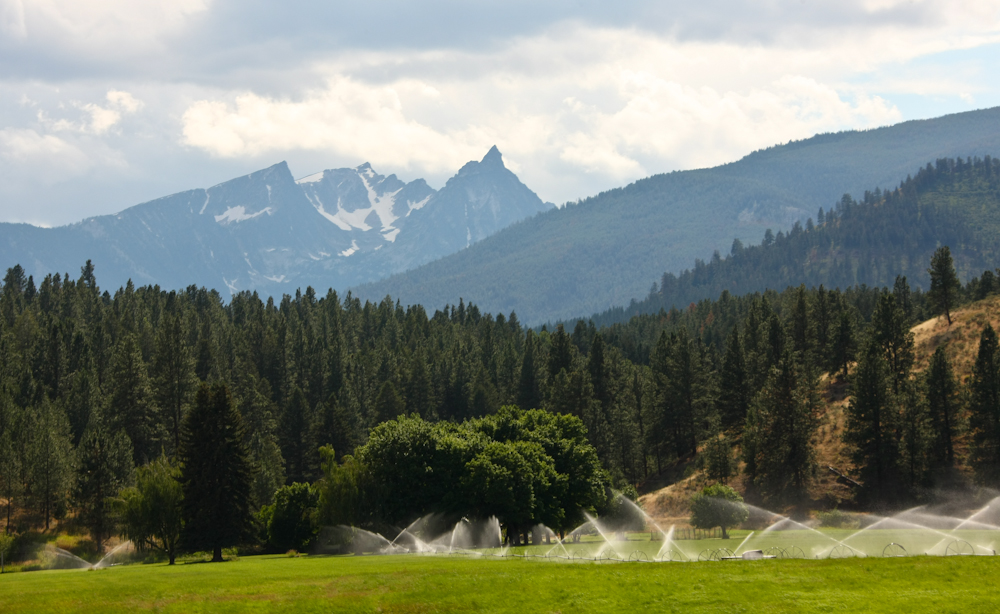
We hit the blacktop again and
continued south past Trapper Peak in the Bitterroot range.
Trapper Peak is the highest peak in the photo above. Trapper is a
bit over 10,000 feet and is one of the tallest peaks in the Bitterroots.
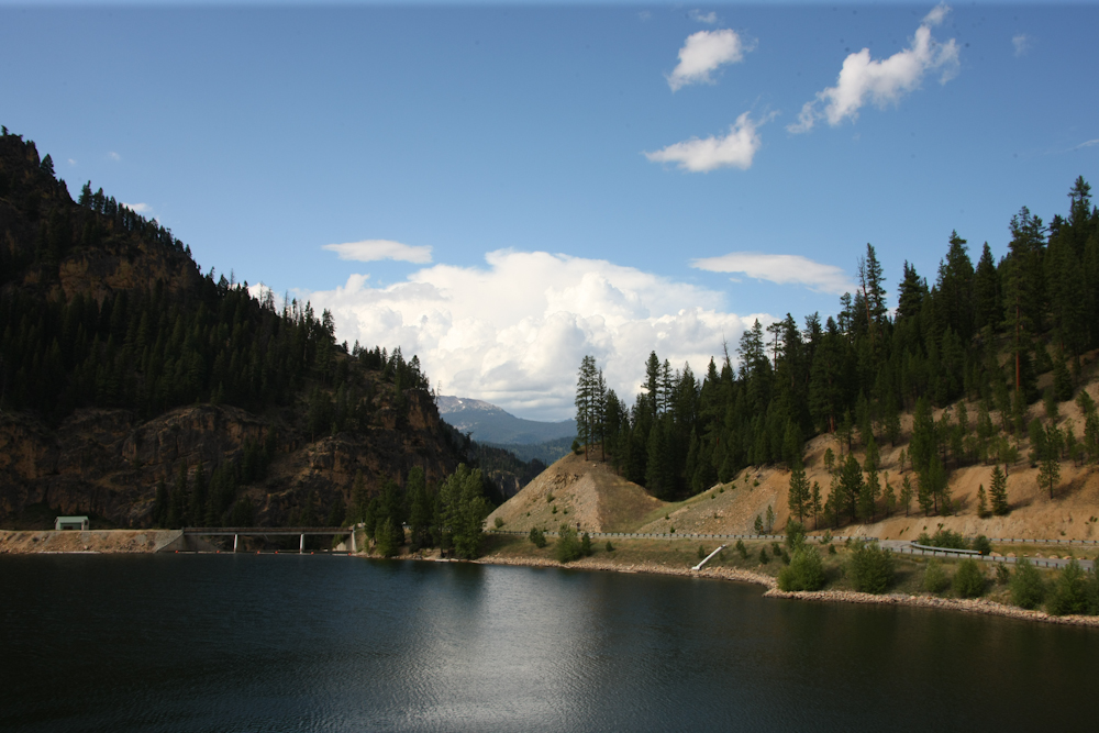
Since it was getting late in the
day, we started searching for a camp site. We headed south toward
Alta, MT and passed a significant reservoir on a small creek.
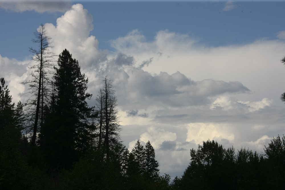
As we pulled into our camp, the
thunderheads were building to the north.
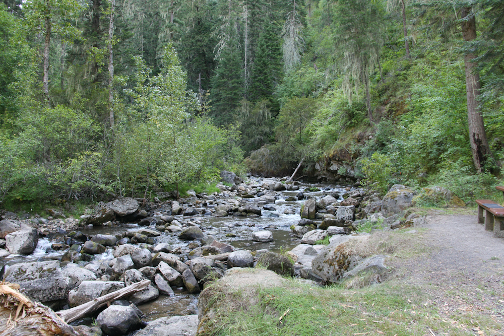
We stayed at a Forest Service
campsite in Alta. Our site was right next to the river. The sound
of the water on the rocks was very soothing.
Next morning, we headed to the
west on forest road 468 AKA Nez Perce Road. I chose that route
because it appeared to cross most of the northern portion of the state
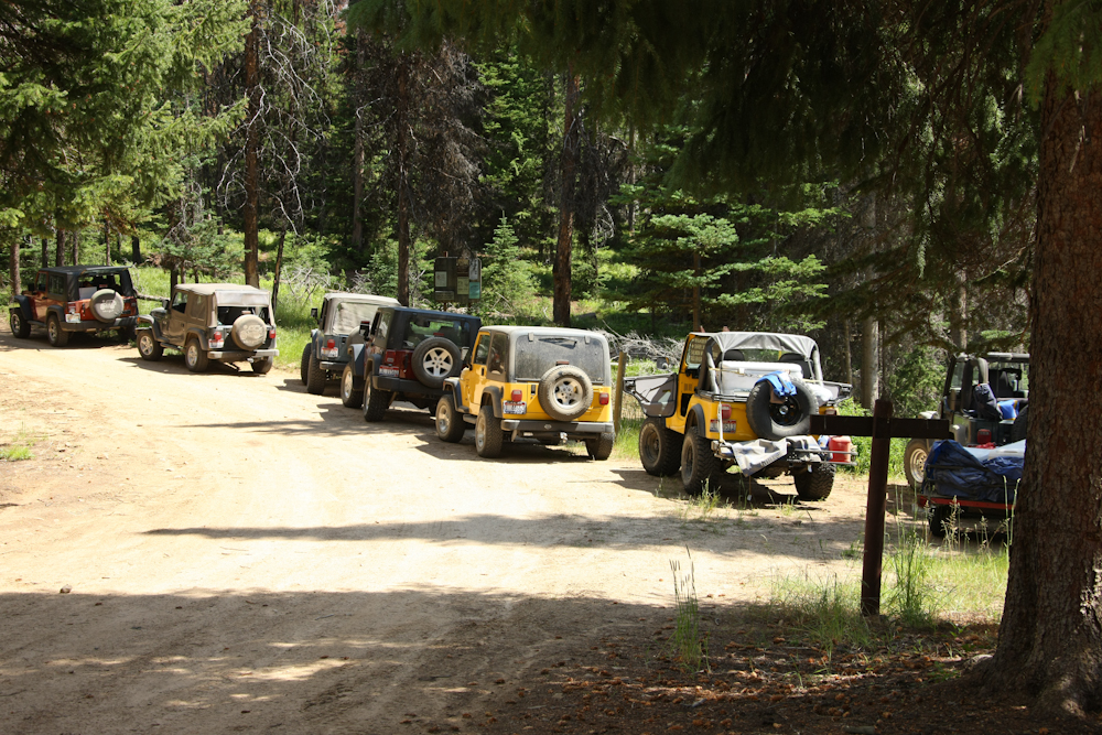
as a dirt trail. It seems that the local Jeep club chose the road
for the same reason. We passed them oncoming while we were
stopped for lunch. That was good because the road was one lane
only and the opportunities for getting past oncoming traffic were few
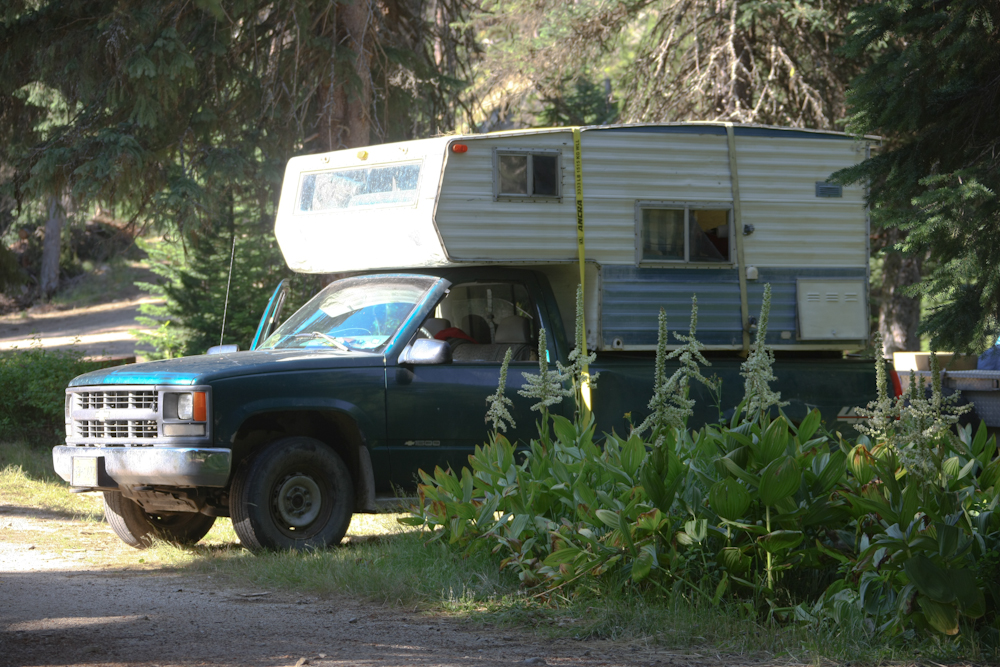
and far between. The jeepers were in awe of the 1017 and they all
had to come over and take photos. I was less in awe of their
jeeps and this was the only photo I took of them.
After we broke camp after lunch,
we continued up the mountain into the face of building thunderclouds.
We hit a small turnout where there
was a monument to a historical event.
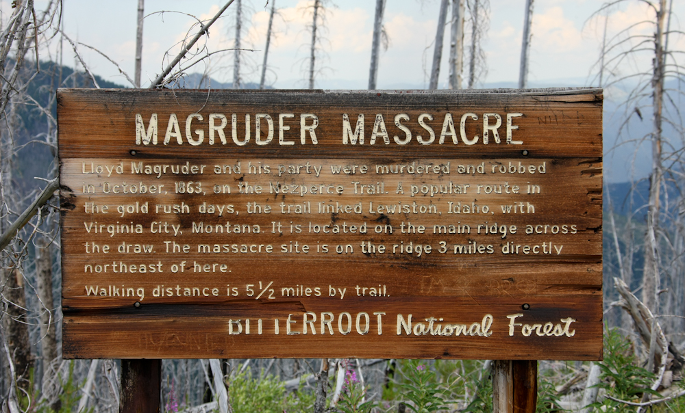
The story is not pleasant and we
did not take the trail to see the spot where blood was shed.
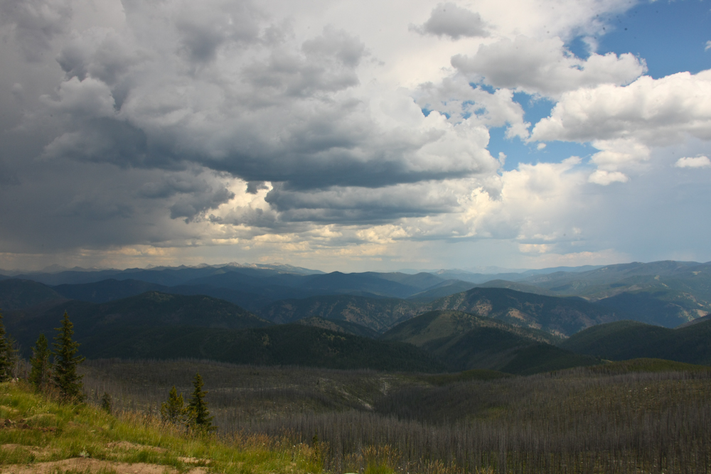
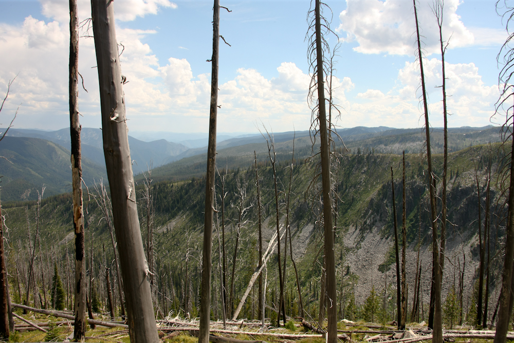
Further up the trail we hit an
overlook with a clear view to the east. The main portion of the
Bitterroot range is to our east. The start of this portion of the
trail was beyond the far peaks on the skyline in the photo above.
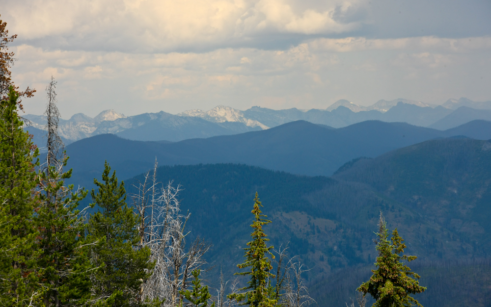
Some of the peaks in the distance
are over 10,000 feet, Trapper Peak being one of them, though not
visible in the photo above.
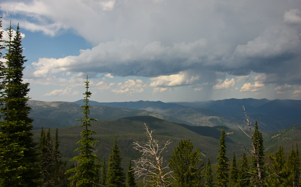
Rain was visible to the north.
The jeepers warned us of some
deadfall trees blocking the trail. The Forest Service did only
the minimum required to clear the trail. This spot was not an
issue, but we were sure that this was not the "tight squeeze" that was
described to us.
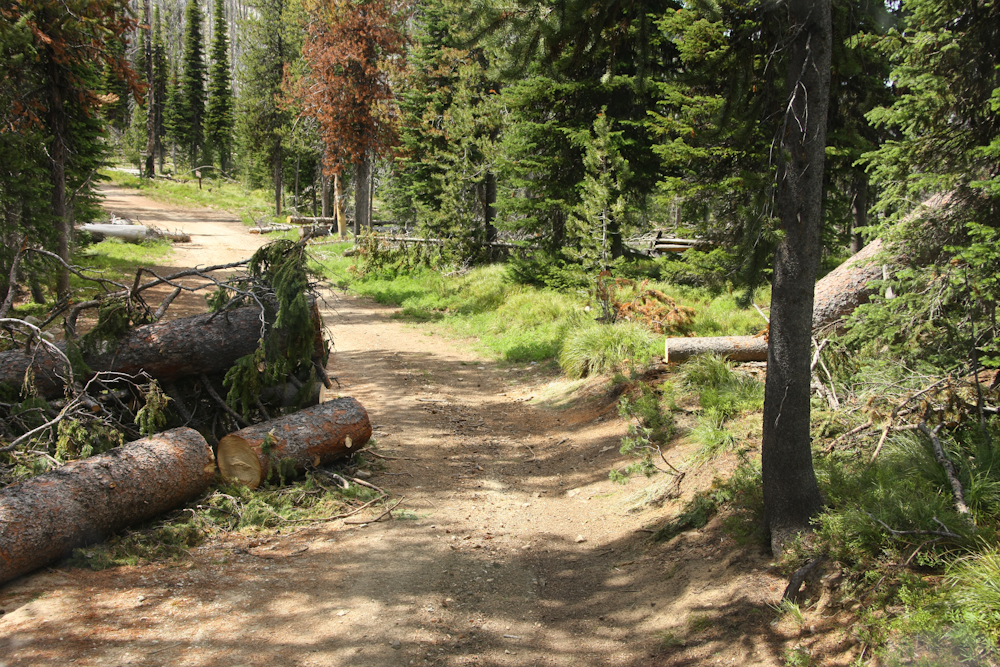
This was the worst spot, but we
passed with inches to spare on each side; we just had to drive
carefully. We passed a German couple early on the trail that
described this point with great angst. Our 1017 is much wider and
longer than their F250/camper combo so I was rather surprised by their
comments.
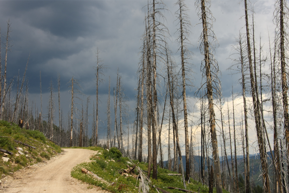
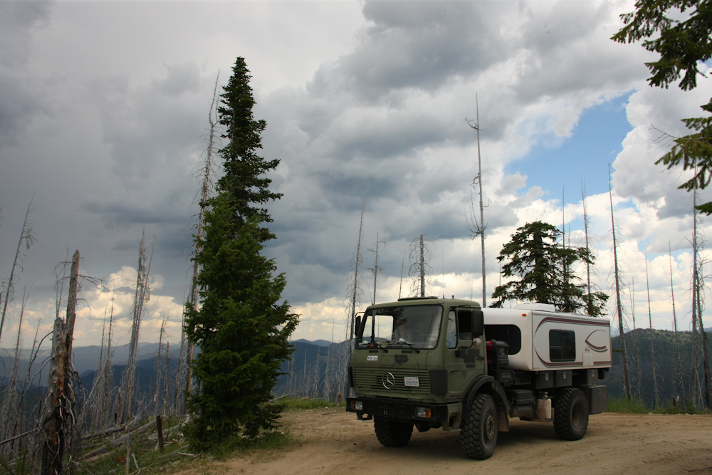
The high ridges were covered in
fire-scarred trees.
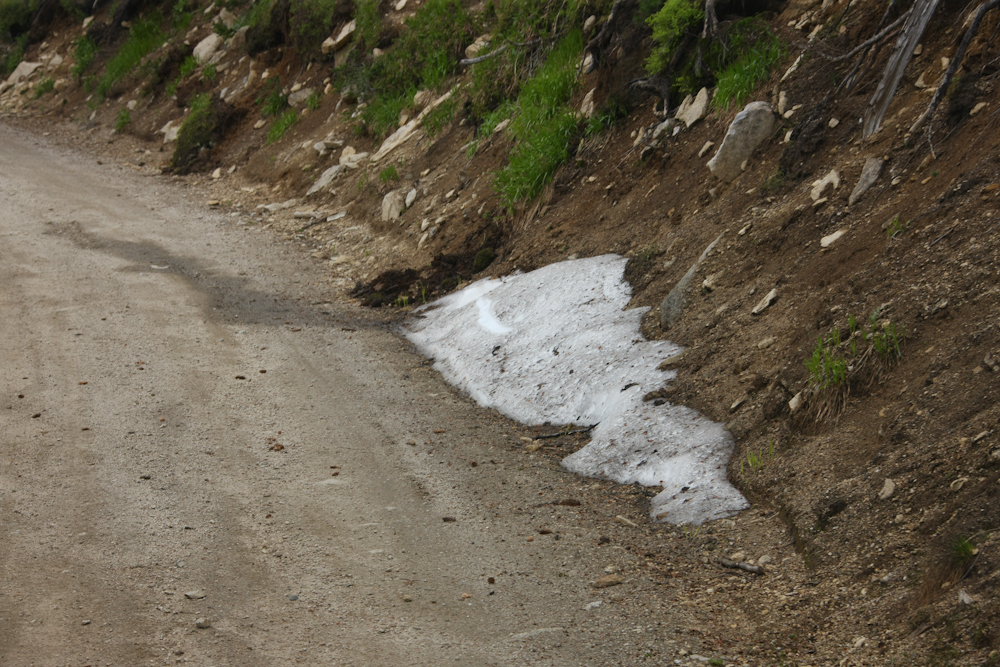
On the north side of the mountain
there was still snow in the shaded areas. The locals told us of
record snows in the preceding winter. A number of the high peaks
that were visible from the trail still had snow as well.
As we came down off the peak, the
scope of the recent burn was obvious.
After a full day's travel, we
ended up at Poet Creek. We had identified the camp early in the
day as being about the "right distance" and we pleased to find that
there was only one other vehicle there. Jed beat us by several
hours. At first, I thought that the large ratchet straps were to
provide additional security to the camper on rough roads. But, on
closer inspection, I realized that they were the ONLY things holding
the camper in place. Jed was on his way to Alaska and was alone save a
trailer piled high with his junk and a dog.
We had a pleasant night and even
had a camp fire -- the first of this trip due to the high fire
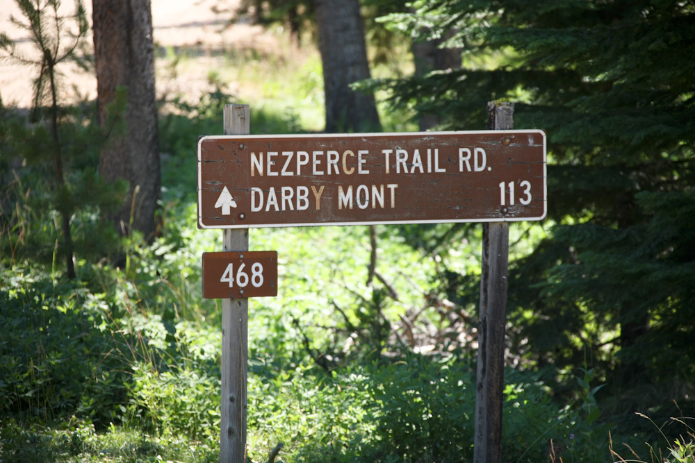
dange. Next morning, we continued toward Red River Hot
Spring. At the hot springs turnoff, we spotted this sign.
We had done 113 miles of dirt and were still many miles from the
asphalt. We had been out on the trail for some days, so we paid
to take a dip at the hot springs. We stayed for several hours and
got clean. From there, we headed into Elk City, ID. There
must have been elk because there surely was no city. Elk City has
a population of perhaps 250, one store, 3 bars and a "hotel" than
looked worse than some dormitories that I have stayed in. After
getting ice and some supplies at the general store, we headed west
toward Grangeville, ID.
We elected to stop before we hit
Grangeville and made camp at a road-side spot next to the confluence a
small side creek and the south fork of the Clearwater River. In
the photo above, Katheen looks at the DUST in the distance with
concern. We were in the camper having coffee and we heard a noise
that was loud, deep, percussive and extended. Not knowing what it
was, we went outside to investigate. There had been a rock fall
on the side of the steep cliff next to the camp. Quite scary, but
by the time that we got outside to look, only dust remained.
The walls of the canyon were very
steep with many exposed boulders. From the stream bed, only the
trees were visible; the cliffs were covered in vegetation.
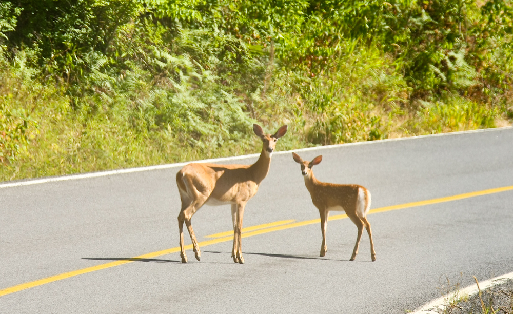
After the rock slide, we broke
camp and continued on to Grangeville, ID. Above, on the path into Grangeville, we spotted this doe
and fawn on the road. Note that the fawn still has "baby
spots". Grangeville was a pleasant
town and we did a full supply stop. Since we had been in the
boondocks for days, we needed to dump our tanks and we found that the
local sporting goods store had a dump. Since the store was on the
main drag in town and across from the grocery store, the 1017 quickly
became the talk of Grangeville. In fact, the local Sheriff
stopped by the truck when we were in the grocery store to ask us about
our trip over FR468. It seems that he was in the jeep group that
passed us on the trail.
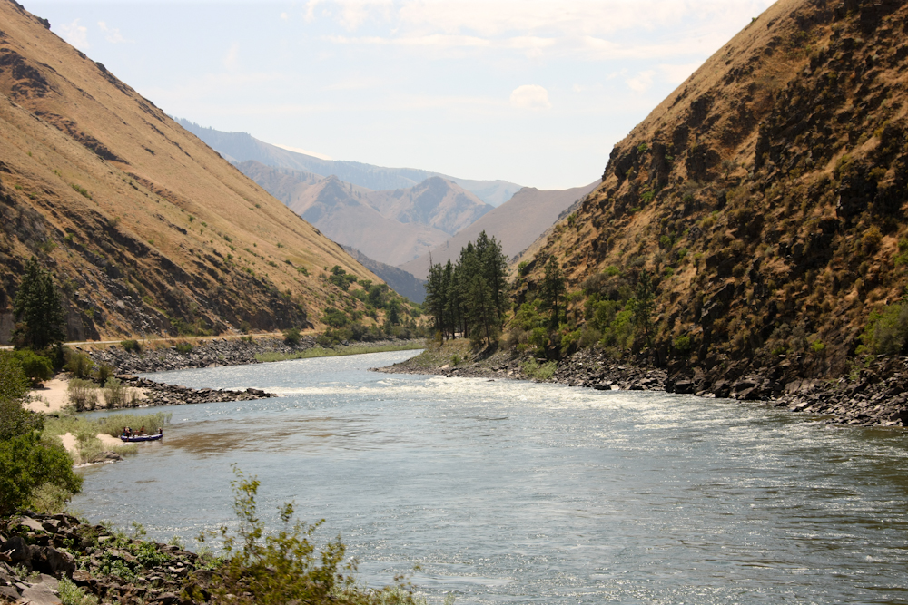
From Grangeville, we headed south
to Riggins, ID. North of Riggins, the road intersects the main
fork of the Salmon River. Above is a
shot looking to the south along the highway. Note the rafters at
the left center of the photo. We had been to
Riggins many years ago; it was the pull-out point for our week-long
river raft trip along the main fork of the Salmon river. That
trip crossed much of northern ID on the river and it gave us a unique
insight to the rugged terrain of this part of the state.
Oddly, Idaho state is in two time
zones. The north is on a different zone than the southern part of the
state. Go figure.
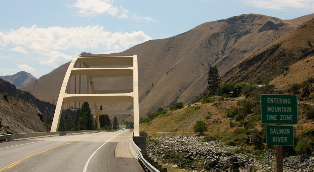
We fueled at Riggins and then
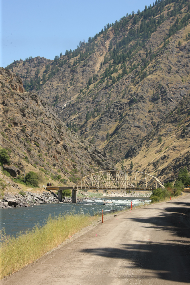
headed east on River Road that ran along the banks of the Salmon River.
There were only 2 bridges on the road that cross the river; this was
one of them. It was narrow and had weight restrictions but we
were compliant.
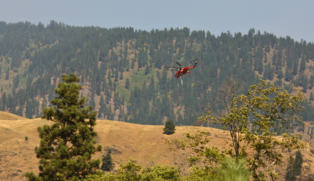
Near our intended camp for the
night, we spotted this sky crane helicopter with dangling
snorkel. He was headed to a nearby fire after filling his
on-board tank in the river via the snorkel.
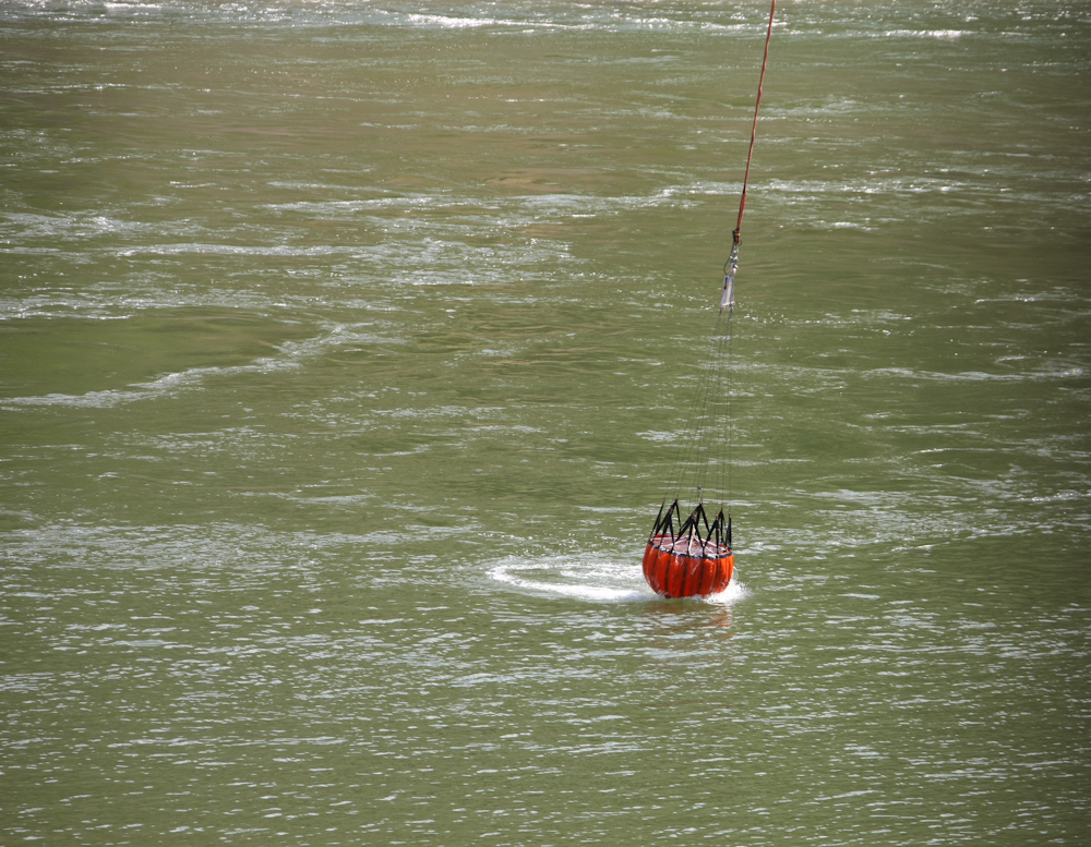
He was followed quickly by a more
conventional chopper with a water scoop bag.
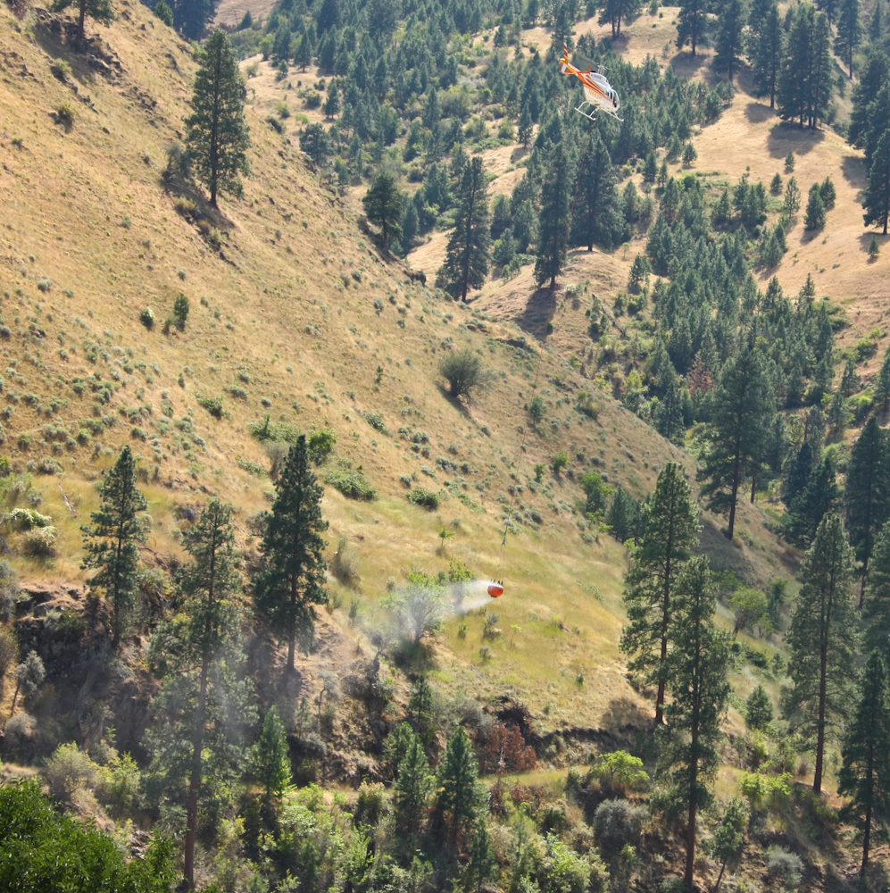
This chopper looked more like a
Bell Jet Ranger and once it had a full scoop, it headed back into the
mountains to the north of our position.
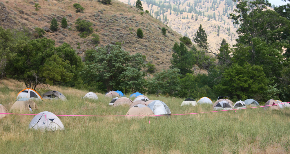
On the next turn in the road, we
passed the fire camp. There were perhaps 30 tents total in this
crew. Across the road was the field kitchen and comfort station
for the crew. Tomorrow, we would see the chaos that this setup
caused.
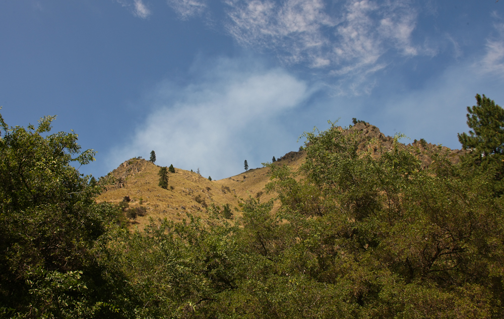
We made it to Spring Bar on the
north bank of the Salmon River. From our camp, the smoke from the
fire was visible over the steep ridge to the north.
The smoke from the fire to the north of us was
strong and annoying. Since we were at low altitude, it was hot
and we needed to sleep with the windows open. Next morning,
everything smelled like smoke. We reviewed the map of the area
and for several reasons decided to bail on our earlier decision to take
the only trail out of the canyon to the south. That trail would
take at least 3 days and would cross most of the Salmon River
wilderness. But, the start of the trail was very steep with tight
switchbacks. Instead, we headed west back to Riggins and then
south.
| Previous Adventure | ||
| Trip Home Page |
Photos and Text
Copyright Bill Caid 2011, all rights reserved.
For your enjoyment only, not for commercial use.