We had a great night at
the hotel and we all slept good being out of the rain and wind.
After breakfast in the hotel restaurant, we packed and headed out on
the beach with the trucks. Destination for the day: Punta Canoas
to hook up with another San Diego unimog owner, Richard. Along
the way, we would see some very interesting scenery.
The photos below are what we saw.
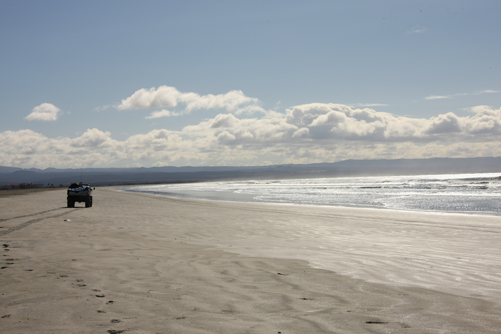
We passed around the
hotel and right out onto the beach. From there, we headed east,
then south along the coast.
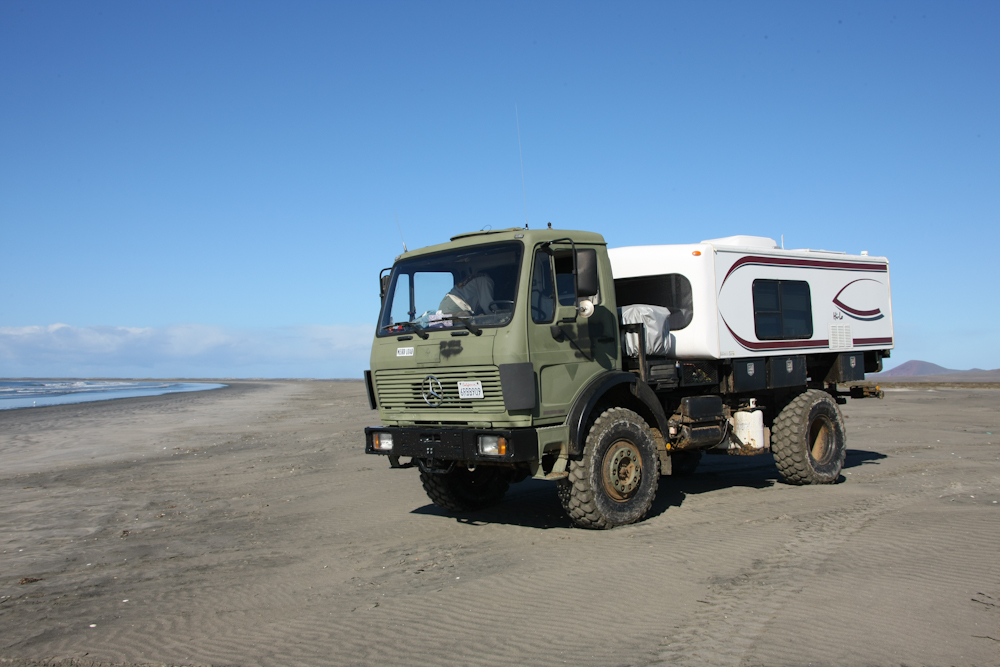
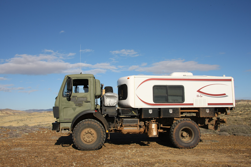
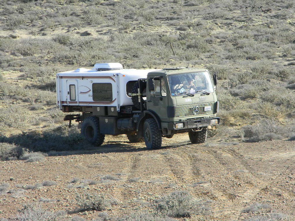
We stopped for a photo
opportunity. The 1017A ran pretty well in the sand given that I
was running about 27 psi of tire pressure. I was reluctant to go
too much lower due to risk of de-beading the multi-part rims.
But, before the trip was over, we were running at 20 psi and had no
problems.
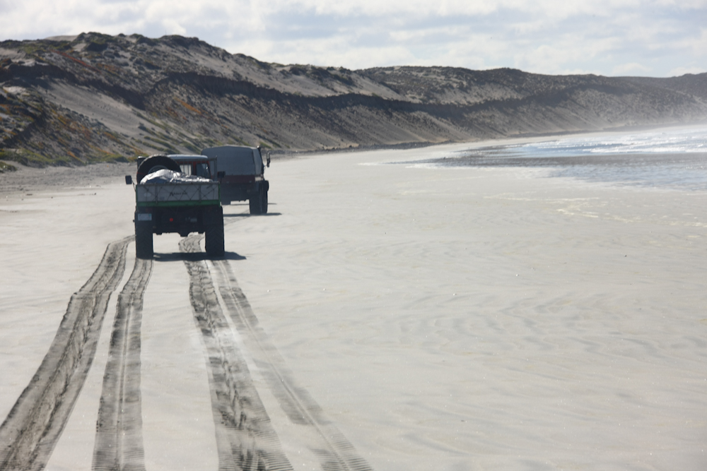
The beach was flanked by
large dunes, preventing our escape until their end several kilometers
to the southeast.
Matt tries one escape
route, but in the end, elected to continue down the beach. It
turned out that we were able to exit the beach before the tide came in
through a small village. From there, we headed east to Mex 1,
then south on the highway to El Rosario.
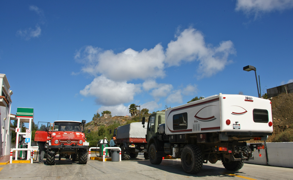
We made a diesel stop at
El Rosario and then headed south again toward Punta Conoas.
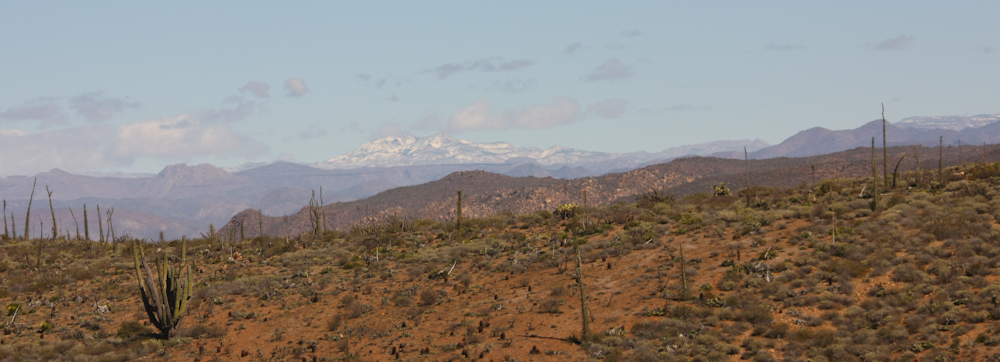
South of El Rosario, the
road travels along a high ridgeline, about 1500 feet above sea
level. From the ridge, we could see far to the east to snow
covered peaks of one of the near-by ranges. The previous day's
storm had been cold enough to not only bring wind and rain, but snow to
the slightly higher elevations.
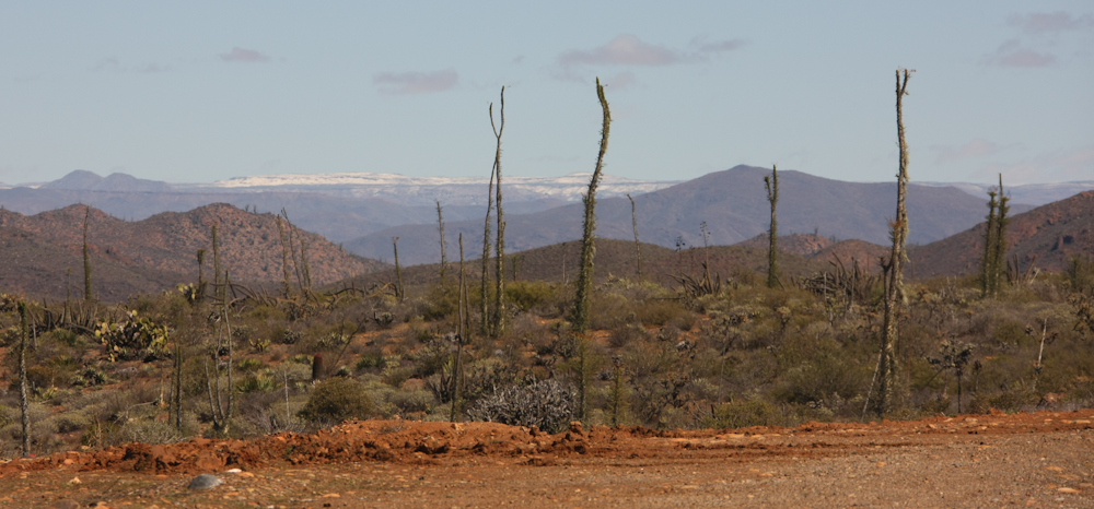
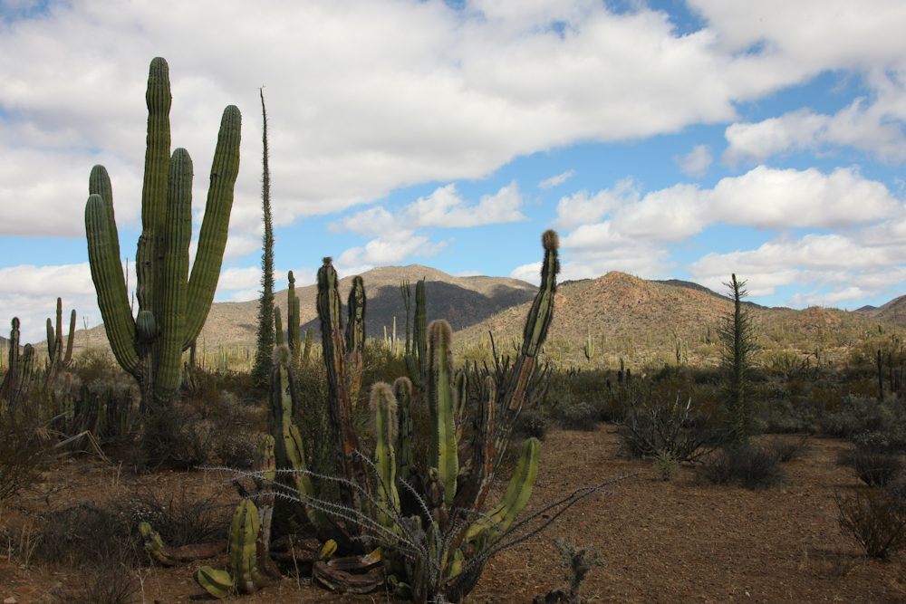
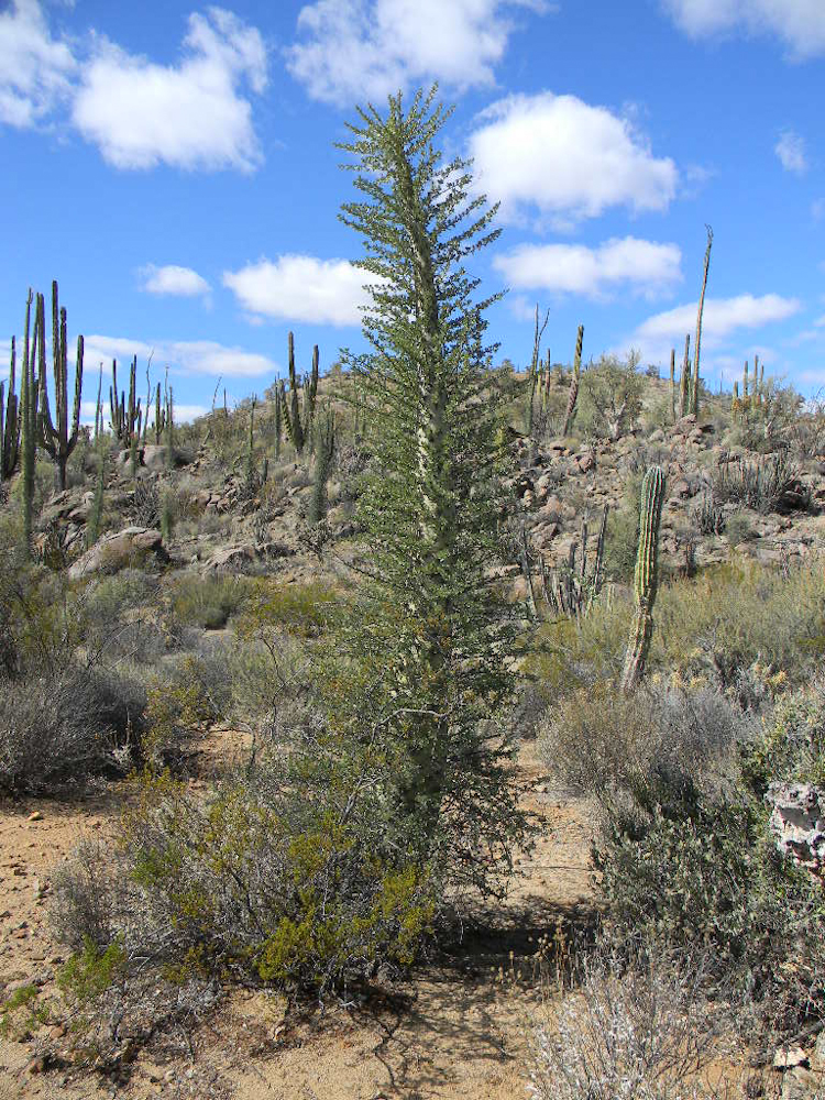
The odd cactus are called
cirios (AKA Boojum Tree) and they provided a striking contrast to the
snow-covered hills in the distance.
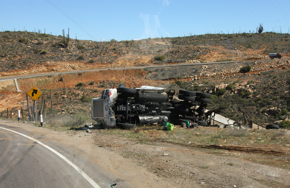
At the crest of the
ridge, at a point marked as "curva pelagrosa" (dangerous curve), we
passed this big rig over the side. The police were there as well
as a pathetically small wrecker and a salvage truck. I am sure
that this accident happened during the storm the previous night.
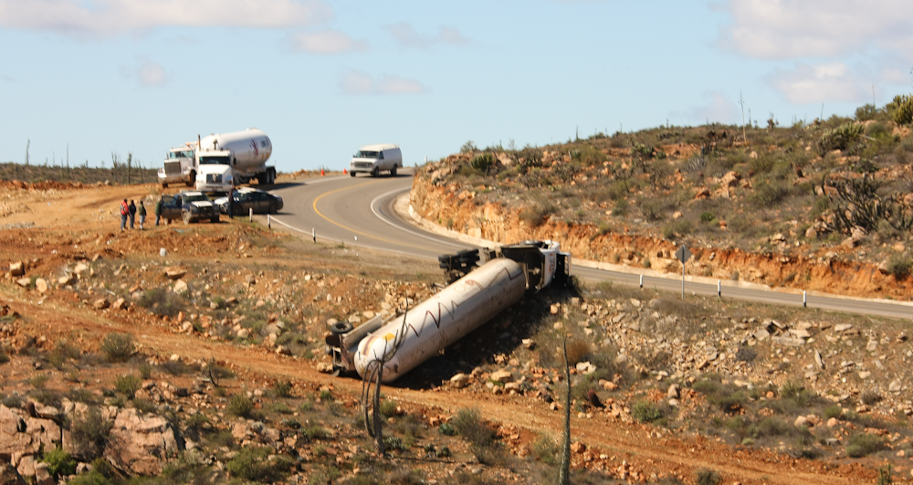
The owners of the tank
lines sent another truck to attempt to salvage the contents of the
wrecked truck. It was good for the driver that the load did not
catch on fire as the tank holds propane.
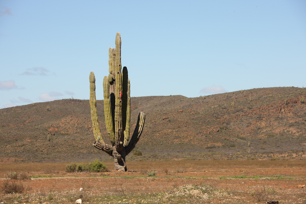
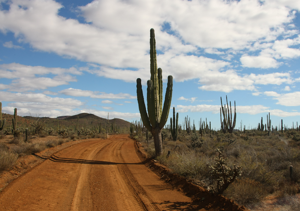
Further south, back on
the flats, I captured this photo of a lone cardon cactus. The
vegetation in this area is tightly linked to altitude. The big
cactus, cardons and cirios, primarily grow in a narrow band of
1500-2500 feet altitude.

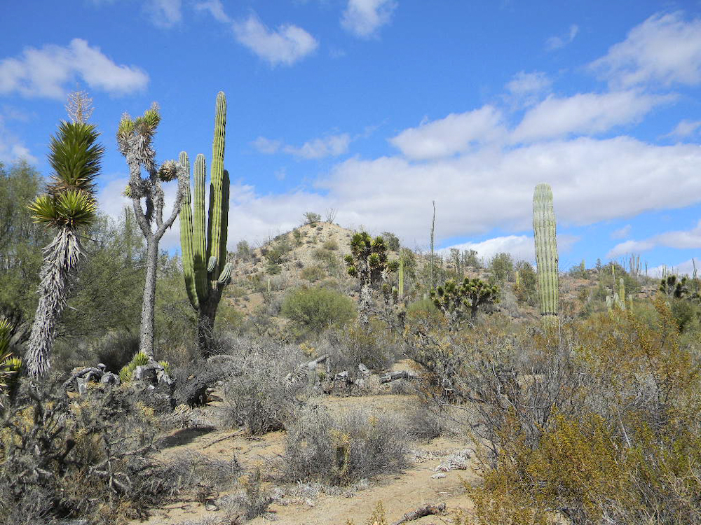
We hit the turnoff for
Punta Conoas and then turned west on the dirt. Along the way, I
got the shot above during a bio-break.
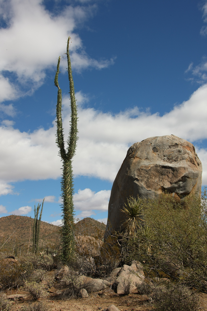
The cirios are unique and
can grow to 30-60 feet in height.
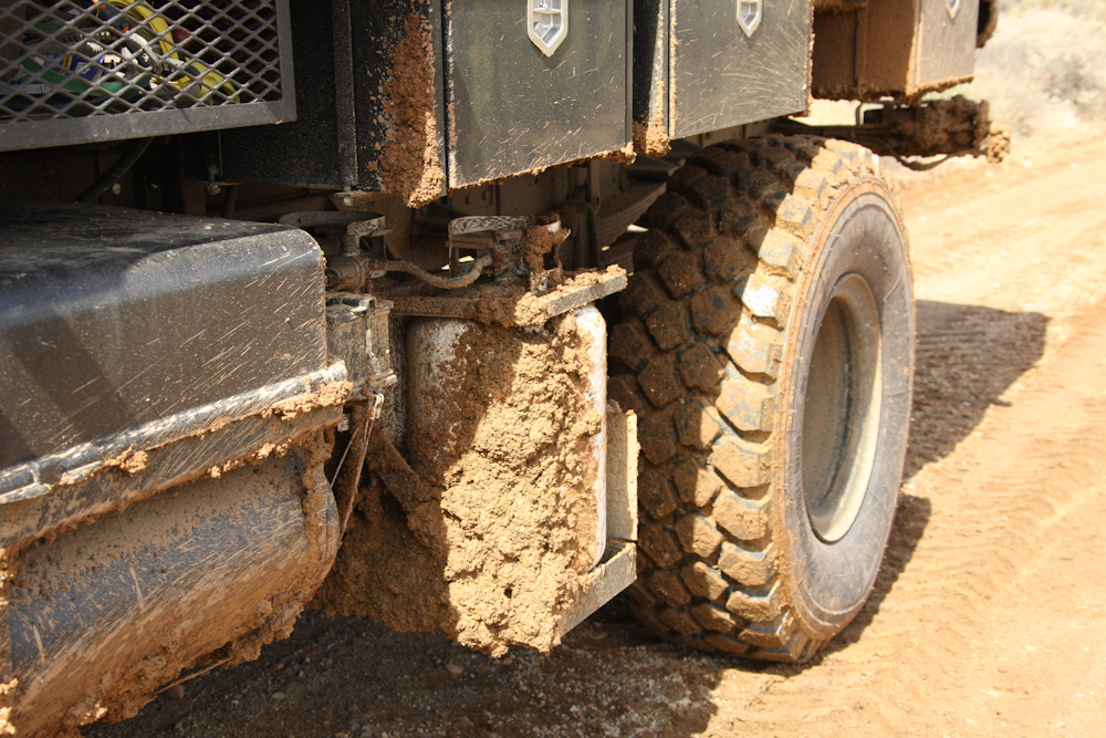
The previous day's rain
had left the trail soft and muddy and we were bringing much of it along
with us.
South of our position we
could see cardons, cirios and Old Father cactus.
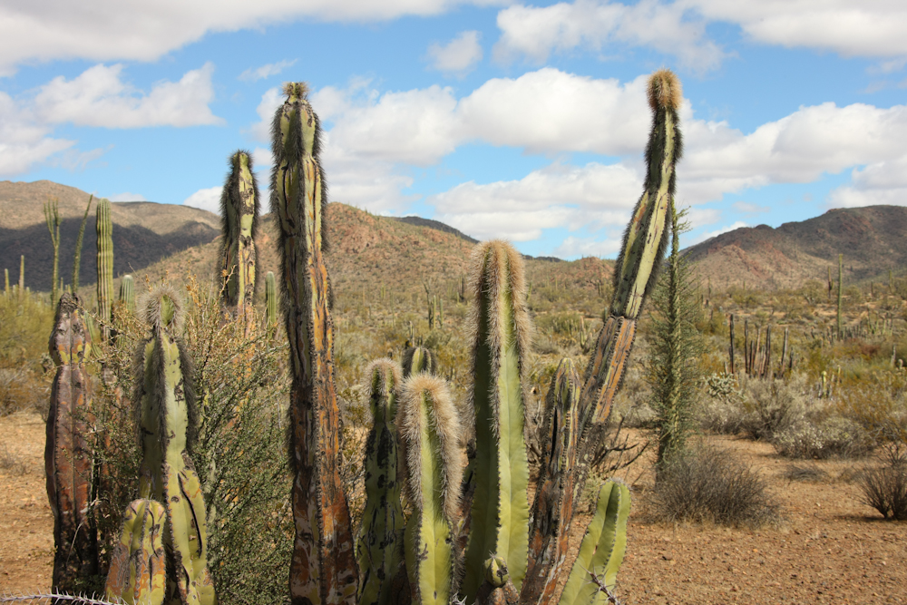
The Old Father cactus
have dense spines at the growing end of the stalk and almost no spines
on the shaft. The spines look like hair, but are very sharp and
cruel.
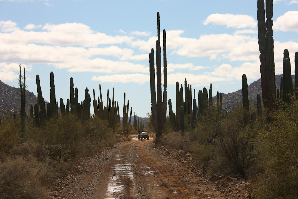
Our trail took us through
large stands of cardon cactus. As a consolation prize for the
heavy rains and mud, the road had been graded only a few days prior,
making the path pretty smooth.
We found a spot for lunch
and made sandwiches and had a few beers.
Despite the rains, the
recent grading made for a pretty easy passage on this portion of the
trail.
We passed through several
areas of dense desert vegetation.
The cirios looked pretty
happy and I am sure that the recent rains would make them even
happier. Each of the small side shoots on the cactus have ugly
thorns to discourage the animals from eating the stalk.
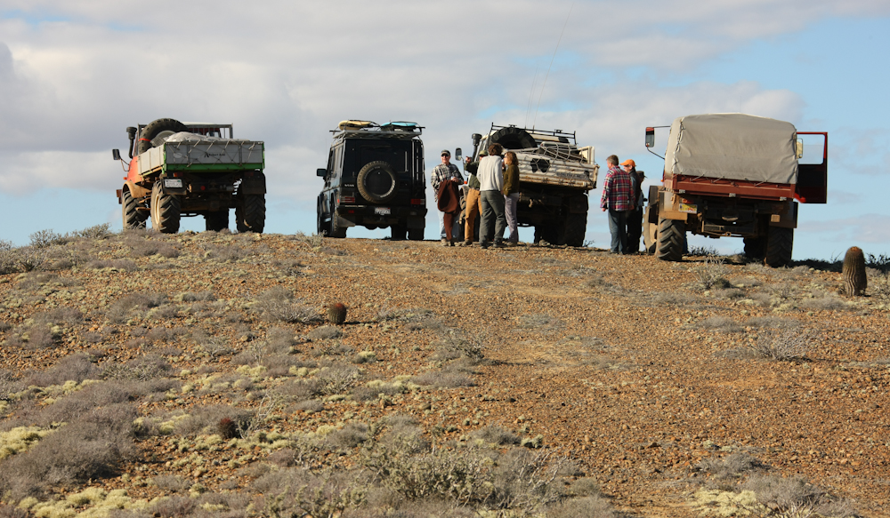
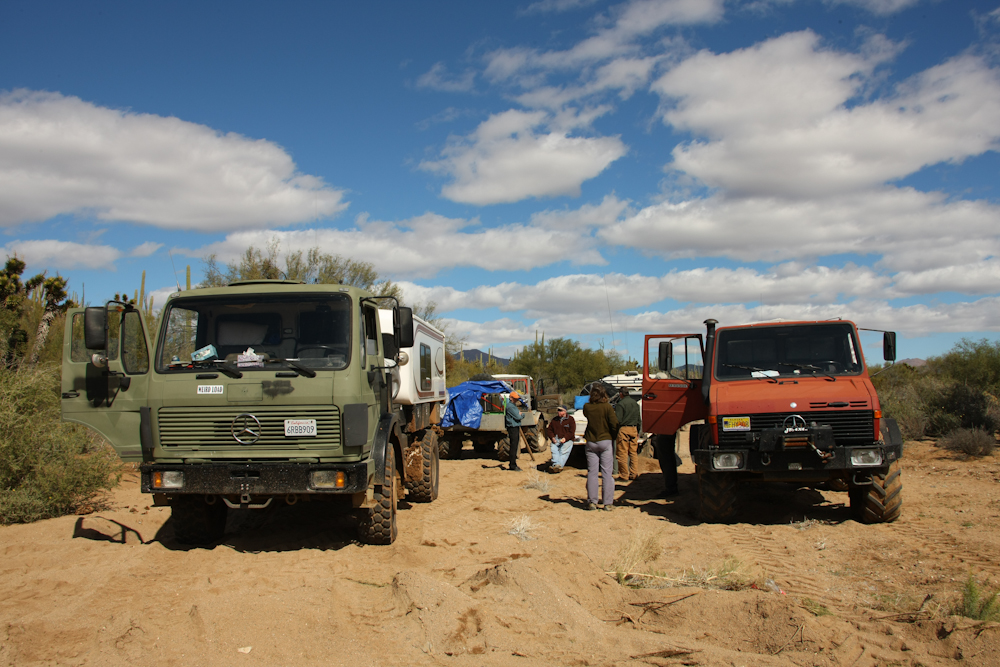
We finally made it to
Punta Canoas and found Richard in his G-wagon watching our approach
from the top of a hill. We drove up to meet him.
The crest of the hill
required a tight turn-around, so I left the 1017 at the bottom of the
grade.
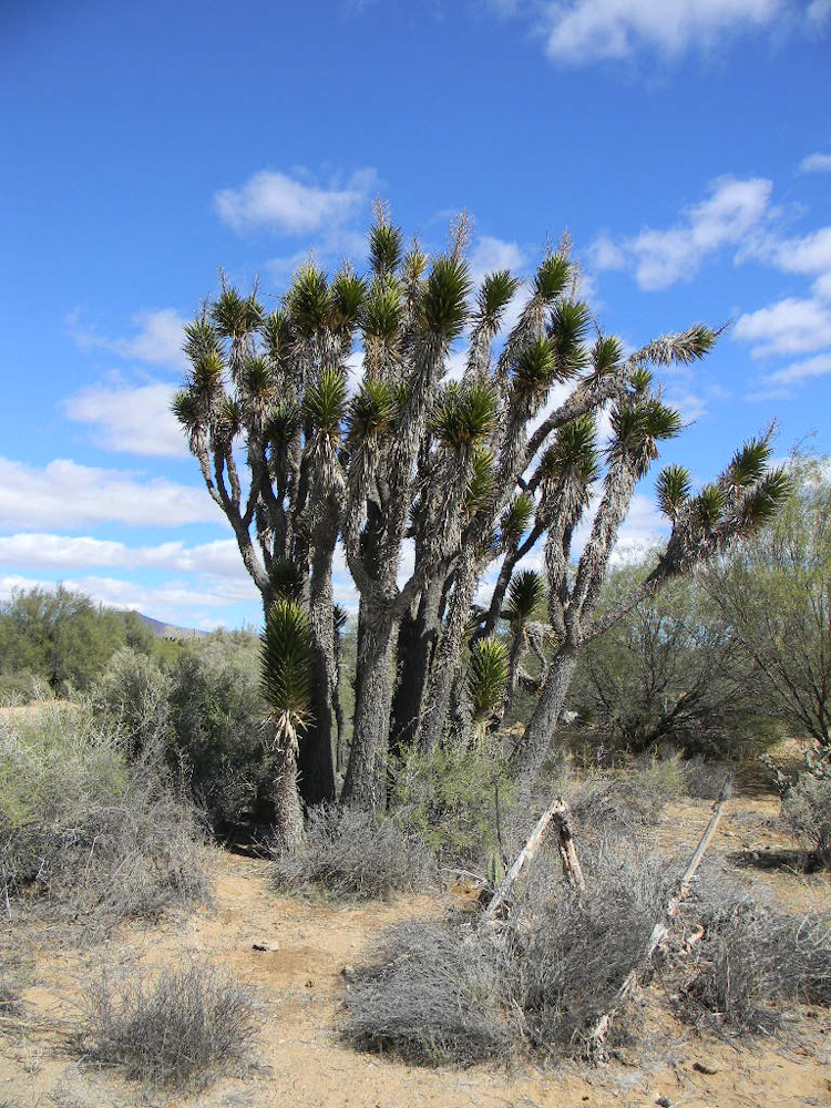
Nearby, there was a
reasonable stand of datillo cactus. These cactus are very similar
to the familiar Joshua Tree cactus.
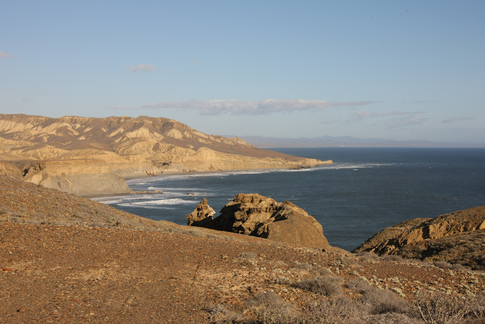
From the top of the hill
overlooking Punta Canoas we had a commanding view to the south.
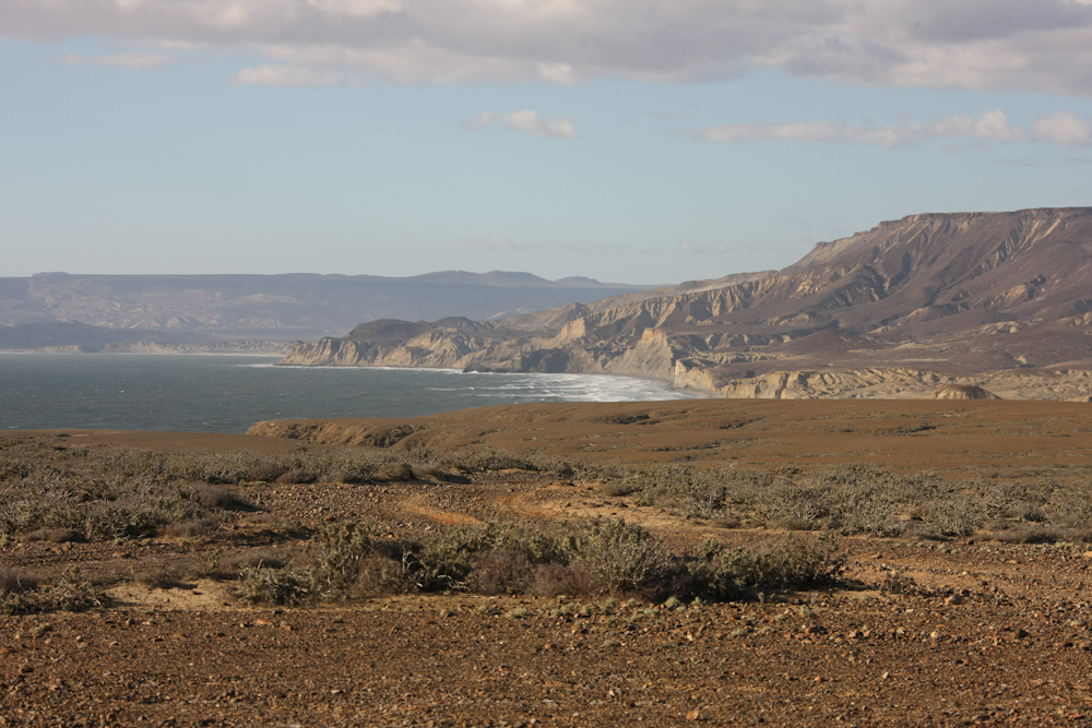
The view north was
equally as impressive and we could hear the waves crashing on the shore.
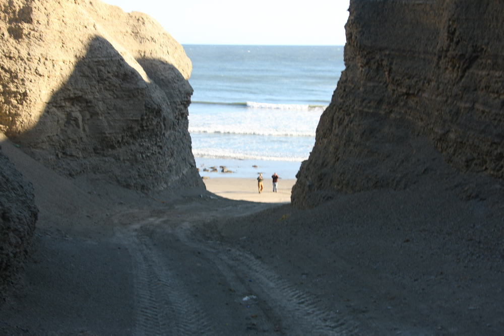
Richard showed us a path
that led down the cliffs to the beach below. The trail went
through a narrow canyon that required careful driving.
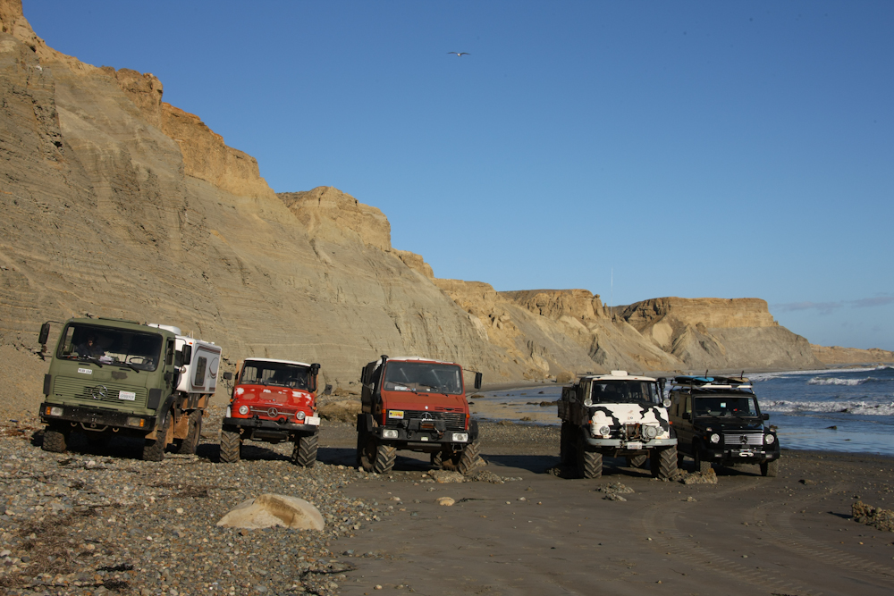
A group shot with the
cliffs of Punta Canoas in the background.
We could not stay on the
beach as the tide brings the waves to the edge of the cliff.
Since the wind was still blowing hard, we retreated a short distance
inland to find a camp site.
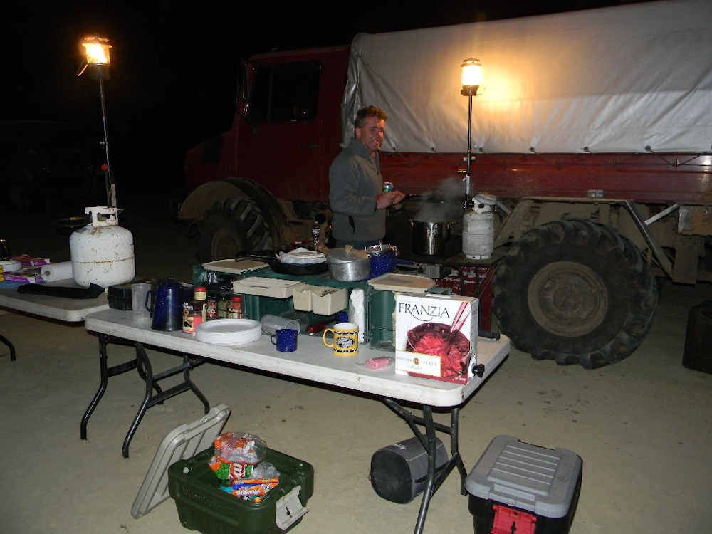
Richard had cooking duty
and he made us lamb stew with Guiness beer. For dessert in the
desert, we had whiskey and chocolate.
| Previous Adventure | ||
| Trip Home Page |
Photos
and Text Copyright Bill Caid 2011, all rights reserved.
For your enjoyment only, not for commercial use.