Our camp in
Searsport was right on the bay. We stayed one night and then
continued our travels to the eastern-most point in the CONUS.
The photos below are what we saw.
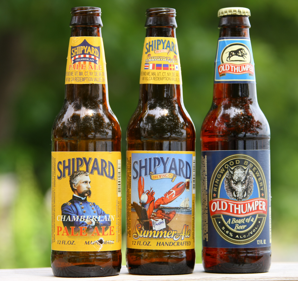
I have had some pretty odd
experiences with other folks while driving my Unimog. As we were
heading to Searsport, we passed an oncoming fellow in a Land
Rover. He gave us the "you're so cool" hand sign and we drove
on. Down the road about 10 miles, we pulled into a diesel station
for a fill-up. The fellow had turned around and followed us to
the fuel stop. He wanted to check out the truck, and to give us a
six pack of beer. Just like that. It seems that he was a
marketing manager for the Shipyard Brewery. When the guy in the
truck next to us overheard the "...here take this beer" conversation,
he requested a six pack too. The fellow declined and said, and I
quote, "you truck is not nearly cool enough to merit free beer.".
HA! He gave us 2 beers of each of the 3 types shown above.
Very tasty and a very nice gesture. Thanks Brandon!
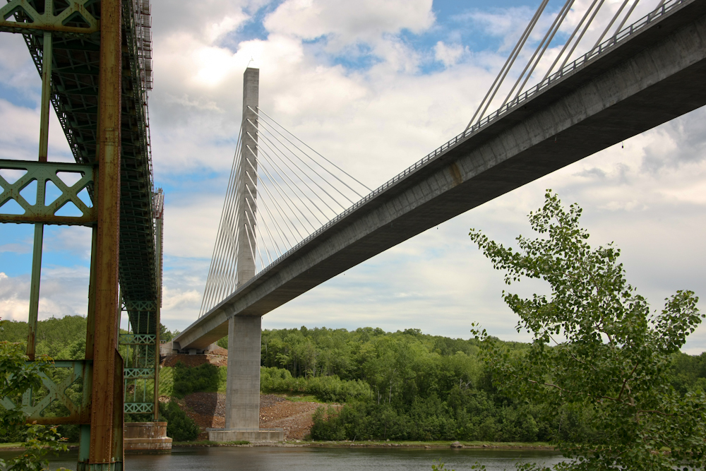
We finished at Searsport and
proceeded on to the Penobscot Narrows area. There are several
bridges that span the river there, so we went to check it out.
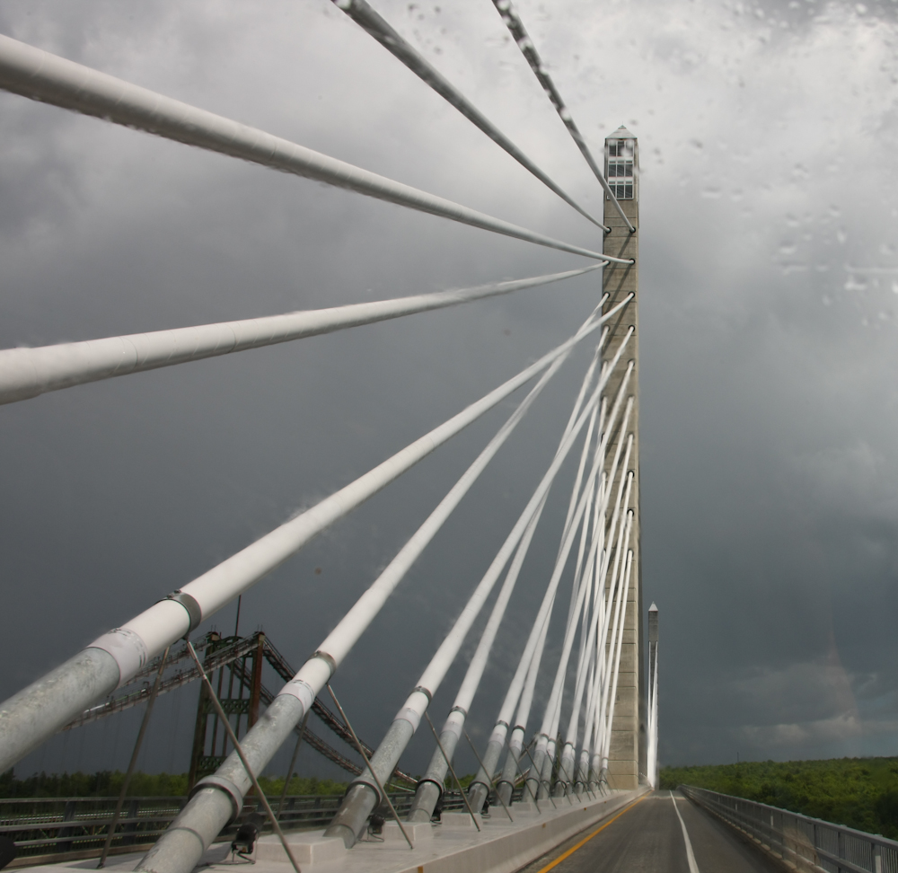
Above is a section of the new bridge, made of pre-stressed concrete
sections. The old bridge was found to have serious corrosion
problems and a crash program was put in place to replace the structure
with a new bridge. As part of the design, they have an
observatory at the top of one of the towers. And, best of all, it
has an elevator so we did not have to climb a billion stairs to get to
the top.
The old bridge was built of
riveted steel construction which was popular when it was built early in
the century. The new design is pre-cast concrete sections in a
column and cable configuration.
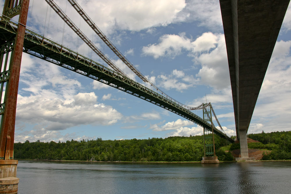
The old bridge is unsafe and has
been blocked off from use. But, it is still impressive.
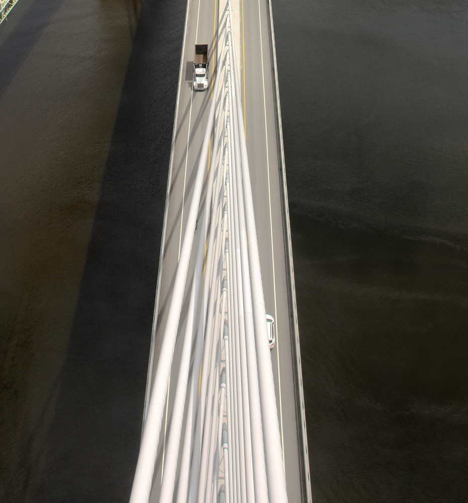
The view looking down from the
observatory was impressive. Note the geometry of the cables and
the size of cargo truck.
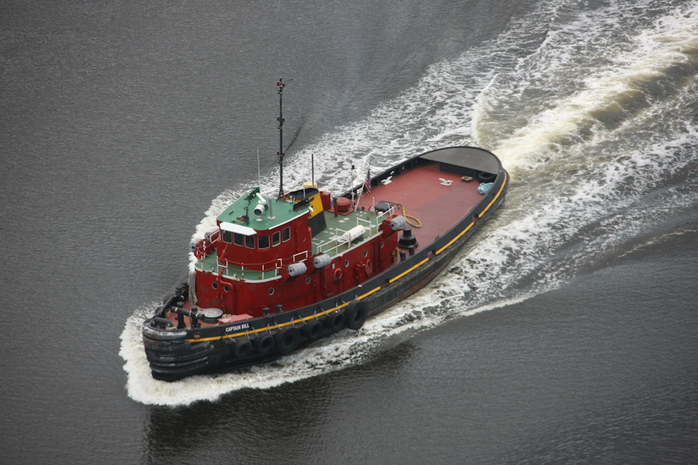
While we were in the tower, a
working tug came by. Interestingly, the name of the boat is
"Captain Bill". How apt.

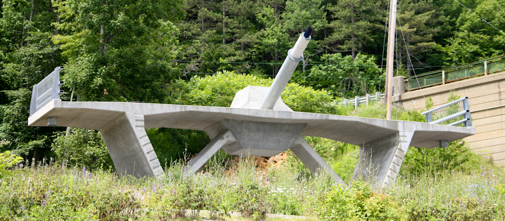
From the bridge, we went a short
distance north to Fort Knox. While not the same as the army
base and U.S. gold repository, it was still interesting. The fort
was built was built to protect the Penobscot River basin from British
attack.
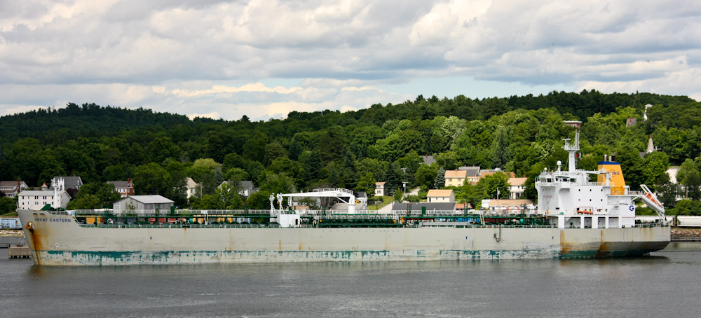
The Penobscot River is deep and
wide enough to support full size, deep draft ships. This ship,
"Great Eastern" was docked at the small village of Verona across the
river from the fort.
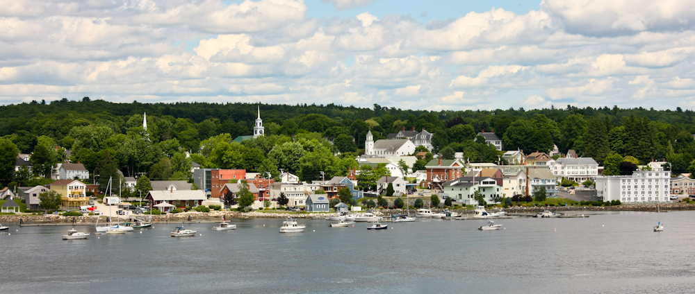
The village of Verona looked like
something you would see in a travel magazine.
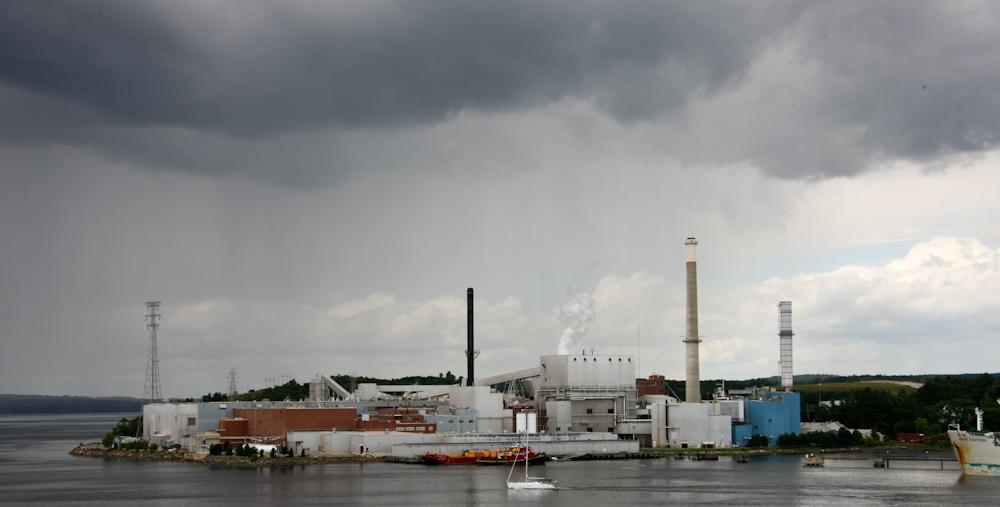
Just north of Verona was a large
factory. I never confirmed with the locals, but I believe this
plant produces paper products. Rain was closing in on us.
Indeed, we were rained upon while in Fort Knox. Kathleen was
smart enough to bring a rain coat; I was not.
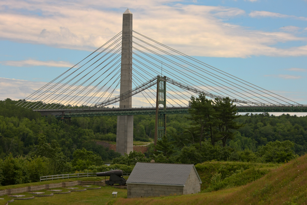
The column and cable design of the new bridge is apparent in photo above.
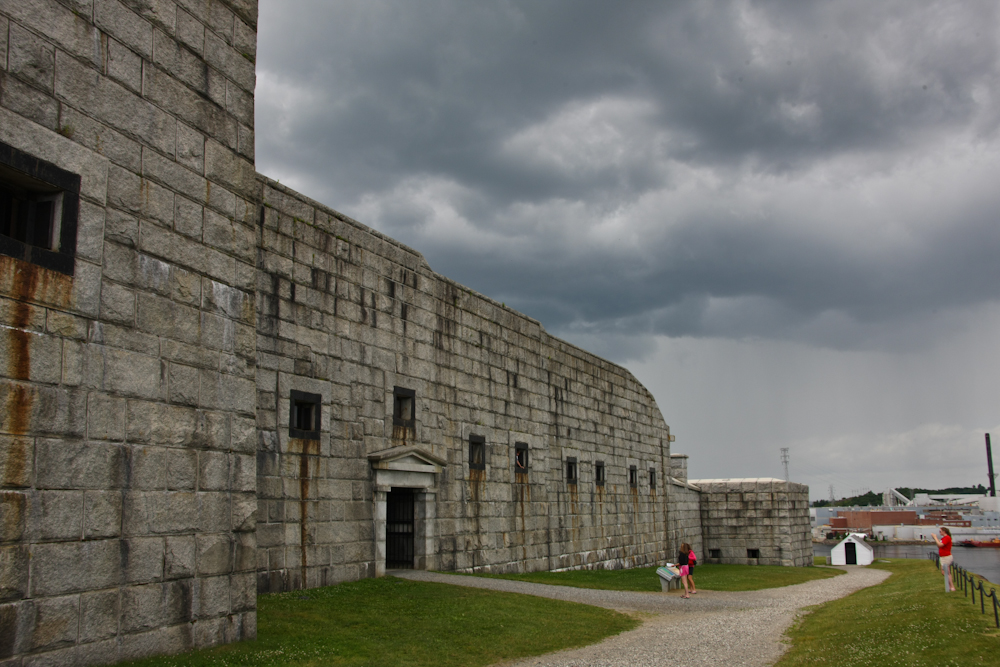
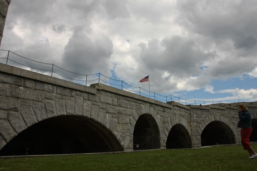
Fort Knox was impressive in both
size and construction. There were many emplacements for Cannons.
There were some large granite
blocks used in the construction of the fort.
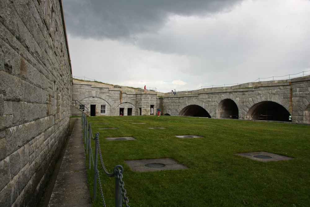
A view of the inner court yard.
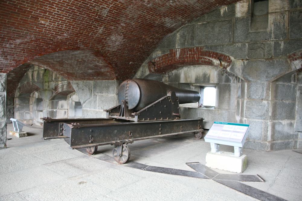
This cannon is large and
impressive. I never noticed if any of the cannons at the fort had
been fired in anger. Note the flows of calcite on the walls; just
like being in a cave.
After we finished at Fort Knox, we
crossed over the bridge as the rain started in earnest. As we
crossed the bridge, we got an interesting view of the cables used to
support the span of the bridge. We had lunch in Verona and then
headed east toward Bar Harbor, ME.
We spent the night at a camp
ground on Mt. Desert Island. It was fine, but the best part was
that we got a space without reservations. From the campsite, we
headed into the little city of Bar Harbor. The pronunciation of
Bar Harbor, I believe, is Baa Haabaa. We had a very pricey lunch at a
restaurant right on the water. I forgot that in places that
entertain many tourists, they learn to exploit the tourists. I
should have had a clue that when most of the menu items are marked
"M.P." (market price) that you will be in for a surprise when the check
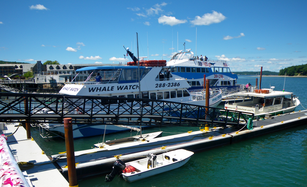
comes. Price of the meal notwithstanding, we did have a nice view
and the weather was great. Above is a shot of the tour boat pier
that is co-located with the restaurant.
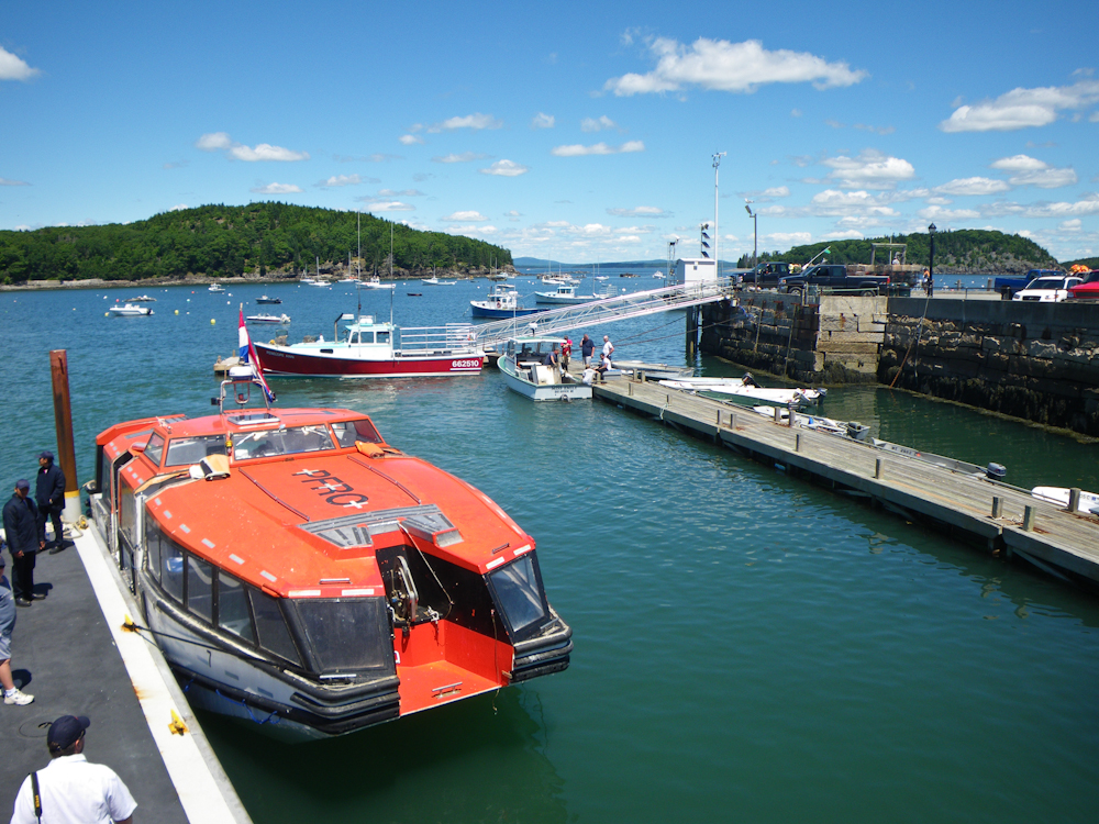
From our table at lunch, we
watched these orange boats come and go. It took awhile until we
understood what they were.
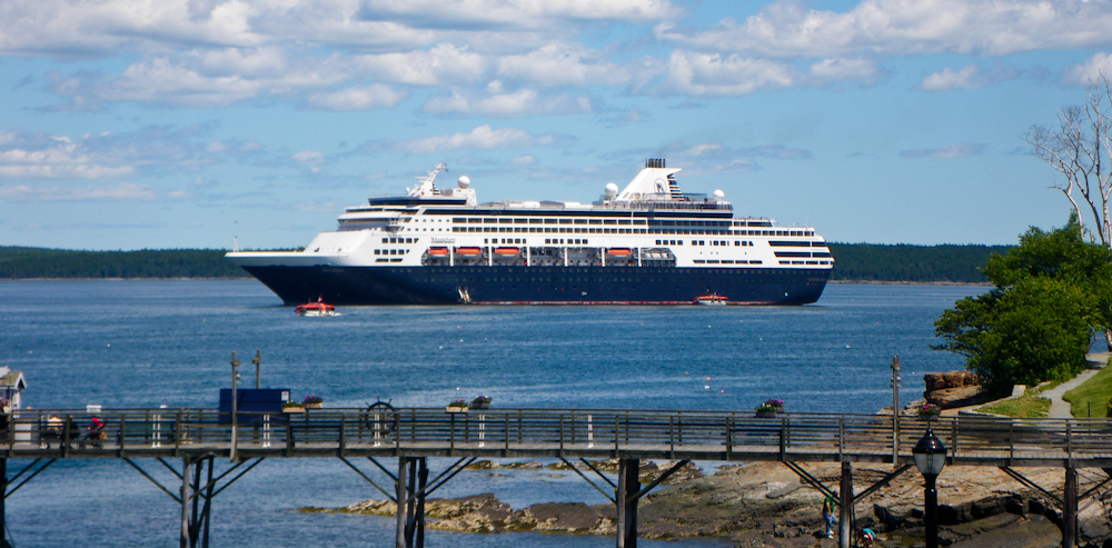
The source of the orange
boats. There was a cruise ship in port at Baa Haabaa and they
were offloading passengers to the port. That would explain the
thronging multitude of people on the streets of the town. The
boats appear to be life boats for the cruise ship. Note the 3
missing on the side of the ship.
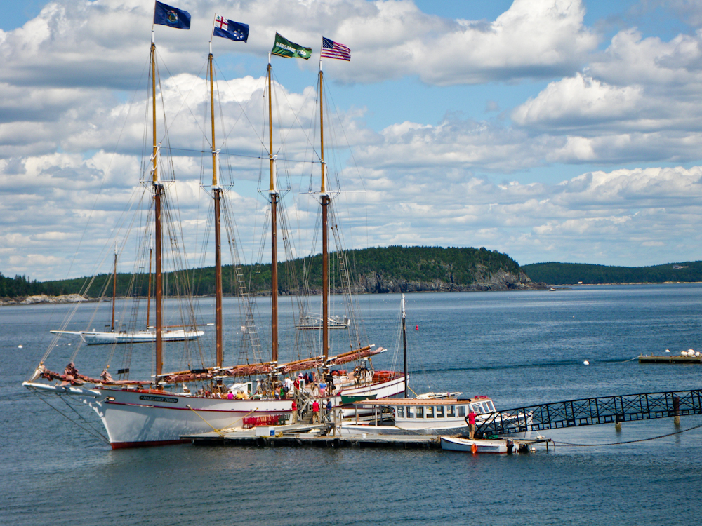
There was a 4 mast schooner at
dock in Bar Harbor.
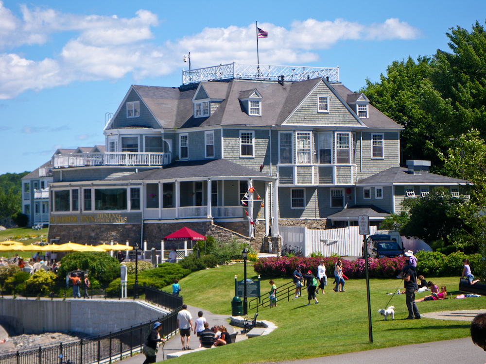
The Bar Harbor Inn looked like a
fine place, and likely more expensive than the waterfront place we
ate. From Bar Harbor, we did a loop on Mt. Desert Island and then
headed east along U.S. 1 to Lubec, ME. Lubec as the honor of
being the "most easterly" point in the CONUS.
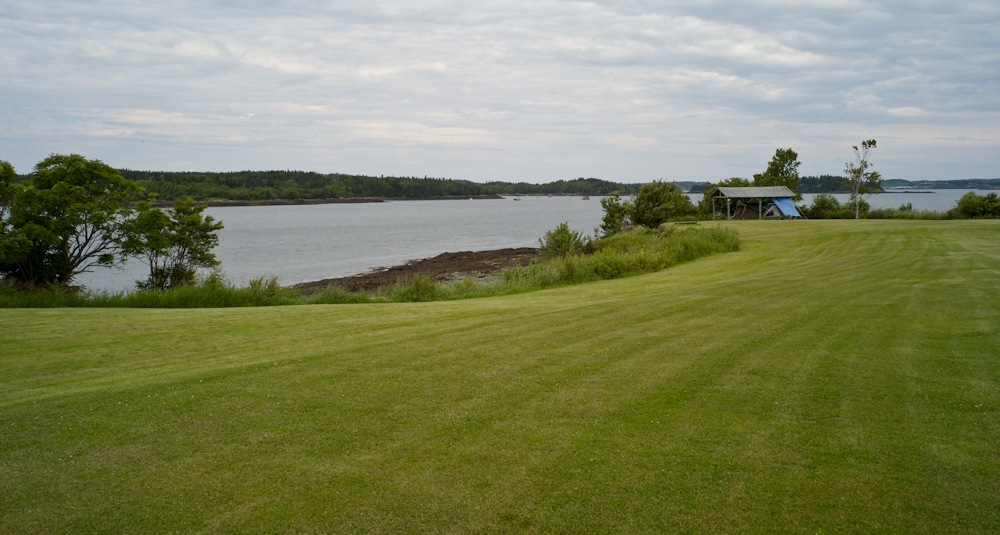
When we showed up at the (only)
camp site in Lubec on the 2nd of July, we were able to get a place to
camp. Actually, there were several places still open when we
showed up, but that soon changed. After we setup, we did a
walk-about. The photo above was taken about 10 feet in front of
our camp and shows a small portion of Passamaquoddy Bay.
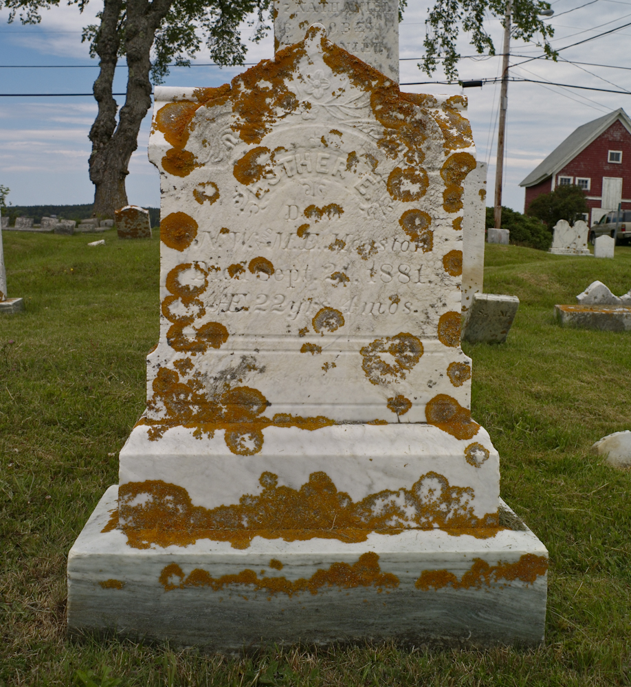
Next morning, we unloaded the
bikes and headed into Lubec to see what was there. Along the way,
we passed the local cemetery. Some of the monuments were in great
shape, some were not. This one struck me as somewhat unique in
that in was marble and coated with orange lichen.
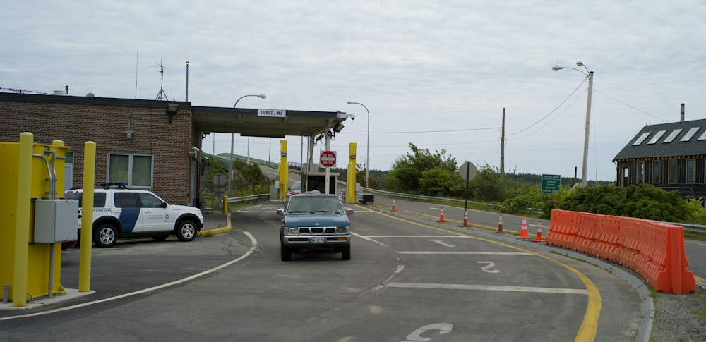
The CBP border checkpoint at Lubec
looks like every other back-country border crossing we have seen.
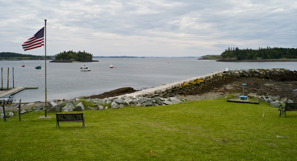
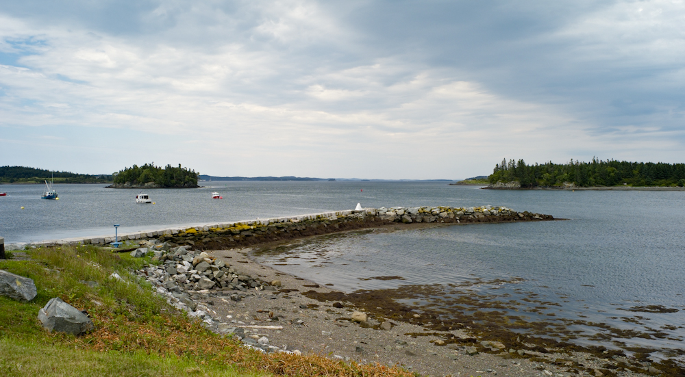
The northern-most point in the
village of Lubec had a small rock jetty with a border monument.
Unlike the cast iron monuments that we are used to seeing in the
southwest, this one was wimpy and concrete.
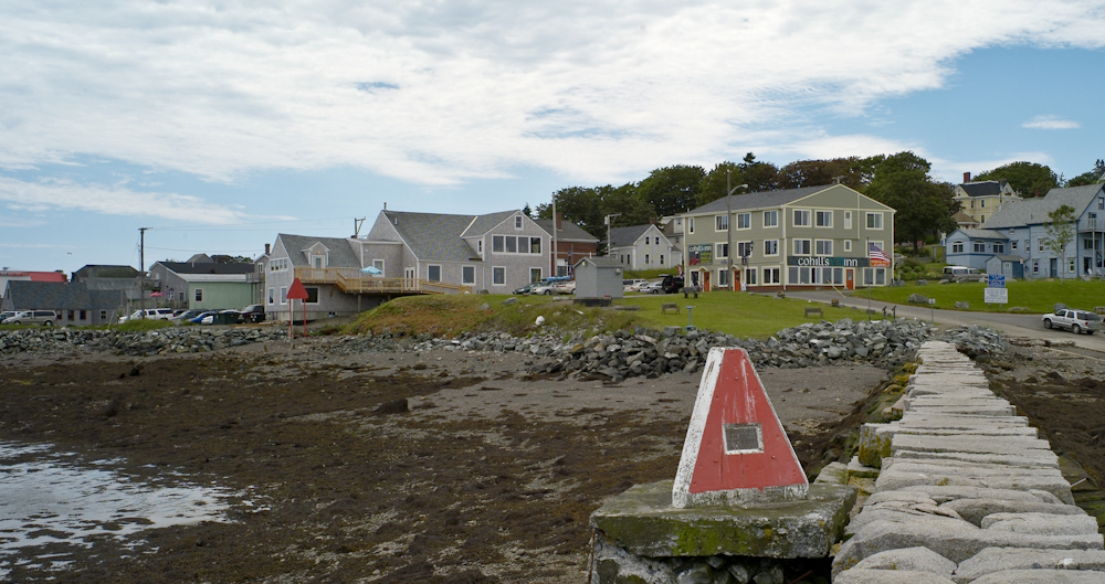
The monument had a plaque on it,
but it was sufficiently corroded to be unreadable.
We ate lunch at a small restaurant
close to the jetty. The food was excellent and the prices were
reasonable.
As we left the restaurant the
weather was starting to close in. The clouds were the demarcation
line for a passing front. The front brought colder temperatures
and wind, but no rain.
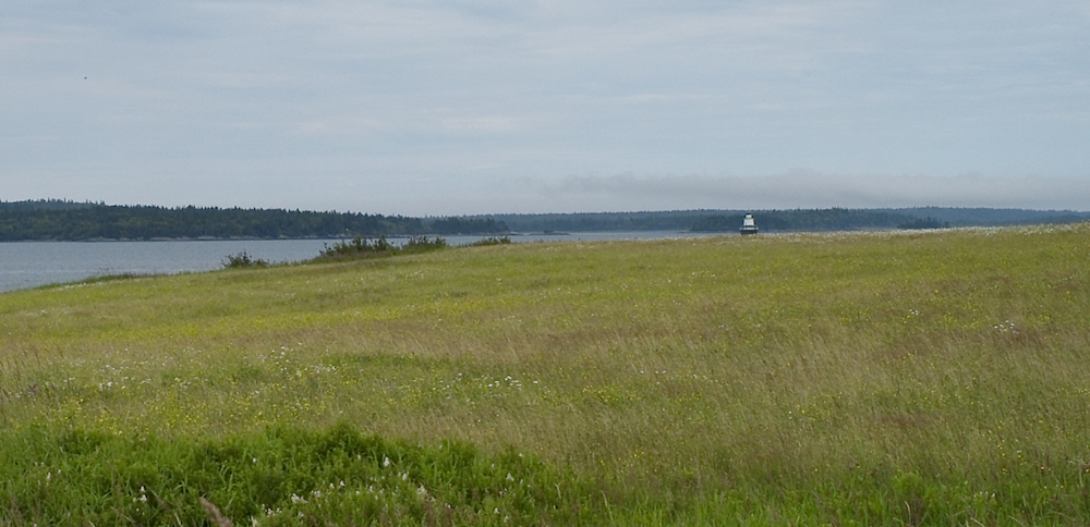
From Lubec we rode our bikes
toward the lighthouse on Quoddy Head. The fields above had plenty
of wildflowers in bloom, but sadly the small camera did not render them
well.
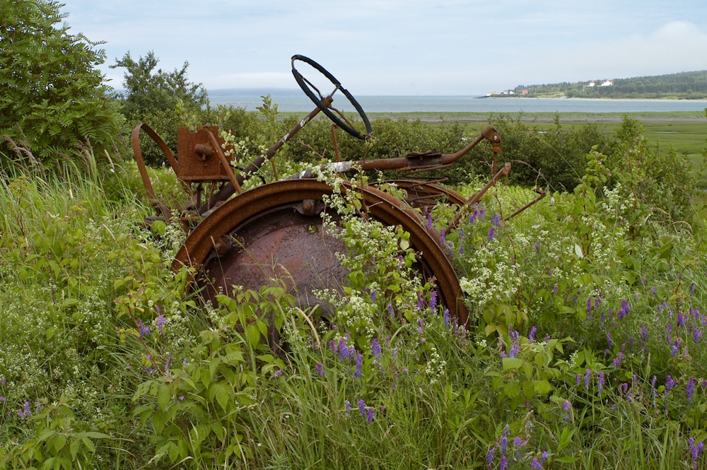
Along the road, we spotted this
abandoned farm tractor surrounded by wildflowers. Note the shacks
on the beach in the distance. Canada is across the bay in the
distance.
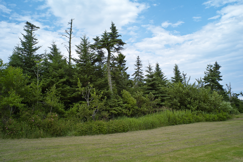
Some of the areas along the road
were nicely groomed and heavily forested.
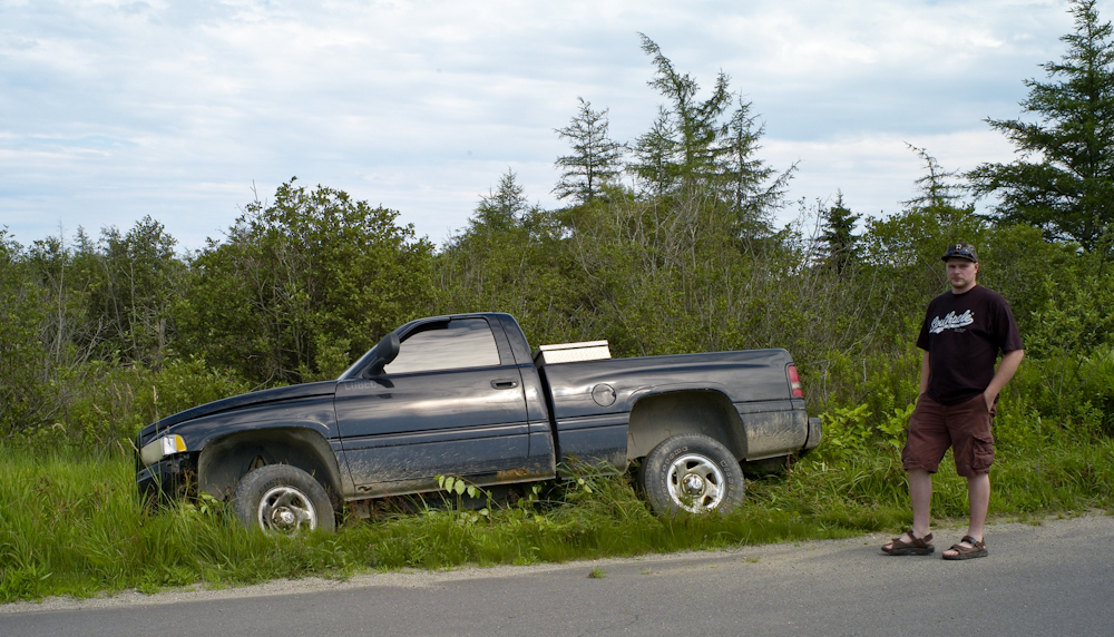
On the way back, we passed this
fellow who drove into the ditch. His story was that he was trying
to close the passenger window to prevent his dog from jumping and in
doing so he took his hands off the wheel, thus running into the
ditch. But, given his demeanor and slurred speech I think he had
been drinking. He was stuck, but not that stuck and the truck did
not appear damaged. And, lucky for him, a passerby offered to tow
him out. We quickly tired of his repeated explanations and we
rode on back to the campground for a cocktail of our own.
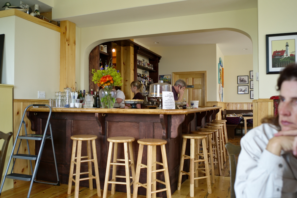
This was a fun segment of the trip. Both Kathleen and I were greatly surprised that the Shipyard Brewery fellow would follow us to give us a free six pack, but having a mog has its advantages. Baa Haabaa was nice, in a tourist sort of way, but pricey. I doubt that I would return there as a destination, but I can understand it's draw on folks. Lubec is just a small town and it's only claim to fame is its geographic position. It was an OK place, but I would not want to live there.
Tomorrow, we head out toward Eastport. We
heard from some folks near Bar Harbor that Eastport has a large Fourth
of July celebration, so we are going to check it out.
| Previous Adventure | ||
| Trip Home Page |
Photos and Text
Copyright Bill Caid 2010, all rights reserved.
For your enjoyment only, not for commercial use.