We spent the night at Coldfoot Camp. We stayed in the camper, essentially in the parking lot of the place. But, it was good enough. We had unobstructed access to the restrooms and they were quite clean. Good enough. Next morning, we broke camp and started on the last leg of our trek to the north slope. Destination: Deadhorse, AK.
The photos below are what we saw.
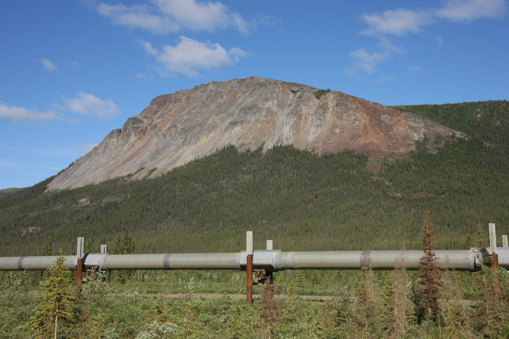
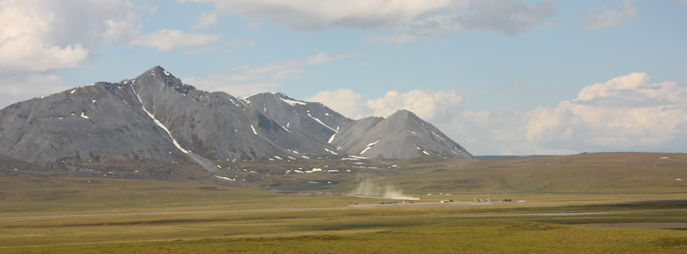
North of Coldfoot Camp, the road and the pipeline started into the actual foothills of the Brooks Range.
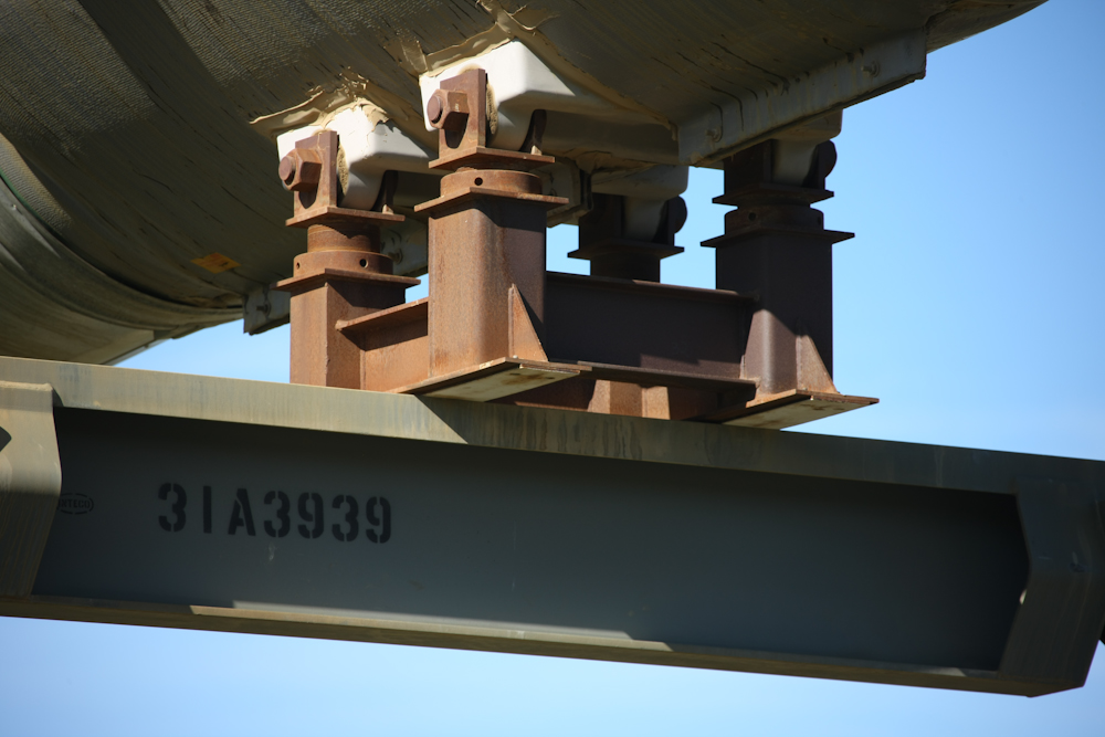
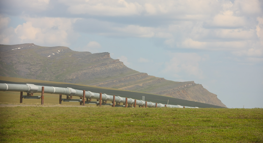
At one rest stop, we had a clear view of the supports for the pipeline. Note that the pipe is not actually connected to the supports, but rather sits on skids that have teflon pads. This allows the line to move without damage. Movement could occur due to thermal expansion/contraction or earthquakes.
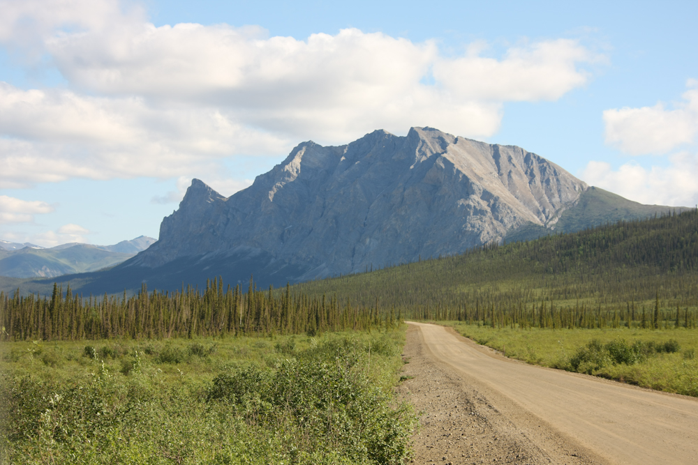
Above, one of the mountains in the foothills of the Brooks Range becomes visible in the distance.
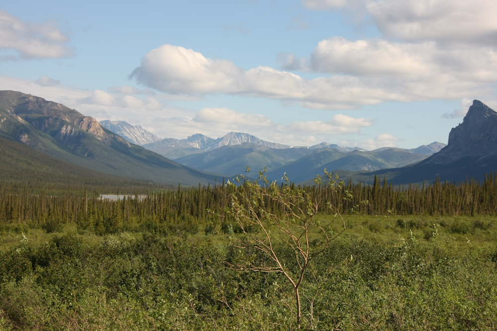
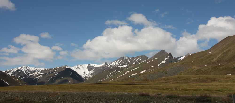
Many of the high peaks still had snow on them.
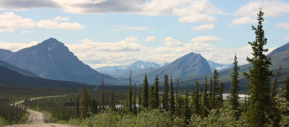
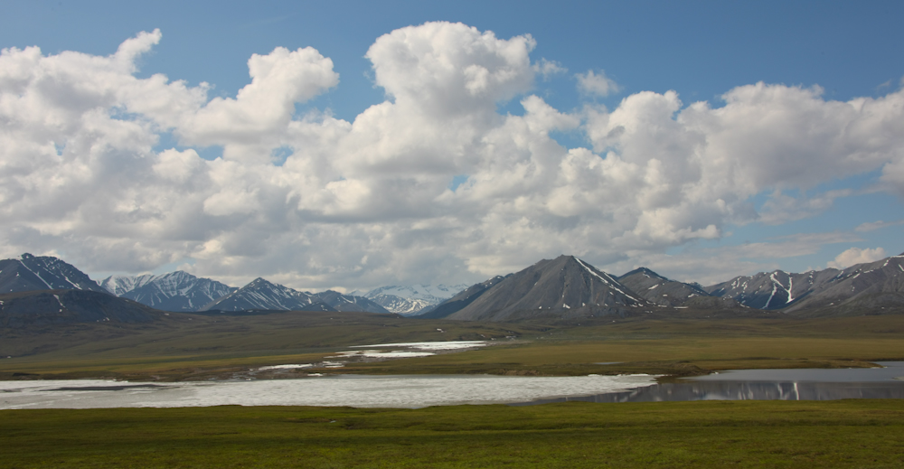
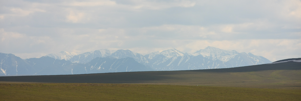
The Dalton Highway (the pipeline road) winds through some beautiful country.
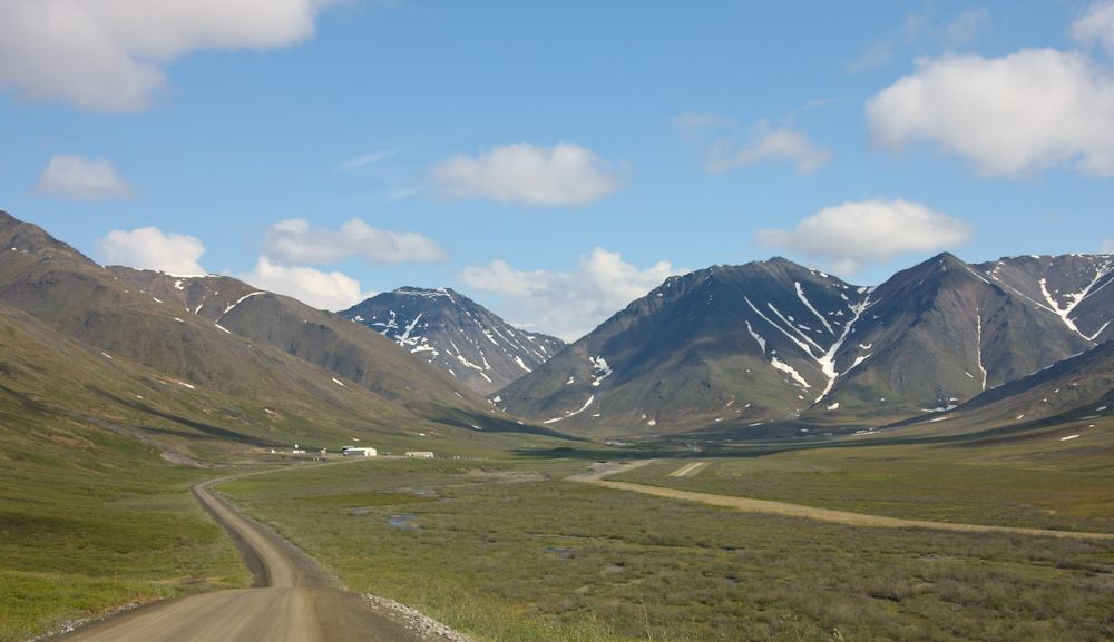
On the south side of Atigun Pass, the Alaskan Department of Transportation maintains a maintenance station to service the pass. The pass is about 1400 meters and it is the highest point on the highway. Plus, the pass is steep, narrow and subjected to frequent avalanches during the winter.
From the crest of Atigun Pass, the dirt road drops steeply to the north slope plain. This section of road is quite scary and I am sure that it goes from scary to terrifying during the winter when covered with ice.
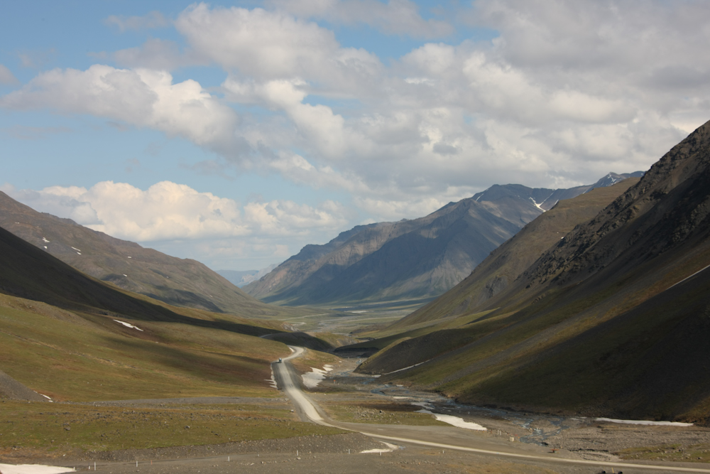
From the crest of Atigun Pass you can see down the glaciated valley to the north. Visible above is a cargo truck southtbound to the pass. Not visible is the grizzly bear that will be crossing the road in front of the truck.
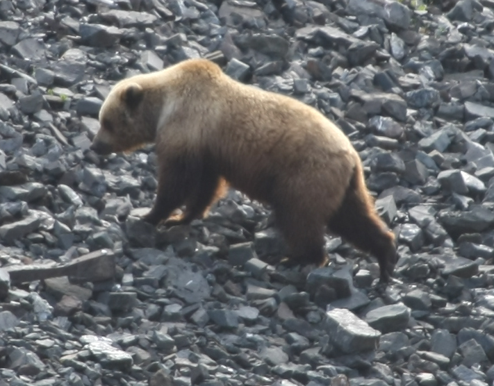
The bear was hauling his ass away from the road when we got to him, but he was still close enough to get a good shot. Frankly, I am glad that he was at a distance.
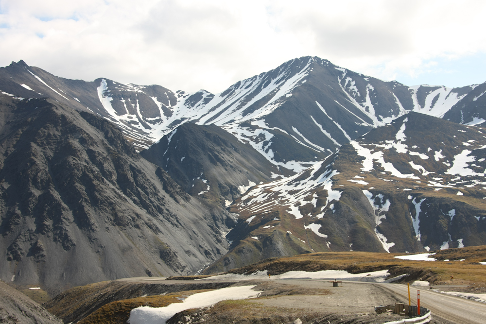
On the north side of Atigun Pass, many of the north facing slopes were still covered in snow. Note that on the north side of the pass there are no trees at all.
One of the pump stations for the TAP. I think this is pump station 3. Note the lack of big bushes or trees on the tundra.
Some of the lakes near the road were still covered with ice.
The roads in the area were nearly all dirt, even the main road. Great clouds of dust were raised by high speed trucks on their way to Galbraith Camp.
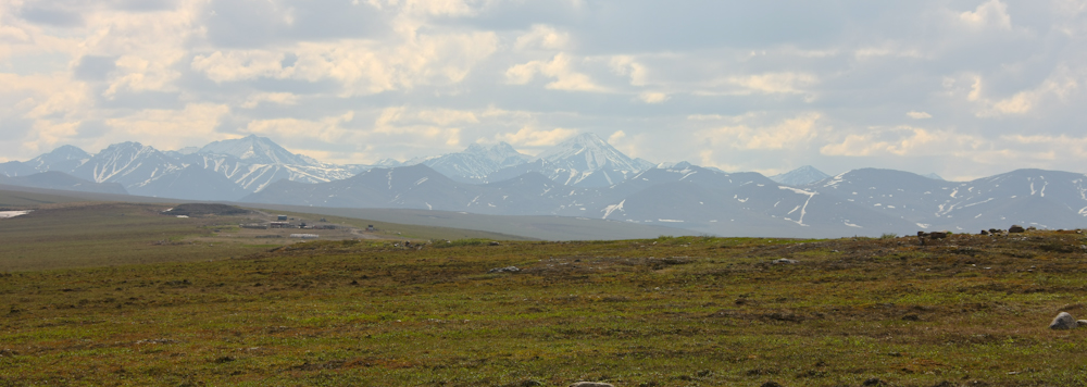
Looking south toward the Brooks Range, the snow covered peaks were clearly visible.
Note the lack of trees and brush on the horizon.
Further north past Atigun Pass, the TAP went past rugged formations in the mountains. Note the sloped bedding.
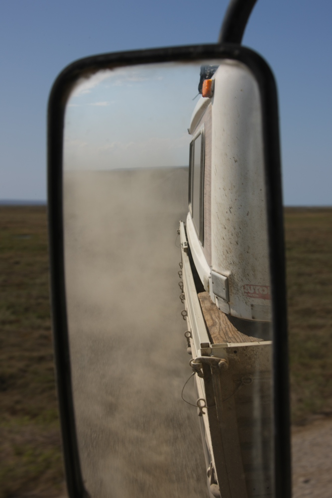
Did I mention that the road was very dusty? Note the billowing clouds that the mog raised as we drove north at 40 mph.
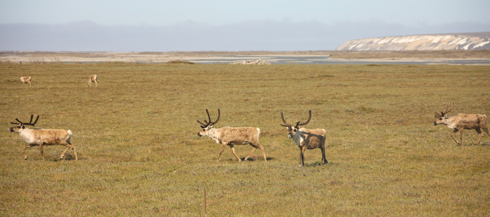
Yooohooooo, caribou! We encountered a small herd of caribou as they crossed the Dalton Highway about 30 miles south of Deadhorse, Alaska.
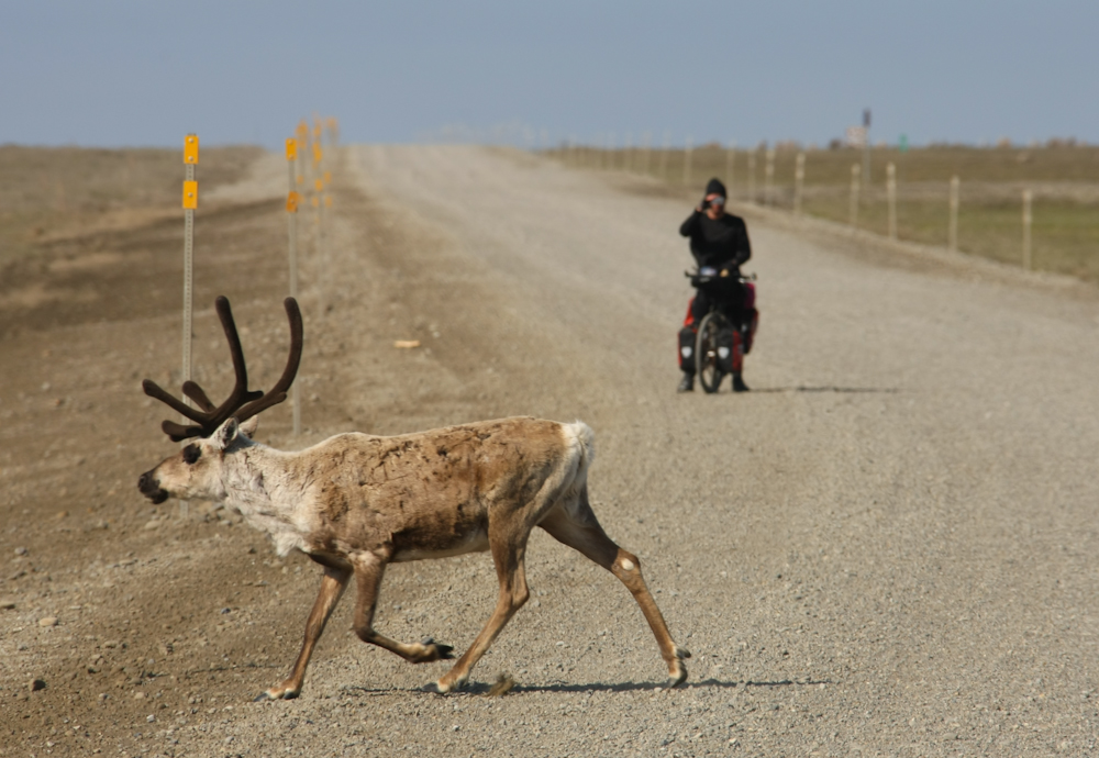
The real story here is not the caribou, but rather the fellow on the bike. They flew into Prudhoe Bay with their bikes and then they are riding south to Fairbanks, about 500 rough, rutted, ugly, dusty, mosquito infested miles. Plus, the wind was blowing hard the day we were there.
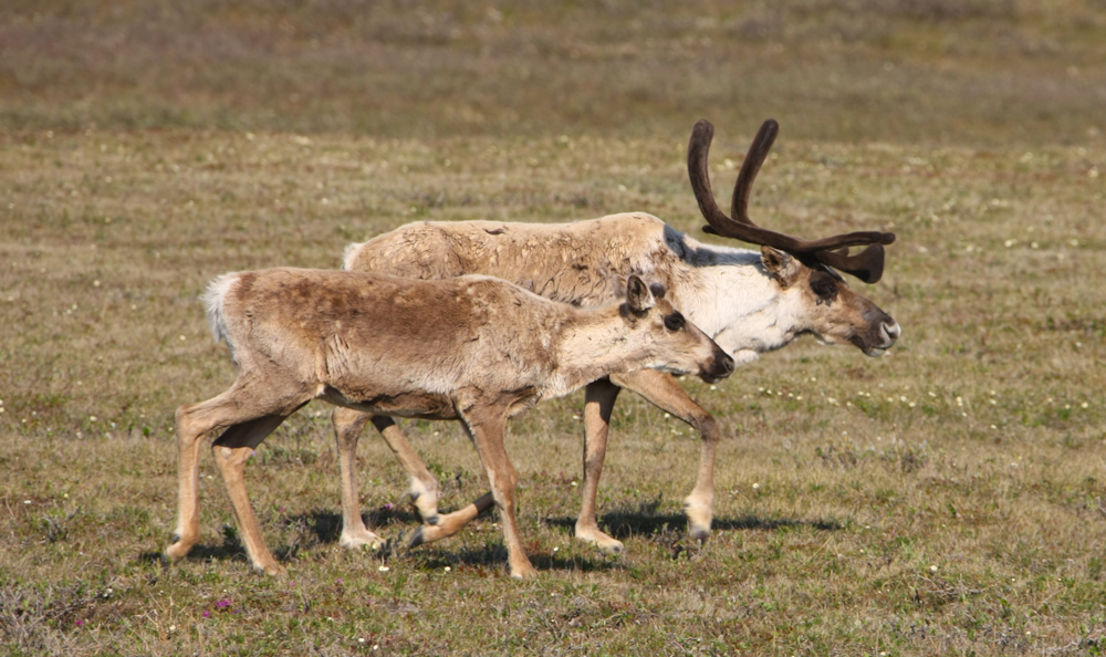
This caribou cow leads her calf through the tundra.
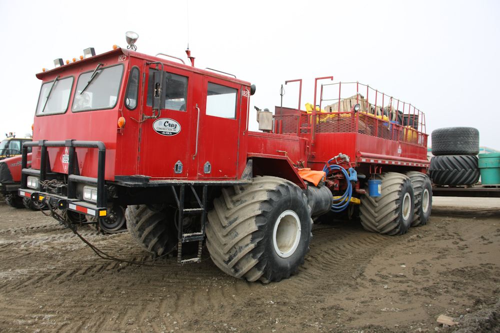
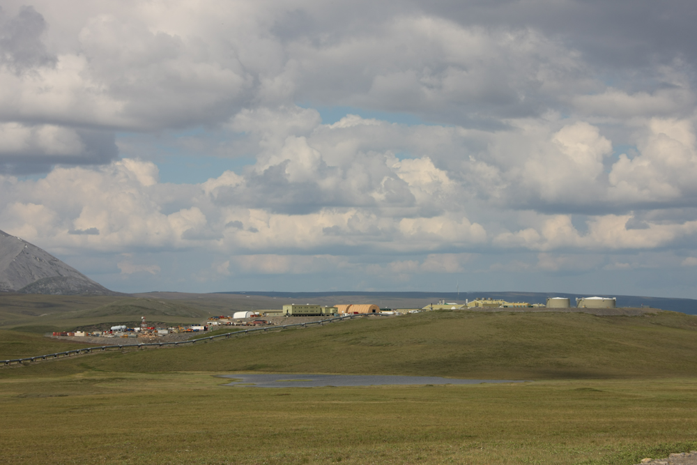
We finally made it to Deadhorse, Alaska. Deadhorse is the last stop on the public road. To actually get into Prudhoe Bay, you have to go through the oil company security checkpoints and they will not let private vehicles through. So, we had to arrange for a tour the following morning after we passed a background check. Meanwhile, since the area had 24 hours of light left, we decided to drive around a bit. Deadhorse is a working town, no entertainment of any kind was available. The fuel stop was hidden, but through the help of the locals, we were able to fill up. While there, I spotted this rig that is used for hauling fuel on the tundra.
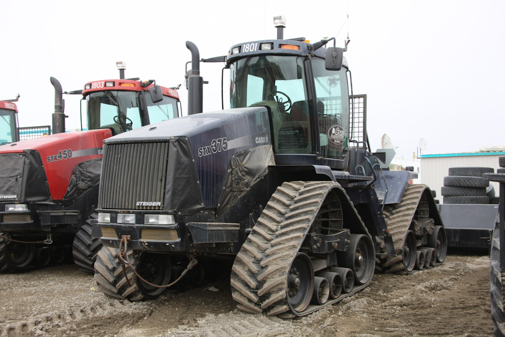
There were all manner of odd vehicles in the area.
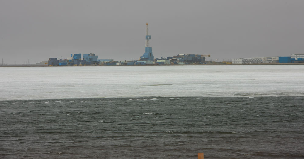
Our first view of the Arctic Ocean. Note the ice. In the photo above, you can see a drilling rig that is placed on a man-made gravel island.
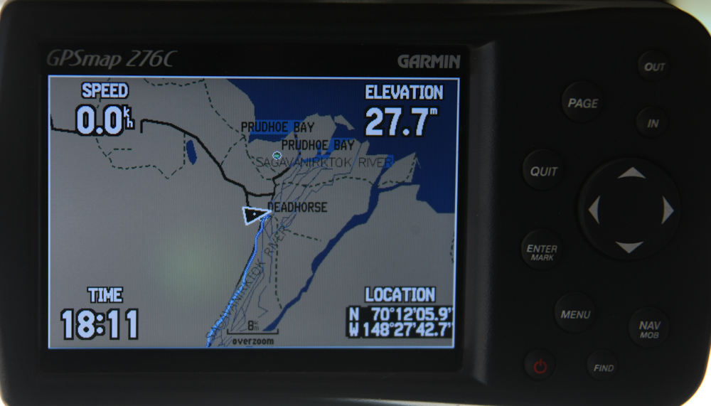
This photo confirms the northern limit of our trip.
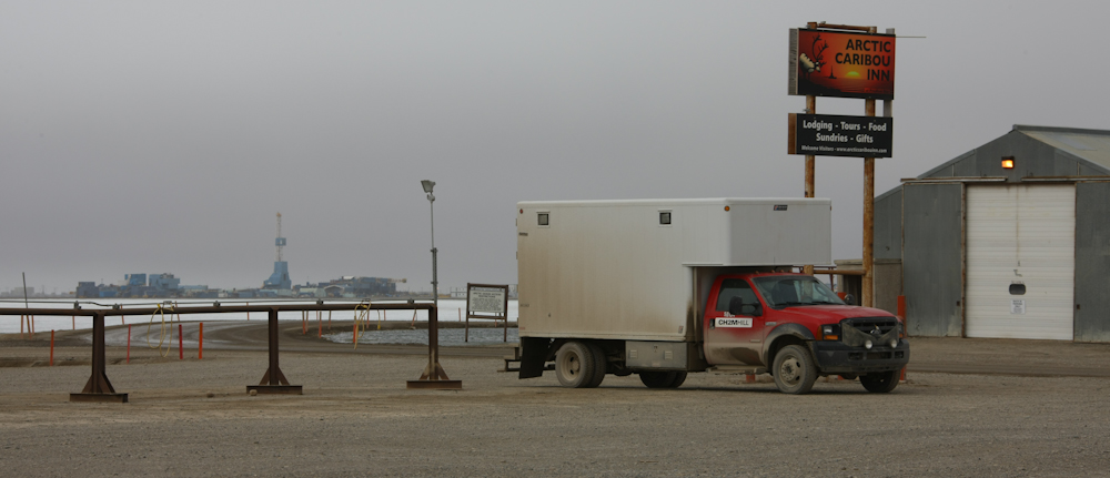
Our tour to the oil area was offered through the Arctic Caribou Inn. Since we were going to have to pay $40 each for the tour, the Inn manager let us park in his lot "for free". We had access to the facilities in the Inn and that made it better. Once we arrived, the wind became much stronger as a front moved through. It got cold in a hurry and we hunkered down in the camper until the next morning.
Deadhorse is pretty much a pit. To call it a town is a stretch, since there are minimal services. Only the two Inns in town had food service and the Inns were there to serve oil drilling personnel. To say the accomodations were basic would be a bit of an overstatement. Lets just say that I am happy that I am not an oil driller. Tomorrow, we would take their tour and then get the hell out of dodge.
| Previous Adventure | ||
| Trip Home Page |
Photos and Text Copyright Bill Caid 2009, all rights reserved.
For your enjoyment only, not for commercial use.