Our trip was nearing a conclusion. We visited our "virtual daughter" Jessica and her buddies in San Francisco, then we headed south to Mountain View to see Ted and Ellen who we have known for many, many years. After Mountain View, we headed to Pinnacles National Monument in the Diablo Range and from there back into the Sierra Nevada.
The photos below are what we saw.
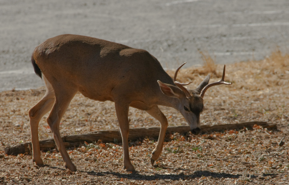
The camping area at the Pinnacles was quite nice. And, since we arrived at the end of the Labor Day weekend, we had the place all to ourselves. There were plenty of deer in the area and they were used to human presence.
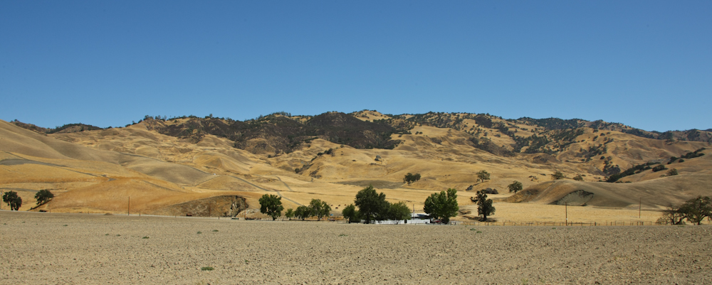
After a quiet night at Pinnacles we headed south on CA-25 down the length of the Diablo Range. The road was paved and in great shape, but we passed no cars for over an hour. Above, you can see the grass covered hills that are typical of the terrain in this area.
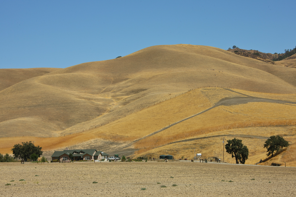
This ranch house was quite nice and a stark contrast to some of the hillbilly places that we saw in our travels. The hills provide forage for cattle herds, but late in the season, as when this photo was taken, they are a huge fire danger. One spark and the whole hill burns. Indeed, we passed a number of burned areas that were clearly caused by a passer-by tossing a cigarette out the window.
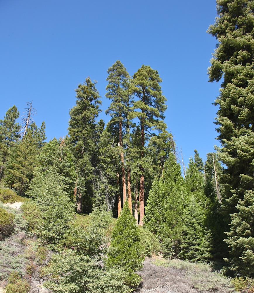
We headed south toward Bakersfield and then back into the Sierra Nevada at Ducor. Our destination for the night was California Hot Springs, but we ended up stopping short at a place called Quail Valley. The camp was clean with plenty of grass and minimal bugs. Plus, they had hot showers so life was good. Next morning, we continued up the western slope of the Sierra toward Sherman Pass. Above, we got a good look at some of the tall sequoia trees that are in the area. The photo is misleading since we were well below the base of the trees and therefore shooting uphill.
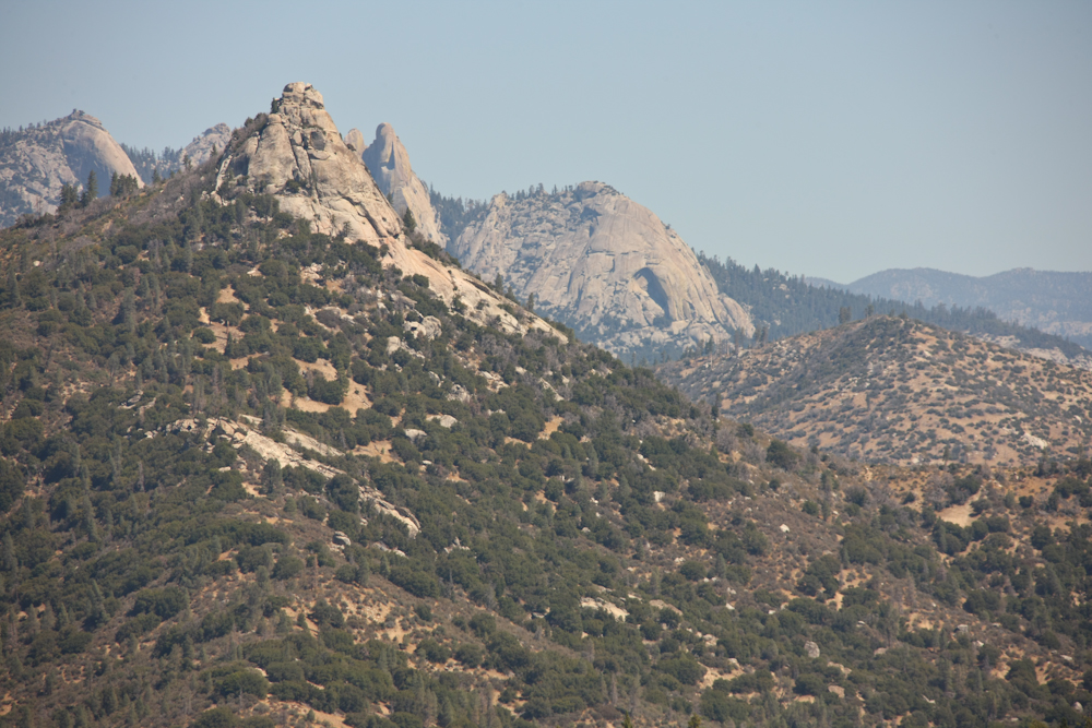
As we neared the area of the actual pass, we started to get better views of the surrounding terrain. Above, you can see some of the granite batholiths that are characteristic of the Sierra Nevada range.
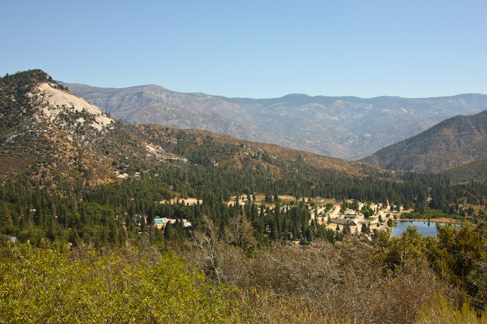
On one of the mini-crests of the road, we got a view of Johnsondale and the final ridge of the range in the distance.
From the mini-crest, we could see our route on the side of the ridge. The road, while paved, was uneven, narrow, steep and had many tight turns.
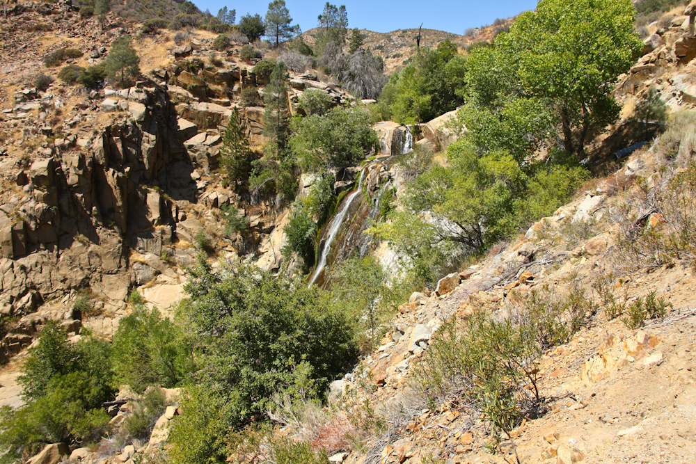
East of Johnsondale, we passed this waterfall. The falls were about 300 feet top to bottom.
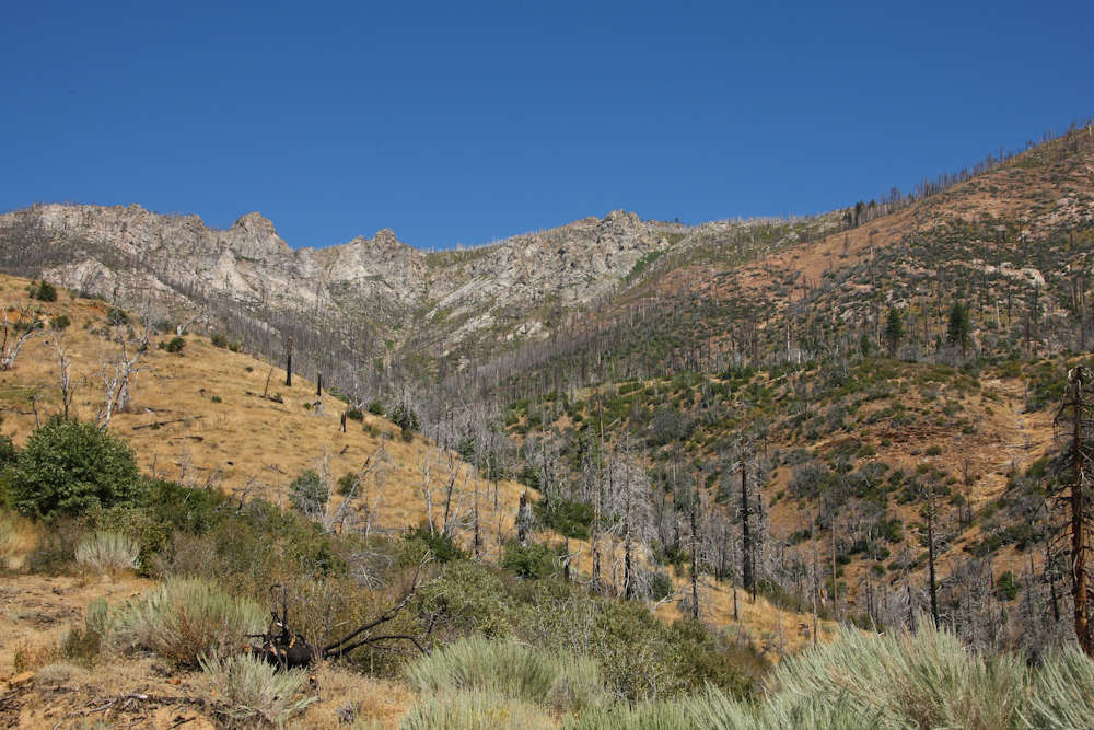
Further on toward Sherman Pass, we could see the impact of previous forest fires. Those upper ridges are very steep and the road was slow going in the mog.
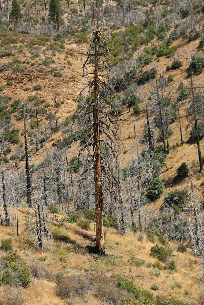
Some of the timber impacted by the burn was quite tall.
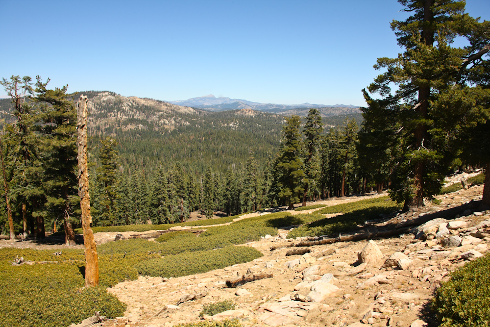
Sherman Pass is over 9,000 feet and there was a parking lot at the crest that provided a great view of the Sierra Nevada range to the north. The far peak is Olancha Peak.
Even Mt. Whitney, the tallest mountain in the range (and the continental U.S.) was visible from the view point.
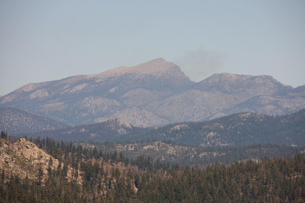
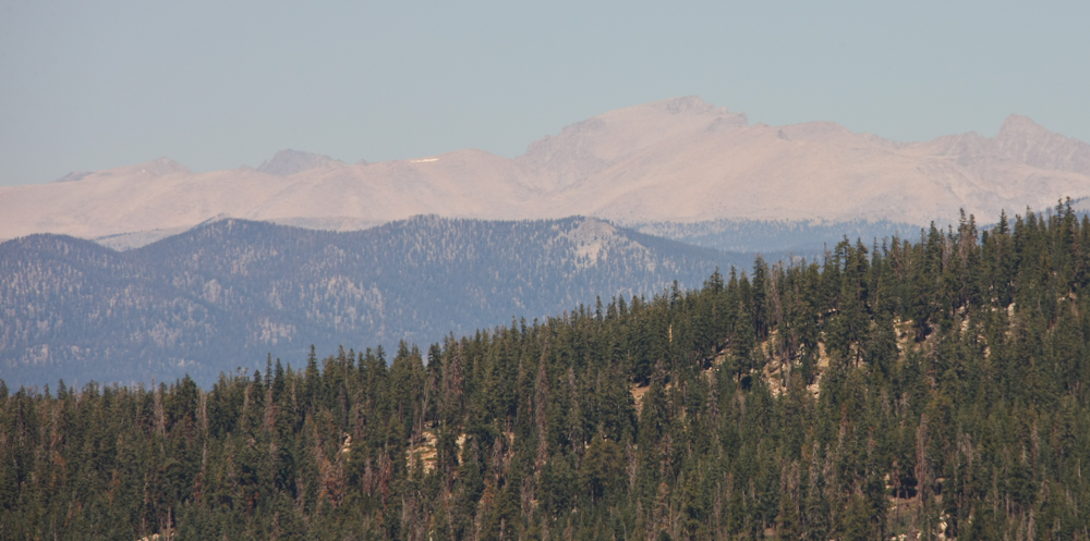
Another view of Olancha Peak.
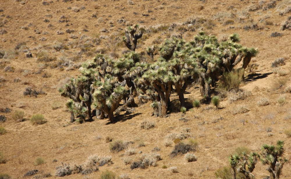
We spent the night at the Forest Service camp at Troy Meadows. Again, since we arrived after Labor Day and during the week, we had the whole place to ourselves which was a pleasant change. Since we were at about 8500 feet altitude, it was rather cold at night, but a pleasant change from the head of the central valley. Next morning, we broke camp and resolved to be in San Diego that night. It would be a long, hot day, but sometimes you just gotta'. As we lost altitude on the road past Kennedy Meadows, the terrain turned from pines and juniper to joshua trees. We were back in the real desert again!
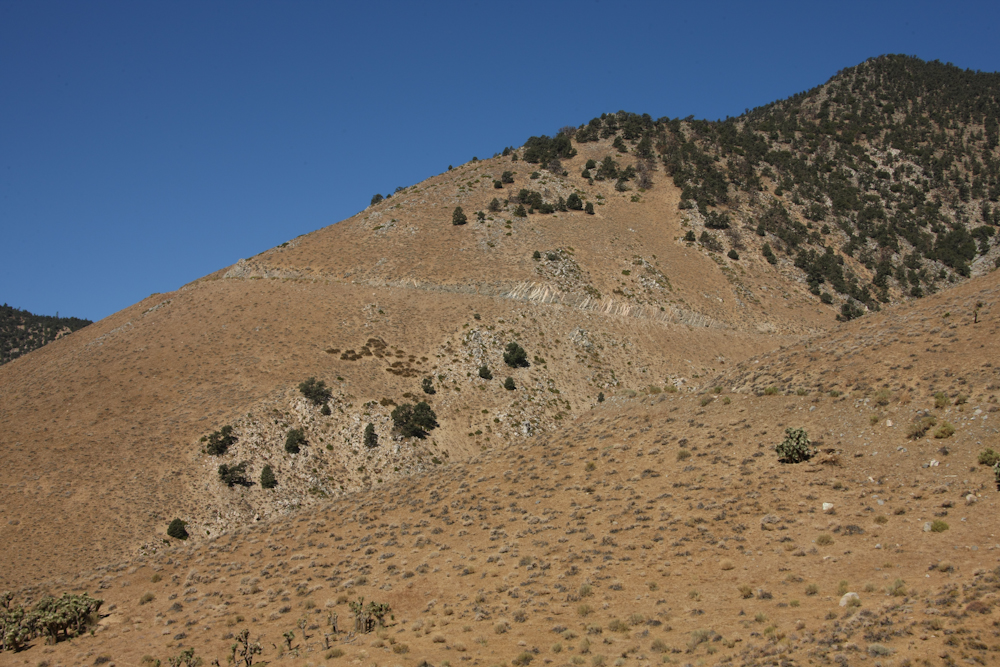
Was the road steep? Check out the photo above and draw your own conclusion.
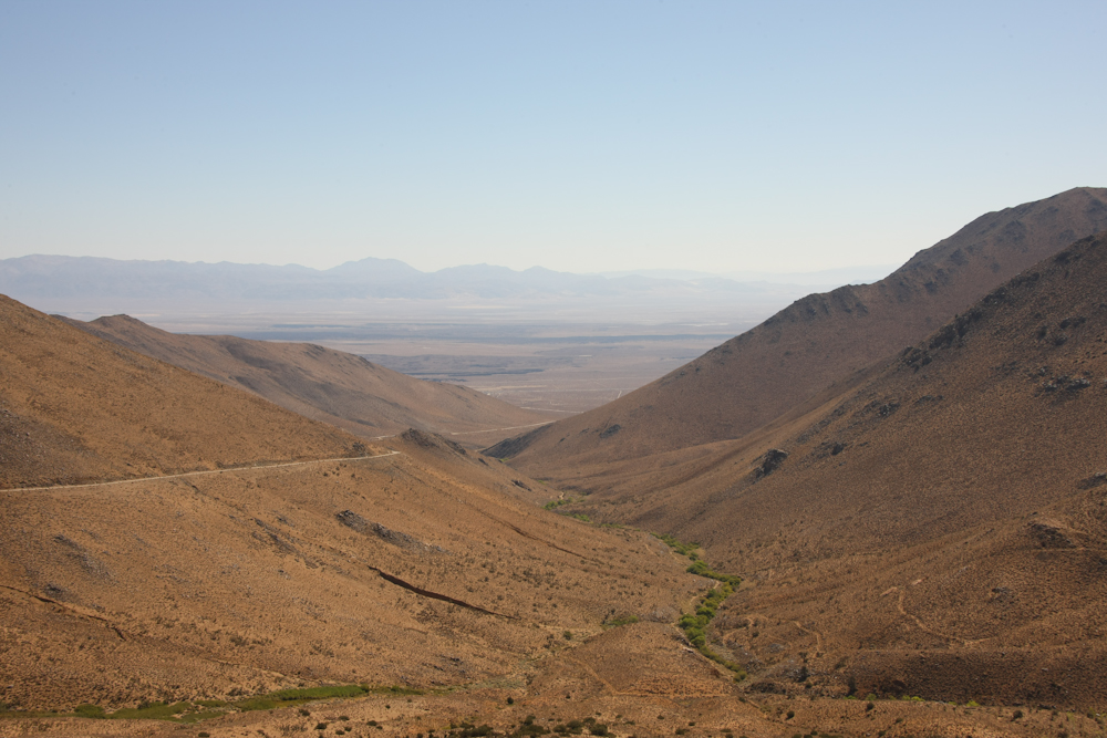
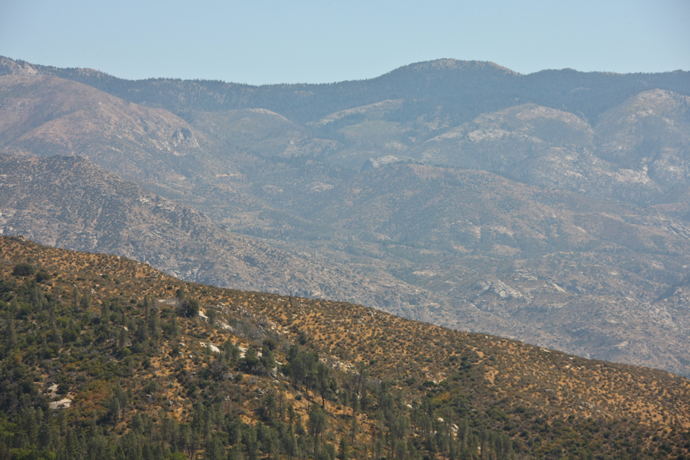
From our position, we could see the Ridgecrest valley, China Lake and the Coso Range in the distance.
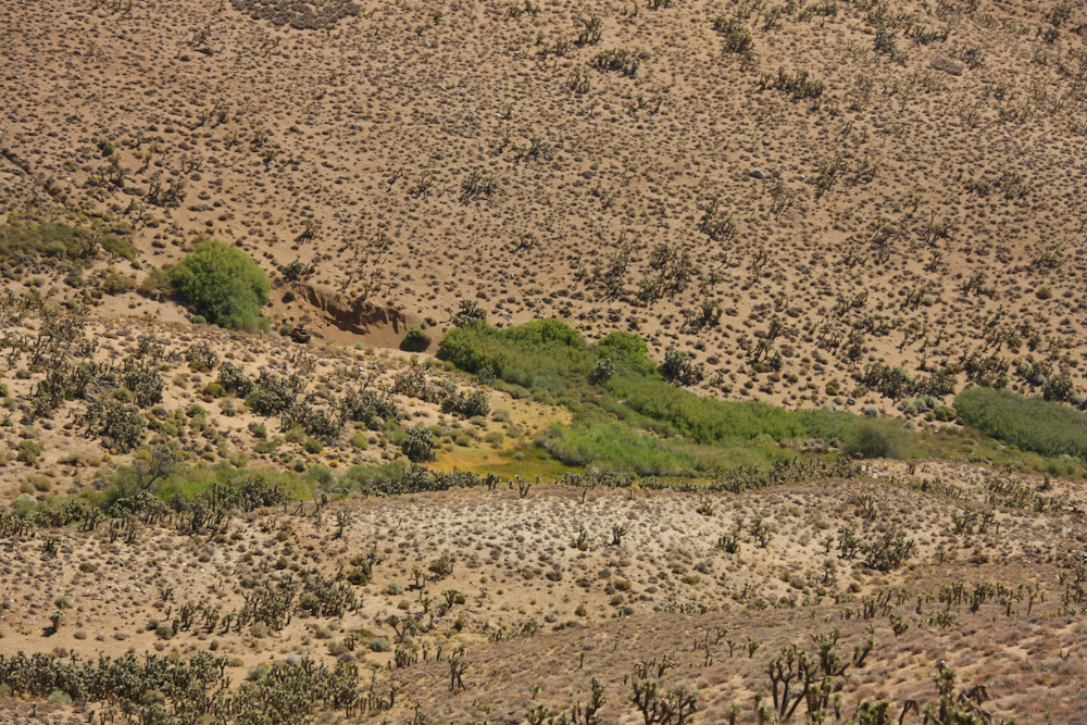
This area is arid. Can you tell where the water is?
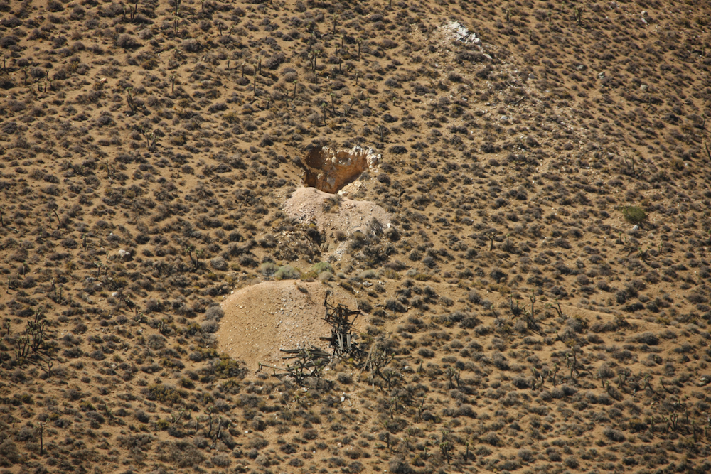
Some of the sides of the mountain had exploratory mines that, based on the size of the tailings pile, came to nothing.
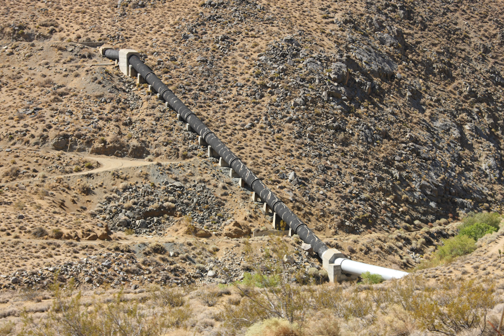
On our exit from Nine Mile Canyon AKA Kennedy Meadows Road, we crossed one of the most important structures in the area -- the Los Angeles Aqueduct. As it turns out, they built a second leg to the aqueduct in the '70s, so we crossed two of them on our way to U.S. 395. The photo above shows the original pipe from the 1913 construction effort.
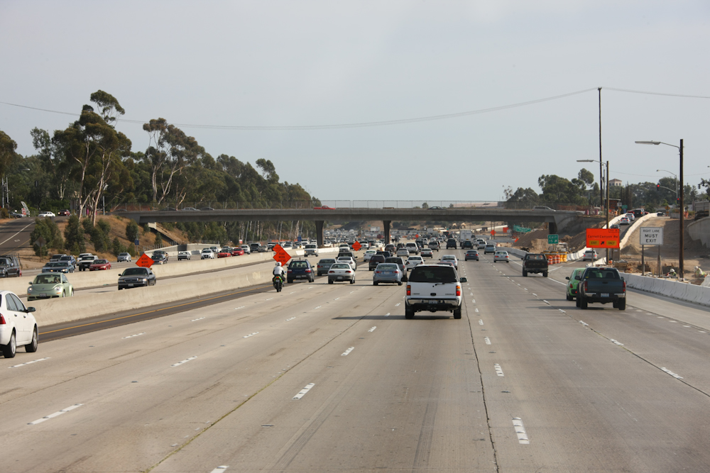
Ah, back to civilization as some call it. The trip over the LA basin was not all that bad, but it was quite hot; over 105 degrees. We were both quite spent by the time we actually parked in the driveway.
This was an awesome trip. While we did have some mechanical challenges, the weather was nearly perfect for the entire duration of the trip. We had almost no rain, but there were some quite warm days. For summary statistics on the trip, see the trip home page.
| Previous Adventure | ||
| Trip Home Page |
Photos and Text Copyright Bill Caid 2009, all rights reserved.
For your enjoyment only, not for commercial use.