We thought about leaving Skagway on the ferry and doing the inland passage, but I had spoken with several folks and they said that A) it was pretty boring; B) it was mostly at night and therefore there was not much to see; and C) it was expensive, but faster than driving. Since we were not on a budget and had already ridden the ferry, we elected to drive. From Skagway, there is only one way by road and that is north back into the Yukon and British Columbia. So, we broke camp and headed north again.
The photos below are what we saw.
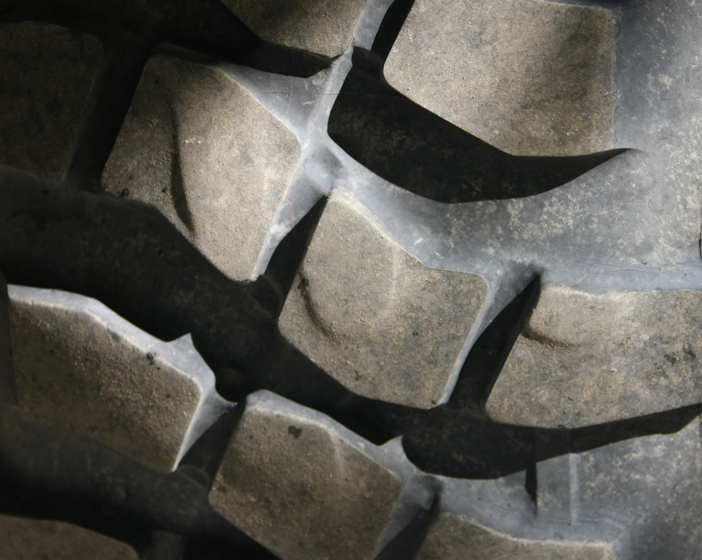
My tires have been cupping. You can see what that means in the photo above. I have tried both higher and lower air pressure, but have settled on about 38 psi cold as the correct amount. I arrived at this number several ways. First is the scaling from the weight limits on the tire. Second, and more importantly, is minimization of vibration at about 90 kph (55 mph) which is our desired velocity. I think that the front end of the mog is tired and promotes the vibration. Some repair actions will be required, I am sure. I am also sure that this set of tires will be toast by the end of the trip.
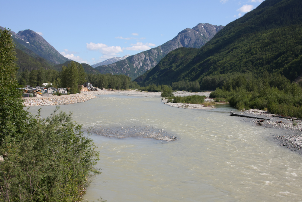
On the way out of Skagway, we crossed over the Skagway river and could see the mountains to the north on Chilkoot Pass.
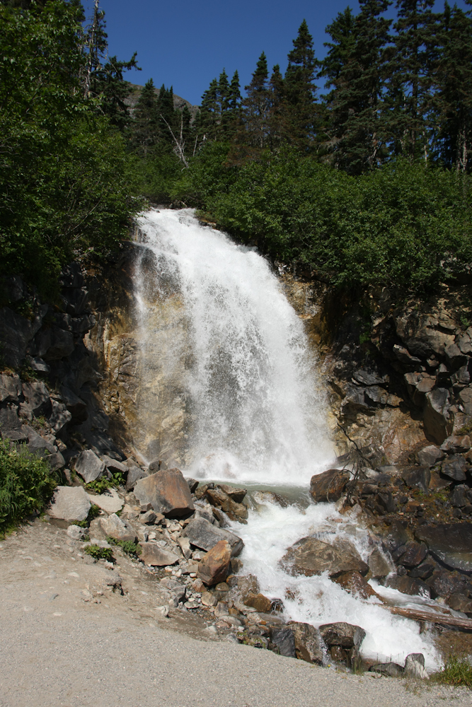
One of the pull-outs was right next to a nice waterfall. We saw this fall the previous day from the train and it was identified as Bridal Veil Falls (not the same as the famous falls in Yosemite NP in California).
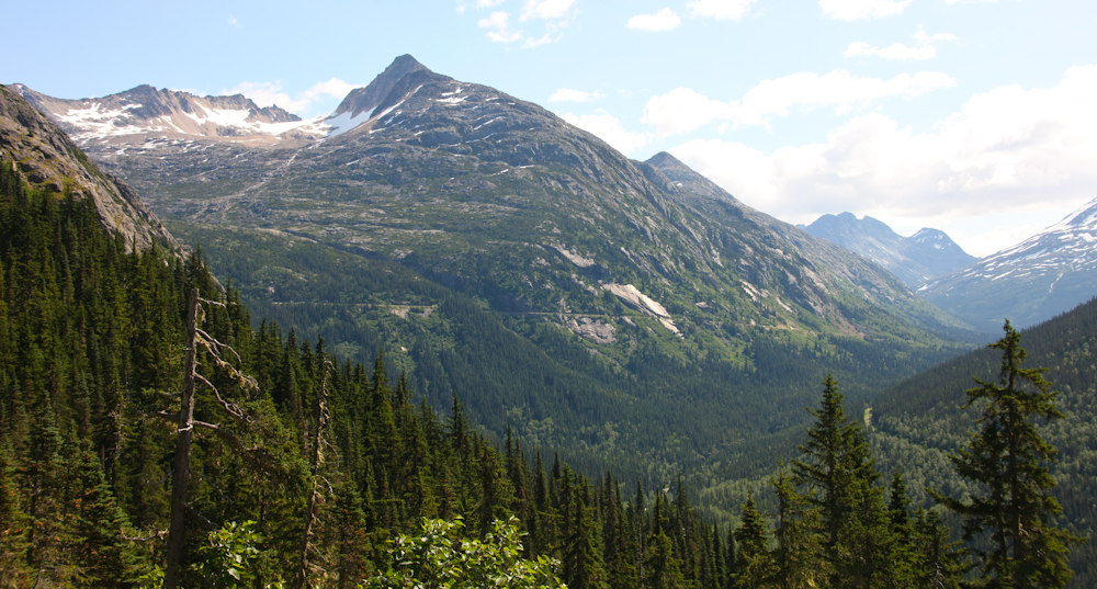
Looking to the east from the falls, the railroad grade is visible on the far mountain side.

Further up the pass we encountered more glaciers.
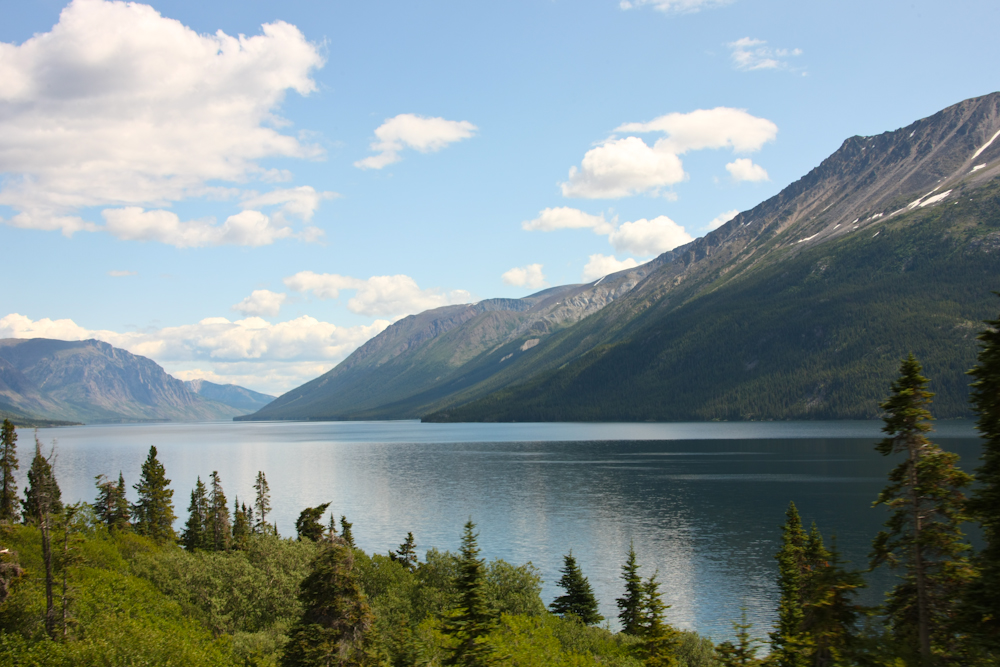
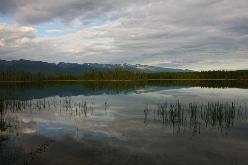
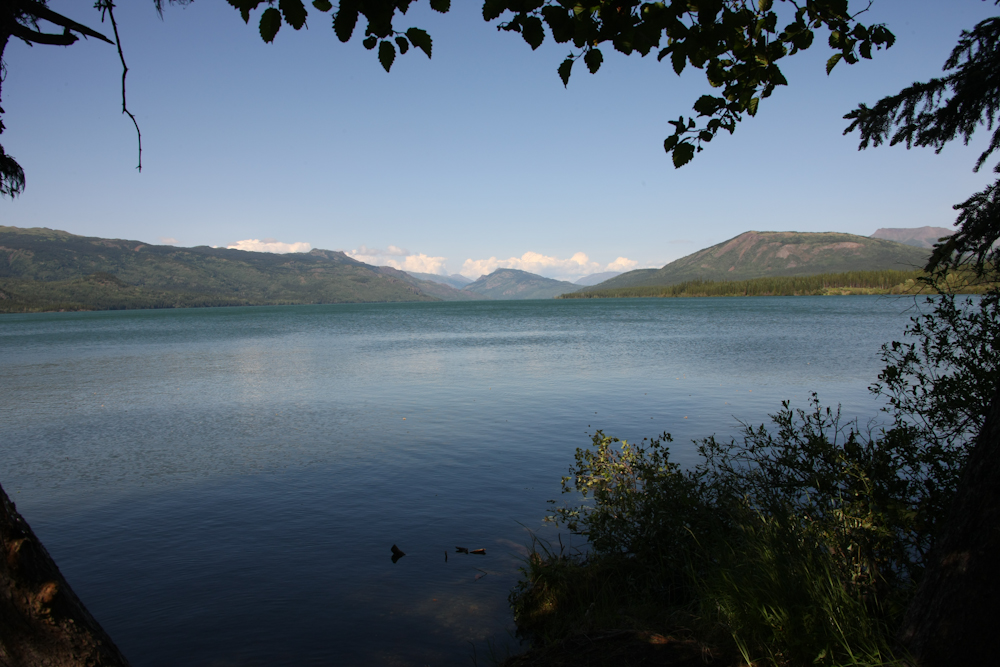
We passed several very large lakes that ran for miles.
The lake was right on the path of the miners headed for Dawson City, YT.
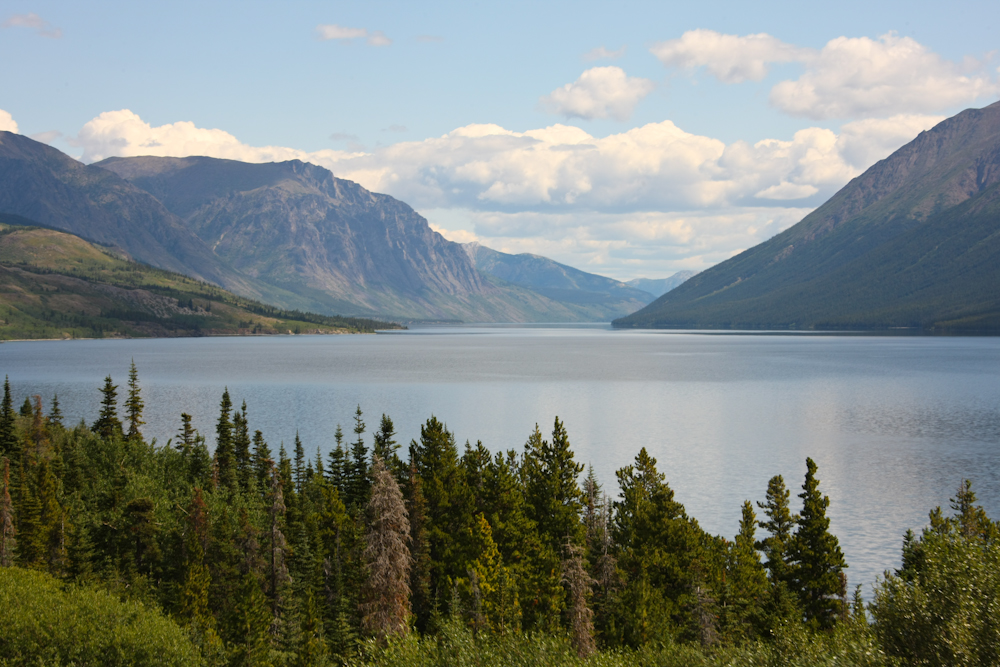
The lake eventually drains into the Yukon River. This area was first explored by an Army officer in the 1890s as part of the survey of the Yukon River drainage, this despite the fact that the land was in Canada, not the U.S.
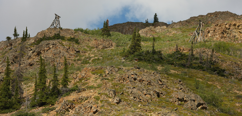
There were a lot of old mines in the area. Above, you can see cable-way towers left over from the mining activity. This bucket way was used to bring ore from the mine to ships that operated on the lake.
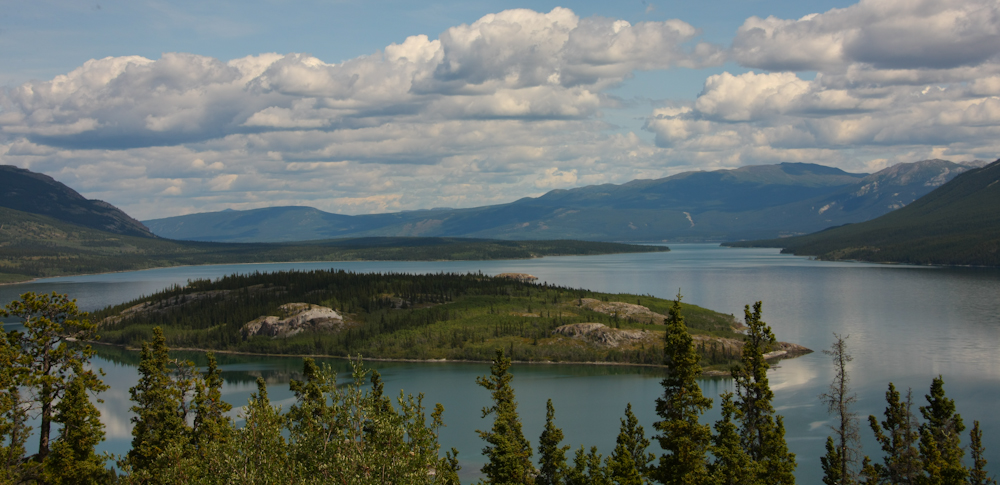
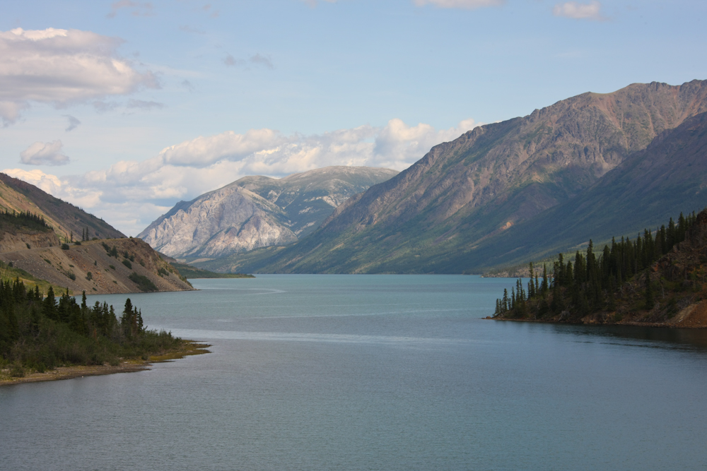
The lake also had a large island in the middle of it.
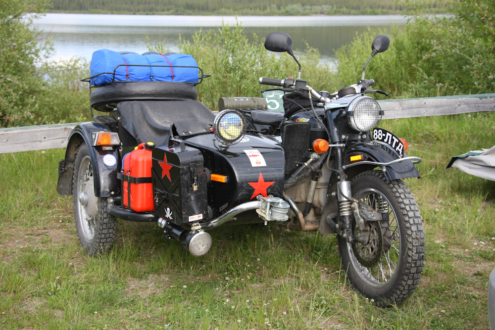
We continued south to Teslin, YT and stayed in an RV campground so we could shower and fill our water tanks. The shot above is for my buddy Kai who also has a Ural. This fellow was from Edmonton, AB and given the winch on the front, has seen a few problems off road.
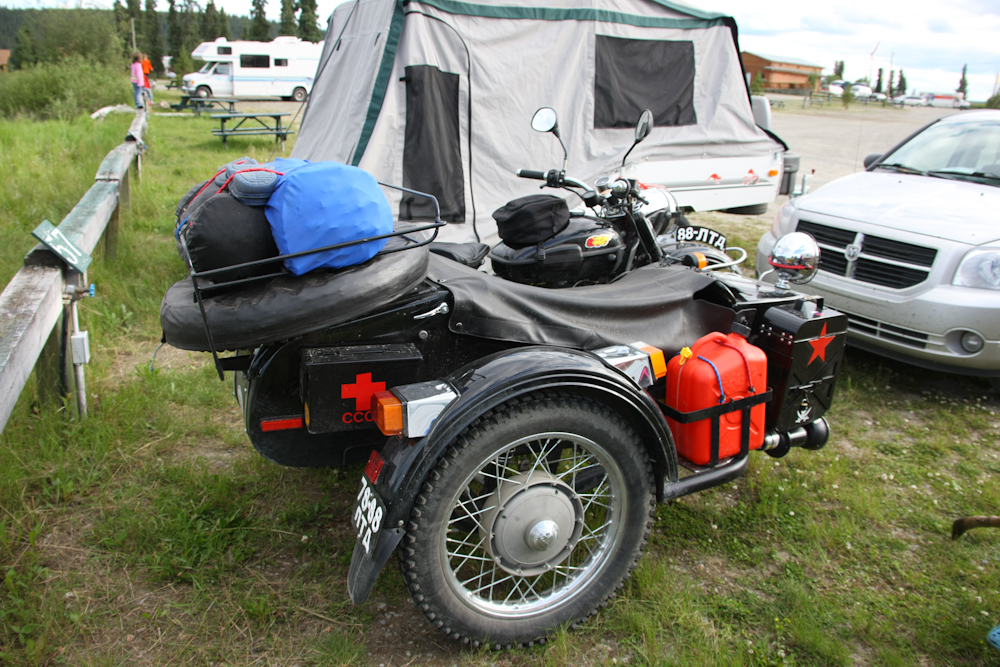
He has a lot of stuff bolted to this bike.
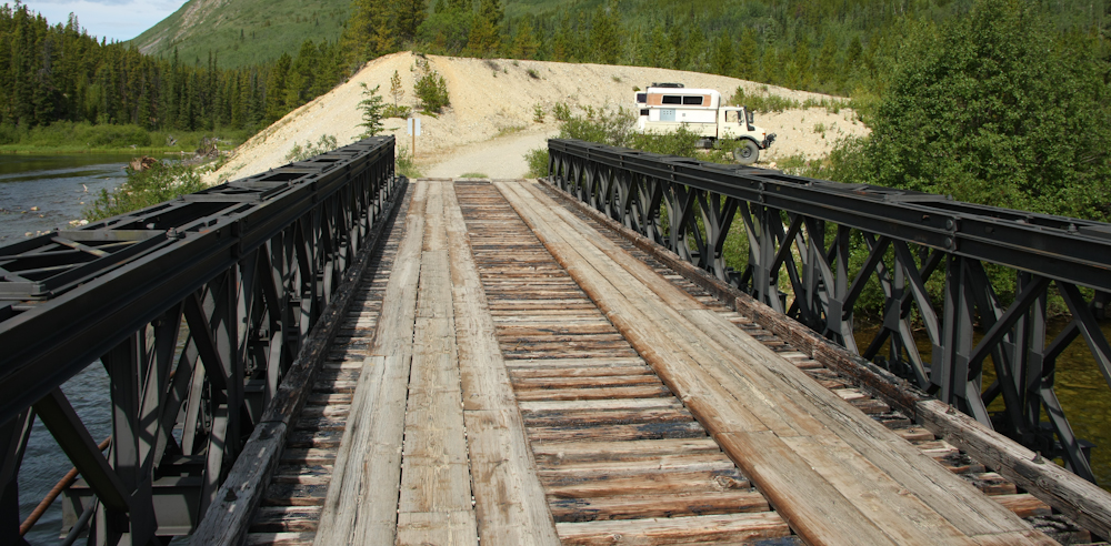
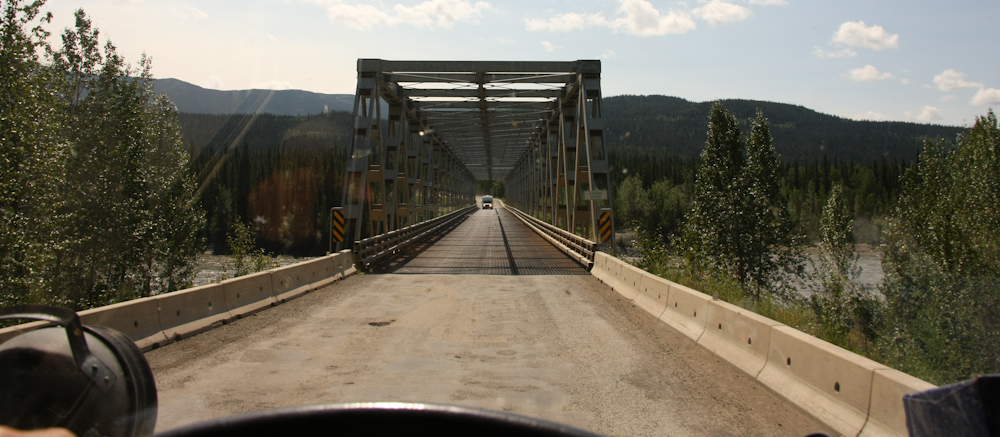
Next day, we left Teslin and continued south. During the middle of the day, we stopped for lunch on a side road that was unmarked. I followed the path for awhile and came upon this bridge. The bridge is made of pre-fab components, very much like the old Bailey bridges we used to assembly when I was in ROTC for the Army Engineers. This is a double-single configuration, as they can be stacked width-wise or height-wise or both. You can even build railroad bridges with these components.
We left the main Alcan highway and turned south on the "Stewart-Cassiar" highway. We continued south until we hit Boya Lake and stayed there for the night. The calm waters provided nice reflections of the mountains beyond. Nice scenery notwithstanding, Boya was off the charts on the bug scale. We installed a mosquito canopy INSIDE the camper cabin and in the morning there were perhaps 500 of the little beasts in the cabin. They had somehow found a path inside. We later discovered that one of the screens had come unseated, leaving a wide gap for the bugs. If it were not for the canopy, we would have been drained dry by morning.
One of the many narrow bridges that we had to cross on the Cassiar highway.
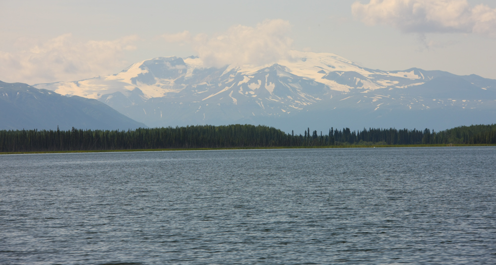
Further south from Boya, I saw a sign for another recreation area, so I took the dirt road without knowing what was there. The road dead-ended in the lake, but there were great views of the mountain ranges beyond.
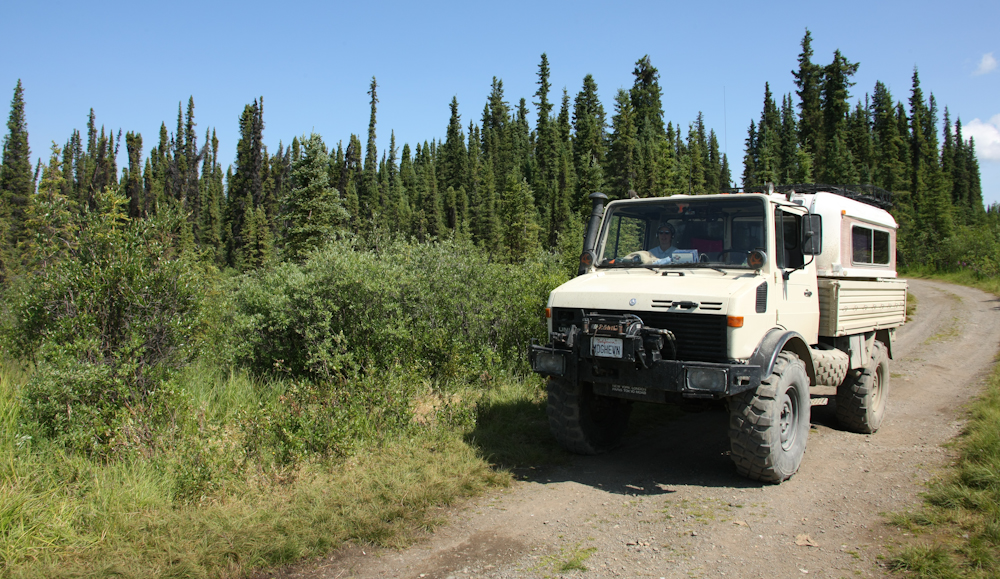
I had to capture the mog while we were at the water's edge.
From there, we continued south on the Cassiar highway to Lake Kinaskan where we spent the night. The shot above was taken from the back porch of the camper. The camp site was nice, but also very buggy. We put the mosquito net up again and were better about sealing the camper cabin and no real issues with the bugs until we came out from the net in the morning. This time, there were dozens in the cabin, not hundreds. But, our electronic hand-held bug zapper made short work of the little pests. There is nothing like the thrill of watching the bug sparkle and pop as the current vaporizes his body (containing, I am sure, some of YOUR precious bodily fluids).
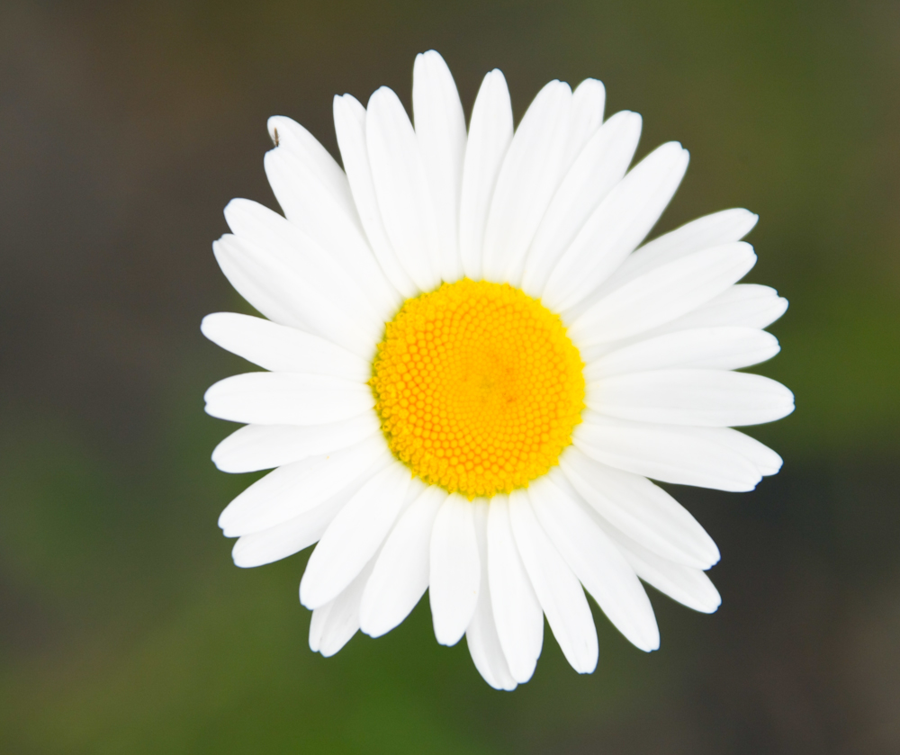
Some of the local flowers looked pretty nice.
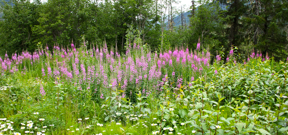
The Fireweed looked great; there was plenty of it on the sides of the highway.
The trip out of Skagway was very scenic and worth the drive if you are in the area. But, beware the insects. Even large amounts of bug spray will not keep them fully at bay. The mosquito netting is a requirement, even inside your camper, unless you like waking up and swatting them in the middle of the night.
| Previous Adventure | ||
| Trip Home Page |
Photos and Text Copyright Bill Caid 2009, all rights reserved.
For your enjoyment only, not for commercial use.