We had a good night on the ridge. The wind finally died down after sunset, but it was still to windy to have a camp fire. So, we just went to sleep. The plan for the day was to head south along a hog back structure called "the Cockscomb" and head into Page, AZ for supplies. Then, we would head north from Page on the north side of Lake Powell into the Grand Staircase. The photos below are what we saw.
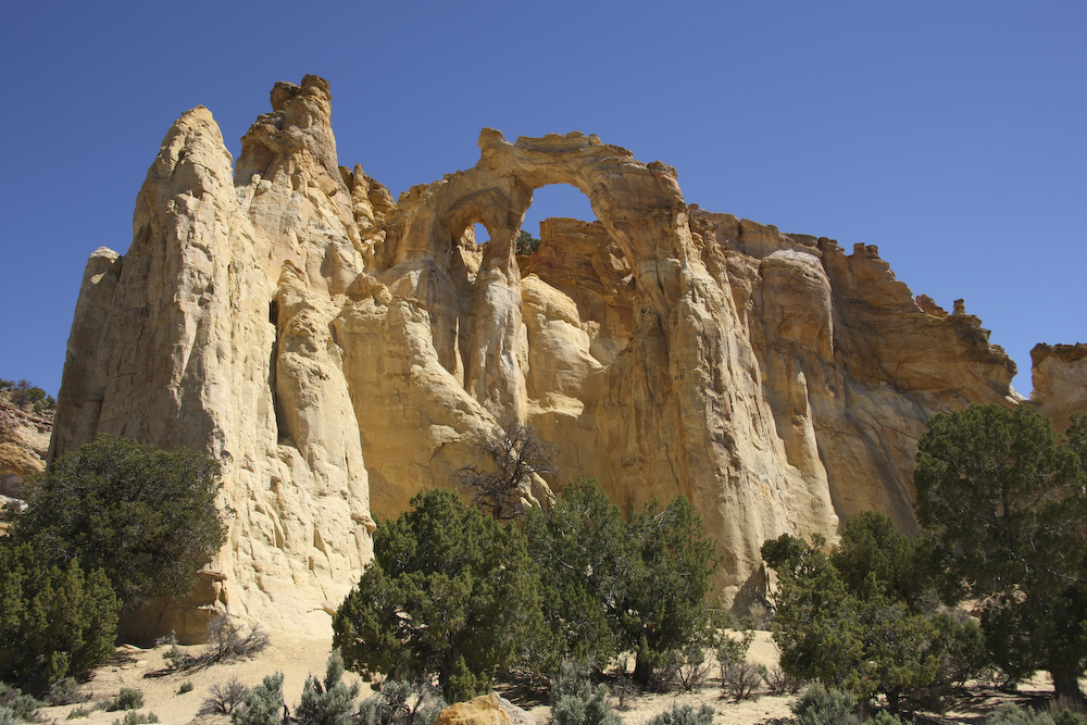
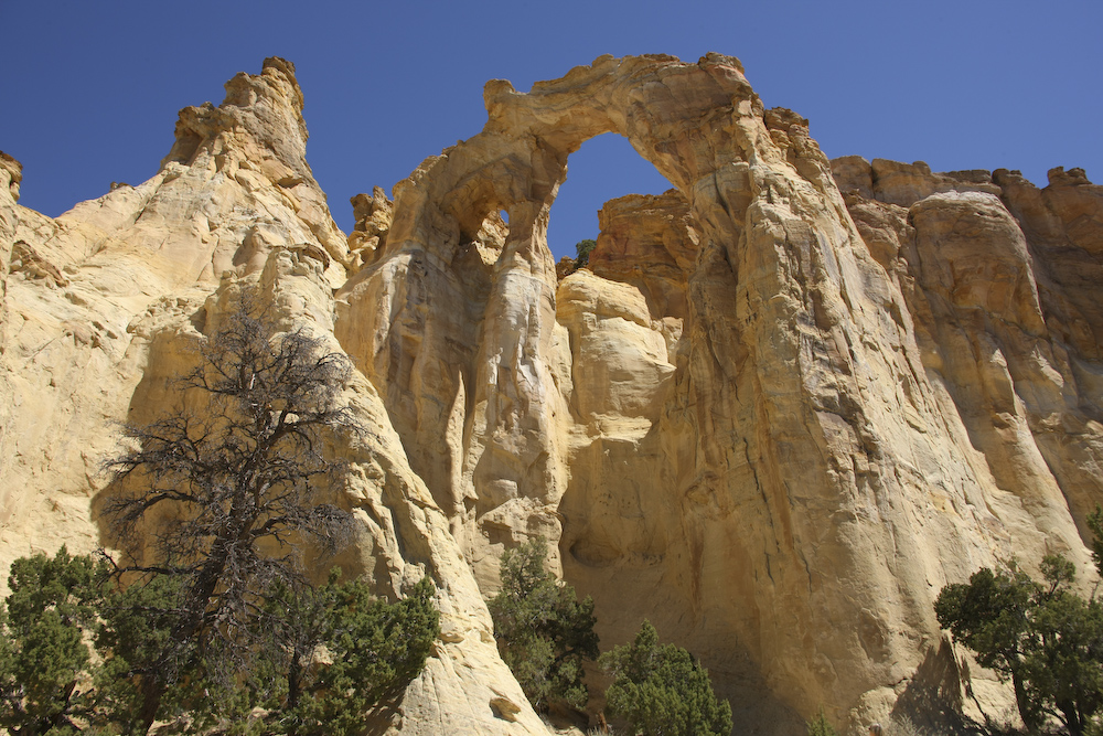
A few miles down the road from our camp was Grosvenor Arch. This is a double arch, and as such, reasonable rare.
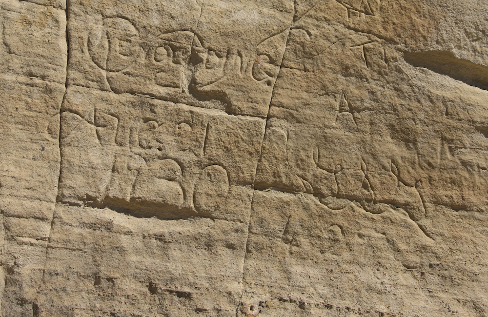
Any graffiti is bad, but you have to admire a bit of class shown here. Plus, in 1930 getting here was a non-trivial adventure.
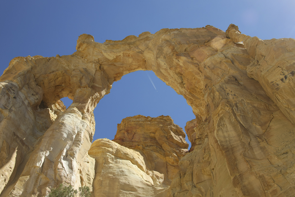
A contrail of a jet transects the arch.
This arch is tall, but unlike some, you can walk right up to the base of it.
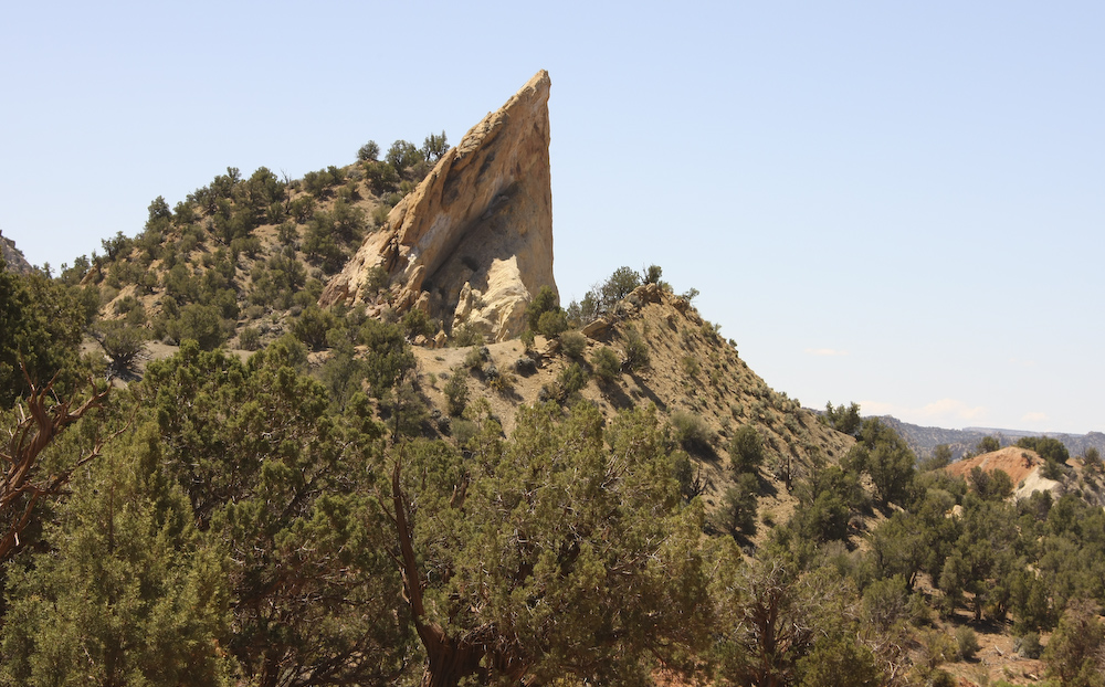
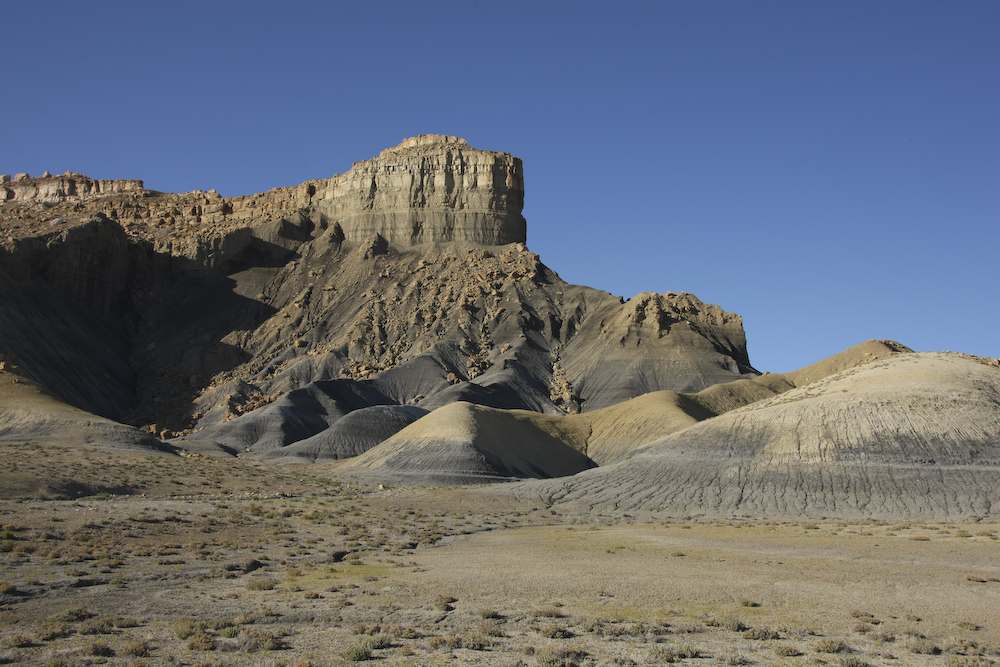
From Grosvenor Arch, we headed south down Cottonwood Creek along a 20 mile long structure called "the Cockscomb". This structure is a hog back that results from erosion along a monocline. Above, you can see the more resistant strata rising above the balance of the rock. The angle of the bedding is steep, perhaps 70 degrees.
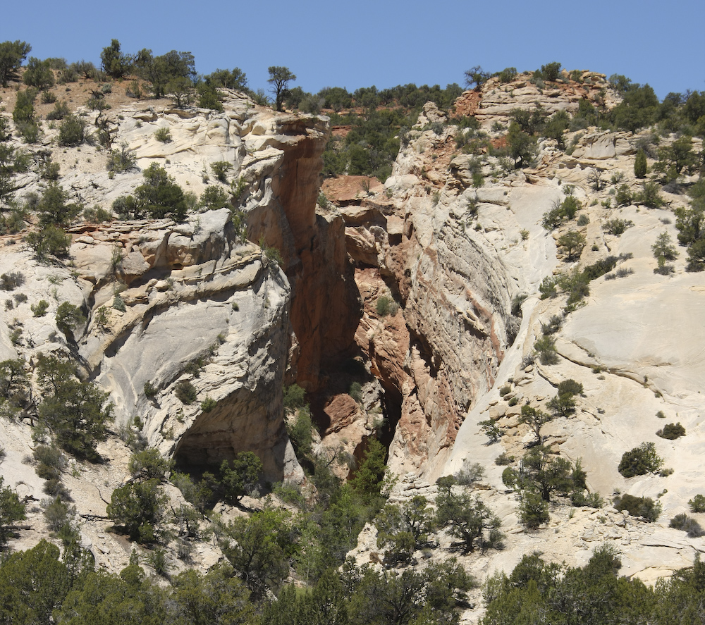
When the erosion rate of a stream is as fast, or faster, than the uplift rate, the stream will cut narrow canyons like these. Here, the stream held its course while the rock underneath it rose resulting in a side canyon through the hog back structure.
It has been 20 years since I had been through this area, but I was bummed to see that there were power lines. The need is clear, but still the view is disappointing.
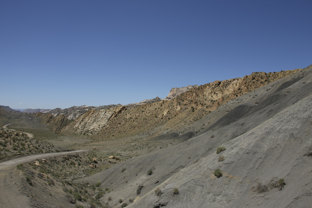
Looking north along the Cockcomb, the nature of the hog back and uplifting become obvious.
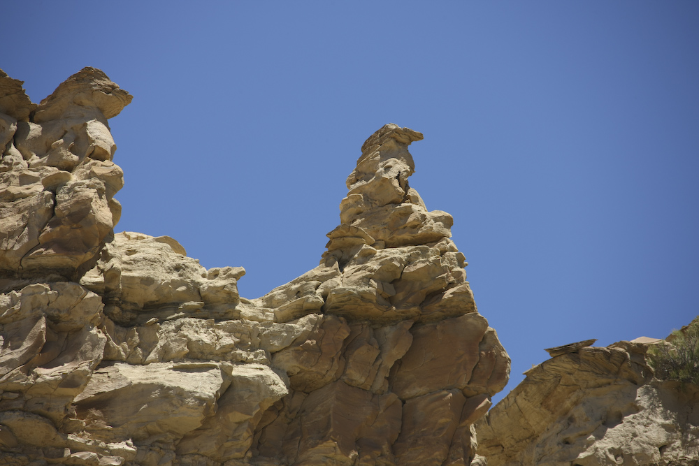
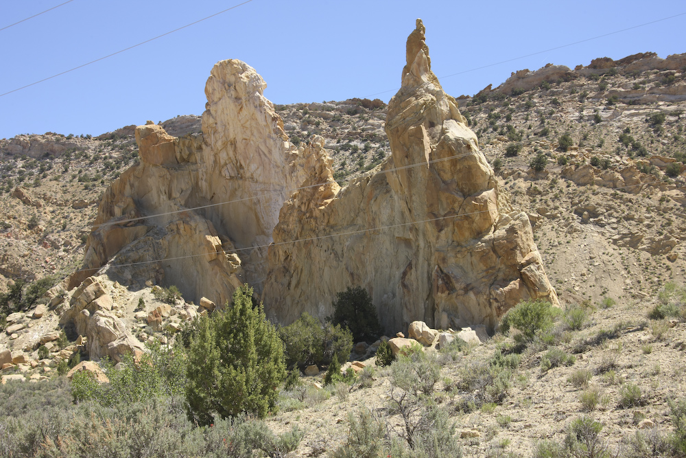
There were interesting erosion patterns in the cap rocks along the hog back.
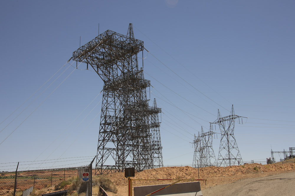
From awesome works of nature to awesome works of man. This is the main power transmission center for the power generated at Glen Canyon Dam. These lines feed most of the western U.S.
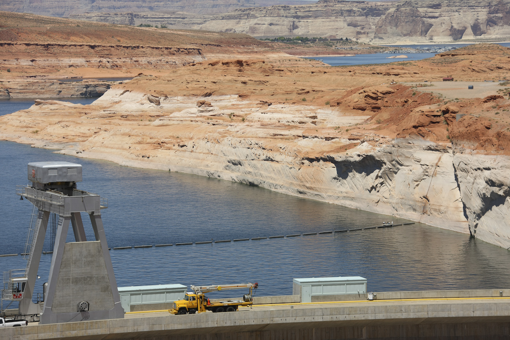
The water in the lake is more than 150 down from "full pool". Only 100 feet remain before the power generation capability must be shut down. The previous high water marks are obvious on the canyon walls.
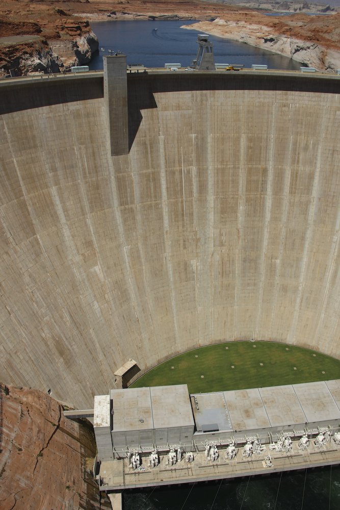
This is one big chunk of concrete. Actually, the individual "pours" can be seen as the blocks that comprise the face of the dam.
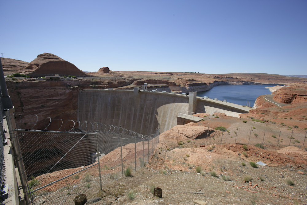
A wide angle shot from the south side of the river.
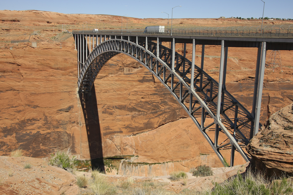
The highway bridge that spans Glen Canyon on US 89.
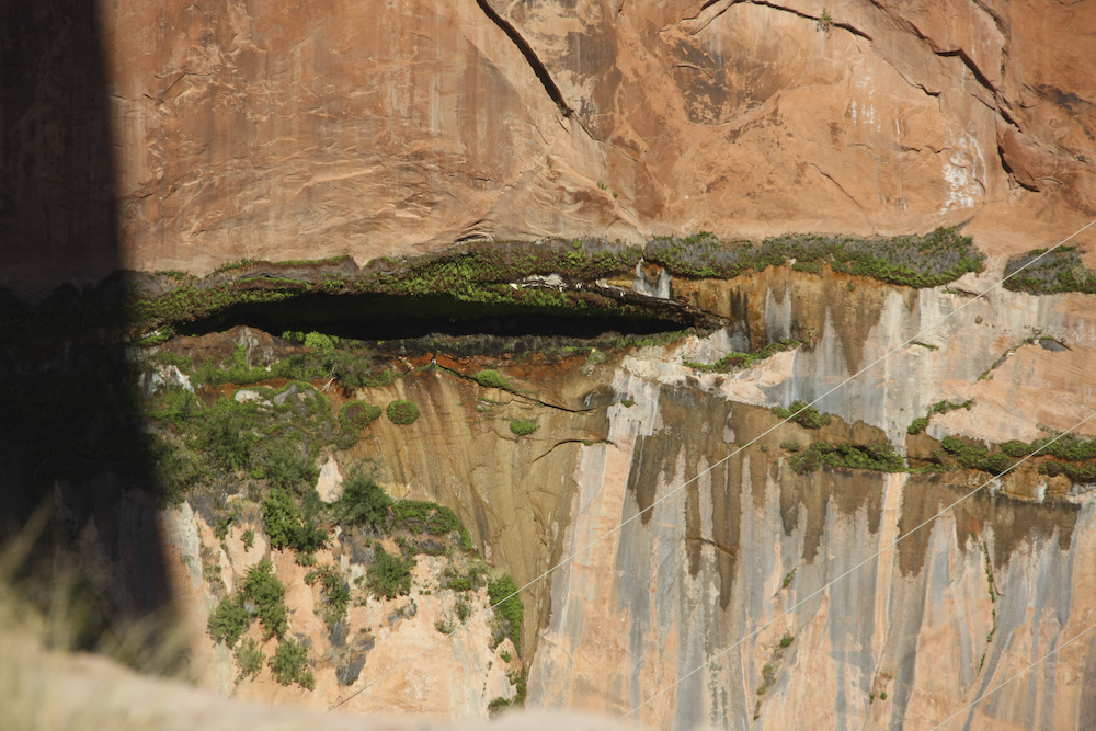
An interesting side effect of the dam was the water that was forced into the layers in the sandstone. Just downstream from the dam is a seep about 1/2 way up the canyon wall. The official story is that it has not weakened the structural integrity of the dam, but one has to wonder.
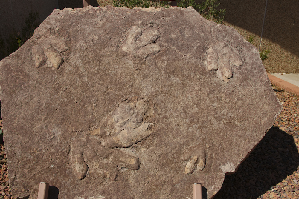
These dinosaur tracks in the local sandstone were on display at the visitor's center at the dam.
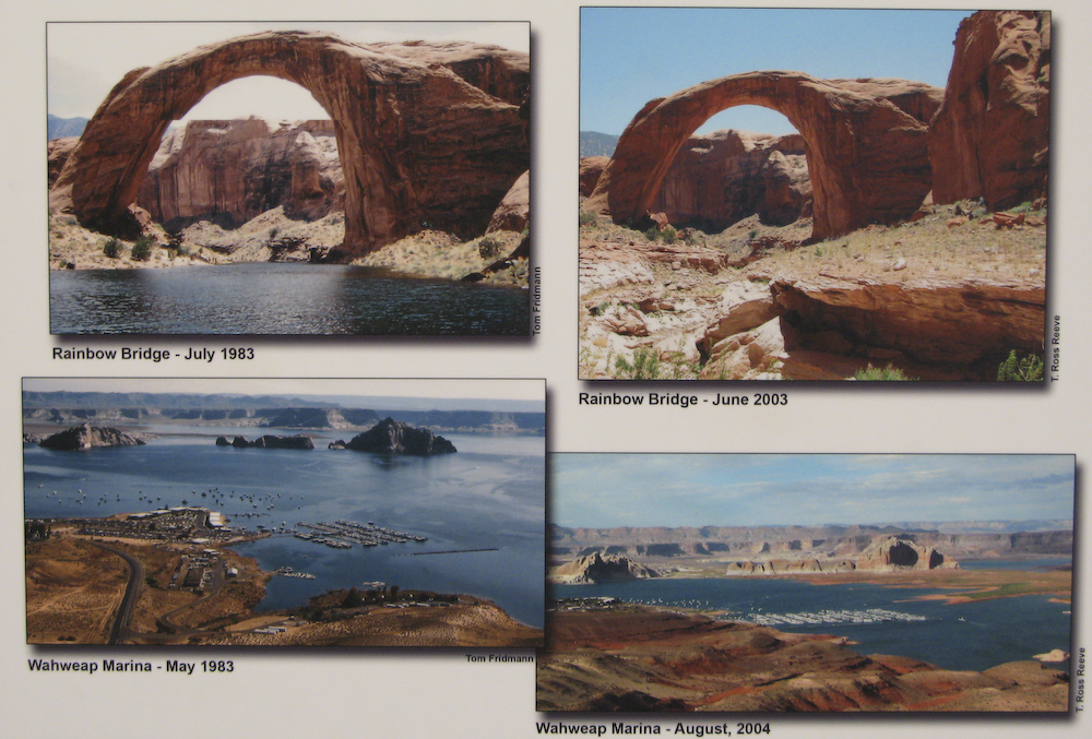
I mentioned on the Lake Mead page that the whole region was in the midst of a long-term draught. These shots of the lake at the Glen Canyon Dam Visitor's Center pretty much tell the story.
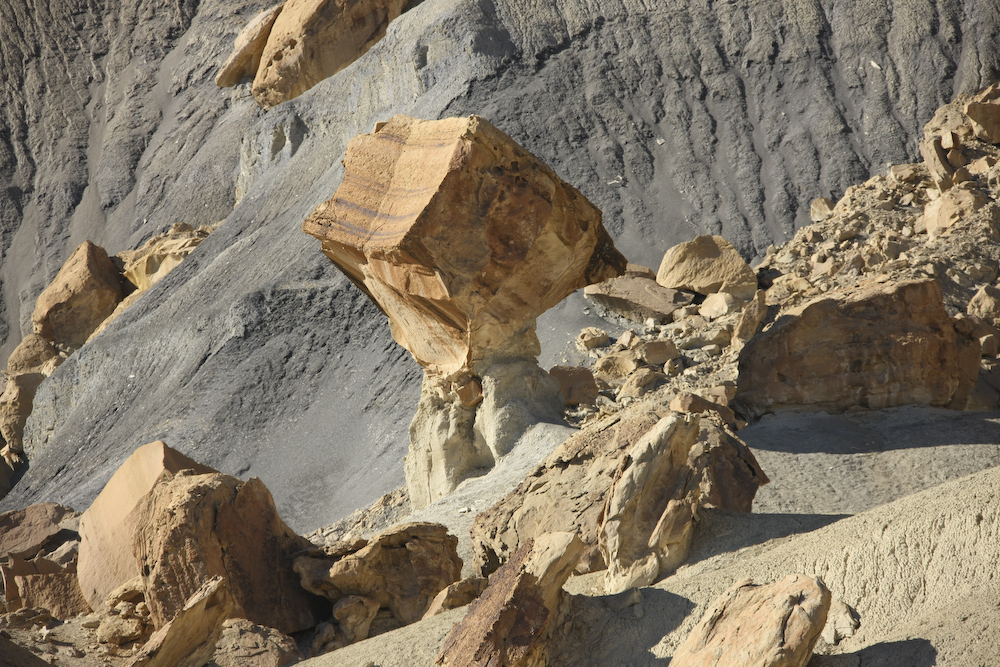
After a re-supply in Page, we headed back over the bridge to Big Water, UT, then east toward the Grand Staircase. Along the way, we passed this balanced rock. It is a piece of harder cap rock that had broken off and fallen to the valley floor. Then, the softer strata was eroded from underneath it resulting in its current position.
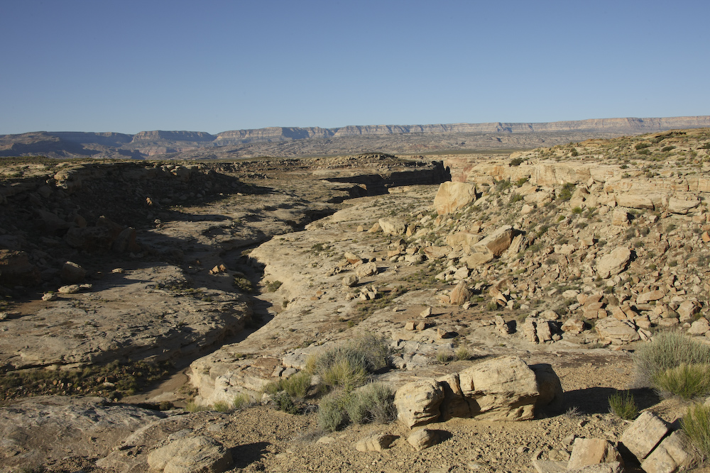
Buttes visible from the Warm Creek trail.
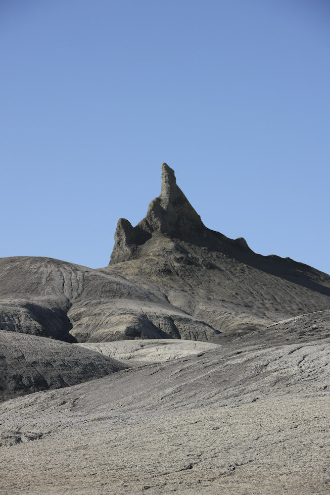
The dark colored strata is much softer than the other rocks but can still produce interesting patterns when it erodes.
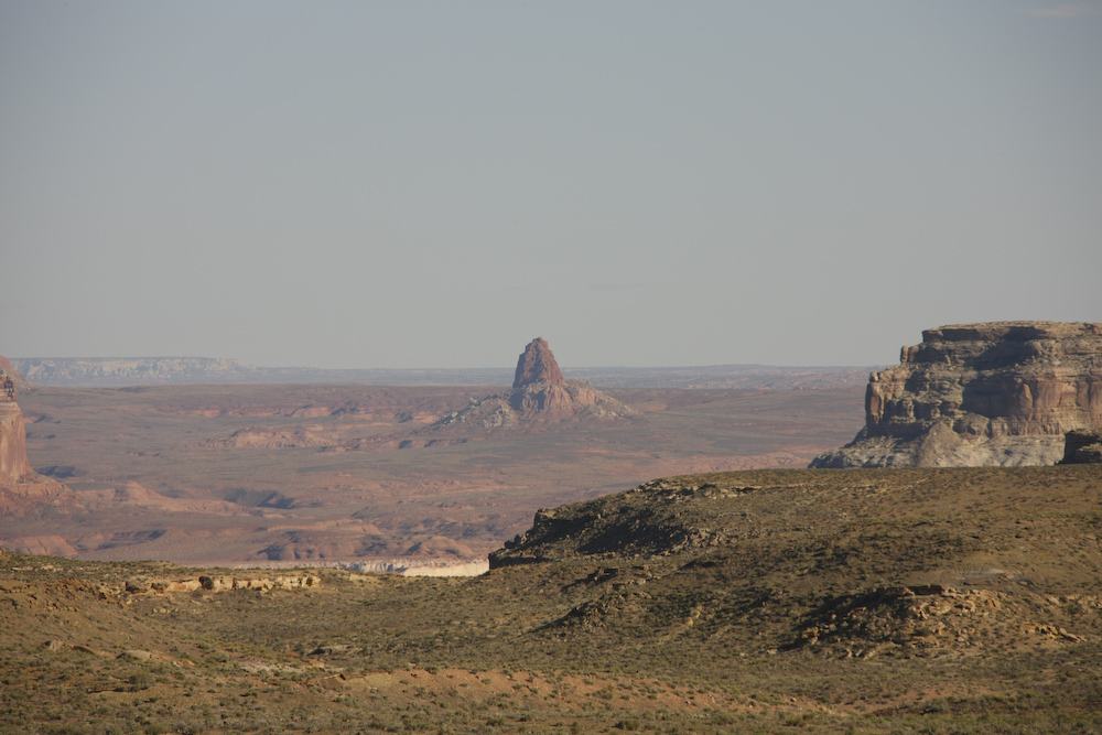
Tower Butte on the south side of Lake Powell.
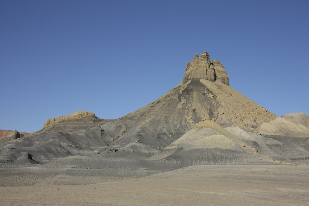
The dark colors are western lignite low-grade coal.
The view from our camp site on the rim of the canyon.
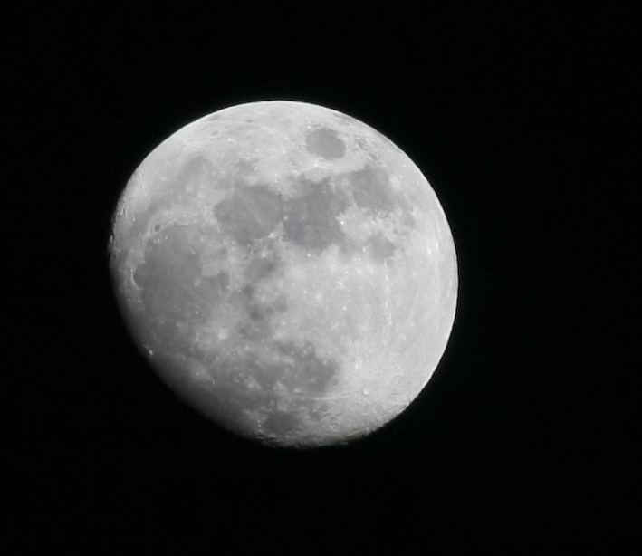
Each night, the moon was a bit fuller and rose in the east a bit later.
The day was warm, but quite windy. By sunset, the wind had fully stopped and that resulted in different problem - gnats. Gnats in large quantities. Gnats that were in your face, in your eyes, but most annoyingly, in your ears. They won in the end and we retreated into the camper for the night. Tomorrow, we would head onto Grand Bench, one of the most remote areas in the region. And, we would get a lesson in being prepared.
| Previous Adventure | ||
| Trip Home Page |
Photos and Text Copyright Bill Caid 2008, all rights
reserved.
For your enjoyment only, not for commercial use.