We had a great night at Eureka Sand Dunes. Since we were camped on the far side of the dune complex, there was nobody nearby. One we had breakfast and were ready to leave, we headed south toward Steele Pass and Saline Valley. The road had some surprises. In the end, it took us 5 hours to go the 25 miles from Eureka to Saline Springs. The photos below are what we saw.
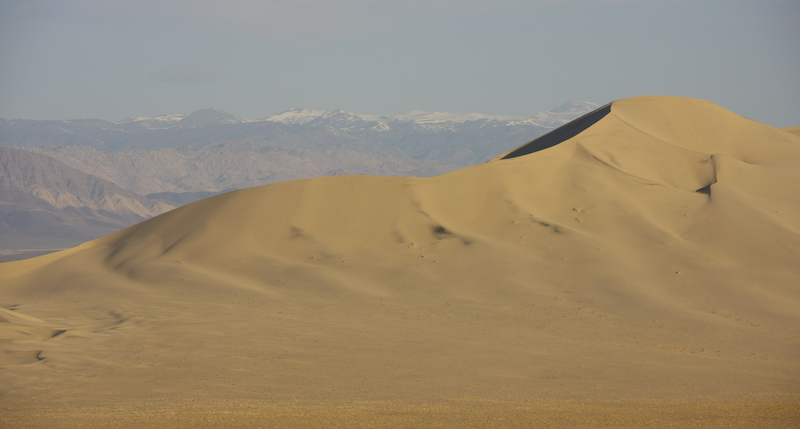
The morning sun fully illuminates the sand dunes and the Sierra Nevada in the distance.
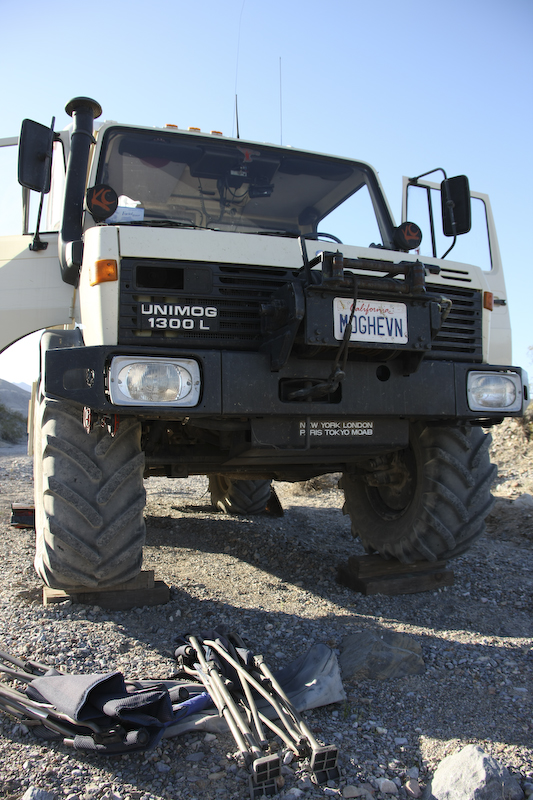
Since the wind was reasonably calm, we had a fire the night before and it was very nice. Above, you can see the wooden blocks under the front wheels to help level the mog for sleeping. Given the grade on the wash, about 8 inches of lift was required to get even close to level. Once we broke camp, we headed south toward Steele Pass.
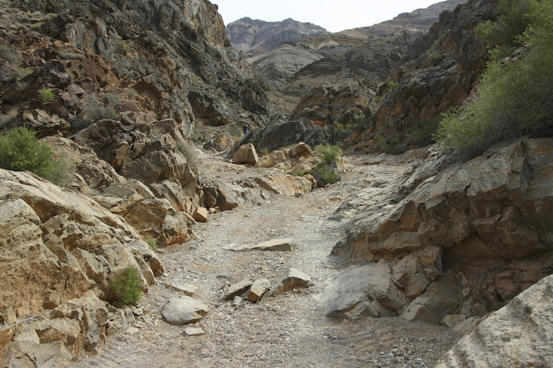
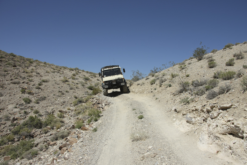
The first obstacle of Steele Pass. This was not hard, you can see the tire tracks in the sand that show my tire placement.
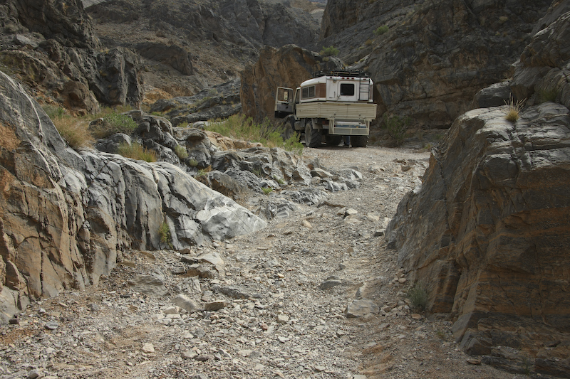
I stopped for a "vanity shot" once we cleared the obstacle. There were several other narrow spots in the trail but none of them were an issue.
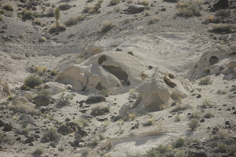
Farther up the canyon these wind caves were visible from the trail.
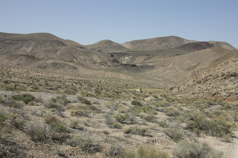
The area in the pass was quite barren. Not much grows here.
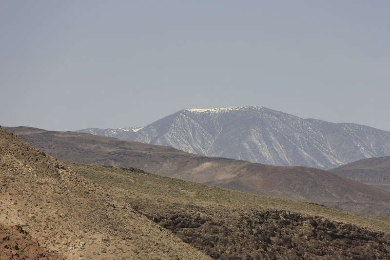
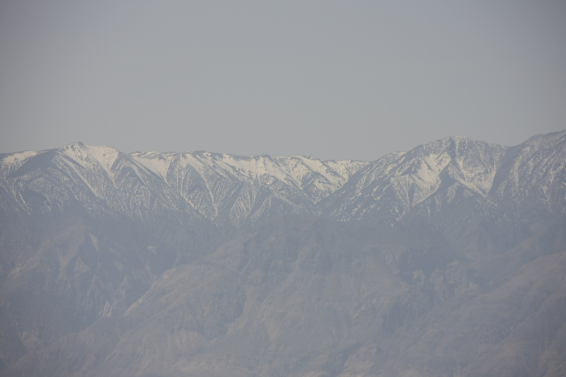
Near the top of the pass, the snowy peaks of the Cottonwood Mountains in the Panamints were visible.
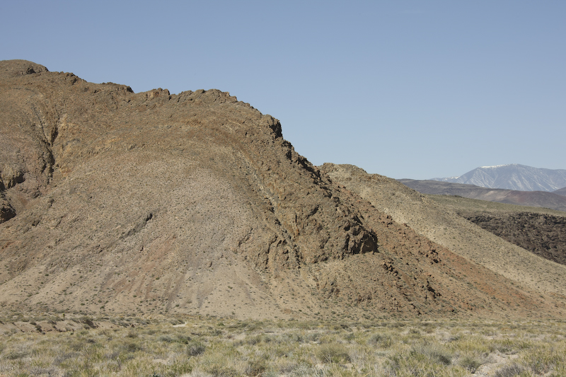
There were a number of volcanic dikes near the trail suggesting the tortured past of this area.
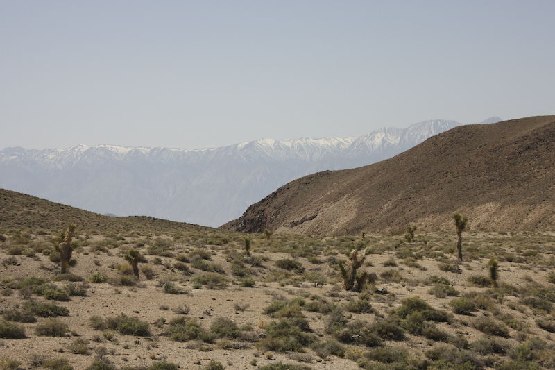
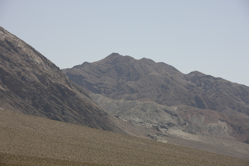
Near the top of the pass, we could see the peaks of the Inyo Mountains to the west of Saline Valley.
There were a number of off-camber portions of the trail. For this stretch, I told Kathleen to get out since she was on the downhill side (which she hates).
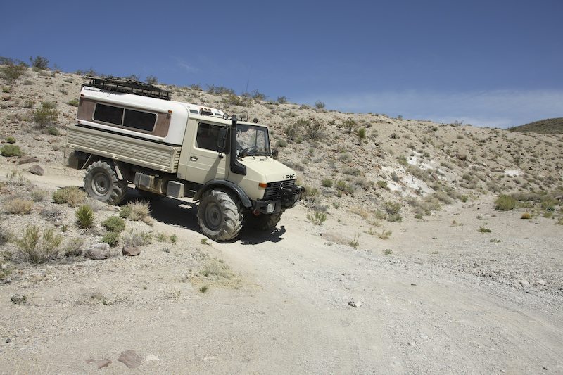
The mog had no trouble with the off-camber parts, but they can still be uncomfortable for the passenger.
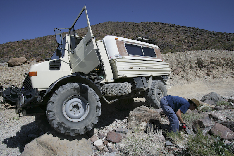
I thought that we were past the point of any substantial obstacles, but the pass proved me wrong. Note that I have a wheel up on the big boulder. To negotiate around the boulder caused the truck to lean into the cliff which put the camper in danger of being "tagged" by the rocks. Since I did not want to punch a hole in the camper roof, we decided to stack rocks to counteract the roll. Here Kathleen assists in putting rocks under the passenger side front and rear wheels.
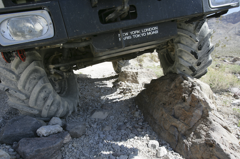
Despite stacking the rocks to prevent the camper from leaning into the canyon walls, exact wheel placement was required to insure that we did not slip off the rock on the right of the photo. We passed the obstacle without any damage to the tires or the camper.
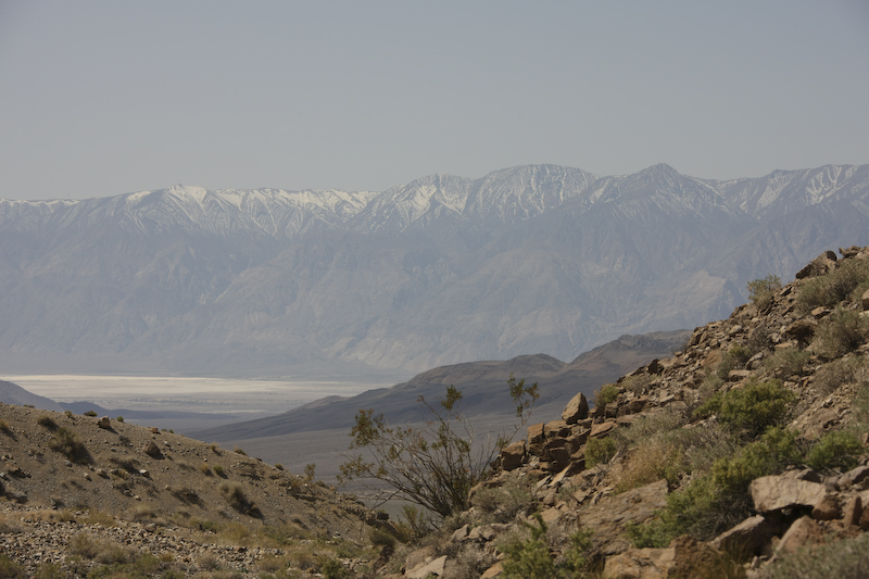
Further down the canyon, we got our first view of Saline Valley.
As we got closer, the Inyo Mountains looked much more imposing than from a far distance.
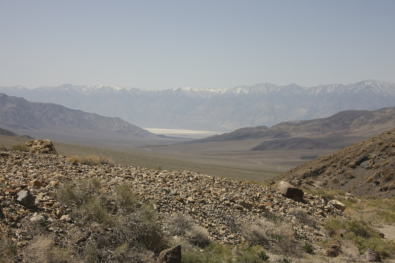
Saline Valley with the Inyo Range in the background provided a dramatic vista.
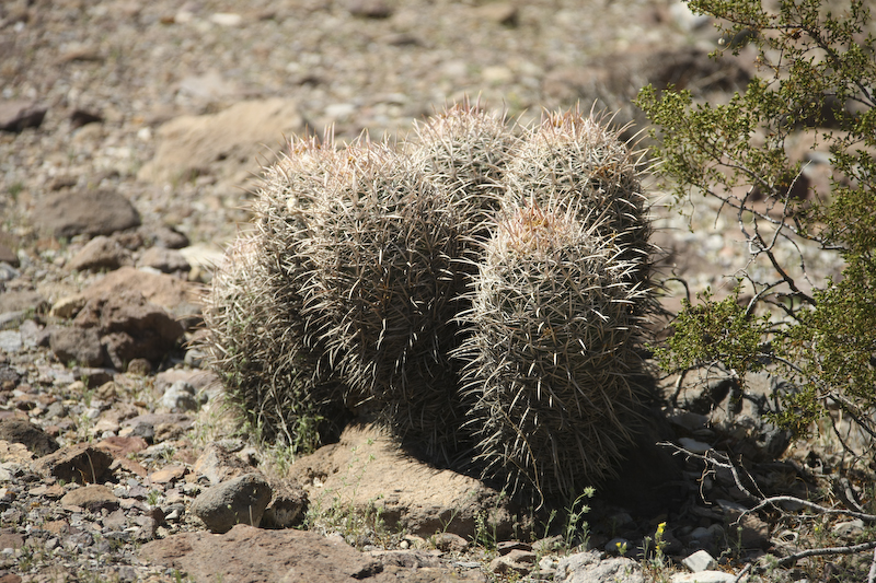
Lower down the canyon, cactus started to appear. None were present on the top of the pass.
The hills of the Saline Range show lots of warping and folding.
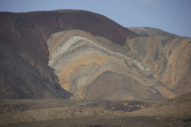
Volcanic ejecta covers a portion of an uplifted area. The colors were vivid.
The path over Steele Pass was one of the toughest that we took and require careful attention and skillful wheel placement on several of the obstacles. The trail was quite rough, so it took us 5 hours to go 25 miles. Once we descended the western side of the pass, the trip into Saline Hot Springs was pretty easy, but still slow. The springs have concrete hot tubs with plenty of hot water. The normal mode for folks bathing here is au naturale, so I did not get any photos. I think the best description is "bohemian". The water felt good after Steele Pass. Setup of the camper was easy, so we made cocktails and headed for the springs. The weather was reasonably hot during the day, but the wind came up at night making it dusty and cold. Our plan was to only stay one night, so we were scheduled to leave the following morning.
The path out of Saline Valley was over 60 miles of wash boarded dirt that required going over the South Pass. The next morning, we heading out of the valley, across the Panamint Range (again), across Death Valley and into Beatty, NV.
| Previous Adventure | ||
| Trip Home Page |
Photos and Text Copyright Bill Caid 2008, all rights reserved.
For your enjoyment only, not for commercial use.