Trip Report: 20070506
We spent all day with the movers and directing their packing of our stuff. They arrived at 0800 and finished at 1800. Once they were done, we returned our keys to the apartment and headed west. The plan was to go to Port Angeles for the first night. That was about a 3 hour trip and required crossing Puget Sound on the ferry. We were going to spend the night in a hotel in Port Angeles, then the next day, tour the northern Olympic Peninsula on US 101. The photos below are what we saw.
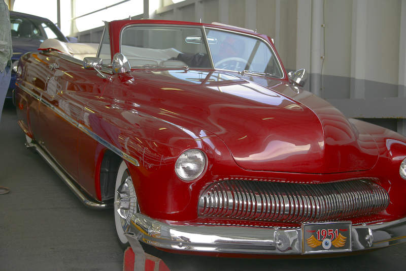
We took the Washington State Ferry from Edmonds to Kingston. This is a standard ferry trip, nothing special. Once we were loaded and secure on the ship, we decided to head to the lounge for a snack. On my way, I passed this most awesome restored 1951 Olds. This fellow did a great job in the restoration. The paint job was flawless. I should let him do my M5 since it has a ton of rock chips from all the Yahoo travel to Santa Monica.
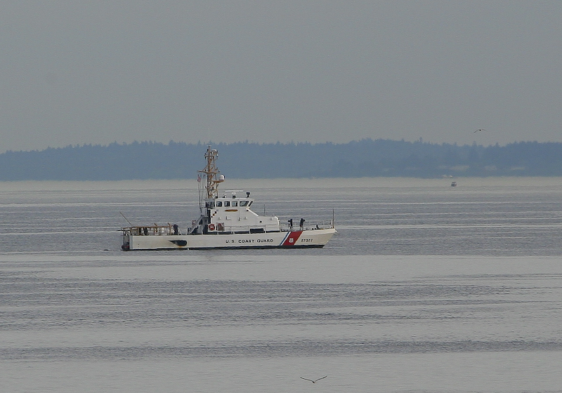
On the departure from the Edmonds port, we past this Coast Guard cutter on station in the Sound.
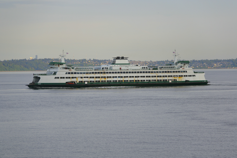
The sister ferry of our ship. These ferries make the crossing many times a day with a crossing time of about 20 minutes. They run like clockwork, rain or shine. That said, I did see a ferry that had engine problems that was adrift in Elliot Bay for nearly an hour. I am guessing that they had air in the fuel lines as they eventually got the engines started and returned to service. But, I am sure that the passengers on that trip were not happy.
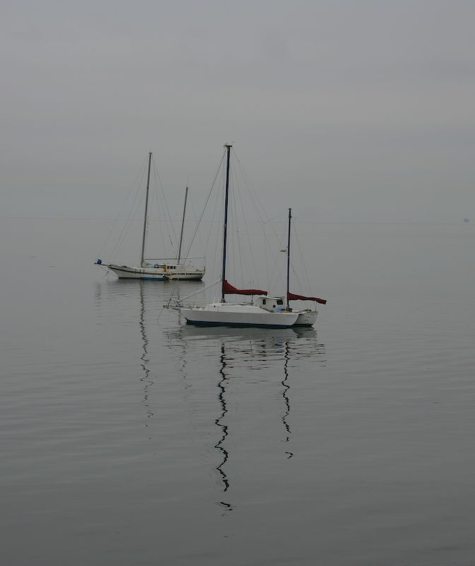
The balance of the trip to Port Angeles was uneventful. We researched the area using the AAA tour guide and found a nice french restaurant in Port Angeles. We arrived at 9pm and there was precisely one other couple in the restaurant. The owner's wife was the cook and the food was very good. The special was Veal Normandy and the wine was Bordeaux. Nice combo. The next morning, the weather was very overcast (which is normal for the northern Olympics). I saw this pair of sailboats moored in Port Angeles bay. We weather was very calm, note the clear reflections of their masts.
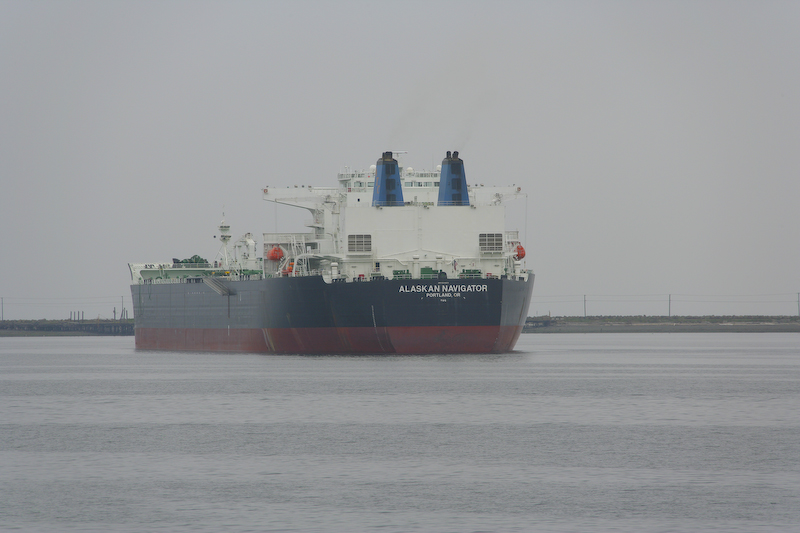
There was a large ship anchored in the Port Angeles harbor. This looks like a tanker.
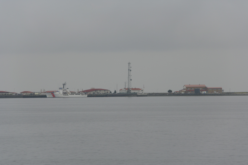
This is Coast Guard Air Station, Port Angeles. We heard their helos all morning long as if there were running some kind of search and rescue operation. The local paper did mention that there was a yacht that caught fire and exploded off of Point Pillar the previous day. According to the locals in Seattle, May 5 was the first day of boating season, so I am sure that there were plenty of unprepared fools on the water.
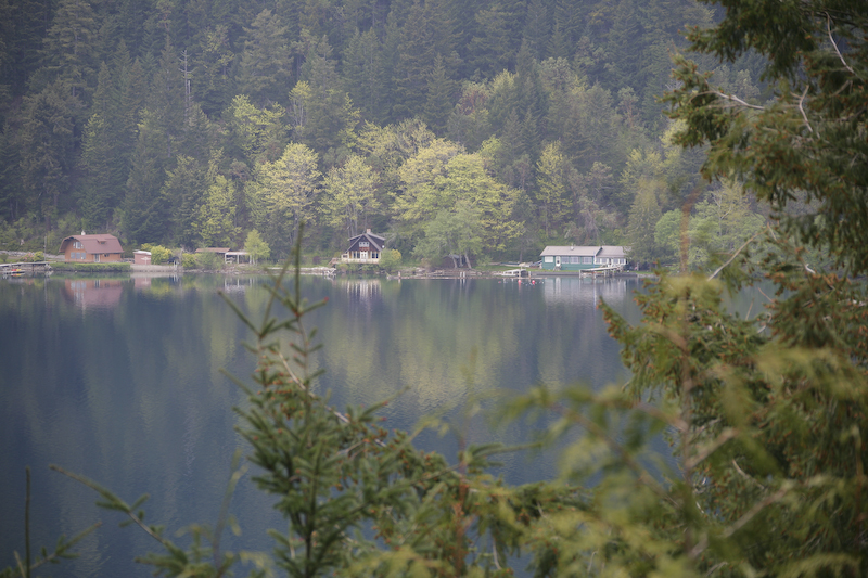
Here is view of Lake Crescent in Olympic National Park. These houses must have been grand fathered since the park system does not allow homesteading. This was a nice calm morning, but very overcast. We had significant drizzle all day, which is no surprise in this area.
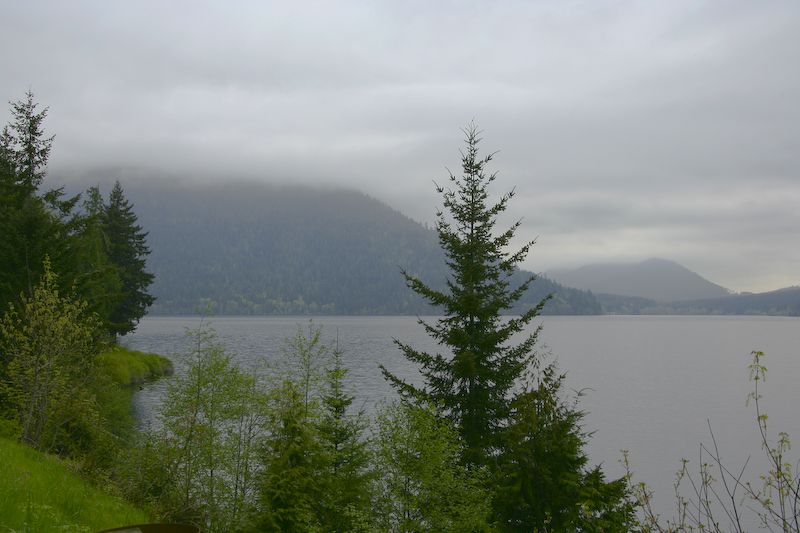
Another view of the lake. Note the low ceiling for the clouds. The low light made taking interesting photographs very challenging.
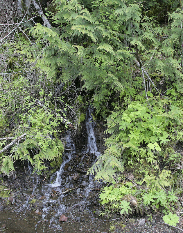
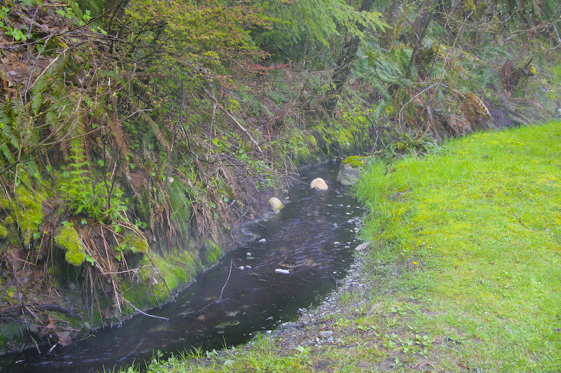
One common attribute of this area of the world is the presence of water (a rare item in southern California). We stopped on the side of the road to shoot the lake and spotted this mini-waterfall. Note the thick ferns and ground cover.
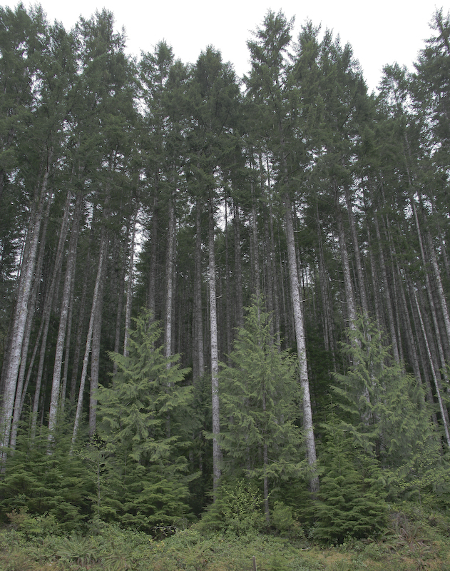
The forest in this area is very dense. These trees were tall and straight which makes them valuable to the logging industry.
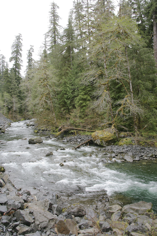
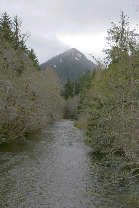
The headwaters of the Sol Duc river. We took a side road to Sol Duc hot springs and the road followed the river valley for the majority of the route. In the region that this photo was taken, the river was quite small, but down at highway 101, it was a major waterway that the road crossed at least half a dozen times.
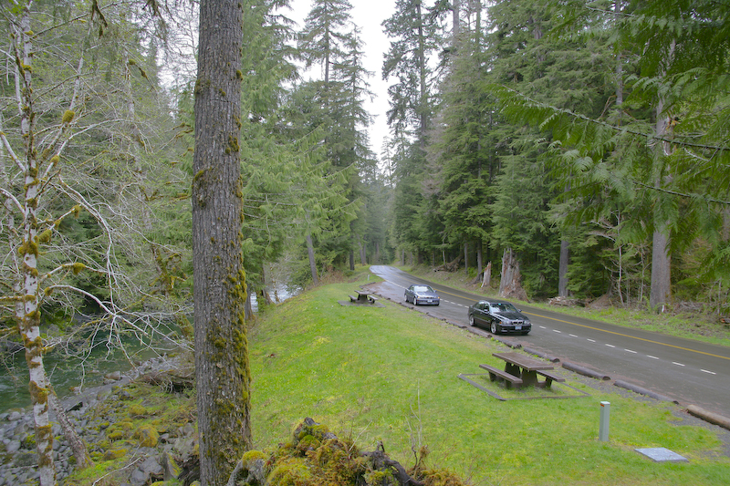
A turn-out on the road to Sol Duc Hot springs. The vegetation can only be described as "verdant". Our rides are in the background.
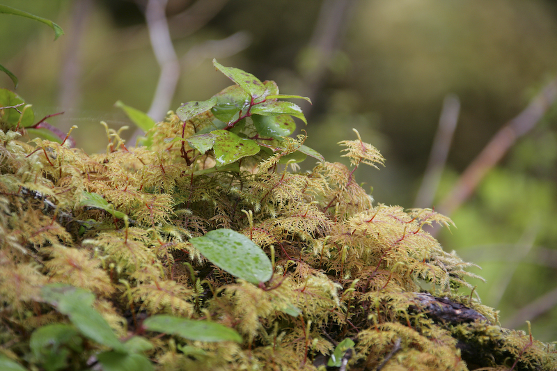
Most of the trees in the area were covered with moss and ferns. Here is a close up of some of the lichen that these trees, both live and dead, support.
This is the outfall of Sol Duc hot springs after it is channeled through the pools and hot tubs. Kathleen estimated the temperature of the water to be about 140 degrees which is scalding hot. As expected, there was a strong sulfur smell in the water.
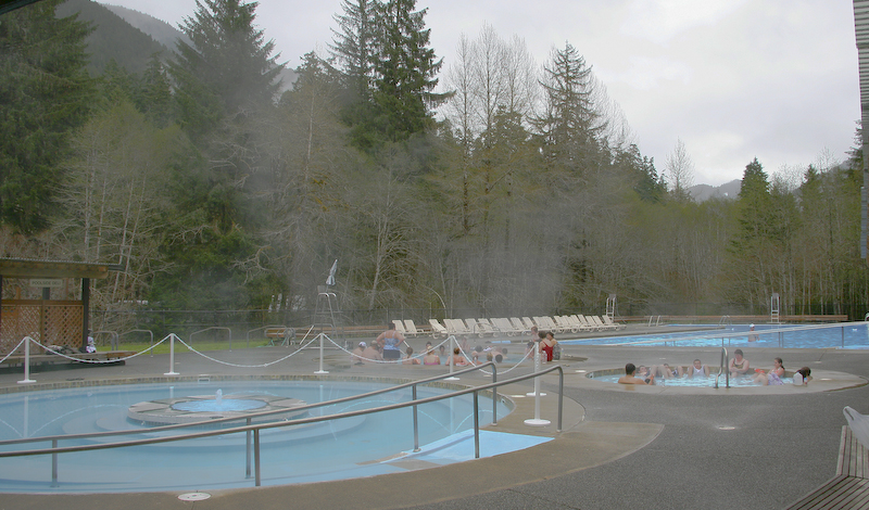
Sol Duc was a pretty nice facility, but quite "rustic". The quarters for the guests were cabins, but they appeared clean and in good repair. Here, you can see the spa area. The hot water is channeled from the source to serve as the source for the pools.
The banks of the Sol Duc support a large variety of plant life. I am not sure what this is, but it was both colorful and interesting.
The lighting sucked in general due to the overcast, but this is a shot of the Sol Duc river next to the spa area. After Sol Duc, we returned to 101 and headed west, then south. We ate in Forks, WA, but our next stop was the Hoh Rainforest. Hoh is the name of the indian tribe that lives in this area. So, if you live in Forks, and you tell someone that your girlfriend is a Hoh, that would not be an insult.
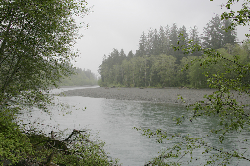
This is the Hoh river on the route to the rain forest.
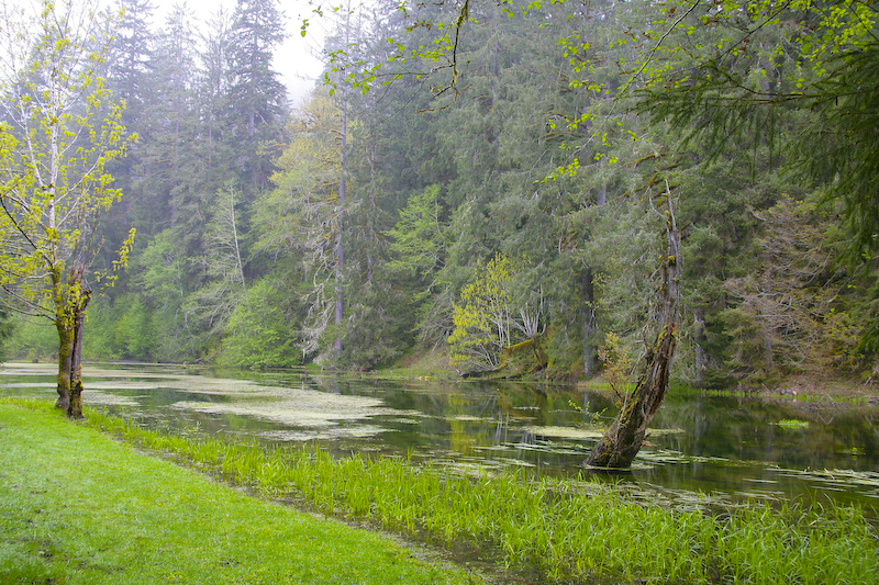
The rainforest was very interesting. This little pond was beside the road, near the visitor center.
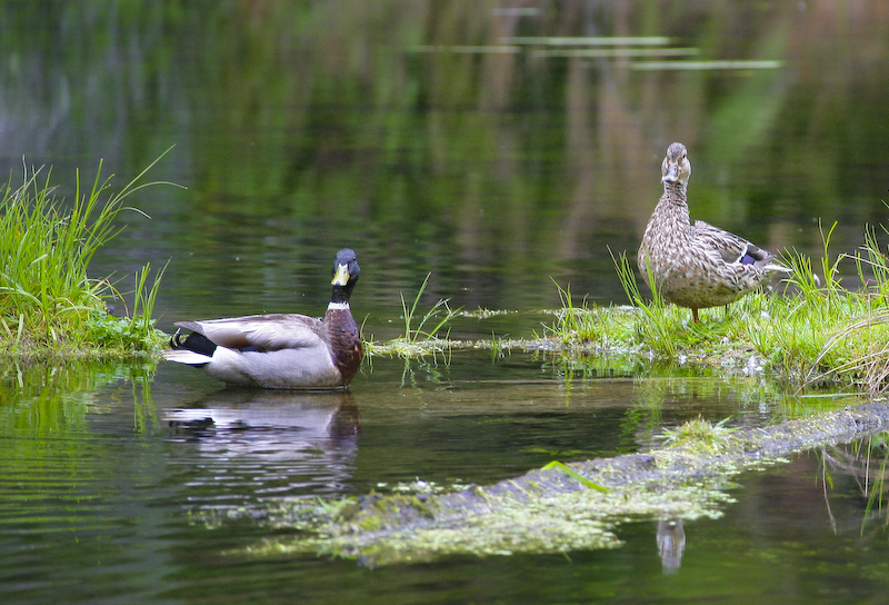
The pond supported a variety of wild life including this breeding pair of ducks. The male is on the left, but the female was the one that was making all the noise. Hmm, some things extrapolate from the animal kingdom to mankind. Want some cheese with these quackers?
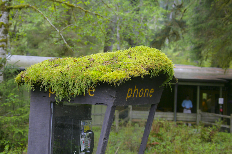
The Hoh rainforest supports a variety of epiphytes (plants that only need air and water). Literally, every available space was covered with moss, fungus, lichens, etc. Here, the top of the phone booth has been taken over by the local epiphytes.
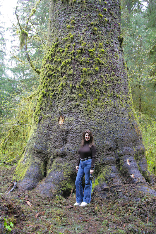
There was a viewing area for this very large cedar tree. Here, Kathleen poses near the tree to provide a sense of scale. The Hoh rain forest supports some of the largest trees on the planet due to the abundant rain.
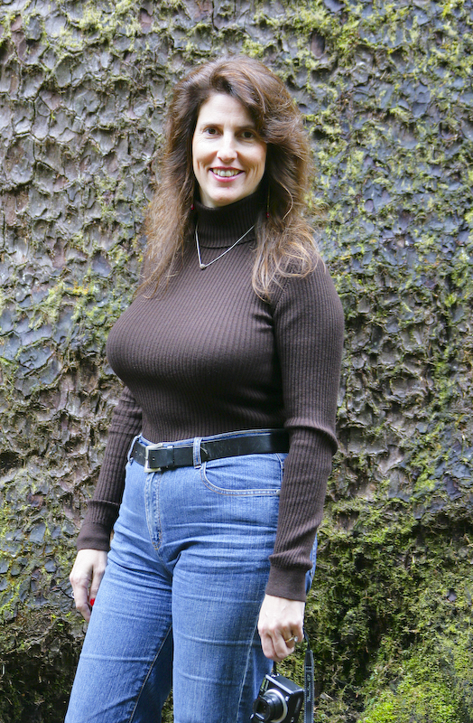
Curvy Kathleen was much more interesting than the tree.
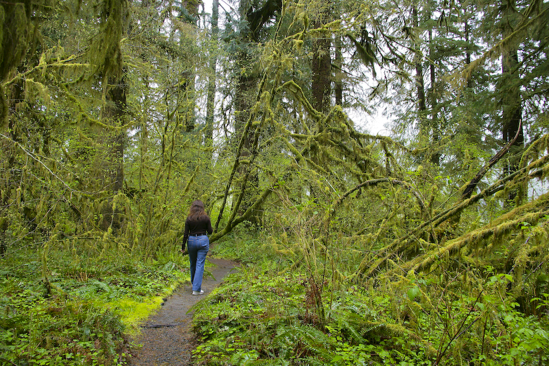
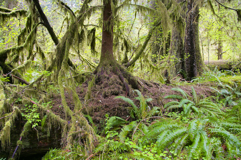
We did a short hike down a trail to the river. Note the large amount of moss hanging from the tree limbs. Every available space was covered.
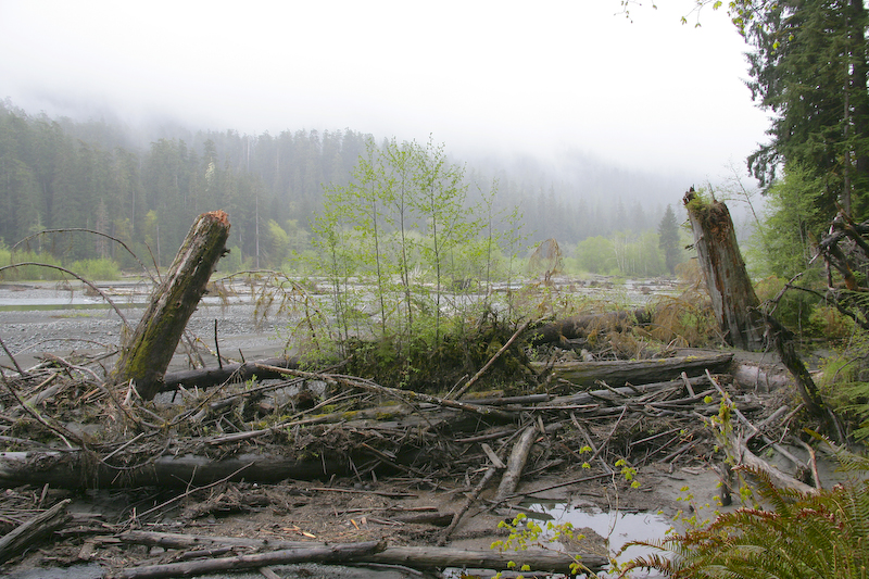
A view of the upper Hoh river. The river level was low, but it was much higher recently. This area gets 140" of rain annually and during the spring melt, the runoff is high. Note all the debris packed near the river bank.
Fallen trees serve as "nurse logs" that provide nutrients for other trees and related plants. Here is a nurse log in action. Note the young tree growing on top of the nurse log.
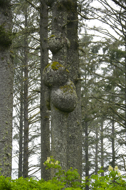
After Hoh, we continued south on 101 on our way to the Quinault Lodge. We stopped at Ruby Beach and spotted this tree with what appears to be tumors.
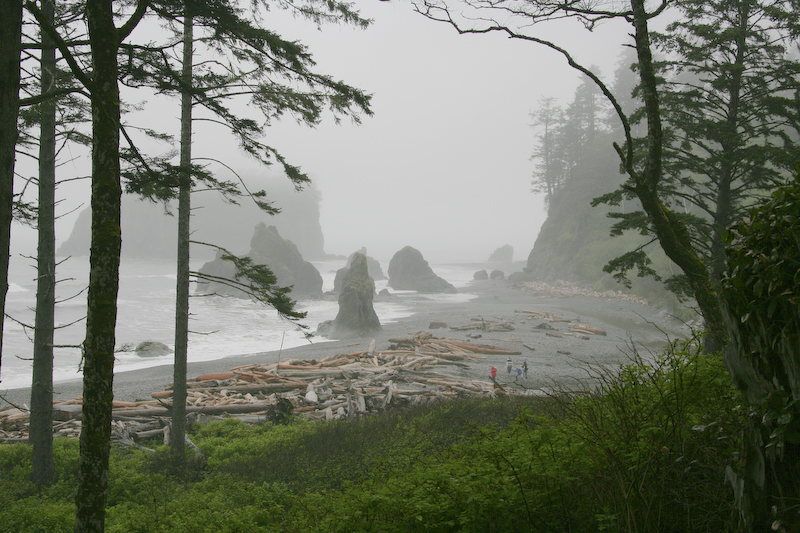
A view of Ruby Beach and the "sea stacks" of mini-islands. The weather was somewhat nasty as the mist was soaking everything, including my camera. By design, it is "weather resistant" but I always wonder.
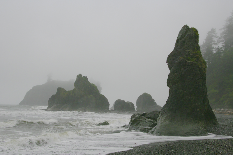
We braved the rain to get a closer look at the sea stacks. The beach was full of large drift wood and rounded cobbles.
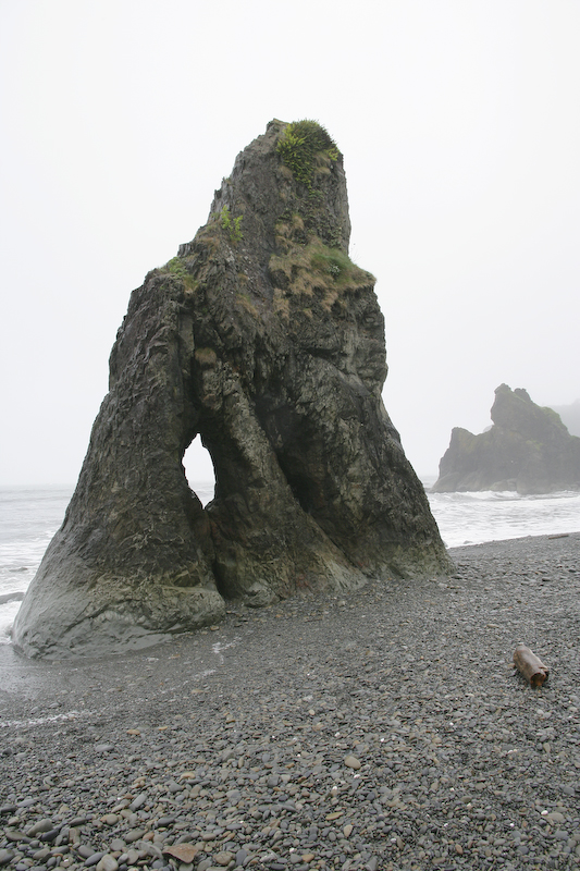
This stack had a nice hole eroded through the center of the stack. The weather sucked, so we climbed the hill back to our cars and made a speed run to the Quinault Lodge for the night.
Anyone who has been to this area will tell you "take rain gear'. Sage advice as it rained or drizzled all day. The visibility was poor and the lighting made taking reasonable photos nearly impossible. I have a top-end camera, but I had to "touch" nearly every photo with Lightroom to make them acceptable. If you are coming to the area, bring rain gear and an umbrella to protect your camera from the rain.
Back to the Road Trip Home Page