Trip Report: 20070925
We had completed our Durango activities and now it was time to move on. The plan was to cross the San Juan Mountains via highway 550 which is also known as the "San Juan Skyway" due to the altitude of the road. US 550 crosses 3 main passes: Coal Bank, Molas and Red Mountain. The first 2 are just over 10,000 feet in elevation and the last is over 11,000 feet. The objective was to reach Montrose, CO.
The photos below are what we saw.
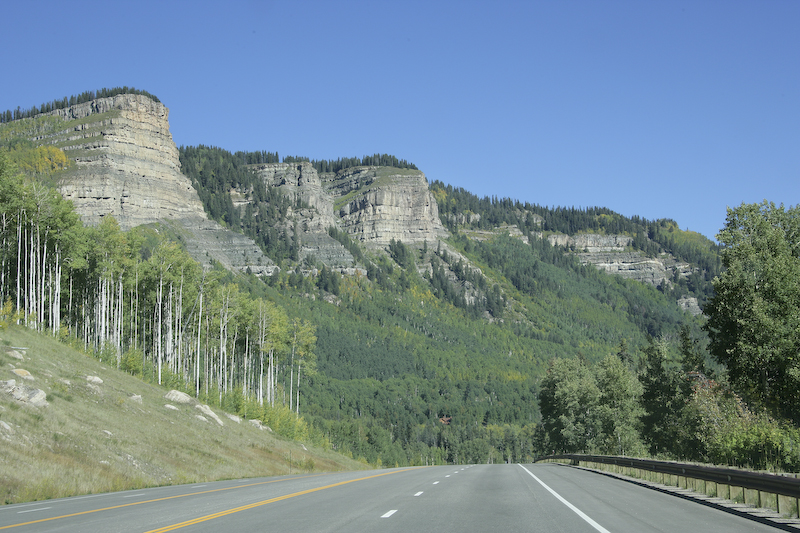
Approaching Coal Bank Pass from the south.
A view looking to the northeast from just pass the crest of Coal Bank. We were lucky in that the weather was much better than the previous days and the strong sunlight showed the Aspens with their fall colors.
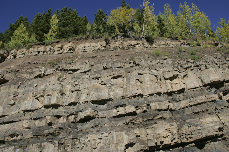
A view of the local road side geology. Note the bedding in the rock.
From one of the many overlooks, you can see evidence of the uplift that caused the San Juan Dome. Here a mini-hogback is visible.
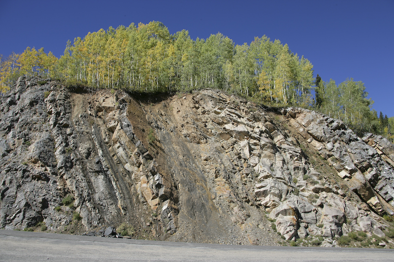
More upturned bedding.
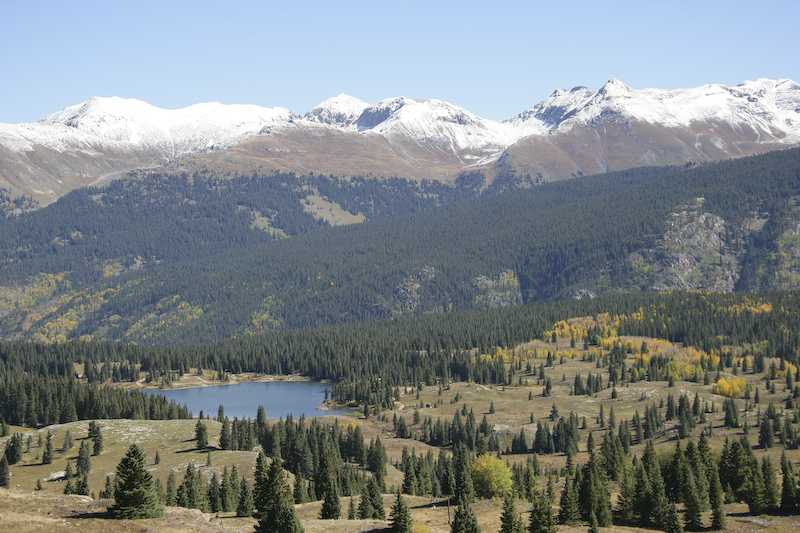
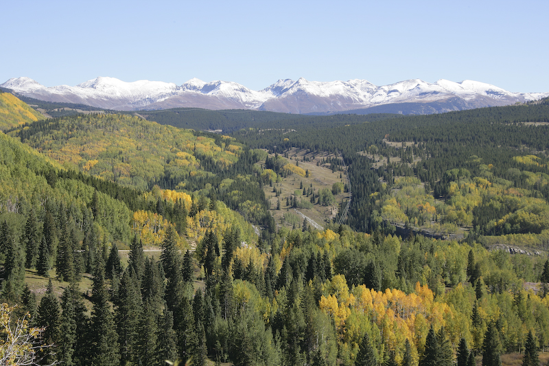
A view looking generally to the east from Molas Pass. Some snow had accumulated from the storm several days before.
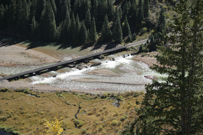
Descending into Silverton, we saw this bridge which was the sight of the first "run by" on our train trip. The river was not as turbid as it had been when it was raining.
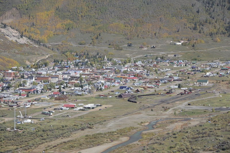
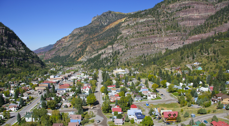
Silverton, Colorado as seen from the Molas Pass downgrade. The D&SNGRR tracks and station are visible in the right center of the photo.
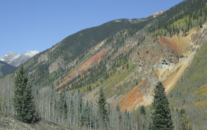
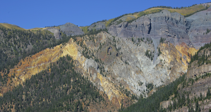
The mountains around Silverton, indeed the entire San Juan range are heavily mineralized due to the volcanic activity and uplift. That mineralization results in the rich colors in the rocks. The mineralization is clearly visible on the flanks of this mountain as seen from the Molas Pass downgrade.
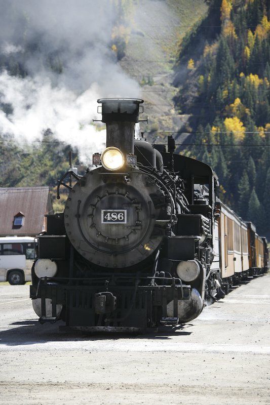
We parked in Silverton (along with the other 10,000 tourists) and got a bite to eat. On the way to the restaurant, we got this shot of the D&SNGRR locomotive preparing to haul folks back to Durango. Recall that we had seen Number 486 on both of the previous days as it is one of 3 locomotives that are in service on this route.
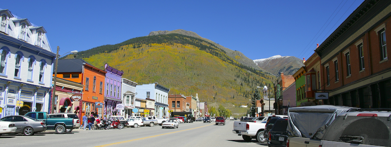
Downtown Silverton, CO. The main street is paved, but that is the only one that is; the balance are dirt.
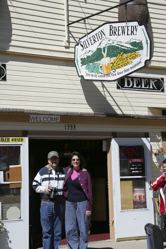
Jeff and Kathleen mug for the camera on Main Street.
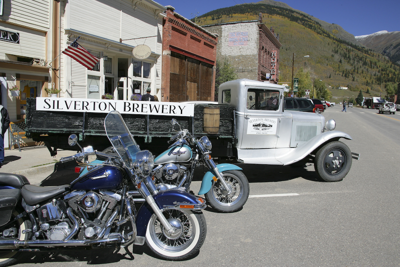
The Silverton Brewery had this nice old Ford delivery truck.
Leaving Silverton, we headed up to Red Mountain Pass. Note the headframe of the mine in the center bottom of the photo.
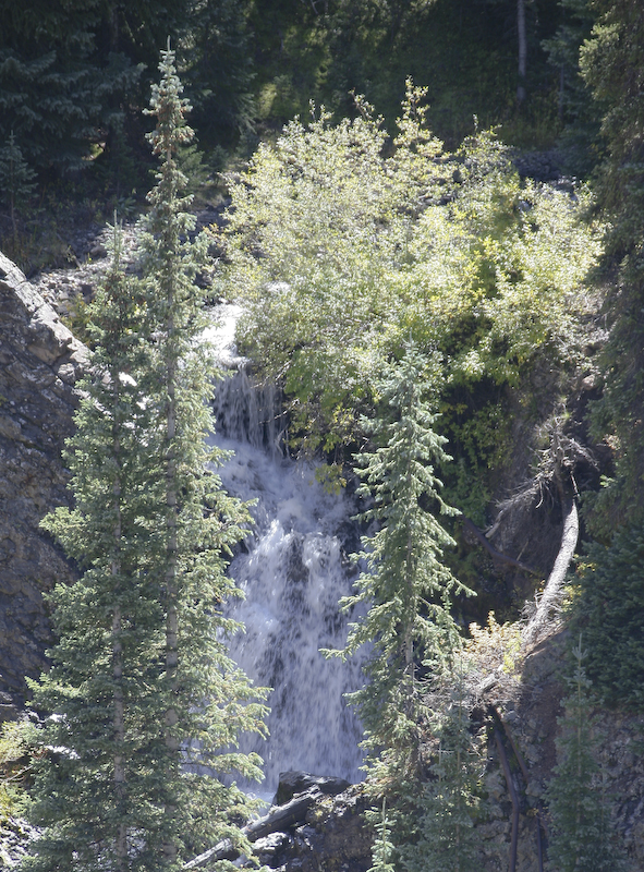
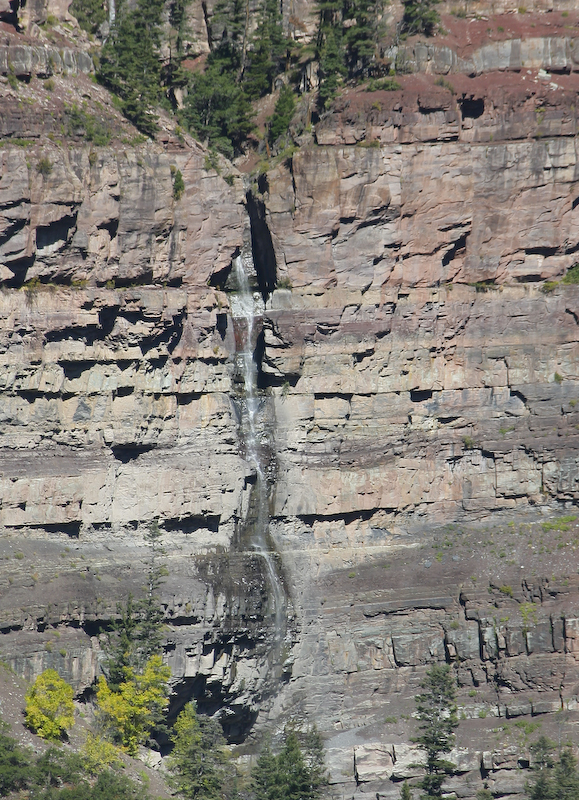
There were many nice waterfalls along the highway.
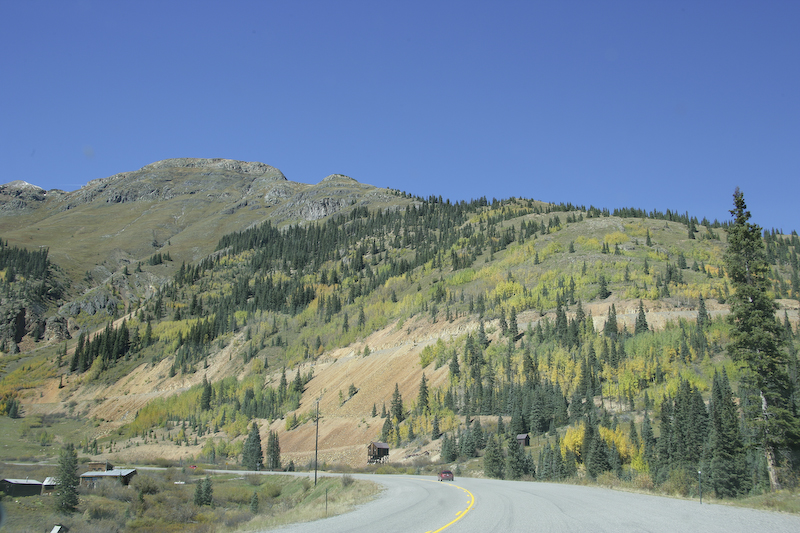
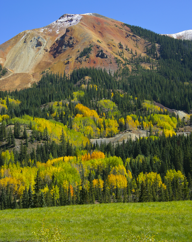
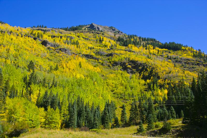
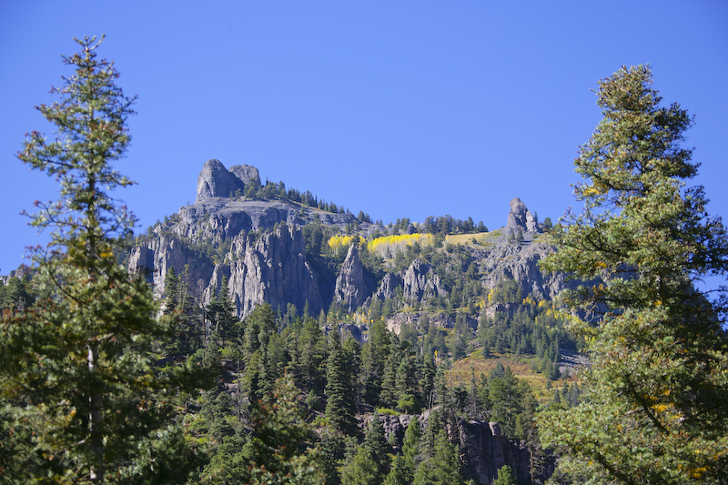
Approaching Red Mountain Pass, we rapidly gained elevation. With the elevation change, the colors of the trees became more vivid. We were here near the peak time which we were guessing was in a few days.
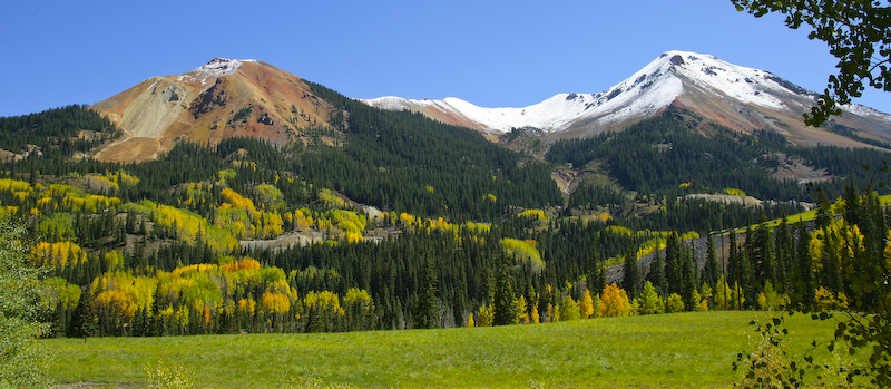
Red Mountain, named for obvious reasons, is on the left.
A nice contrast of colors were presented with the reds of the mineralized areas playing off against the yellows and greens.
Awesome display of nature's power.
On the down slope from Red Mountain Pass.
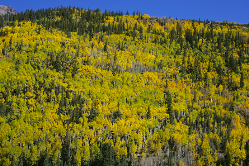
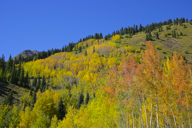
More aspens in their full fall colors.
You would think we were in the boondocks, but note the power lines in the foreground. These lines service the many mines that are in the area.
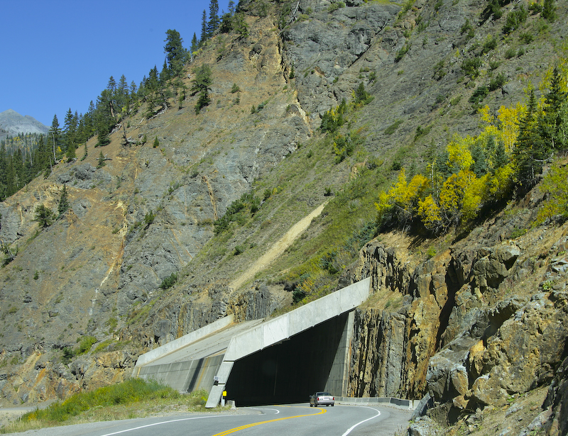
A snow shed protecting the highway from avalanche damage.
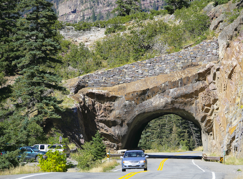
A believe this was the only tunnel on the highway.
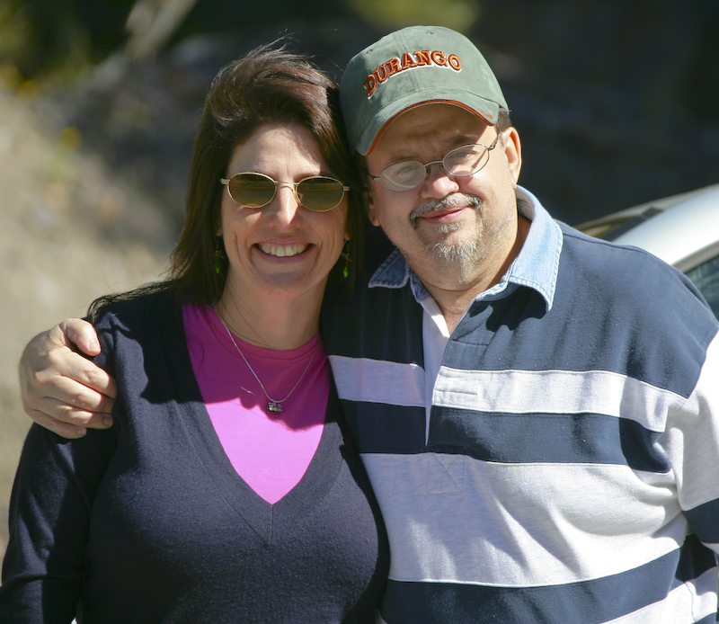
Kathleen and Jeff take a break from ogling the scenery to pose for me.
The hamlet of Ouray from the overlook on US 550.
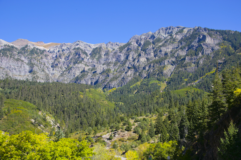
A view of the massive range to the east of Ouray.
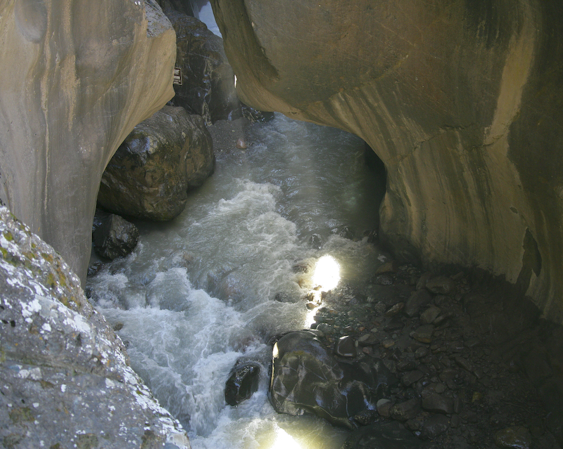
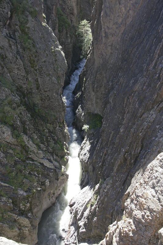
Just before the actual entrance into Ouray, we decided to check out Box Canyon falls. The creek has eroded a nice slot canyon that had developed over a fault line resulting in the falls.
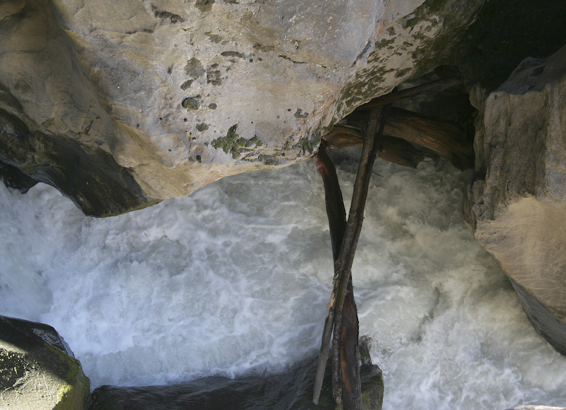
The cliff walls were hundreds of feet high but the width of the canyon was only 10 feet. In the spring, this creek becomes a torrent.
Despite the heavy rains a few days prior, the water flow was pretty low.
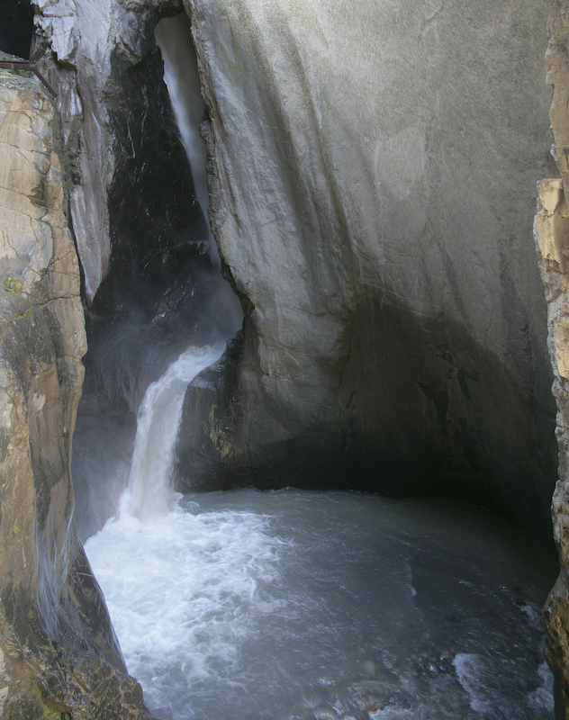
From the overlook at the top of the falls, you can see across the canyon to another small waterfall on the eastern cliffs.
One of the peaks to the north east of Ouray.
Looking upstream into Box Canyon. Note the vertical beds on the right.
The heavy mineralization in the rocks is clearly visible.
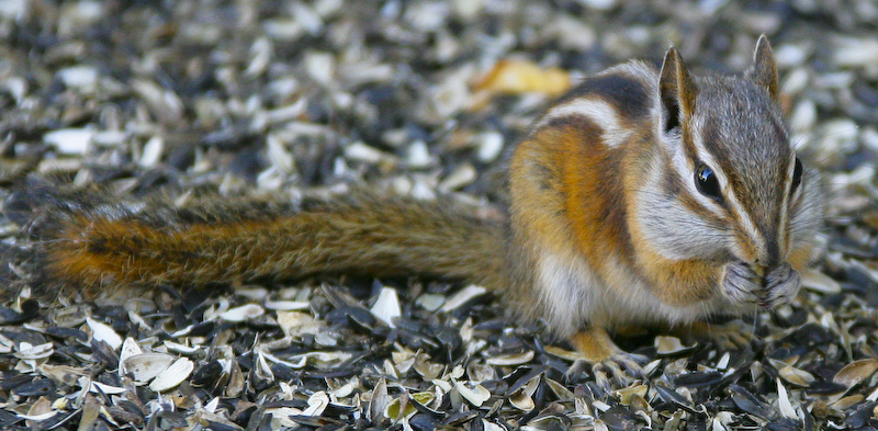
On the exit from the falls, we came upon this small critter. The sign says "Do Not Feed the Chipmunks". Right. Notice the huge bed of sunflower shells.
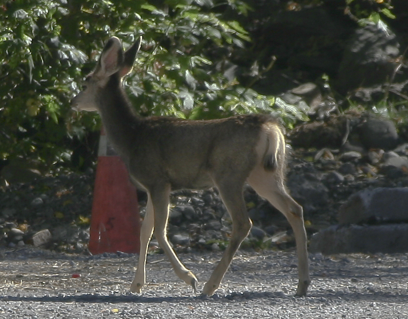
We passed this fellow in the parking lot.
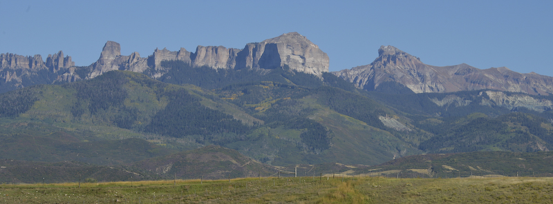
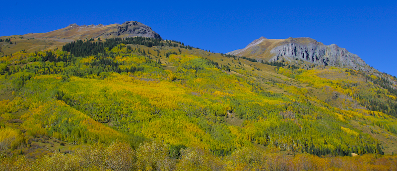
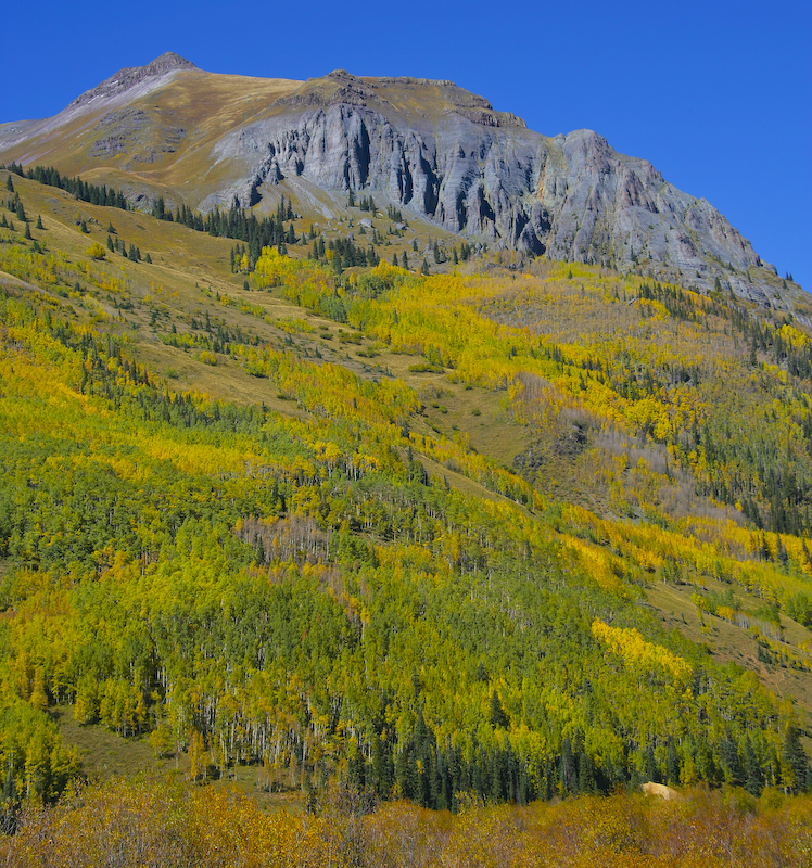
A view of one of the ranges to the east of US 550 on the stretch of road from Ouray to Montrose.
This was perhaps the most scenic drive I have ever done. In my opinion, this was even better than one of our trips to Switzerland.
Black Canyon of the Gunnison River.
Back to the Road Trip Home Page