Trip Report: 20070929
The plan for the day was to explore a bit of downtown Taos and then head back to Albuquerque for our flight home. We had some extra time, so I consulted the definitive reference for the area (the AAA "Indian Country" map) and discovered that Bandelier National Monument was very close to our selected route. So, we decided to add a "target of opportunity" to the agenda and headed out.
The photos below are what we saw.
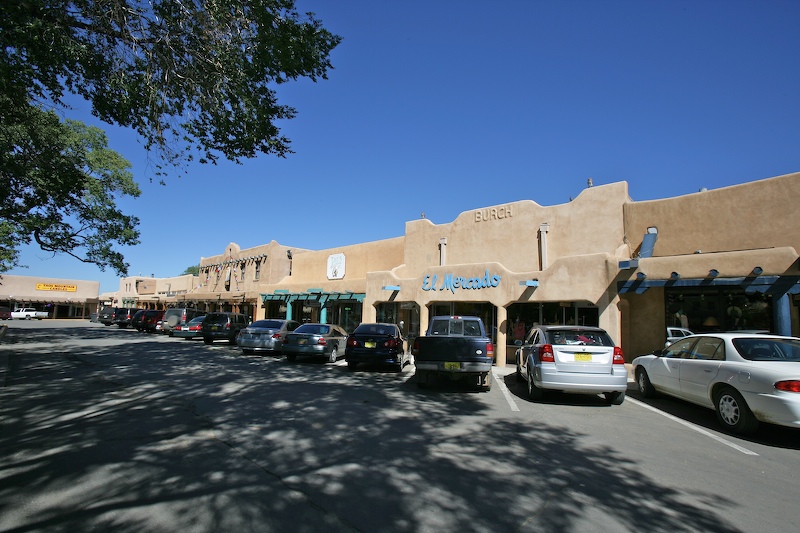
After the intense rain the night before, the air was clear and chilly. This is a shot of the main square in Taos.
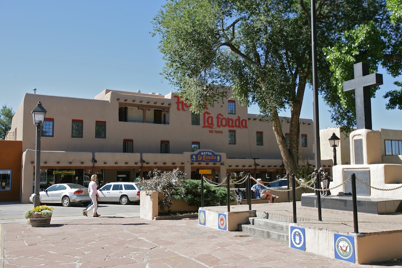
In the center of the plaza is a park and a number of monuments. Here is a monument to veterans with the La Fonda Hotel in the background. The La Fonda hosts the only 4 star restaurant "Joseph's Tables" which was excellent.
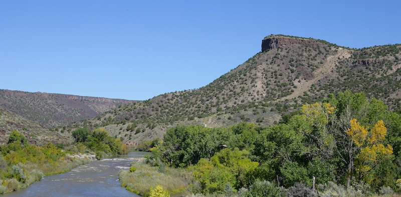
The route south from Taos traverses the Rio Grande gorge. This is the exit from the narrow portion of the gorge with the Rio Grande in the foreground.
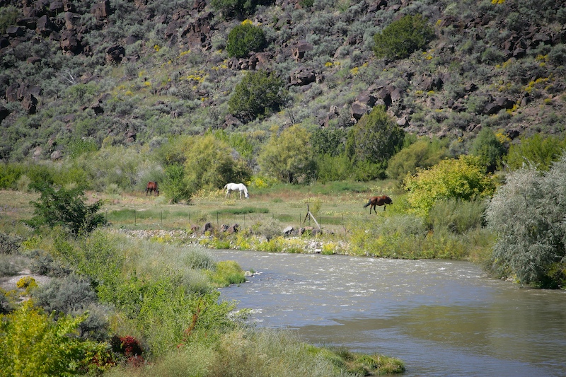
There were some nice pastures along the Rio Grande. Note the volcanic boulders on the hillside. This whole area was covered by a large lava flow many millions of years ago.
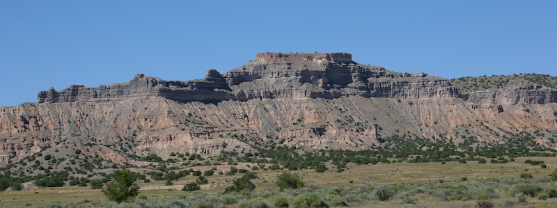
The clear air provided excellent views of the mesas in the distance.
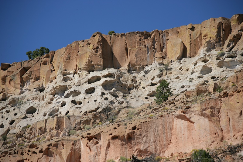
On our way up to the top of the mesa, we encountered this interesting weathered sandstone. Sandstone of this type provided the basis for dwellings for some of the native americans that lived in the area.
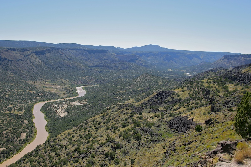
On the way to Bandelier, we passed a small town called White Rock. There was a sign for an overlook, so we decided to check it out. Here is a view of the Rio Grande valley.
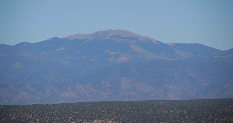
From the overlook there was a clear view of the highest peaks of the Sangre de Christo range to the east. This mountain is called Truchas Peak and is over 13,000 feet. I climbed this peak back in 1971 and froze my ass off. We were totally unprepared for the cold and were very lucky that the weather did not turn on us as we would have surely died.
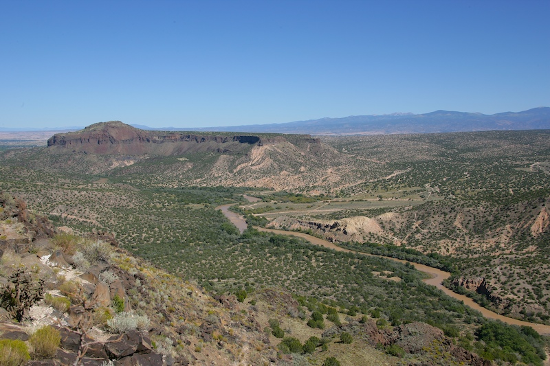
Another view of the Rio Grande valley with the northern Sangre de Christos in the far distance.
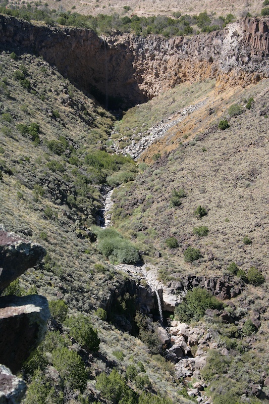
From the overlook, we had a great view of twin waterfalls to the northwest. Note that there is one falls at the top of the mesa and another well below.
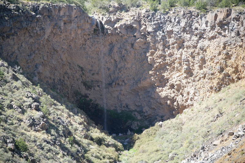
A close up of the top falls.
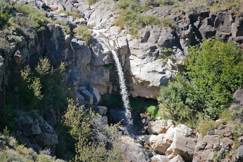
The lower falls.
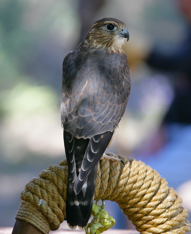
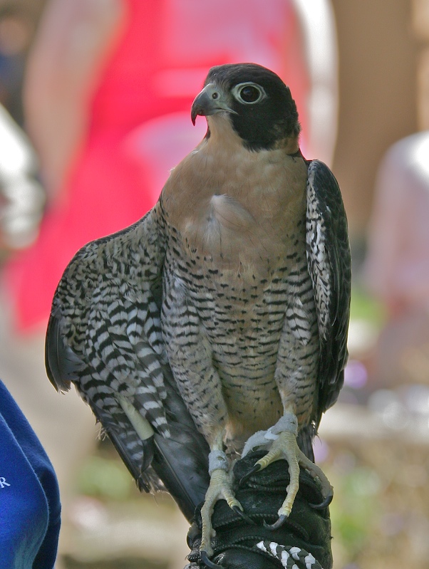
We got to Bandelier, but were very short on time since the road was slower than we expected. At the visitor center, there was a raptor exhibition where we spotted this fellow. Note the intense look in his eyes and that nasty beak.
I think this is a hawk, but did not have time to ask.
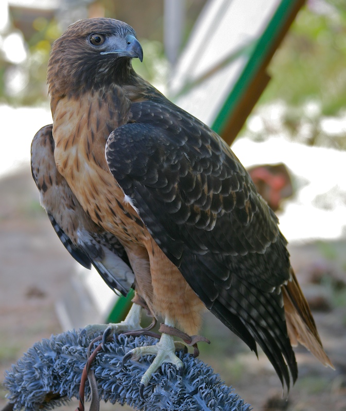
Note the talons on this fellow.
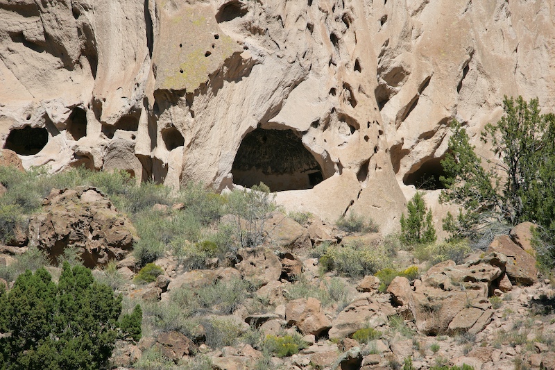
We literally ran up the path from the visitor center to get a brief view of one of the ruins. These caves were used as dwellings and the indians tunneled through the soft rock to connect the smaller caves into an extended structure. One of the structures runs for nearly 800 feet.
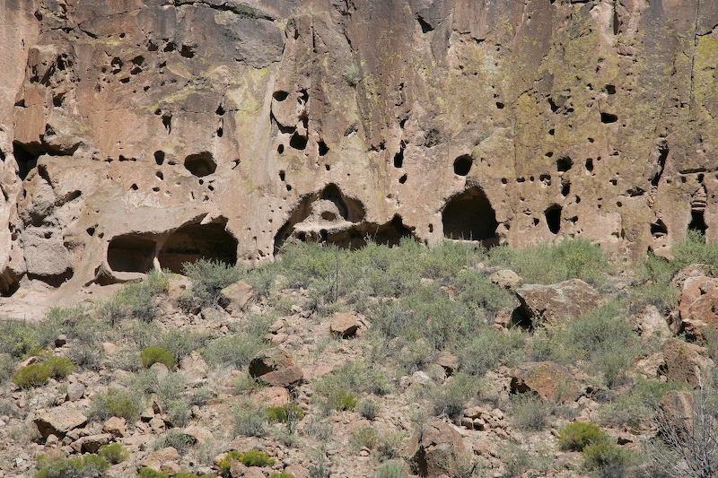
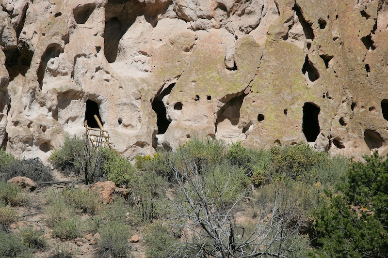
Another section of caves.
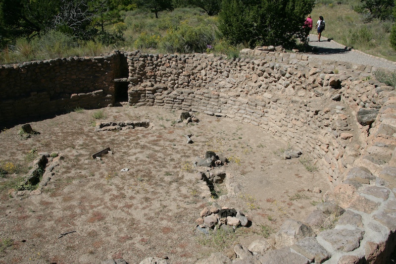
The canyon floor had the kivas.
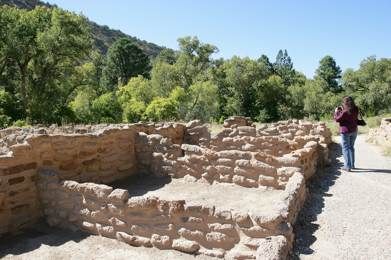
There were also hard walled structures on the canyon floor.
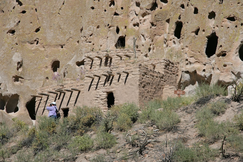
The upper section also had a hard walled structure. Sadly, since we were pressed for time, we just shot this with the long lens and headed back to the car.
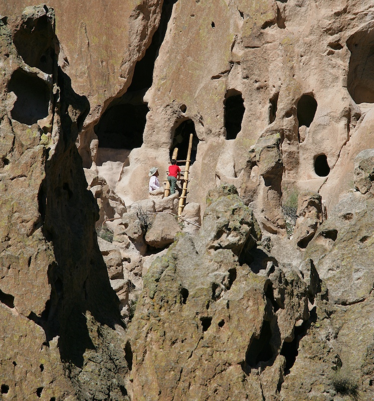
Several of the areas had ladders that allow access to the dwelling areas.
A parting shot of the dwelling area.
We did not get a chance to see much of the area around Bandelier. We should have planned our time better, but it was something that was not on the original agenda. That said, I am glad that we did stop. If I am in the area again, I will return, but plan to spend at least 4 hours at the place, possibly longer.
Back to the Road Trip Home Page