20070210
Kathleen and I had been wanting to head out to the end of the Kitsap peninsula to a place called Cape Flattery. This cape is at the extreme north-west end of the peninsula and would be the most northwest point in the continental US. Saturday came and it dawned clear, so we packed our stuff and headed out. The photos below are what we saw.
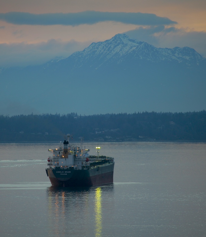
Early morning found the "Angelic Grace" anchored in Elliot Bay awaiting a load of grain. The Olympic mountains are in the background as is Bainbridge Island.
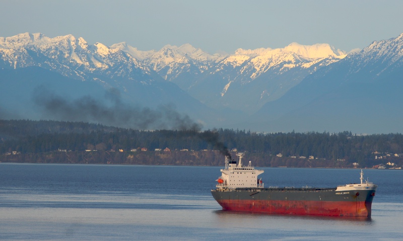
Nothing angelic or graceful about the engine emissions once she started her power plant. Note that the flow of the tide has turned the entire ship around relative to the anchor cable.
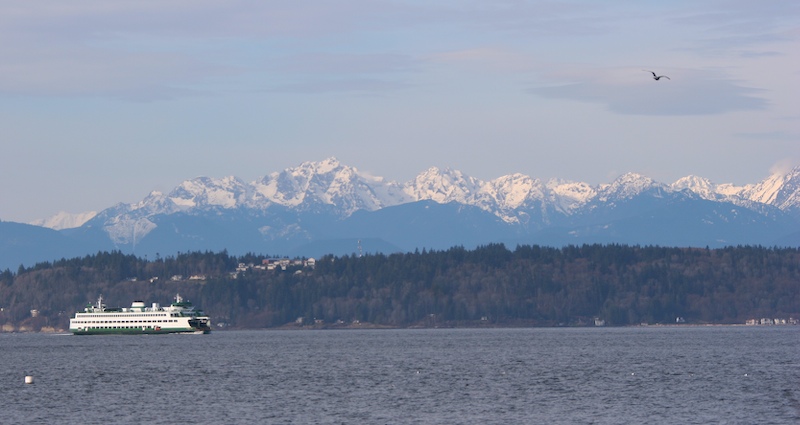
Just to be different, we decided to cross at Edmonds. Here is the ferry inbound to the loading terminal with a different view of the Olympics in the background.
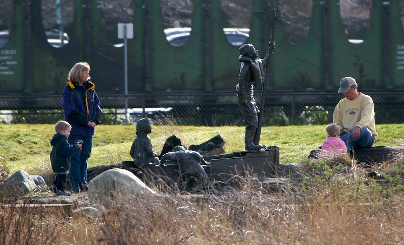
Next to the Edmonds ferry terminal, there is a beach with some interesting statues. Here a family plays next to one of them.
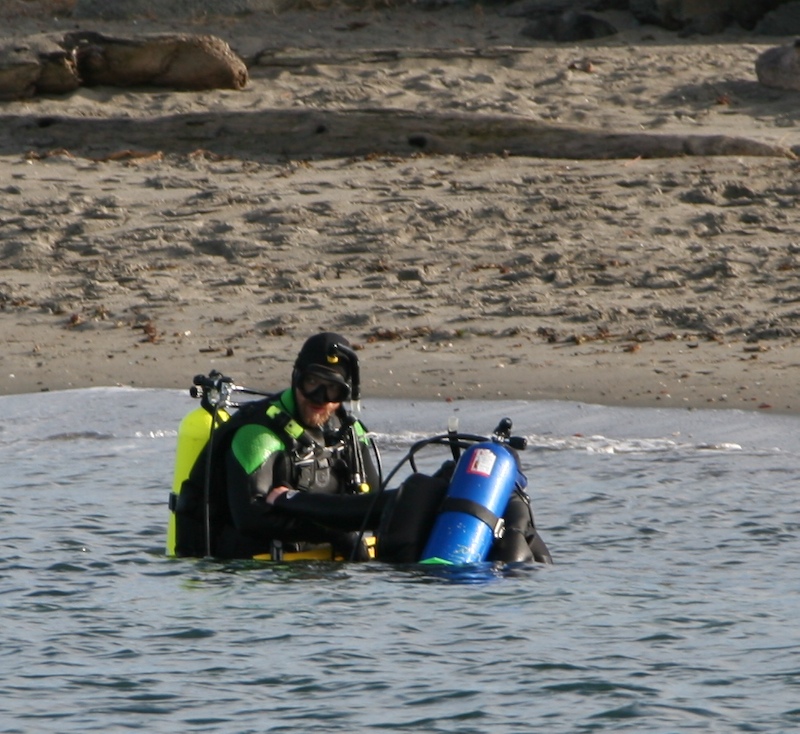
On the north side of the terminal is a diver's park. This fellow is helping his buddy prepare before they go into the freezing water.
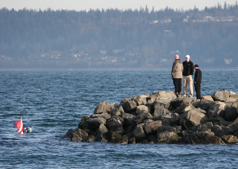
Locals watch the divers from the jetty.
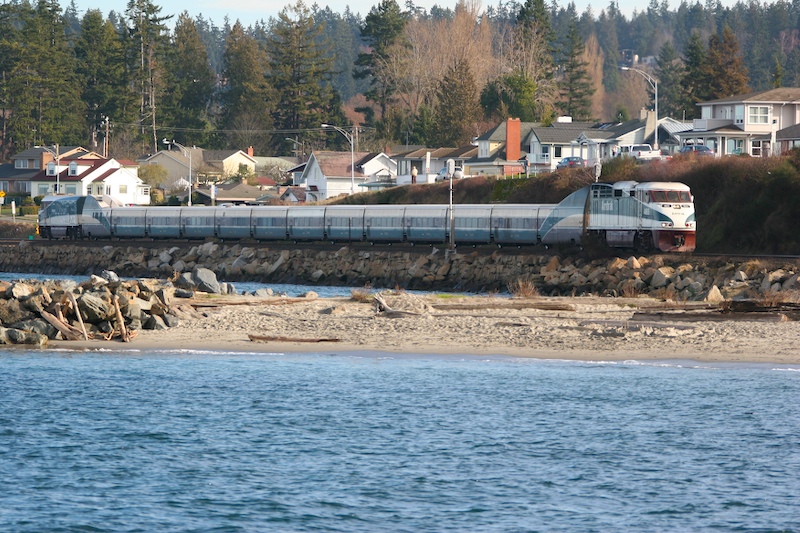
The Amtrak "Cascades" came by while we were waiting for the ferry.
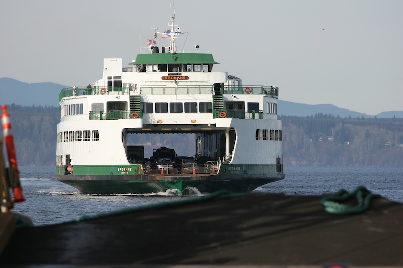
Our boat was the "Spokane" and is a full-sized ferry.
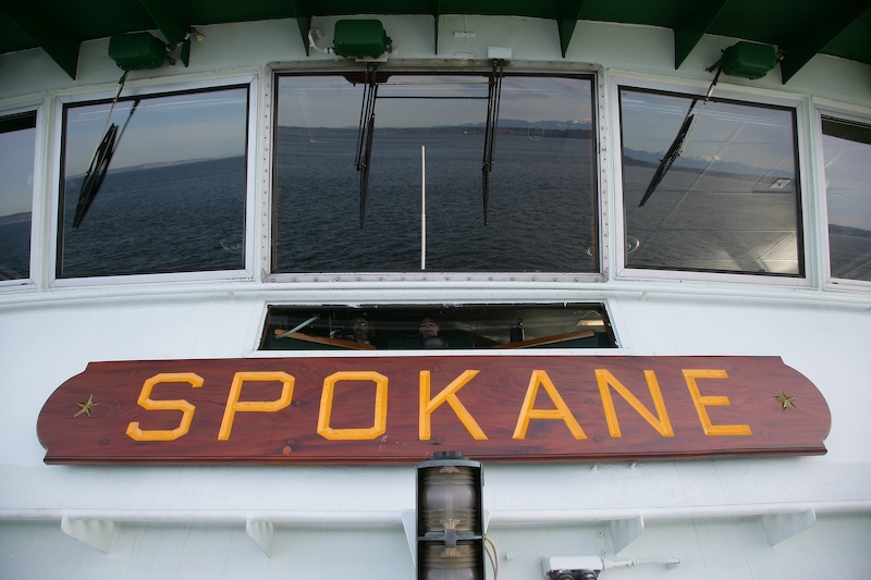
After we got underway, I got this shot of the captain and crew at work. They are visible in the lower window. You can also see the reflection of the Olympics mountains in the distance.
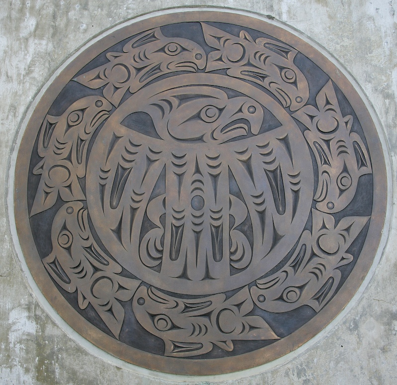
We traveled on state route 104 through Port Gamble to US 101 and then from there to a small town called Blyn. This is the home of the S'Klallam tribe. We stopped at their visitor center and saw this cool bronze plaque of an eagle surrounded by salmon.
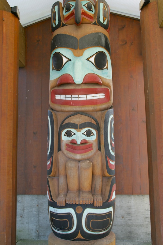
This totem was also at the visitor's center.
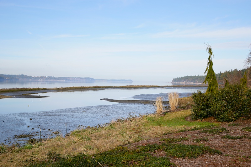
We rolled through at low tide. Here is a view looking north in Sequim Bay.
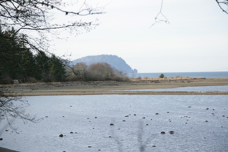
There were nice headlands and small cobblestone beaches along the shore.
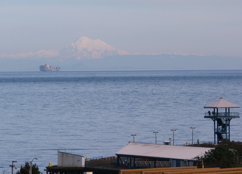
All roads lead to Port Angeles. We drove up the hill to an outlook point and were able to see this cargo ship heading into port with Mt. Baker in the far distance obscured by marine haze. We later climbed the observation tower in the lower right of the photo.
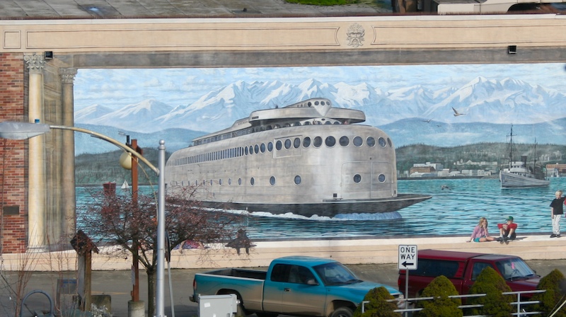
Port Angeles is a working town, but with a touch of class. We saw this great mural on the wall of one of the buildings depicting an early ferry that operated in the area.
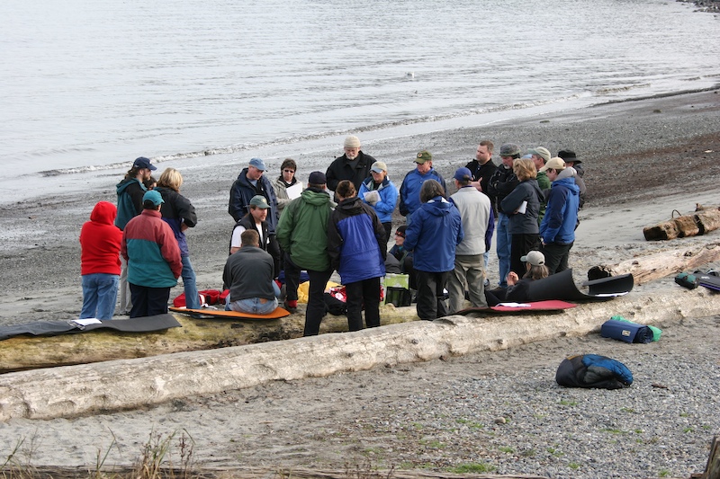
One of the local outdoor shops conducting sea kayak classes at the local beach.
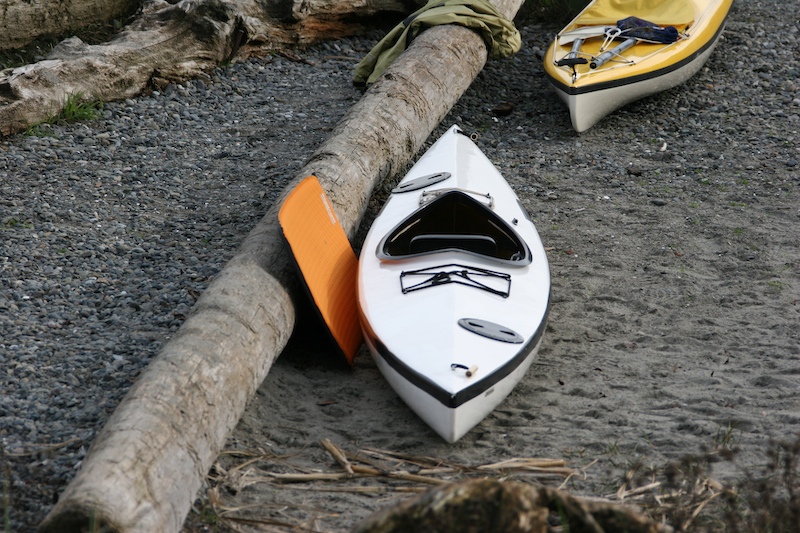
There were a bunch of vehicles in the beach parking lot with kayaks. These are pretty small and would be very scary in high waves.
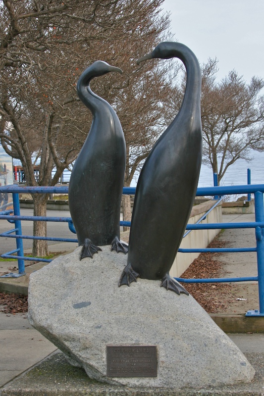
A nice bronze sculpture at the beach park. Oddly enough, this is entitled "Cormorants".
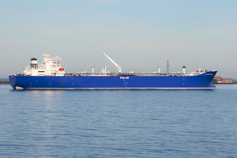
The harbor at Port Angeles was busy and full of large freighters. This is the Polar Resolution and it appears to be a tanker from the piping on deck.
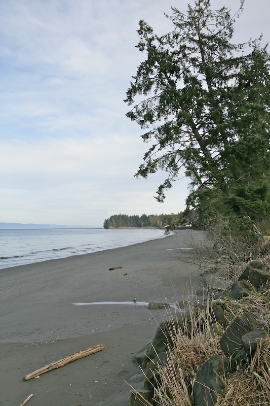
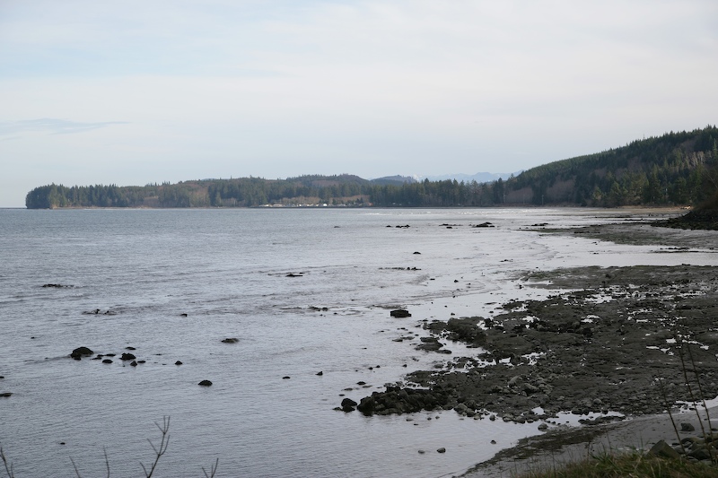
After we left Port Angeles, we left highway 101 and turned onto state route 112. There were a number of nice sandy beaches right next to the road. With no wind, the waters of the Straight of San Juan de Fuca were very calm.
At a number of places, small streams passed over the beach to the sea. One is visible at the left center of this photo.
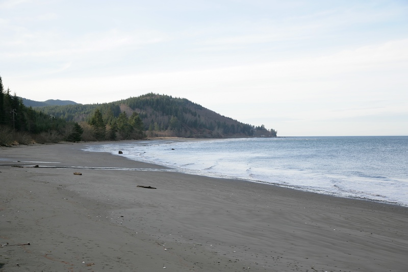
As we proceeded further west, the sandy beaches gave way to rocks. This shot was taken near Pillar Point.
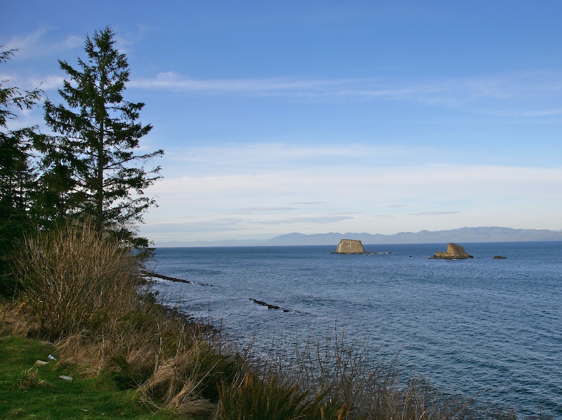
Rocky outcroppings became more frequent the farther we went west.
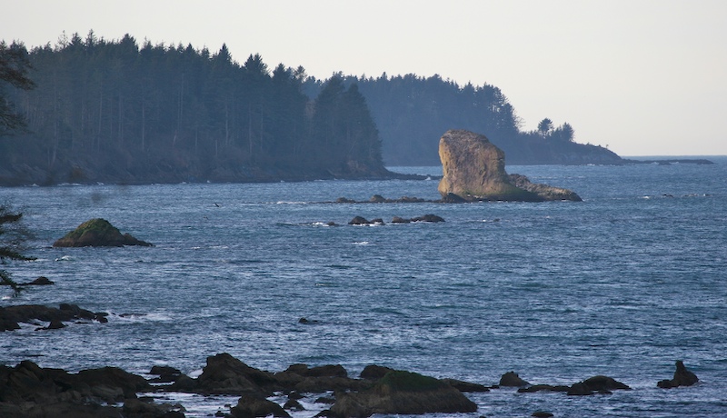
Rocky headlands began appearing with great frequency and the road rose high above the shore line resulting in tight curves and dangerous cliffs should you deviate from the road. There were a number of trees that had fallen onto the road and were chain sawed out of the way. Additionally, the roadbed had slumped in a number of sections resulting in many driving hazards.
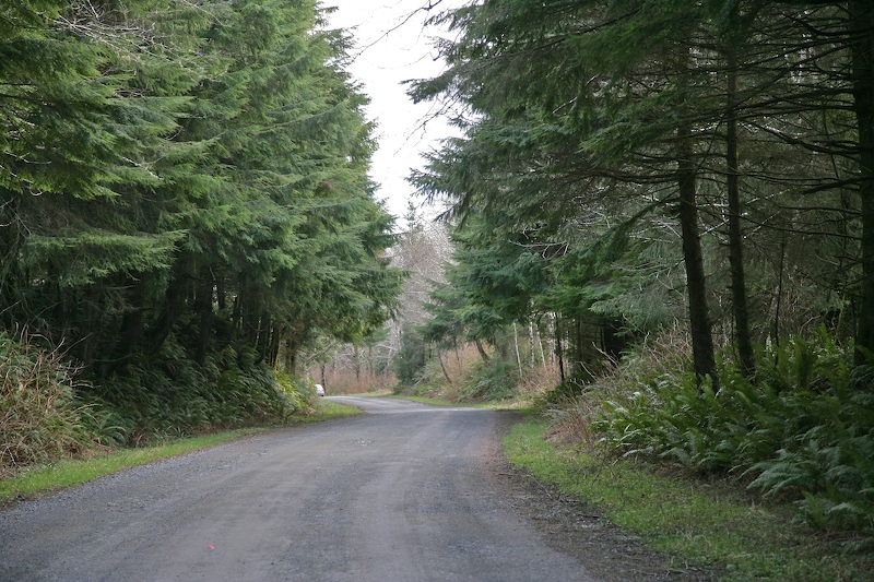
The objective was to get to Cape Flattery. But, despite the fact that we left the apartment at 0930, the extended distance of the trip and the tight roads put us close to the objective right at sunset. The paved road turned into a 10 mile dirt track that was riddled with large pot holes mandating slow going. Given the late hour and the fact that to actually get to the point and out would have added another 4 hours, we bailed. We could see the Pacific through the trees, so we felt that we had achieved our goal. Above is a shot of the dense vegetation
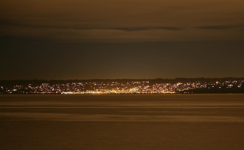
It took us 4 hours to get back to the Kingston side of the ferry. Under challenge from Kathleen, I got this 30 second shot of Edmonds from the parking lot in less than 2 minutes of assembly and setup.
It took nearly 12 hours to get from our place to Cape Flattery and back. The M5 was complaining about having low air pressure, so we filled and re-checked the tire pressure repeatedly. It was good that we did not suffer any issues as big chunks of the road were without cell service and it would have been a long, cold walk for assistance.