Zion National Park is in southern Utah, close to the city of St. George. Zion is one of the 5 parks in southern Utah that are there due to the unique geology of the area. The earth's geological history is grossly divided into 5 chapters. The first 3 epochs are embodied in the Grand Canyon. The 4th is in Zion and to a lesser extend Capital Reef National Park. The 5th epoch is in Bryce Canyon and Cedar Breaks. These 5 parks span altitude from less than 1,000 feet on the river grade in the Grand Canyon to over 10,000 feet at the top of Cedar Breaks. With altitude comes temperature swings. Zion is in the middle of this spread with altitudes ranging from 2000 to 5000 feet depending where you are in the park. (these descriptions are for where roads are, if you hike you can get much higher in altitude).
Zion park is unique in that you can drive into the bottom of the canyon, unlike the Grand Canyon where you are either on the north or south rims. The road into Zion (from the west) goes from St. George, to Hurricane to Springdale. As of our visit (and apparently for some years) the Park Service has banned cars from the north scenic drive in the park. Instead, they run trams to ferry the passengers into and out of the park without suffering the traffic. Instead, the traffic is in the parking area surrounding the visitor's center. But no matter, we found parking and were able to get into the park.
We were in Las Vegas for high performance driver's school, and Zion is only 120 miles from Vegas. It has been many years since we were last in the park and the focus of this trip was going to be taking digital photos. We did take many photos, but sadly the weather was overcast thereby resulting in "washed out" colors and less than optimal photos. Since Zion is 500 miles from San Diego, it will likely be some time before we are back in that area. While not the best that can be done, these will have to suffice until we can get back into the area.
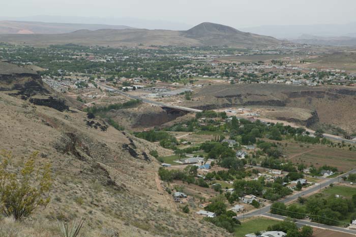
A view of Hurrcaine, UT from the overlook.
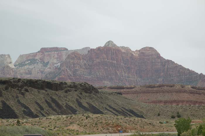
Cliffs on the entrance to Zion. Note the lava flows on the hill to the left.
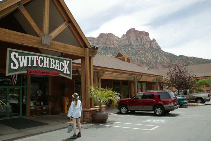
A very nice resturant at the entrance to the park. We ate lunch here.
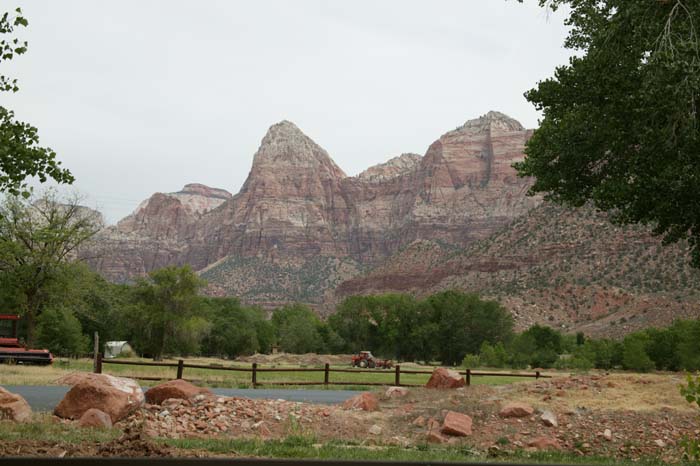
A view out the window of the resturant, looking east. Note the farmer working the tractor.
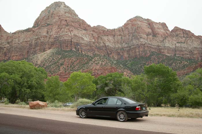
BMW and redrock cliffs, a perfect combination.
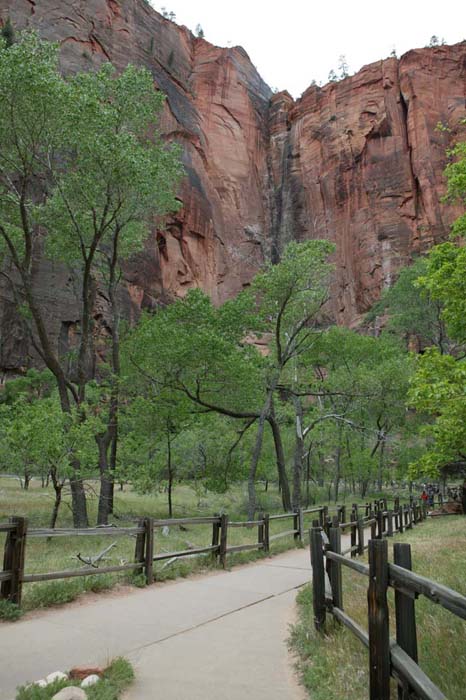
Sadly, the overcast made the lighting difficult resulting in less-than-perfect photos. Cottonwood trees in the foreground. They were in bloom, spreading "cotton" everywhere.
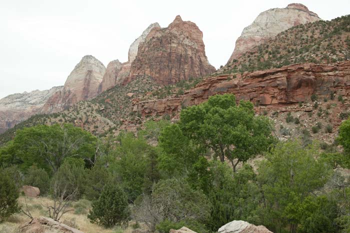
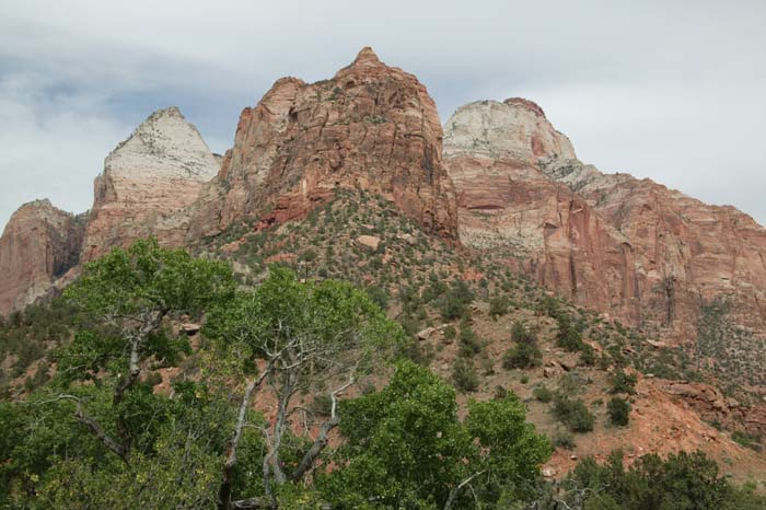
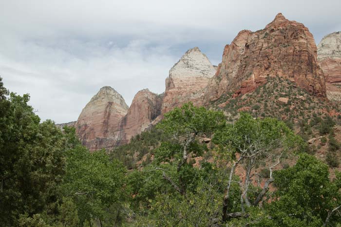
Awesome cliffs.
Looking to the west from the entrance to the tunnels.
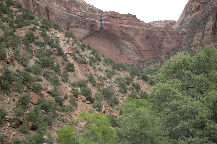
A major arch near the entrance to the tunnels.
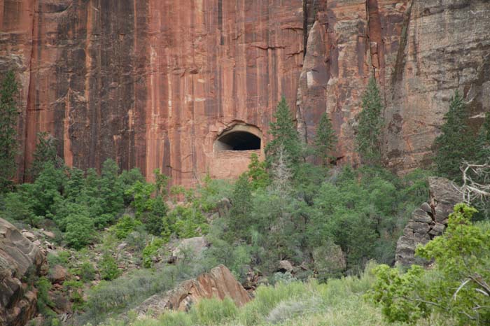
Vent hole for the tunnel. The tunnel goes from river grade to the rim rock. The tunnel is parallel to the cliff face on the other side of the vent.
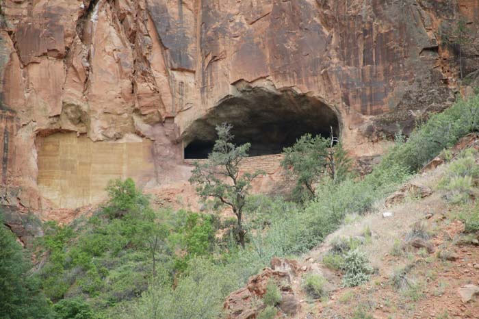
Another vent tunnel.
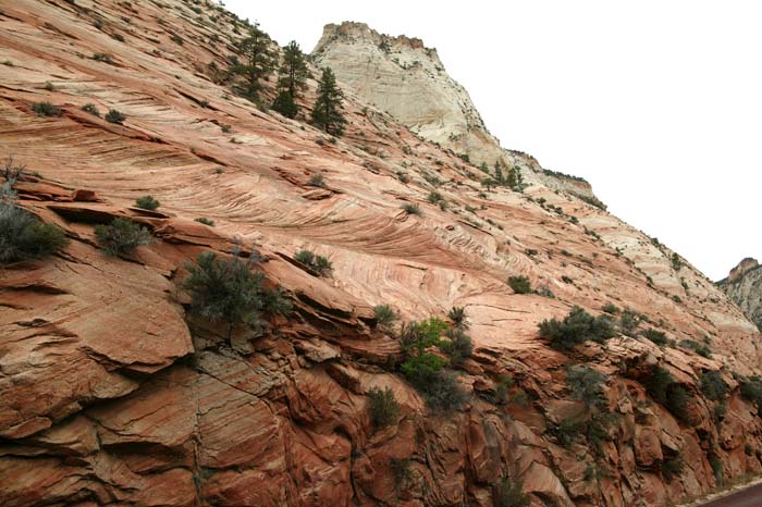
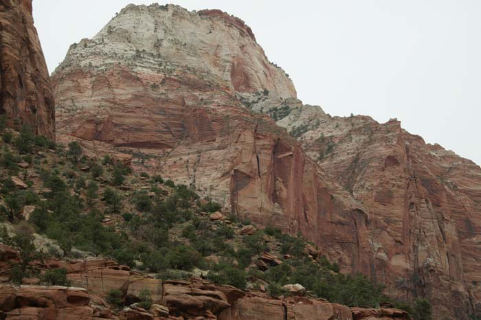
On the top, note the cross bedding in the sandstone.
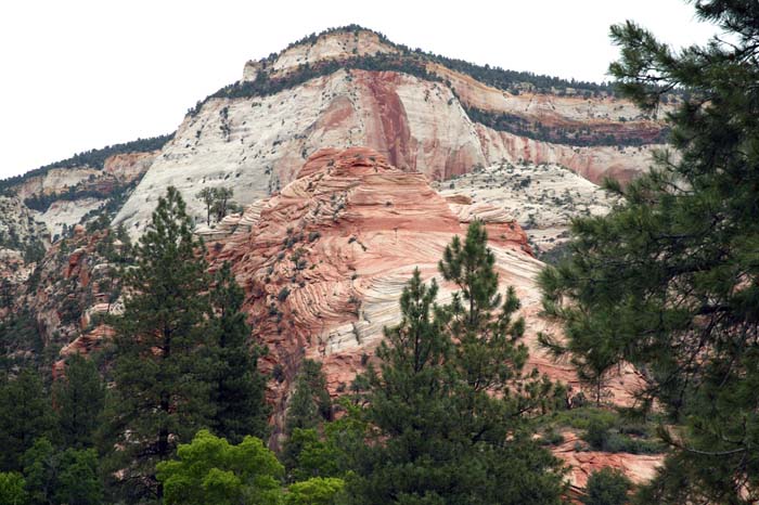
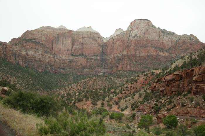
Hugh cliffs; note the pronounced cross bedding in the foreground.
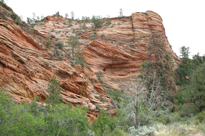
Pronounced cross bedding.
Note the layers that have been eroded then redeposited (on the horizontal boundary).
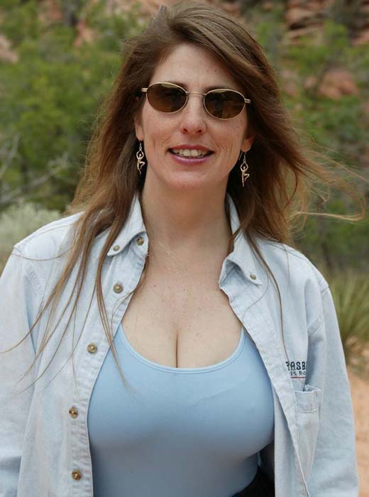
My expedition partner Kathleen.
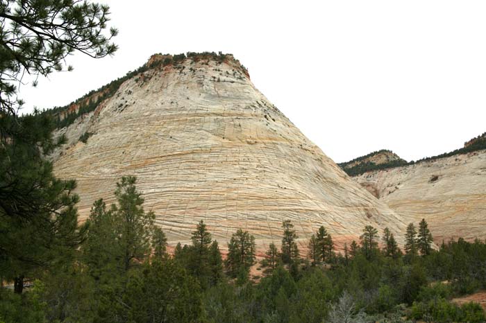
Checkerboard Mesa: a face of cross-bedded sandstone and vertical freeze-thaw cracks.
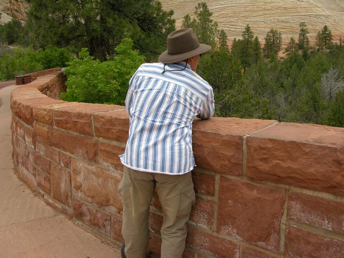
Searching for the perfect shot. Not achievable given the overcast light.
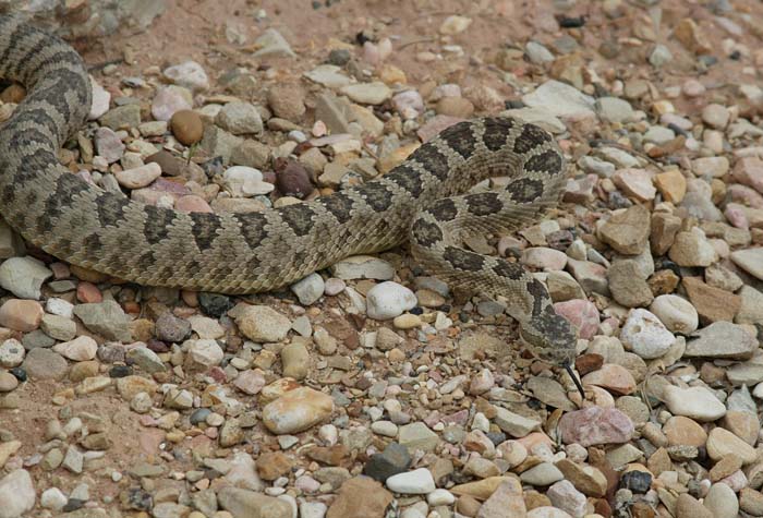
A friend looking for lunch. A generic rattlesnake, probably a Western Diamondback. I am not a herpatologist, but I know that I don't like them and give them wide berth when I see them.
A view from the Visitor's Center. Better visibility and lighting today.
The Cottonwoods were blooming, generally making a mess and our noses run.
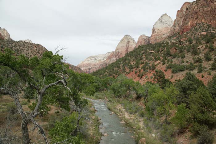
Looking south from the bridge on the Virgin River.
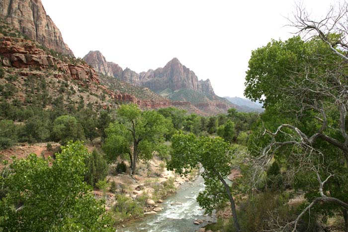
The Virgin river, looking north from the bridge.
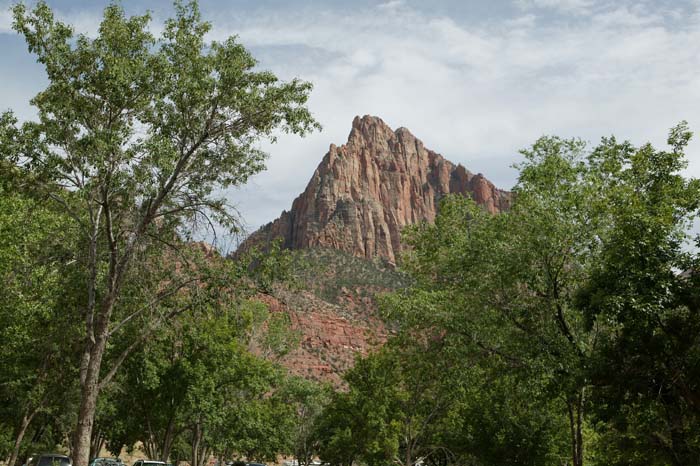
The "Watchman" peak as seen from the visitor's center.
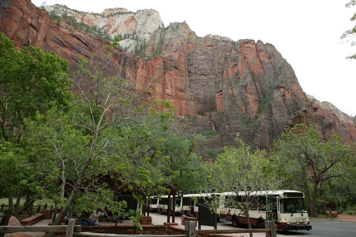
These shuttles have replaced cars in the canyon. This is probably a good thing, they run frequently and were not too crowded.
At the end of the scenic drive, at a place called the Temple of Sinawava.
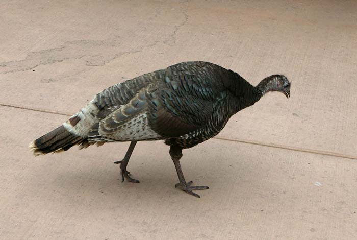
I expected to see two-legged turkeys in a national park, but I did not expect the avian kind. He could care less about the humans only feet away.
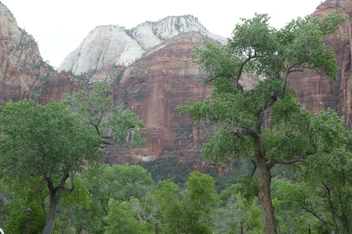
Nice Cottonwoods and awesome cliffs in front of the Zion Lodge.
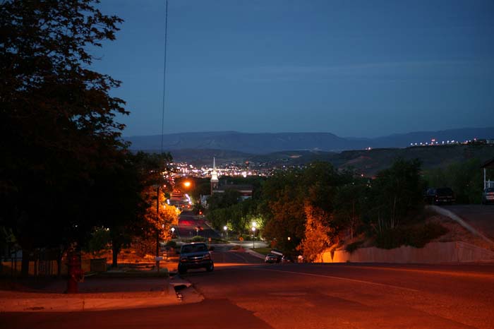
Near sunrise in St. George. I walked to the top of the bluff to see the sunrise.
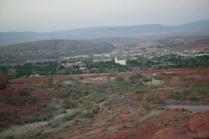
A view of the LDS Temple in St. George.
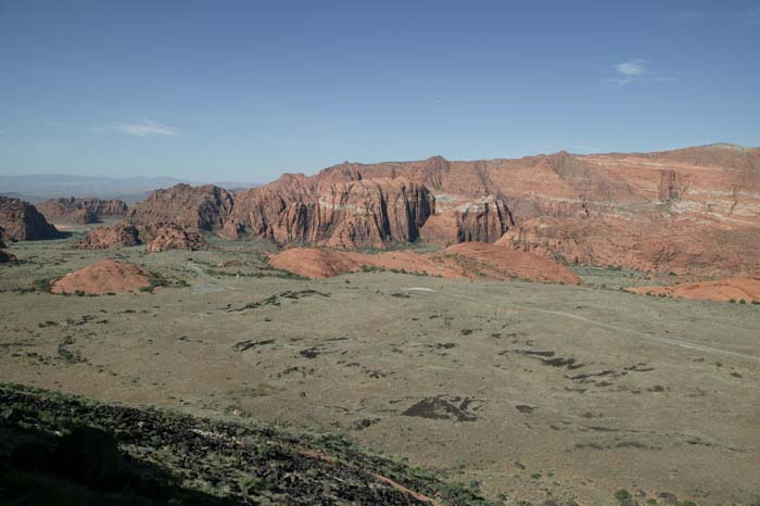
A view of Snow Canyon outside of St. George, UT. Note lava flow in the foreground on left.
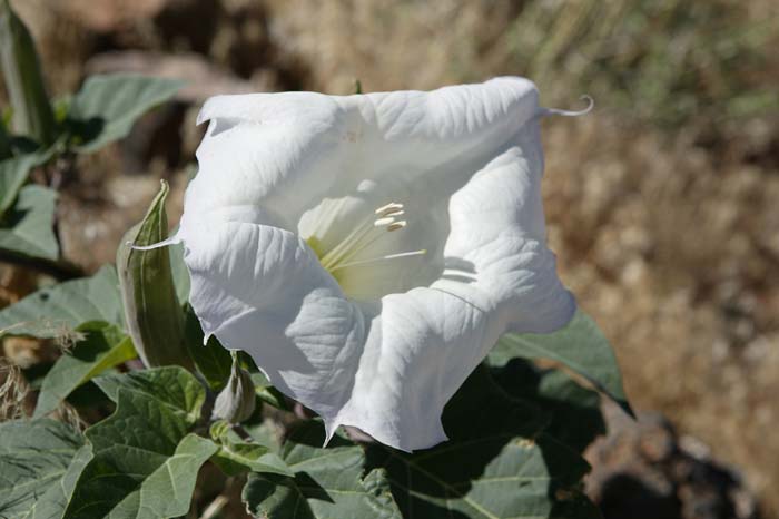
Jimson Weed, sometimes called Datura or "Loco Weed". Beautiful, but toxic.
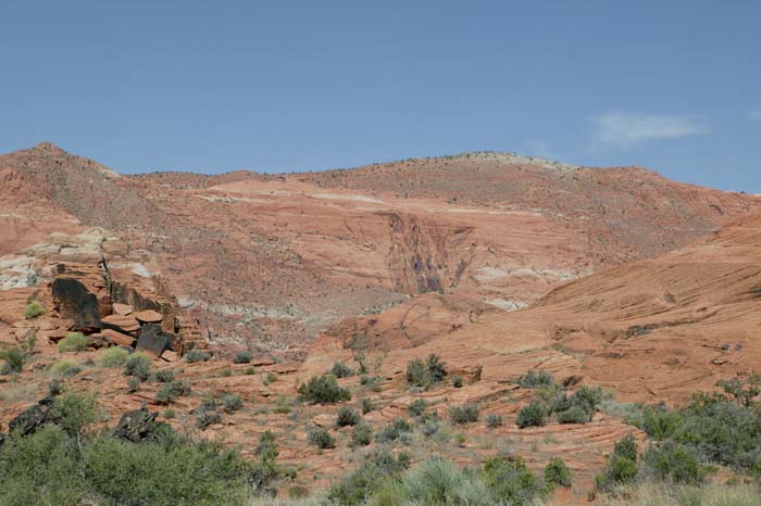
The redrock cliffs of Snow Canyon are great and the lighting was better than the previous day.
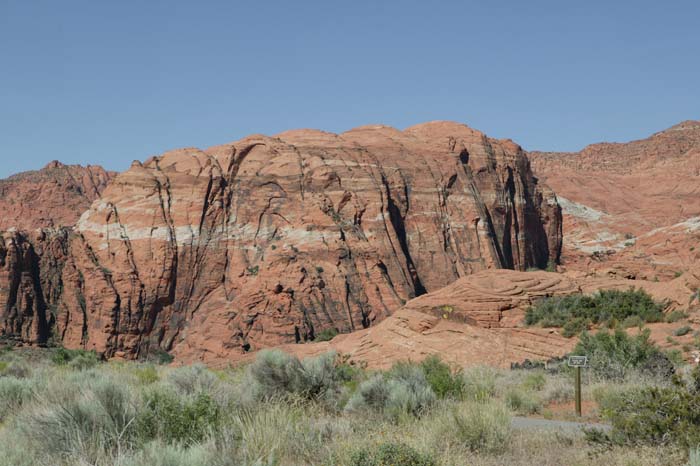
Notice the banding in the cliffs.
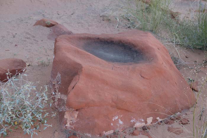
An indian metate at the foot of the cliffs. I looked for the "mano" but could not find it.
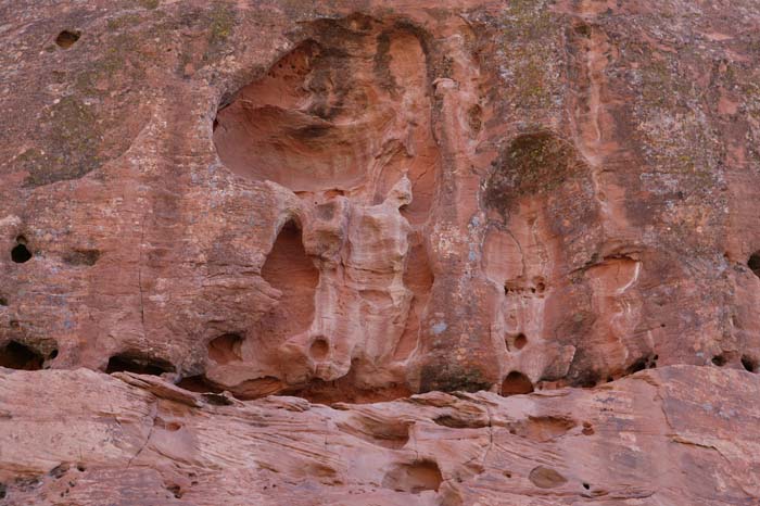
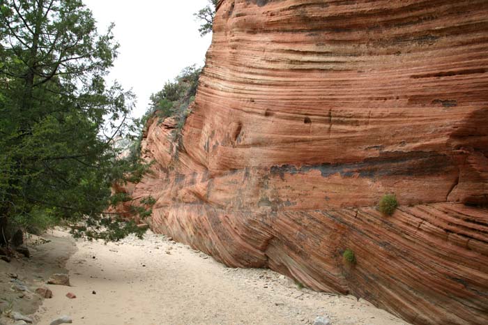
A final look at the erosion in the sandstone walls.
This was a good road trip. While we did not get the accomodations in the Zion Lodge that we sought, things worked out well. As it turns out, there were better, more convenient places in Springdale like the Desert Pearl and Zion Canyon Inn. Maybe next time. The drive back to San Diego from St. George was a drag, long and boring. Later this year I will be inventing the time machine that will remove these ugly wastes of time from my future road trips.
Personal contact info: bcaid "at" san "dot" rr "dot" com Read the email address and form it yourself. Link not included due to spam email address harvesters.
All photos and narrative text Copyright (c) Bill Caid 1977 to 2004
All rights reserved.