The objective of the day was to get from Guerrero Negro (GN), where we spent the night, to the whale camp at San Ignacio Lagoon. The night in the hotel was acceptable. There was the noise of the barking dogs to be contented with, but other than that it was ok. We packed and prepared to leave. We had breakfast at the restaurant next door to the hotel and it was fine. Once the group was fed, we headed out of Guerrero for San Ignacio. The plan was to get fuel along the way (twice), re-ice the coolers and head to the campsite from San Ignacio.
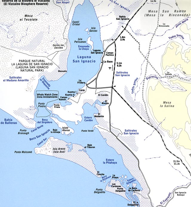
Our destination for the day was Laguna San Ignacio. More specifically, Camp Cortez on the shores of the lagoon (AKA laguna which means lake in spanish. But this is really a bay open to the Pacific ocean). It turns out that our camp was not shown on this detailed map. But, based on the local geography, we determined that the actual site was on the place named Punta Prieta. The good news was that we were very close to the whales. The bad news was that it was a pretty long drive and the roads were very confusing. The trail was not well marked and even though we had sent the recon team there a couple of weeks before and had a GPS bread crumb trail, we still got lost a number of times. The other issue was that the whole area was flat as a pancake -- basically a big salt flat. And, then there were the issues of the tide to be considered. See the photos below.
Map of the area.
We left the hotel around 8am, and the packing process was unremarkable. Once packed, we headed to the restaurant next door for breakfast Mexican style: Heuvos ranchero, beans, tortillas, bacon, etc.
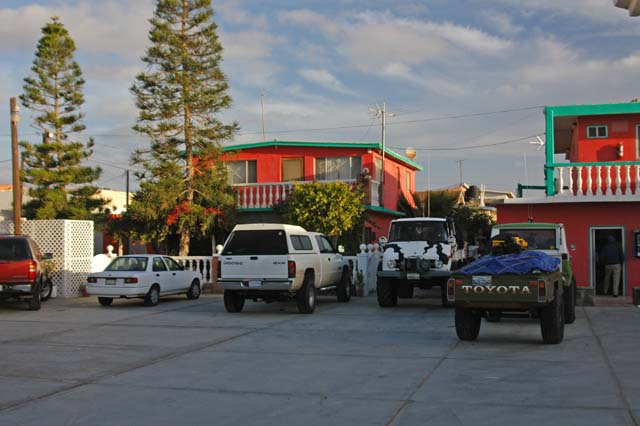
The courtyard of the hotel.
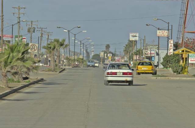
Main street, Guerrero Negro. Tall structure on right is a water tower.
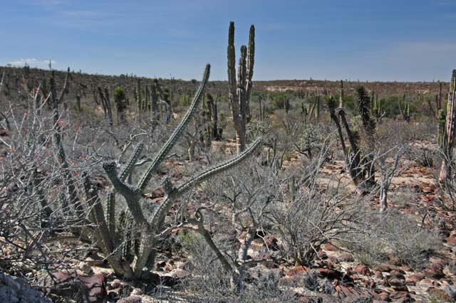
Most of the area south of GN is board flat with minimal vegetation. In this area of the desert, the kind and quantity of vegetation is closely related to elevation. With small increases in elevation come big changes in flora and fauna. As the road rose from the unremarkable, barren and ugly Vizcaino desert around GN, the cactus started to appear in copious quantities. Below is a stand of Cardon and Yucca cactus near the road north of San Ignacio. Note the flat-topped vocanic mesa in the left center of the photo.
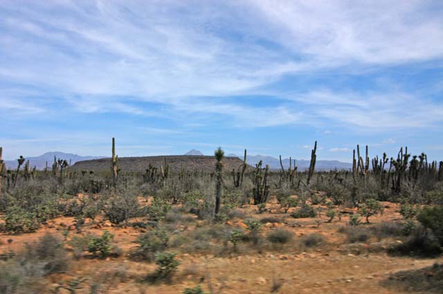
Flat volcanic mesa north of San Ignacio.
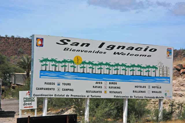
The sign that the off road part of the trip was near.
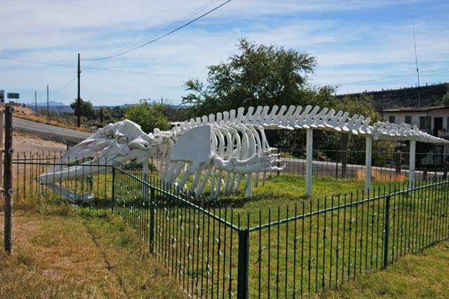
The San Ignacio Whale Museum. It was big.
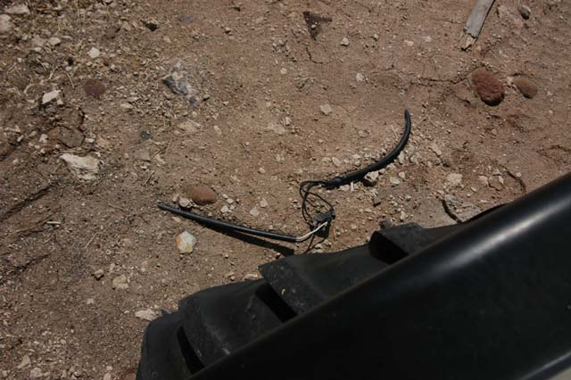
A photo of the electrical service to the signs. Not really to code.
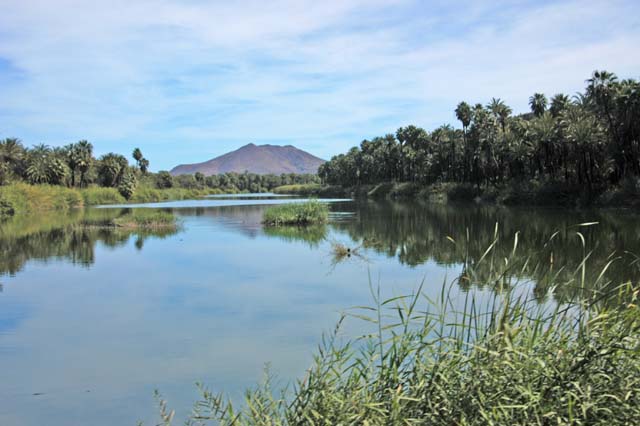
San Ignacio Lagoon in town. This is fresh water. Note volcanic crater in distance.
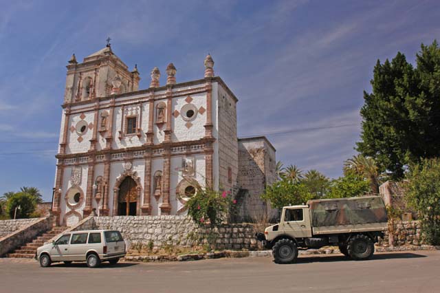
Mission San Ignacio and my 1300L.
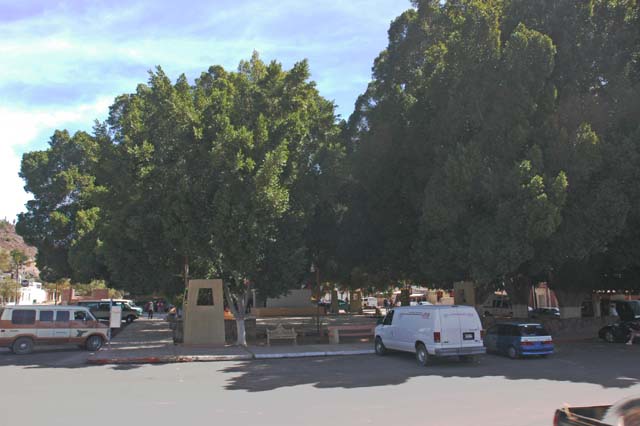
The town square where Katy would fall from the bandstand in the center of photo.
San Ignacio is a nice little oasis in the middle of an otherwise forbidding desert. The presence of the spring water fed lake in town is a perfect addition to the oasis image. San Ignacio was a Jesuit outpost in the 1600s, and that left an influence on the town people. This place is really quite quaint and clean. Paved roads even in stark contrast to all the other towns we had encountered getting here. There was a nice house for sale very close to the plaza. It was nice enough, in fact, that Kathleen and I discussed learning more about it. But, we did not follow through due to travel time pressures.
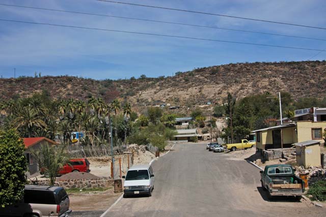
Looking south from plaza toward residential area, San Ignacio.
The road to the lagoon passes through the center of town and then climbs the mesa at the south end of town. Once on the top of the mesa, the road goes laser straight for 10 miles or so before dropping into the creek bed for a significant distance before reaching the salt flats. There were several more oasis-style ranchos on the trail to the lagoon.
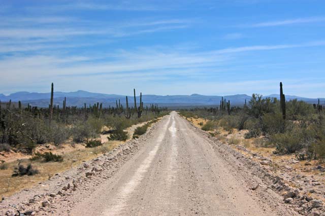
The long road from San Ignacio, more volcanic craters in distance.
Interesting cactus on the road to the whale camp.
Once we got to the salt flats, the character of the landscape radically changed. Nearly all vegetation disappeared and were replaced by either dry salt, wet salt or tide-filled tracks of people who attempted to cross the marsh.
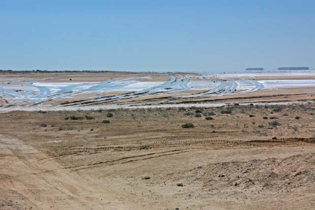
The salt marsh. Note flooded tracks; soft and mucky.
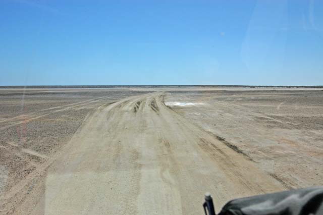
Flat terrain and confusing roads.
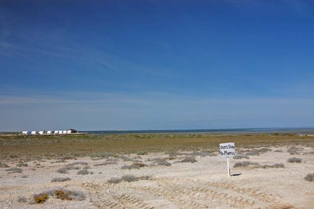
Our camp. The sign was a joke -- there were no plants to step on.
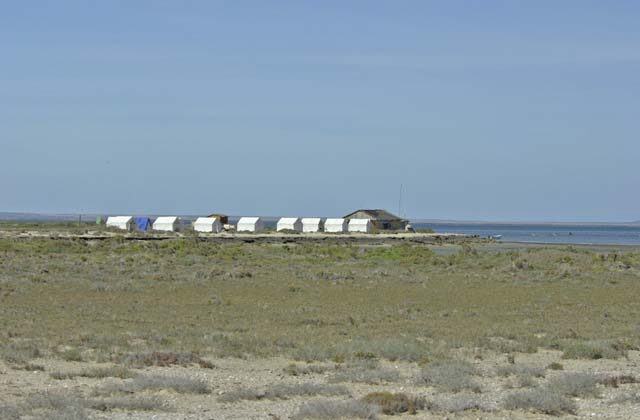
Cook shack and tents at the site. It was as barren and austere as it looks.
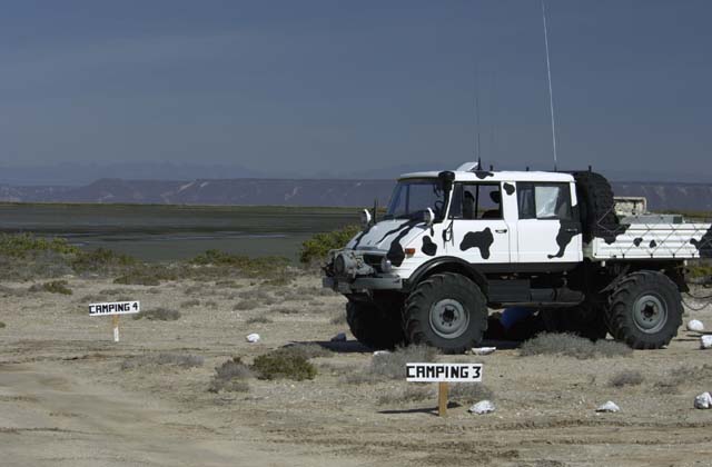
Kai's 416. Note volcanic mesa in background across bay.
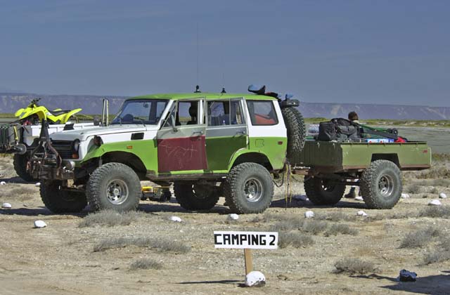
Mike's modified Land Cruiser with custom trailer.
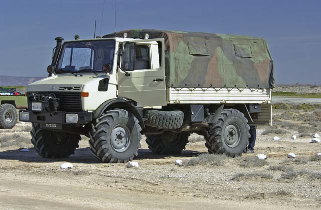
My 1300L ready to unload cargo.
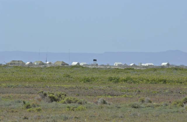
A nearby camp to the west, through telephoto.
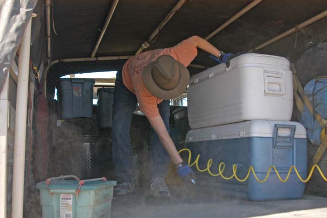
Kathleen blowing road dust out of the sleeping zone with air hose.
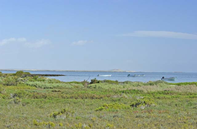
Whale pangas waiting for passengers, sand dunes across bay.
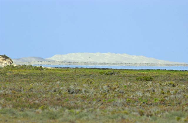
More unreachable dunes on Isla Arenas (Sand Island).
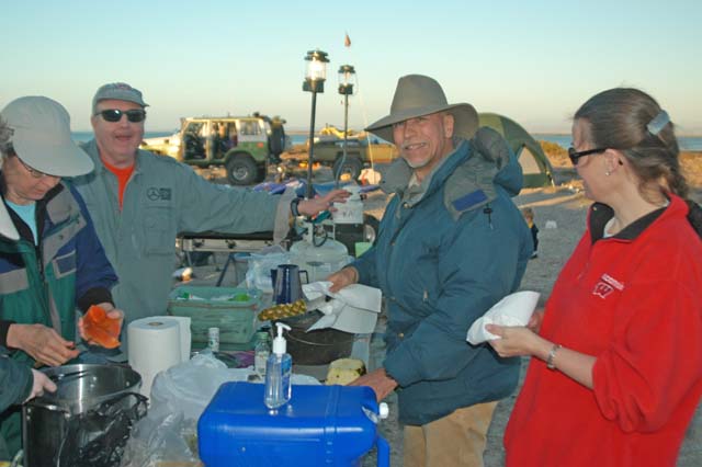
Making fruit salad for dinner. Note down coat -- it was cold and windy.
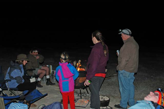
After dinner fire. Did I mention that it was cold and windy?
| Previous Adventure | ||
| San Ignacio Lagoon Home |
Photos and Text Copyright Bill Caid 2004
For your enjoyment only, not for commercial use.