Location: Colorado river from Moab to upper Lake Powell through Cataract Canyon
Notes and Comments : These photograpghs are of Cataract Canyon. The trip starts just outside of Maob, UT past the Potash mine. Once past the put-in point, the trip follows the Colorado River downstream through the confluence with the Green River and into Lake Powell. There are only a few rapids. However, the few that are there provide some real thrills. "Big Drop" is a set of two rapids that are more than 10+ and in low water are difficult to manuever. Since the trip was paddle boats, we had substantial difficulty with these obstacles. Our boat "wrapped" on BD-1 and I fell out. On BD-2 Kathleen fell over board as was swept through the rapids to the eddy pools below. She swallowed a lot of water and was delayed for 30 minutes while sorting things out. With us on this trip were Bob and Lois Means .
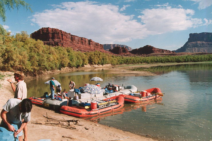
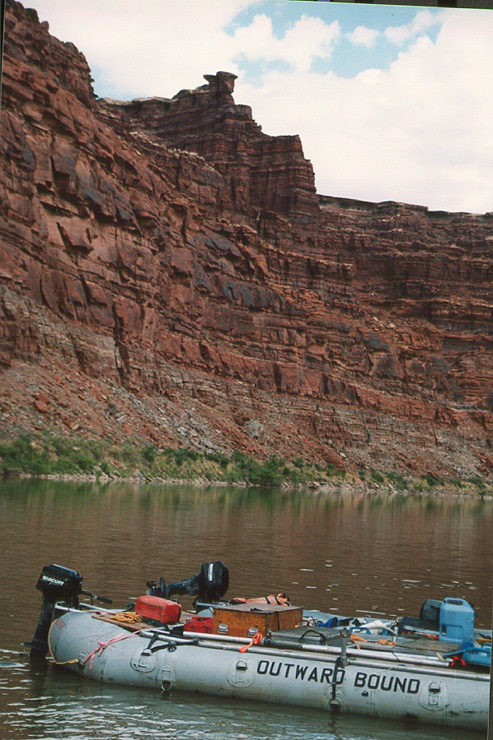
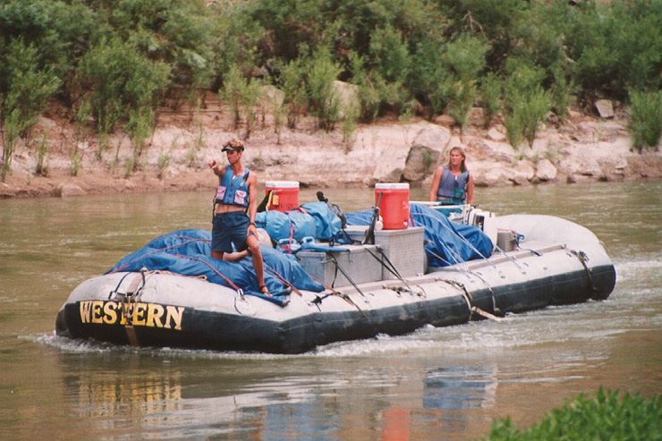
Start of trip at put-in point just downstream from Potash, UT. Note that there were 2 sizes of rafts. The orange paddle boats and the gray motorized "cargo hauler".
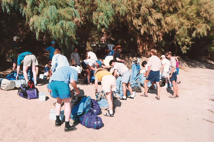
Back side of Bob and Lois in the foreground. All personnel were issued a waterproof bag for personal belongings. Salt Cedar trees in the background
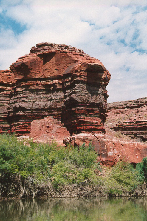
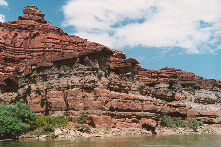
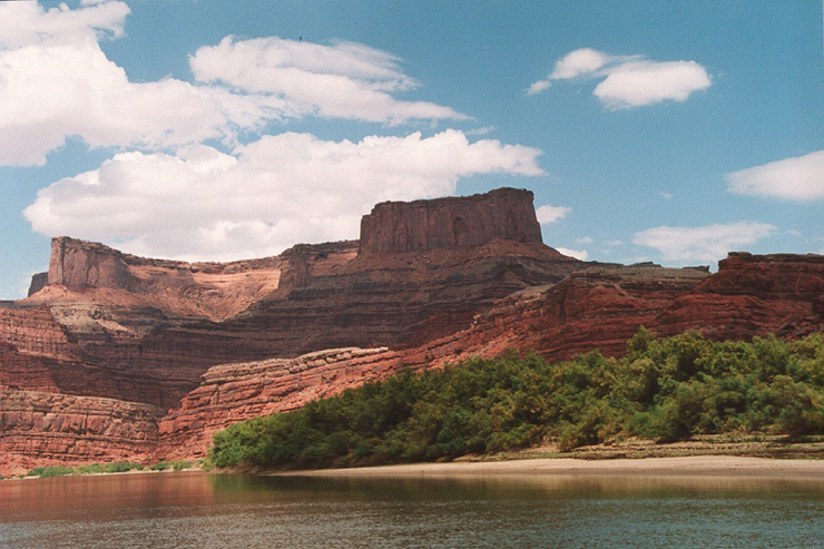
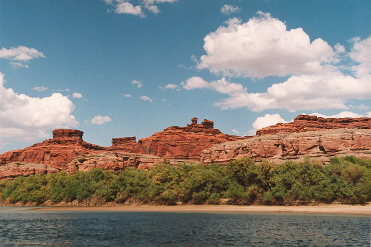
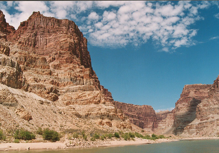
Rock formations downstream from Moab, UT.
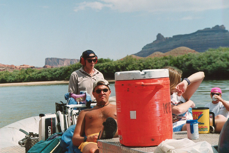
Lea Ann our guide with ear protection due to noise of the outboard. We used the motor in most of the flat water to speed the trip down stream.
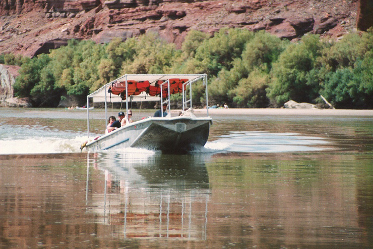
Canyon Lands Tour boat coming up stream from trip to confluence with the Green River .
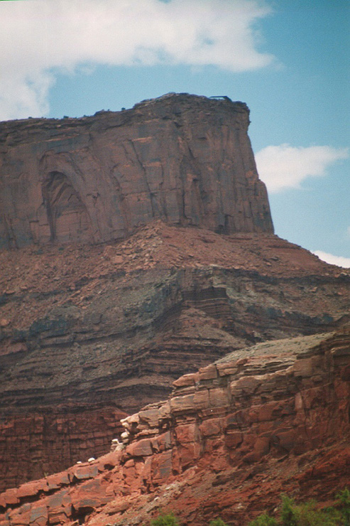
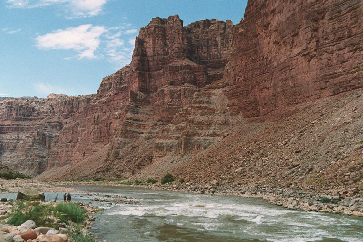
Interesting overhanging formation visible from river.
The meaa of Dead Horse Point. On the top of the mesa on the right hand side, you can see the outline of the viewing shelter. This view is looking due north
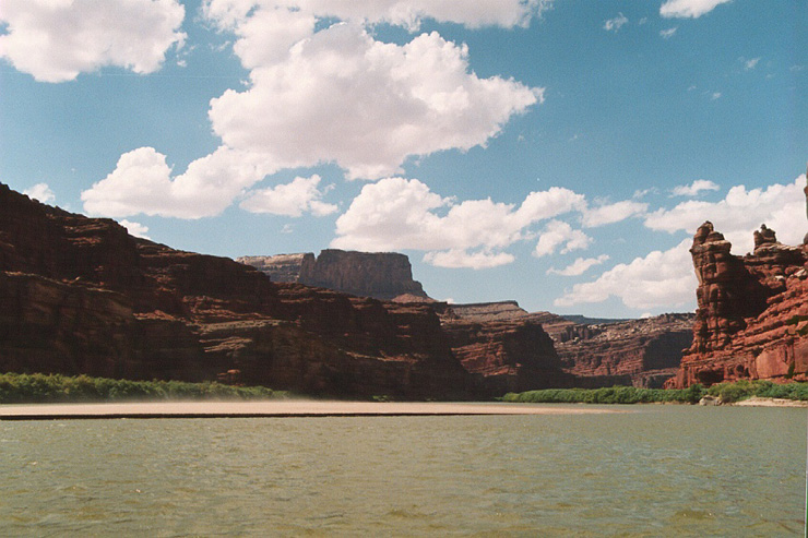
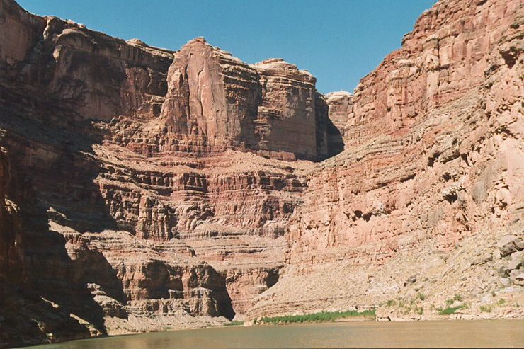
View looking upriver.
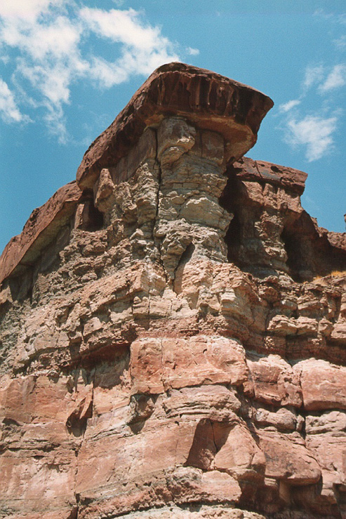
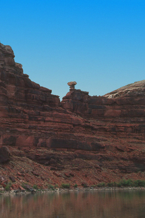
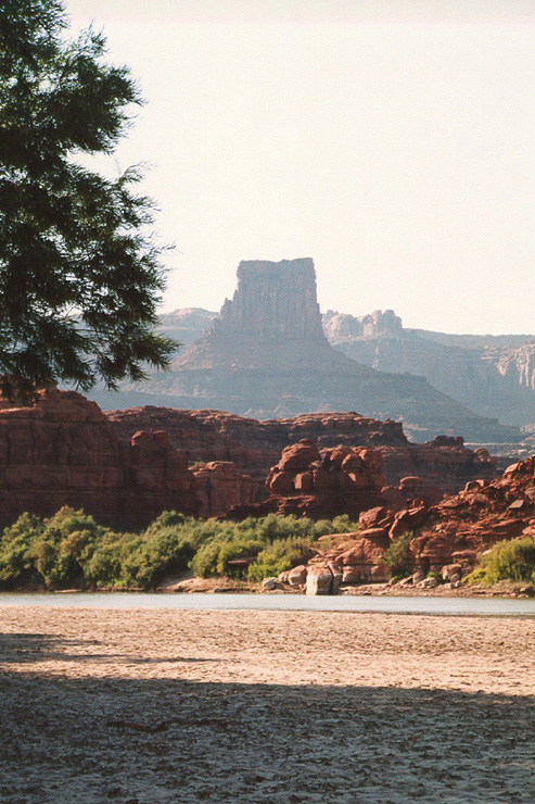
More balanced rock formations .
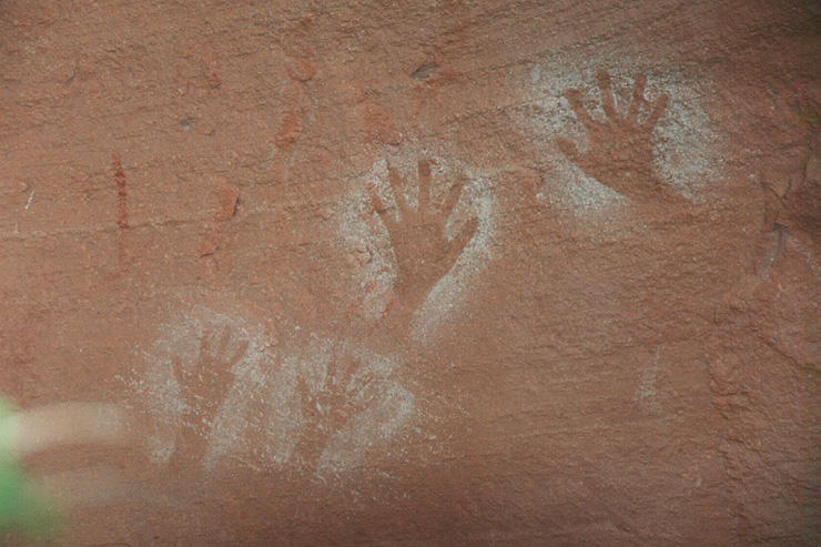
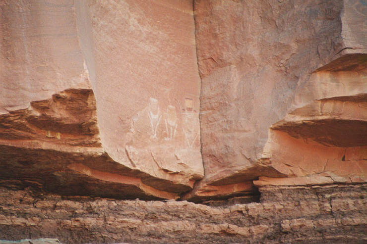
Indian pictographs made by blowing powdered pigment through a reed and using hands as the mask.
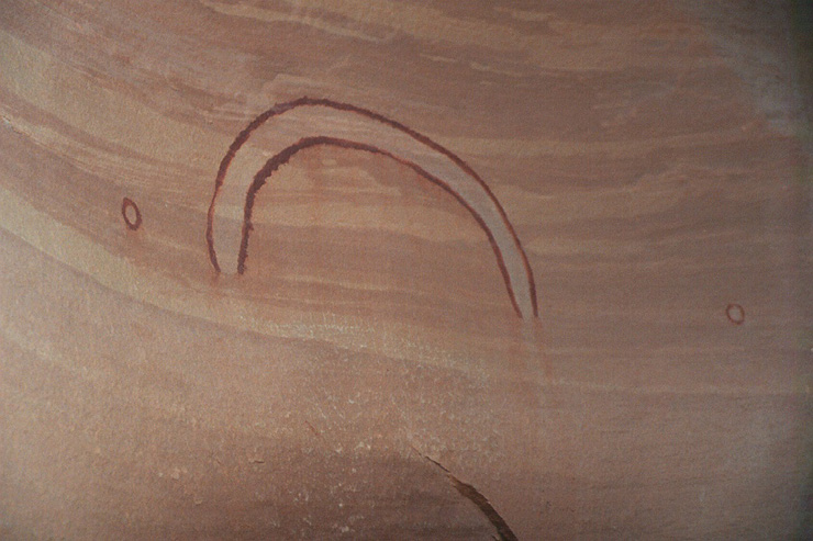
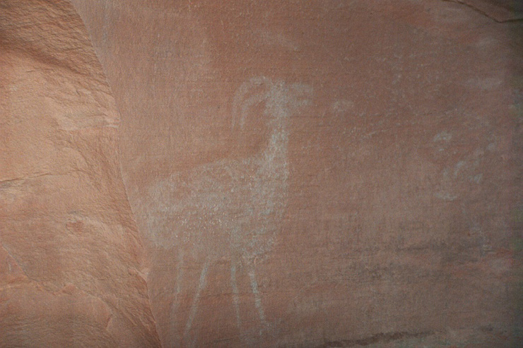
A depiction of a desert sheep.
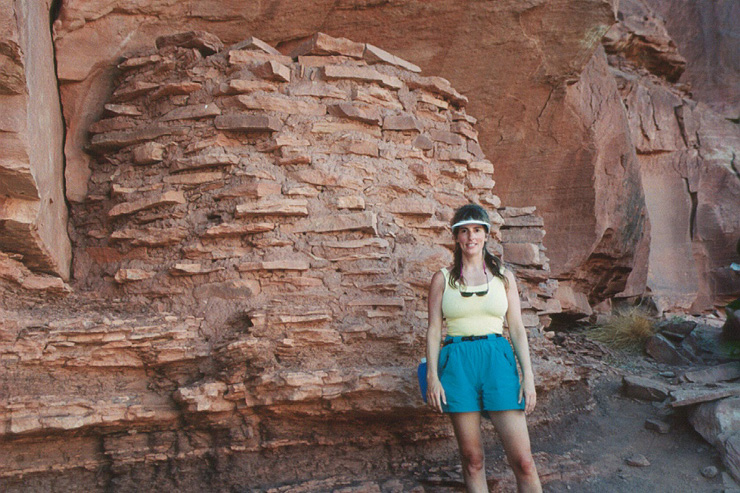
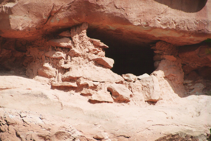
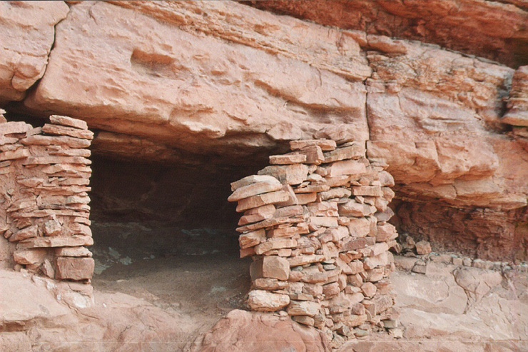
Indian granery used to protect grains from rodents. Note use of river clay as mortar.
Entrance to the granary.
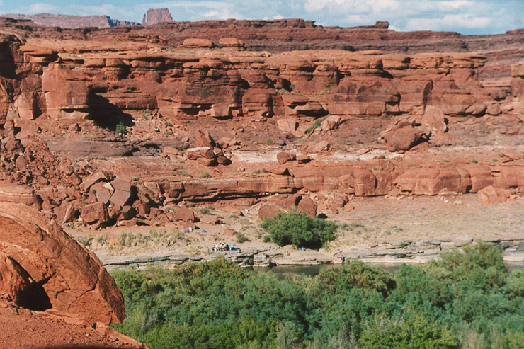
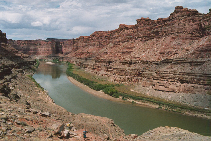
View across river from granery. Granery is substantially above river grade to protect it from flooding. Note party camped on opposite bank. Island in the sky in the distance
More petroglyphs.
Another granery made mostly of dried mud.
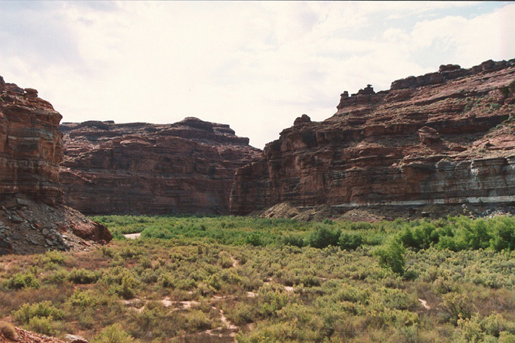
View of side canyon where granery was located. Any grains were grown in this valley. A small creek is on right where large brush is located. Note balanced rock on skyline.
We encountered another group at the granery. They had been out for several weeks and looked a little ragged.
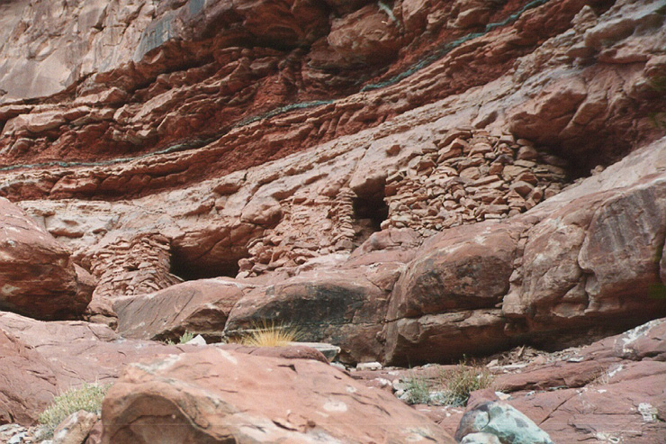
More graneries in the cliff side.
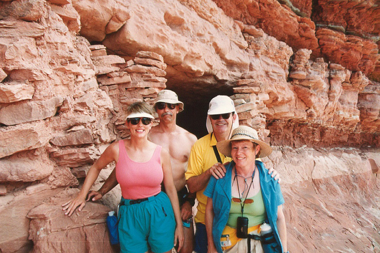
From left to right: Kathleen, Bill, Bob Means, Lois Means-Richards.
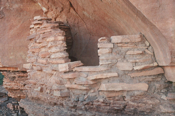
The granery without human obstruction.
View from neck of Horseshoe Bend. Note trail and hikers below. The group hiked across the neck to get this view from 1,000 feet above river level. One of the group experienced angina, causing collective angst.
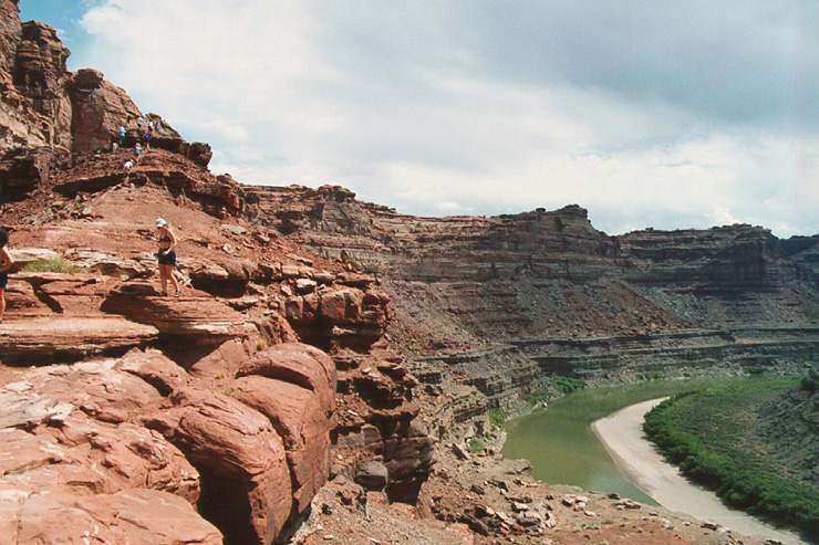
View of the downstream side. Note hikers on the peak
Upon completion of the over-the-neck hike, lunch was provided in the (limited) shade of the salt cedar bushes. The current was strong here, swiming was not advised.
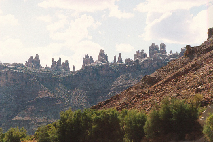
Needles on the sky line. This portion of the river abuts the Needles District of Canyonlands National Park in southern Utah.
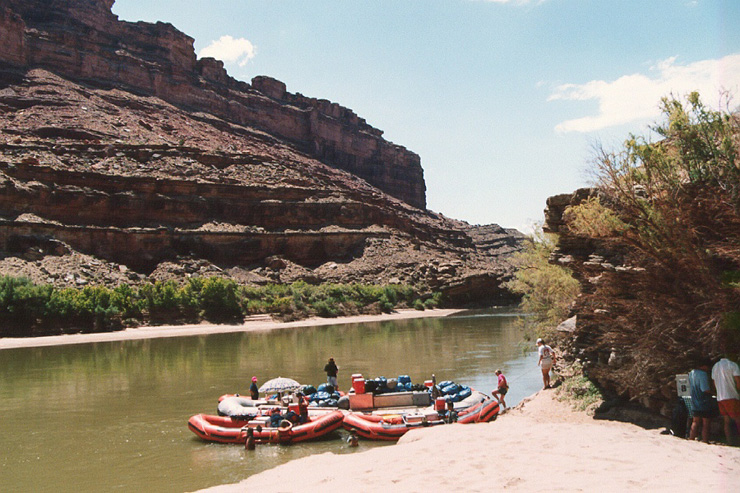
View downstream above Big Drop-1. Team is inspecting the rapid prior to attempting it.
Beacuse this is a major obstacle, Lea Ann used a spotter on the cargo raft to minimize that chance of mishaps.
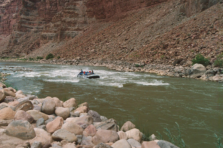
Being motorized, she had no apparent difficulty navigating the rapid.
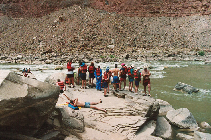
"Oh Shit!" party at Big Drop-2. We looked it over well befor attempting this rapid, but to no avail. We would still encounter potentially fatal problems with this rapid.
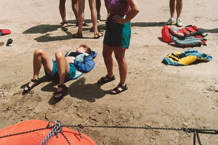
We wrapped the raft over a large rock at the top of the rapid. Kathleen fell out and did the balance of the rapid in the water, swallowing a large amount of river water in the process. Here she is recovering on the shore. I think she was quite scared by the dunking.
View downriver from the recovery site.
At the upper end of Glen Canyon.
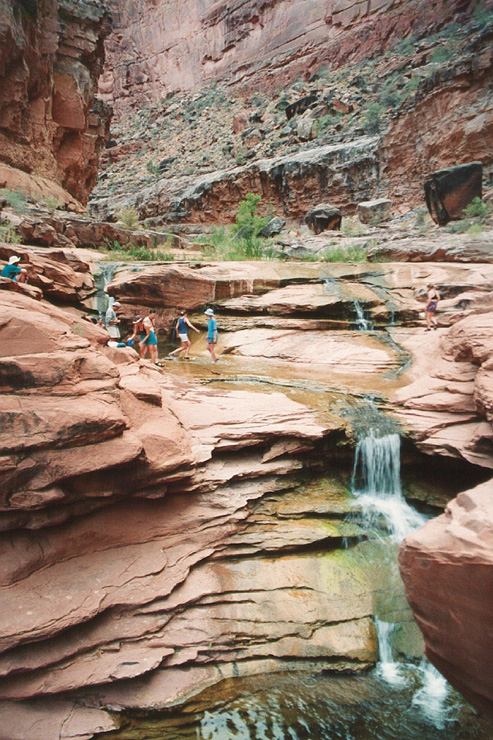
Exploring a side canyon with a small waterfall. We got back to camp after dark and the boatmen had prepared a fine meal and presented it in evening gowns and tuxes. All in all, an excellent trip with good, albeit hot, weather.
Personal contact info: bcaid "at" san "dot" rr "dot" com Read the email address and form it yourself. Link not included due to spam email address harvesters.
All photos and narrative text Copyright (c) Bill Caid 1977 to 2004
All rights reserved.