The photos below are what we saw.
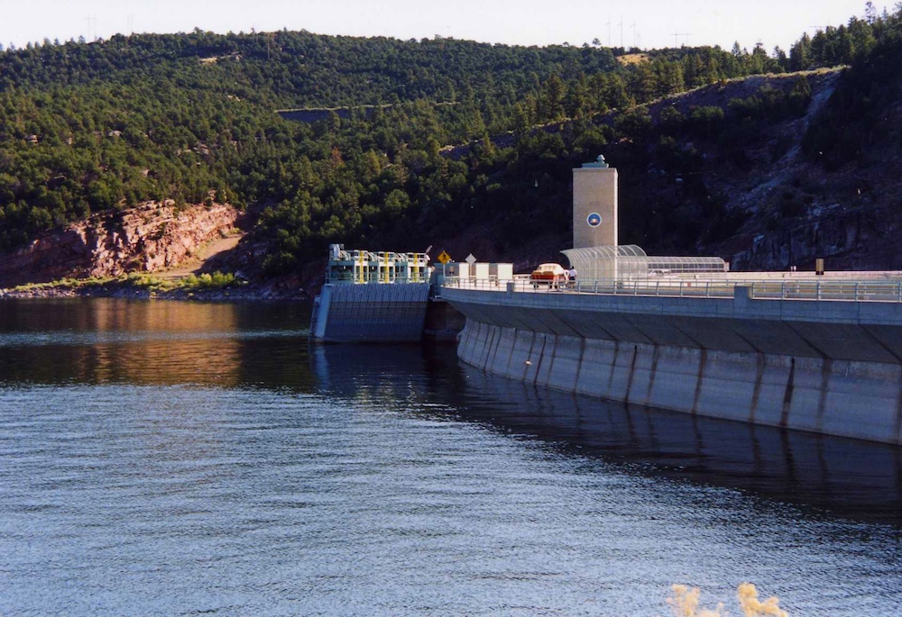
The high dam at Flaming
Gorge. We
parked and went in for a tour. When we were deep within
the dam, we were looking through a window into the control
center and noticed some alarm lights. Within a minute a
man walked into the room and I was waving my arms and pointing
at the lights through the glass. He opened the door and
said "Do you know anything about this stuff?". I
replied, "you want me to help you debug your system?".
"No, I just thought you would like to see it up close.".
Hell Yes! We went inside and looked around and then he
took us into the turbine gallery and then UNDER the lower
bearings of the turbines. We talked about a bunch of
issues, but he told us that the primary indicator of failure
is the temperature of the bearings. A change of 0.1
degree was a cause for concern. He also stated that the
EPA had forced them to move to a vegetable oil rather than
petroleum oil. The veggie oil does not perform as well,
but it seems to pollute less. That said, power boats are
allowed in the reservoir including 2-stroke jet skis.
So, it seems to me that the EPA actions did nothing but
endanger very expensive bearings in the turbine.
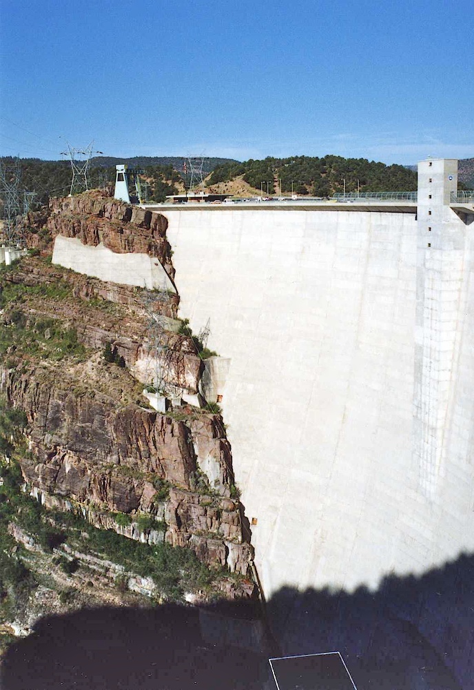
Another view of the dam from the downstream
side. The turbine gallery is in the
building at the bottom of the photo.
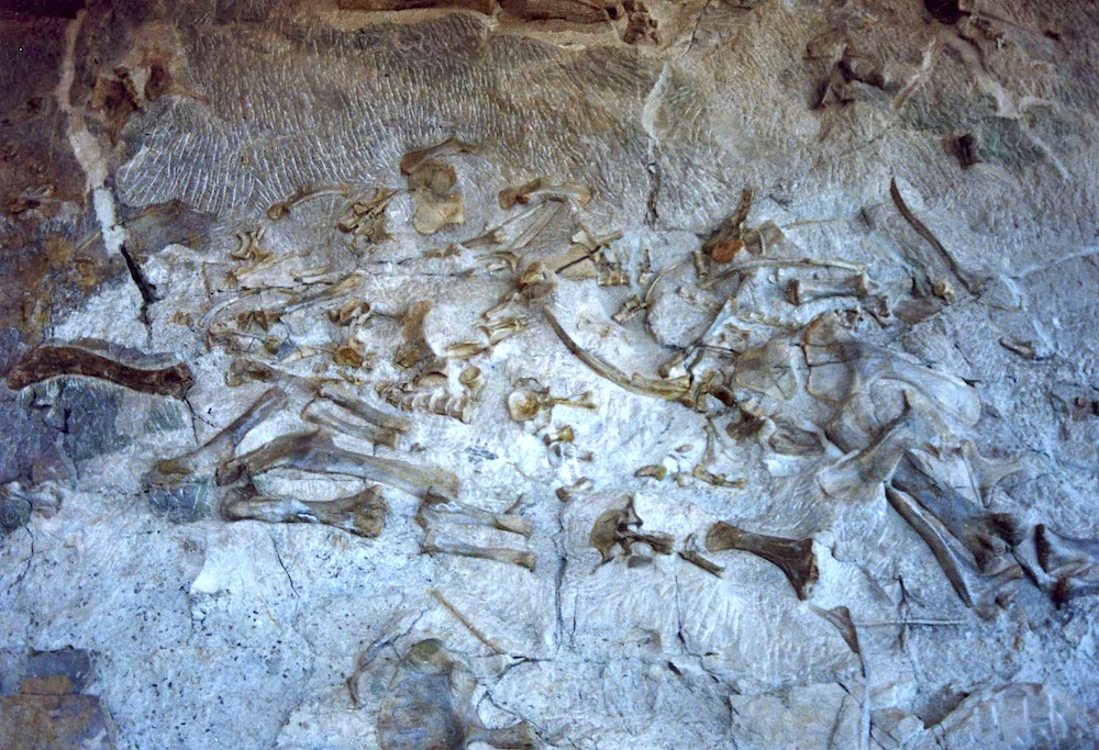
From Dutch John, UT we traveled to Vernal to
see Dinosaur N.M.
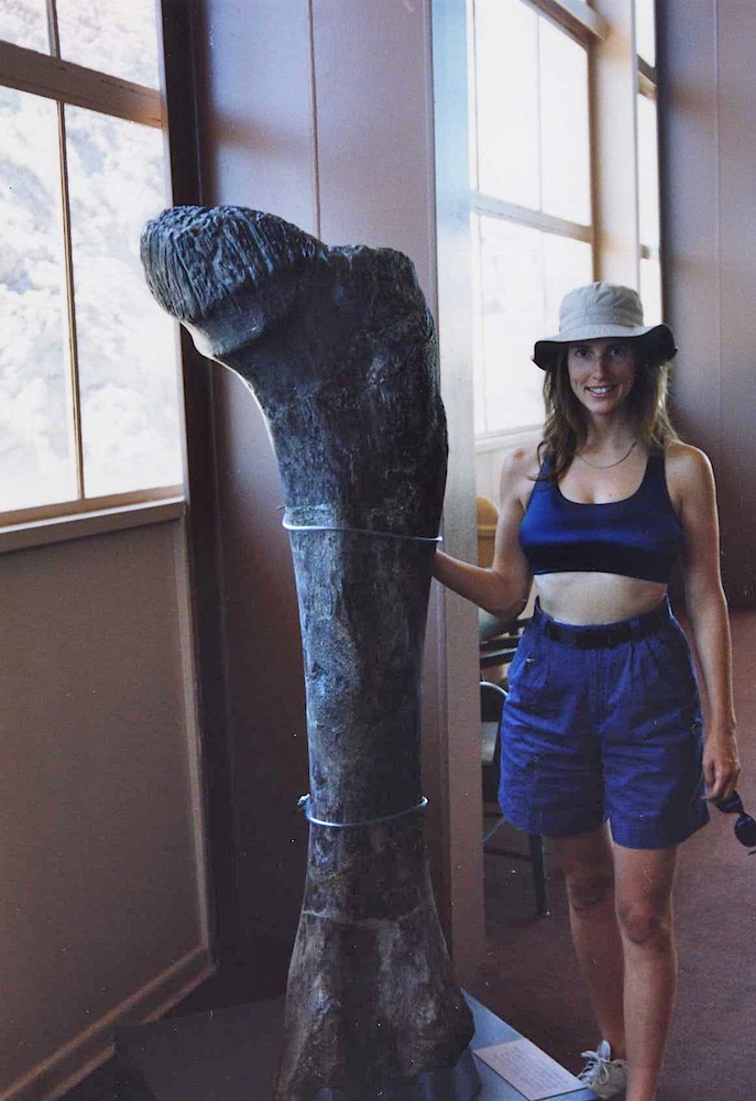
Kathleen has always liked
the bone, and this
photo proves it.
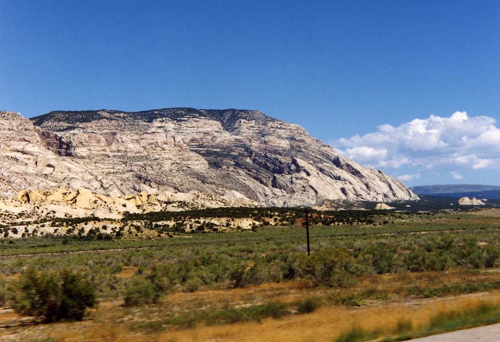
A monocline to the east of
Vernal, UT.
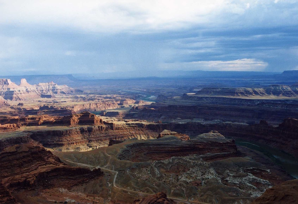
We traveled south to Dead
Horse Point outside
of Moab, UT.
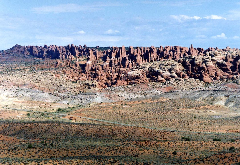
Some of the structures
visible from Dead Horse Point were incredible.
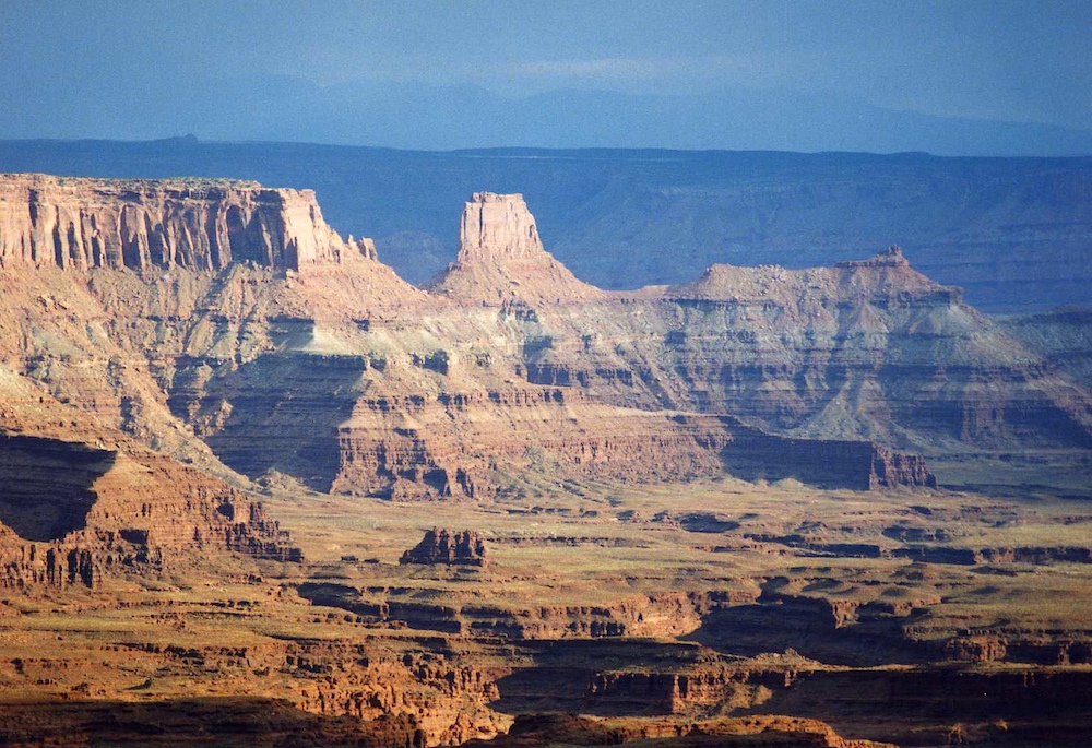
The "fins" region of the
Moab area is visible at the upper right
of the photo above. The clouds were making an
ever-changing patchwork landscape of lights and shadows.
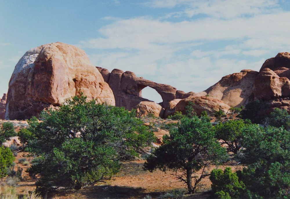
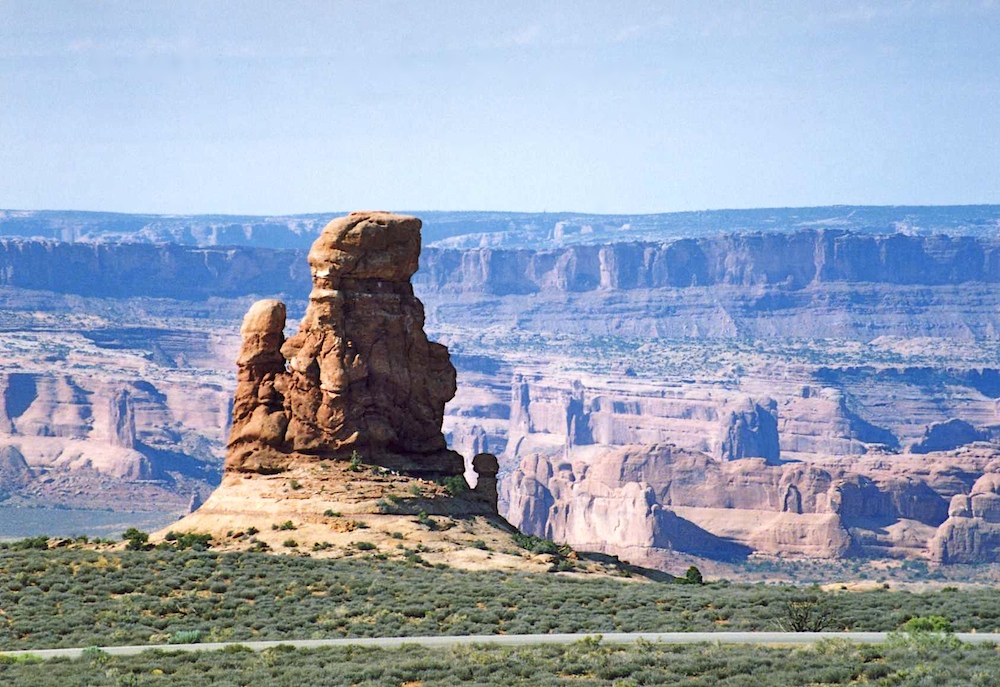
Along the way we got to see some of the cool arches in the Moab area. I think
this arch is on the road to Dead Horse
Point.
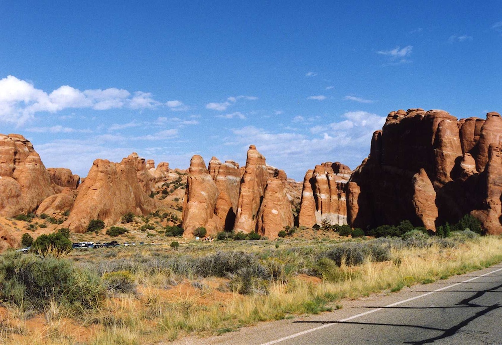
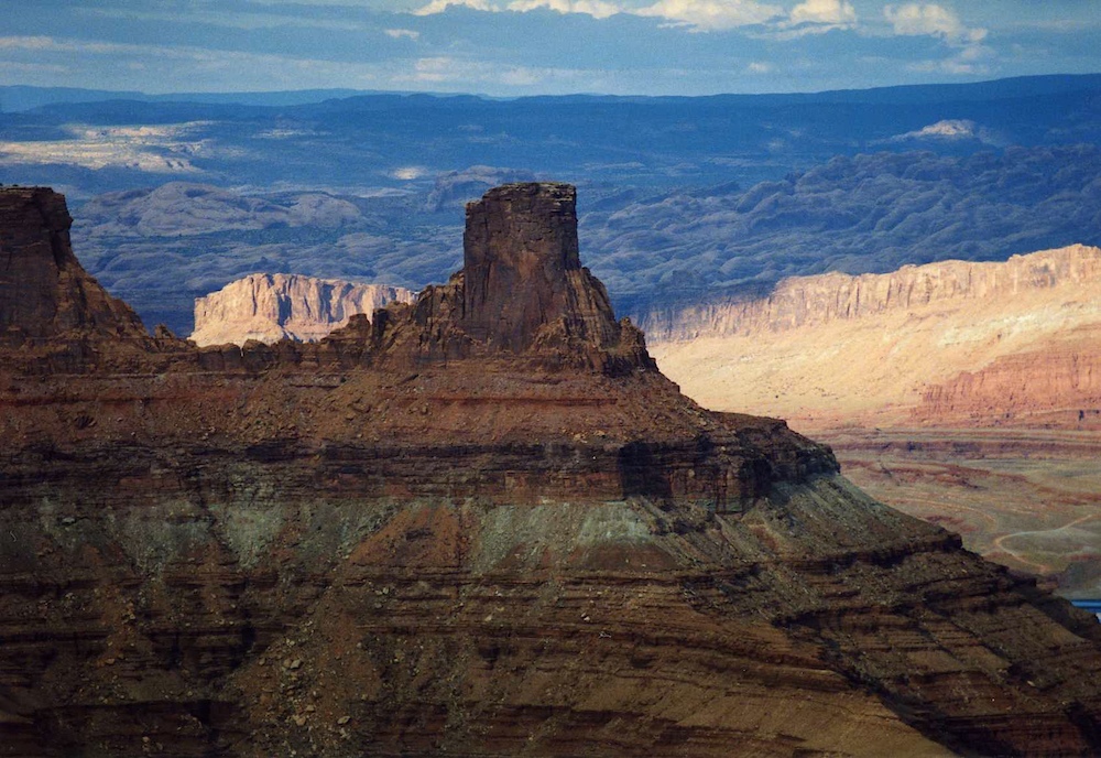
The fin structures around
Moab are very interesting.
Note the alcove structure on the far ridge.
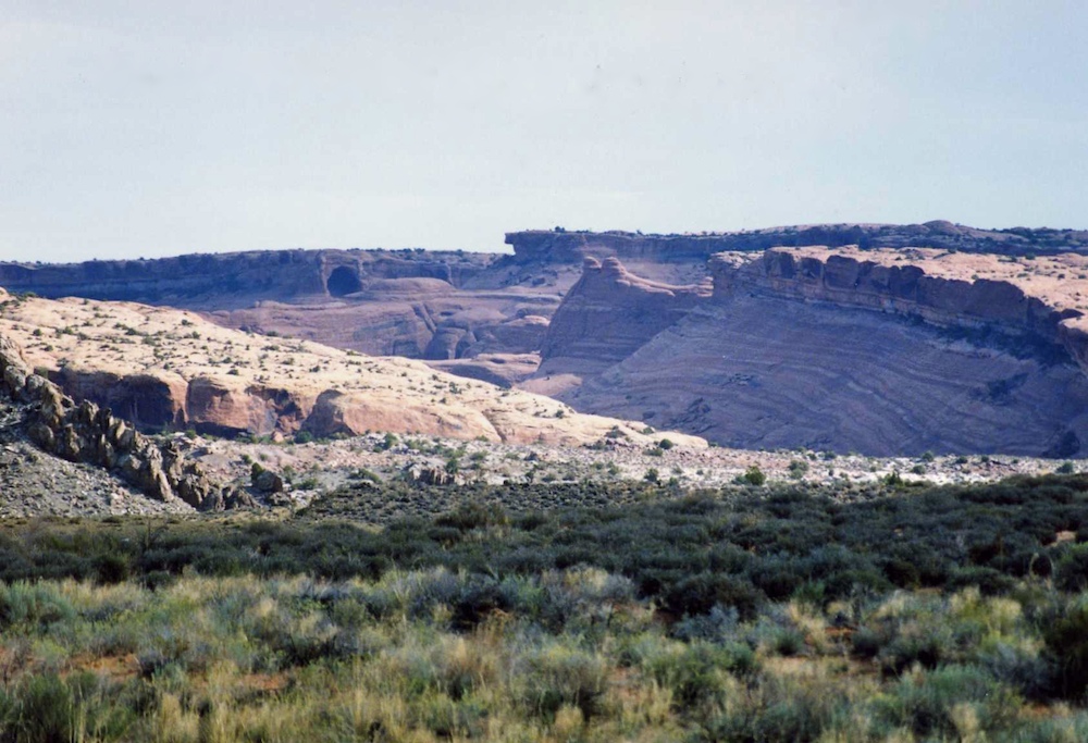
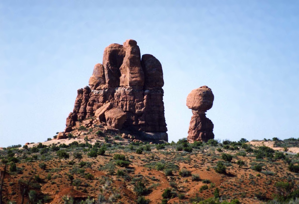
I do not reall exactly where
this photo was taken; perhaps in the Needles area of
Canyonlands, but more likely Moab.
Interesting hoodoos.
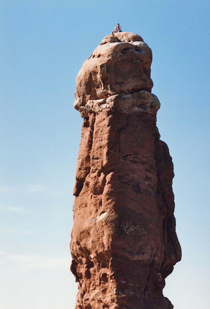
Note the climber who made it to the top of this
hoodoo.
Moab area, exact location unknown.
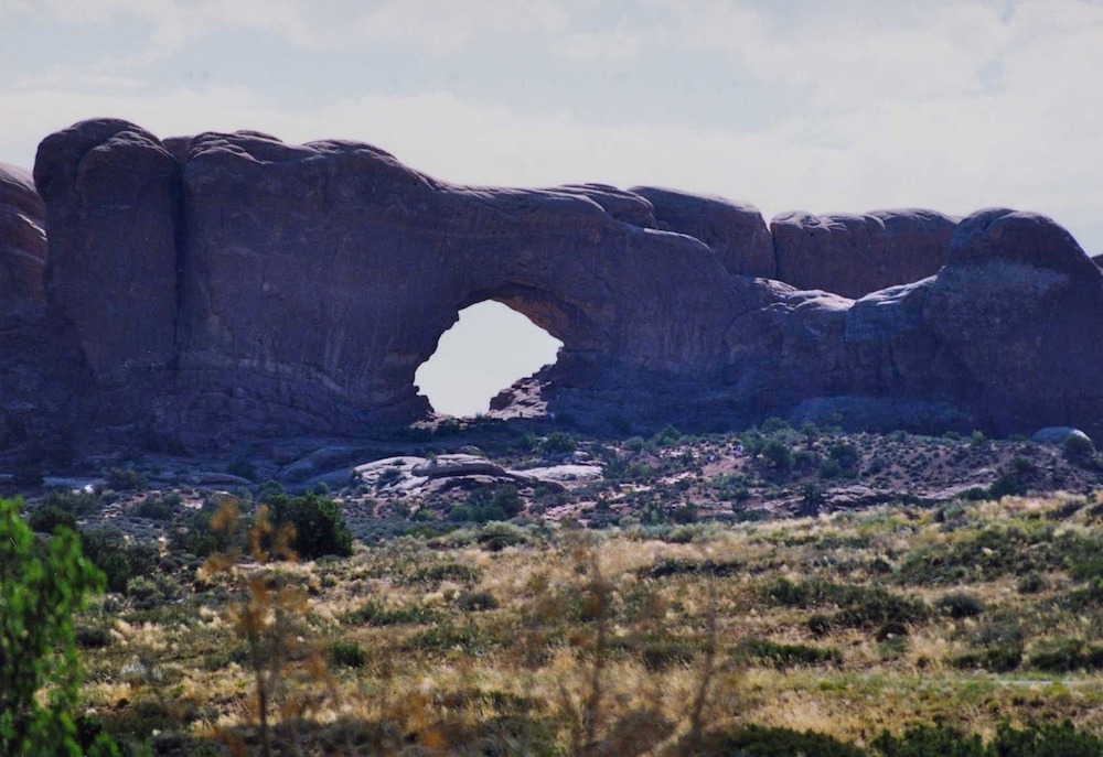
A massive arch in one of the
fins.
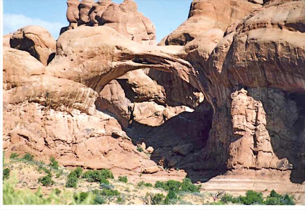
A somewhat out-of-focus photo or a poor scan. But, even given the technical quality, the arch is remarkable.
This was the full extent of the photos I scanned from this trip. I do not know if there were more, but if so, they did not get scanned which in today's world is the same as being lost.| Previous Adventure | ||
| Trip Home Page |
Photos and Text
Copyright Bill Caid 2013,
all rights reserved.
For your enjoyment only, not for commercial use.